
Dirt 251 took a while to be revived in 2023 for a few unfortunate reasons. Firstly, I tore my quadricep tendon in January. I did it playing indoor soccer, and while the surgery happened much faster than with my ACL almost exactly 10 years prior, it meant that I would still be out of commission for months. So skiing was done and I couldn’t get on a bike outdoors until mid-May. I slowly regained strength only to have this summer come with a one-two punch of wildfire smoke and historic flooding. It frankly felt quite scary and was a stark reality of our new climate reality (not to mention made for poor dirt road riding conditions). So I helped where I could and waited yet some more.
Like many others, I’ve continued to enjoy more local gravel rides with friends and the occasional Bike Gang. Yet, having only 5 of my Dirt 251 routes to ride and choose from made it a bit more challenging to get to them. Plus, I’ve committed to riding a few with particular people, so schedules need to line up too. However, last week, the weather was looking good (i.e. two consecutive days without rain) and my extreme Northeast Kingdom route was one I could do solo, so I took a Monday off work and packed up for an overnighter and my first 251 ride in close to 300 days!
This route was one I’ve been tweaking and fretting over for a long time. It looms so large in my head because not only is the area it passes through quite remote, the patchwork of land ownership in that part of the state is a confusing mess. Even with resources like the state Parcel Viewer and E-911 Map, it’s tough to tell what’s passable and what’s not. I partially relied on the VTXL and Vermont Super-8 routes I’ve referenced in the past, but they don’t go everywhere I need to town-wise. One thing I did do which has been helpful is join the Vermont Bikepackers VMBA Chapter. This gave me access to a ton of knowledgeable people that were able to help pass along some beta on the route. Having done a short overnight earlier in the year, I wasn’t too worried about my gear (including a new bivy I bought used OGE). But I kept checking and rechecking the route. Eventually, I had to just accept that the point of an adventure is not fully knowing what to expect, so I went to sleep Saturday night ready for whatever came.
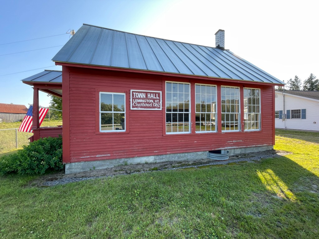
It started in Island Pond, a village of Brighton, the most populous town in Essex County, tucked deep into the Northeast Kingdom and almost two hours from home. In many ways, this region has its own flavor but what I mainly knew about Island Pond came from a controversial raid: in 1984 state police swept up 112 children who were part of the Northeast Kingdom Community Church amid accusations of abuse. It was on the front page of the New York Times and has had ripple effects through to this day. These days, the downtown is a bit sleepy and serves as a crossroads for many types of recreation: in the paddling season, it’s a stop along the Northern Forest Canoe Trail and in winter, the place really shines: they claim to be the “Snowmobile Capital of Vermont”.
I parked adjacent to the eponymous pond, hearing a loon in the distance. It was a pretty quick process to get packed up and I was on my way onto Route 105 then soon onto the dirt roads north into the heart of the Kingdom Heritage Lands. I touched on this unique owner/management patchwork during Ride 31, but I’d be working my way through and around the bulk of these parcels on this ride. To learn more about the history and details of these lands, check out these fantastic articles from Northern Woodlands Magazine. I was now traversing Weyerhaeuser-owned timberlands. This company has over $10 Billion in annual revenue and owns over 12.4 million acres of forest in the US alone. It was clear this area was used for timber production, but the cuts weren’t too massive and the roads were in great shape.
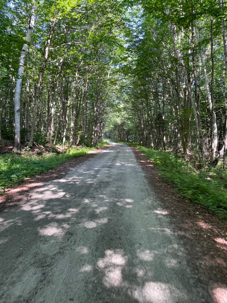
Soon I entered the town of Lewis (population zero) and the road pitched up slightly and slowly began to lose quality. A man in a pickup was doing some basic repairs to what was essentially some logs laid into a stream to create a ford. Folks explore these roads in the summer, but it’s much better suited to winter travel. He was a member of the local snowmobile club and wanted to stay ahead of maintenance so the trails would be ready for the season. He warned me I may get a bit wet higher up on the ridge, but I pressed on after a brief chat. He was correct: the mud arrived soon after. There was a lot of pushing of the bike and more than a few moments of soaking shoes, but they were never fully subsumed by the muck. By this point I was in Avery’s Gore, which at 17.6 sq. miles is the largest gore in the state. As I talked about when going through Buel’s Gore on Ride 26, gores are unincorporated parcels that were “left over when surveyors plotted boundary lines between neighboring towns but couldn’t quite make them meet.” I made my way up to Unknown Pond, which has reportedly the sole structure in Avery’s Gore built next to it: a hunting camp. The Green Mountain Club maintains some hiking trails that cross through the area and soon after the saddle where the pond and trails sit, I reached Warren Gore and began heading down through a massive sugarbush owned by Sweet Tree Holdings. More on them later. For now, I was just happy to not have to pedal or push my bike and I was soon down on Route 114.
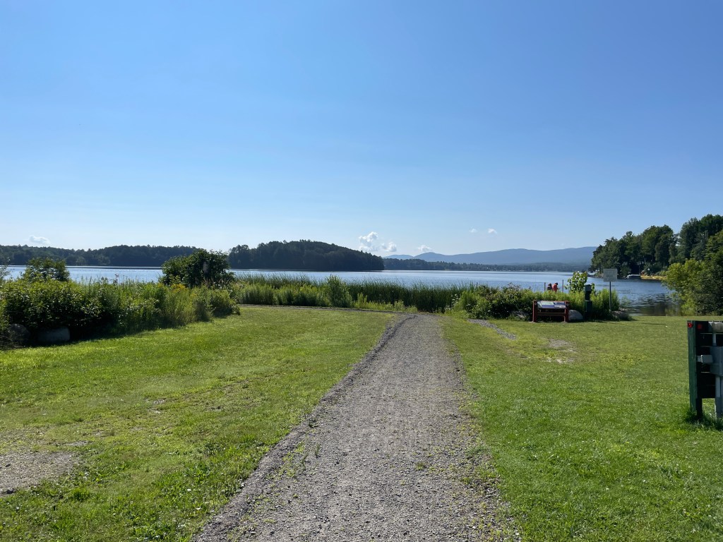
The Pond and its island 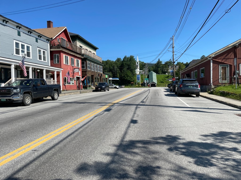
Downtown with a covered walkway up to South Street 
The first sight of logging: see the patch on that ridge? 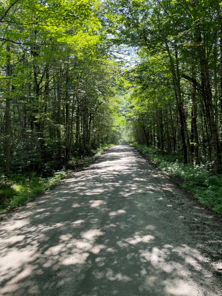
Beautiful roads of Lewis 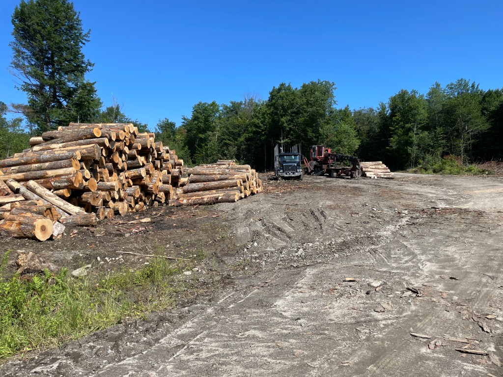
One of many landings 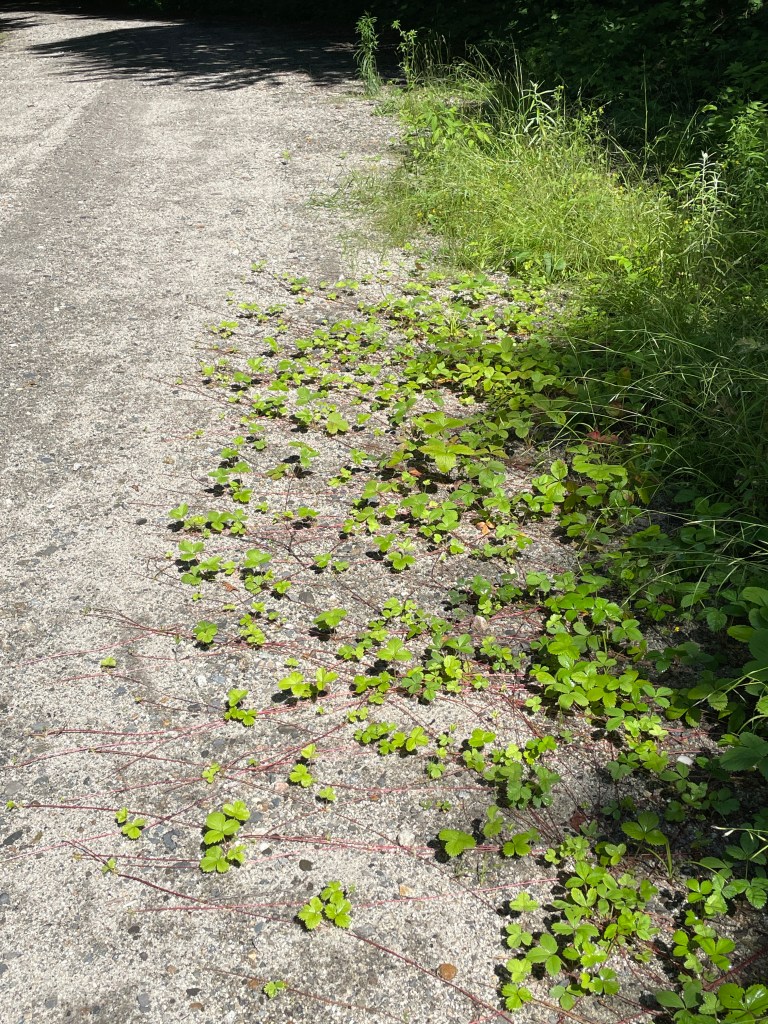
Some of the many Wild Strawberry vines creeping onto the road 
Yup, it was wet 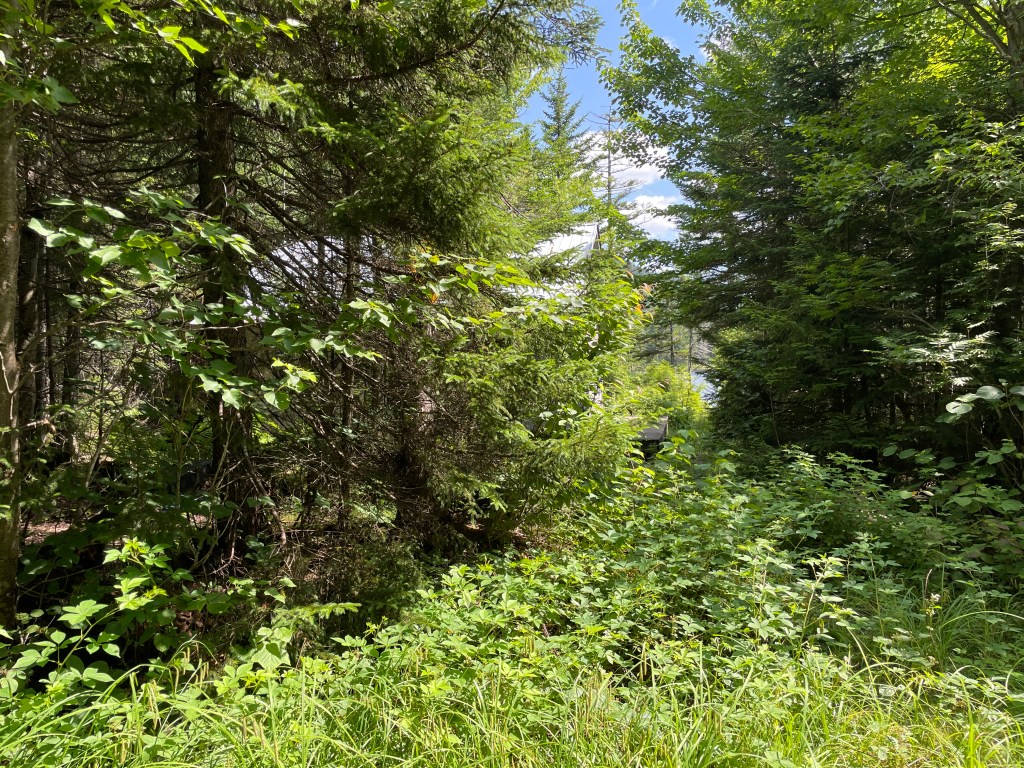
There’s a cabin and a pond back there, I swear 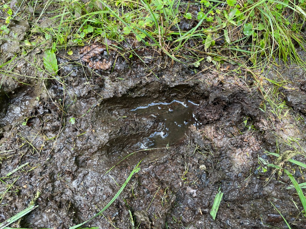
I’m not the only summer traveler
Having heaved and bumped my way up and down some rough tracks, the prospect of a mile or so on smooth pavement sounded pretty good. Soon enough though, I took a left onto Hurricane Brook Road in order to pop out and nip Warner’s Grant. Grants are similar to Gores in that they’re unincorporated territory, but while our neighbor New Hampshire has 8 Grants, Vermont only has one. I wasn’t precisely sure what type of path to expect and after dipping under a gate, the double track quickly became waist-high grass covering a VAST trail. Unable to ride, I pushed through and thankfully came to a sign indicating I’d crossed the boundary into the Grant. The sign and the map border aren’t in perfect agreement, but I feel like I just made it about 20 or so yards in and it will definitely be the shortest distance traveled in a municipality during this project.
I turned around and continued on Hurricane Brook to try and skirt Norton Pond into Norton proper. This leg was one I wasn’t so sure of: the roads appeared to possibly be private, but I was stymied by a different road block. A literal one: the road had been washed away in the recent rains. (Side note: there are some campsites and tracks to the north in the Bill Sladyk Wildlife Management Area that might be worth coming back to explore.) Now definitively blocked, I returned to 114 and followed the pavement on the south side of Norton Pond until I came to another gate and more Sweet Tree Holdings land which held a service road that would take me up to a power line maintenance road and the VTXL route. Sweet Tree are an enormous sugaring operation by Vermont and even national standards. They’re the largest single-source maple operation in the world. To put their scale in perspective, the average Vermont producer makes about 1200 gallons of syrup a season, while Sweet Tree can make 6000 gallons AN HOUR! In 2013, they made a splash when (with the backing of a Connecticut hedge fund) they arrived on the scene which had smaller producers worried about it signaling a shift in the market and feared this may foretell something similar to what’s happened in the Vermont dairy industry. So far the smaller-scale producers have been fine and I was just glad I could ride through their sugarbush. I saw plenty of sap lines on my way up, as well as tanks and generators at collecting stations. I even saw a Tim Hortons wrapper at one, showing that at least one of the over 100 year-round employees probably comes down from Quebec. Resting after my climb, I heard the telltale buzzing from the high voltage power lines above. Luckily, I had a nice descent ahead of me, down to the Lake View Store, where I was able to pet their cute store dog, buy a few things, refill my bottles and eat lunch.

Am I in the movie Pleasantville? 
Southern reaches of Norton Pond 
I’m not the only crazy one! 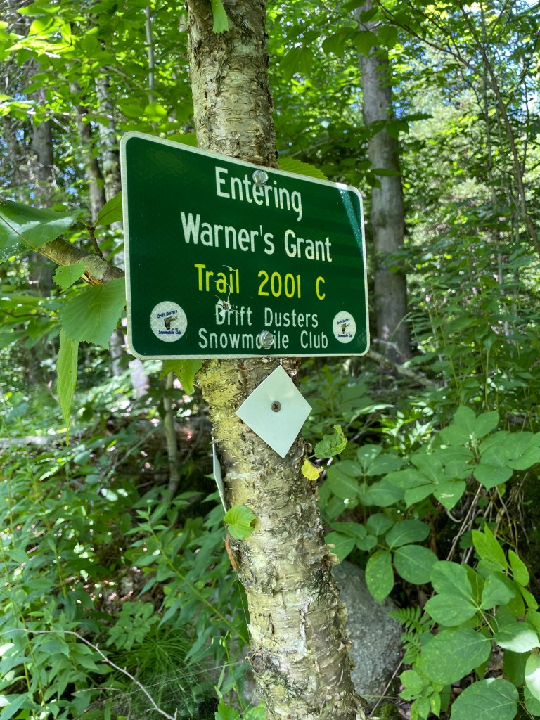
Made it! (Not shown: the horrendously tall grass) 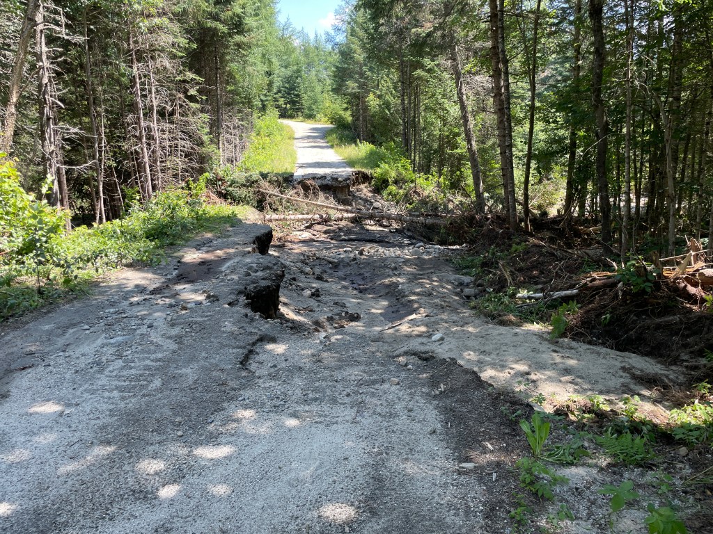
Time to turn around 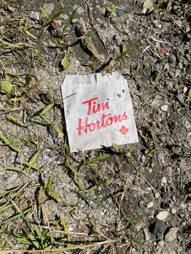
Perhaps a hash brown? 
End of the line 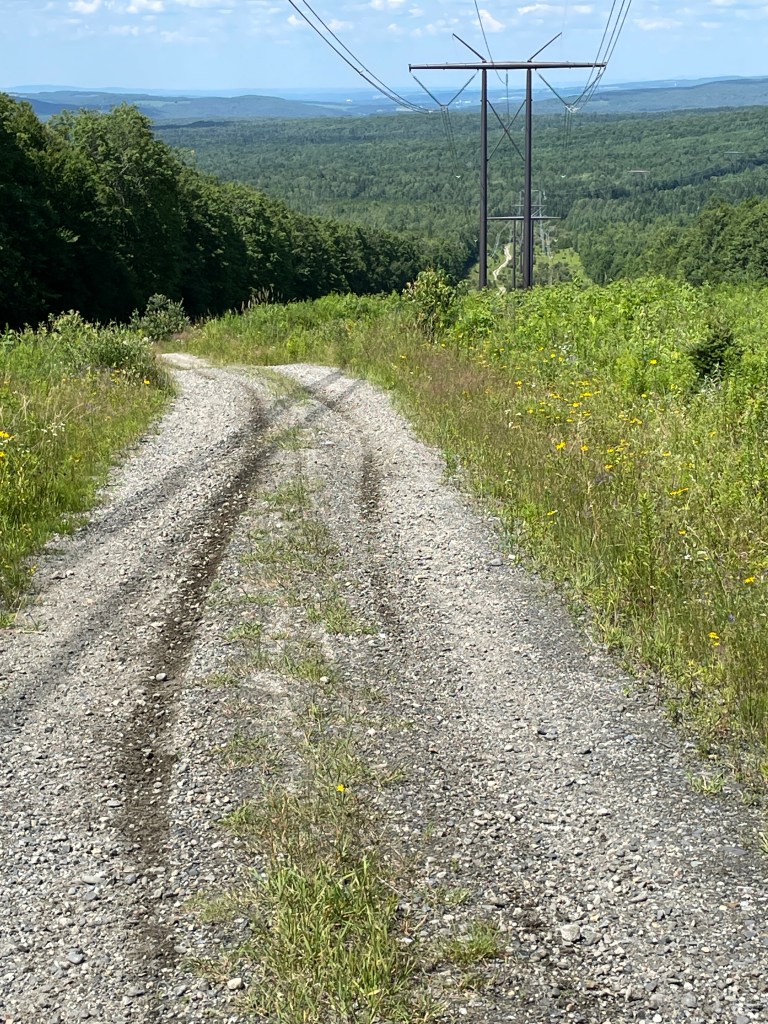
Buzzing down! 
In Vermont, you can apparently have billboards if they’re in the middle of nowhere 
Less than a mile from the border as the crow flies
I continued onto some pleasant dirt roads having crossed into Averill, yet another unincorporated town. As such, they have no local governance and are instead managed by a three person Board of Governors which is elected collectively by the residents of the unincorporated towns and gores of Essex County. They in turn appoint a Supervisor who essentially performs all the duties of elected officials in all the municipalities. It can lead to some interesting elections and if you really want to get into the weeds of it, here’s the state statute. A bit of dirt road monotony was broken up by seeing a runner in the distance. I’d barely seen cars let along someone else using their bodies to move, so this piqued my interest. Getting closer, I saw he was bearded and wore a pack, like he’s a long-distance runner (even rarer). As I got closer still I thought, “That looks like Andy”. And, as it turn out it WAS Andy, a neighbor and colleague on the Mobbs Committee in Jericho! He was on vacation and was ticking off a few towns for HIS project of RUNNING once in every town. I couldn’t believe it and neither could he: I actually had to say “Andy, it’s SAM!”. We chatted a bit and just couldn’t believe the odds!
I continued taking on the ups and downs of this area. I entered Canaan, the extreme northeast corner of the state. I didn’t get into the village, let alone Beecher Falls, its micro-panhandle, but it was satisfying to know I had checked off that corner. Only once did I need to hike-a-bike, and soon I was closing in on another section of the route I wasn’t so sure of. There are some VAST trails on land that privately owned, but I’d hoped it wouldn’t be posted, so I could skirt around the west side of Monadnock Mountain. I made a steep climb on Todd Hill Road, only to be met with a posted gate on my intended route. Dejected, I decided to turn around and take the long paved route around the mountain, but most frustratingly, once I returned home I saw on a map that there was another potential entrance on someone else’s property, just a few hundred yards from where I’d made my u-turn! I may never get back there, but if you’re considering riding this, try going just a bit further and you may be able to connect through to Sims Hill Road on unposted tracks.
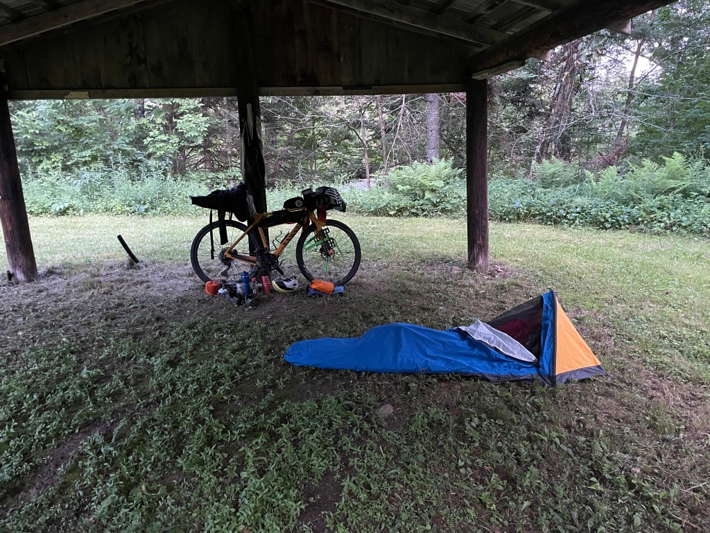
Having to detour was a bit frustrating, but I at least got a screaming downhill out of the deal. In no time at all, I was down on the banks of the Connecticut River and following its sinuous curves on VT 102. The light was getting lower, but it was a nice change of pace to just get into a groove and pedal hard for my campsite. I planned to stay at Lyman Falls State Park, an unstaffed, free park that mainly caters to paddlers. Having done the detour, I forgot there was actually another riverside campsite further north where I could have stopped about 10 miles sooner. But I made it with plenty of light to spare and was able to set up under an empty picnic pavilion and enjoy dinner. Unfortunately, the river was going at way too fast a clip to make swimming safe, but I was able to relax on its banks. I looked across to observe a couple of families who had driven their trucks onto the rocky shore on the New Hampshire side where they were enjoying a picnic. Having biked my way to an almost identical spot, I chuckled a bit about how this scene illustrated the cultural difference between our two states.


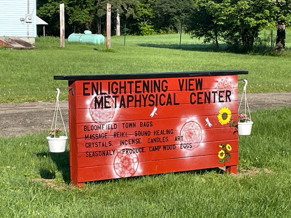
I awoke the next morning to valley fog and a very autumnal vibe. I was happy to have the pavilion over me to keep the heavy dew off and I took my time knowing I had about half the miles to ride today compared to yesterday. After an oatmeal breakfast, the sun began to burn through and I took the trail to the south gate (the only “dirt” I’d ride in Bloomfield…sorry Bloomfield) and rejoined Route 102. The road wasn’t too busy for a Monday morning and it was a nice way to warm up the legs. I saw the Enlightening View Metaphysical Center (one of the few businesses I passed this day), but decided I was feeling “well” enough, and pushed on. I soon came to the junction of 105 and 102 AKA downtown Bloomfield. Though slightly overshadowed by North Stratford NH and its micro-commercial district, there is a store on the Vermont side of the river. Debanville’s General Store & Cafe keeps the strangest hours (11-6:30 Wed-Fri and 9-6:30 Sat) and was consequently closed. I crossed the Nulhegan River where it empties into the Connecticut. Interestingly, I passed the headwaters of the North Branch of the Nulhegan at Unknown Pond!
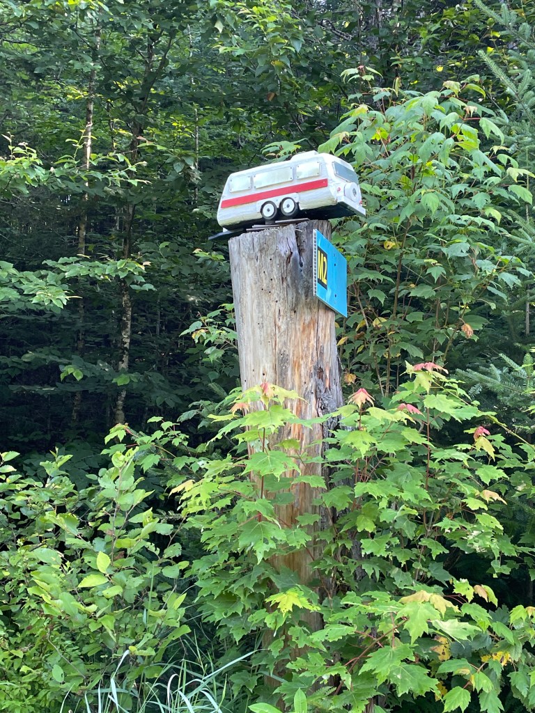
I worked my way south into the town of Brunswick, making a right onto the Maidstone Lake Access Road, used mainly to get folks to Maidstone State Park. From here I had a steady climb for the next 13 or so miles. Nothing steep, just steady. To start, I was entertained by small rustic wooden snowmen and tiny models of camping-related things like an RV. About halfway to the park, I turned right onto Paul Stream Road and it got really scenic. The road narrowed slightly, though the surface stayed nice. It was clear not many vehicles come through this way and it was one of my favorite roads of the whole project so far! Paul Stream is a stocked trout stream that alternates between sections that rush and leap over rocks and boulders and others that wind placidly. I’ll definitely want to come back and ride it again. Along this stretch, the only people I saw were a worker in a Vermont Fish and Wildlife Department truck and another cyclist coming the other way on a gravel bike. Camps popped up periodically throughout and it was though it wasn’t as remote as the parts of East Haven and Granby that I’ve been through, it was beautifully peaceful and isolated.


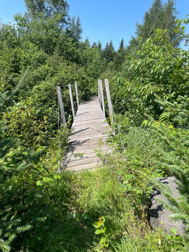
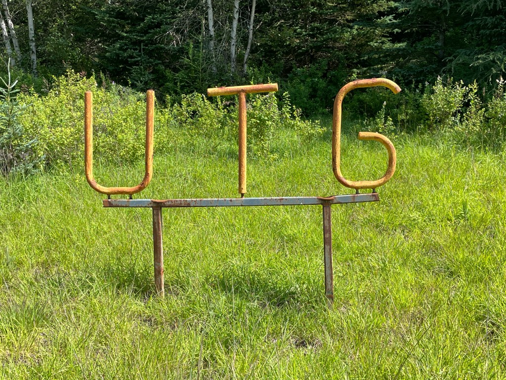
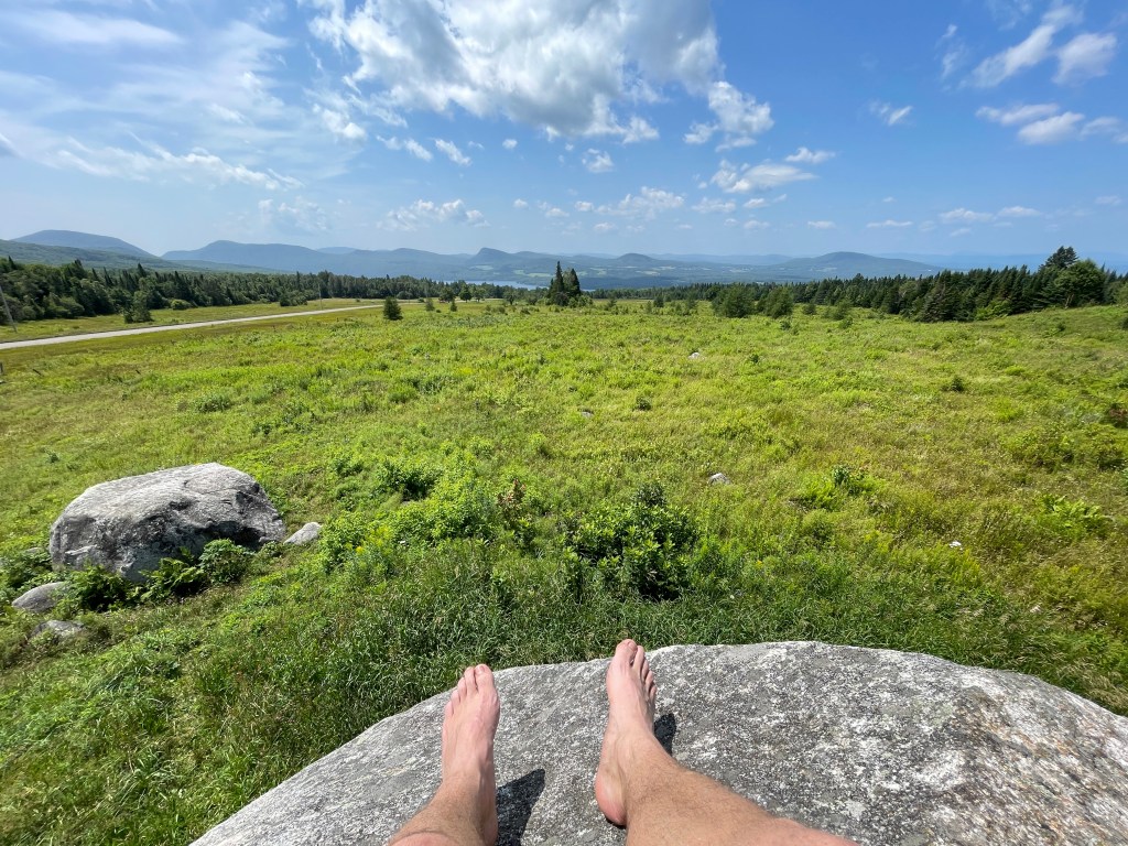
By this point I had crossed into my last unorganized town of the trip: Ferdinand. They actually recently changed the name of the entity that manages them from “Unorganized Towns & Gores of Essex County” to “Unified Towns & Gores of Essex County”. I guess “unorganized” didn’t send the right message. I mean, they have created a fairly impressive development plan. Plus they still got to keep “UTG”. After climbing steadily, I switched to South America Pond Road. I would have loved to know where the pond got its name (that type of stuff is what these posts are built on). But sadly, I couldn’t find anything on its history. I did get a fun ride down along the road though, entering into a low-lying area surrounding Moose Bog. The area is popular for wildlife viewing and while there’s a main road, I chose the lesser-used alternative that spit me across a very crooked pedestrian bridge. I was met with a ¼ mile bushwhack to get out to Route 105. I’d certainly recommend the other way you prefer to not getting well acquainted with thorns and nettles.
Across 105 lies Lewis Pond Road. According to the Strava heatmap, folks have ridden it, but not many. So this was my last gamble of the trip and sadly, it didn’t pan out. The road was gated and plastered with VERY insistent signs to not trespass. I had an alternative which was a potential reroute of the Vermont Super 8 route, but I stupidly didn’t download the file onto my phone, so I wasn’t sure which road it was. I really, really wanted to get up to Four Mile Road and into the Silvio Conte Fish and Wildlife Refuge, but unfortunately, I didn’t know the precise way and I’d already been met with so many dead ends, I didn’t feel like gambling. I especially wanted to get up there because almost 20 years ago, I went to a bog in that area with my NR1 class when I was at UVM. It was quite the undertaking as this was a huge lecture with multiple large lab sections. But for a week they piled each us group by group into a coach bus and we made the more than 4 hour round trip up there to see the bogs and boreal forest. I knew it was special at the time, but I didn’t fully appreciate what an undertaking it was logistically.
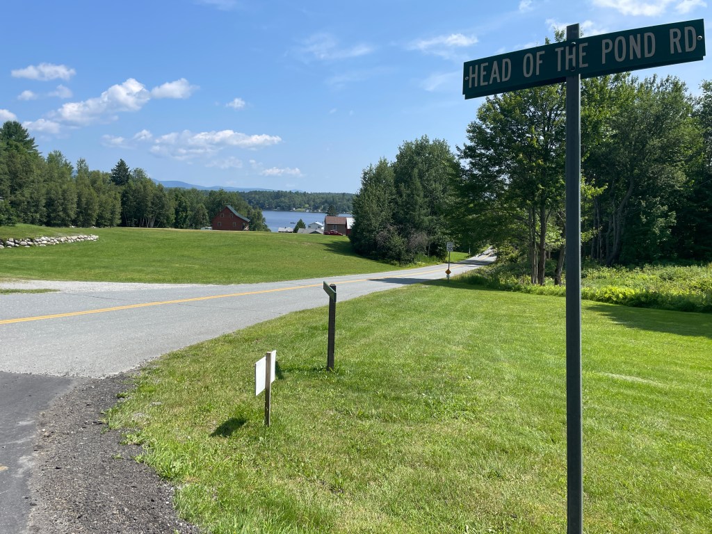
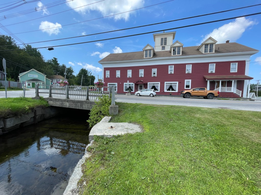
Frustrated and a bit heartbroken, I made the choice to take Head of the Pond Road back into Island Pond. It did mean an alternative to speedy Route 105 and more dirt, but I’ll certainly need to get up to Four Mile Road soon. The road slowly improved, got more settled and soon I was passing the entrance to Brighton State Park, which sits on Spectacle Pond, on the east side of Island Pond. Almost back to the car, I made one more pitstop to check out the Essex House and Tavern, a large hotel (formerly known as “The Zoo”) that was built across the Clyde River as it runs out of Island Pond. In fact the Northern Forest Canoe Trail runs UNDER the building! From there it was just a few more hundred yards to the car. I was happy to be done and though disappointed thoughts still seeped into my brain as I packed up, I was so happy to be back on my 251 quest. On the way home I stopped at Sentinel Rock State Park as well as took a dip in the north end of Lake Willoughby (not the skinny dipping end). It was fun passing through so many areas I’ve already ridden as I headed home. I have only a small handful of towns left and while it may be a challenge, I’m hoping to finish this year. We’ll see about that, but I’m so happy to be moving forward!

The Details:
https://www.strava.com/activities/9513237291

Sam, I just think it’s so cool that you started this project, let alone that you are finishing it! Your determination and energy are super impressive. I always love reading your updates. XO
LikeLike