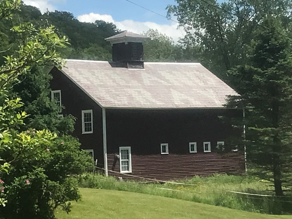
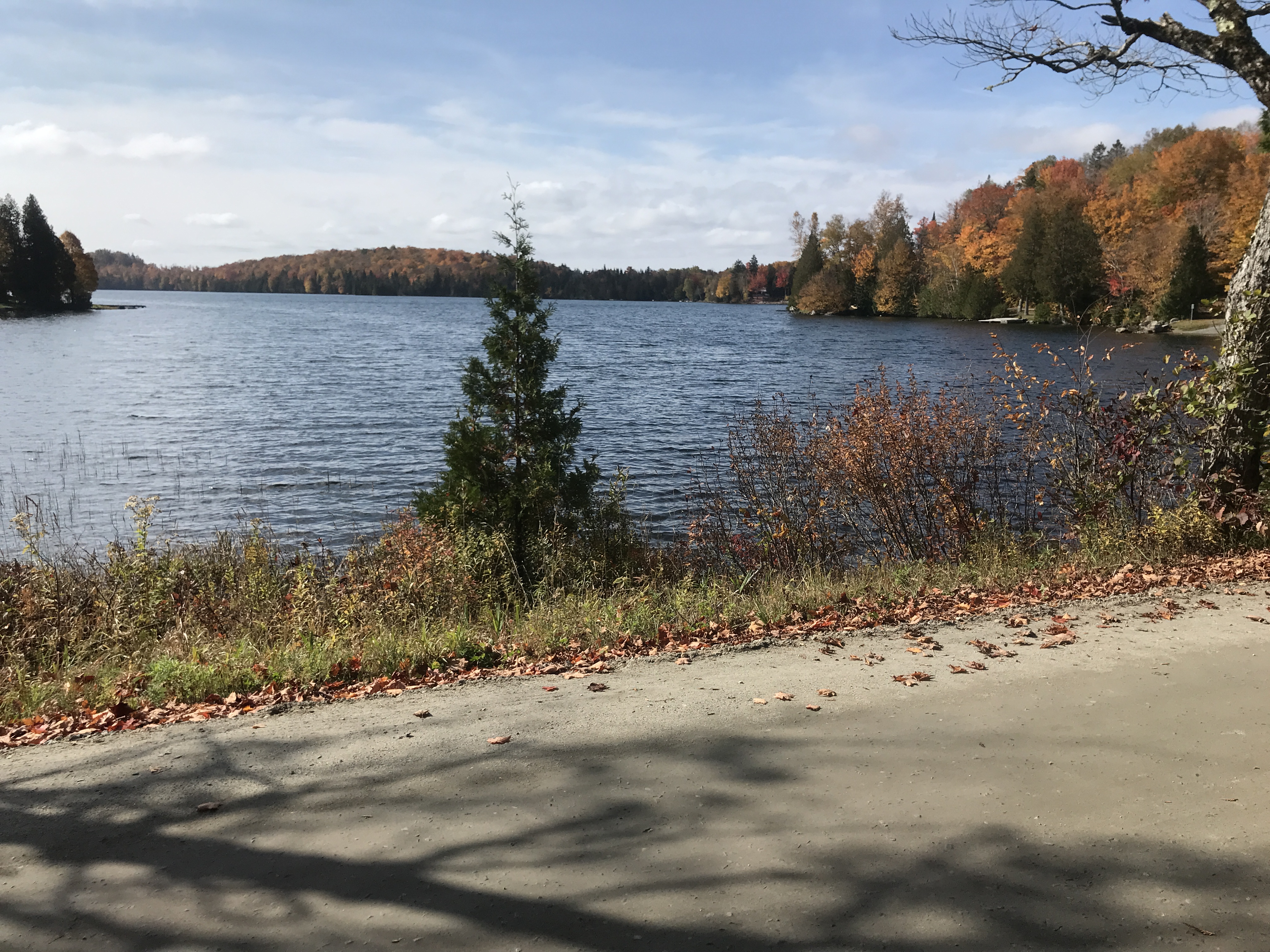
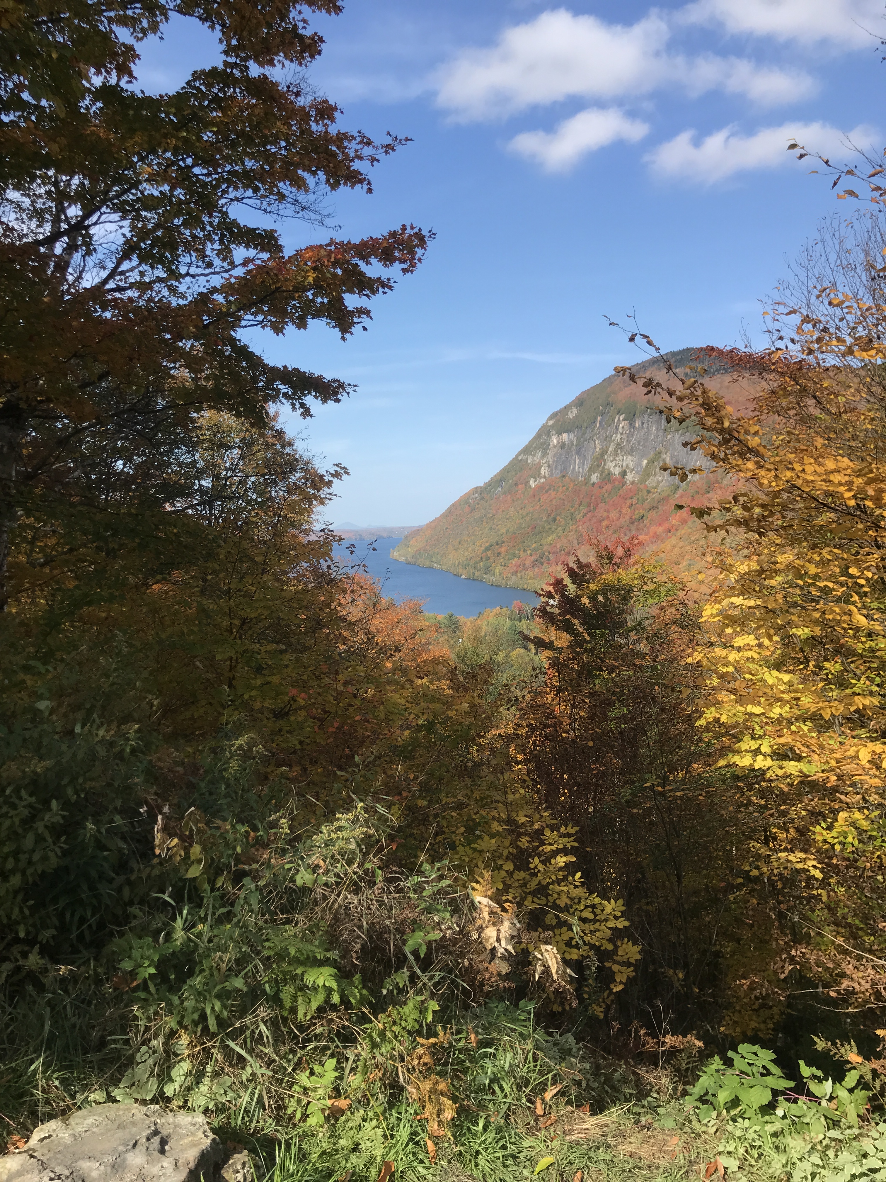
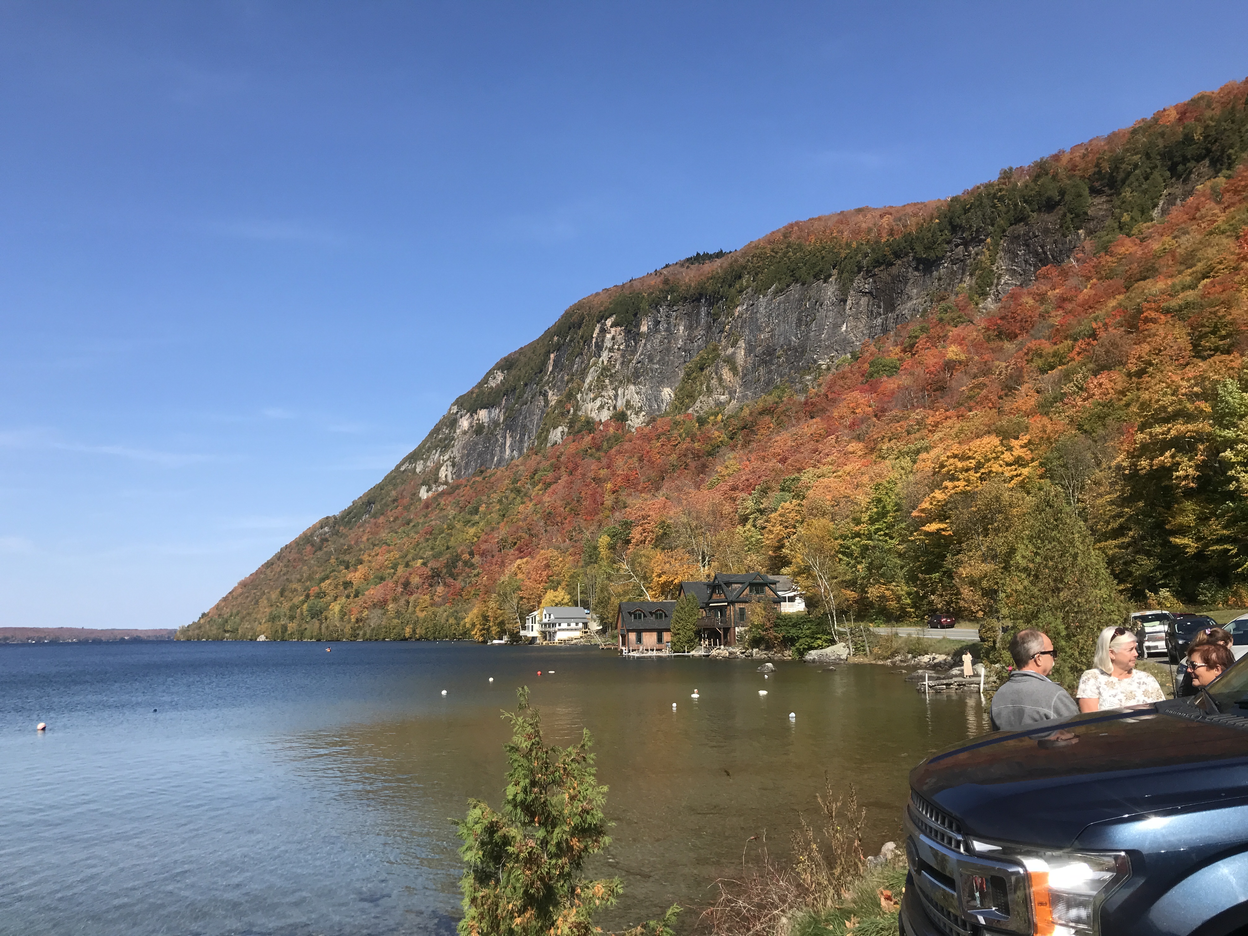
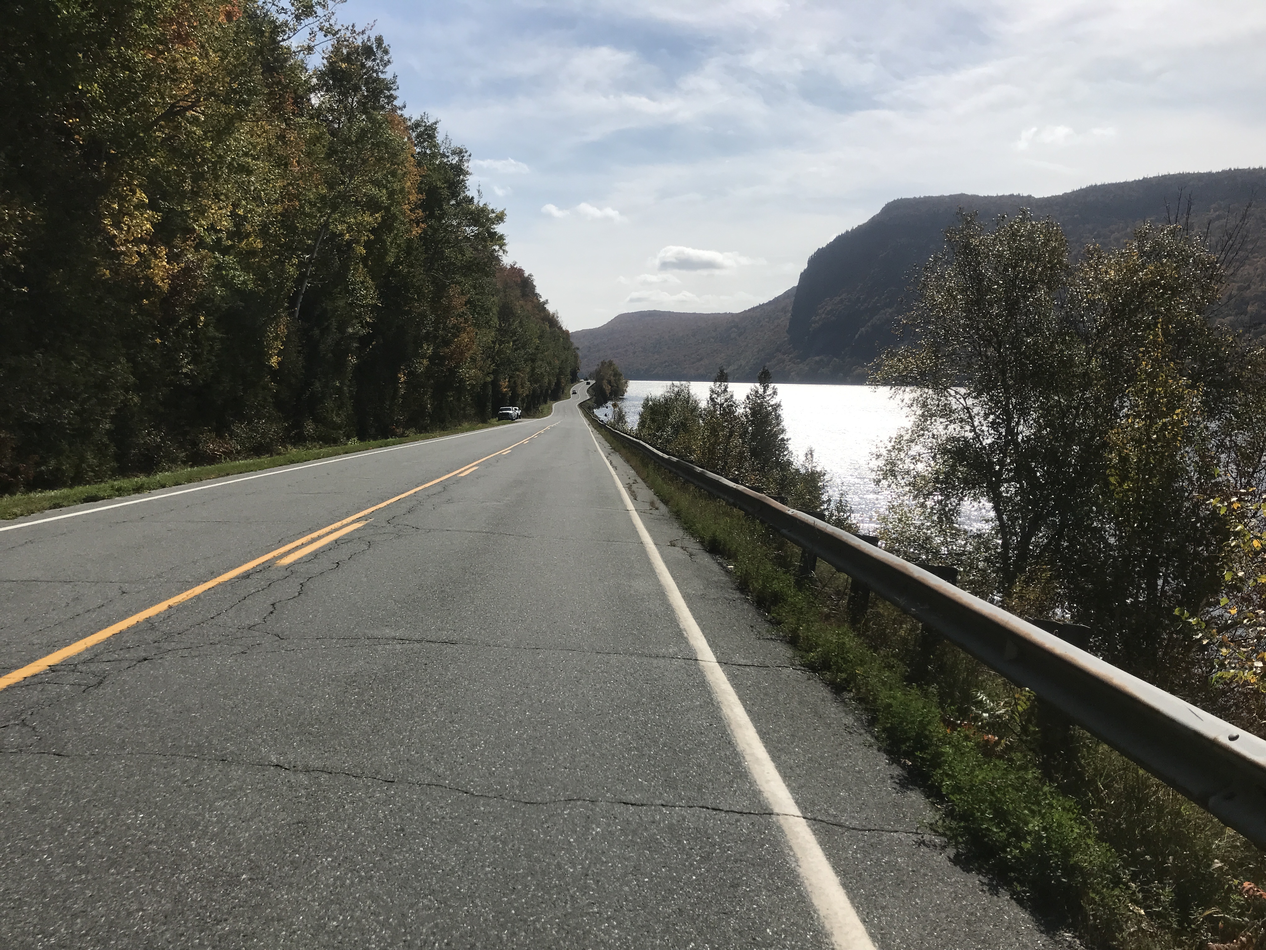
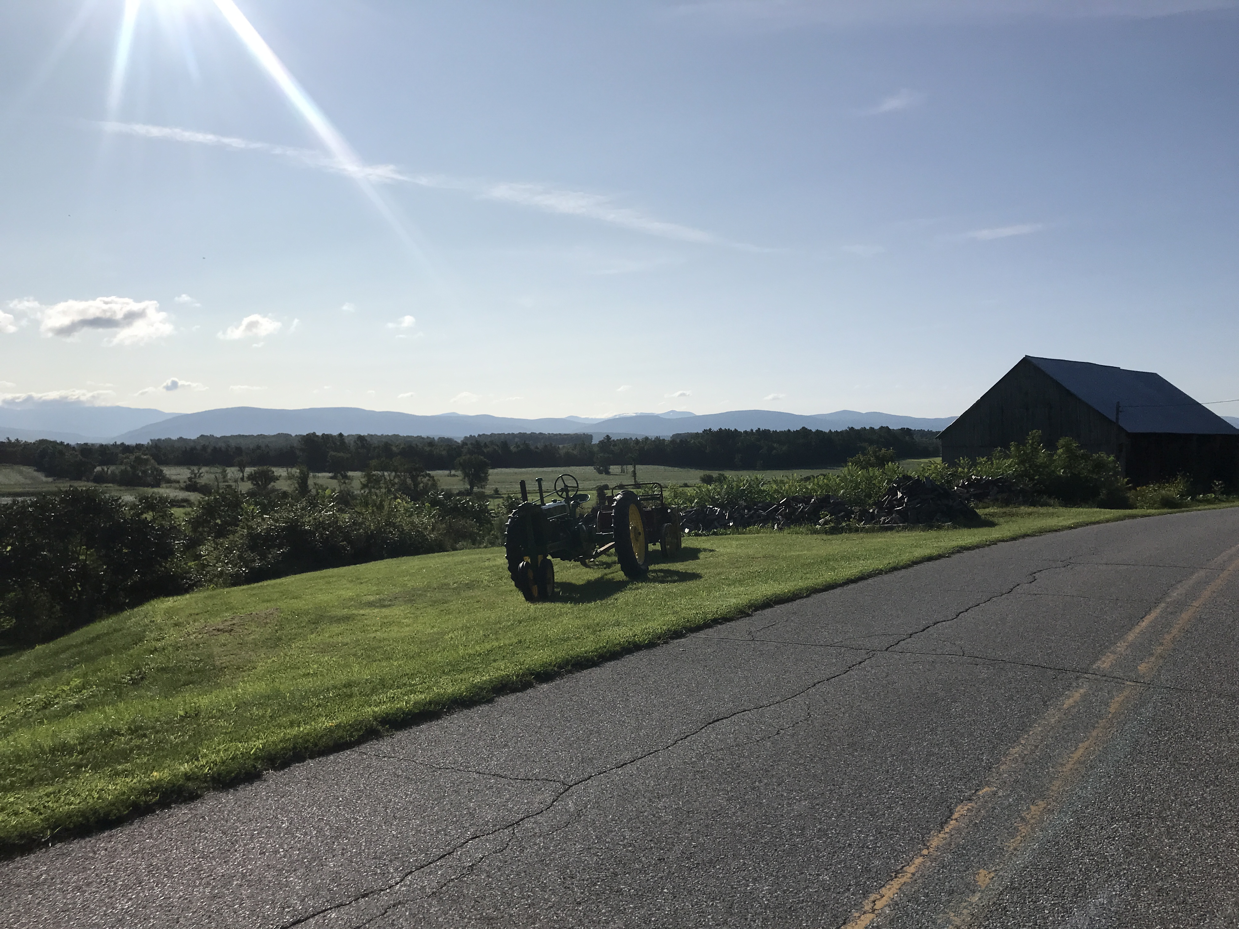
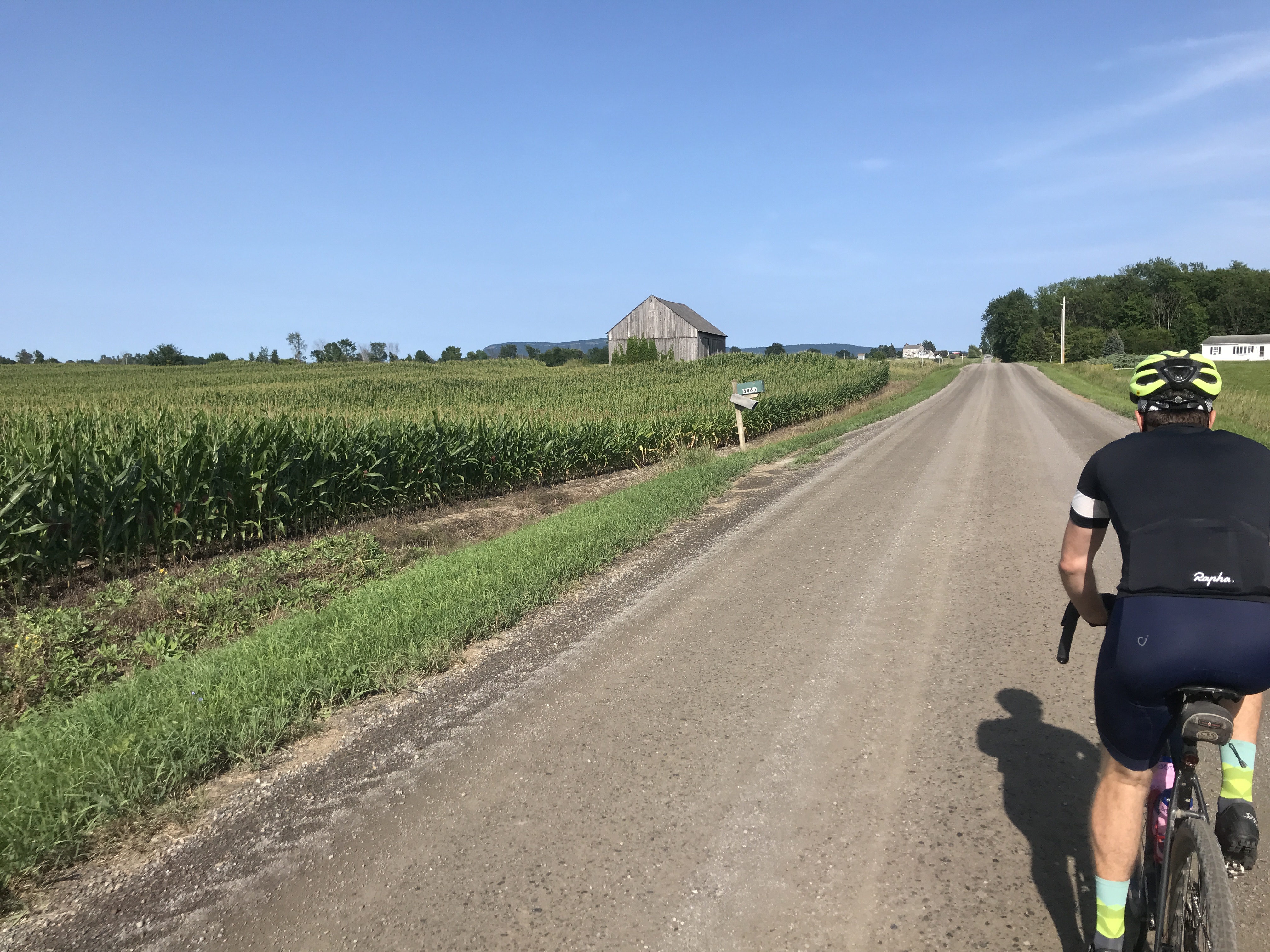
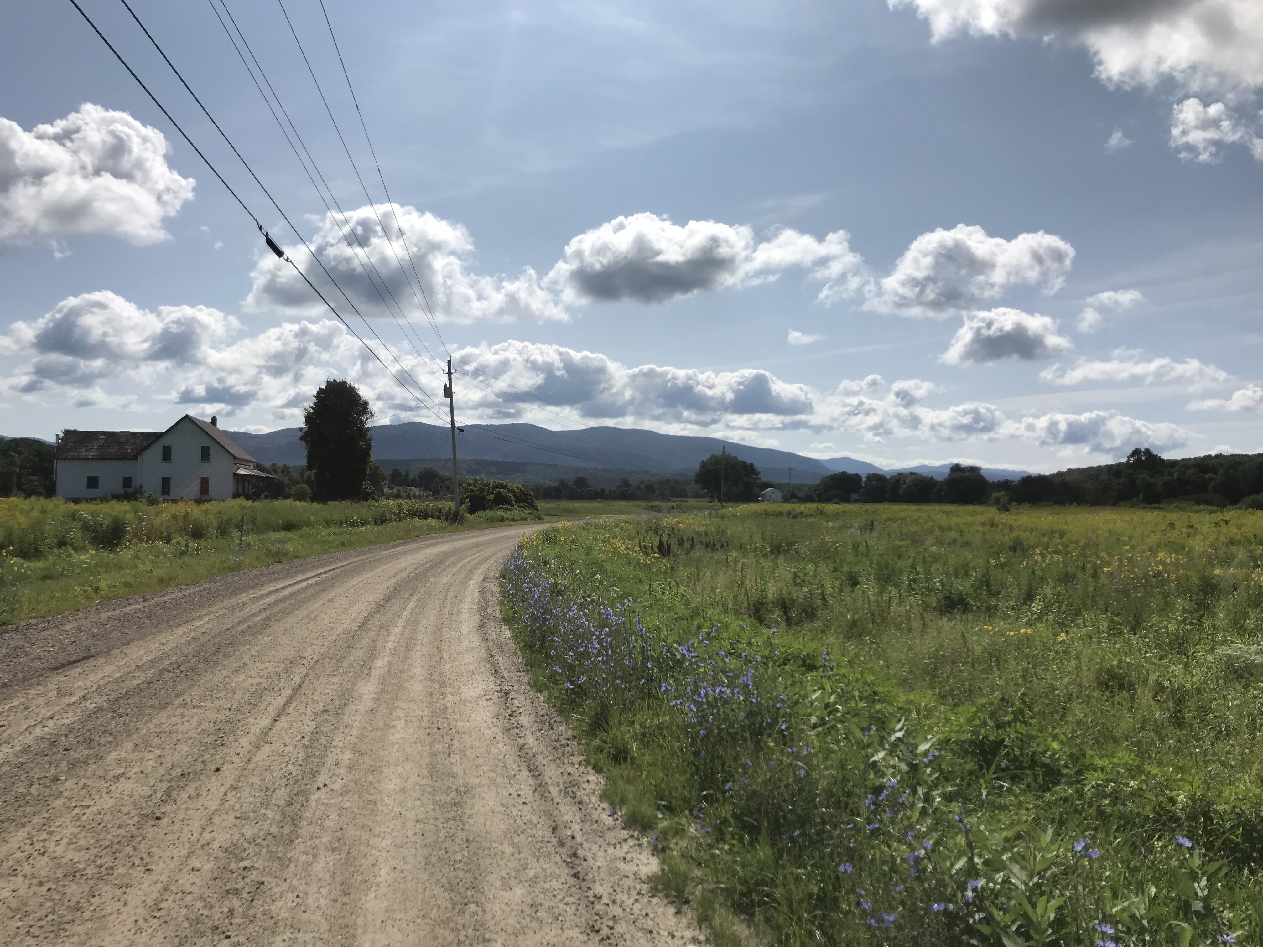
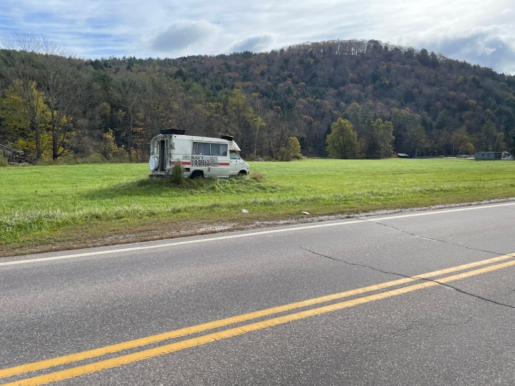
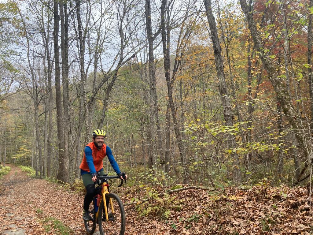
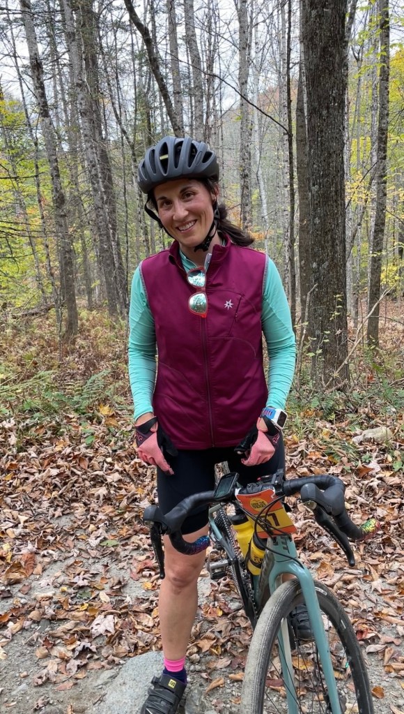
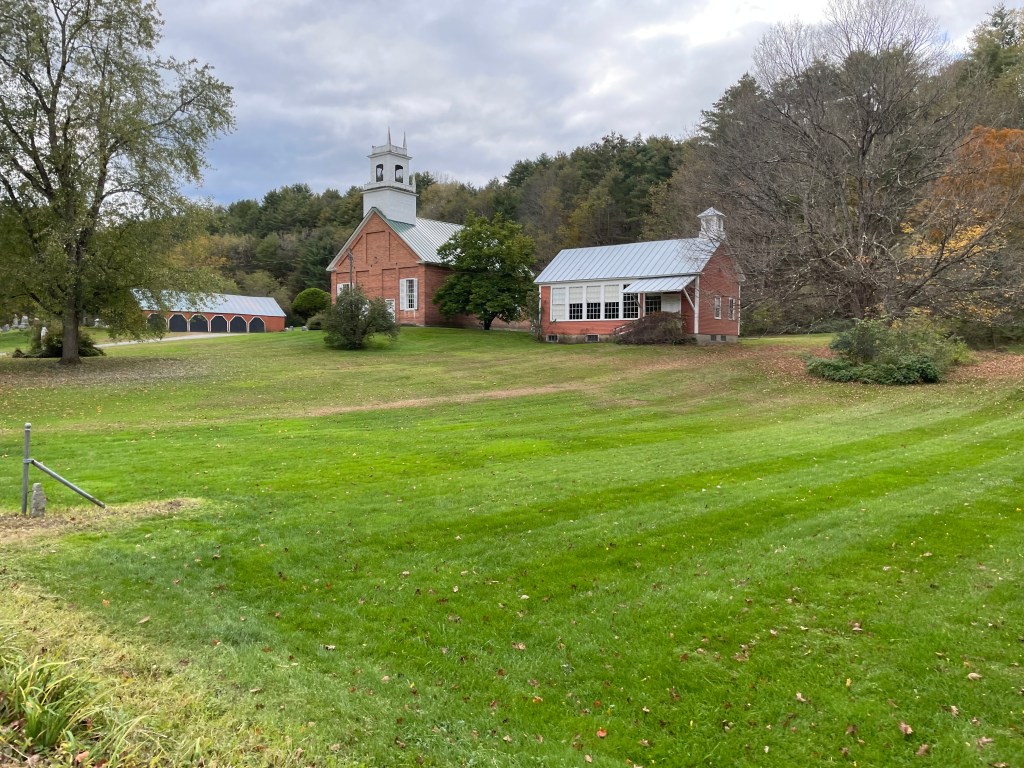
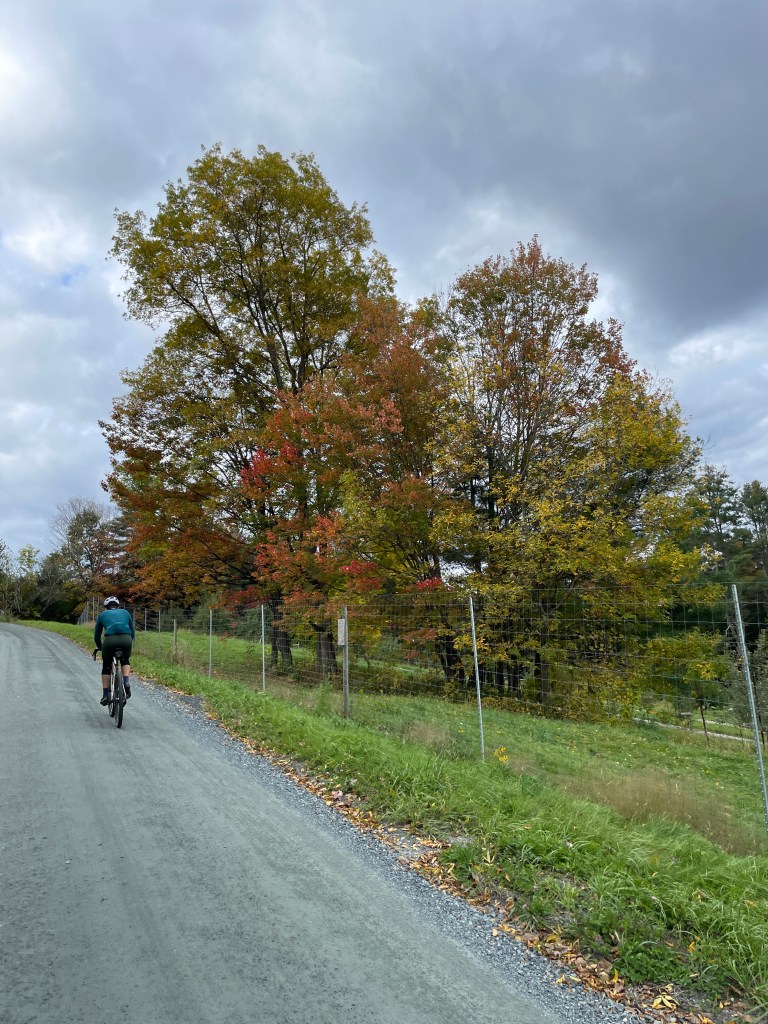
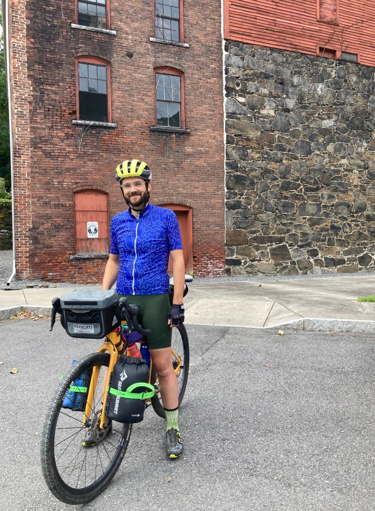
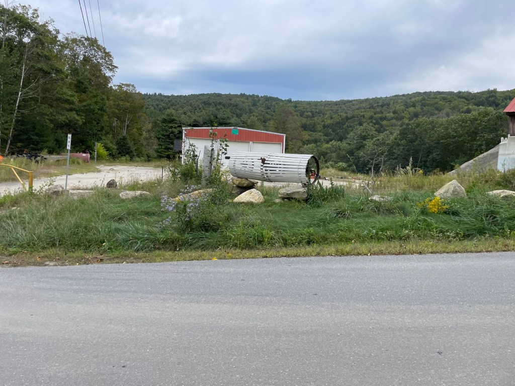
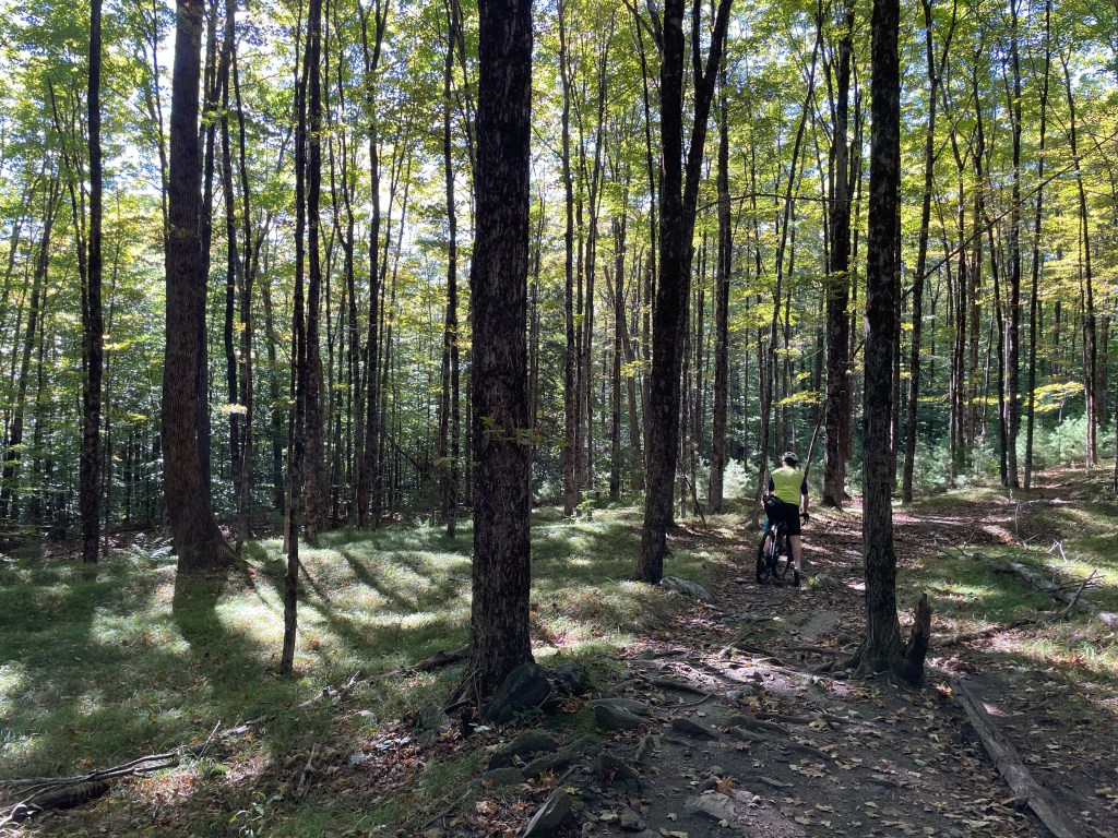
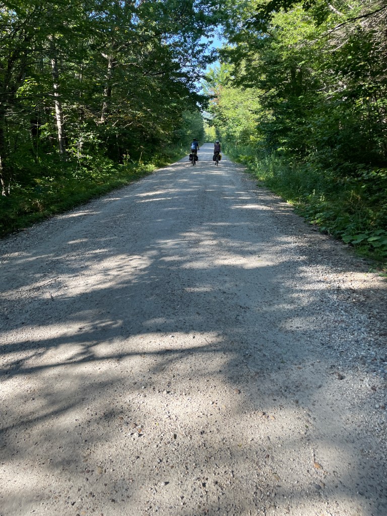
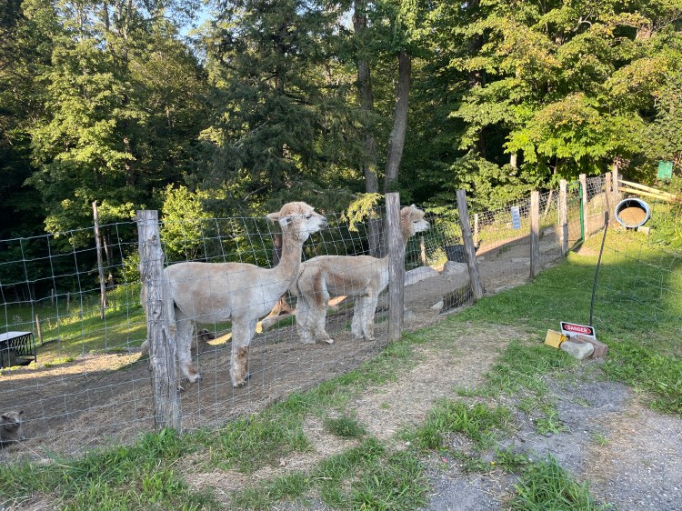
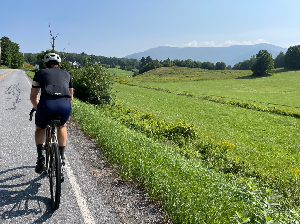
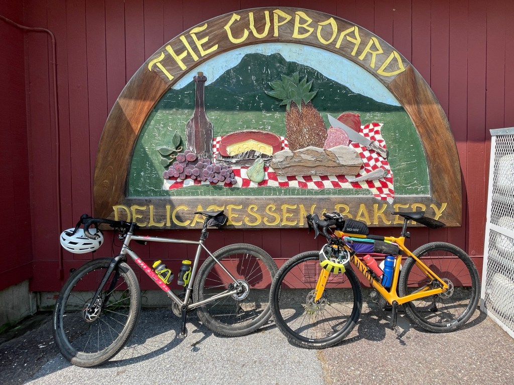
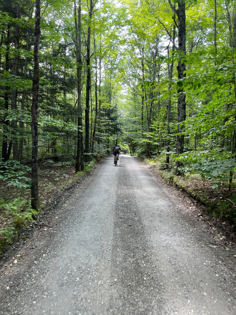
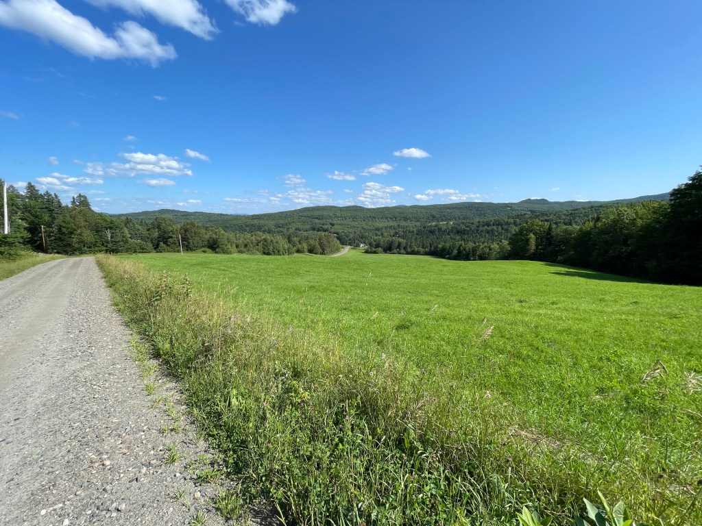
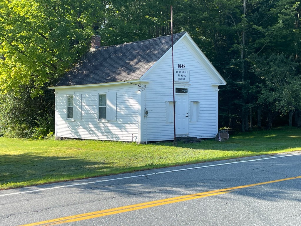
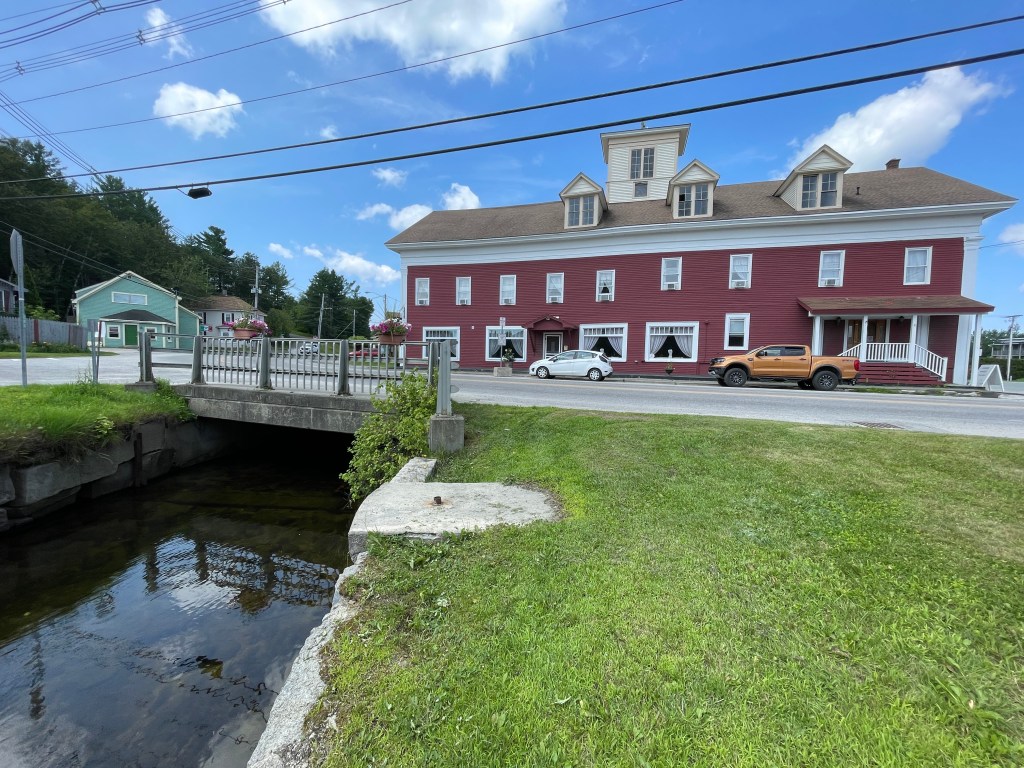
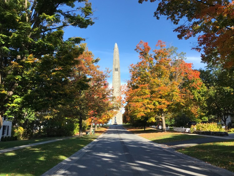
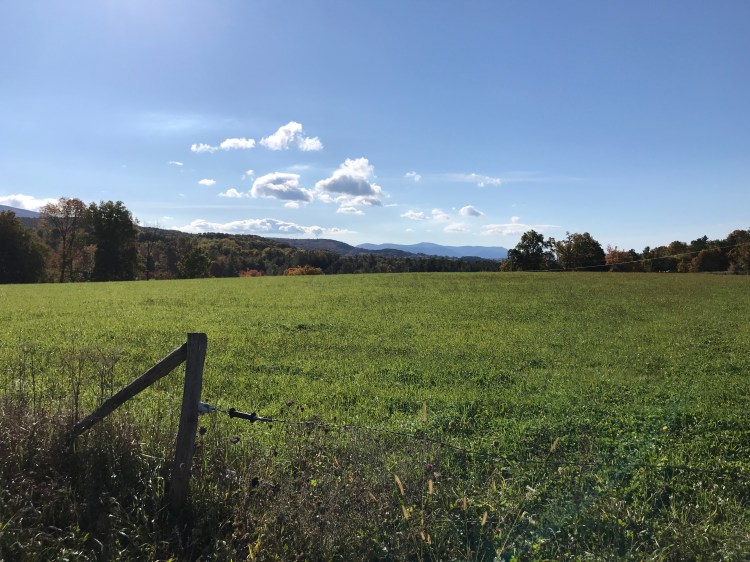
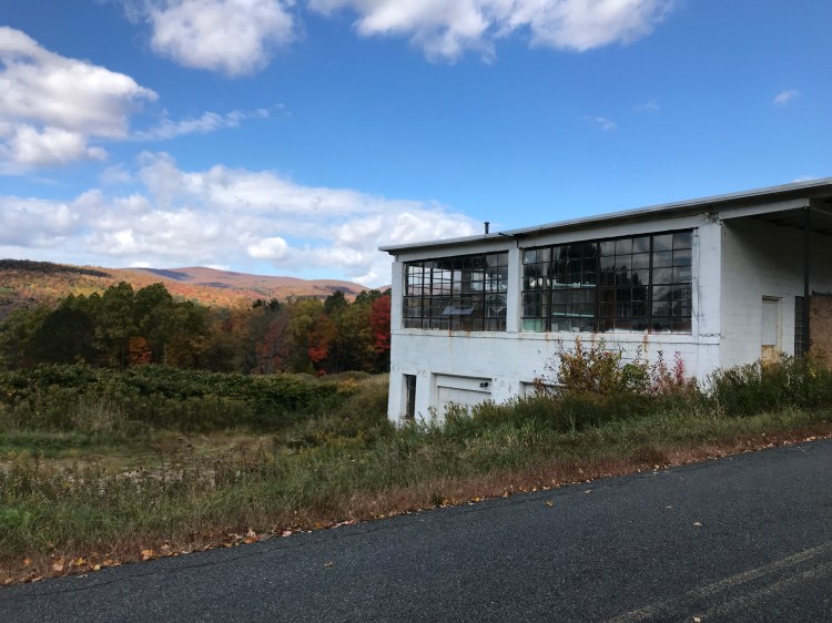
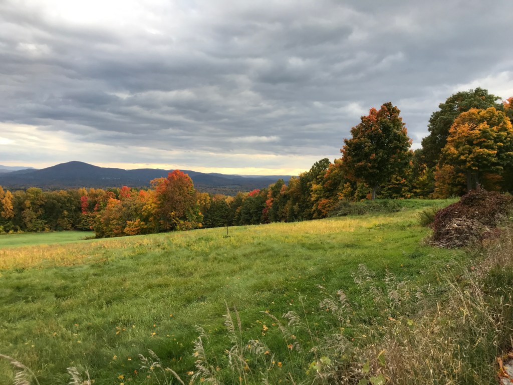
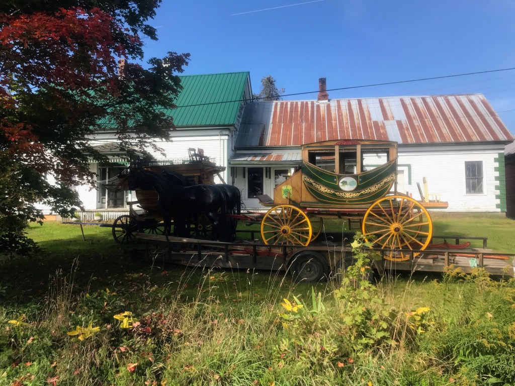
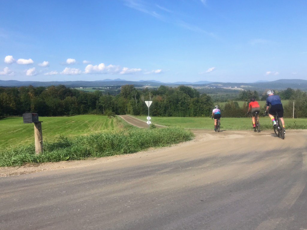
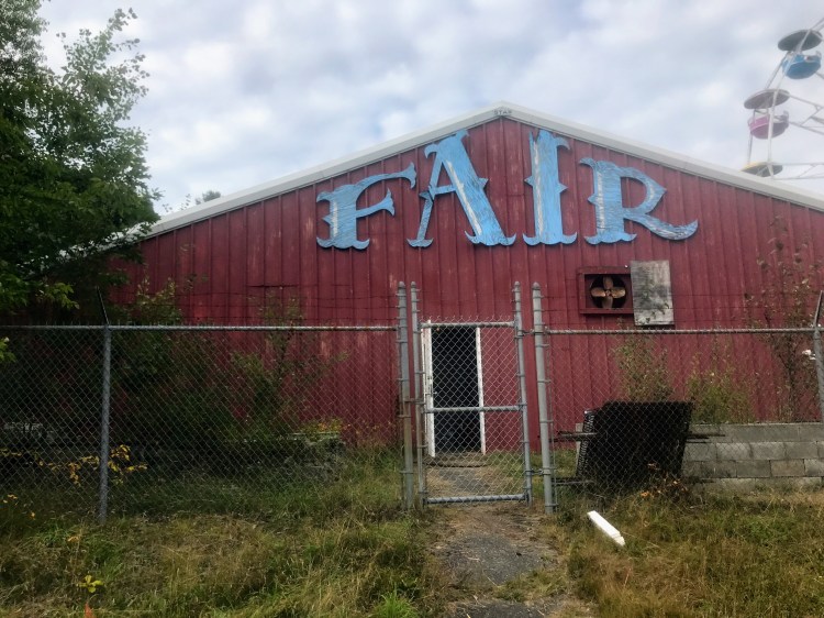
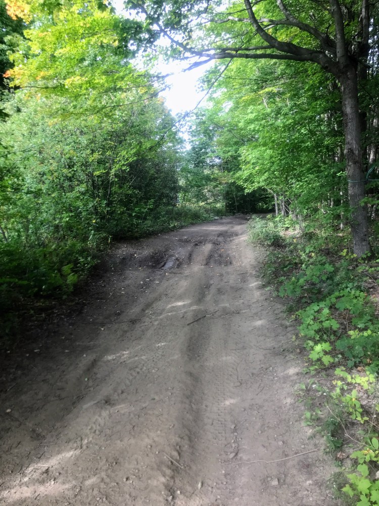
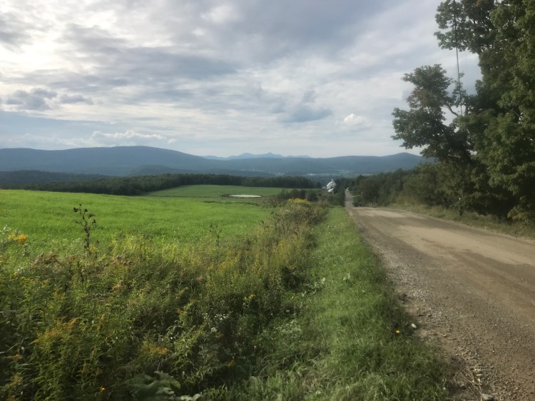
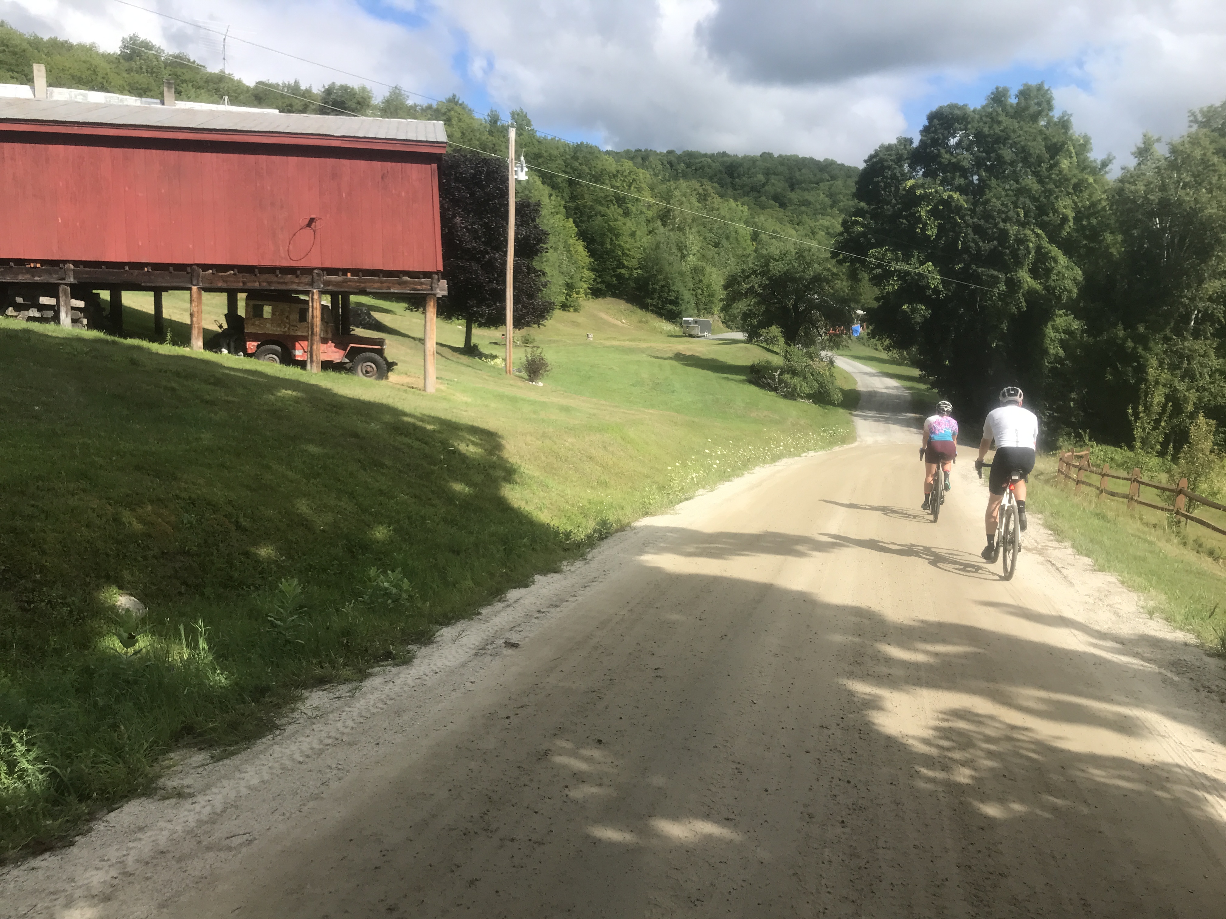
Since the end of the Dirt 251 project, it’s been a great year of riding. I had some majorly great rides, if not truly MAJOR rides. They included:
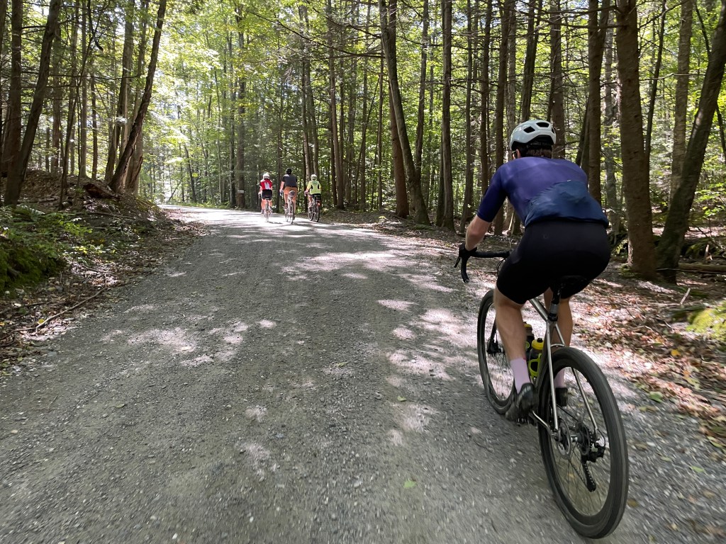
- A two–day intro to bikepacking weekend with Vermont Bikebackers (of which I’m a boardmember)
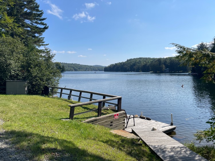
- Weekend at Wheeler Pond with Maddie which I rode to.
- An overnighter from Montpelier to Eden and back with some good buddies.
- Some beautiful dirt north of the border.
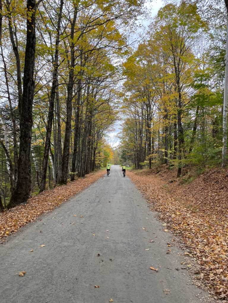
- Lovely shorter rides with friends and family.
- And of course a fantastic season closer with Brad.
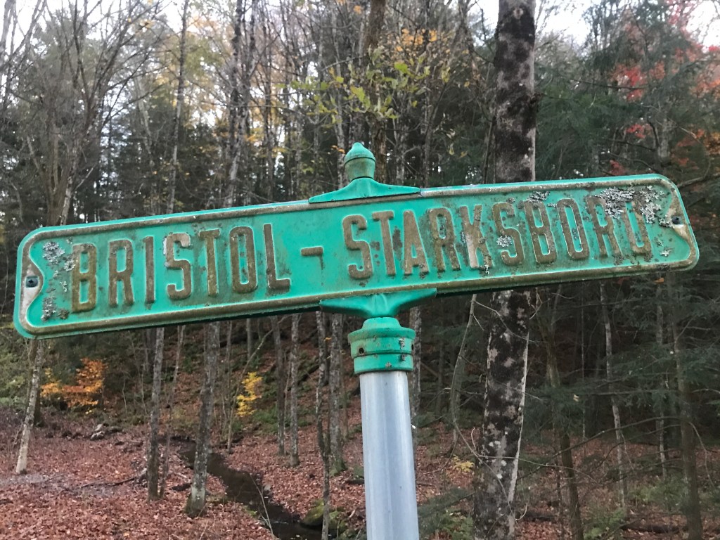
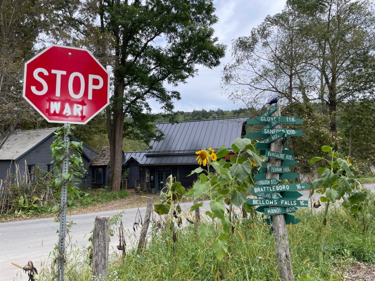
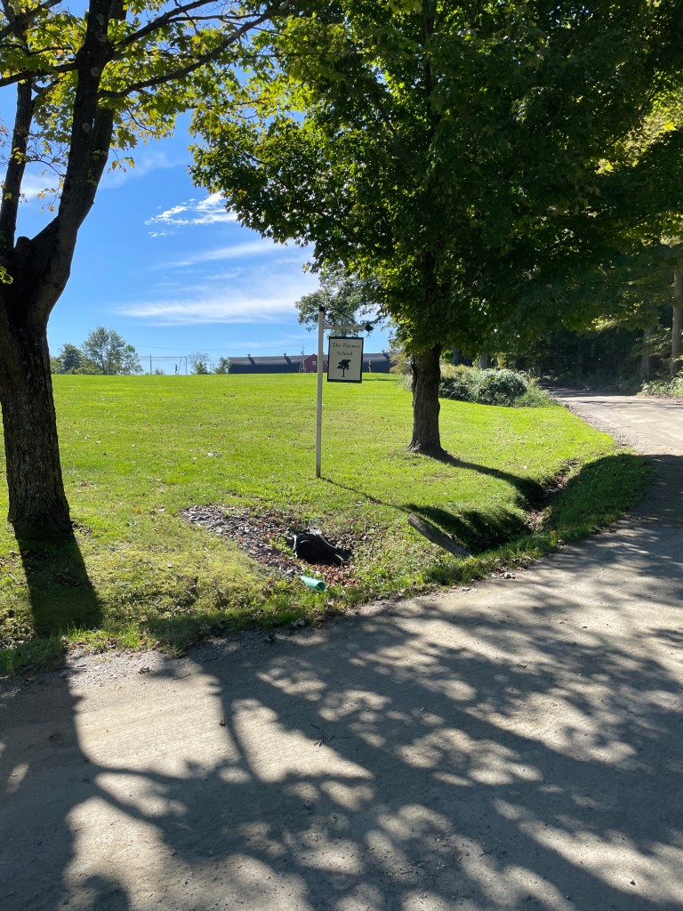
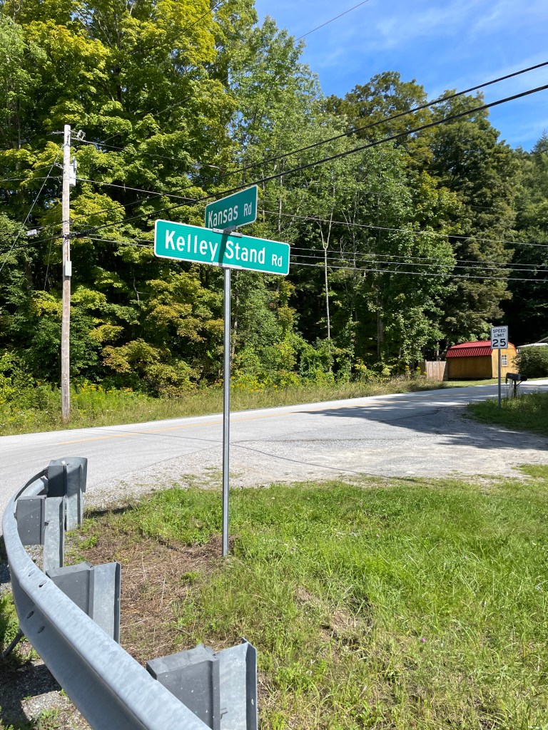
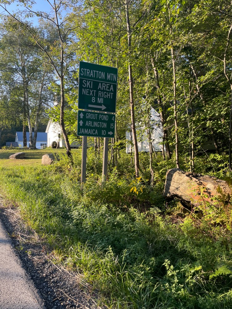
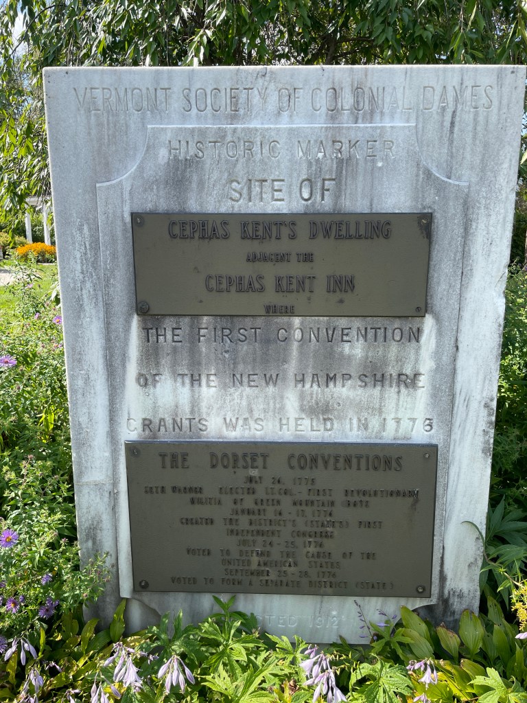
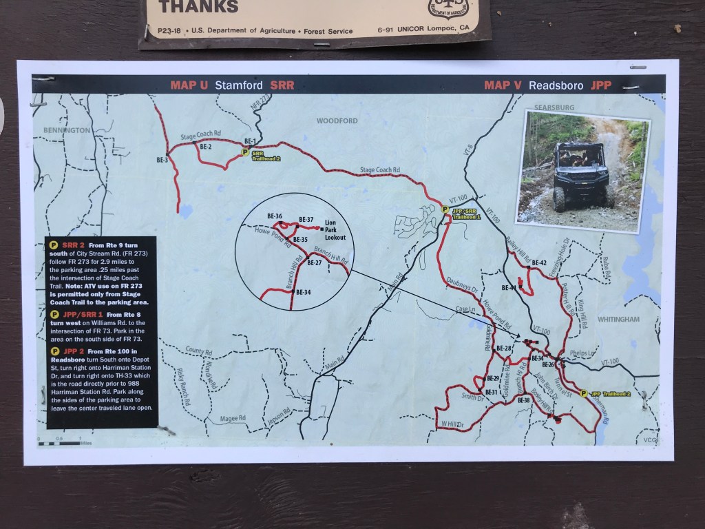
Over the winter my route planning really kicked up. I absolutely love the scheming aspect of biking and with no Dirt 251 project to fret and fuss over, I needed something to fill in the gap. One thing that really grabbed my attention was thinking about an extension of the VTXL Route. It ends right with the border of Massachusetts less than an hour north of where I grew up. So I thought, why not make a route across Berkshire County? So I did. (Just to note, I’ve ridden parts of that route, but it’s not been fully checked.) When I got to the Connecticut border, I thought, “Why stop there?” so I continued down across the state, shooting for Stonington in the southeast corner and thus the “CTXL” was born.
All winter I tweaked and messed with the route. Eventually, emailed it to Joe Cruz who created the VTXL route and Ronnie Romance, who’s a bit of a cycling legend: ride leader, bike gear/tire company owner, and a huge fan of both bicycles and Connecticut, plus he’s a pretty solid route builder. I was pleasantly surprised to hear back from Ron and he not only expressed enthusiasm for my endeavor, but he offered me his barn to stay in when I came through! So even though I began this CTXL project it was more of a thought experiment, I just had to follow up and ride it. So I picked a date, made sure my lovely mom could shuttle me and kept my fingers crossed for good weather.
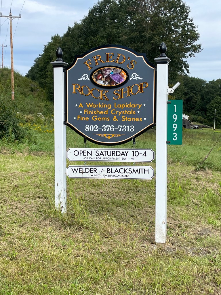
SIDE NOTE: I’m planning to document the CTXL and other adventures here in a manner which mirrors my Dirt 251 style. It may be a bit much for anyone who’s trying to actually follow the route, but I’ll sprinkle riding tips throughout and if you actually want tips/advice/beta/etc. on riding them, reach out and I’ll happily share any of that with you.
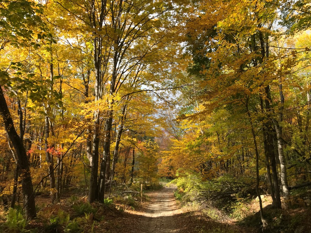
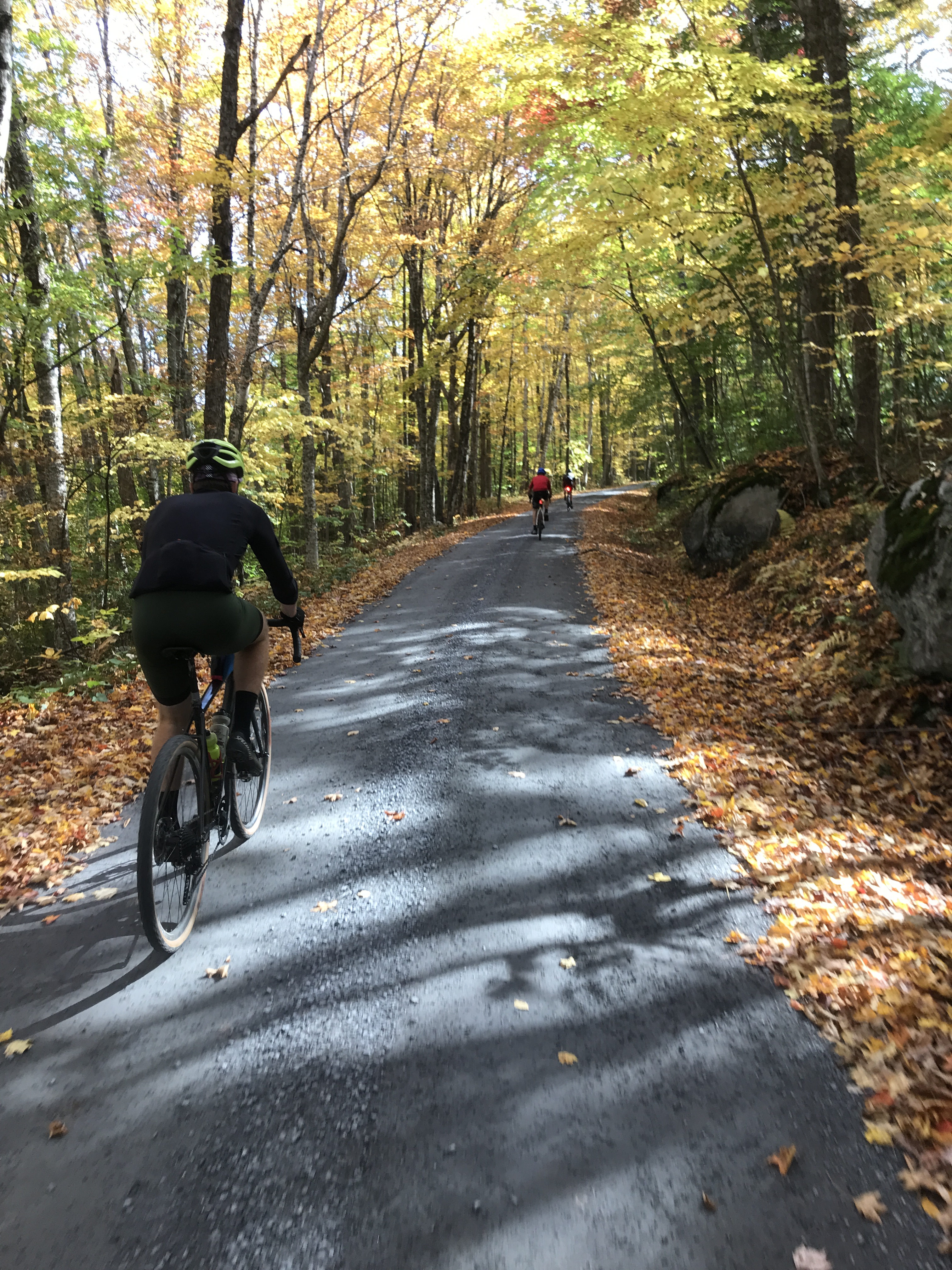
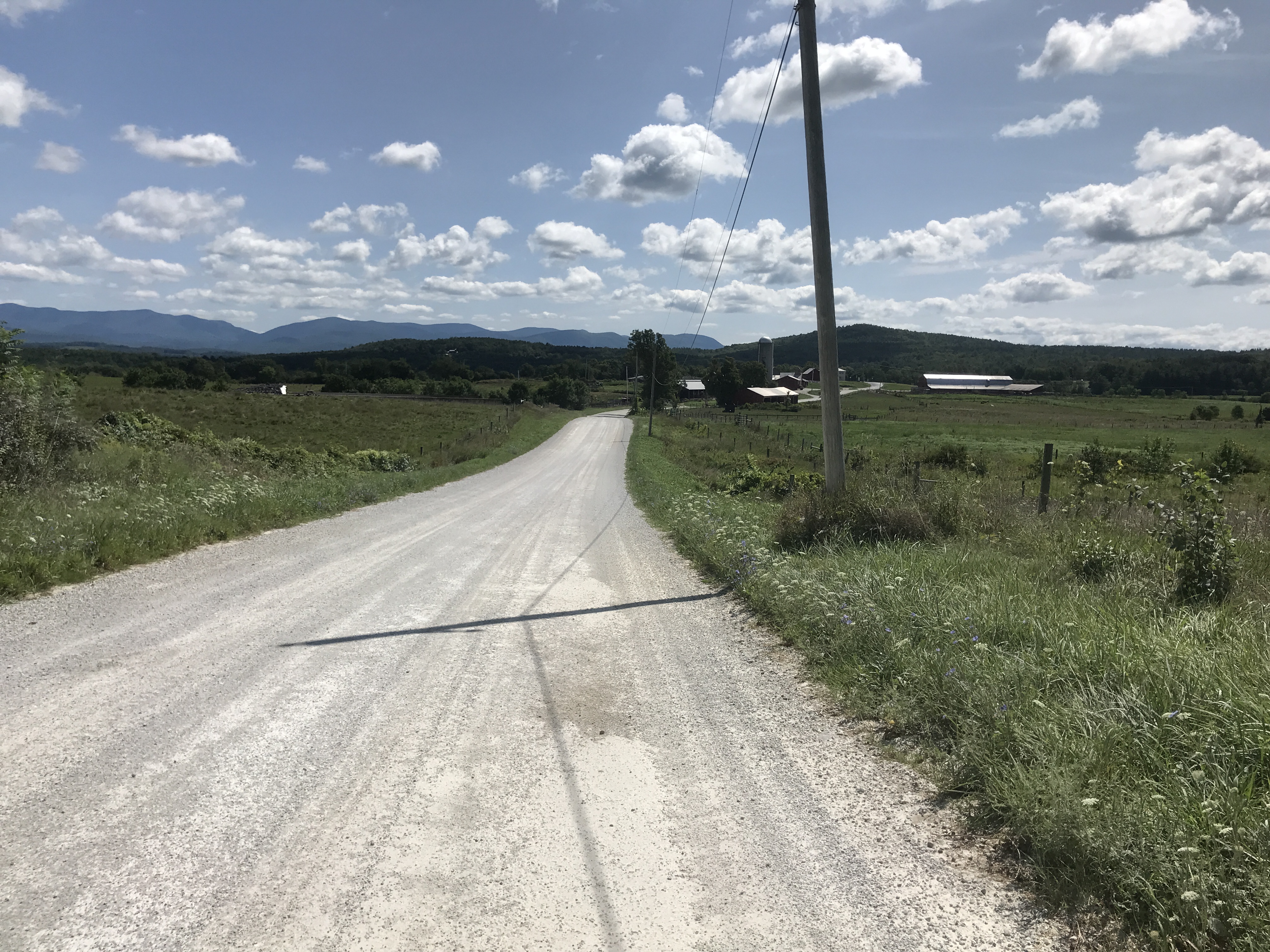
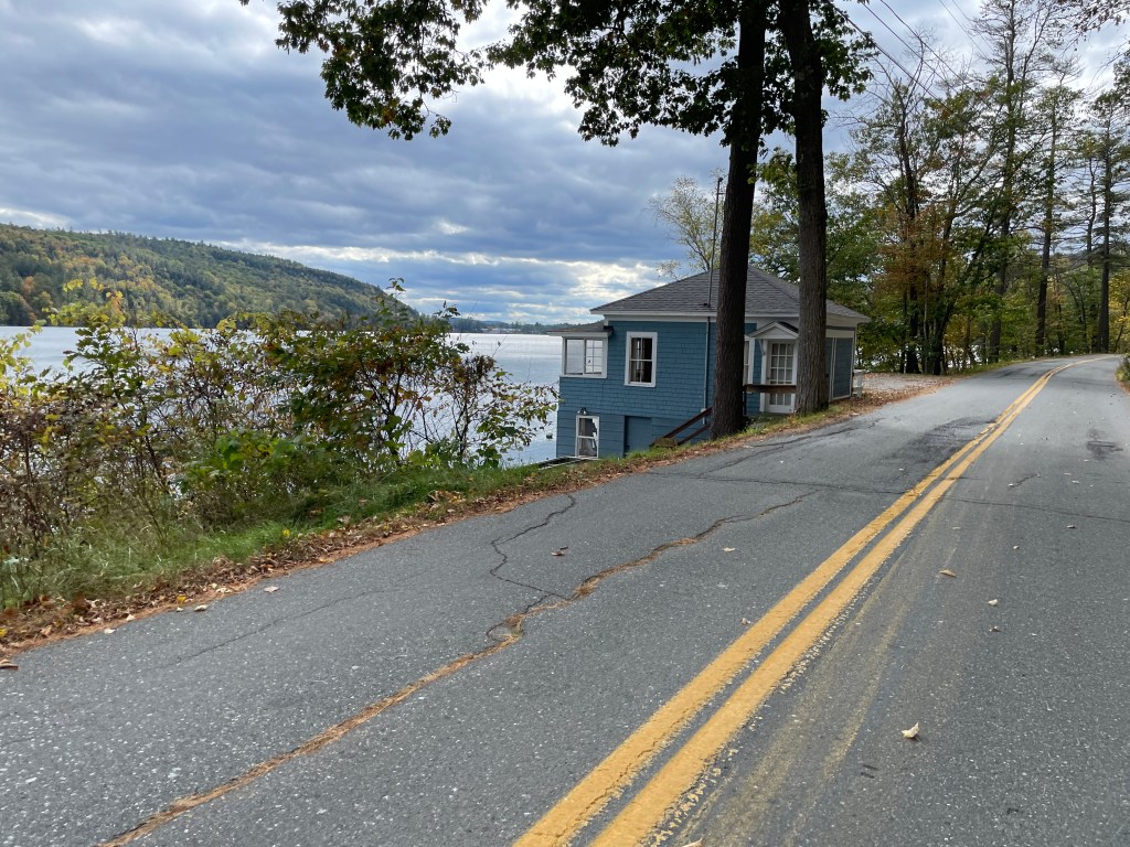
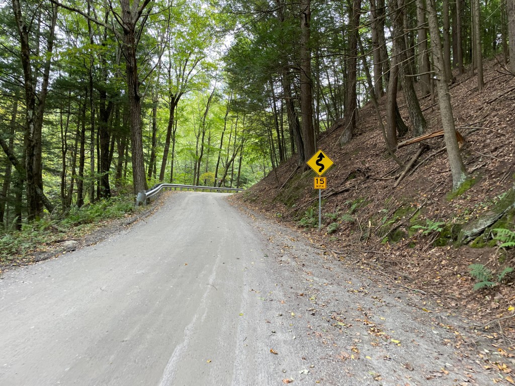
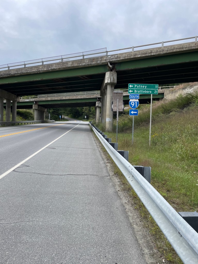
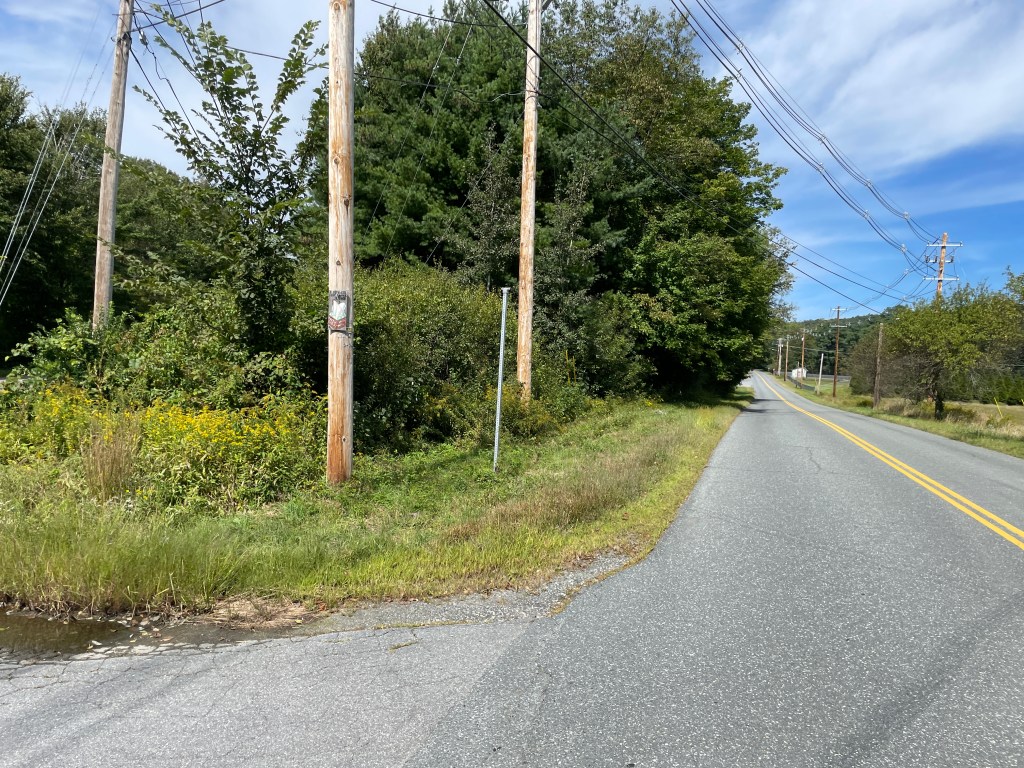
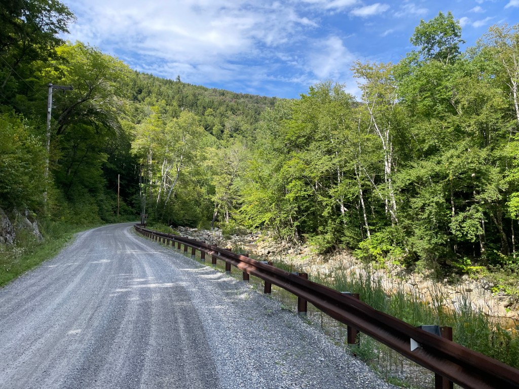
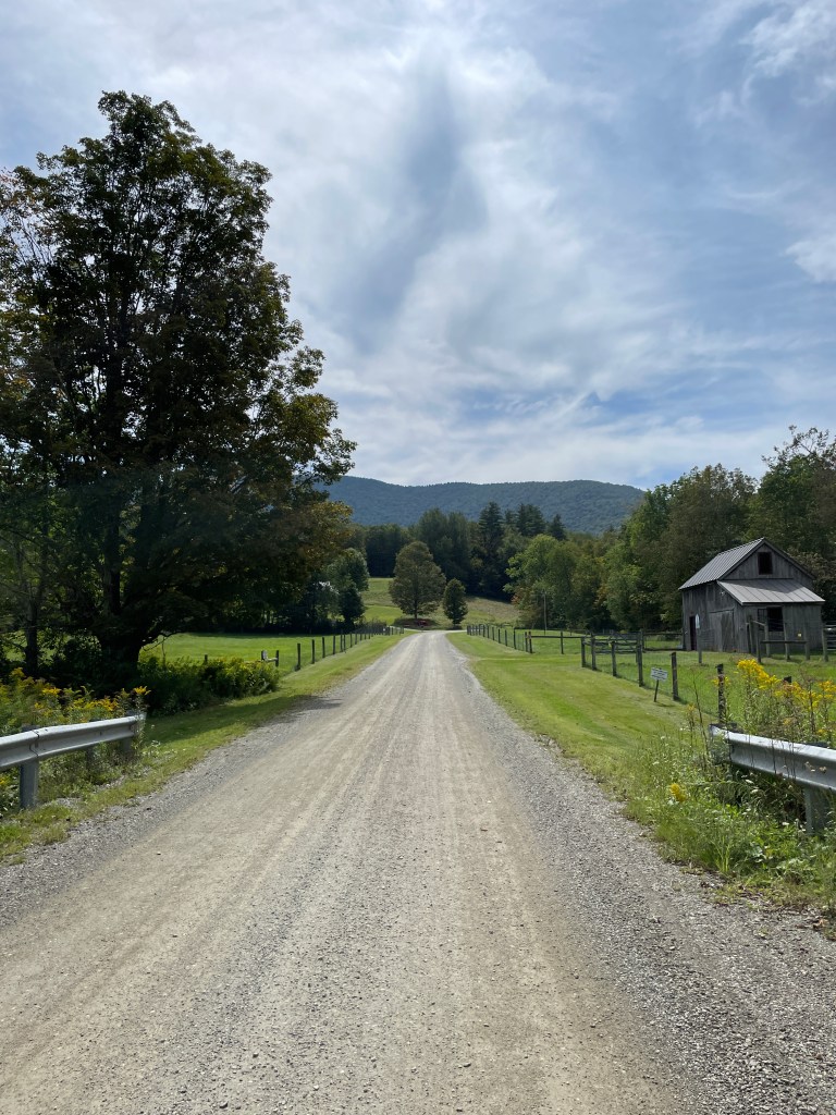
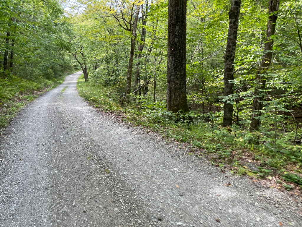
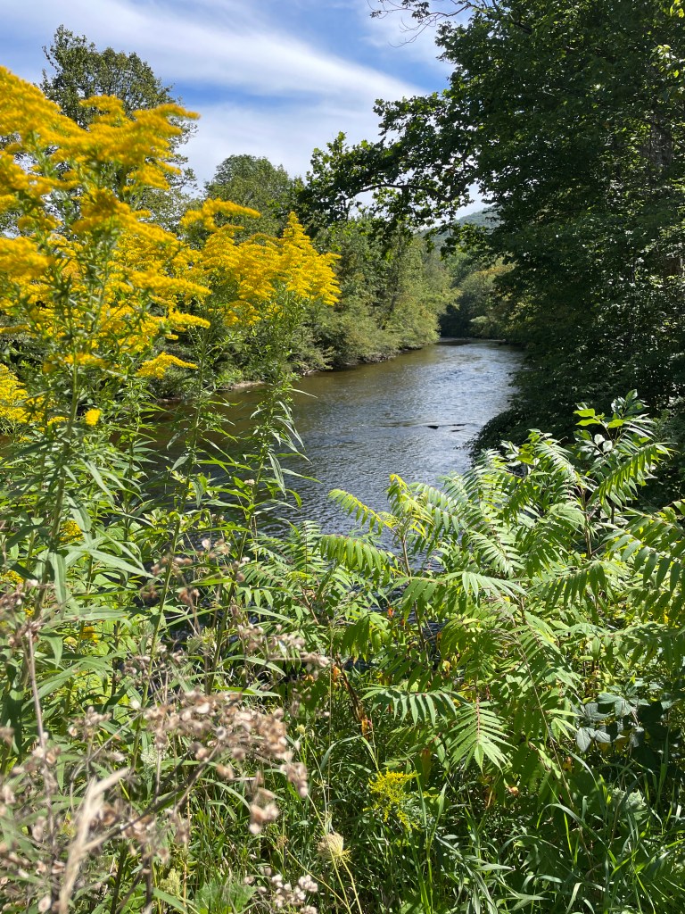
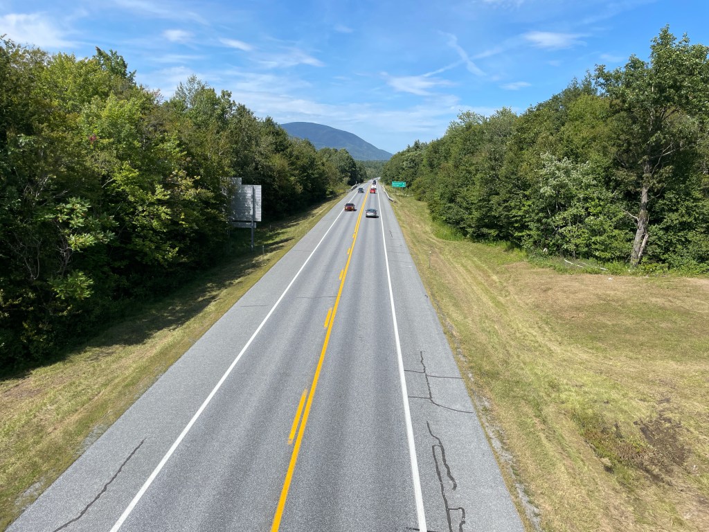
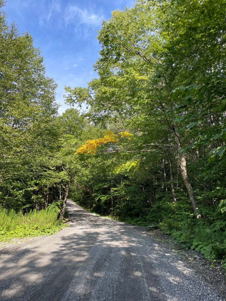
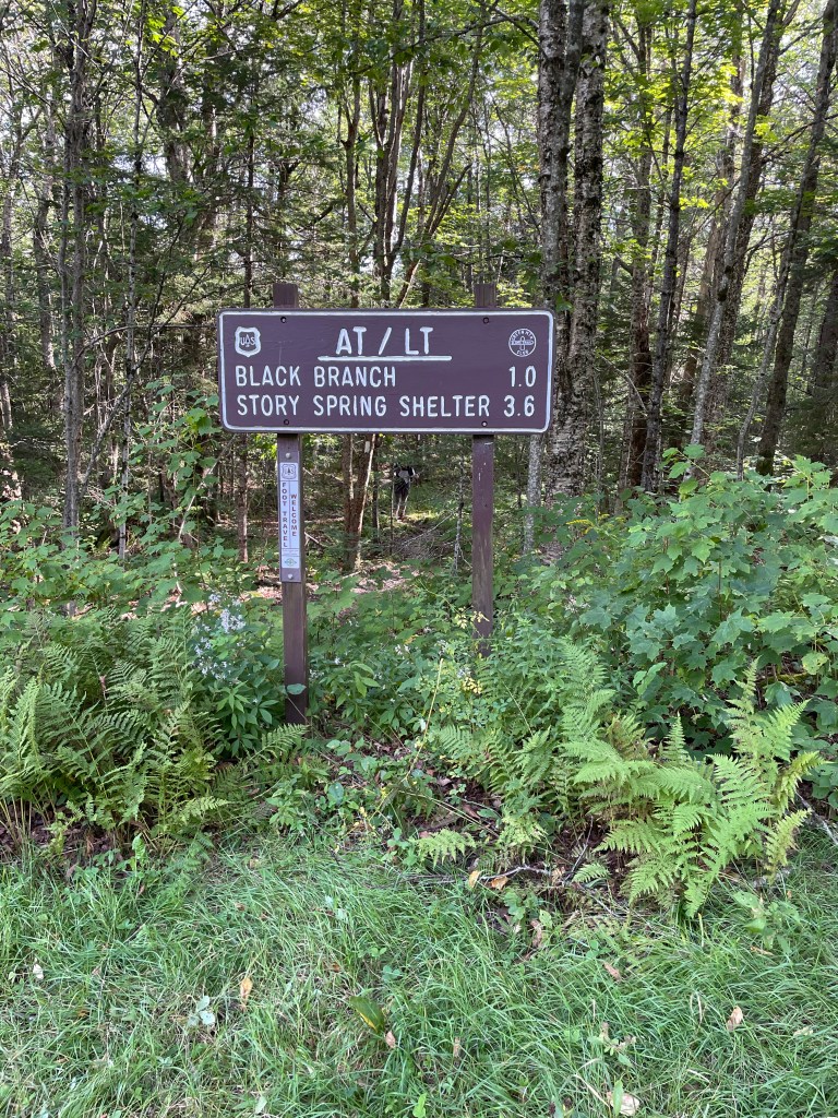
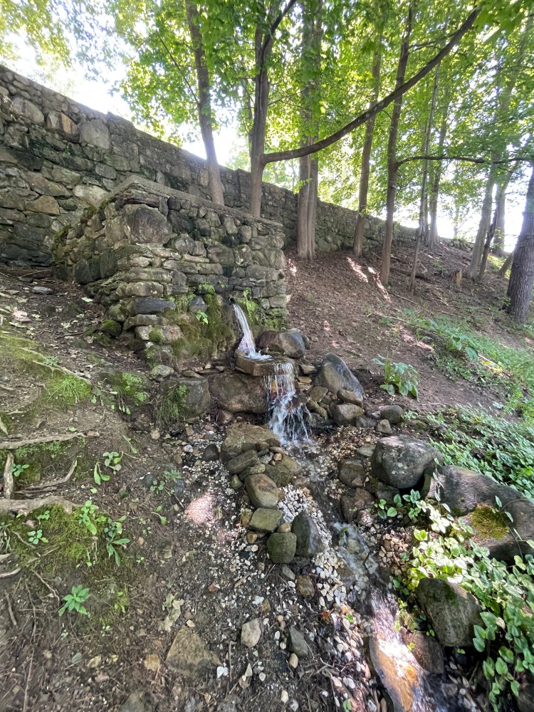
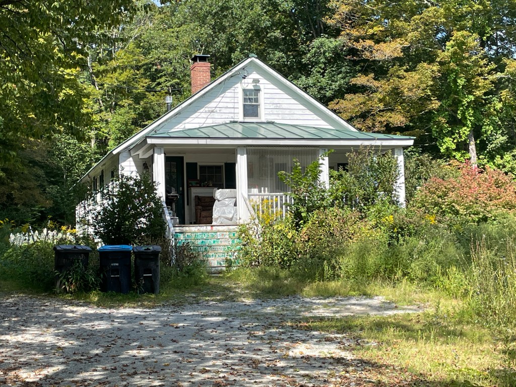
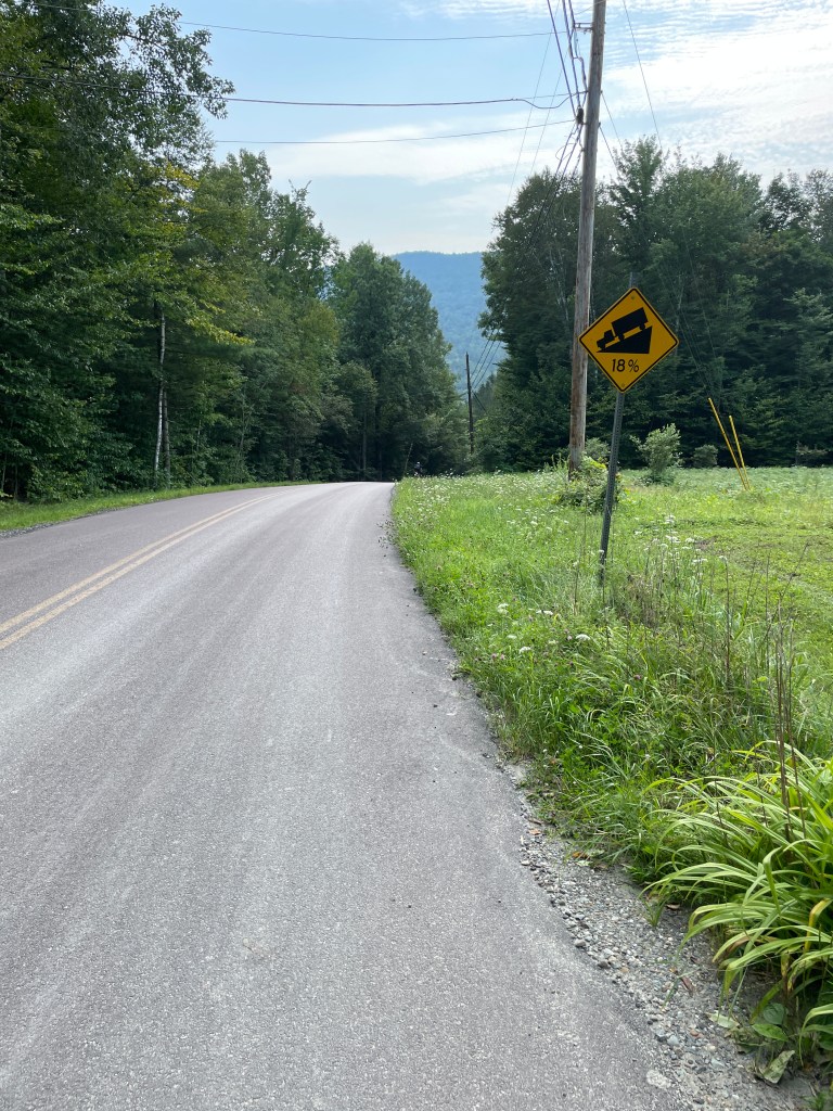
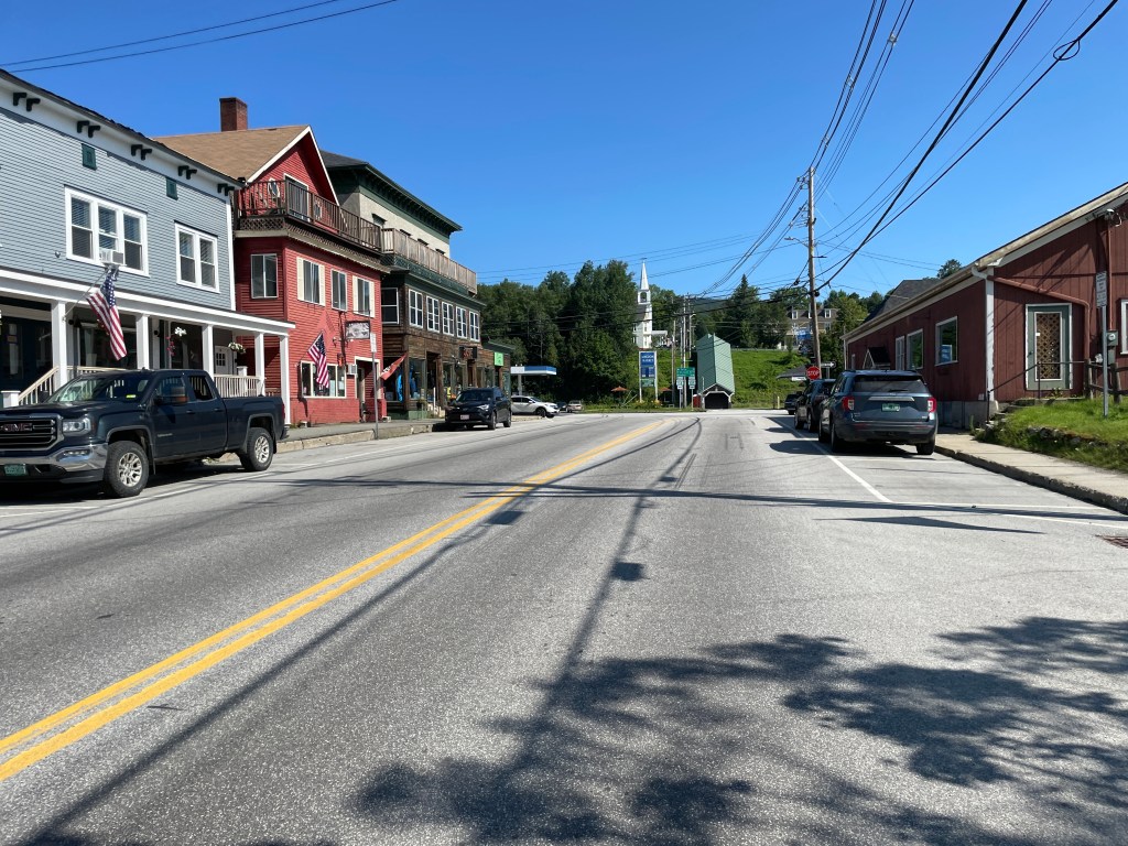
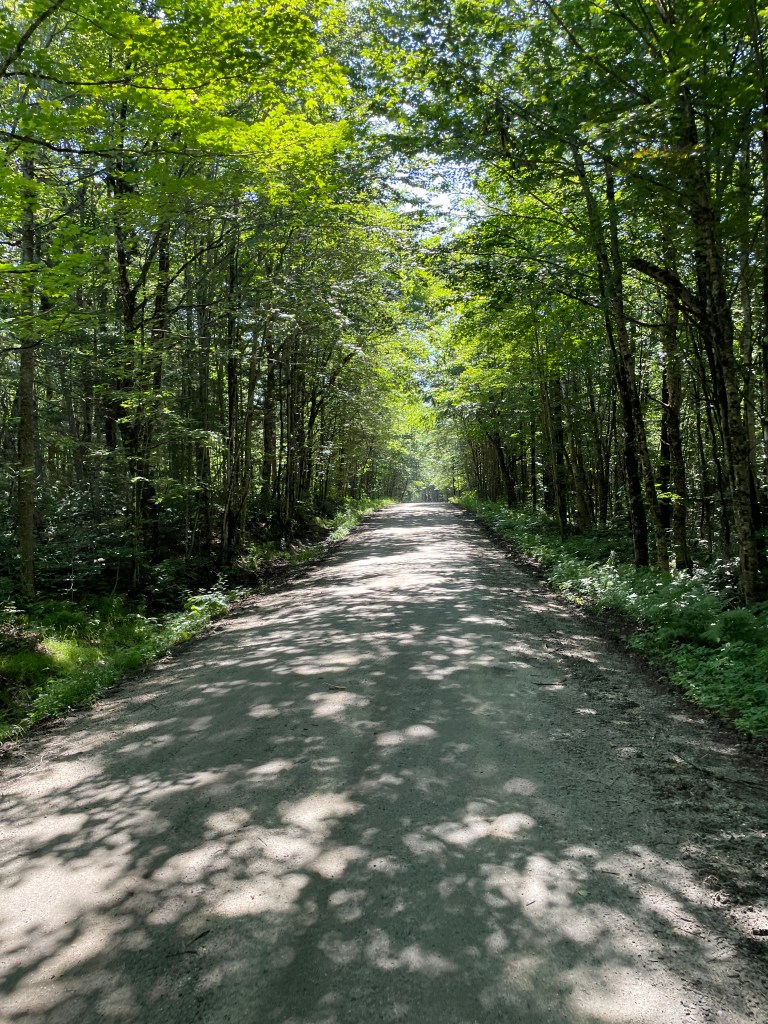
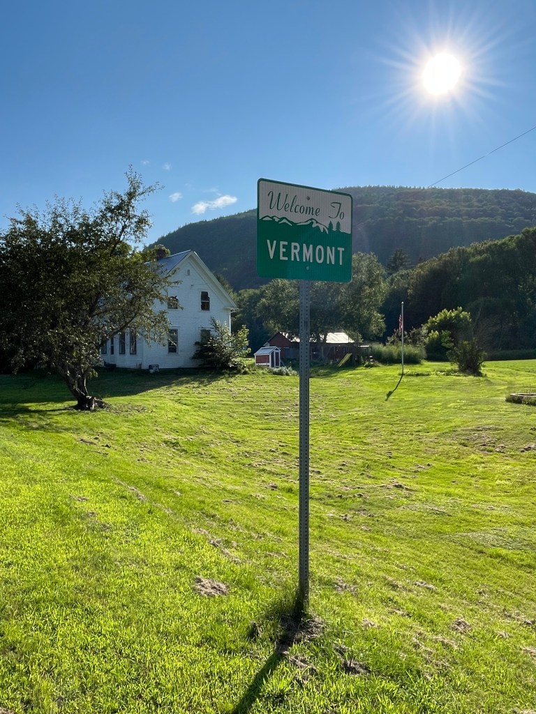
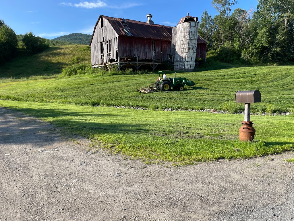
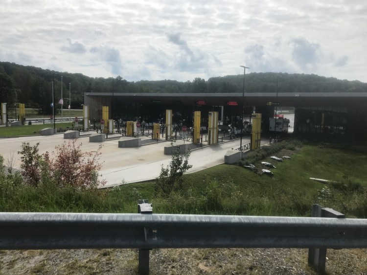
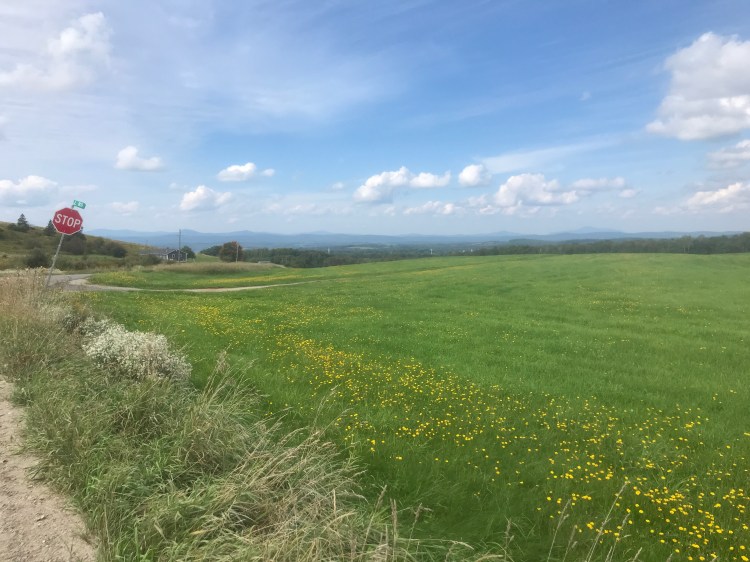
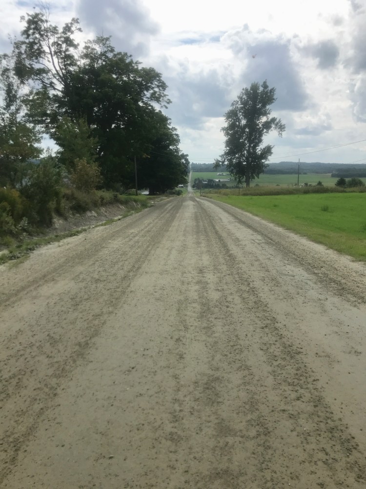
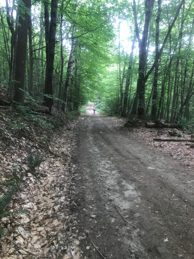
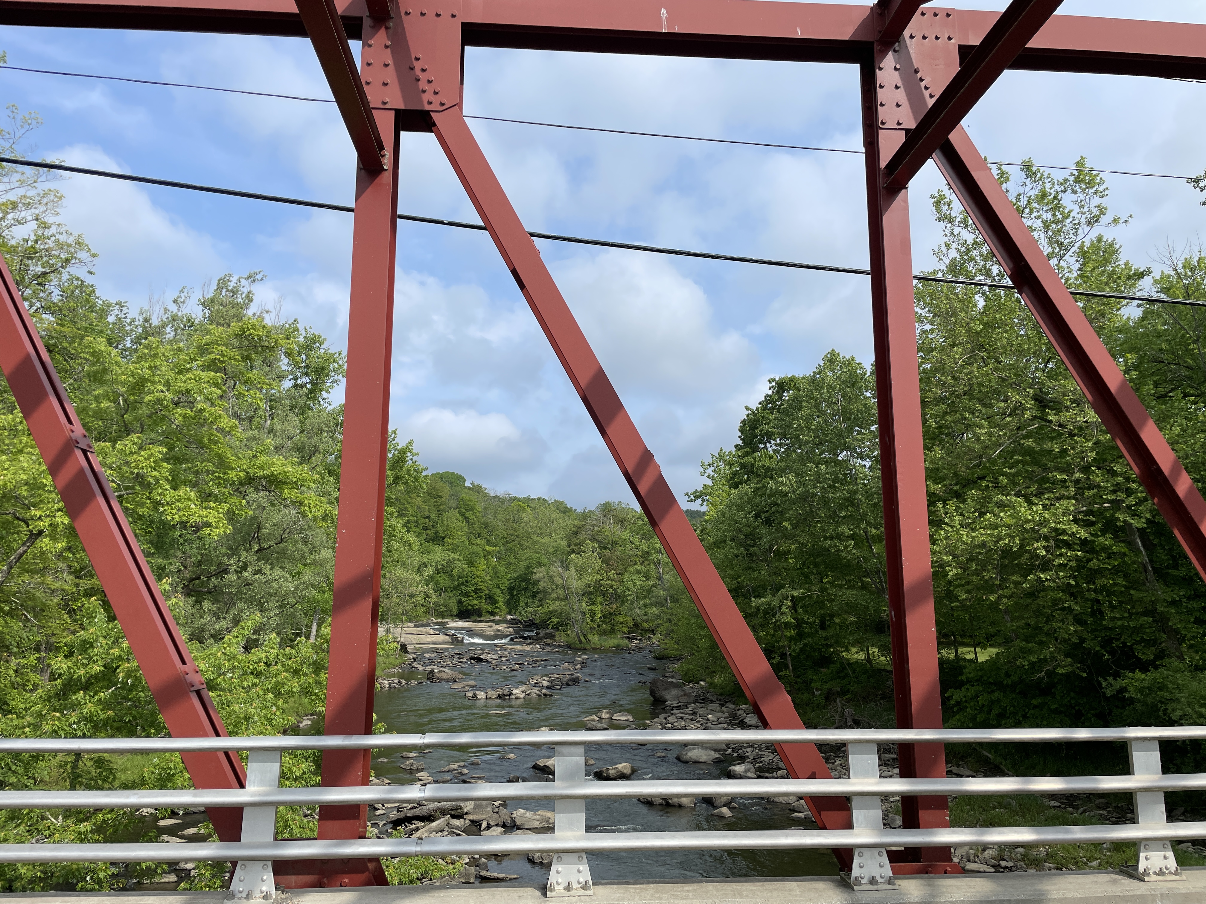
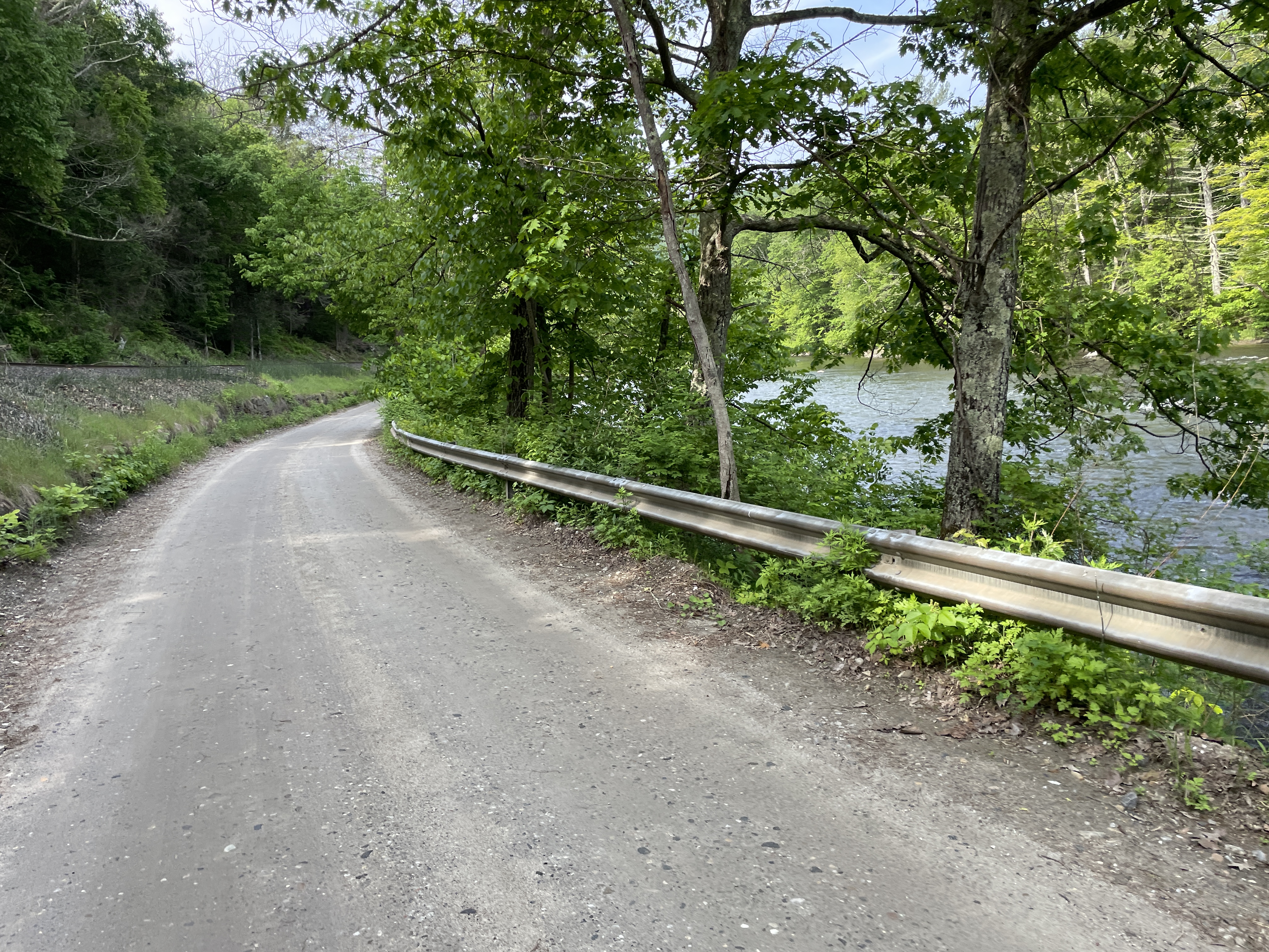
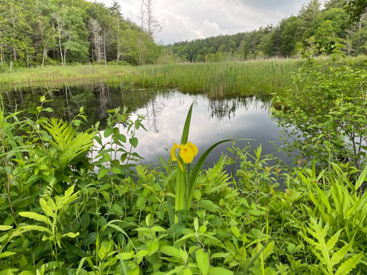
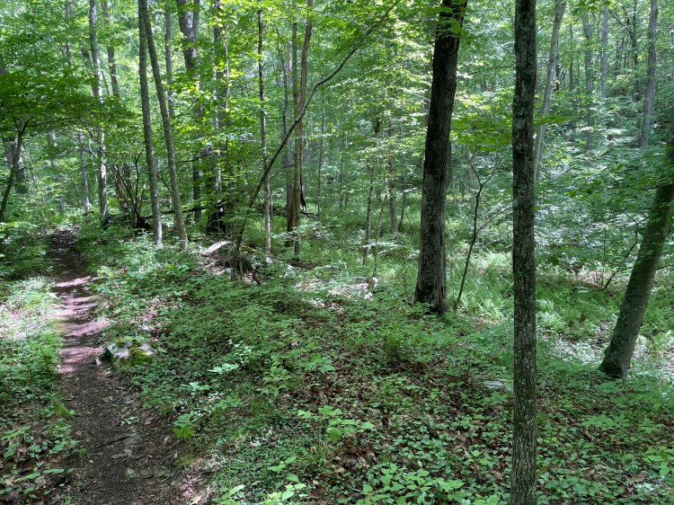
The last weekend in May there was going to be more sun than rain (in southern New England at least), so I locked it all in and on a Thursday evening drove down to my childhood home in West Stockbridge MA. Early Friday, my mom drove me down to the MA/CT border in Mount Washington and after a quick goodbye, I headed south. And downhill too, which was lovely. The highest point in Connecticut (the shoulder of Mt Frissell, whose peak is in MA) was about a mile away and I’d be trending down as I made my way to the coast. I’d actually ridden this stretch in the Fall of ‘22, so it was nice to start with something familiar and the remote doubletrack road was gorgeous. The whole northwest section of Salisbury had previously been the Mount Riga Ironworks but fell into disuse as iron production modernized. The area is now privately owned, but this one public road runs through. Quickly, I was in Salisbury and then up onto a gorgeous forest track called Dark Hollow Road. From there, I wound down to and paralleled the Housatonic river. This is the same river that ran right next to my middle school and it was nice to see it further along its course: with a few industrial relics, some decent-looking fishing, and I even shared a course with the Appalachian Trail for a bit!
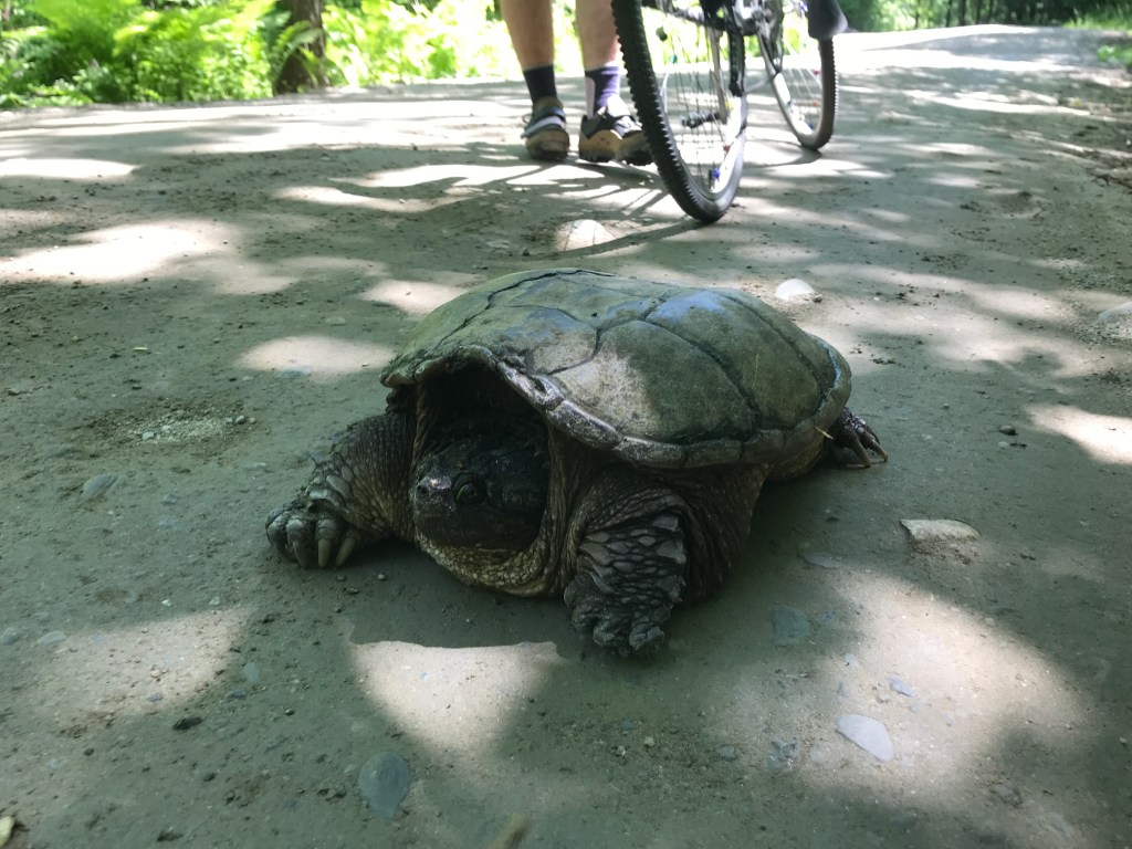
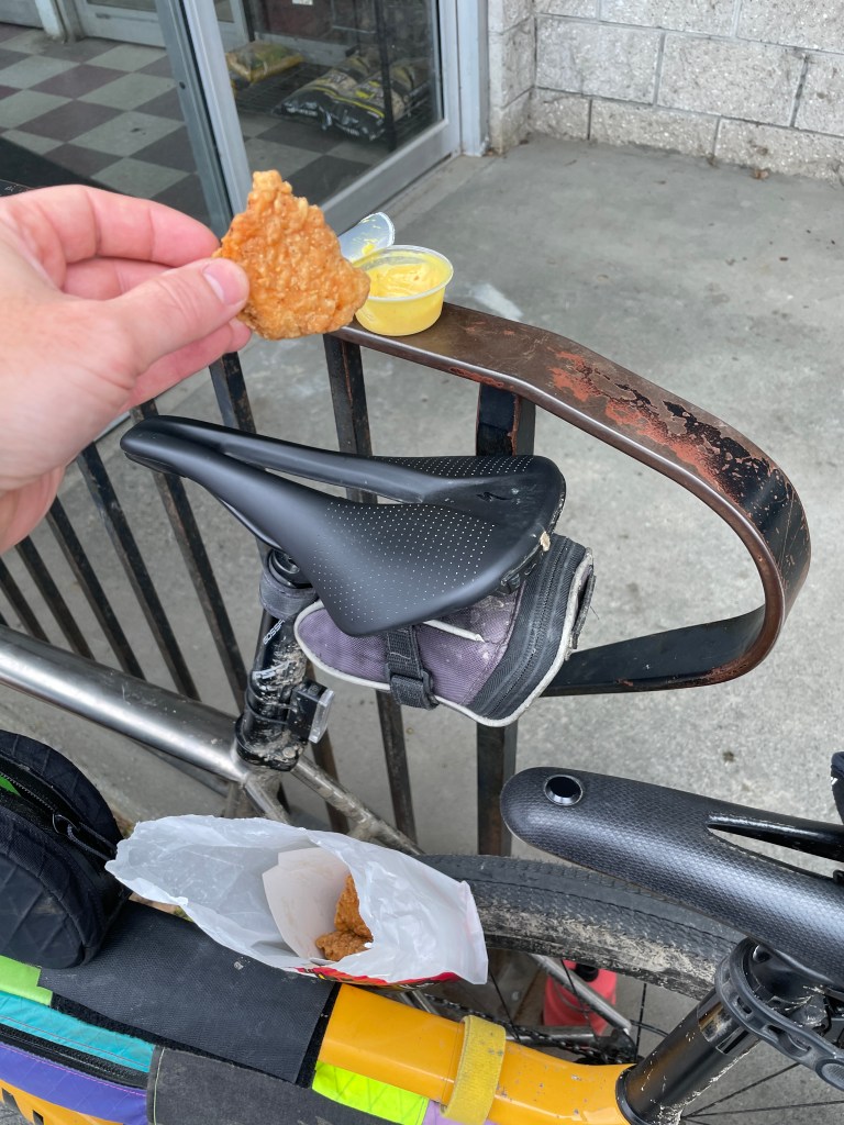
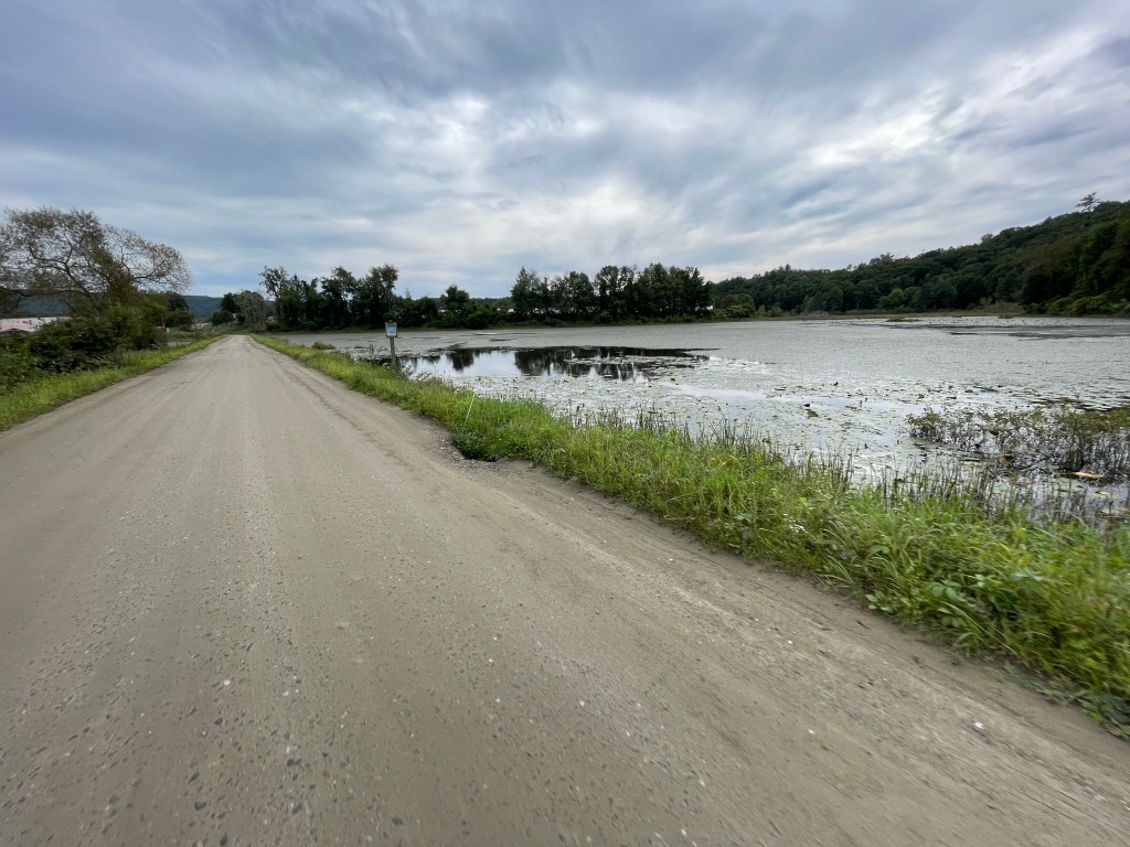
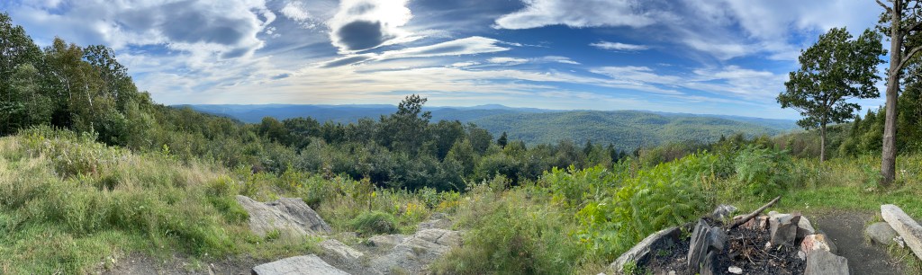
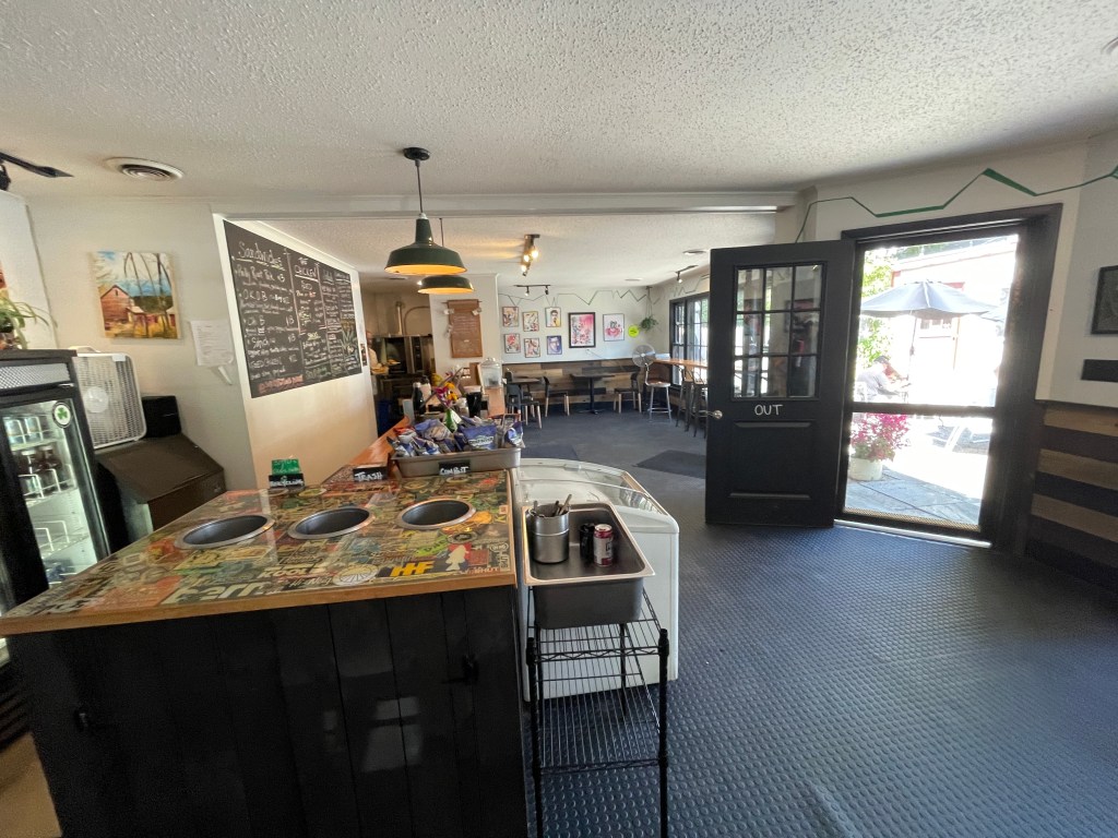
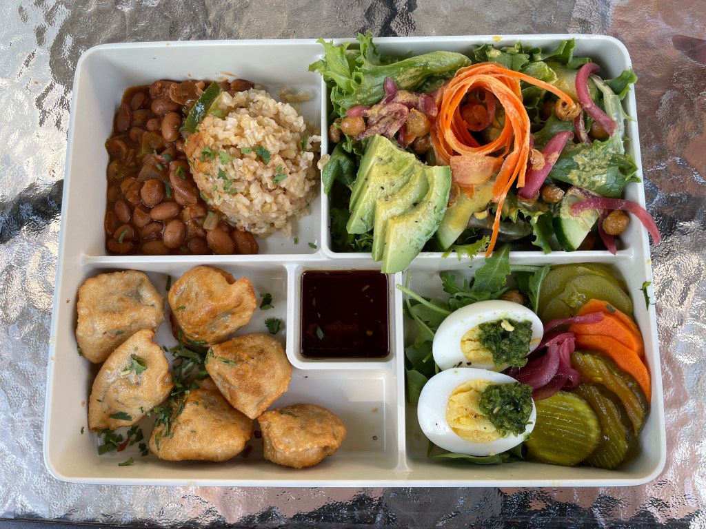
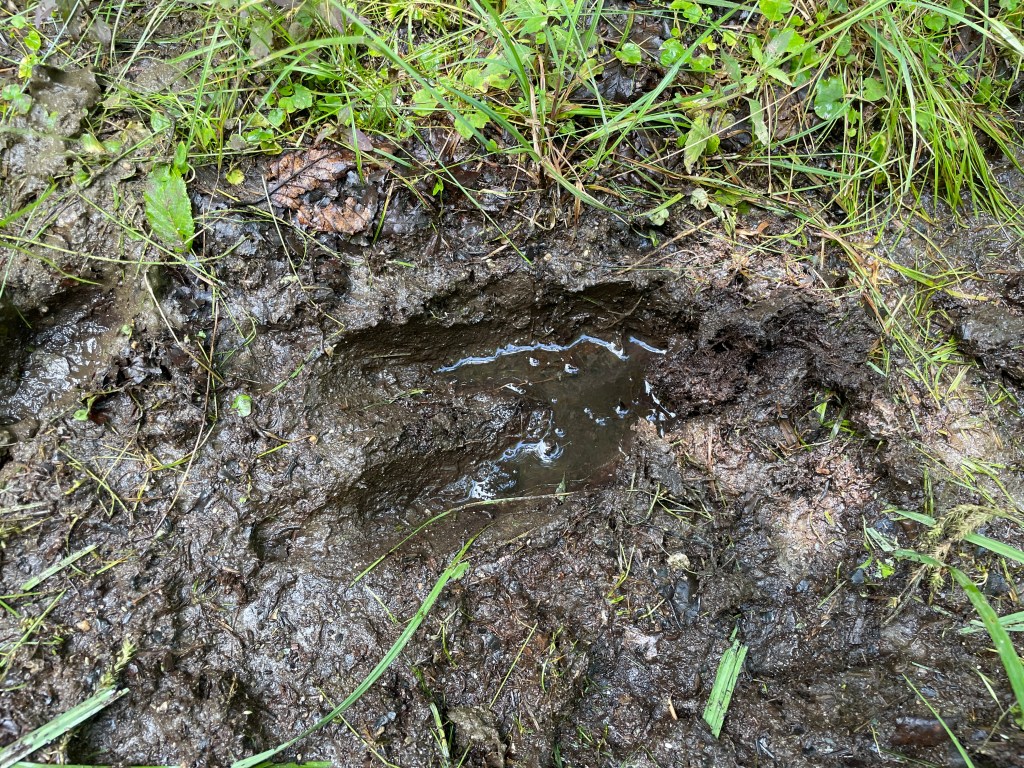
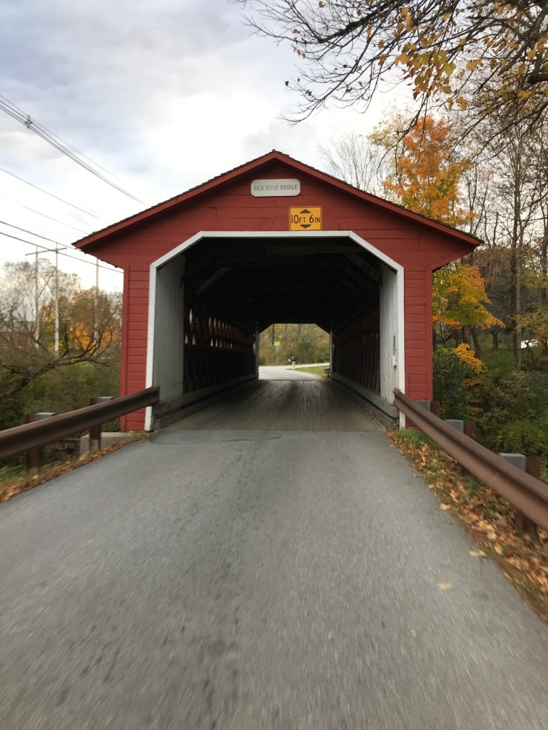
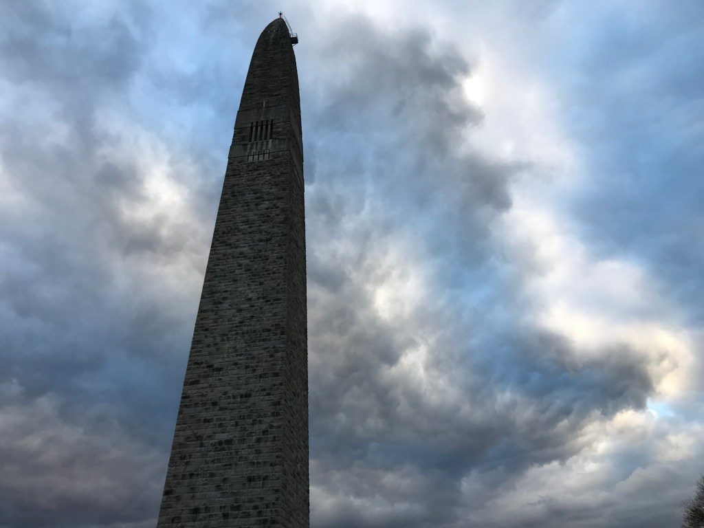
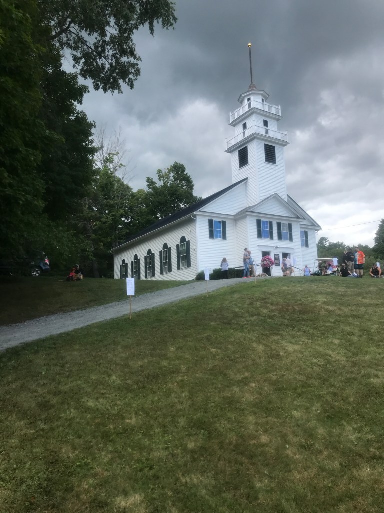
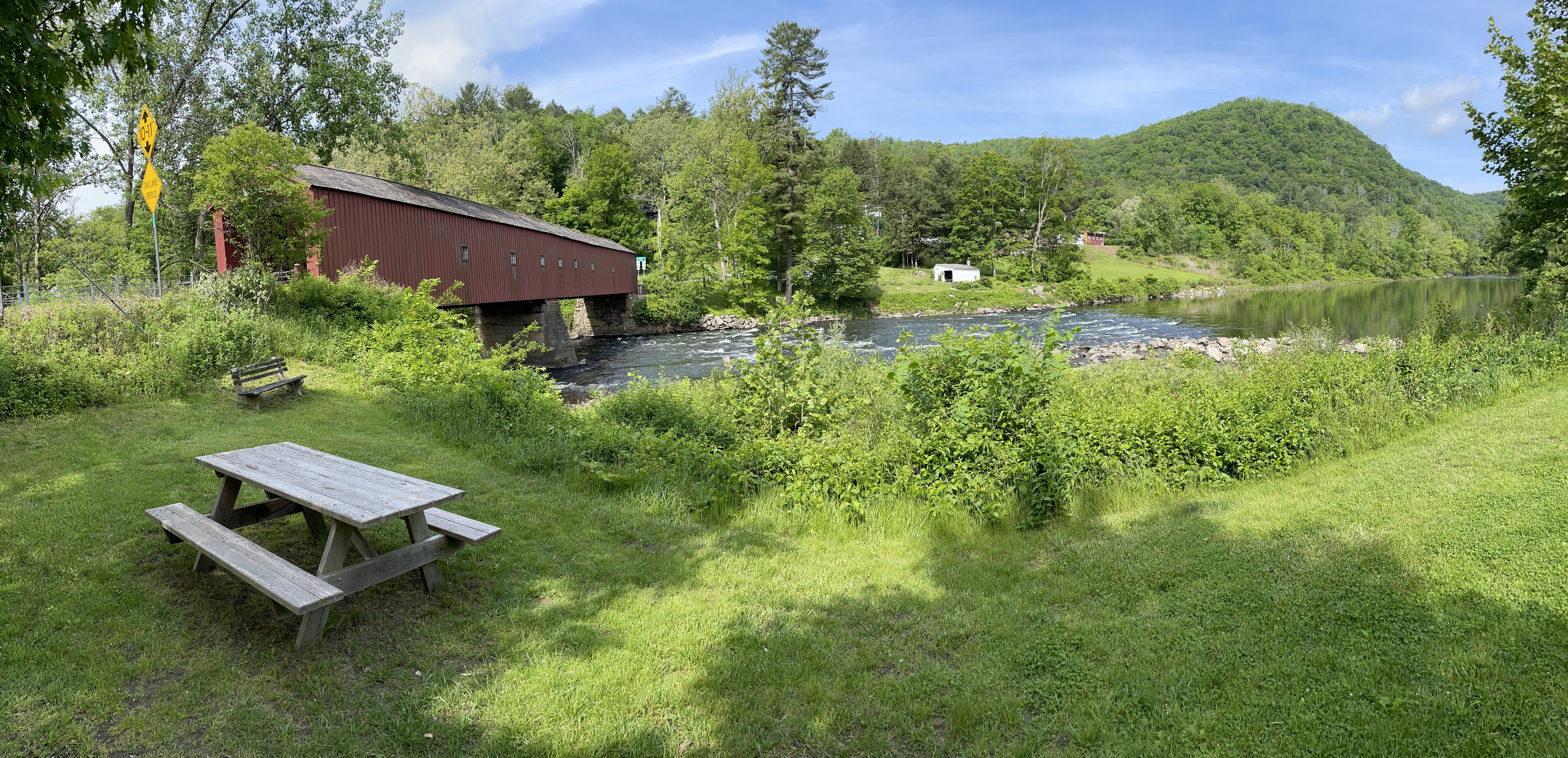
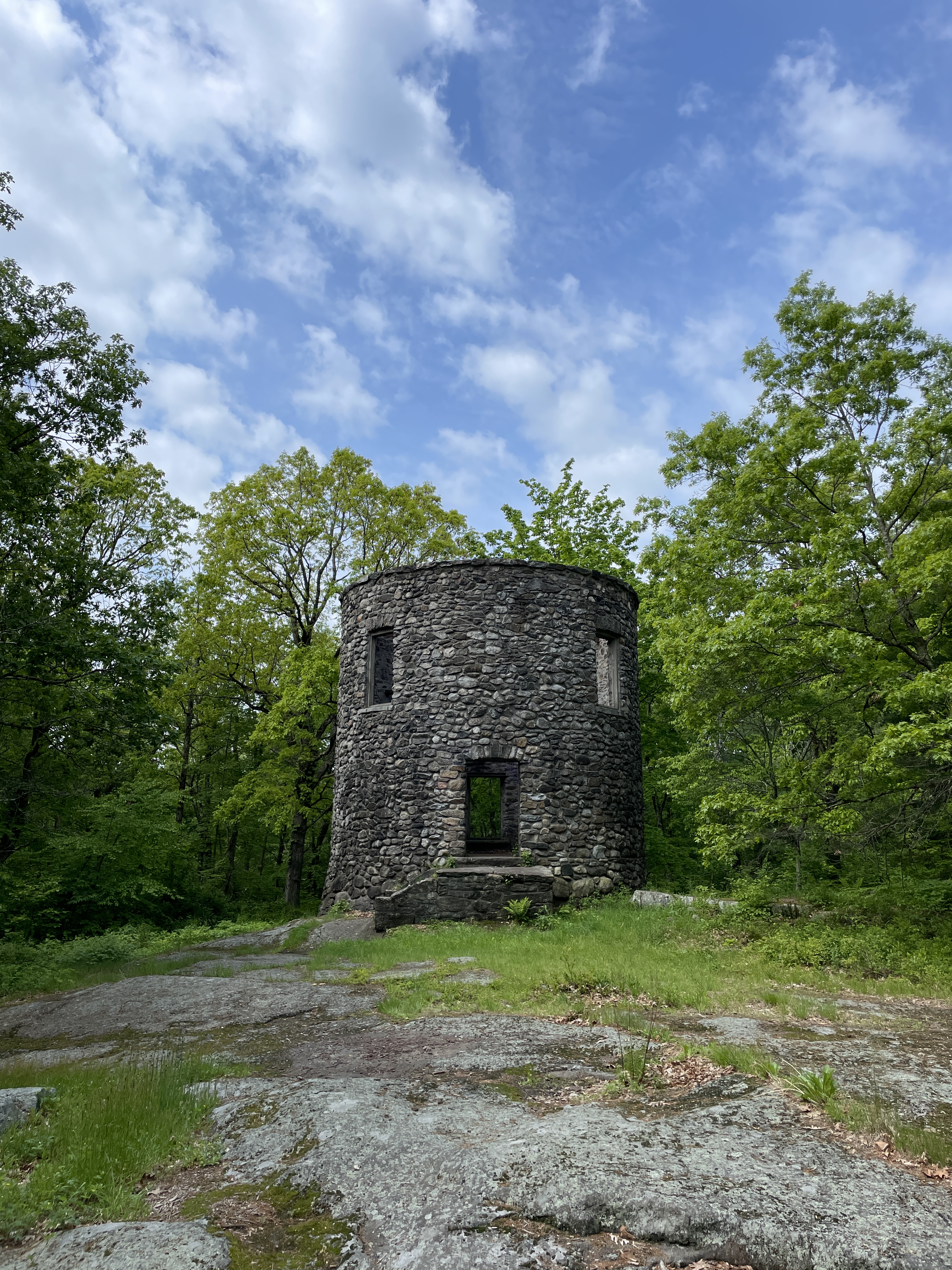
After passing West Cornwall’s beautiful covered bridge and little electric bike rental shop, I had a pair of climbs, the second of which landed me atop Mohawk Mountain. This vantage gave me great views to the north, east and south. There’s even a stone tower which has fallen into minor disrepair and now no longer affords views, due to the builder’s penchant for tree planting. But it was fun to see and certainly worth a turn off the road into the forest. I reconnected with a dirt road to descend, thanks to a rough section of trail. I hiked it, but it’s rideable on a non-loaded bike, or with more gumption. At the bottom of the forest road, I was lucky enough to see a bear. Lucky in that I was able to witness and even film it, but also lucky in that I saw it from far enough away that we didn’t scare the bejeezus out of each other. From there I was soon in Bantam, a borough of Litchfield whose name was apparently “derived from a word of the native peoples, who lived around Bantam Lake: peantum, meaning ‘he prays, or is praying’”. There were a number of good-looking options for lunch, but I stopped at A Mano, a cafe of the Arethusa Farm “empire”. They have two other locations just in Bantam (not to mention New Haven): a dinner spot and an ice cream shop. Brad had recommended the ice cream, but I needed real food in the moment, so I went with seemingly the only cycling-themed option: The Vanderpoel, a turkey, bacon and camembert sandwich, no doubt named for the Dutch Alpecin–Deceuninck rider. It hit the spot and powered me for the next section, one of my favorites of the trip.


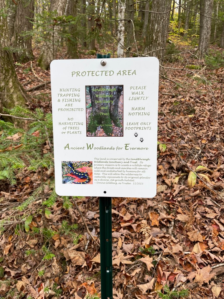
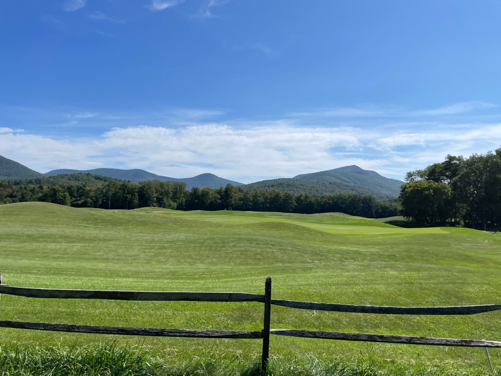
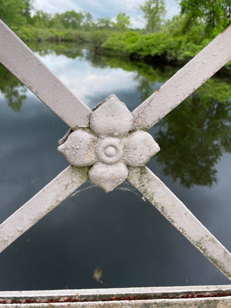
South of Litchfield lies the White Memorial Conservation Center, an educational non-profit that manages 4000 acres of forest, fields and wetlands that are criss-crossed by 40 miles of trails, the majority of which are open to cycling. Many of them are carriage trails which lend themselves very well to riding. It’s certainly on the list to return to and I was happy Brad convinced me to add in more of them. I then enjoyed the quiet Pitch Road, which parallels two reservoirs and the climb up Moosehorn Road was quiet and I got to enjoy some gorgeous little bridges with artistic concrete work likely from the latter days of the CCC. After a quick pitstop at the Northfield General Store, I worked my way through a complex of suburban-style developments, interlaced with more natural areas, as well as the odd golf course. I did, however, see a bobcat which was pretty neat! I wasn’t fast enough to snap a photo, but I bet it loves eating the squirrels, chipmunks, birds, etc. in manicured lawns, but still having access to the forests and fields.
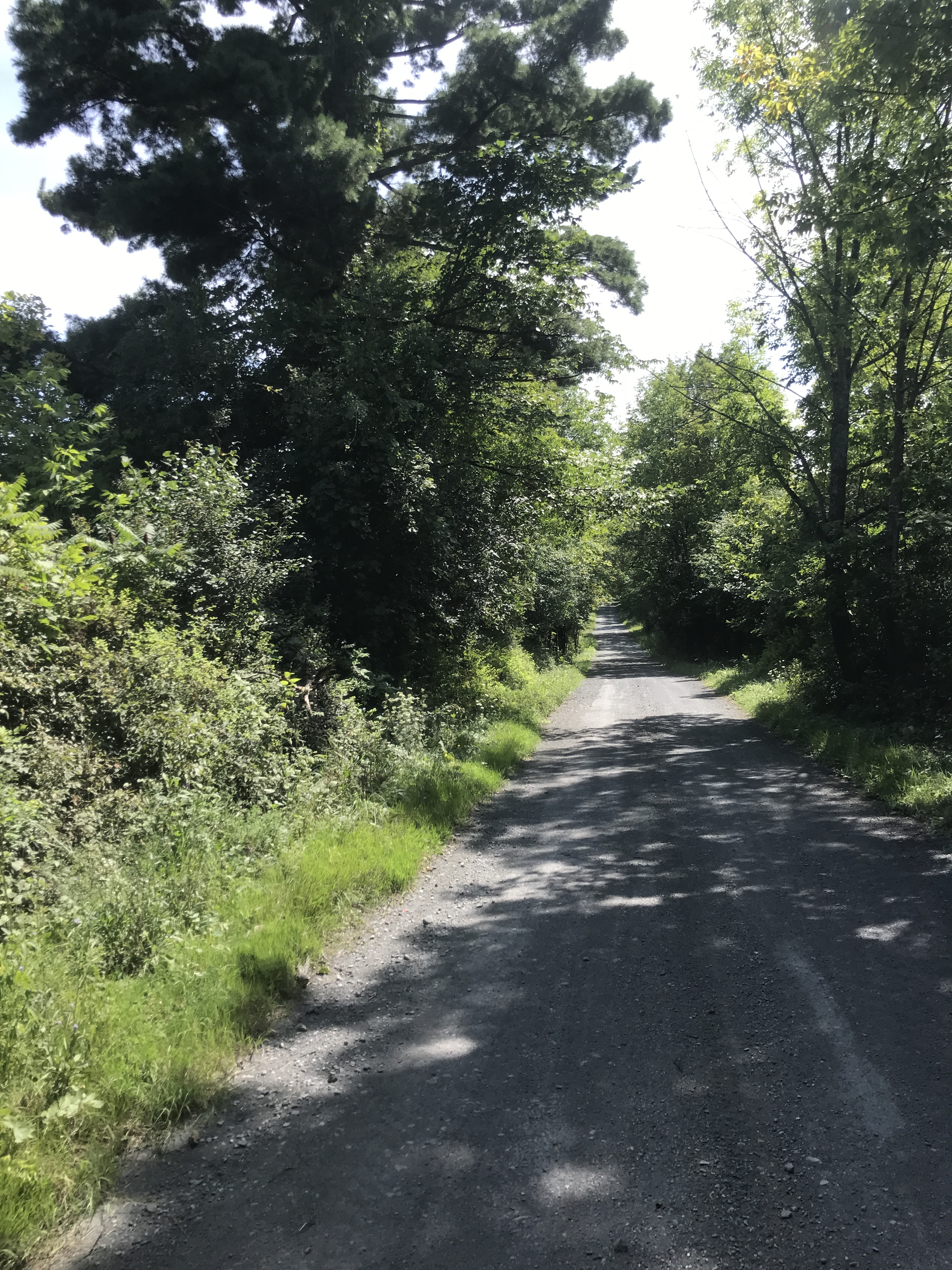
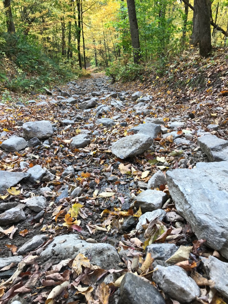
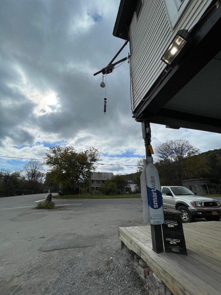
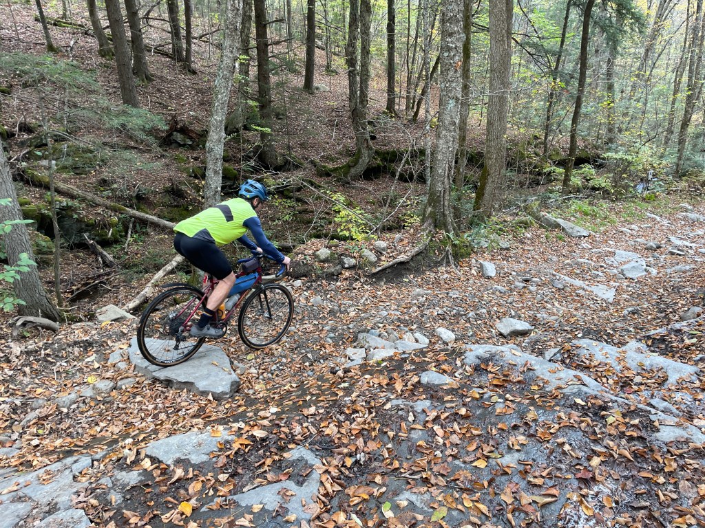
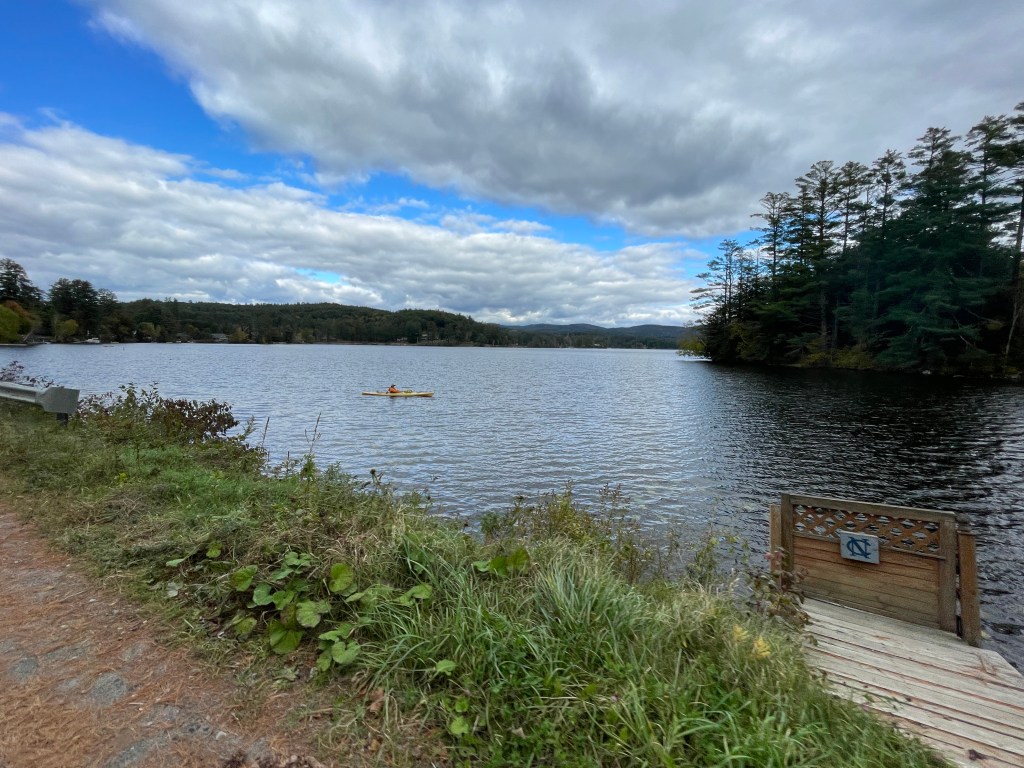
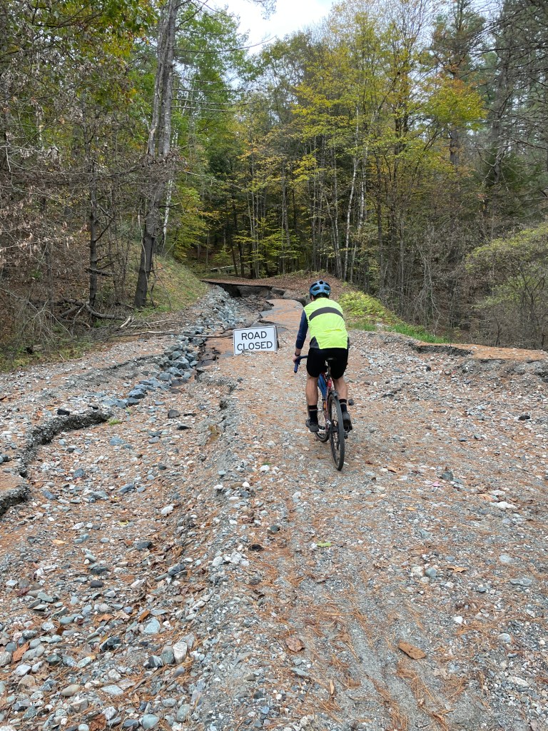
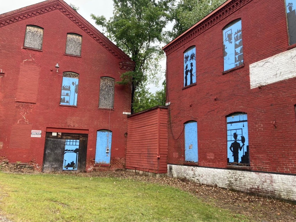
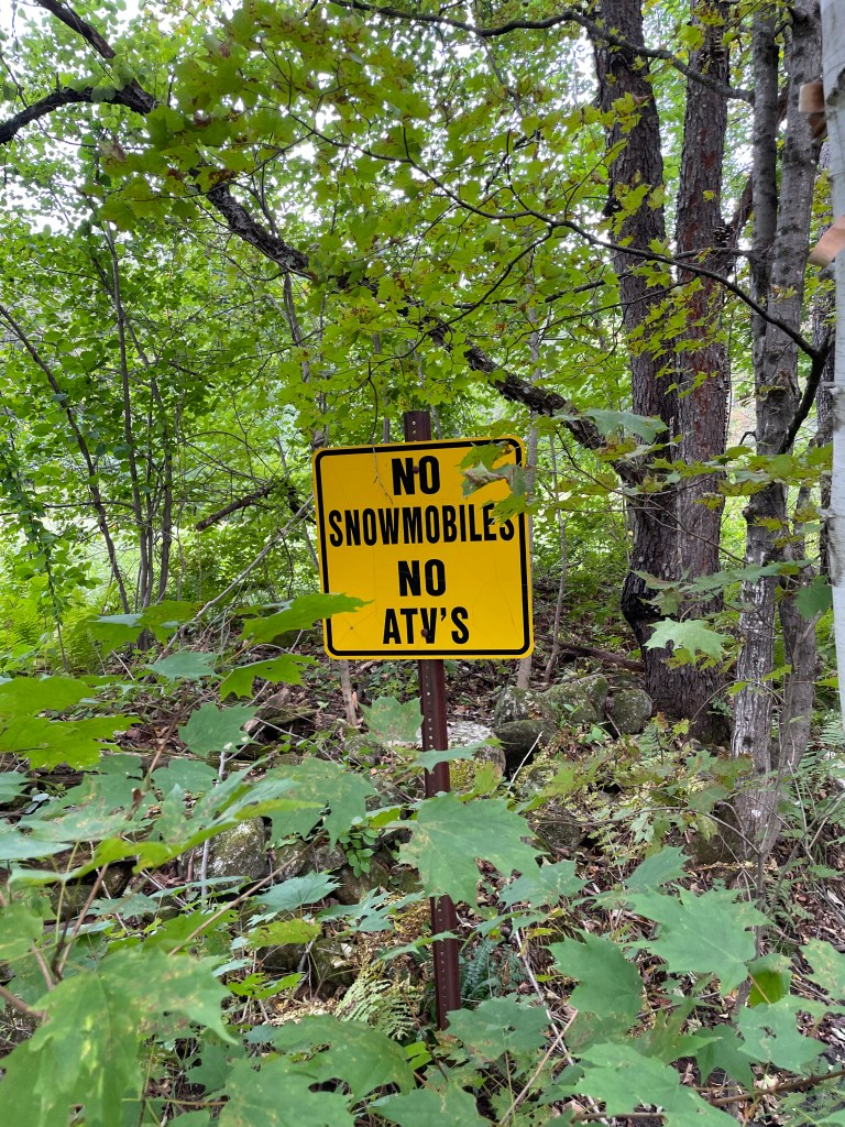
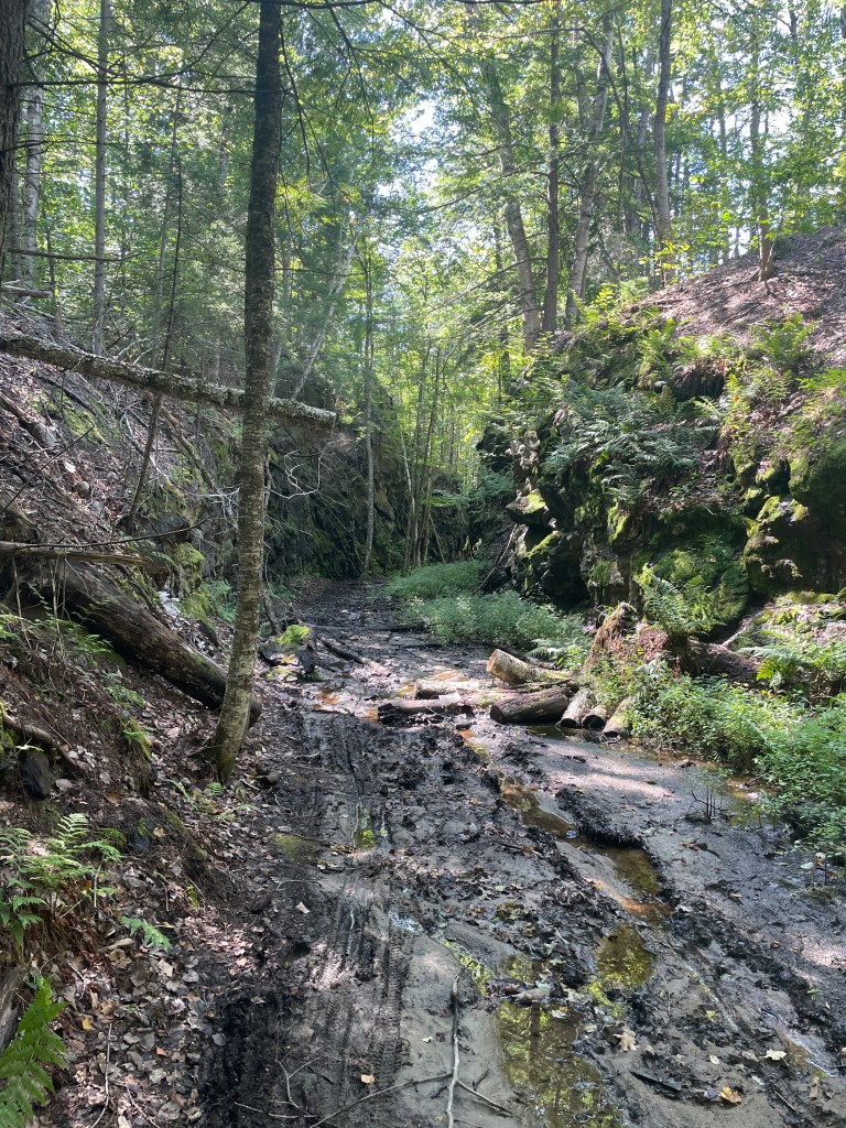
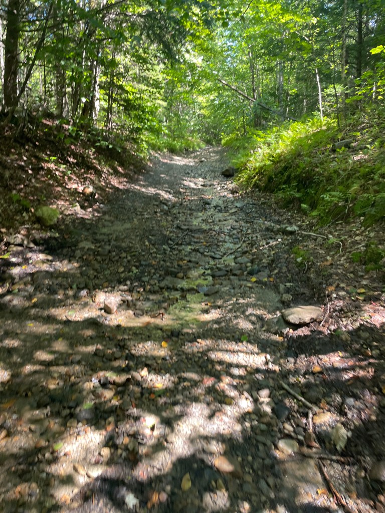
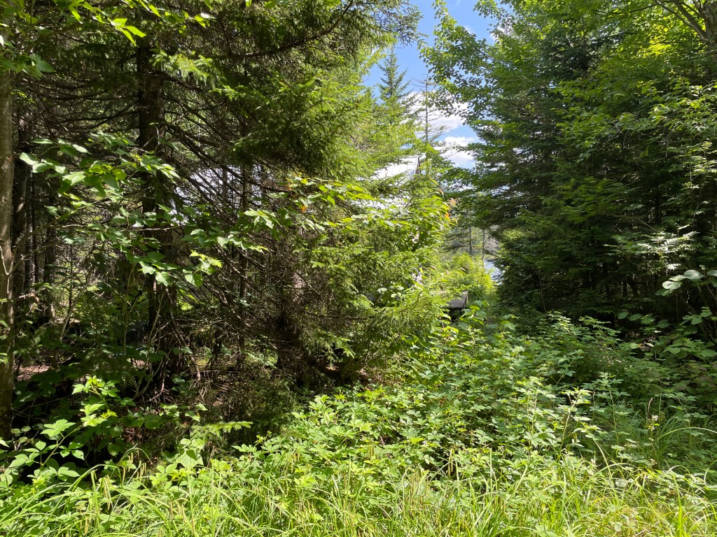
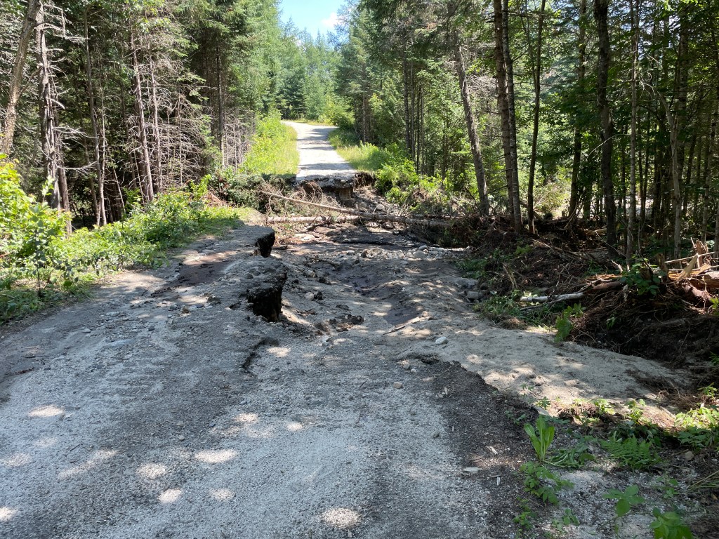
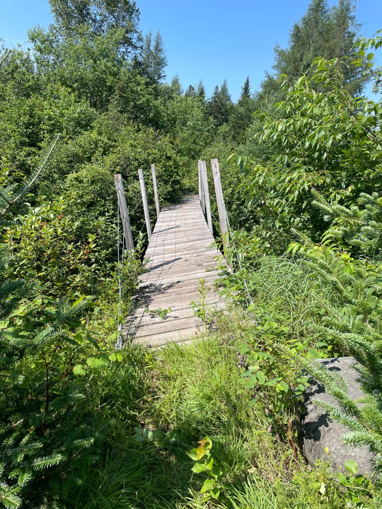
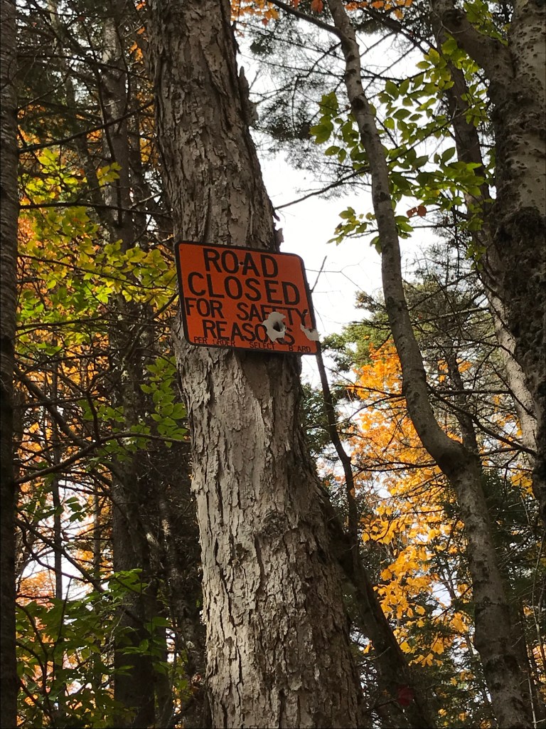
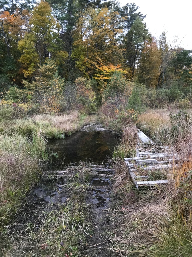
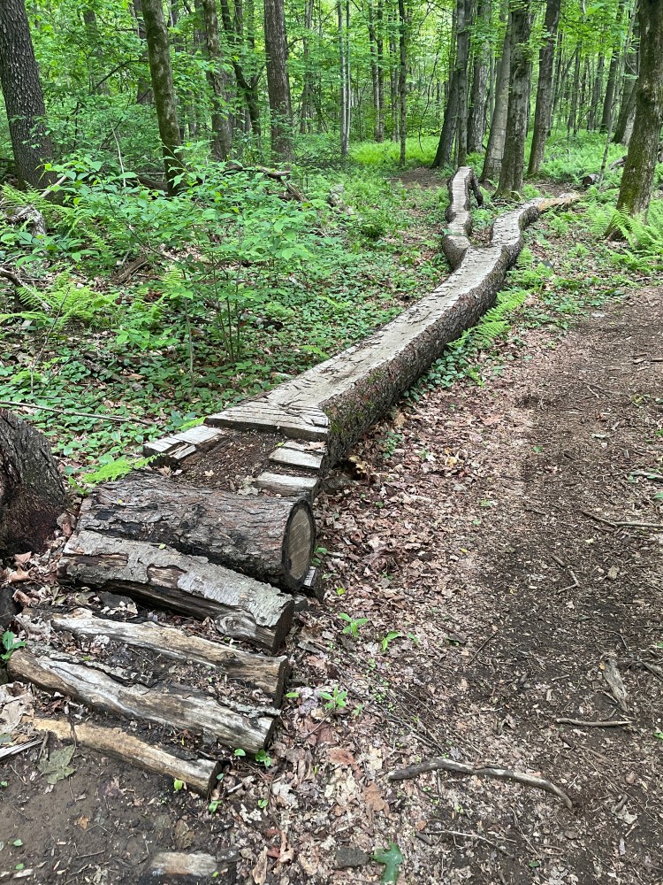
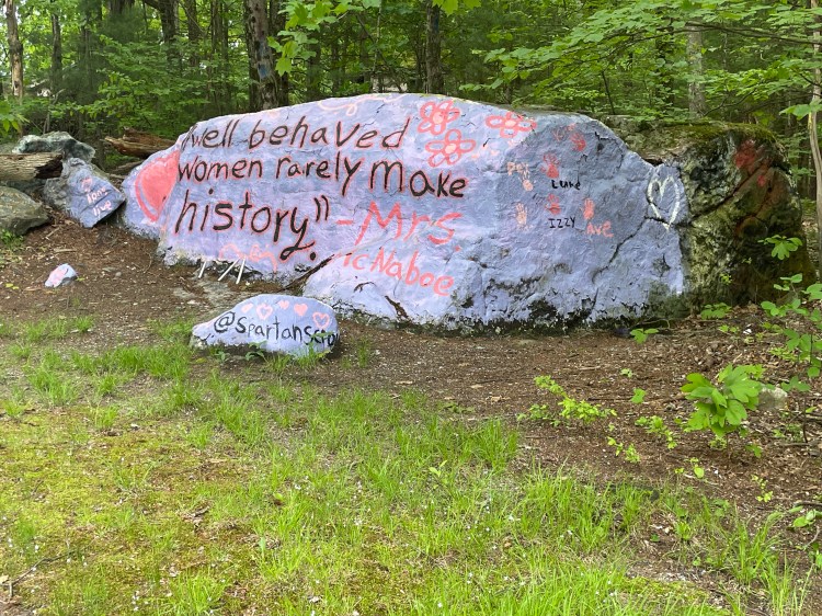
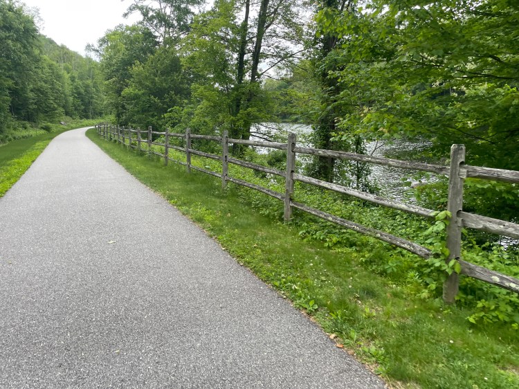
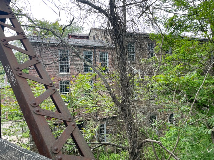
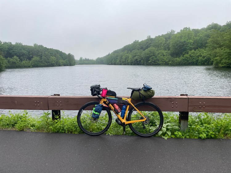
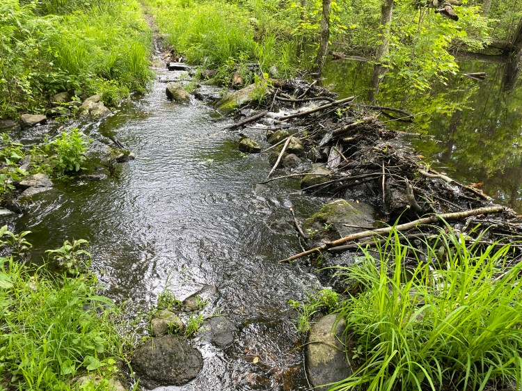
The next notable point was entering the single track of the Nassahegon State Forest. It was rideable at first, but I soon needed to push, owing to the fact that Connecticut mountain bike trial builders have a lot of granite to contend with and tend to just let it be, making for a chunky trailbed. This would become a theme of the single track on this trip, but at this point, I just hoofed along and was soon on a paved road. At an intersection, I saw two women collecting yard flamingos from in front of a painted rock. I just had to ask what they were doing and one said it was a flamingo-themed fundraiser for the senior class. She explained that they’re part of a group of moms who led the charge and dubbed themselves “The Mother Flockers”. Too funny. I had a wonderful drop down to the Farmington River and its bike trail. I took that up into Collinsville, a sweet little mill village of Canton which sprung up around the Collins Company Axe Factory. From here I’d initially planned to head up to Onion Mountain Park, which reportedly allows camping (there are other stealth camping options in the area). However, there were forecasts of up to an inch of rain that night and off and on showers the next day. So I considered the fact that I can make whatever decision I want for this trip, and decided to book a hotel in Avon, winding my way there via another branch of the river trail as well as busy US 202.
After a restful night’s sleep, a decent breakfast and a PB&J and stashed away for later, I headed out from the hotel to climb over the portion of the Metacomet Ridge that runs between Avon and West Hartford. The ridge is home to Heublein Tower, a daunting spire of a historic home which rises high from the already prominent ridge. If bikes were allowed in the surrounding state park, I’d recommend it as a side excursion, but alas the area is foot-traffic only. Had I not stayed at the hotel, the route had me going into the village of Simbsbury, across the Pinchot Sycamore bridge and use CT 185 to get over the ridge. But time being what it is and weather looking spotty, I decided to use the busy Avon Mountain Road. I donned my reflective vest and booked it as fast as I could (given the climb) making my way for a dirt access road which provides access to the Hartford reservoir system. There is an entire trial system that permeates the area, and once I arrived, it was like night and day. I’d have been forgiven for forgetting that I was in a town of almost 64,000 people adjacent to a capital city of almost 120,000.
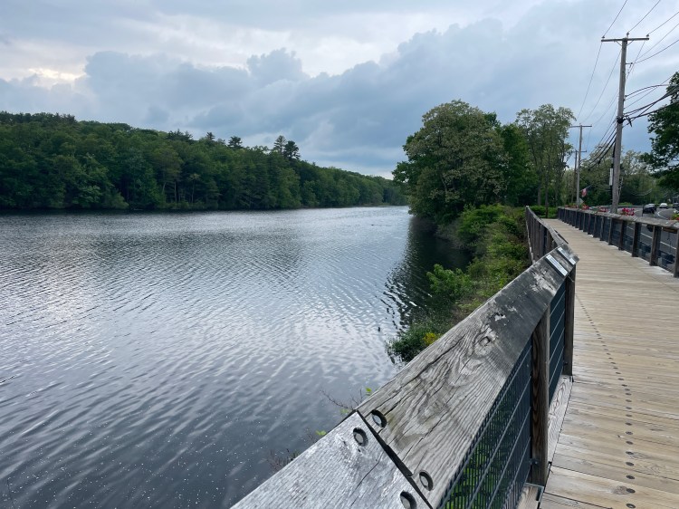
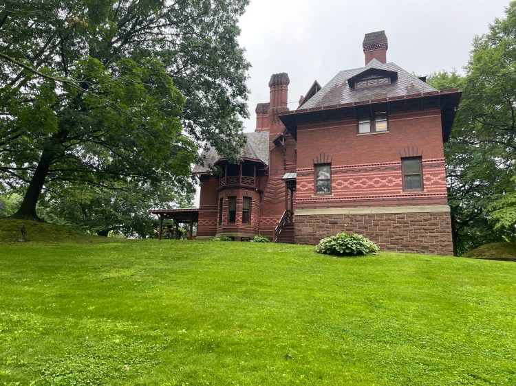
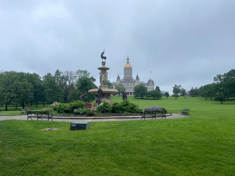
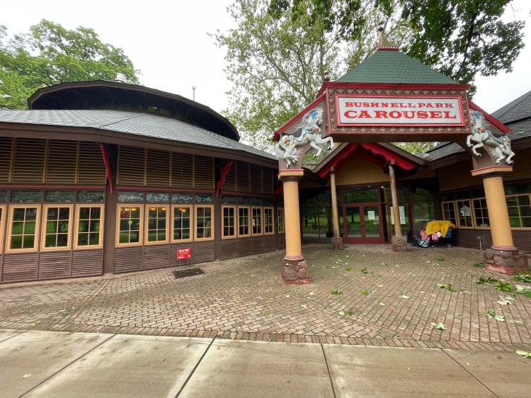
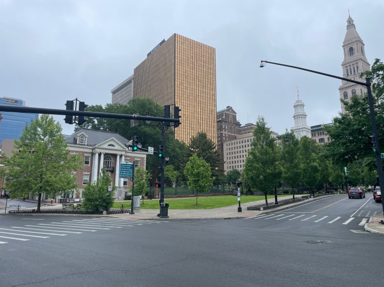
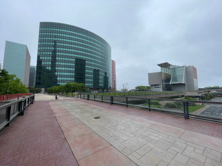
I saw a few walkers and cyclists out enjoying the misty morning and I quickly entered the suburban splendor of West Hartford. This had special significance to me, as my dad’s side of the family lived there for many years. It was nice to be cruising down streets that have such a connection to my family. The stately houses whizzed by as I got closer to downtown Hartford. Soon I was passing the Mark Twain House and entering the core of the city. After a few tricky bits with little bike infrastructure, I took refuge in Bushnell Park, enjoying views of the State Capitol building, the Soldiers and Sailors Memorial Arch and the enclosed carousel. After leaving the park and passing the Wadsworth Atheneum Museum of Art, I entered the downtown core that was severely torn up by urban renewal.There is an odd upper deck quality to downtown that hovers above the streets and the river. It’s all a bit strange.
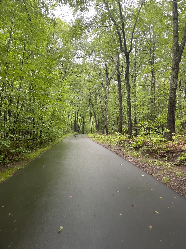

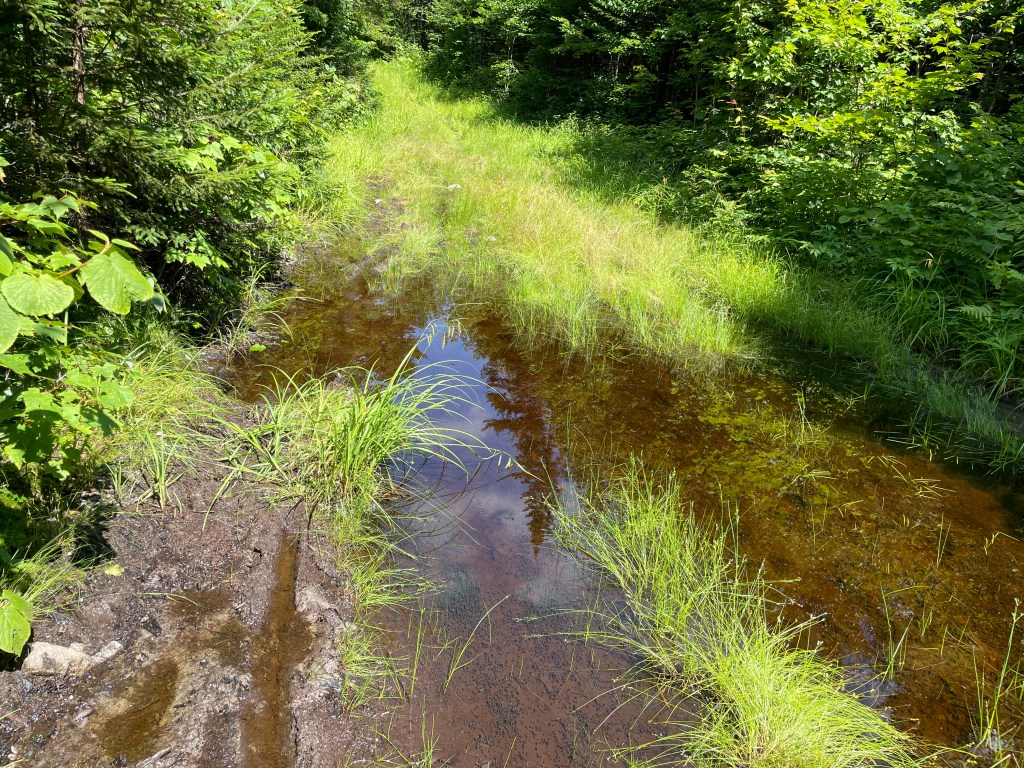
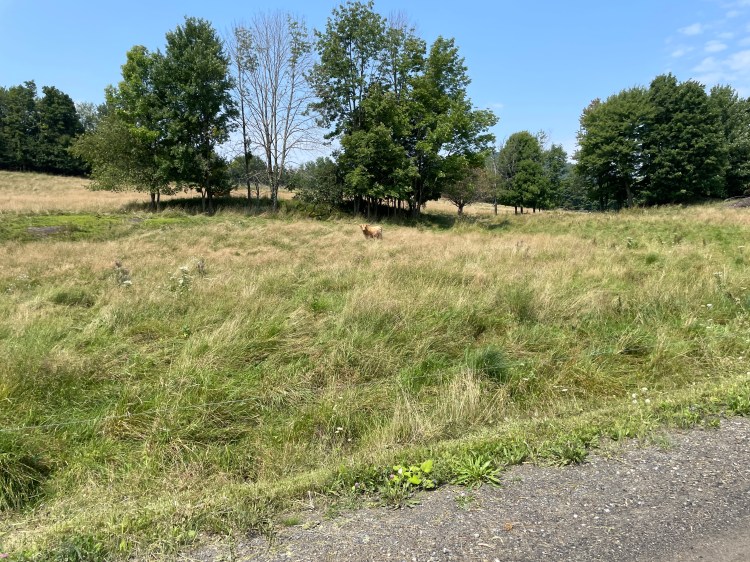
After I crossed the Connecticut river, I got views out to the blue onion dome of the East Armory building, which I have fond memories of passing on the way to my Grandma’s house as a kid. I wound my way around (and sort of through?) the sprawling Pratt and Whitney campus, continuing around UCONN’s football stadium, until joining the Charter Oak Greenway. Unbeknownst to me, I’d already been on the East Coast Greenway since downtown Hartford, but I continued on it, paralleling I-84. Other than a foggy view back towards the city and a nice encounter with a deer, this section dragged a bit. Don’t get me wrong: it was nice to be off roads, but it’s not entirely stimulating. Plus, the rain truly began at this point and didn’t really end until the last miles of the day. After a pitstop to refill supplies (and scarf down a hotdog), I turned off the greenway and climbed the carriage roads of Case Mountain. These were very enjoyable, as would have been to view from the top if it wasn’t pretty well socked in. However, I soon turned off the manicured paths and onto the Shenipsit Trail, a rocky singletrack that in this section allows bikes, but given the wetness and heaviness of my bike, I was unfortunately walking much of it. I saw on maps that it eventually connected with “Coop Road”, but that road didn’t turn out to be much better. Including a section in the Longo Farm Open Space area, it was about 4.5 miles of on and off again riding/hike-a-bike. Under different circumstances, it would have been better, so I’m keeping it on the route, but be ready for some slower going if you’re riding.
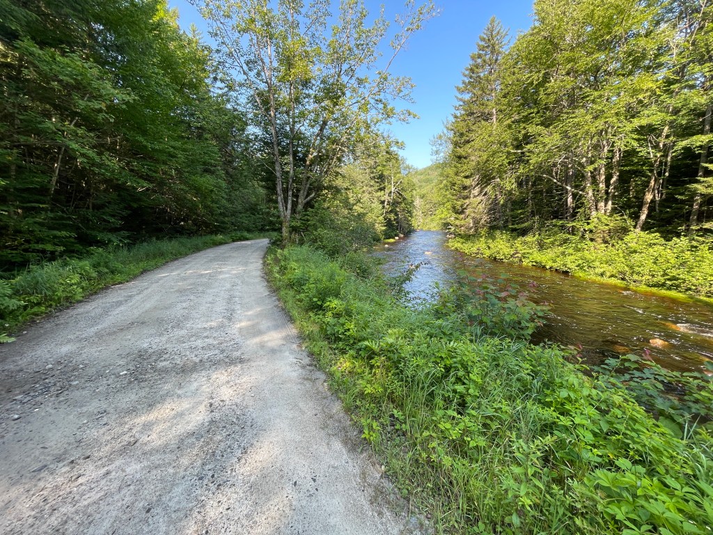
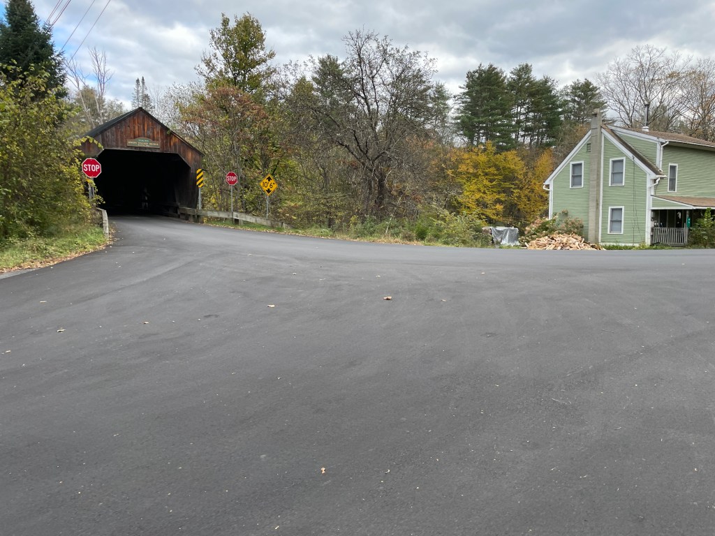
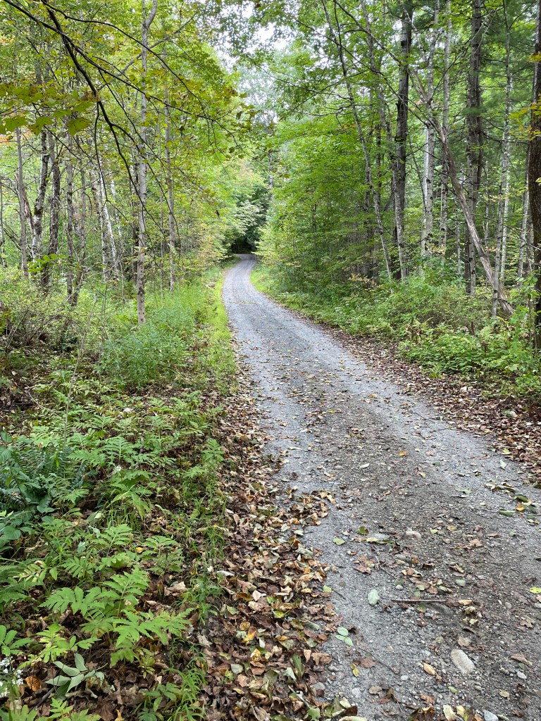
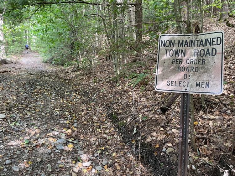
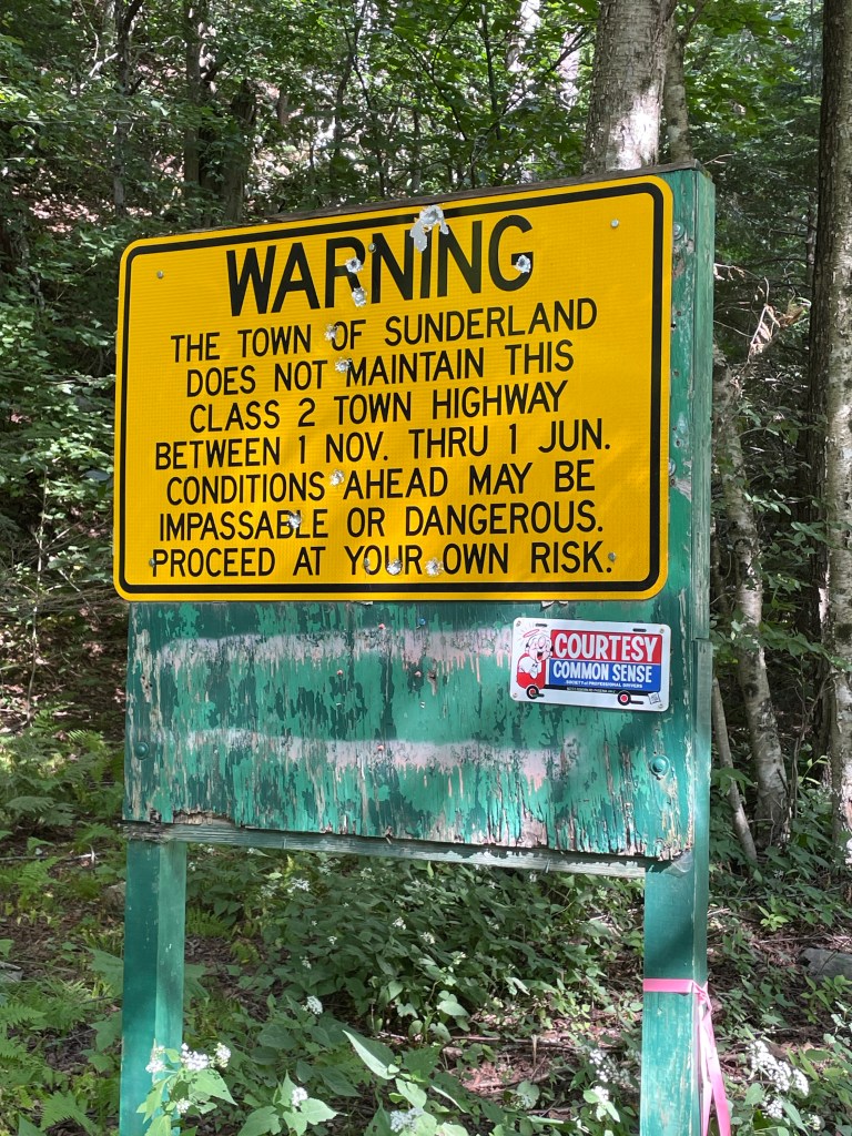
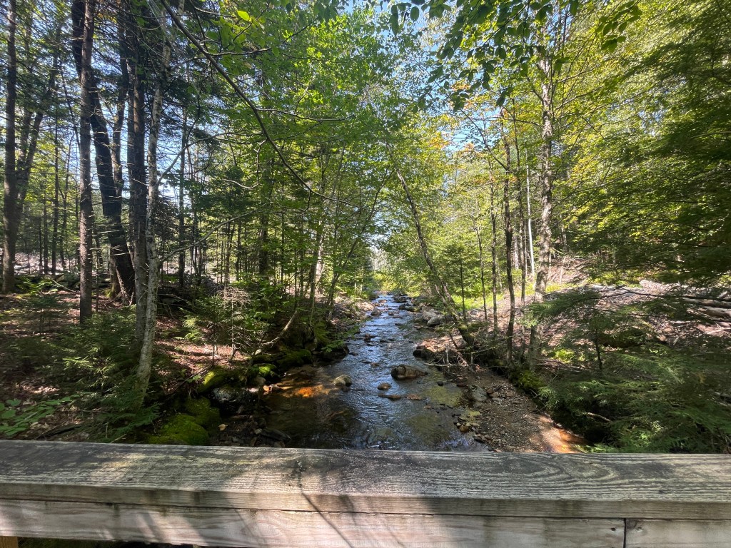
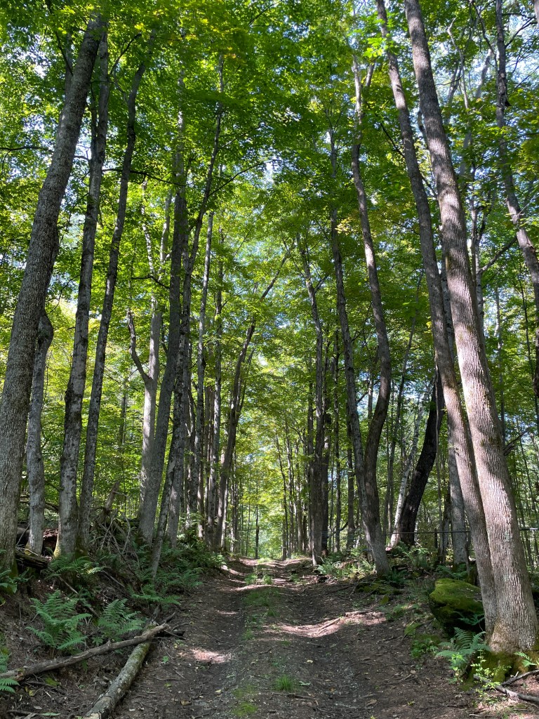
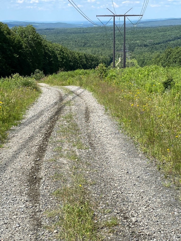
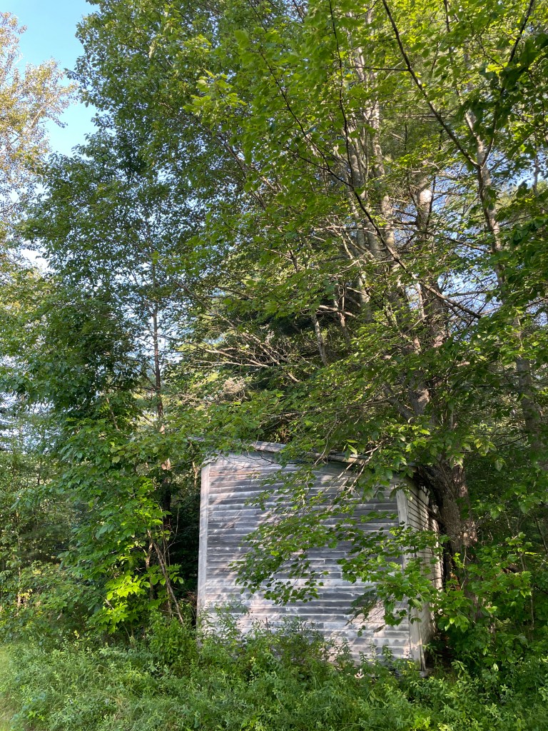
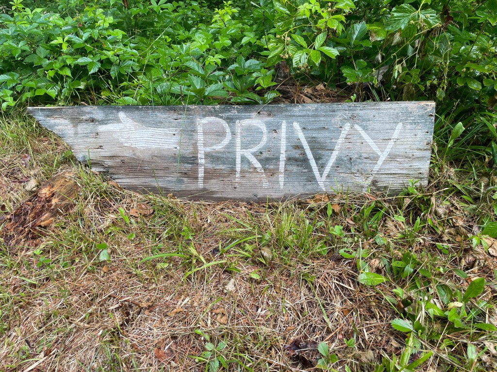
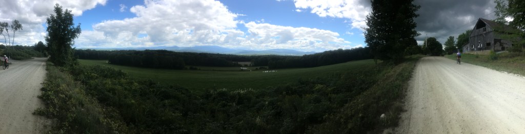
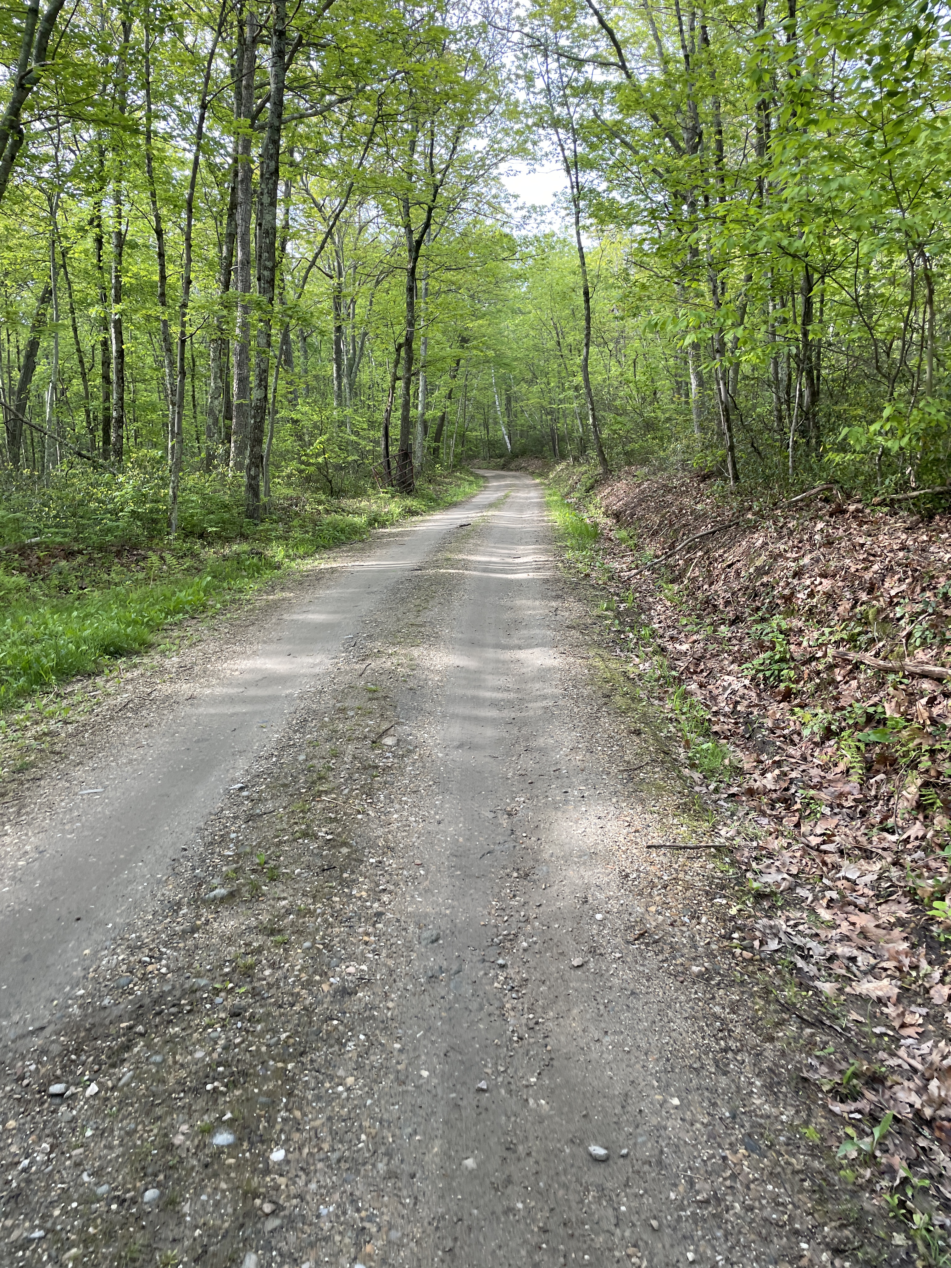
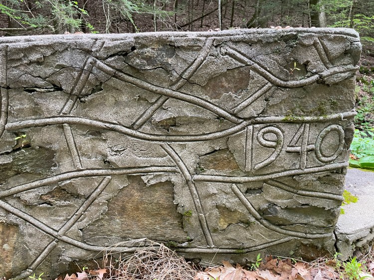
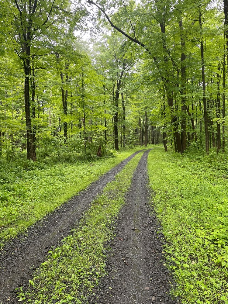
After some wiggles through Glastonbury developments, I made my way across CT Route 2 and into Meshomasic State Forest. The second state forest ever in the US, the area has housed everything from CCC Camps to a Nike Missile Base. The whole area is traversed by absolutely gorgeous forest roads, the main one being Del Reeves Road. Camping seems to not be allowed and the road apparently closes at sunset, but if you’re thinking of doing this route, you could probably get away with stealth camping in there, as long as you’re away from the road. At this time, the rain continued to come down, but it was nice to have some views and not need to contend with traffic. I continued south, eventually latching onto the Air Line State Park Trail, a former railway connection that got its name from the multiple viaducts, some of which are the longest in the country. Sadly they’ve been filled in, so you can’t see their beautiful structures. I stopped briefly in East Hampton, which is certainly one of the places I’d like to return to. It seems like a sweet town. But I continued on, dropping down to the Salmon River, which I followed for a while, seeing anglers and other recreationalists. I especially liked being able to cross (and take shelter in) the Comstock covered bridge, and then take the unmaintained section of Gulf Road, which carried me high above the river through dense forest.
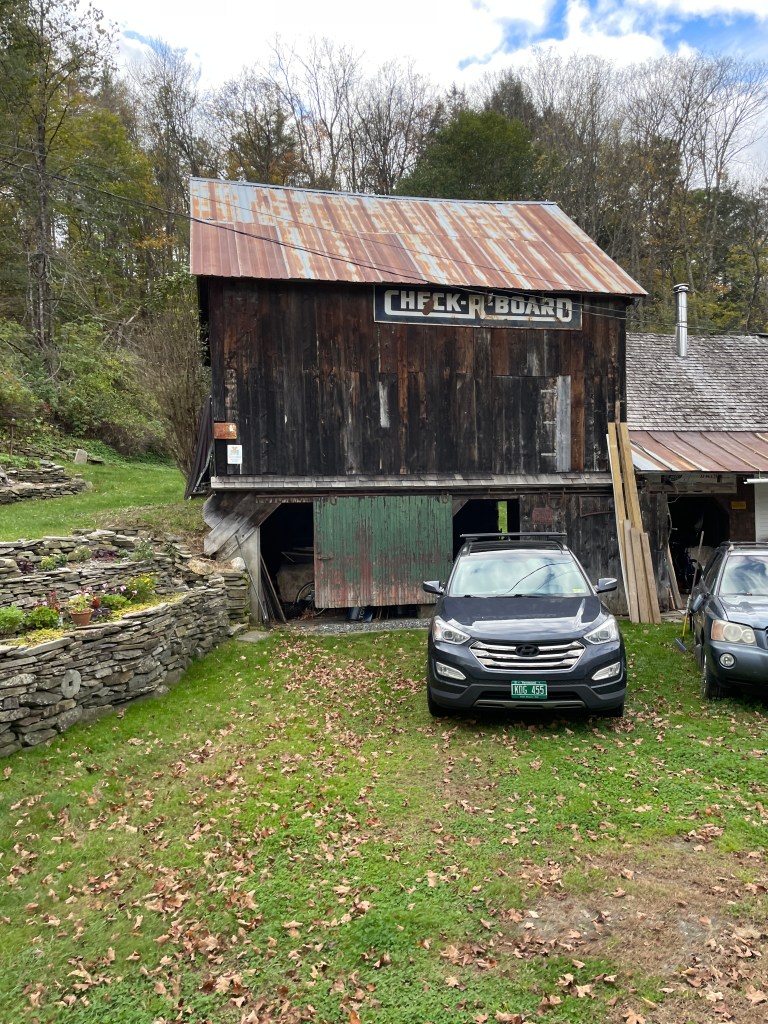
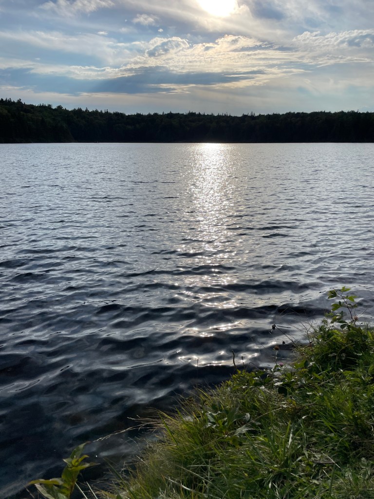
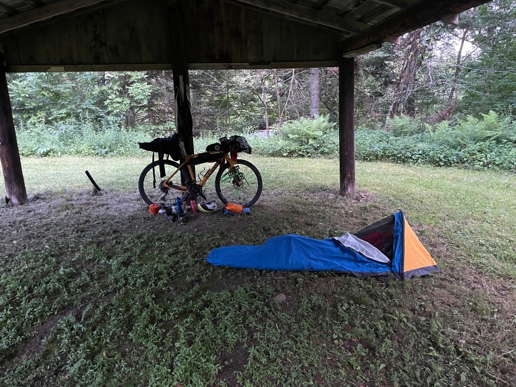
At this point, I began to parallel the Connecticut River and began to work my way into East Haddam. I passed through Johnsonville, the historic mill village/victorian ghost town/religious community. I opted not to drop down to the river to see the Goodspeed Opera House and newly rehabbed swing bridge. Instead, I stuck up in the hills and though I’d originally routed to go to Gillette Castle, I headed directly towards Ronnie Romance’s place. But even though I skipped it, you shouldn’t: it’s a wild-looking building with amazing views. Plus, there is a campground directly below it, on the river. But I pushed through the last few miles to get to Ronnie’s. He met me warmly and showed me into his “bike” barn. He provided me with a hose to rise off my bike, piping hot nettle tea and even some delicious fried dumplings. He’s just an incredibly generous and kind person. He had some work to do on one of his many bikes, so we chatted about land trusts and the history of the area as he replaced some bar tape. He was prepping his bike for the Tour de Lyme, a fundraiser for the Lyme Land Trust which was happening the next day and which he and his wife, Arya would not only be riding, but he also helped make the route. He also gave my route a few tweaks and kindly sent me an edited file. As my soaking clothes dried, I made my dinner and eventually settled into sleep, thankful for the benevolence of strangers and the roof over my head.

Hartford skyline 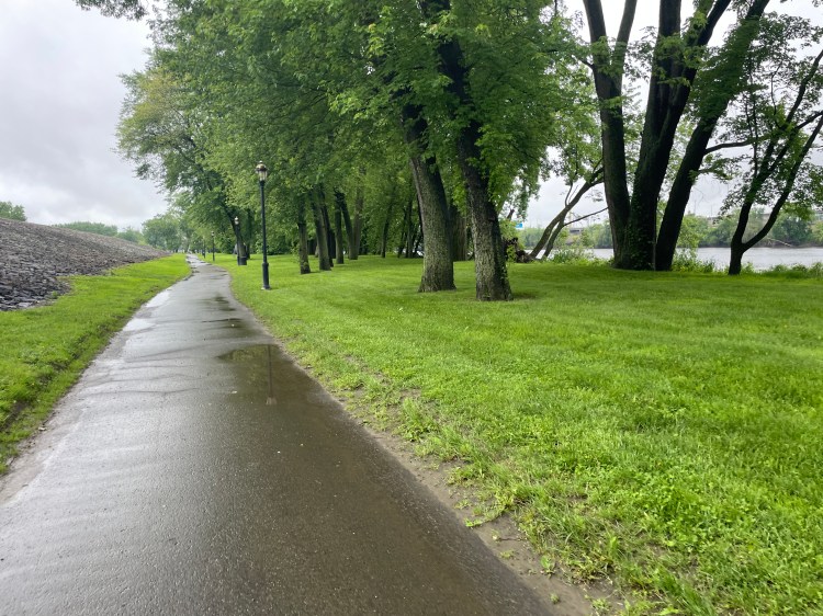
The beginning of a long series of paths 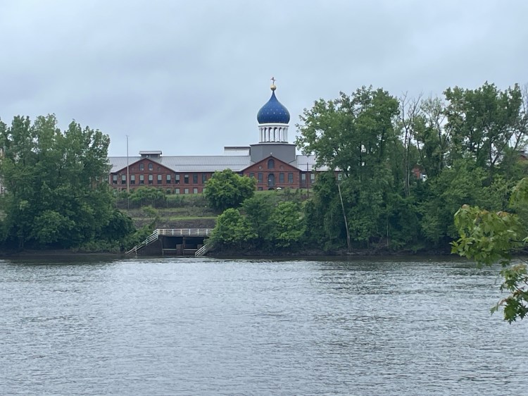
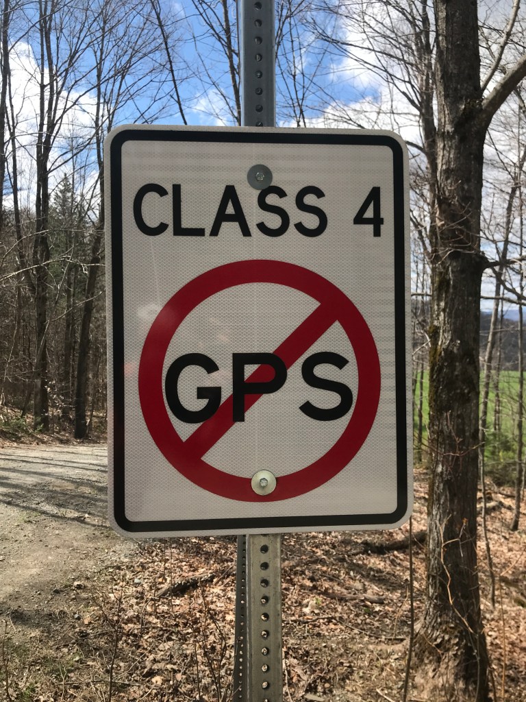
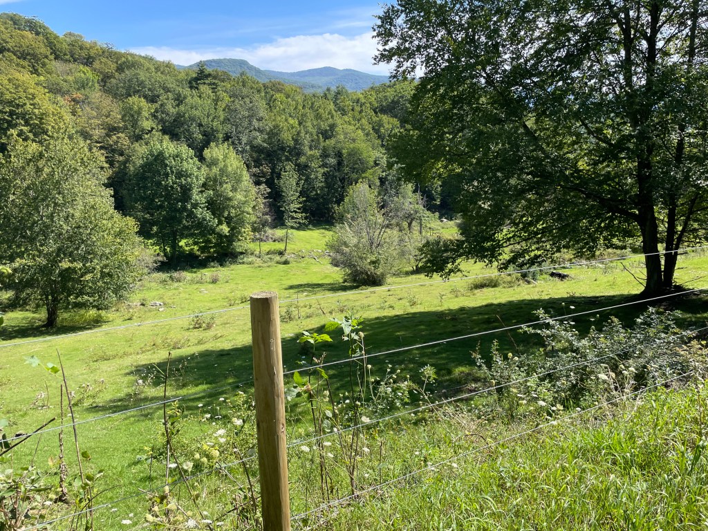
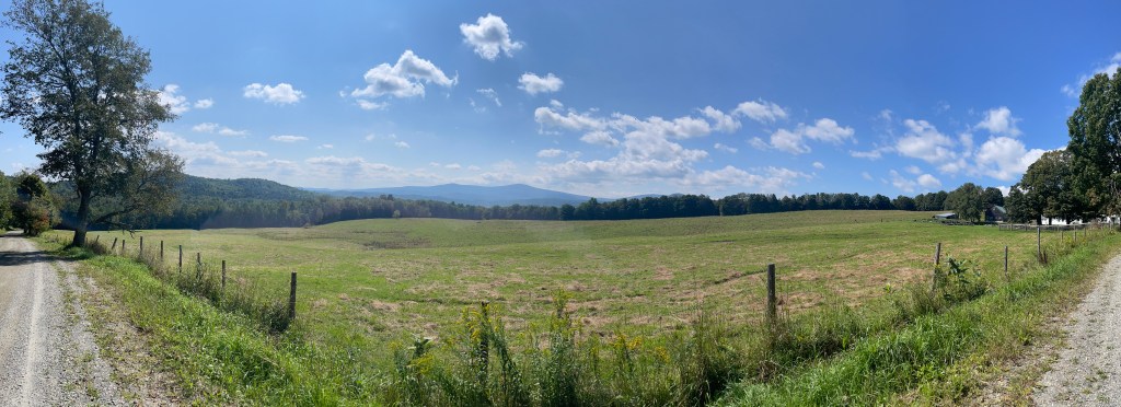
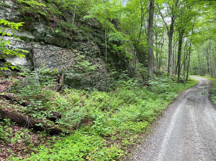
East Armory and its iconic dome 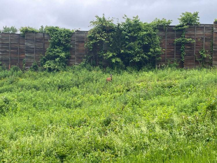
Hello dear friend 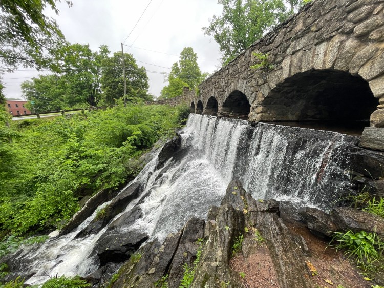
At the base of Case Mountain 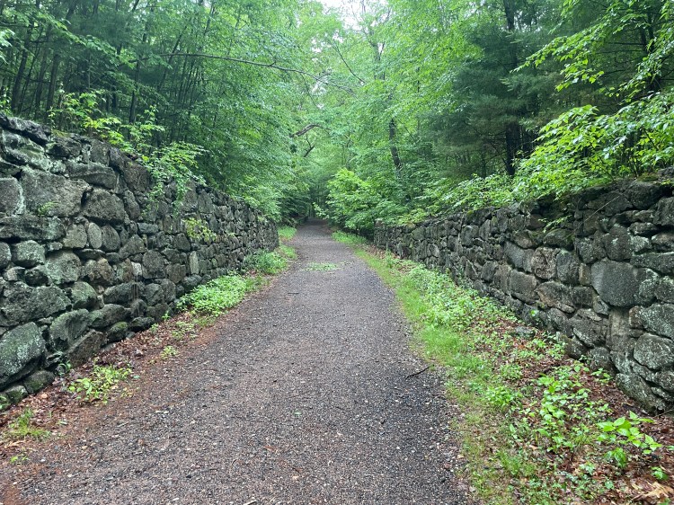
Carriage trails 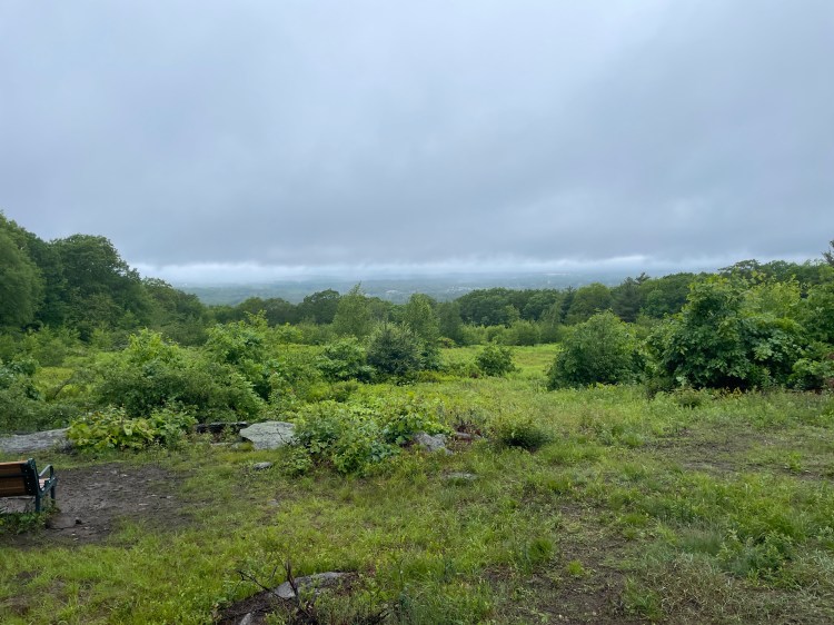
A view all the way to Hartford would have been nice. 
The last little section of Carriage Trail 
Some of the better single track 
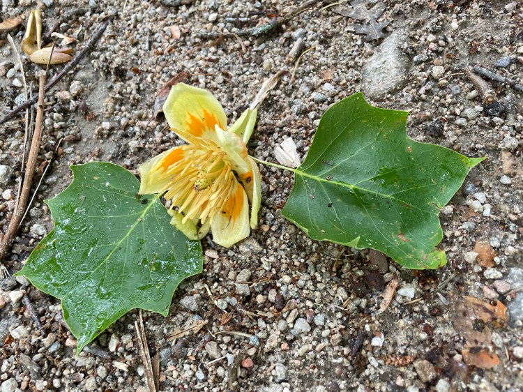
Mountain Laurel 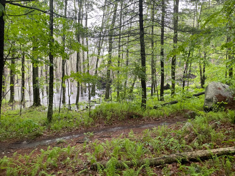
Absolutely tipping it down 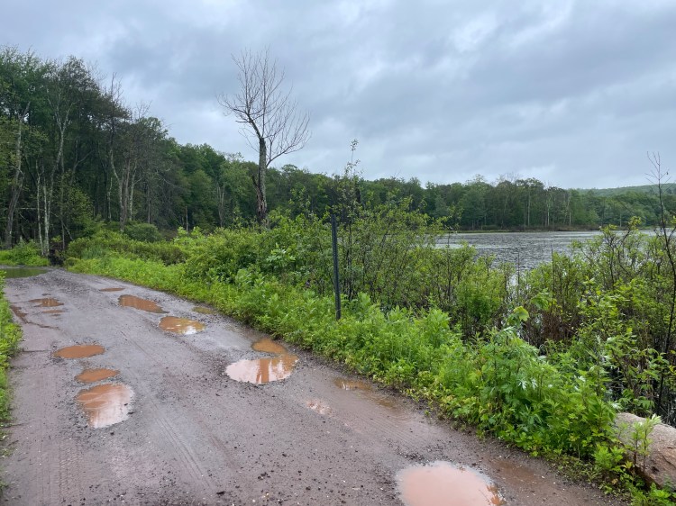
Del Reeves Road 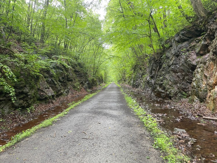
Air Line Trail 
Inside Comstock Bridge, putting on a dry jersey 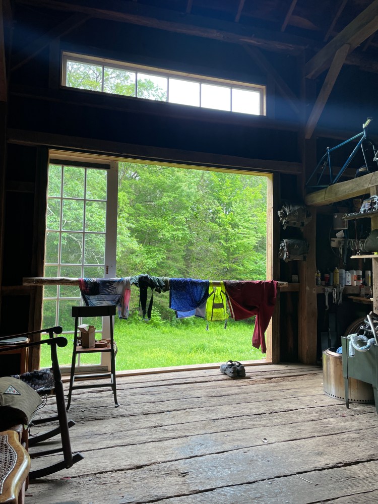
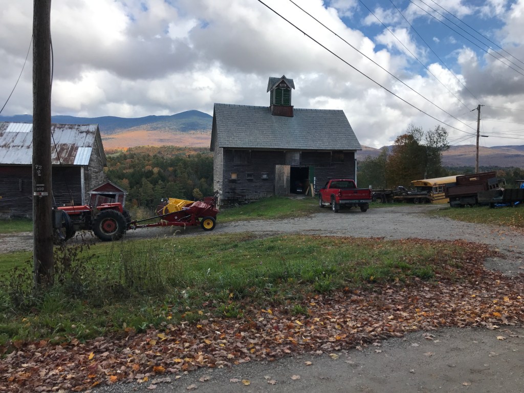
A perfect home for the evening
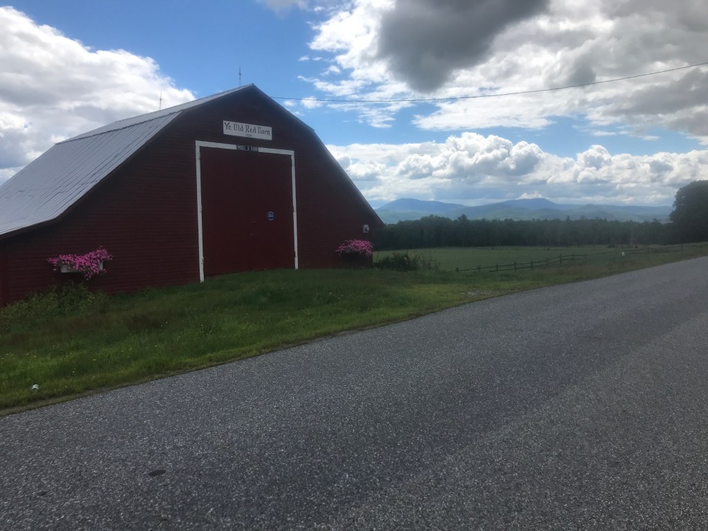
The next morning, I got up to head out assuming that Ron and Arya had already begun their ride to the Tour de Lyme start. But they both popped out (wearing lovely, almost matching robes) to say good morning and let me know the TdL route goes right by their place, so they decided to sleep in and join the ride as they pass. I thanked them again and wished them all the best, heading down to the Hadlyme Country Market for breakfast. I was hoping for a breakfast sandwich, but they don’t have a grill, so a bagel with cream cheese would suffice. They also don’t have a public restroom, but generously let me use the staff one. As I sat on the porch with a nice guy who said he’s there regularly. We just watched the town go by and as we chatted and sure enough we saw many cyclists making their way to the ride’s start. And as I left, two fellow world-watchers showed up to continue the chatting. As I made my way back up into the hills, I was very happy for the route tweaks: these roads really are special. A fair number are paved, but there’s plenty of dirt and minimally traveled connector roads too (I couldn’t find what CT calls Class 4 roads). Mitchell Road was particularly gorgeous. I eventually reached CT 82 which I took to the end of CT 11, a divided highway that was only partially built and has some neat abandoned rock cuts that would be worth exploring if you have more time. I stopped for a break at Salem Valley Farms Ice Cream. It was a bit early for a sweet treat (plus they were closed), but it was nice to enjoy the sun in an Adirondack chair. I continued onto a suggested reroute and saw my first Tour de Lyme riders. They were going the opposite way, so it was fun to see a bunch of them, waving at each. After a short bit of that though, I turned into the forest to begin a long section of woods riding.
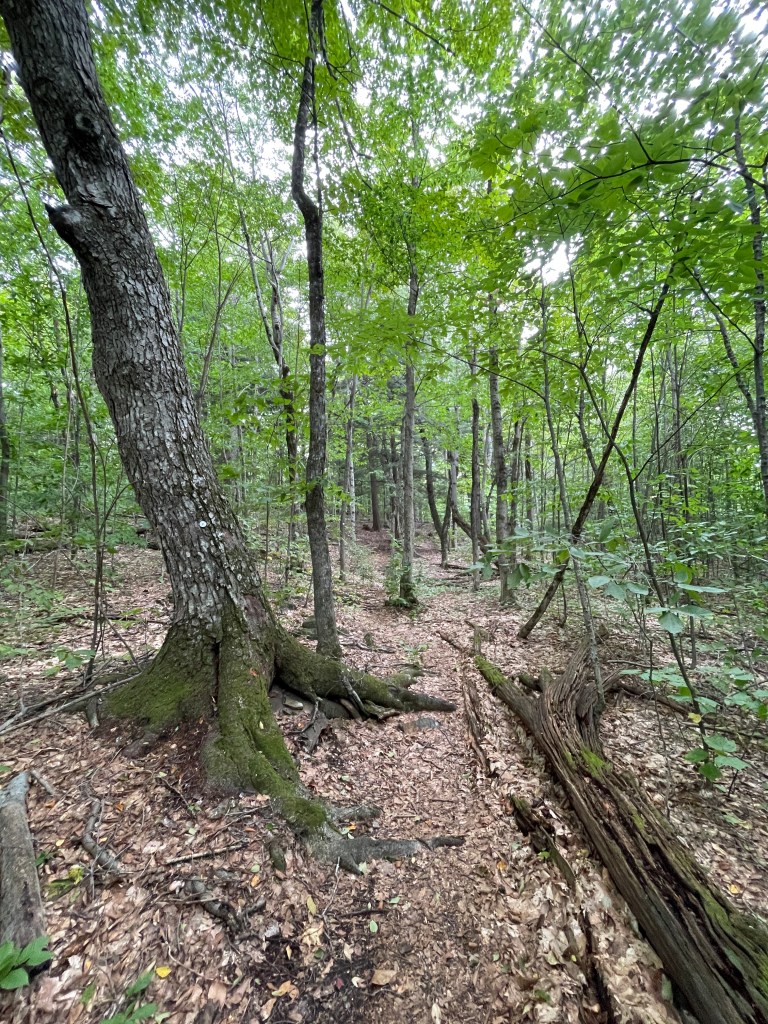
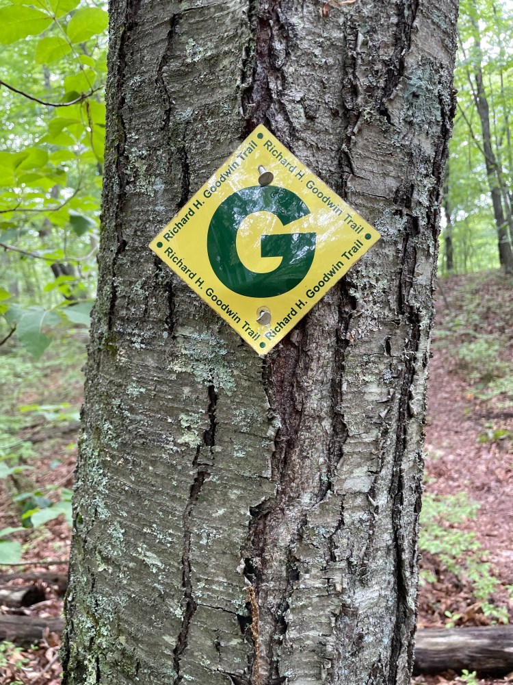
The 13-mile Goodwin Trail begins in East Haddam, but I would be jumping on east of that. Right off the bat, I knew I was in for some hike-a-bike. The narrow trail had exposed granite blocks, much like the Shenipsit Trail the day before. It wasn’t exactly technical, but with a loaded down, rigid drop bar bike, I was pushing quite a bit. But a fun surprise was that there is a Tour de Lyme Mountain Bike, which covers many of the trials in the area, so I wasn’t alone! Obviously I was passed quite a bit and folks were a bit confused as to why I was choosing to be in there, but there was a great camaraderie among us. Soon though, their route peeled off south and I continued on the Goodwin trail, reaching the Homes Road trail head, after some wet crossings and marginally better trails. From that trailhead, the trail followed a forest road and the riding was much smoother. In fact, for the final CTXL route, I opted to cut out the first bit and instead come onto the Goodwin from Holmes. The route remained a double track, but with some rougher sections. However it was rideable for the vast majority of the stretch. I eventually reached the end of the Goodwin Trail at an open meadow which was flanked by an enormous oak tree (that some hardy volunteers recently freed from being taken over by bittersweet). From there I had a little bit of trail to ride, then experienced a stark change of scenery: popping out into a McMansion development after having spent the last 10 or so miles in the woods.


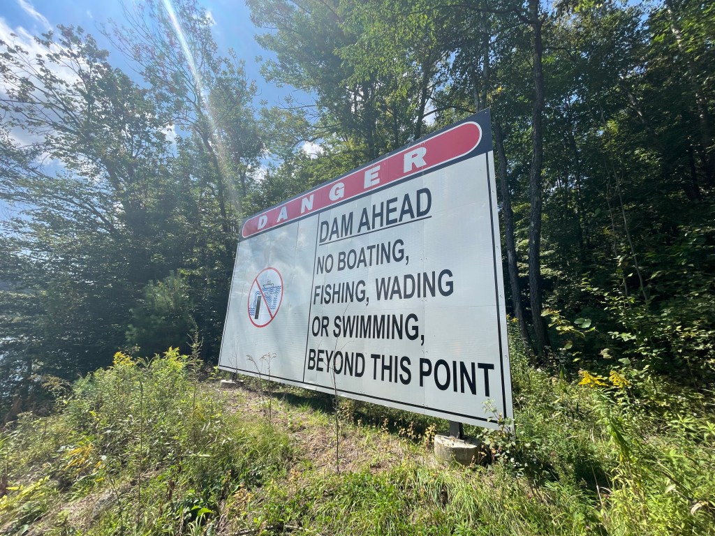
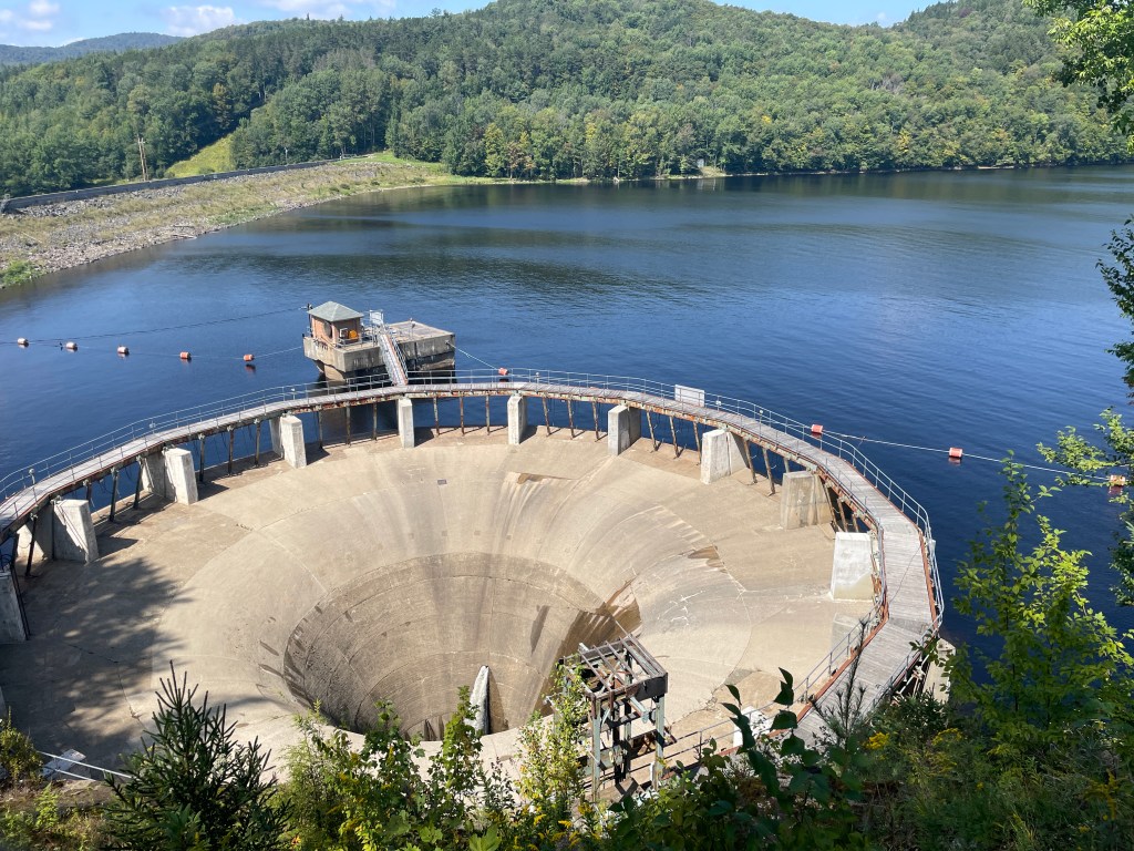
I then traversed a sprawling shopping mall complex and crossed I-95 by way of Route 1. Heads up through this area as there’s a lot of traffic and the road makes you feel like you’re on an onramp. It’s all a bit hairy, but soon I was back in the woods: riding a trail in the Oswegatchie Hills Nature Preserve and the forests north of it. It was here that I got my first glimpse of salt water: the harbor mouth of the Niantic River. There were lovely views through the woods to the water and I only had to hop off the bike a couple of times. I then entered the town of Niantic and feeling hungry, Googled “Deli” and happened to be right next to Hartford Giant Grinder. So I swung in and ordered a “half” buffalo chicken and proceeded to only be able to eat half of it. Thank goodness I didn’t opt for the full! After stashing the half of my “half” and filling my bottles, I cruised down to Main street. Sadly, Niantic is cut off from its waterfront by the busy rail lines. There is a boardwalk and beach, but it’s only accessible from either end. That being said, it’s still a lovely looking town and I was happy to be following the coast for a bit. I had to take a wide berth around the Millstone Nuclear Powerplant, but then cruised by some coastal gems I’d have explored if I had more time. Seaside State Park, Harkness Memorial State Park, the Eugene O’Neill Theater Center, Waterford Beach and Ocean Beach Park are all worth considering. Riding around New London Harbor towards the Harbor Lighthouse, I was really enjoying the coastal vibes.
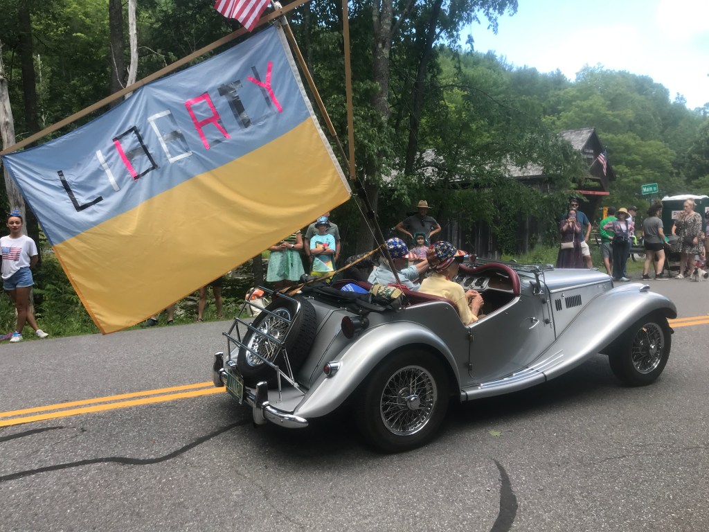
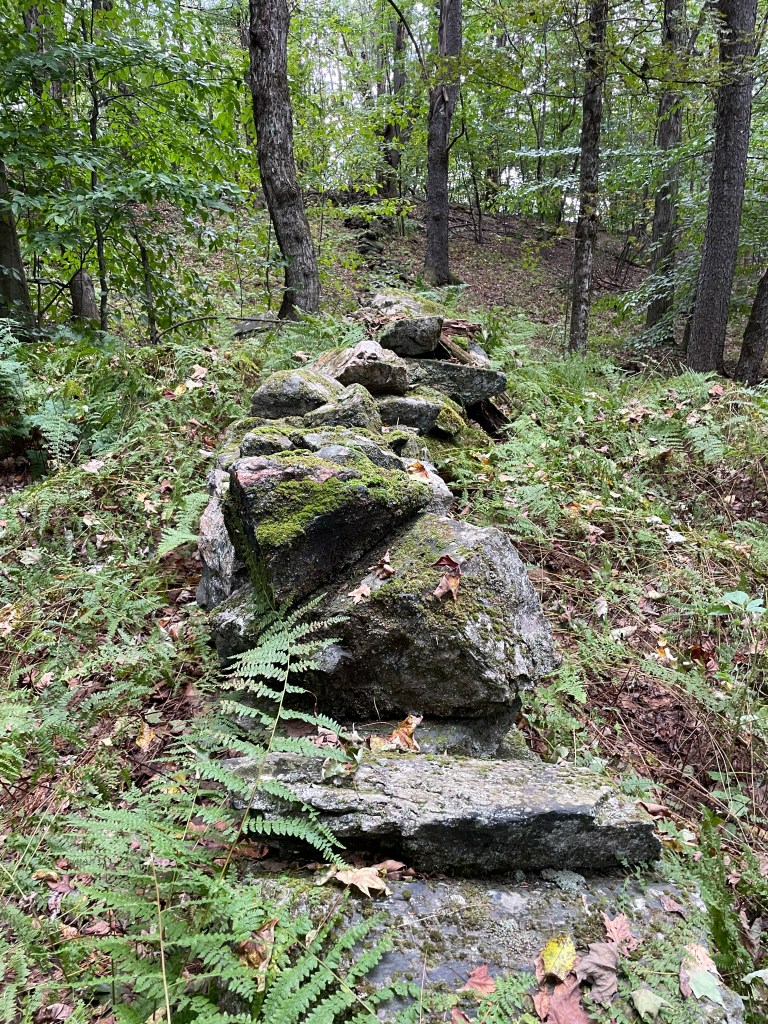
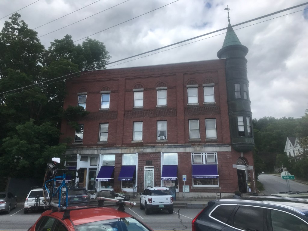
I soon worked my way into New London and entered Fort Trumbull State Park. My initial plan had been to take the Water Taxi from there over to Groton. But the night before, I sadly discovered that the taxi wasn’t starting until the next weekend. So I had to do a detour up onto the noisy, narrow bike/ped shoulder of I-95 and work my way across the river that way. The taxi would really have been nice, so if you can time your ride to reach New London on a Saturday or a Sunday between 11:00am and 6:00pm, I’d recommend it. I then worked my way down into the northern reaches of Bluff Point State Park, yet another great option for detours. There are tons of trails crisscrossing the peninsula. After paralleling the rail lines again for a bit, I took a pedestrian bridge over the Haley Farm State Park. More trails and stone walls built out of enormous rocks were the name of the game here. Eventually I crossed a road and entered the Mortimer Wright Preserve. When making the route, I was doing my best to avoid roads, especially busy ones and this option looked pretty good. However, once getting into there, it was more chunky single track that was marginally rideable on my bike. It was just a bit much at this point in the ride, so in the final route, I cut it out and you just cut towards Noank and take Route 215 up into Mystic. When I got to Mystic, I didn’t understand why there was so much traffic and as I weaved up towards the main 4-way stop, I realized that the bascule bridge was up! Not only that, but it perfectly started lowering as I got up to it. Unfortunately, I didn’t get any good shots of the bridge, its enormous counterweights, or have time to spend in town. But Mystic is certainly on my “must return to” list. From there I worked my way over to Stonington, enjoying its gorgeous architecture and even an MG “Midget”! I passed by the town’s diminutive lighthouse and ended on its blustery point, happy to have finally ridden this route I’d been tinkering with for months!

First salt water 
Truly giant 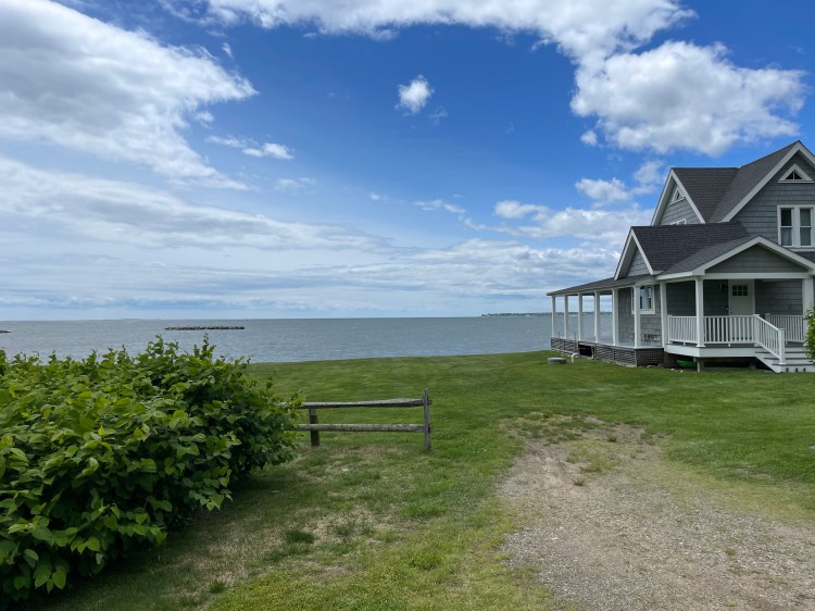
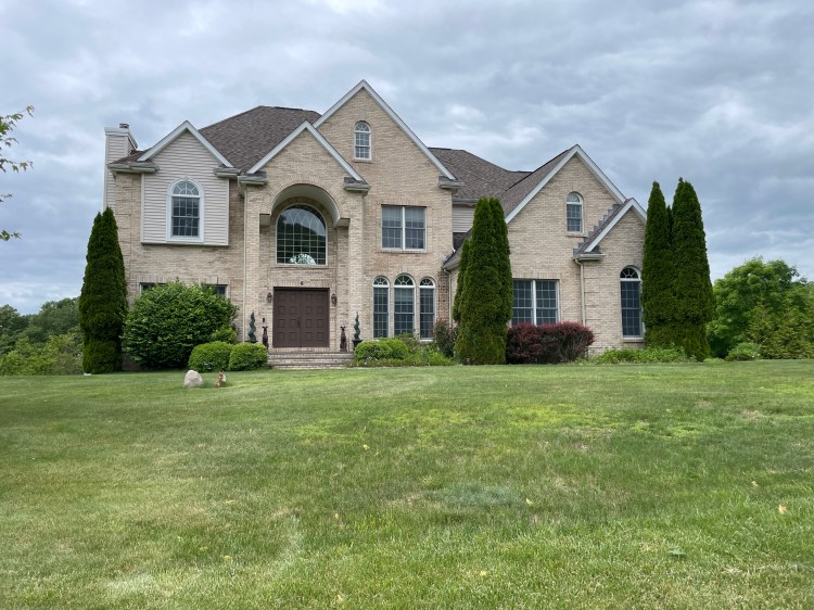
The house is perfectly blocking a view of the nuclear plant 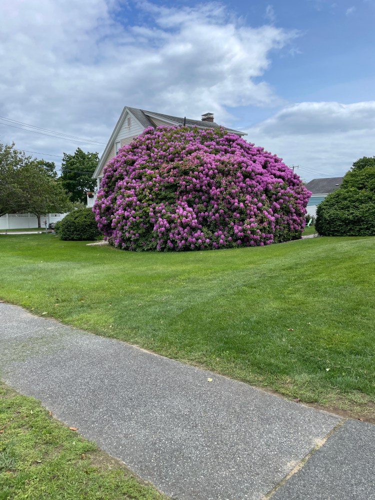
The world’s biggest Rhododendron? 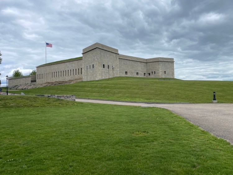
Fort Trumbull 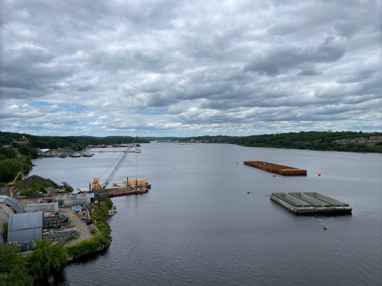
Not pictured: the crush of I-95 traffic mere feet away 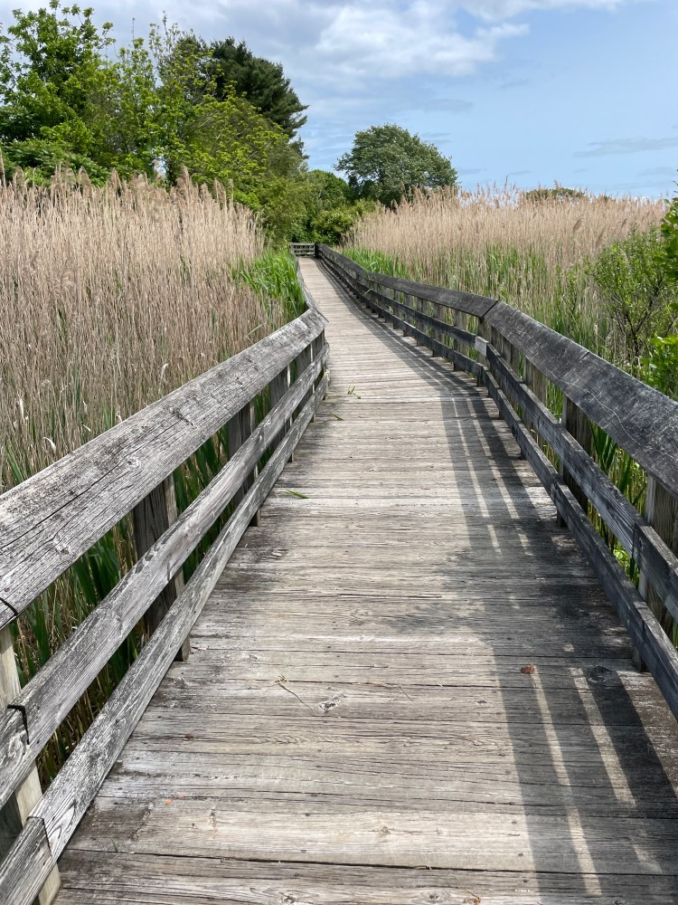
I wanted to ride this at mach 5 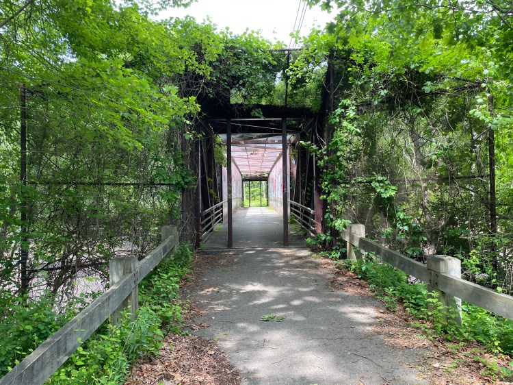
Pedestrian bridge over the tracks 
‘Uge stones 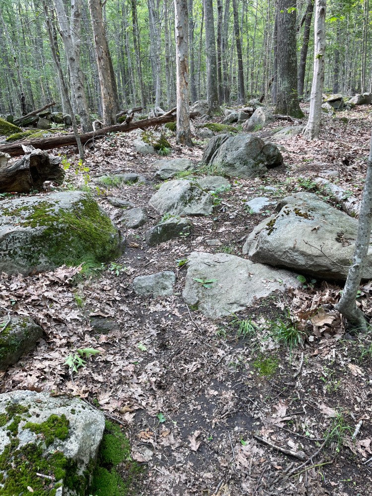
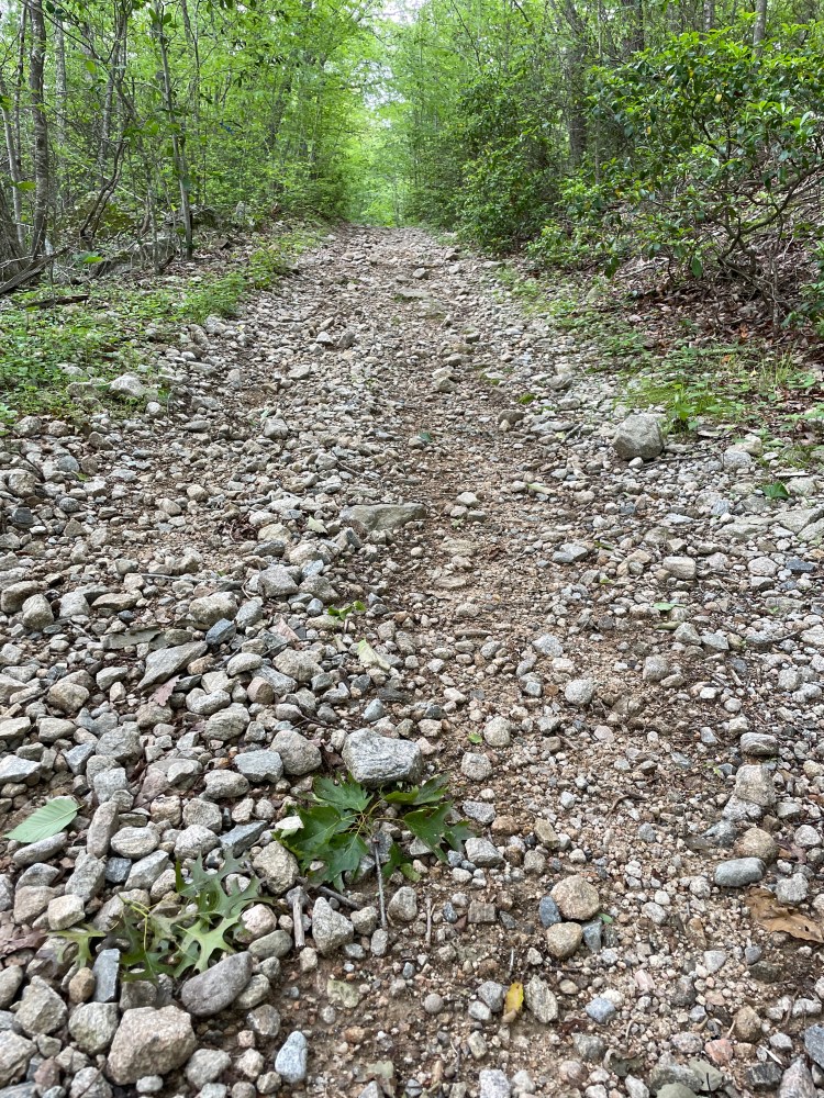
Typical Connecticut singletrack 
Hop 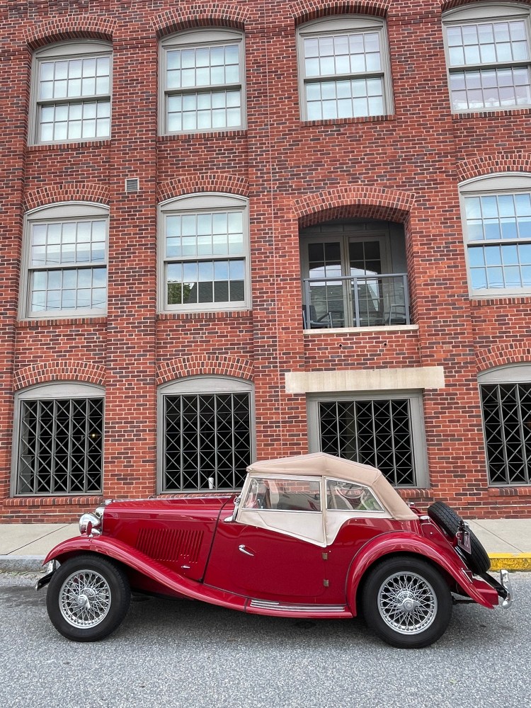
A classic 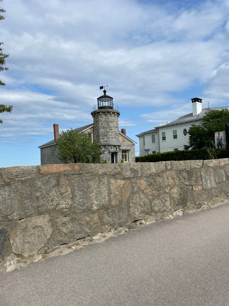
Stonington Light 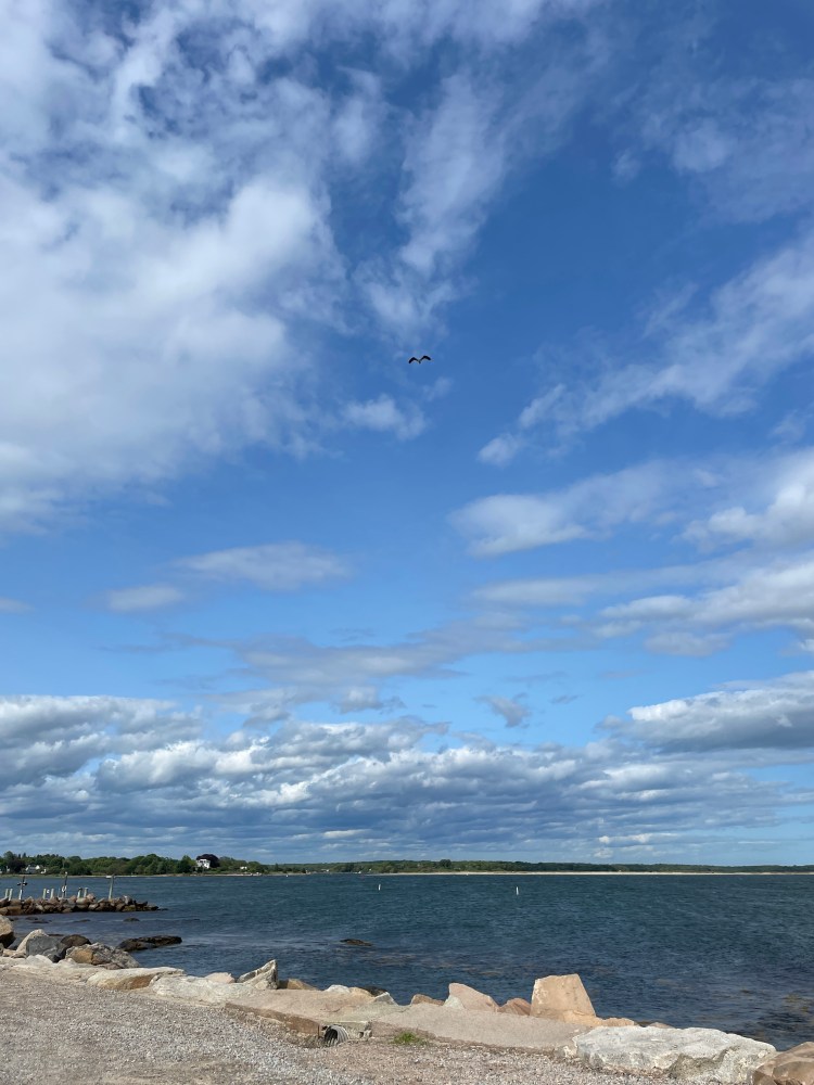
At the finish line
Overall, it was such a joy and privilege to do this ride. I had such a blast. Thanks to everyone who made it possible and thanks for reading through all this. If you want to ride the route, I’ll happily provide any support I can. Enjoy the ride!
The Route:
Here are the days as ridden. Click to be taken to the Strava page for each.
- Day 1 – (85 miles, 6798 feet of elevation)
- Day 2 – (67 miles, 5259 feet of elevation)
- Day 3 – (61 miles, 4498 feet of elevation)
And here is the full route with post-ride edits (I tried embedding it, but WordPress doesn’t seem to like that):