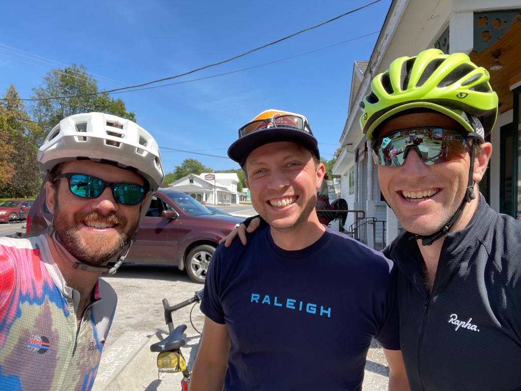
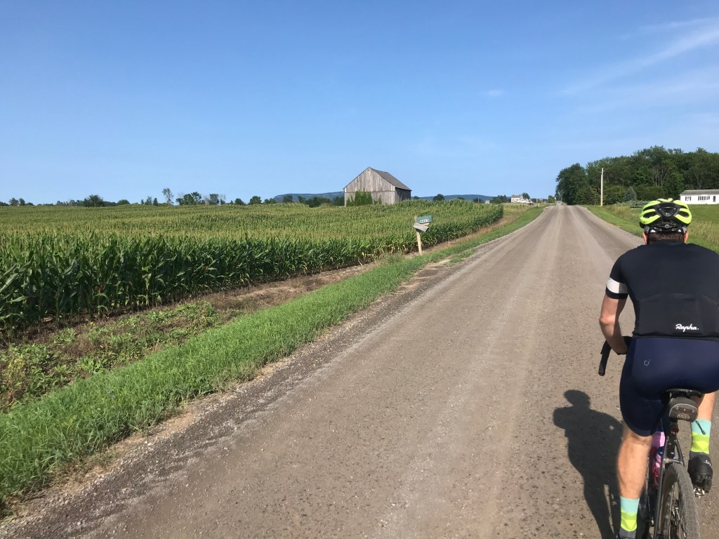
Last summer I rode my first century (AKA 100-mile ride) and it had been a goal to do another this year. The recent weather hadn’t been cooperative (read: super hot and sticky) and I also have been much busier than last year. But the stars aligned and Brad and I had an absolute gem of a day to pull off a long ride through the rolling farmland of Addison County. The route actually began as two separate rides, but thanks to major inspiration from a ride of Brad’s from this spring and a few other tweaks, I was able to stitch together a pretty nice route that didn’t require too many weird twists and turns to get every town I wanted (all 15 of them!). Plus we were able to fit in many of the choicest dirt roads too: a feat not always possible when checking off towns is the priority.
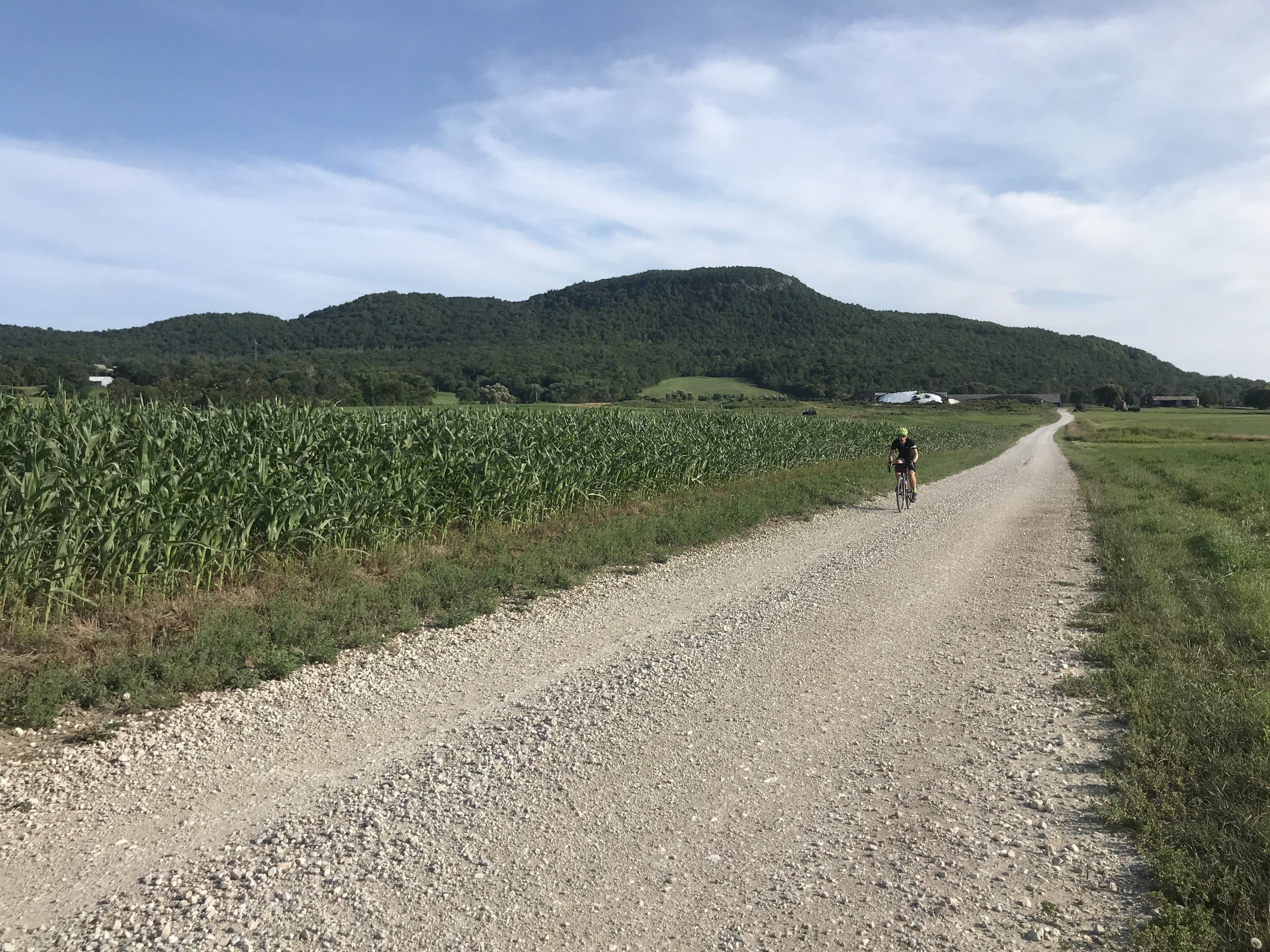
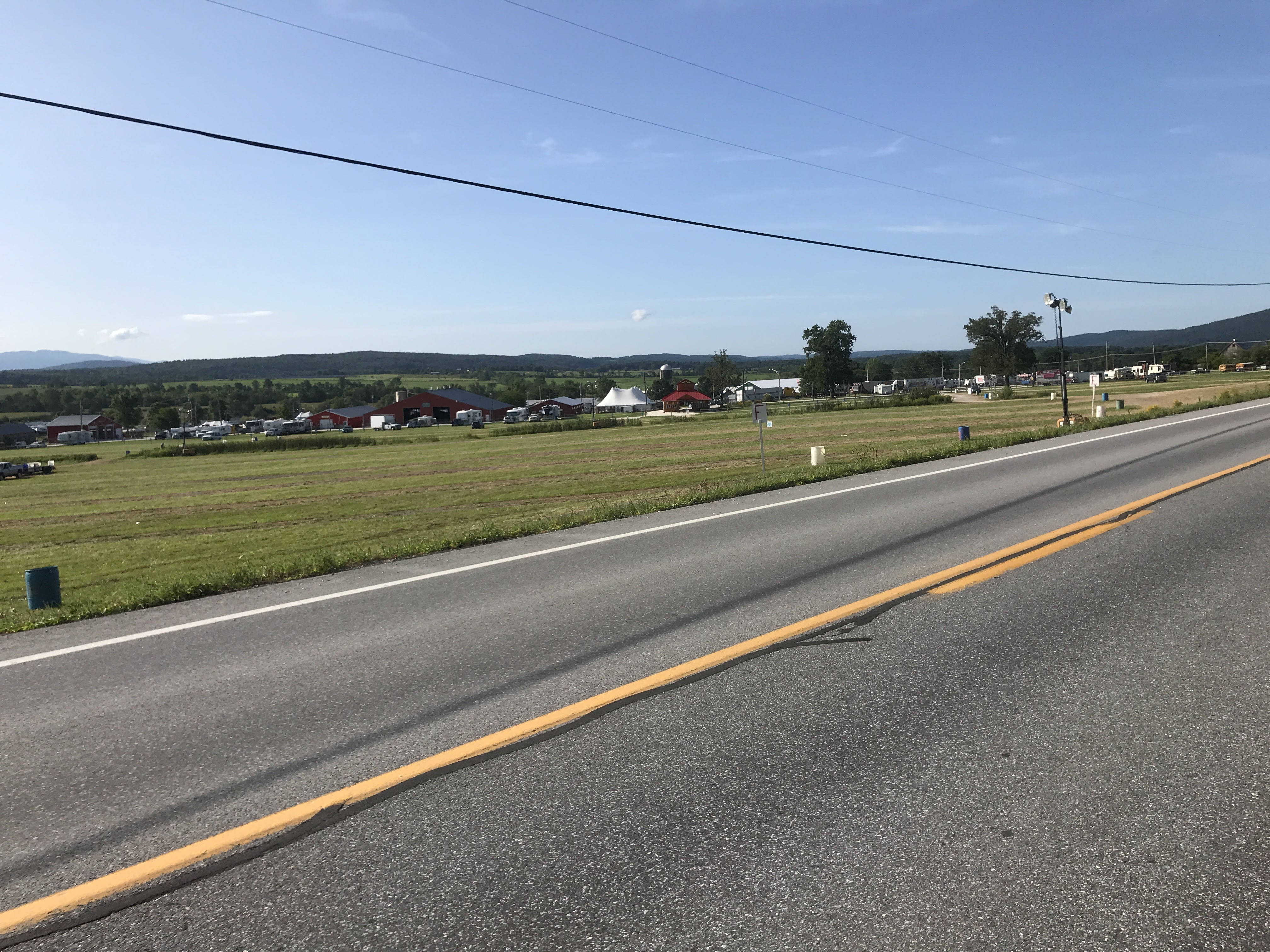
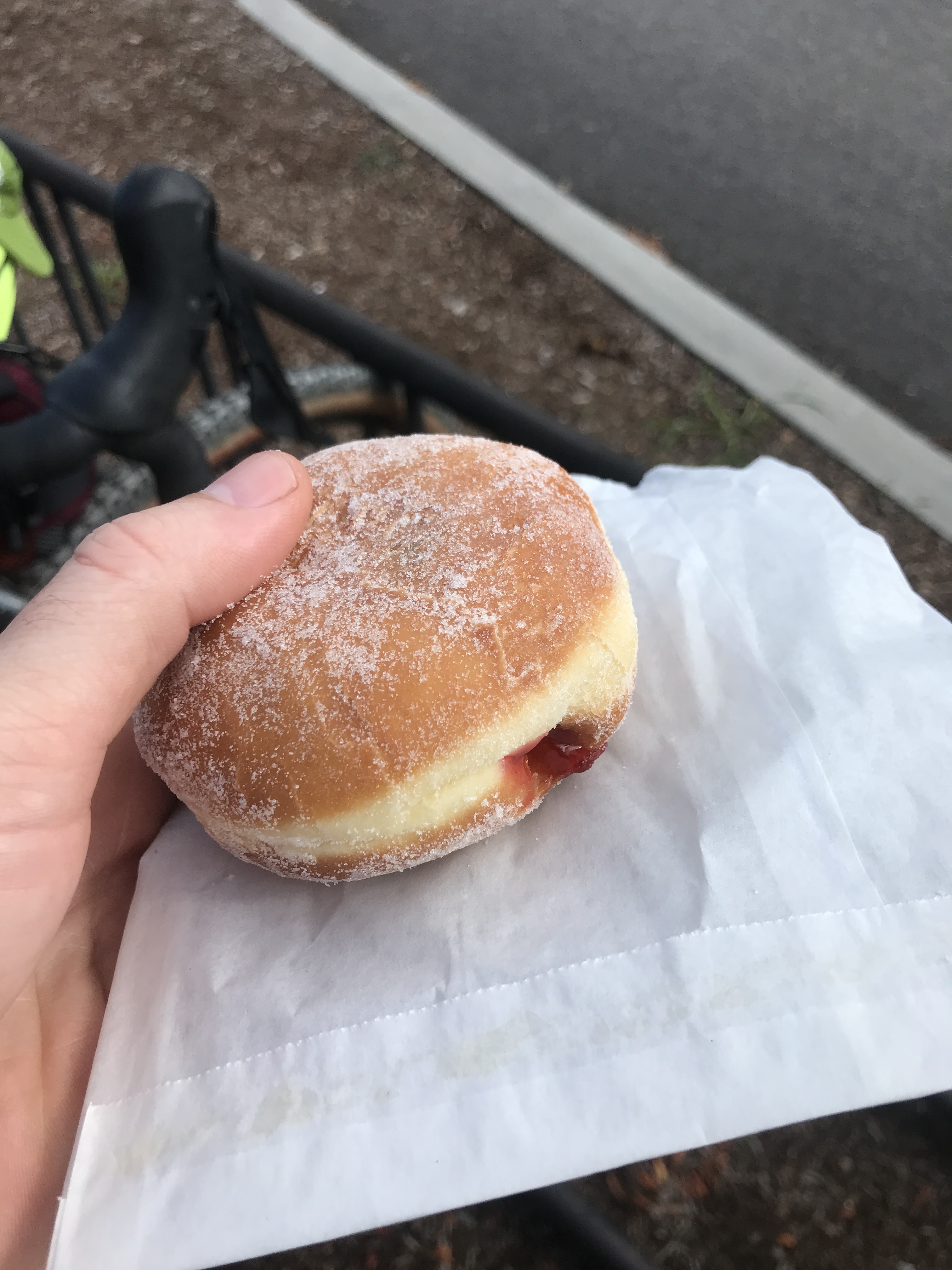
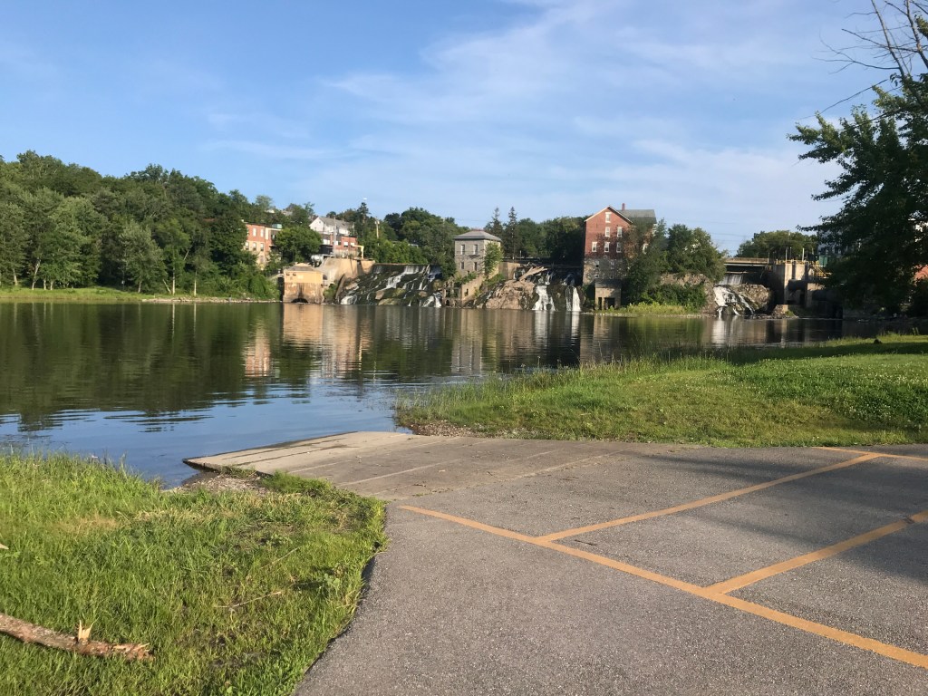
We began around 8:00 in the little city of Vergennes (2 square miles and a population of only 2,700). It developed as a mill town that now perches above a set of falls in Otter Creek. I’ve been familiar with the city for many years, as it sits along the route I’d travel on my way home since college at UVM. They’ve had their share of small town drama, which tends to come no matter how you’re incorporated. But it’s a beautiful place with some great restaurants: from the old guard and the très chic to the reliable, everyday places. We began at Vergennes Falls Park under clear skies and with a fall-like coolness in the air. After gearing up, we headed out on Canal Street towards Main, under the flying walkway that connects the former Haviland Shade Roller Mill and its one-story Annex which have sadly sat empty for years. We then took a quick right onto South Water Street, then onto Maple Street. We could have continued south on Maple, but I really wanted to ride past the Addison County Fair and Field Days (even though it ended the day before). It also meant that we got to ride on “State Route 66”. No not THAT Route 66, and not even VERMONT Route 66. But a road simply called “Route Sixty Six”. It was a nice dirt detour over to Green Street which is a popular route for road biking. We then met with Route 17 which carried us down past the remnants of the Field Days. The rides and animals were already gone and there were only a few folks and vehicles milling about. We took 17 back across the Otter Creek and then turned back south onto tiny little Route 23, then onto Snake Mountain Road. Snake Mountain is an inselberg or monadnock. The term refers to mountains or hills with significant prominence above a surrounding flat area. In fact, it actually used to be an island when Lake Champlain’s water level was significantly higher. It even was the site of a hotel which burned down and is now a great place for a quick hike on the old carriage roads that used to service the hotel. We skirted its eastern flanks and enjoyed some lovely views towards the low sun. We eventually reached Route 125 which took us up and out of the valley and on a straight shot into Middlebury. We moved quickly through the Middlebury College campus and into the downtown. Even though we’d only gone about 20 miles, we had already checked off six towns and were ready for a break. Unfortunately Haymaker Bun Company is closed on Sundays, but Middlebury Bagel provided a nice alternative. Our next true stop wouldn’t be until mile 60, so we each got a baked treat and rested up.


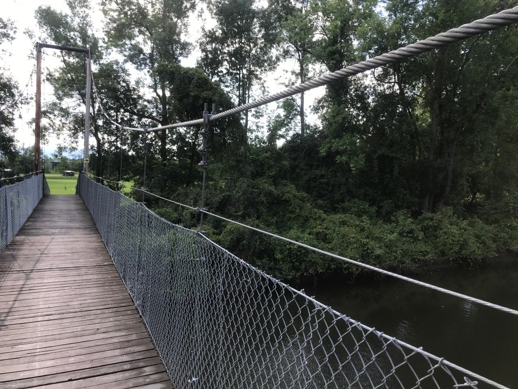
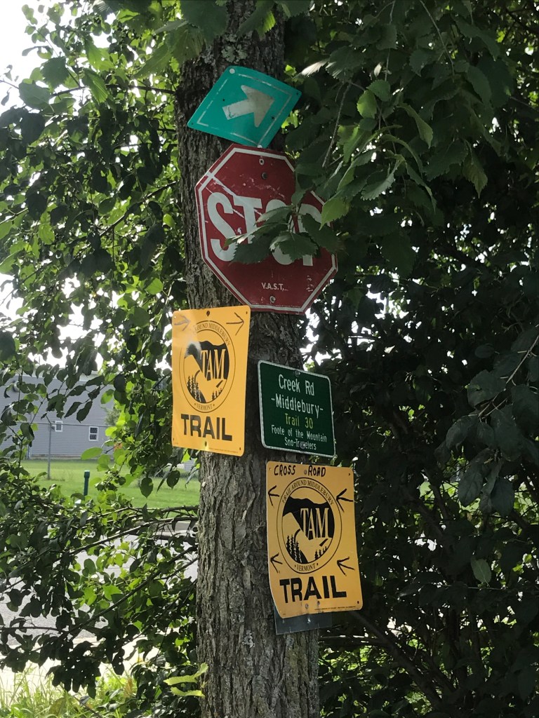
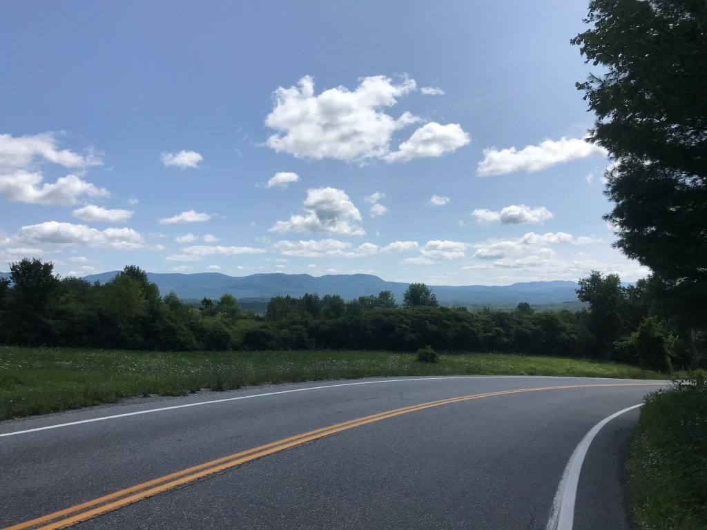
In deciding how to get out of town, I wanted to ensure we got on a little dirt, so I chose to sneak in a little bit of the TAM (Trail Around Middlebury). It’s a mixed-use trail that…well I’m sure you can guess where it goes. Bikes aren’t allowed on all of it, but there’s a section that goes from Middlebury campus across the Otter Creek and onto Creek Road, a quiet dirt track out of town. We headed that way and turned onto the path right past the Middlebury baseball team- GO PANTHERS! Or moose? We skirted around the fields crossing the creek on a small suspension bridge, going around some more fields where there was a pick-up soccer game going on. These Middlebury folks are active! We stuck to the east side of the Creek with mainly corn as our other accompaniment. We were still in Middlebury, but the agricultural theme was back in force. There’s a lot more to Middlebury than the downtown and campus. We continued south on Blake Roy Road and crossed into Salisbury. I’m not quite sure who this Blake Roy is, but it could have possibly been the former markets inspector for the Vermont Department of Agriculture and rumored inventor of the maple creemee! He lived in Rutland County, so you never know. The view from here was a nice change of mountains. Instead of the Adirondacks, we could gaze at the Greens, specifically the peaks above Lake Dunmore. We turned west and had a short climb on which we crossed paths with a group of cyclists representing almost every type of bike: e-bikers just cruising in shorts and t-shirts, a road rider all decked out in his matching kit, but the best part was a dude on a folding bike in full tucked position, squeezing every ounce of speed out of that thing. We were psyched. We took a quick roadside bathroom break, but didn’t linger, thanks to ferocious mosquitos. I’d read they would be bad in the area, and that was certainly proving to be true, at least when we were stopped. So onward we pushed.
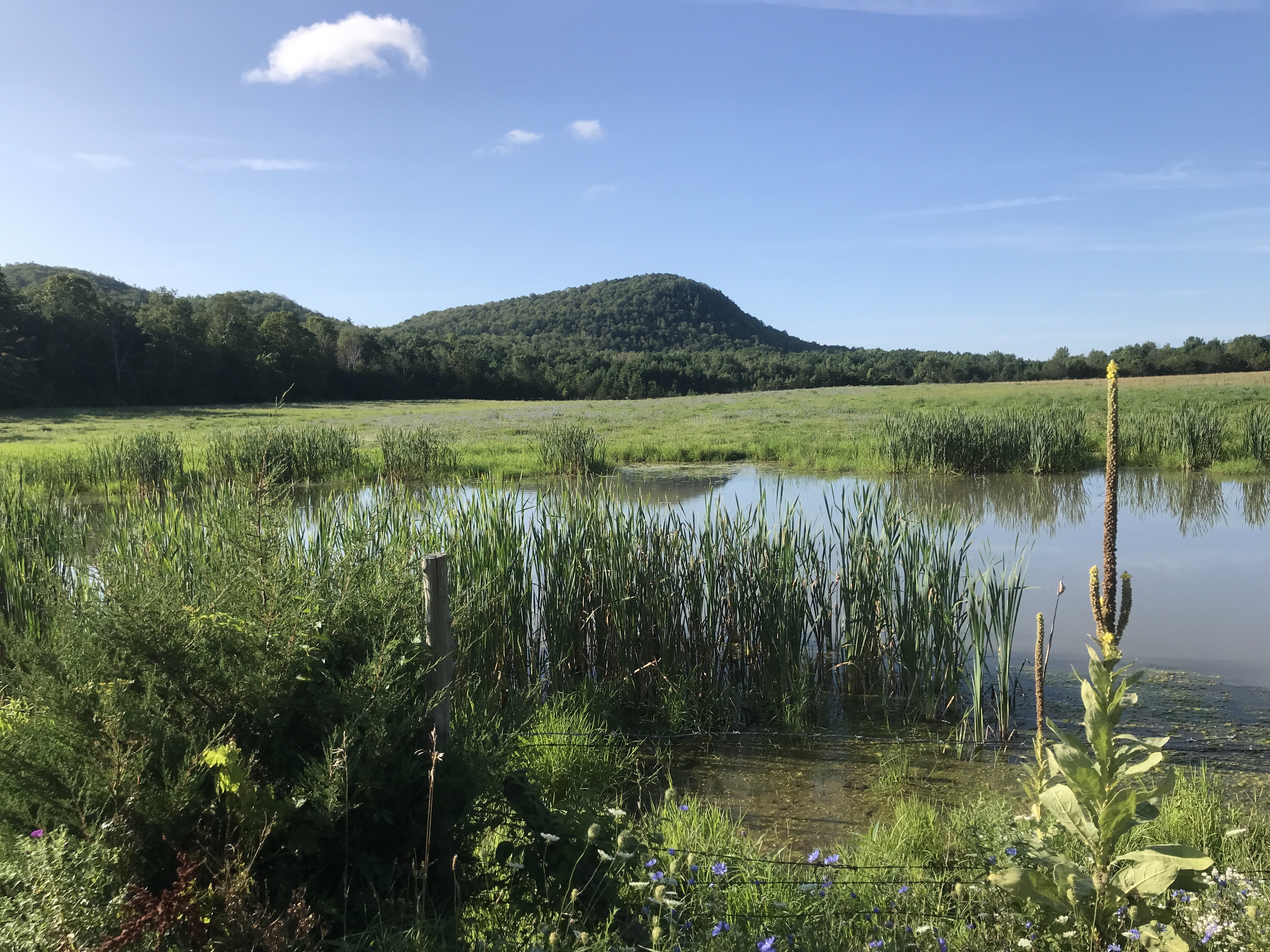
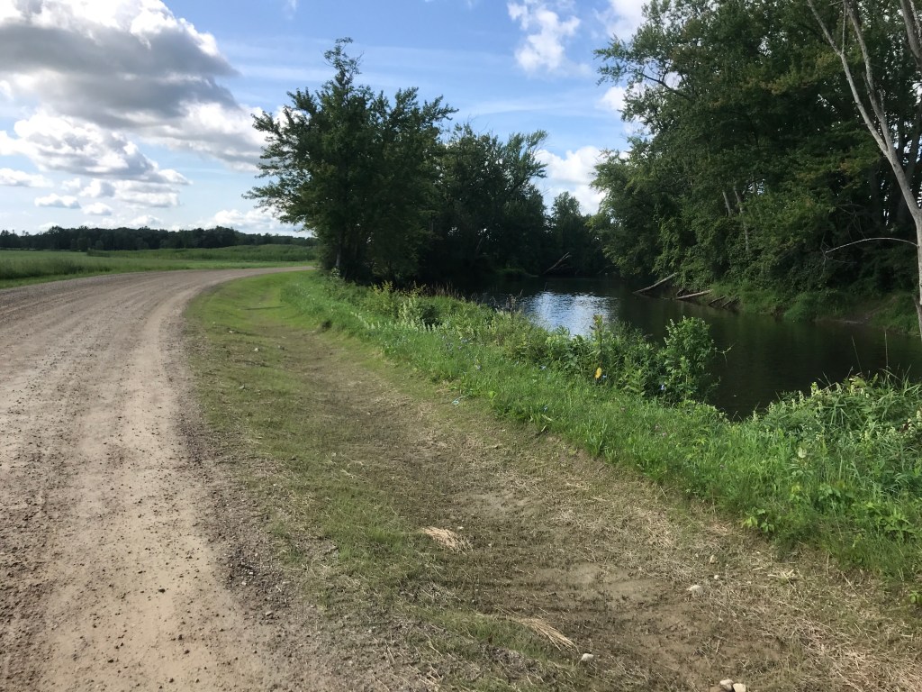
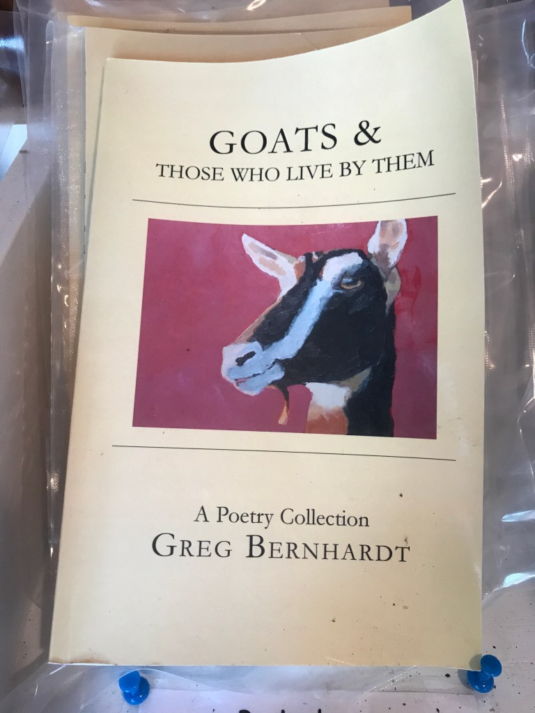
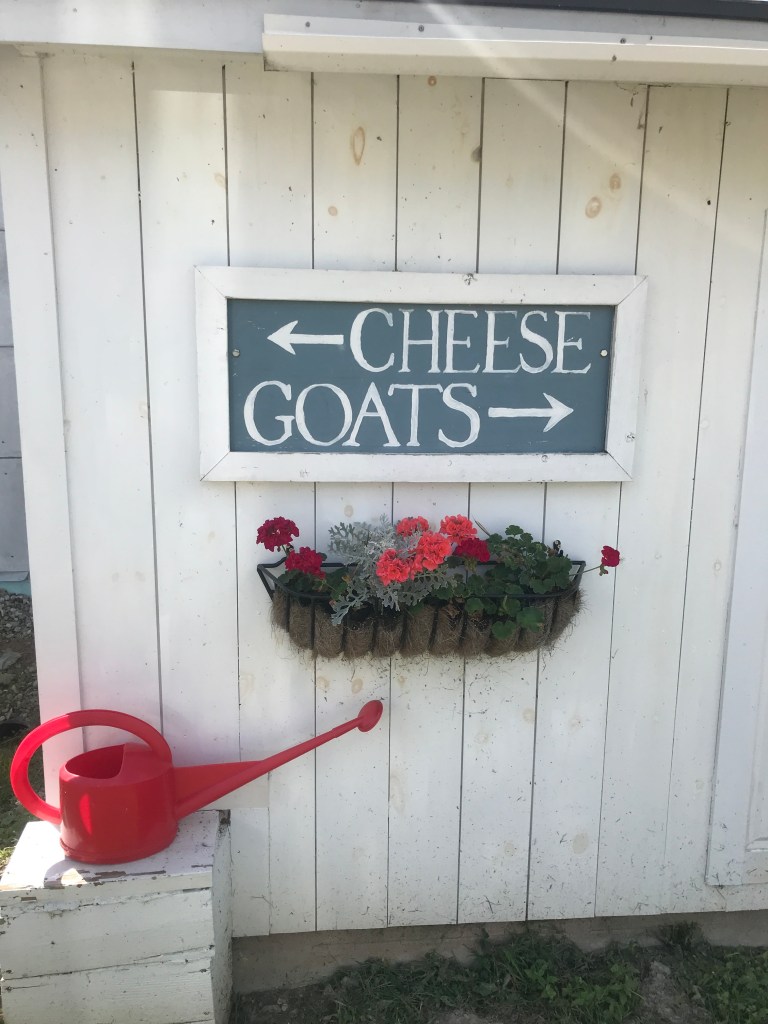
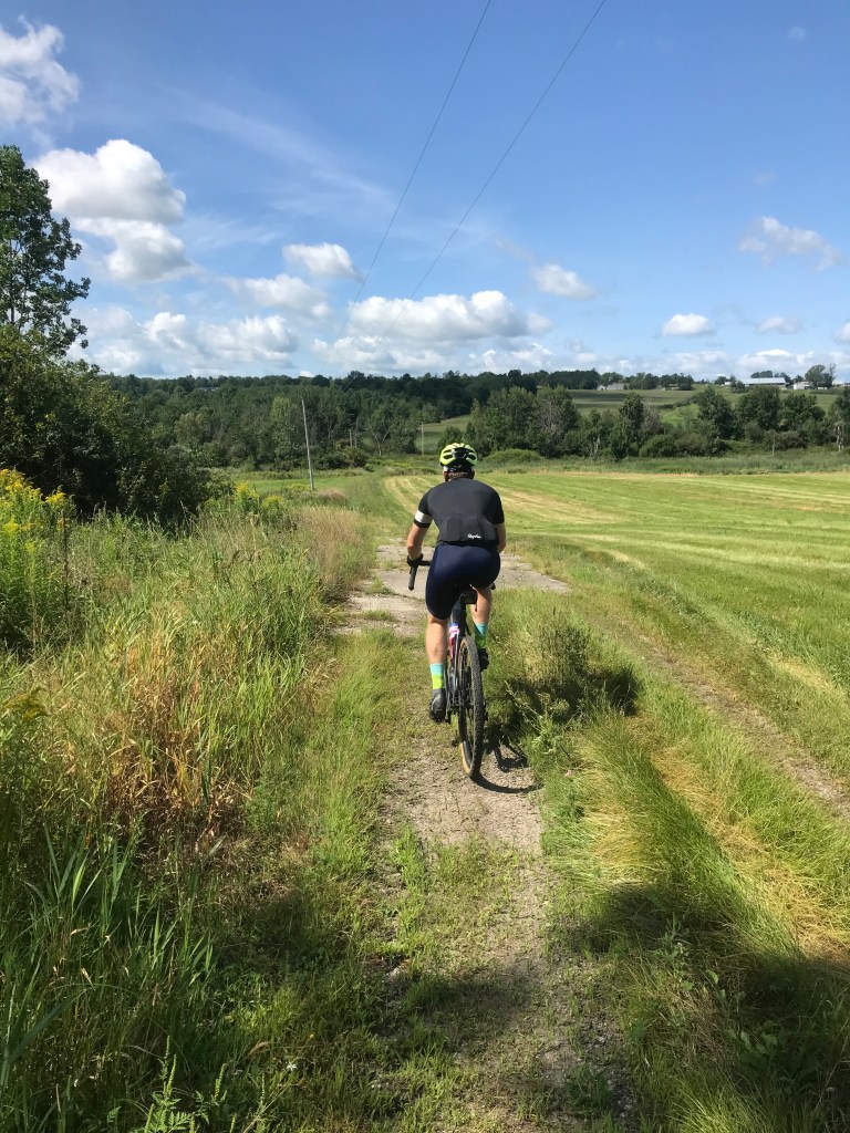
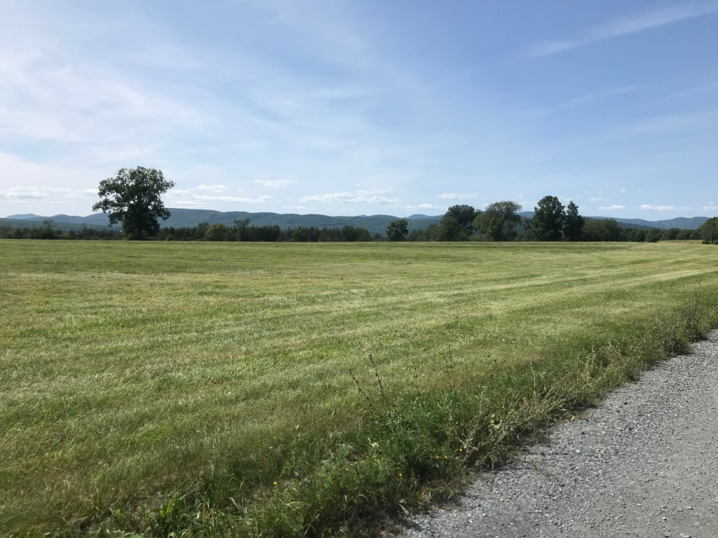
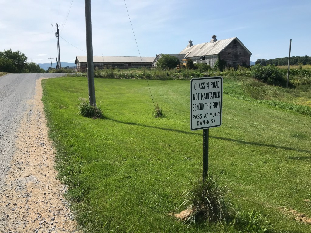
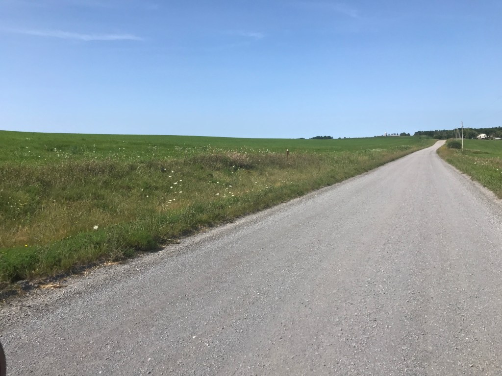
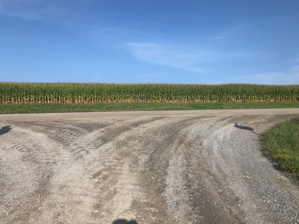
We continued south around Salisbury Swamp, one of two large wetlands in the area (the other being Cornwall Swamp). We took a very minor detour onto Old Jerusalem Road to swing by Blue Ledge Farm. They make delicious goat’s milk cheeses and I wanted to see it. Plus I figured they may have some goodies in their farmstand. It turns out the goodies were mainly soft cheese-based (shocker!) and we didn’t have the appetites or refrigeration for that. But they were kind enough to let us intrude on the preparations for their parent’s 50th wedding anniversary party! I especially loved the banner that said, “Love is not finding someone to live with. It’s finding someone you can’t live without.” It was after this stop that we did an odd jog in the route in order to capture Whiting. If you look on the map, we could have easily went south from Leicester into Brandon, then over to Sudbury. We we’d have totally missed Whiting, and I’m so glad we didn’t (and not just for the “251” of it). The first highlight was a very lightly used Class 4 road that was essentially a farm road. We then looped around to West Road and North Vail Road which is an absolute gem. Pure Addison County white gravel goodness. It’s certainly on the list to come back to explore more. It also turns out this is the area through which the Crown Point Military Road passed. You may remember it from Ride 18. We worked east again, joining Route 73 for a long cruise down to Willowbrook Road, and then the crux of our two major climbs for the ride.

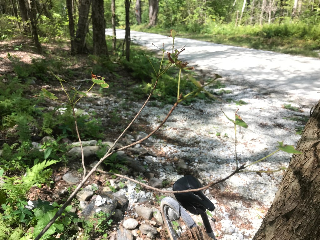
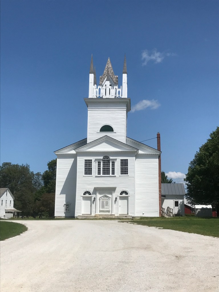
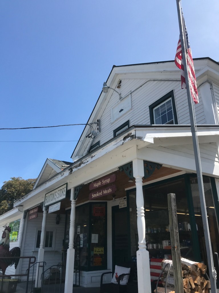
Looking at the elevation profile of the ride, the two climbs we were about to do, rose up like cat’s ears on either side of the 50 mile mark. The first of the two ears took us up to Huff Pond. I learned of Huff Pond Road from a NY Times article of aerial photography. Much of it covered the same area we were riding and the road’s gentle curves and evocative scenery drew me in. I had to include it. It was steep but because the rest of the ride was relatively flat, the elevation profile made it out to be a bit more bark than bite (or to keep the cat metaphor going: a bit more claw than scratch?). At the top, we took a break and I noticed a fair bit of caterpillar damage, like the kind I mentioned in Ride 20. The road down into Sudbury was similarly steep and very fun. We met with Route 30 again at the Sudbury Congregational Church. The building was built in 1807 and was based on an image from Asher Benjamin’s 1805 Country Builders Assistant. Benjamin had an outsized influence on New England architecture in general and this church’s form specifically. The church used to have a large steeple, but it was removed for fear it might be blown off. I could understand that concern as this area is quite flat and in the early to mid-1800s I would imagine lacking in many trees. We pushed west into the town of Orwell. We could have continued on Route 73 right into the village, but Brad had promised a good cluster of dirt roads on the other side of the second climb, so I included it. This second “ear” proved to be a bit tougher than the first, but the cruise down the back side and the roads on the other side certainly proved worth it. Our stomachs getting a but grumbly, we pulled into Buxton’s Store. The store is a classic country store with a nice story of how it’s been in (and out) of one family’s hands for many years. All I knew at the time was they had a great looking deli counter. I loved hearing people discuss the highlights from the Field Days as we all waited for our sandwiches. Apparently a horse got loose and even seemingly trampled someone at one point. The woman at the deli told the man to get checked out, but he insisted he was fine. This, despite the fact that he had a hoof print on his back! Sadly the deli counter has now temporarily closed due to lack of staffing. This unfortunately matches a theme going on now regionally. But luckily they were open then, so I ordered the classic “Vermonter” sandwich, got some chips and an iced tea and we sat on the porch to enjoy them. Not long into our caloric refueling, a car pulled in and out stepped our college buddy Kyle! He and his family live in Storrs Connecticut, but recently bought a place in Orwell and were up for the weekend. It was lovely to catch up with them and get a little local insight into the gravel paradise that is the Orwell area (Kyle is a pretty avid cyclist). After a while, we had to move on, so we got back in the saddle and started out to tackle the last 40 or so miles.


West of Orwell, we crossed Route 22A, another portion of my traditional route to Massachusetts. After that we got back on some spectacular dirt roads. The first of which was what I call a Class 3.5 road named Old Foundry Road. I’m not sure if there was an old foundry in this area and if there was, what exactly they’d have been casting there (there aren’t many metal supplies in the area that I know of). As you can see from the street view, it’s mostly just a narrow farm road with spectacular views across the lake. We could almost see over to Mount Independence. That area is now a state historic site, but back during the Revolutionary War it was a key defensive position. Along with Fort Ticonderoga across the lake and even a “Great Bridge” that connected them, the complex played a key role in allowing American troops to hold, then strategically retreat before ultimately defeating the enemy troops at Bennington before their eventual defeat at Saratoga.
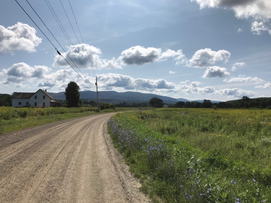
After getting off of Old Foundry, we pushed north Up Hemenway Hill Road, crossing into Shoreham. On the climb, I felt my back tire giving a little more bounce than I was expecting. To my great surprise, I had my first flat of the whole Dirt 251 Project! I really am not quite sure how it happened, and despite not being able to find an obvious leak, I decided to put my spare tube in there. I am currently struggling to convert my tires over to tubeless to avoid such things, but at the time, those original tube had been amazing. With a lot of help from Brad, we were able to change things over without too much struggle. Luckily it was a shady spot: it was beginning to heat up quite a bit. The roads kept giving us amazing views as we continued north and east. Barhum Hill Road is a Class 4 that was probably my favorite of the day. I think this is the section where we even saw a Bald Eagle! We were briefly on Route 74 as we passed by Champlain Orchards, one of the largest orchards in Addison County. They grow 146 varieties of apples (though not my favorite) on over 300 acres! We had planned to stop at their store if needed, but we were both feeling pretty strong, so we pushed on. We reached an open stretch that included Basin Harbor Road. It was a slight incline and the sun was really beating down, so I began to feel it. We luckily reached a shady Class 4 section north of Cream Hill. It was a lovely respite, except for the fact that there were thousands of grasshoppers hiding in the shade of the road! They would jump as we rode through them, making a knee-high cloud of bugs that would bounce off our shins as we plowed through. It really gave me the willies, but Brad couldn’t help cracking up at my screams. Even though it was hot, I was happy to be back in the sun after that ordeal.


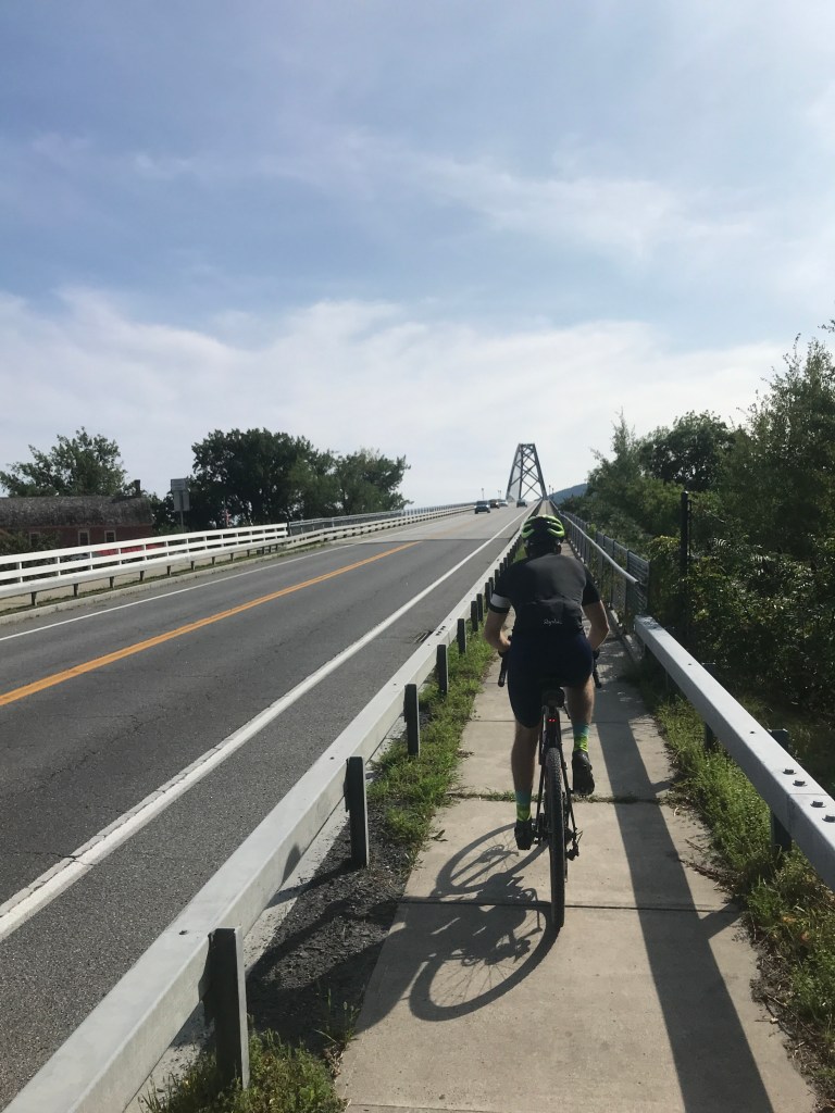
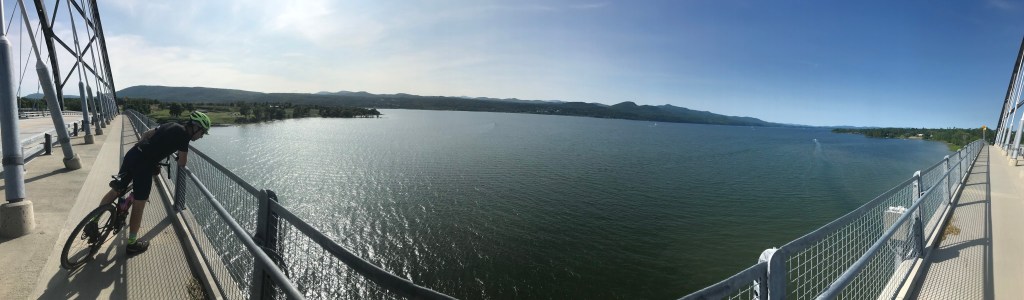
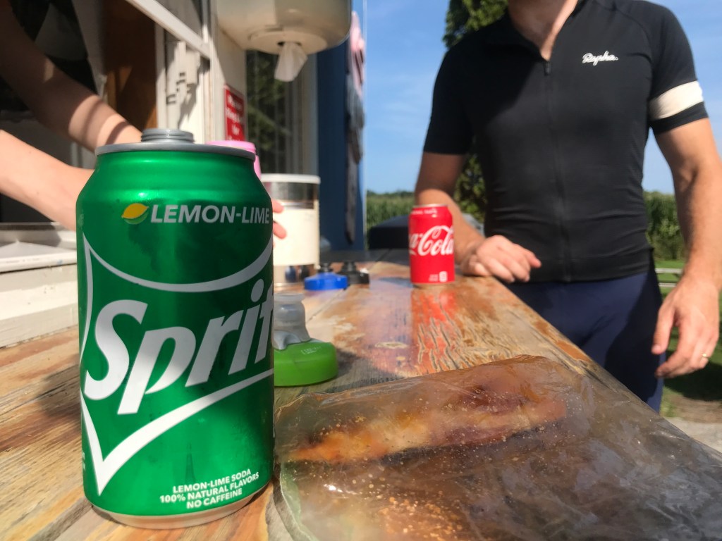
We were closing in on the final 20 miles of the ride and while there weren’t any big climbs left and we’d been eating and hydrating well, you tend to drag a bit at that point no matter what. I had planned for us to do a short out and back as well, which can be a bit demoralizing psychologically. But it was for a good reason: I wanted to ride on the Crown Point Bridge and get just over the line into New York. Plus the bridge is gorgeous. It was opened in 2011 after the old steel truss bridge was deemed unsafe and closed after an inspection in 2009 and while the rebuild was relatively quick, it took its toll. I like the look of tied arch bridges and particularly like the crossing lines of the steel cables supporting this one. It was nice riding out to the bridge as we got several view of it as we got closer and closer. I had never walked or ridden on it before, so I enjoyed the up-close view as well. We stopped at The Bridge restaurant and snackbar for a quick soda pick-me-up and water refill. It was nice to take a load off, but getting back in the saddle was quite a bit harder than getting back on in Orwell. The route took us back south east because I really wanted to include Town Line Road, for obvious reasons. The road straddles the Addison and Bridport border for almost its entire length. It’s a straight shot up from the lake to the west shoulder of Snake Mountain. Given the lack of curves, the prevalence of farming and the relatively flat land, it felt very midwestern (though I’ve never really ridden much outside of New England).
Once we were on Mountain Road, the views over to the Adirondacks were spectacular! In fact, there’s a Strava segment called “Don’t forget to look left”. We passed the trailhead for the most popular Snake Mountain hike and then continued across Route 17. We entered a zone that’s made up of public roads, but if I hadn’t known, I would have assumed they were private farm roads. Right at the beginning there was a beautiful old brick farmhouse next to some more modern barns. That’s typical for this area and in fact, there’s a historic farmstead called The Windswept, just down the road. There was so little worry about traffic on these farm roads that Brad and I felt like we were in some sort of bike park. We stopped for photos multiple times and just soaked in the views. We hooked up with Otter Creek Road that took us to Hopkins Road and back into Vergennes. We swung past my co-worker’s house on Panton Road and pulled back into Falls Park, having clicked just over 100 miles! Brad was kind enough to then drive me to an amazing dinner put on in a field at Huntington River Vineyard by The Hindquarter. It was a perfect way to end a long, satisfying day. Oh and I officially over half way with towns: 135 of 251 (255 with everything)!


The Details:
https://www.strava.com/activities/5799368901
https://ayvri.com/scene/gdkz16el5z/ckshwfxtr00023h6i6kwih2fh

Sam, These posts are fantastic! I read every word every time and am always amused, Entertained and informed. They must take you a long time. I love the way you weave together town history, personal anecdotes and natural beauty. The photos are great too. With some more editing, these could be published, for sure. Congrats on moving beyond halfway! Keep on pedaling! Much ❤️ Mom
LikeLike