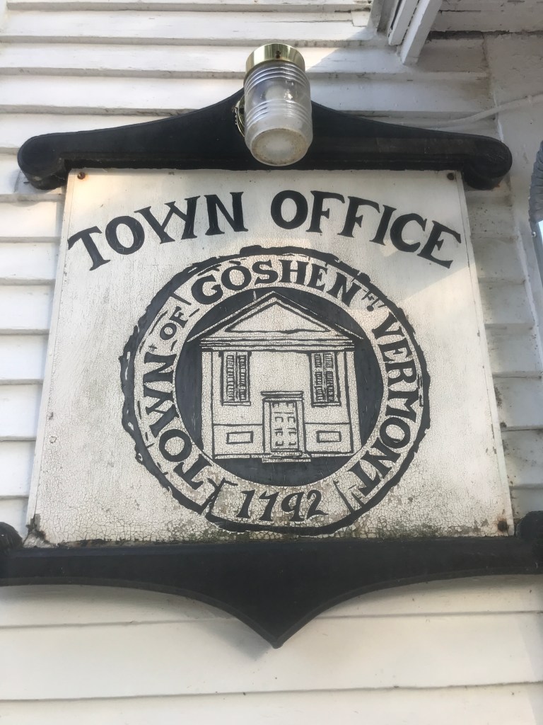
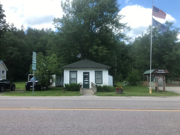
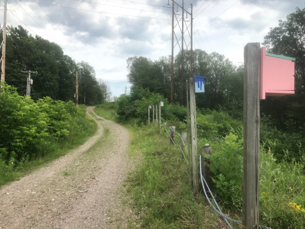
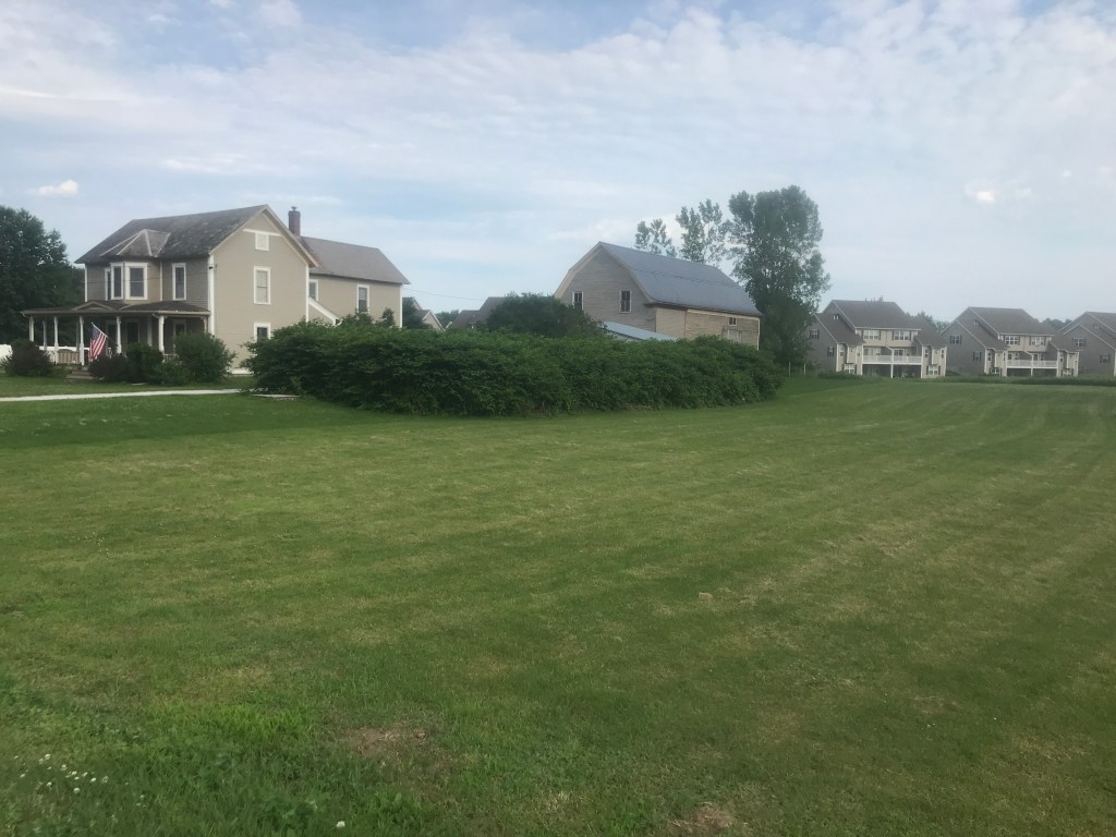
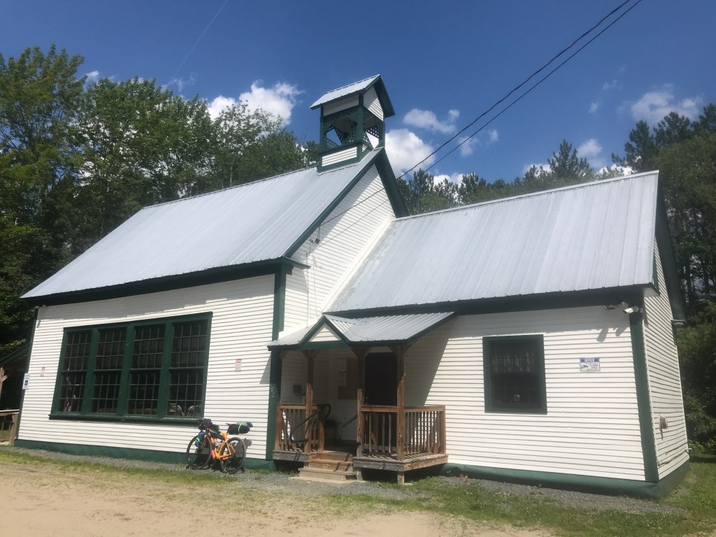
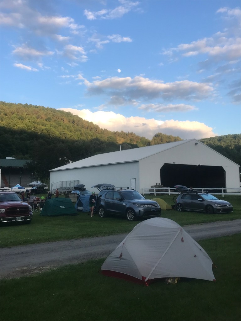
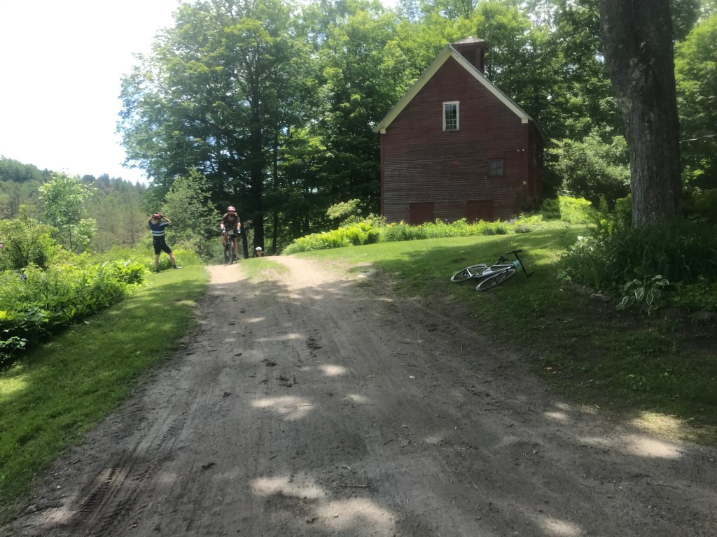
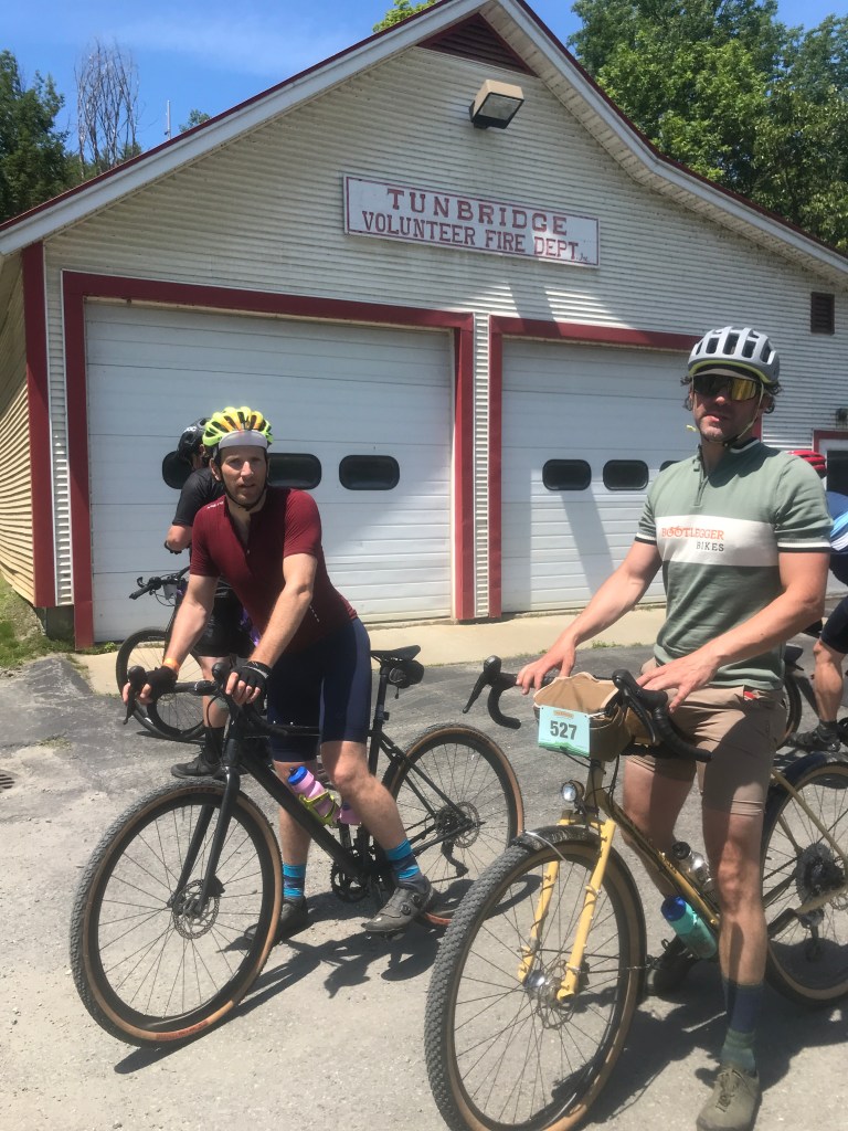
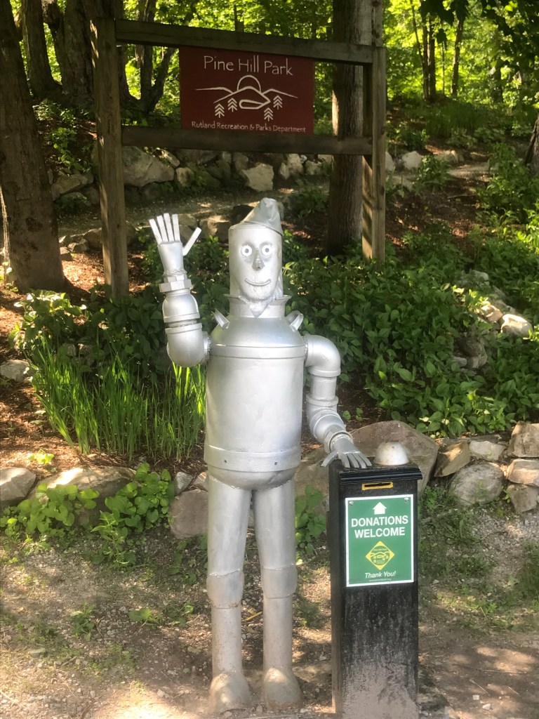
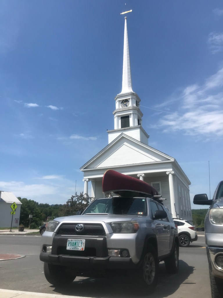
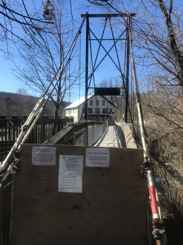
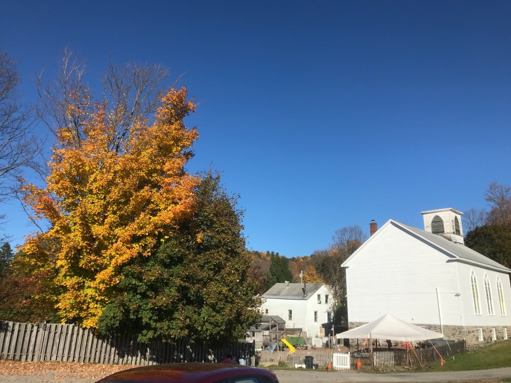
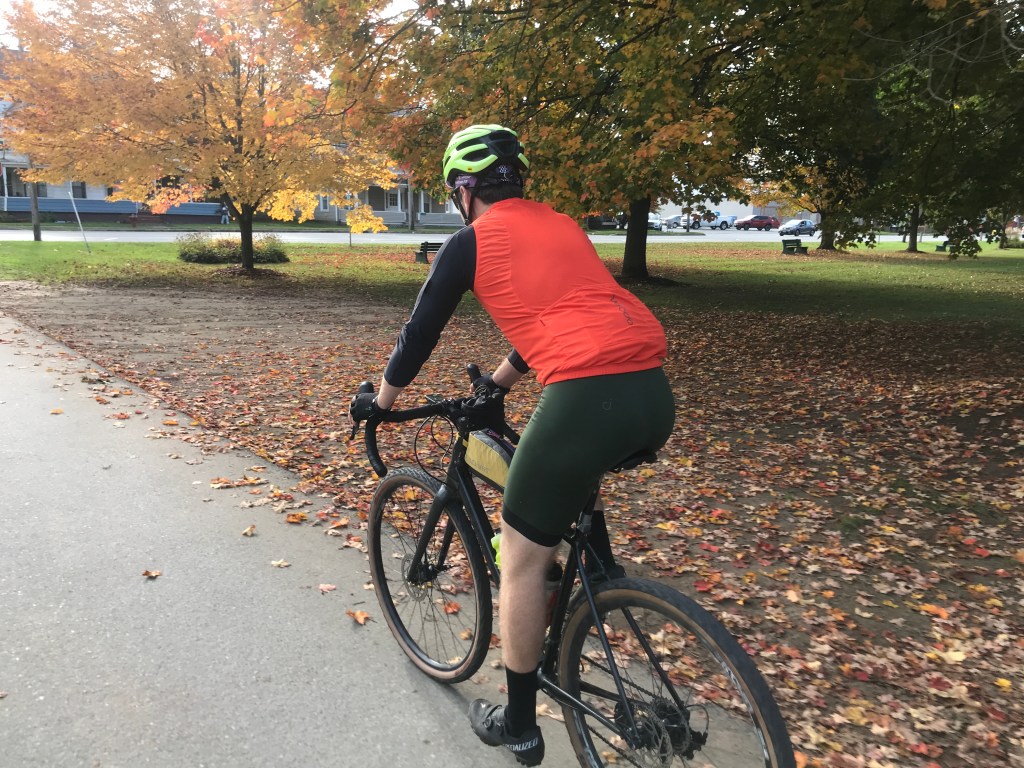
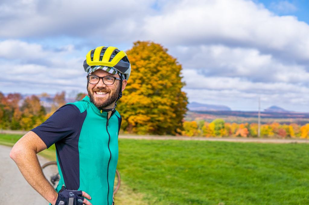
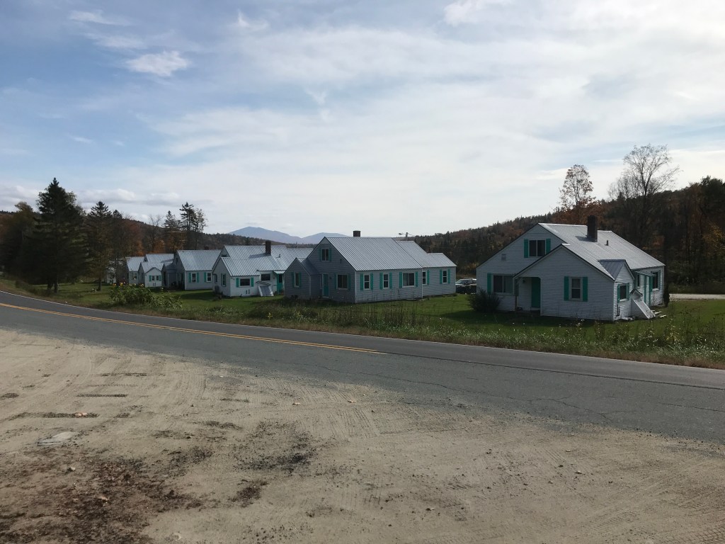
I’d been on a bit of a roll for the past few weekends and Maddie had a 12-hour shift at Rescue, so I figured I’d keep the streak rolling with another 251 ride. The routes left are dwindling amazingly fast and I wanted to do something ambitious, but not too wild, and what I’d planned in the Killington area fit that bill. It was solidly over the golden 10:1 gravel ratio and had some unknown Class 4 sections, but was under 65 miles. It was also supposed to be quite warm, so after waking up around 5:00 or so I got on the road to try to beat the heat. I drove down to Goshen, in the lower slopes of the Green Mountains, east of Brandon. Goshen is a small town in both area (21 square miles) and population (172), but it boasts an amazing national recreation area, a patch of national forest managed for blueberries, great nordic skiing (also blueberry themed) and access to some fantastic gravel riding. I parked at the Goshen town offices, which confusingly are in a small building NEXT to the grander town hall building which is featured on the town seal.
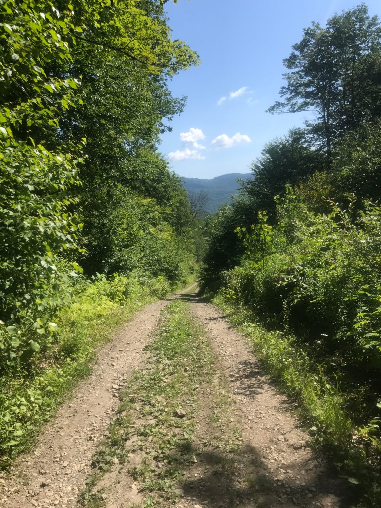
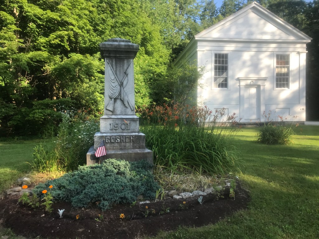
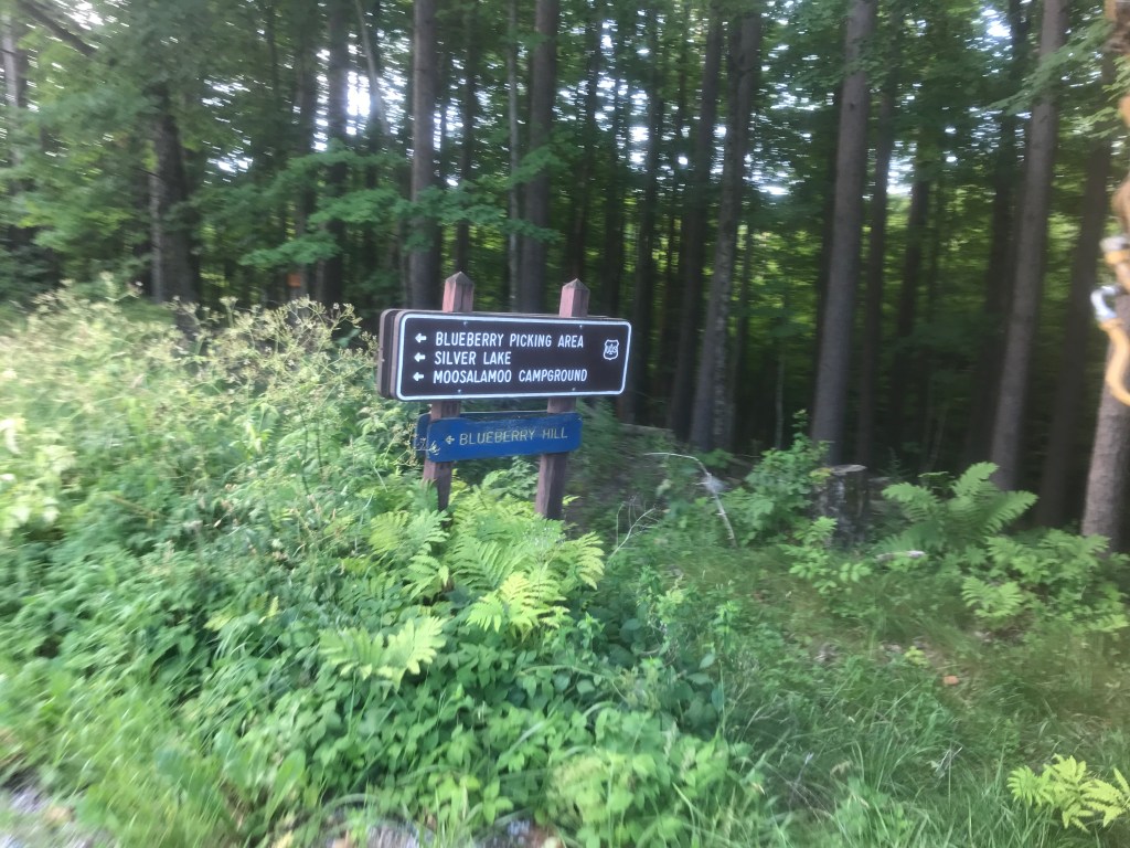
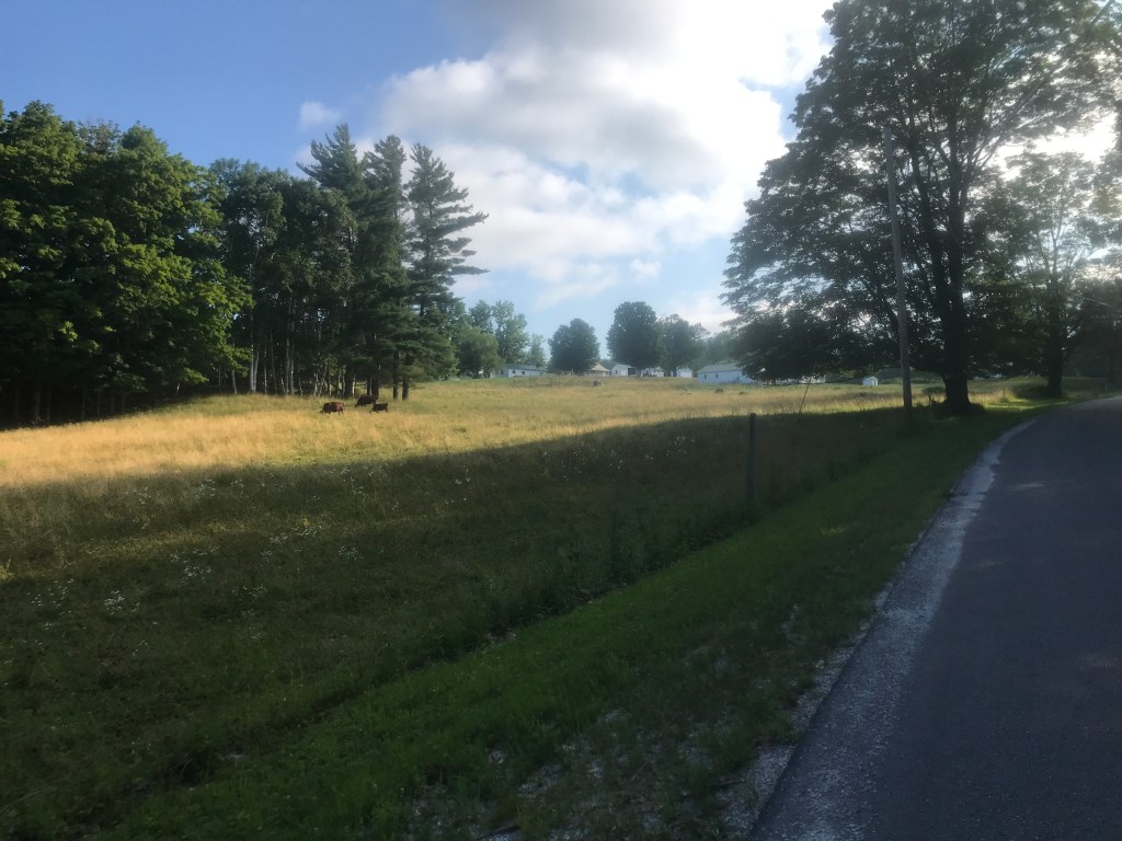
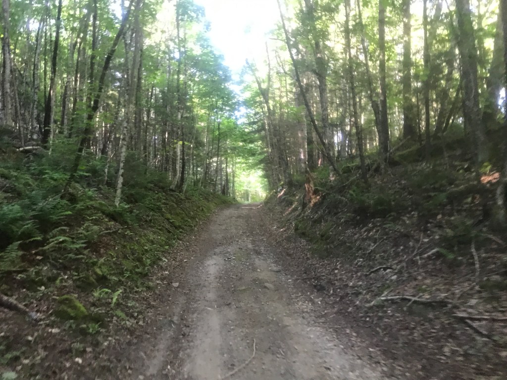
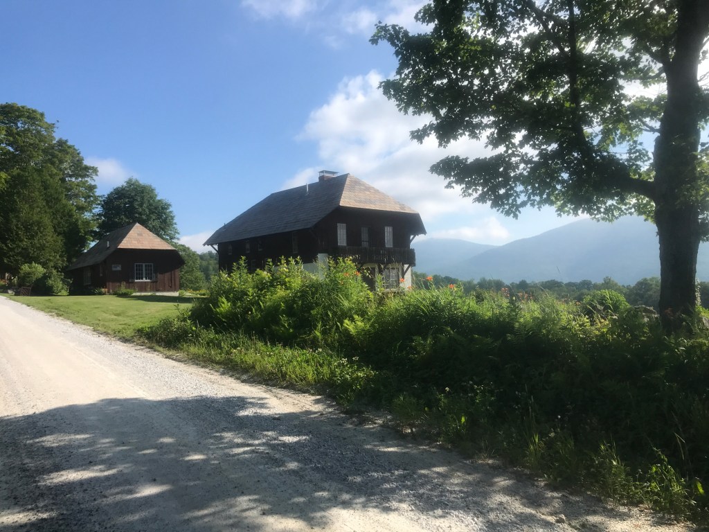
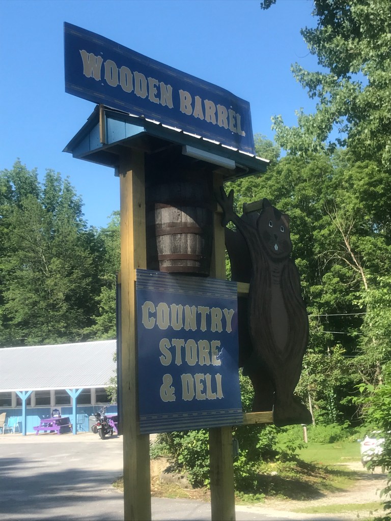
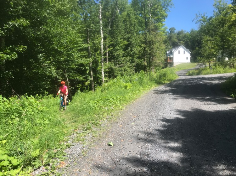
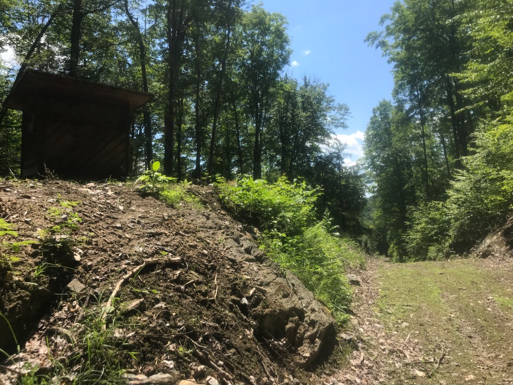
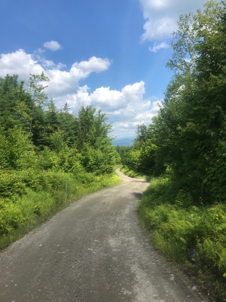
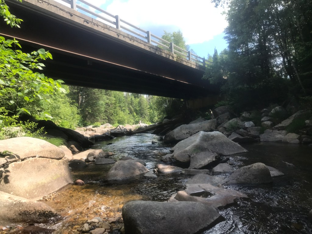
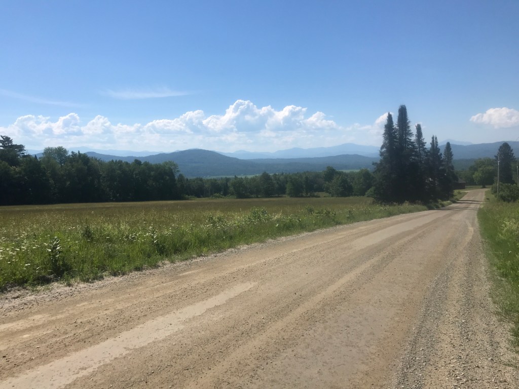
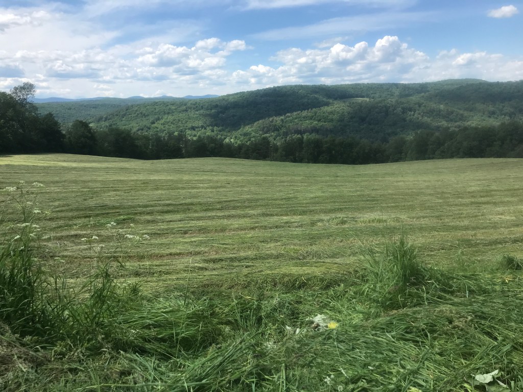
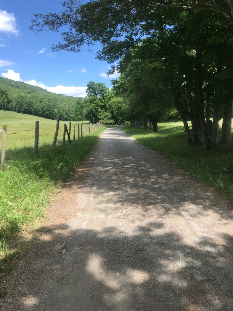
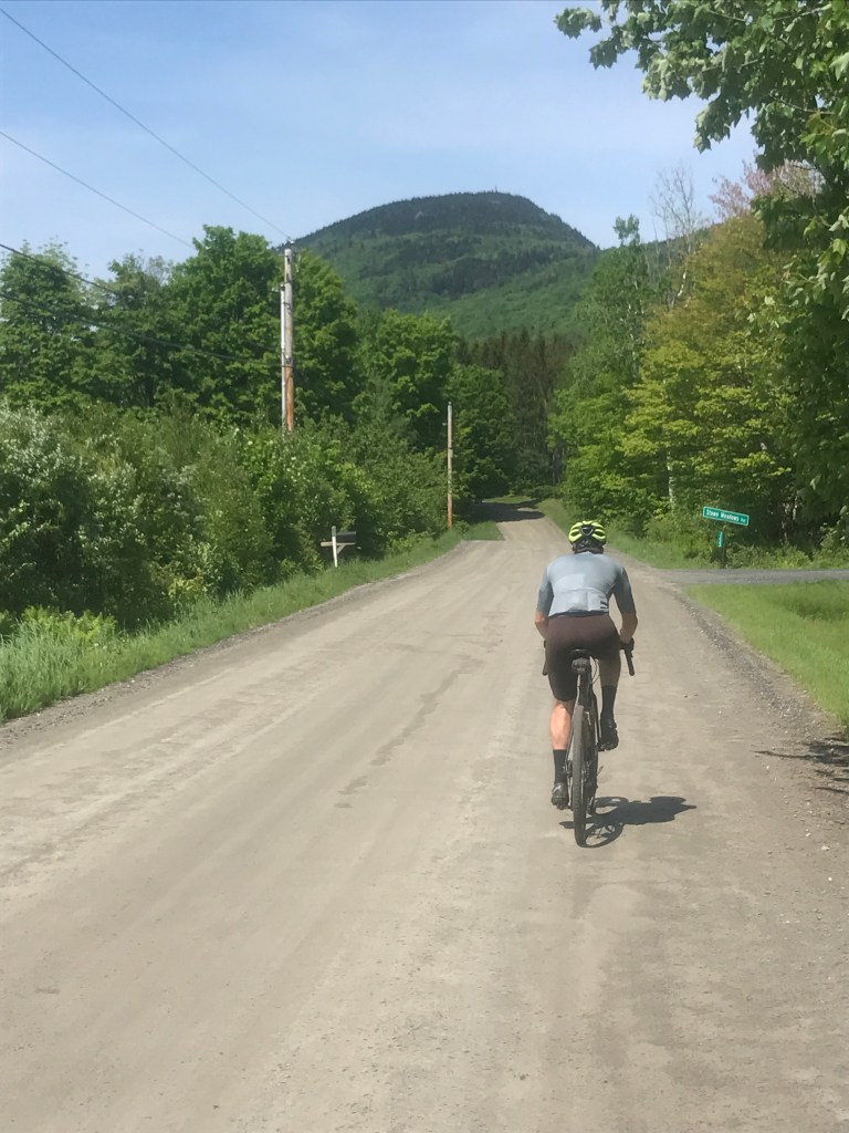
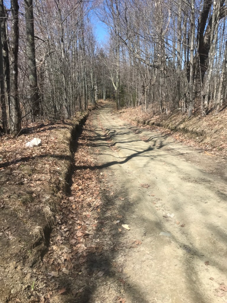
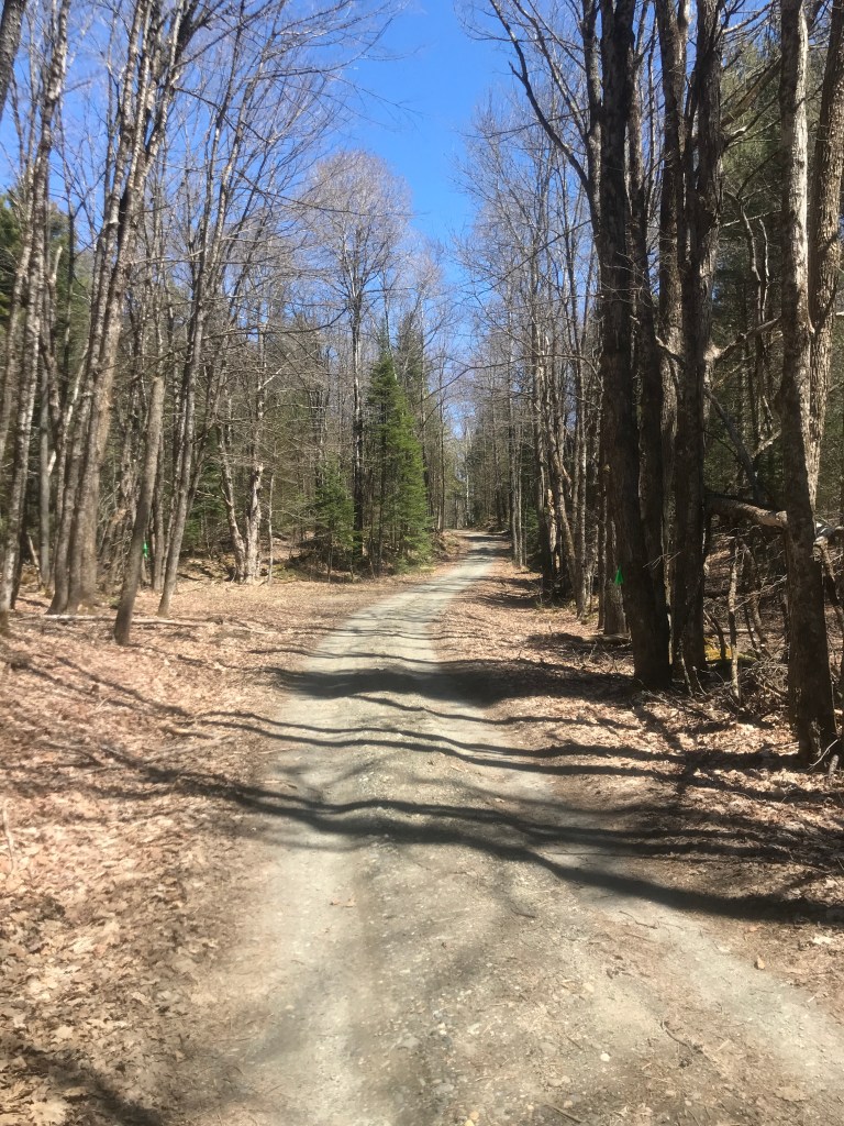
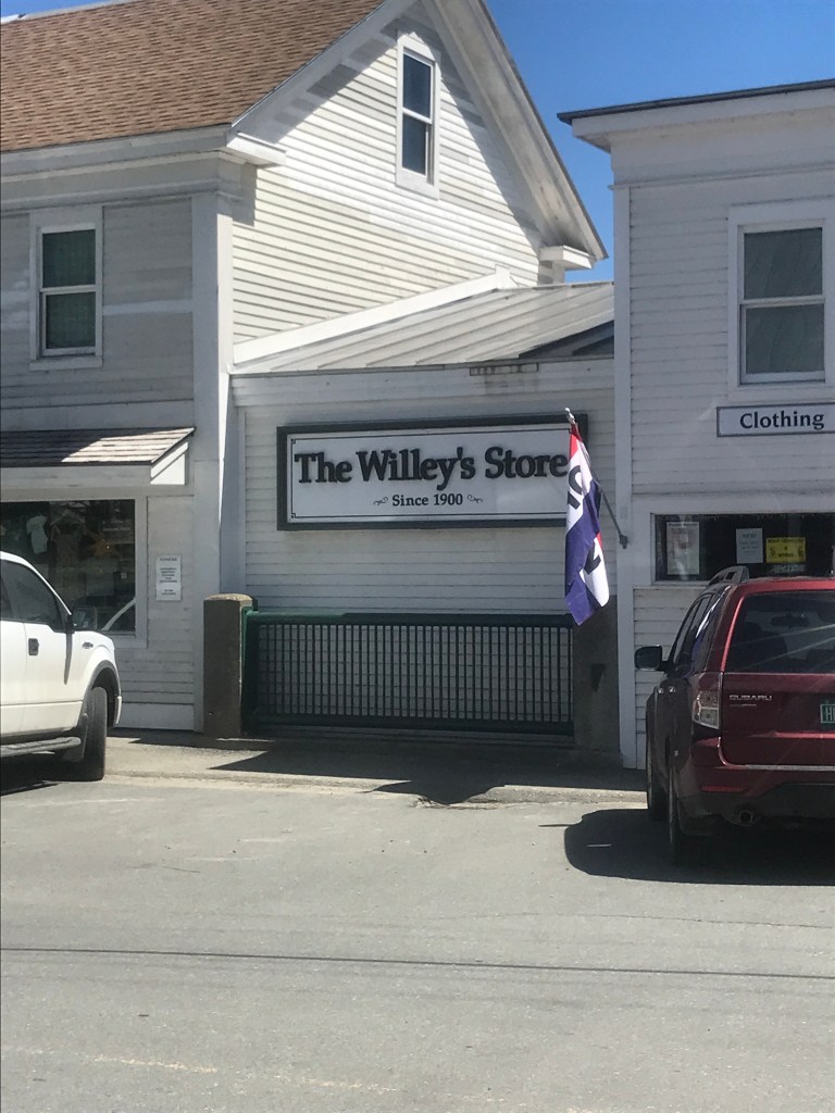
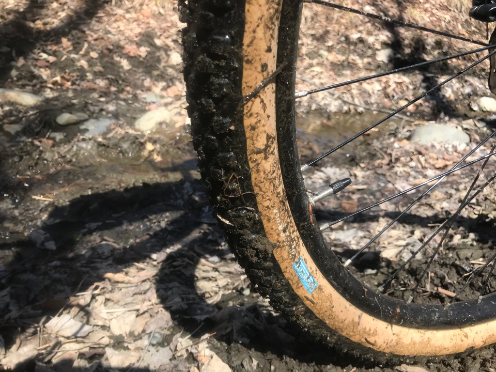
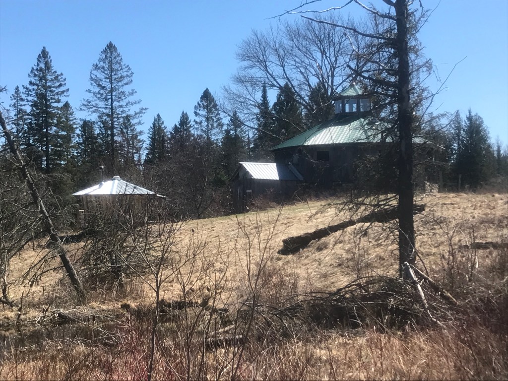
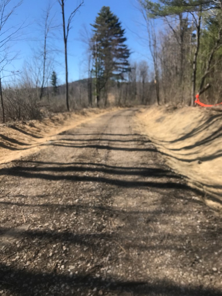
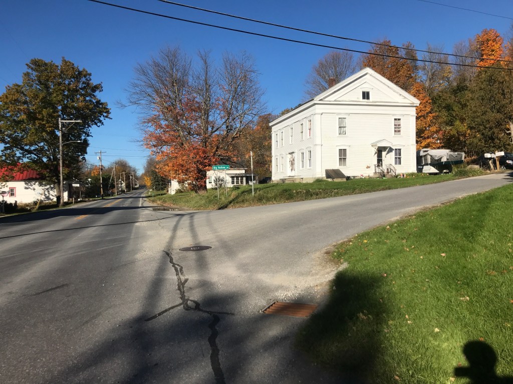
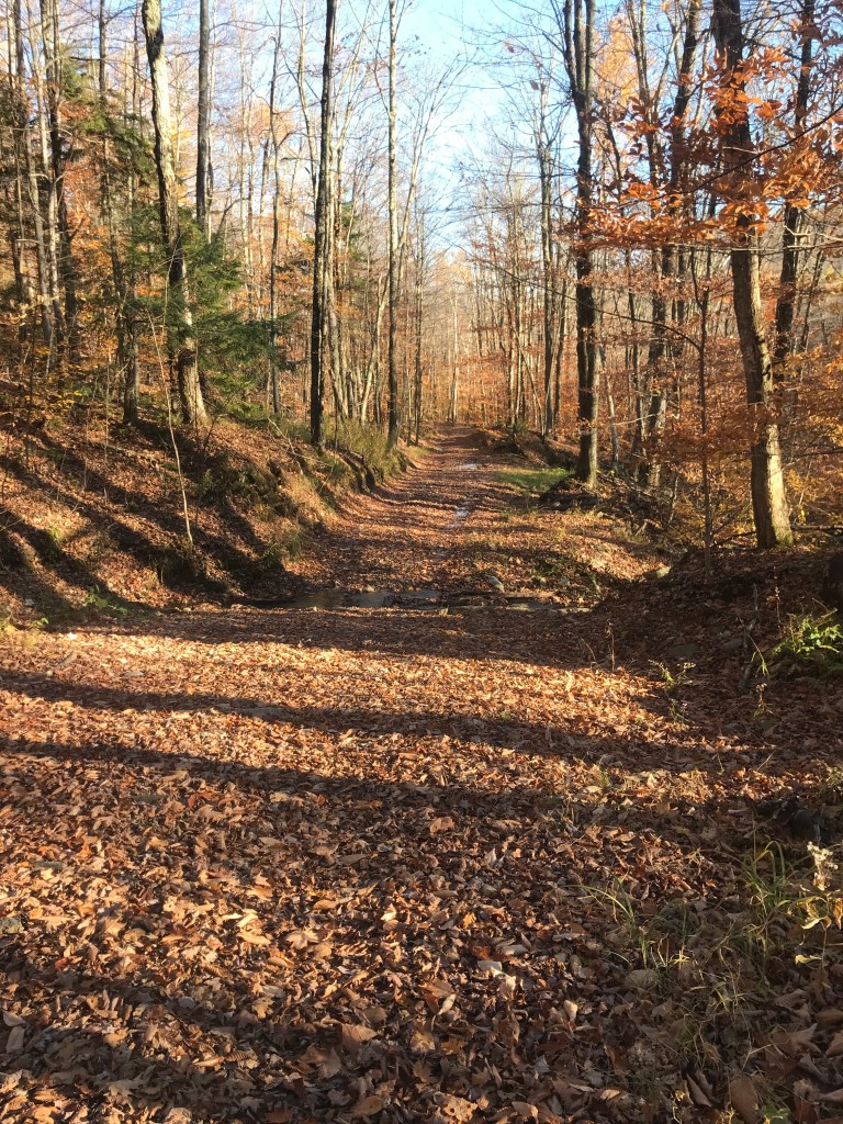
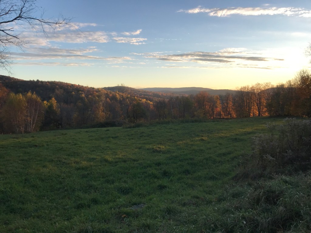
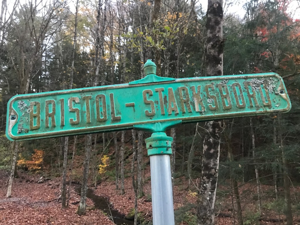
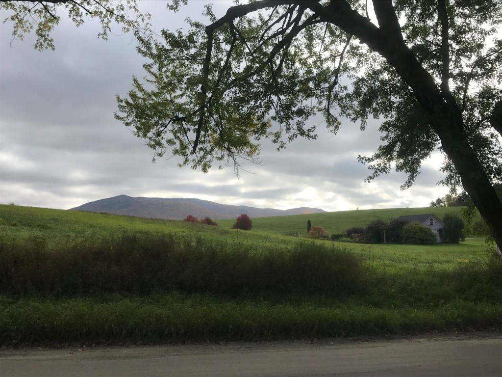
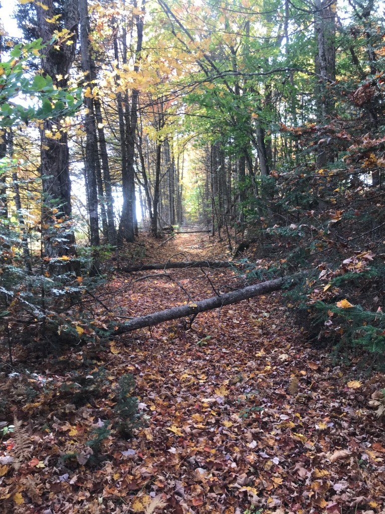
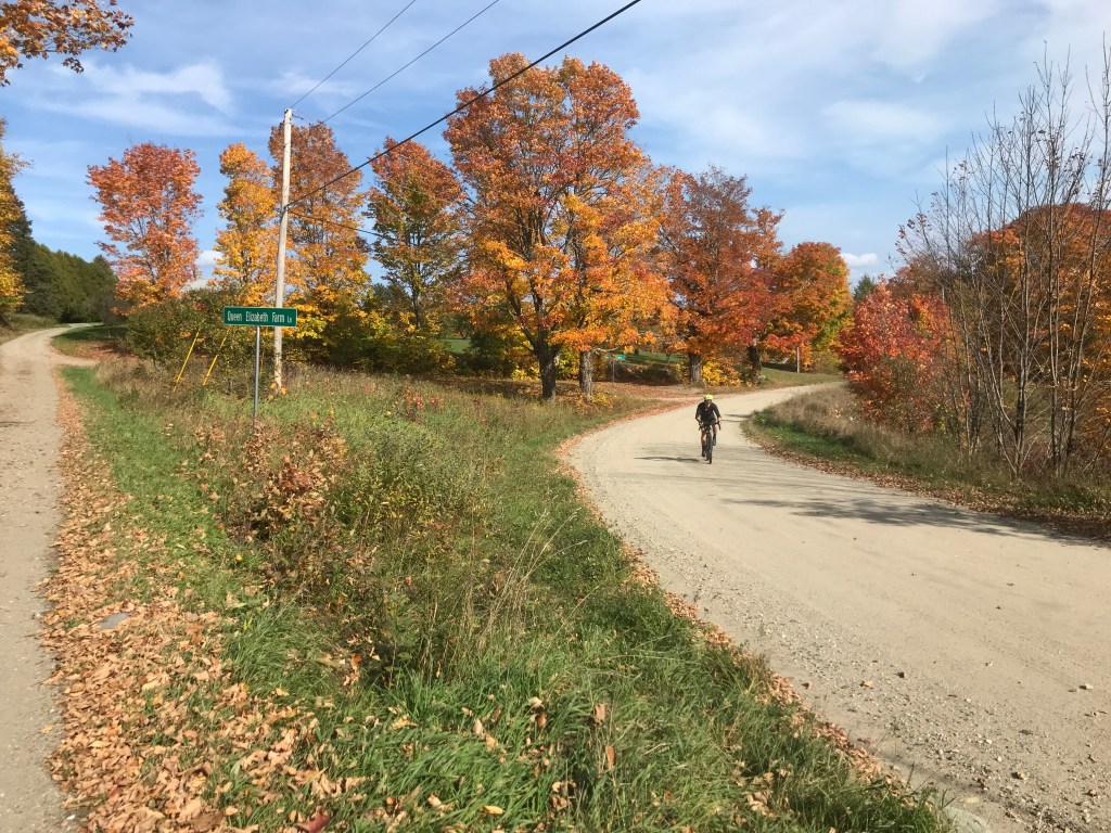
Anyway, I packed up and was on the road by a bit before 8:00. I immediately began climbing up Capen Hill Road. I passed a sign for the blueberry picking area and also passed Camp Thorpe: a camp that has been around for nearly 100 years and provides “positive, successful camping experiences for children and adults…with a variety of physical and developmental needs.” Once I leveled off and turned south on Hathaway Road, the mountains I’d be entering showed themselves, and with the light still relatively low, it was an enticing sight. I crossed over Vermont 73 (my route back) and began to climb on South Hill Road (AKA Forest Service Road 403). This followed typical GMNF road patterns: begin as a typical dirt road, become double track after the last house, have a few deep pools of nasty standing water and a beaver dam assisted stream crossing or two. But all in all it was an amazing road. In fact, it’s likely going to be part of the Eastern Divide Trail, a bikepacking route that will run from Newfoundland to Key West. They’re in the process of finalizing the route and just two days before this ride, Joe Cruz (professor, author and route planner extraordinaire) went through to check it out for the Divide Trail. The road climbed steadily, but just past a few seasonal camps, I came upon an opening and a view past a couple of slate covered, hip-roofed buildings that was phenomenal. It looked like it belonged in the Alps (though the mountains and the buildings weren’t nearly grand enough). I then had an amazing, steady 3-mile drop down into North Chittenden. I’d actually been in Chittenden for a while now, which isn’t surprising since it’s the largest town in the state by area (73.8 square miles). The town was named for Thomas Chittenden, a “Founding Father” of Vermont and is also the birthplace of the Eddy Brothers, a pair of supposedly psychic twins who performed in the 19th century. I swept quickly through the lovely village past its picture perfect Civil War Monument and down to my first stop: the Wooden Barrel Country Store. I pulled in to refill water and grab a snack and was struck by how much their sign looks like that of the G&L General Store in Benson, about 20 miles due east.

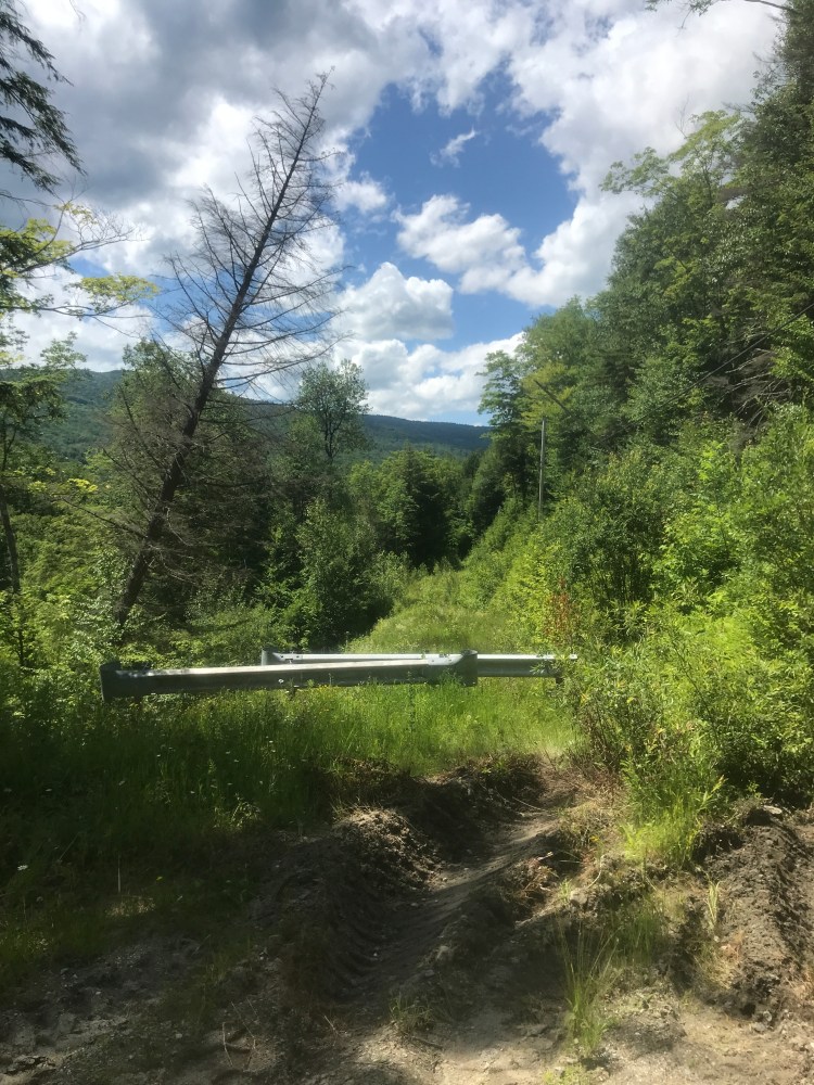
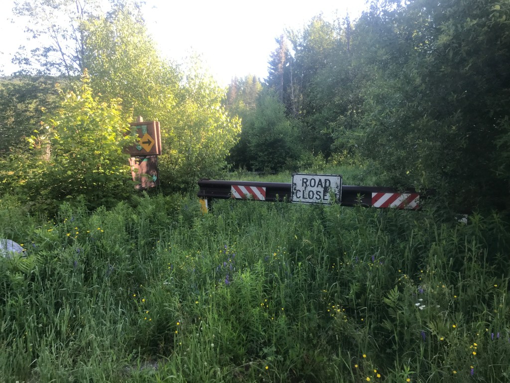
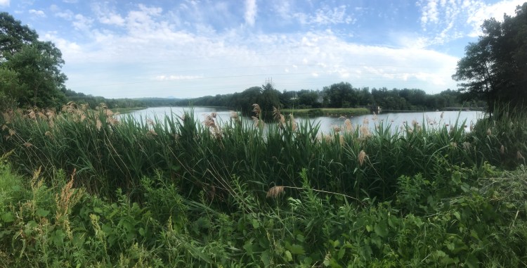
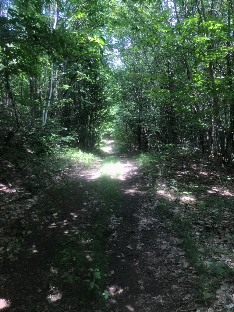
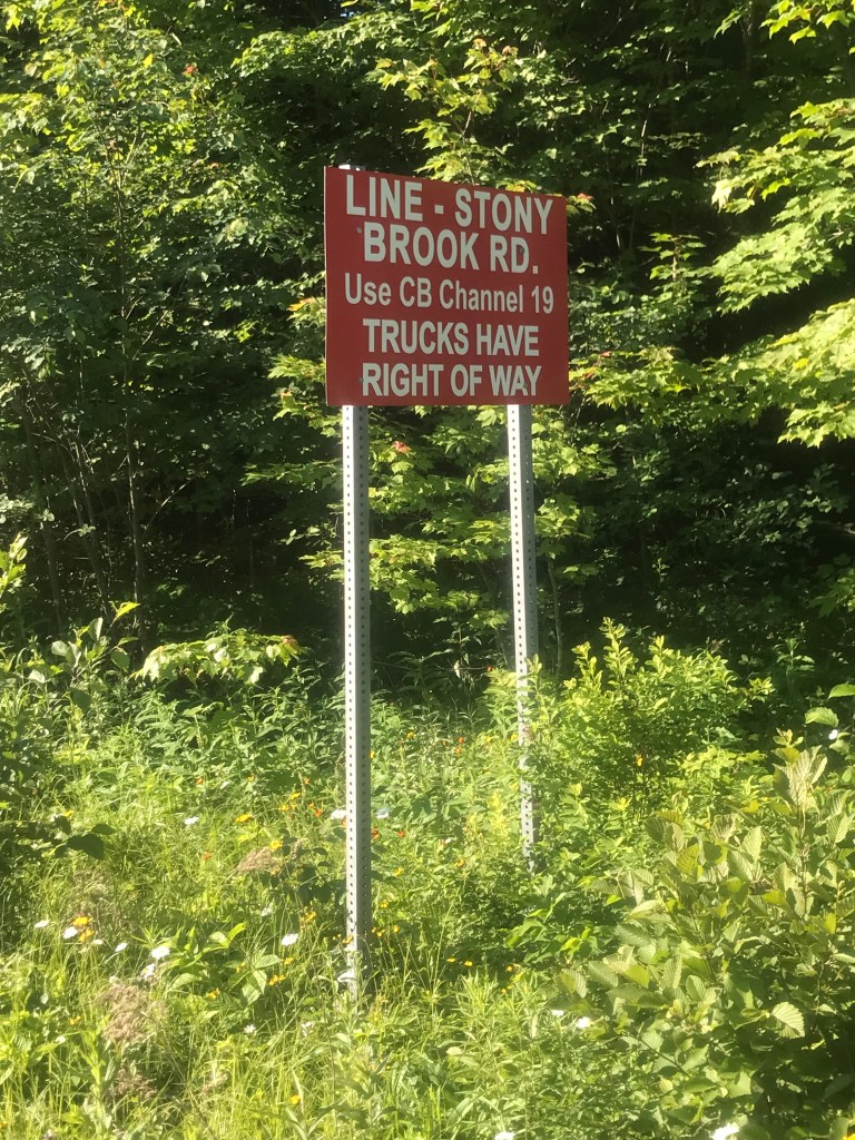
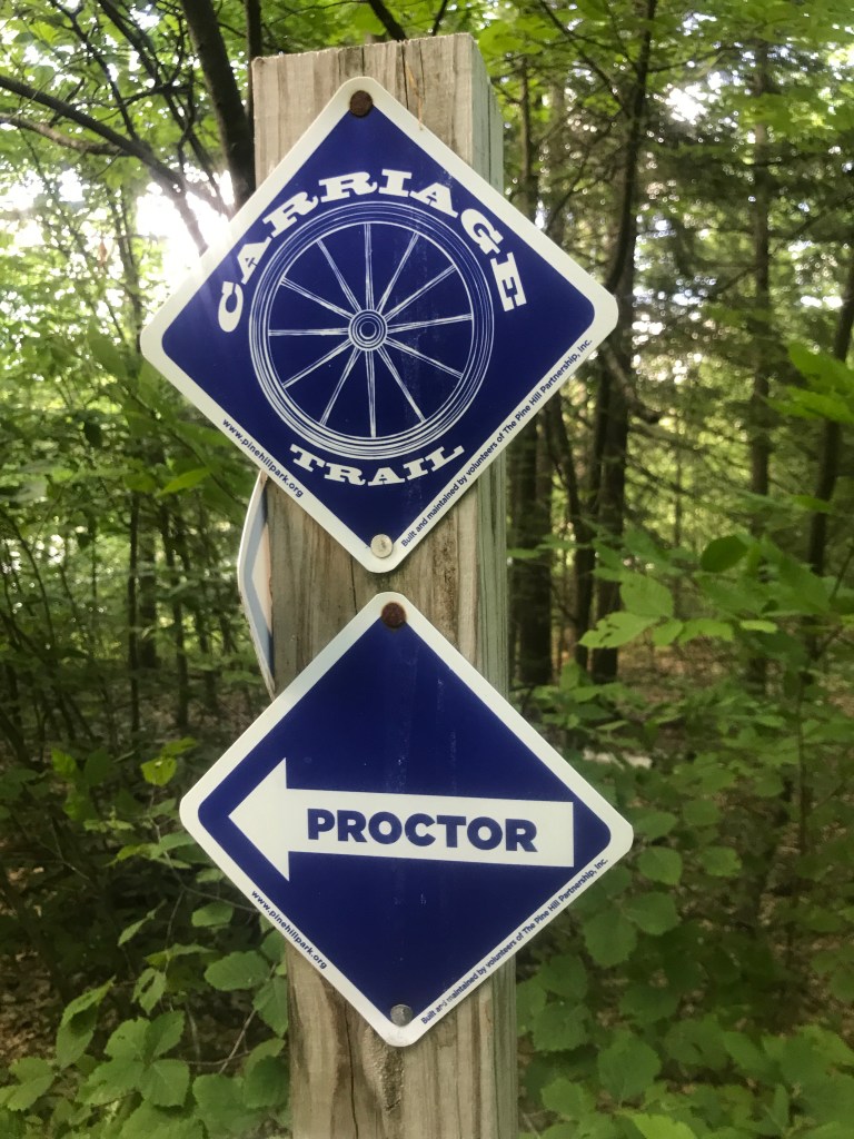
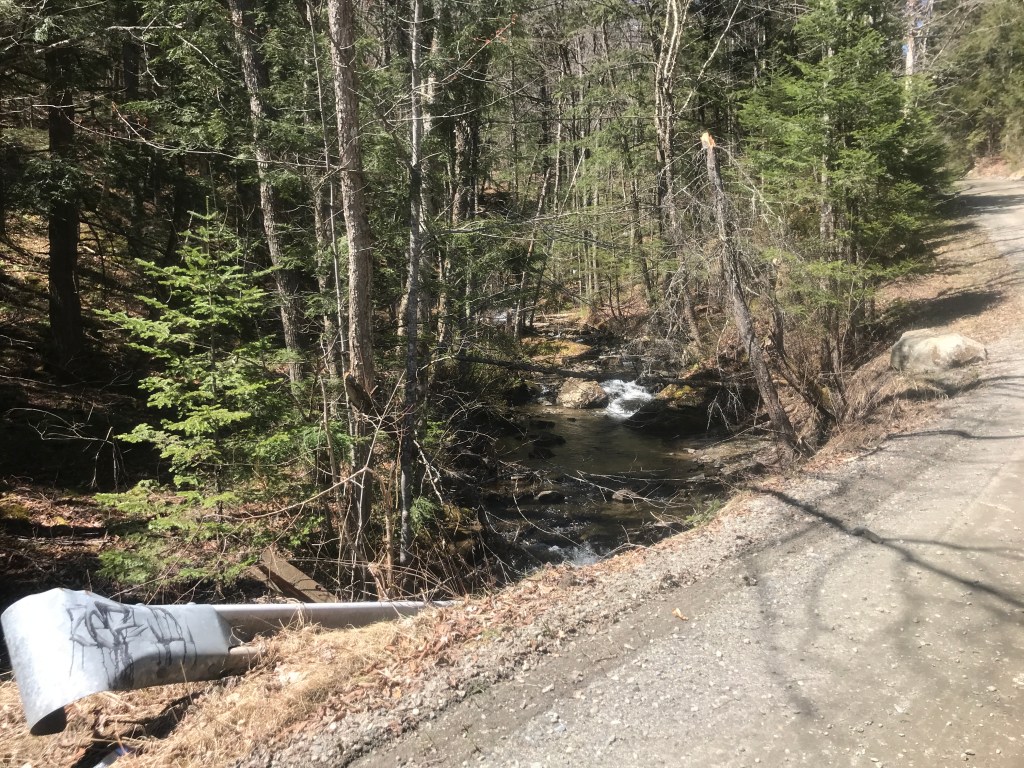
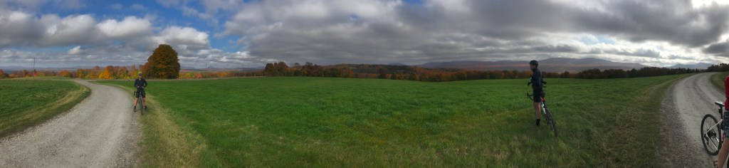
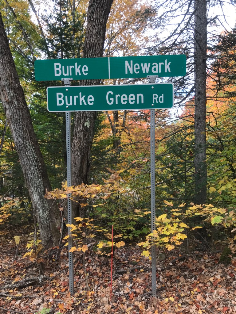
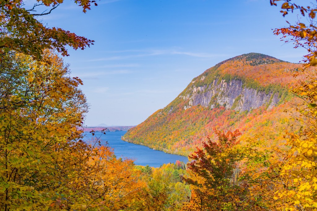
After a brief chat with another two-wheeled compatriot (a motorcyclist) I backtracked to create what would be the first of six small out-and-back spurs off this loop route. I was now going to be steadily climbing up towards the Chittenden Reservoir (which has a surprisingly light web presence, considering it’s on the larger side). I’m not even sure who manages it: Vermont Department of Fish & Wildlife? Green Mountain National Forest? US Army Corps of Engineers? Reservoir Dawgs? Anyway, the climb up was steady, but fine. Once I got onto Wildcat Road, it became quieter and much more pleasant. I pulled over to peek at Lefferts Pond, a connected, shallow section of the Reservoir. The views to the north were great, but the paddling looked marginal. I think it’s only a few feet deep in that whole area (not that you can swim anyway). I soon came to the end of the maintained road and found a menagerie of signs: everything from ATV/Snowmobile wayfinding, to the Catamount Trail to advertisements for Flannel’s Bar & Grill. Beyond lays The Elbow and for an area without town-maintained roads, there’s a lot in there. In fact, during the 1840s there was a proposal to route a train line through the notch! I planned to take advantage of that trail density and steal a bit into Mendon. This second spur of the day into Mendon doesn’t do the town justice: there is much more to the south, but I just couldn’t make it fit with other routes. I rode up an okay Class 4 road, until I reached some camps and a maintained road. Once I reached the hight of land, I decided not to head down to Route 4 and the Inn at Long Trail and Pico, but instead just turn around back towards the Elbow.
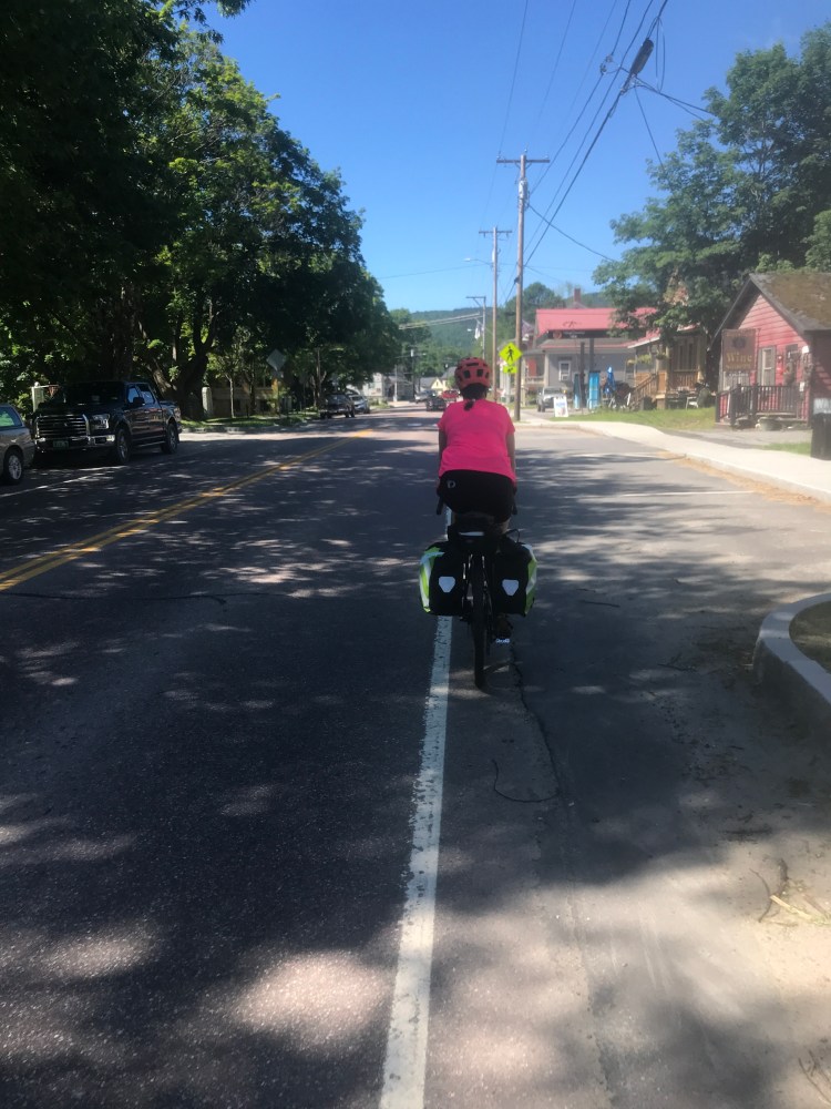
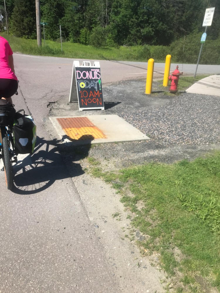
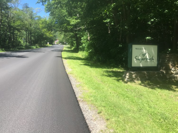
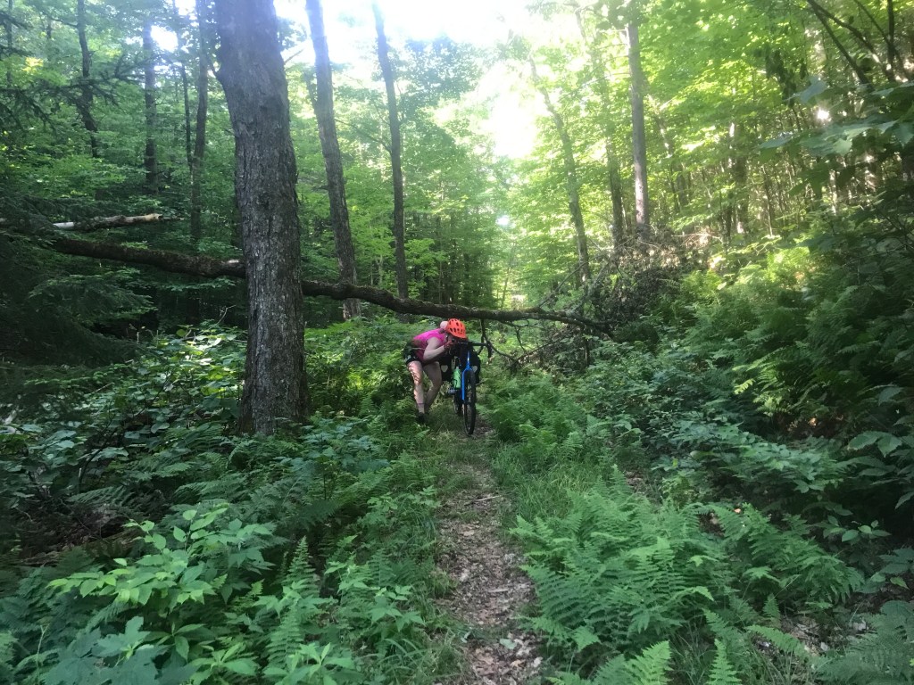
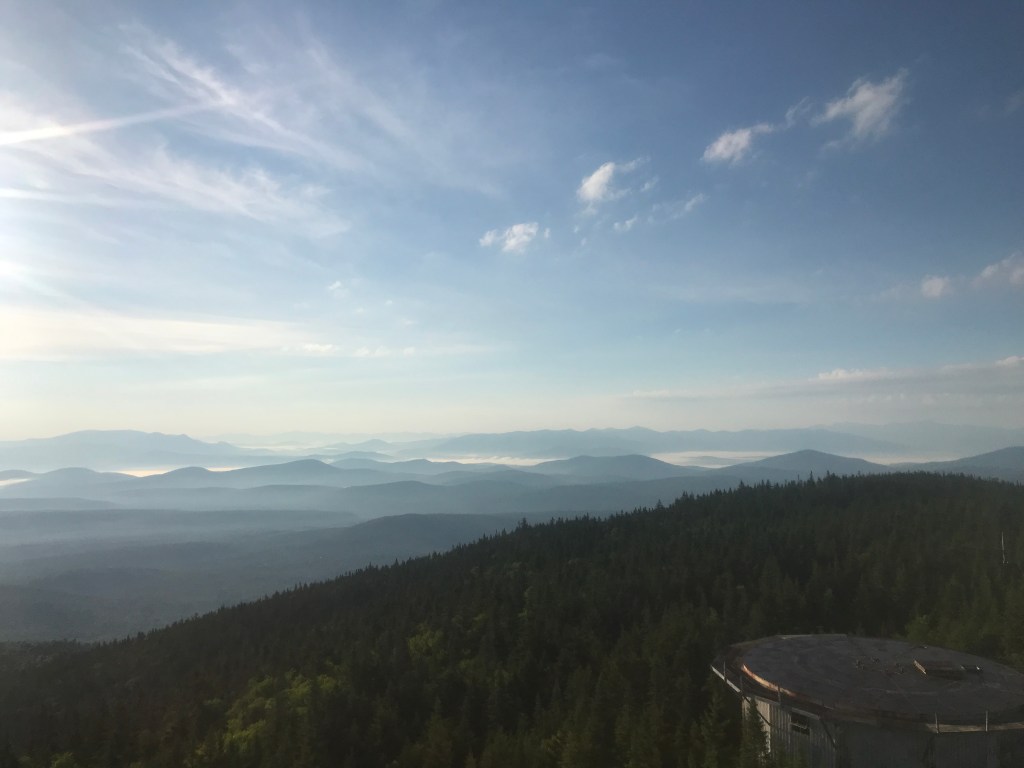
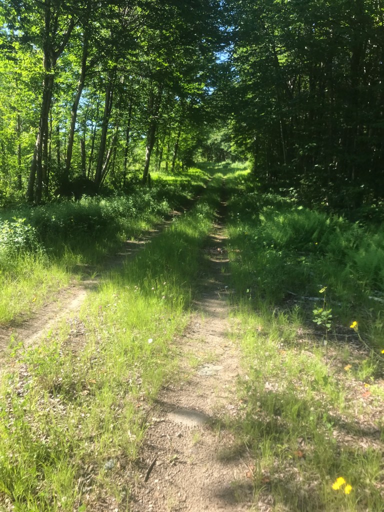
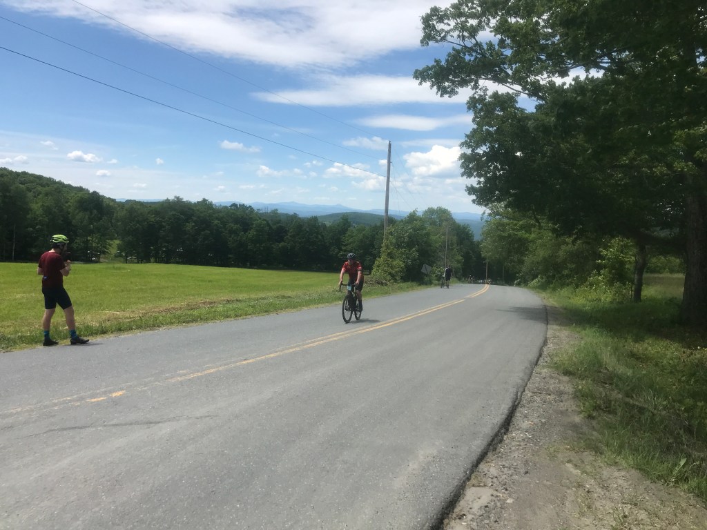
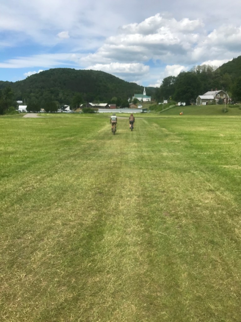
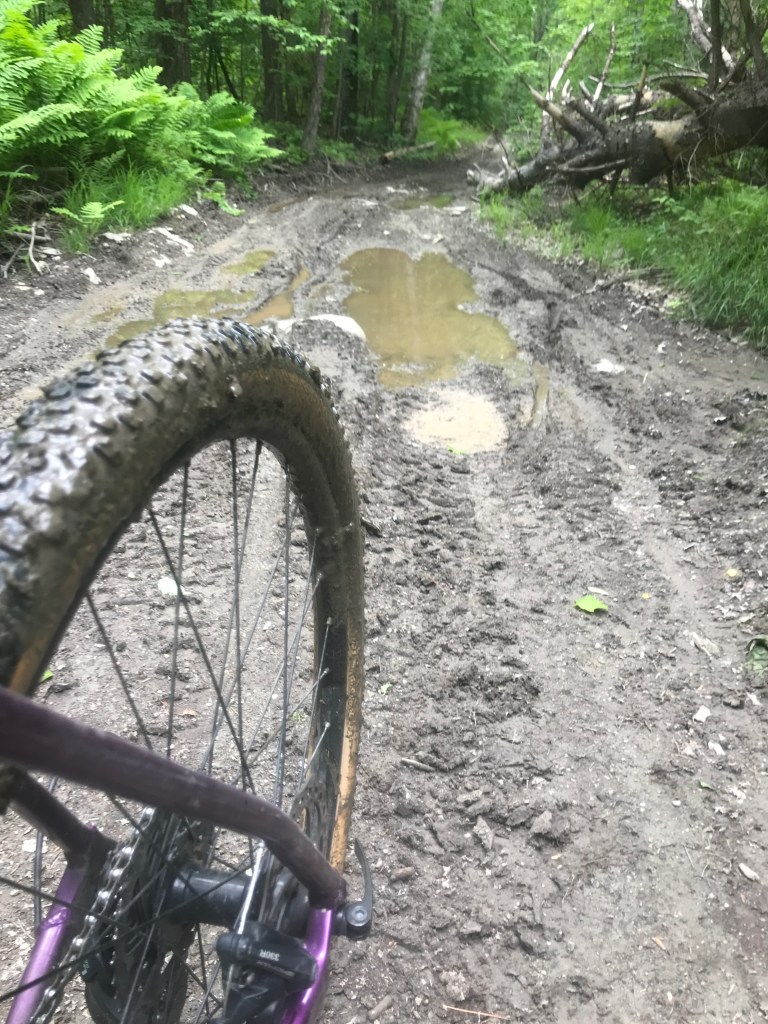
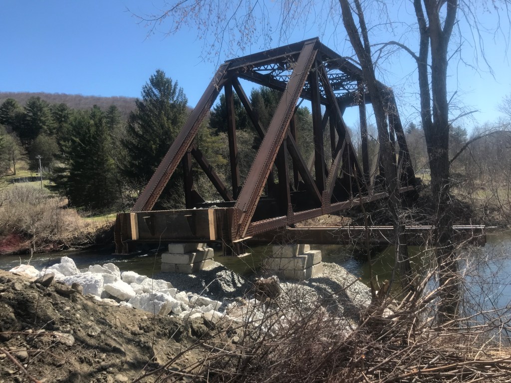
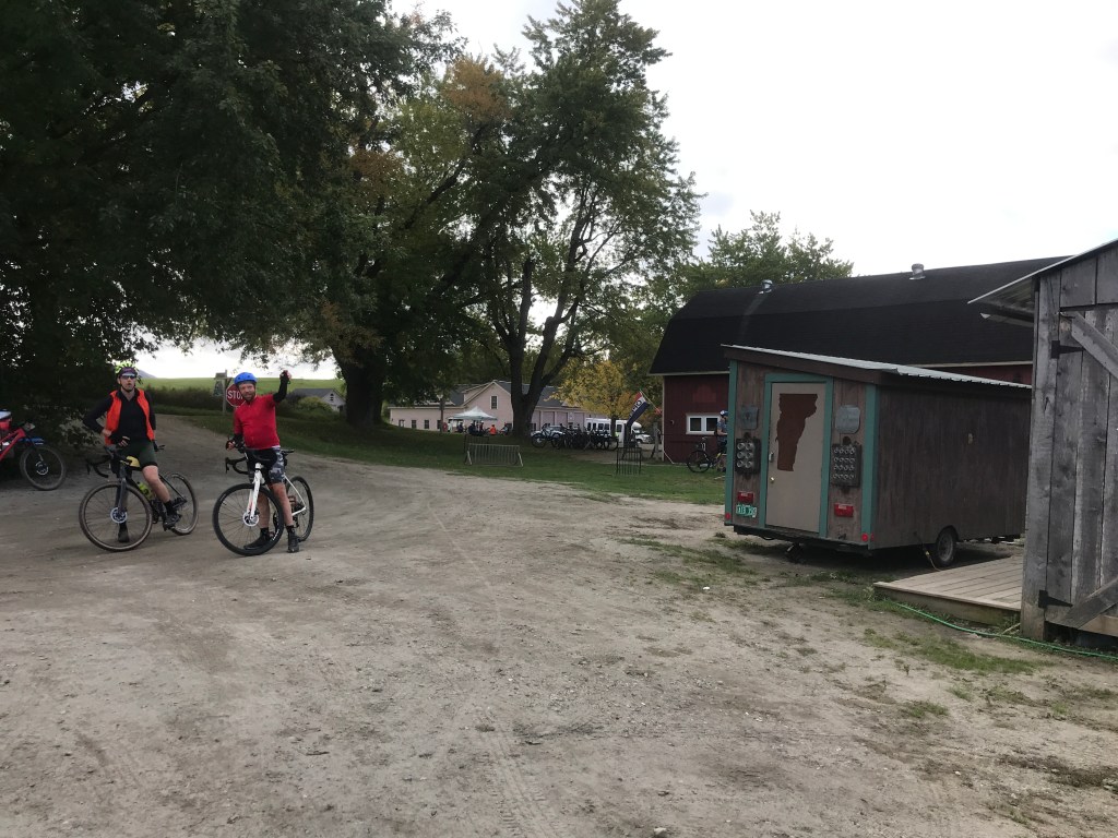
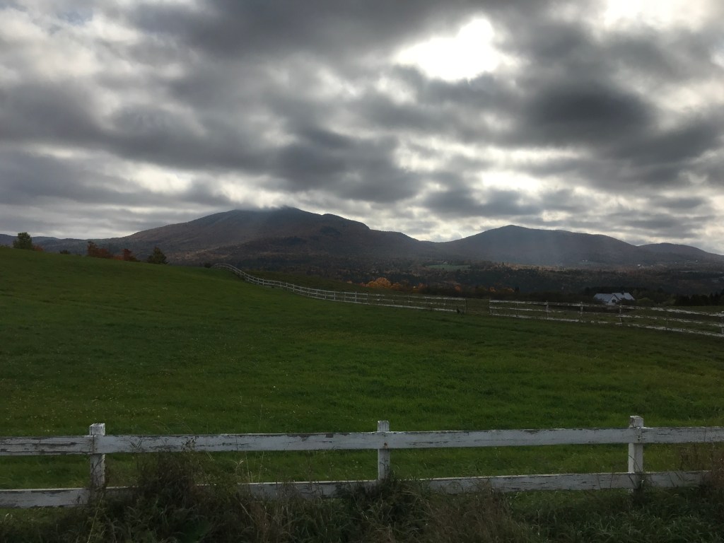
I came across one other biker right at the Long Trail and then had a great descent down towards Green Mountain National golf club. It was certainly a signal that I was now in the land of Killington: the tourist and second home mecca. The eponymous ski area is the biggest draw, and the town relies heavily on the dollars it helps bring in and they’re particular about what their abundant tax dollars go towards. In fact, the townspeople have voted twice to secede from Vermont and join New Hampshire as a way to avoid what they saw as unfair taxation from the state. Killington does have the second highest homestead tax rate in the state (interestingly Pittsfield, just to the north has the lowest) and there are many complicated factors involving the shared funding of schools which are trying to be fixed. I admittedly wasn’t thinking about tax policy, though passing by the dudes playing golf, had me reflecting on the very different ways people choose to spend their free time. After a short stint on Route 100, I turned onto River Road which follows the town’s main valley. I passed over the Long Trail again at Thundering Falls, then pulled over to rest at the Town Hall and its associated recreation area. I had a very steep climb up Quimby Mountain Road ahead of me and needed a snack and water refill. Luckily, the public pool was just opening, so I filled bottles (from a fountain, not the pool) and prepared for the steep slog ahead of me. The area I was entering goes by a few different names: Chateauguay and Notown (ironic, eh?) among them. It’s an area of Killington, Stockbridge, Barnard and Bridgewater that is especially remote timberland and mainly only accessible on logging roads via ATV. When planning the route, I found a segment that showed only 17 people ever had been silly enough to make this climb, so it’s very rarely biked. As I began the climb, the bugs came out and it also became clear I’d be hiking a fair bit. I was able to pedal in spots, but it was incredibly steep: the percent grade averaged in the mid to high teens for a good portion. I was able to reach the end of the really terrible stuff and take a rest and prepare for some continued rougher trails, but they mercifully trended down.

Lefferts Pond 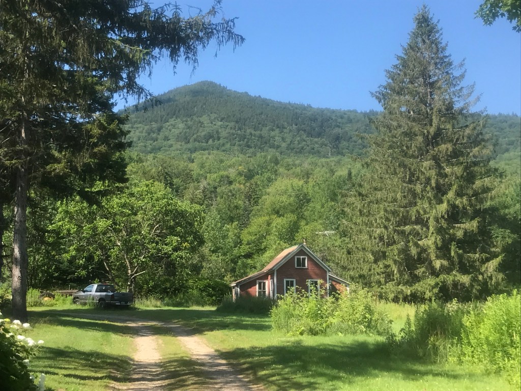
One of the last camps on Wildcat Road 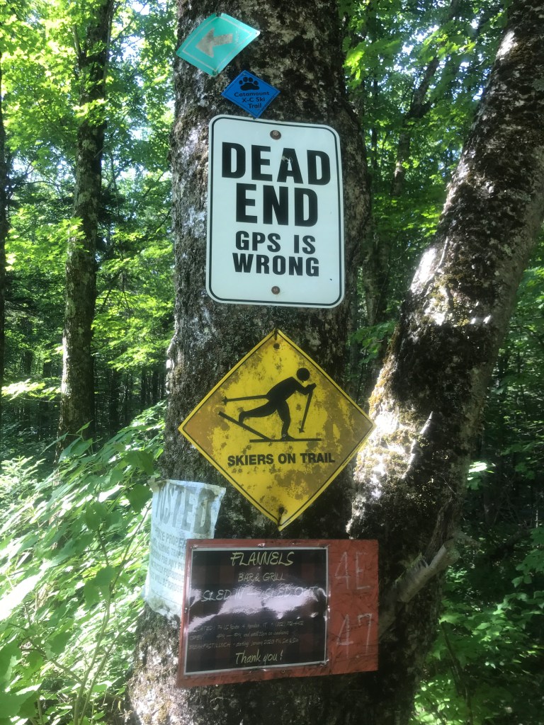
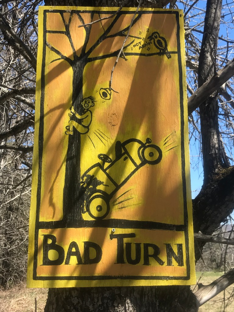
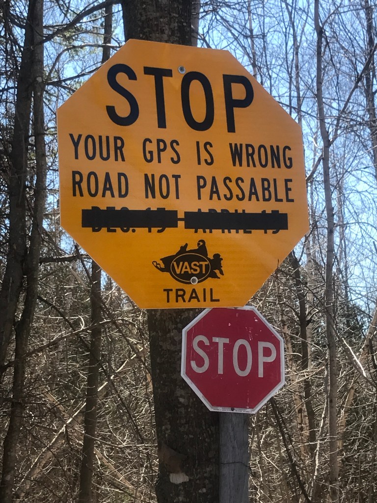
Don’t get lost 
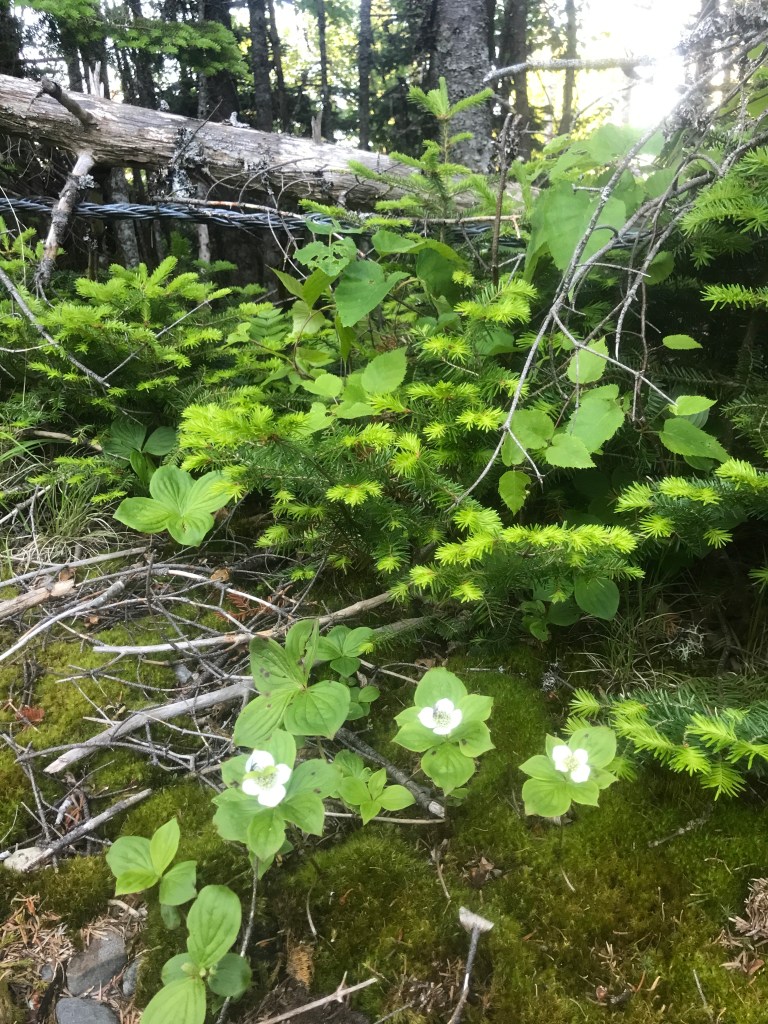
Thimbleberries will be out soon! 
Interestingly enough, there weren’t any 90 degree turns 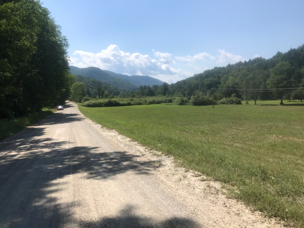
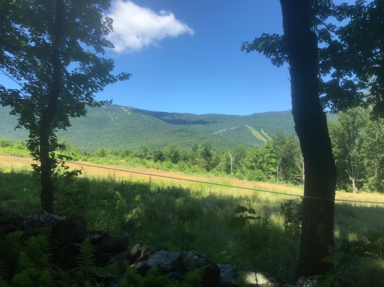
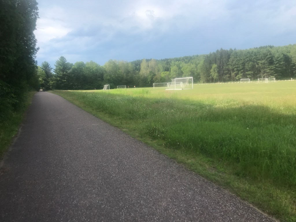
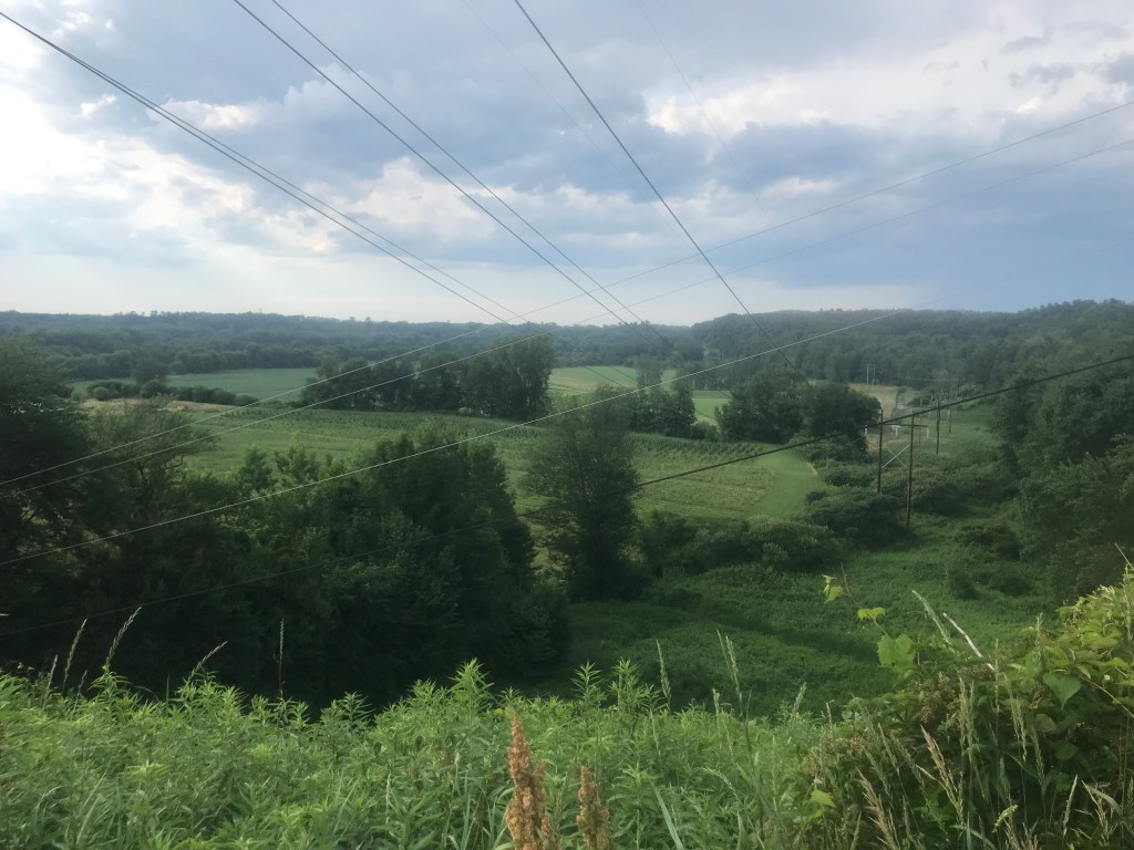
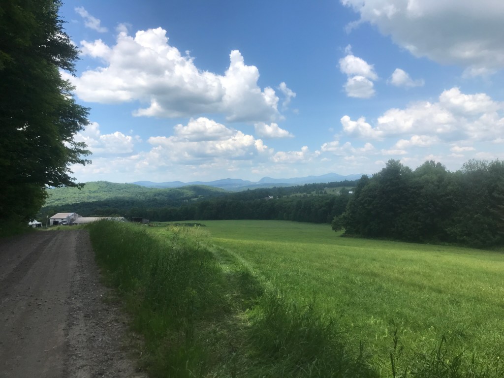
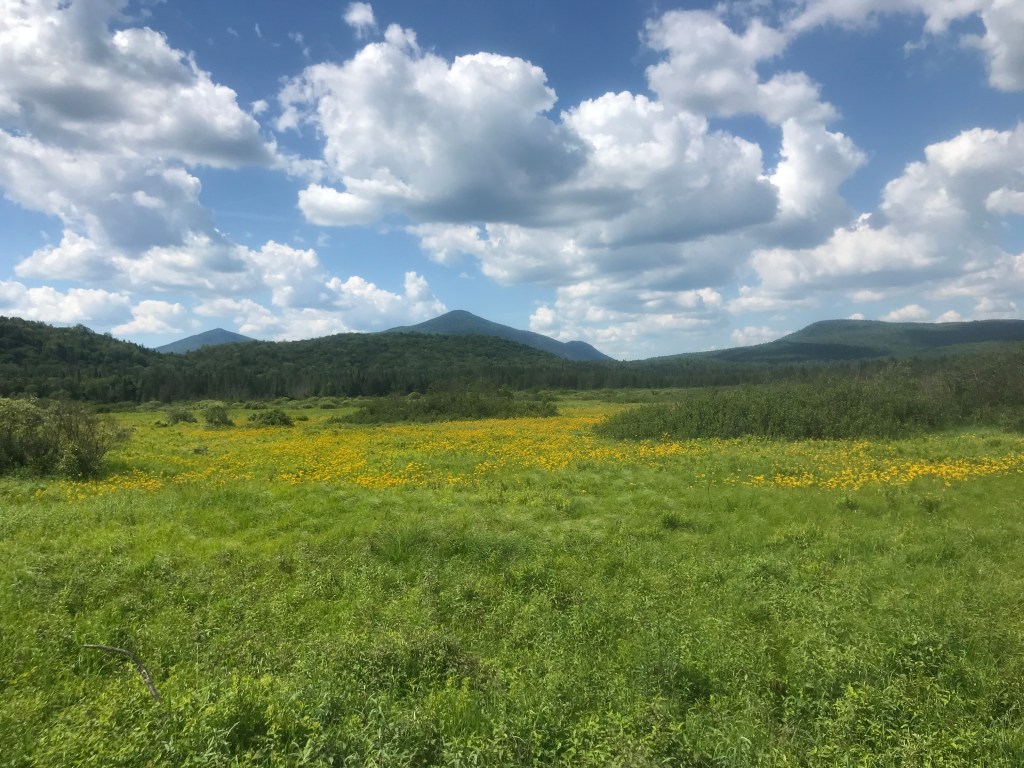
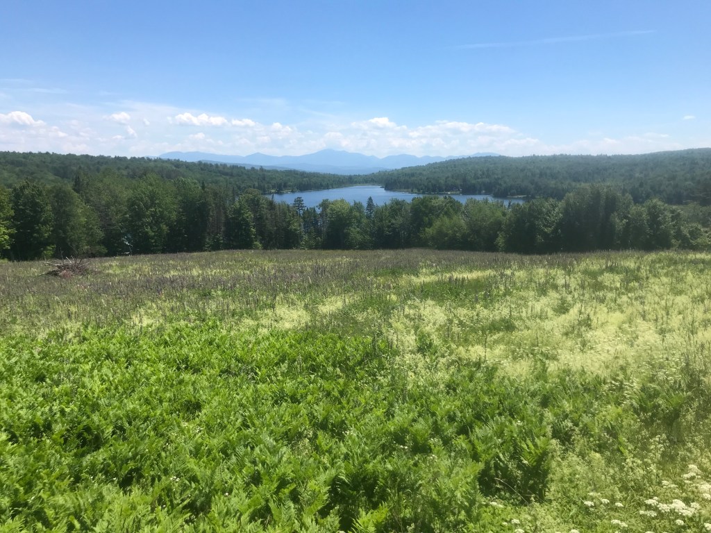
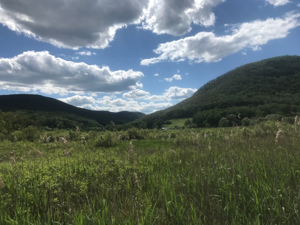
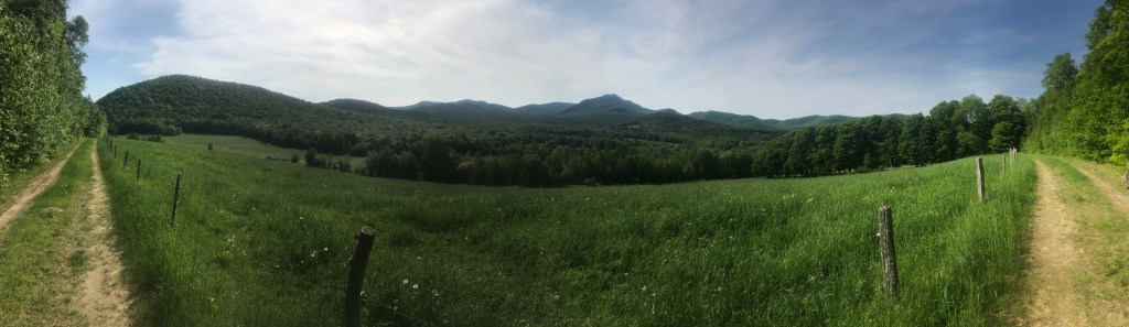
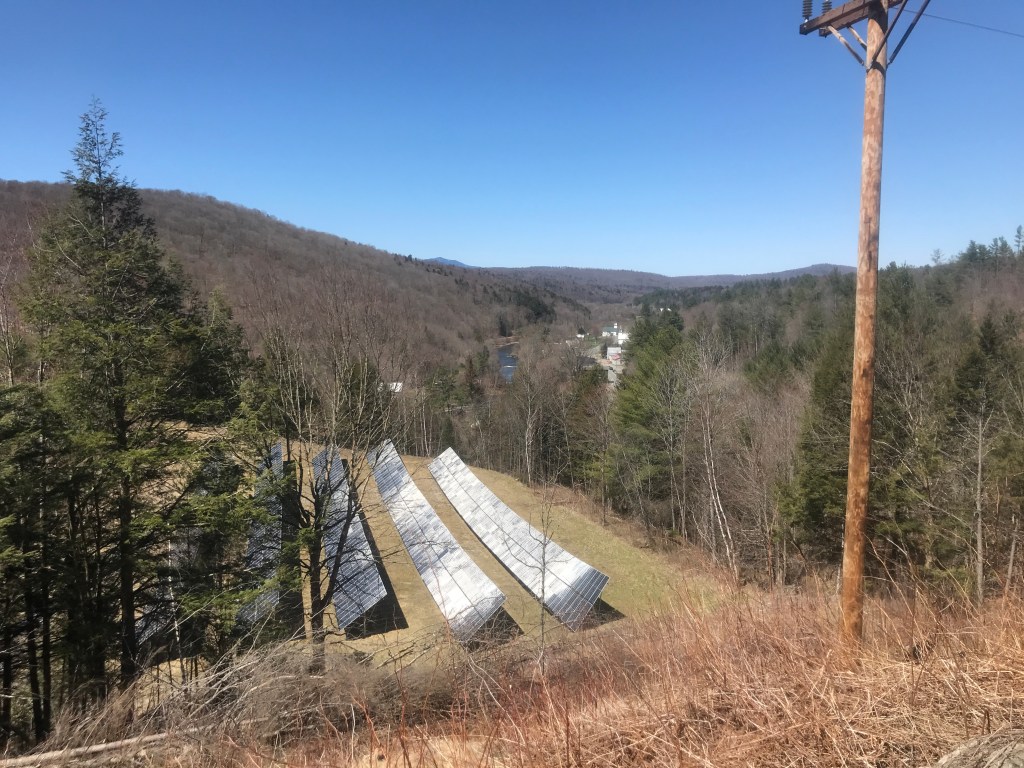
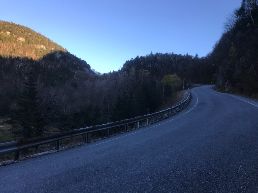
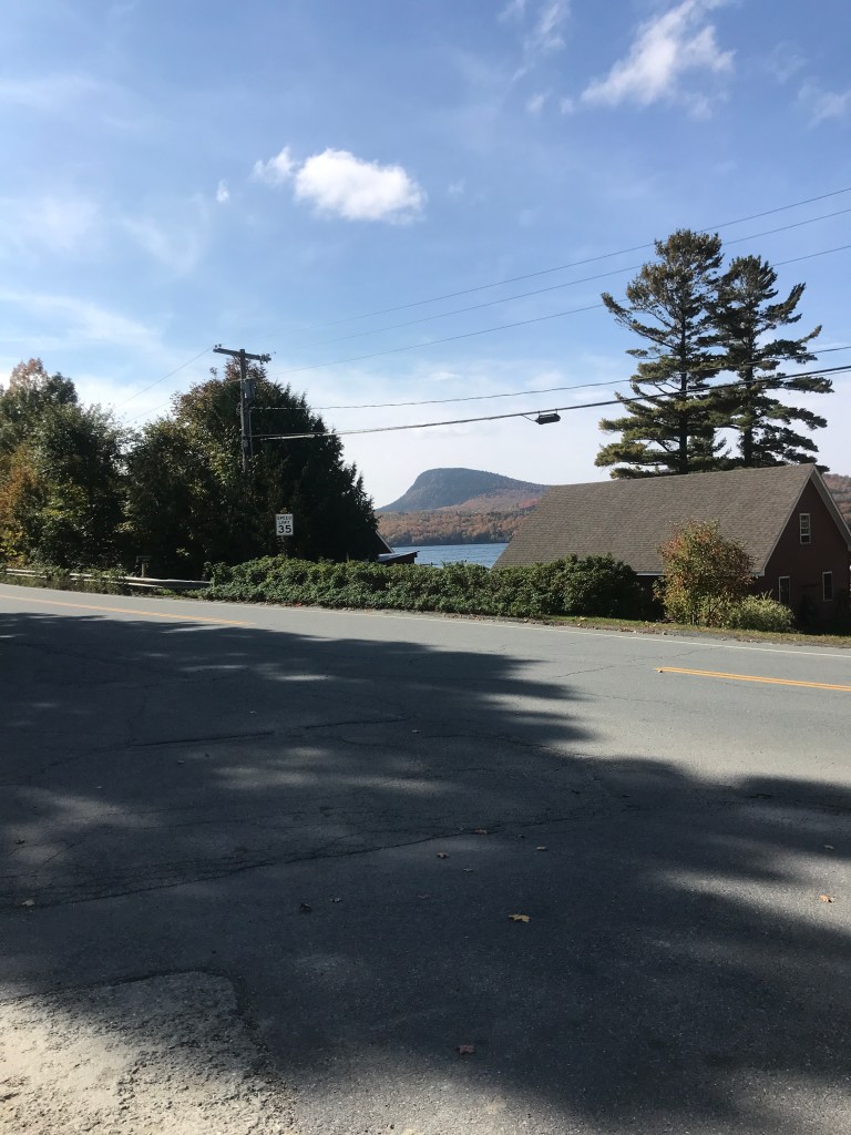
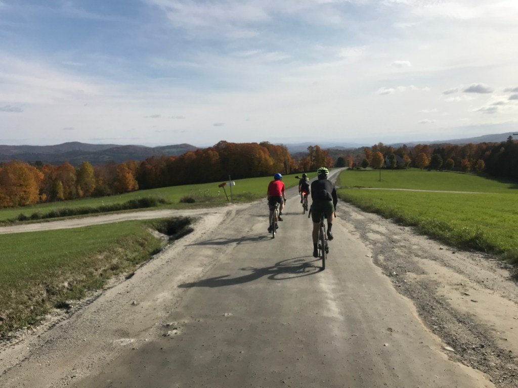
Killington Valley 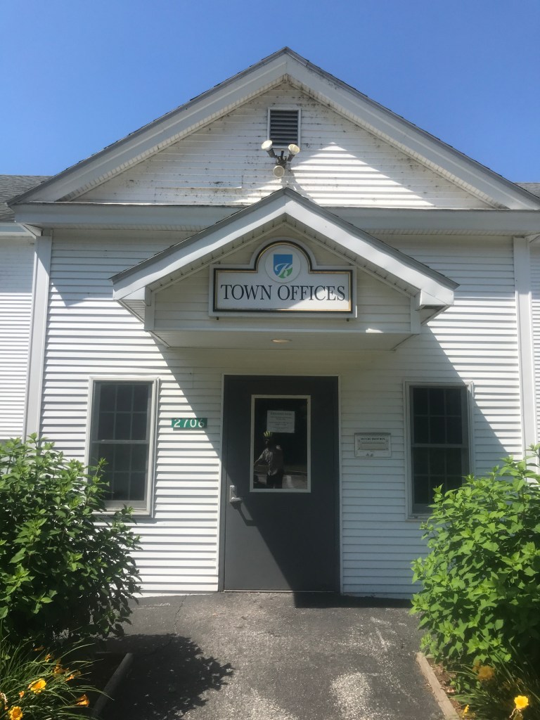
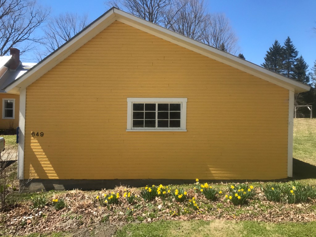
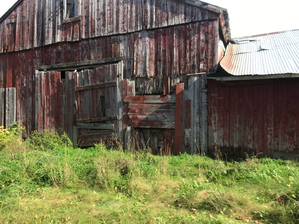
The town offices could use a power wash 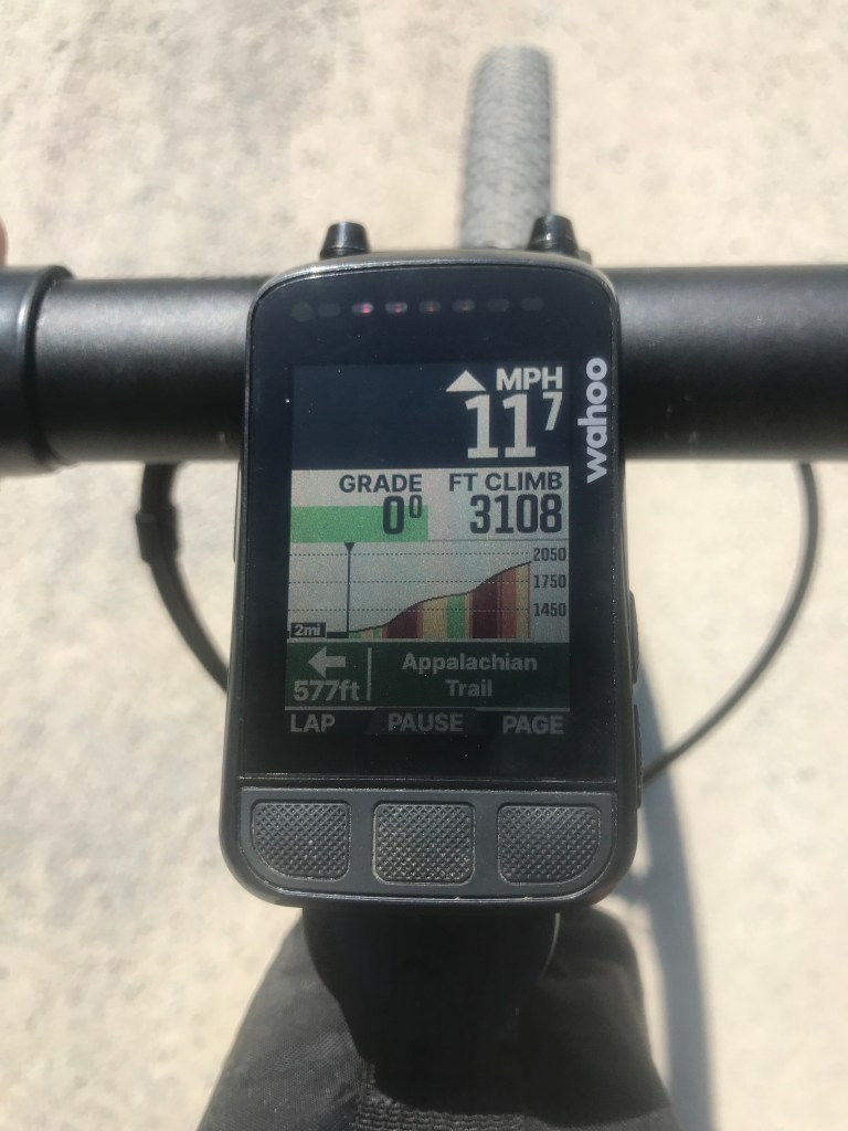
Apparently my steep climb would be on the AT, not Quimby Mountain Road 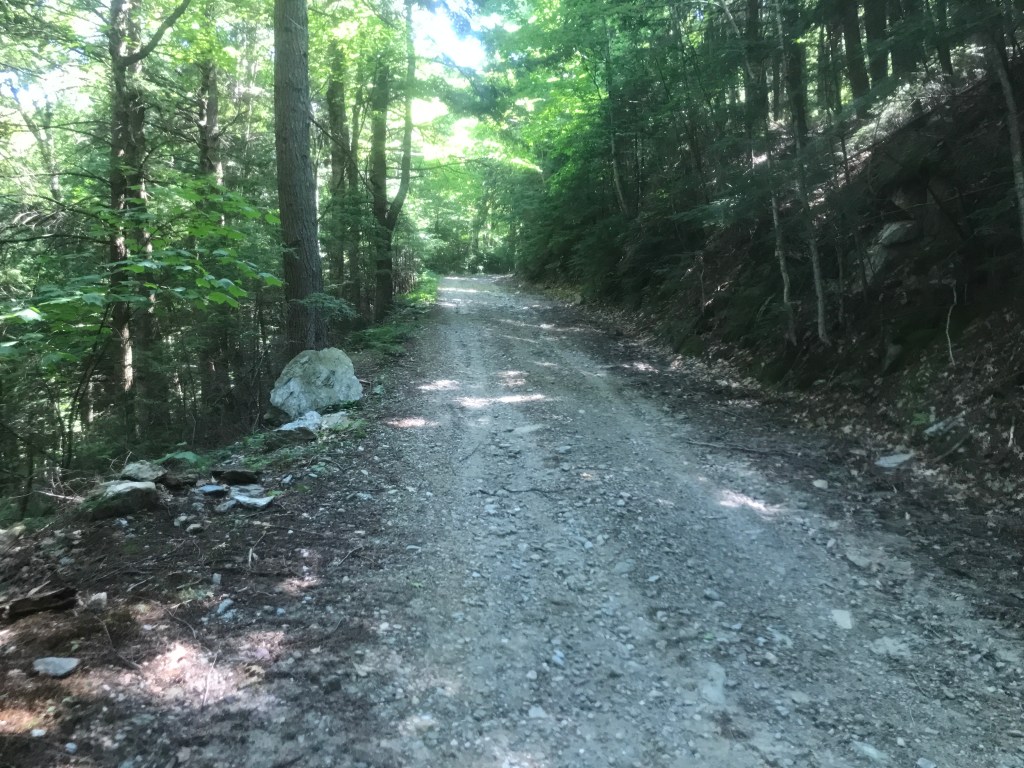
Steeper than it looks 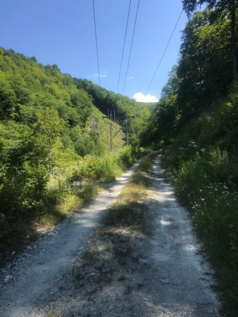
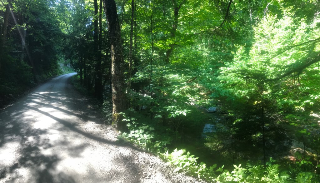
Good road surface though
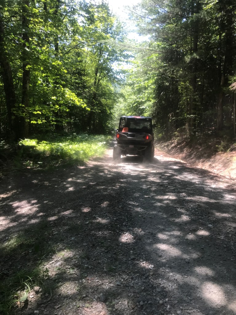
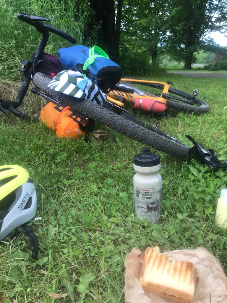
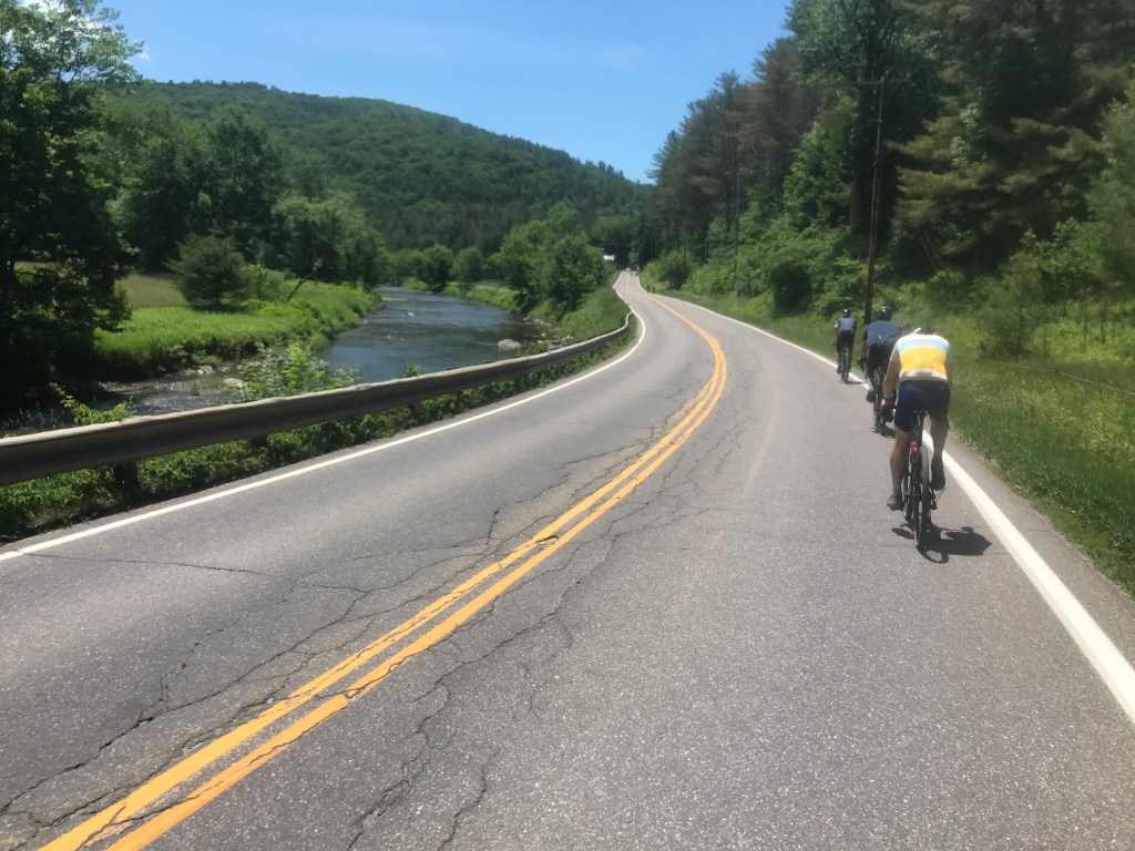
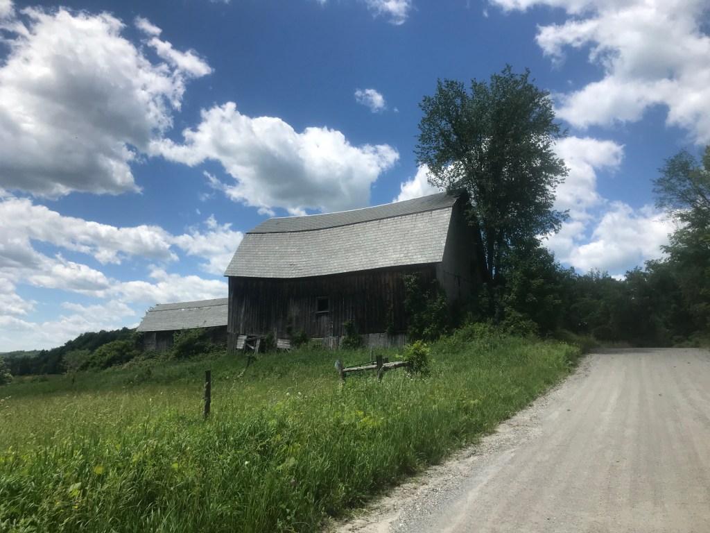
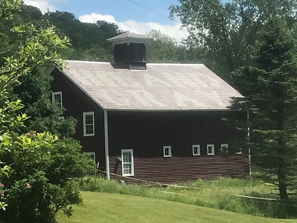
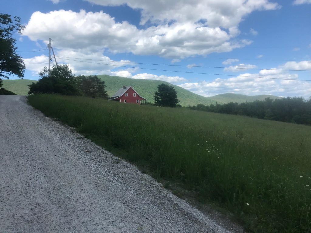
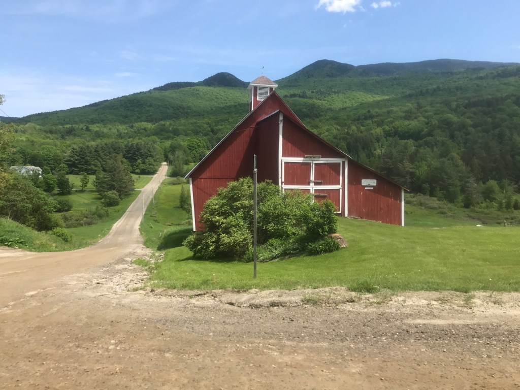
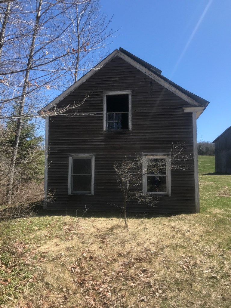
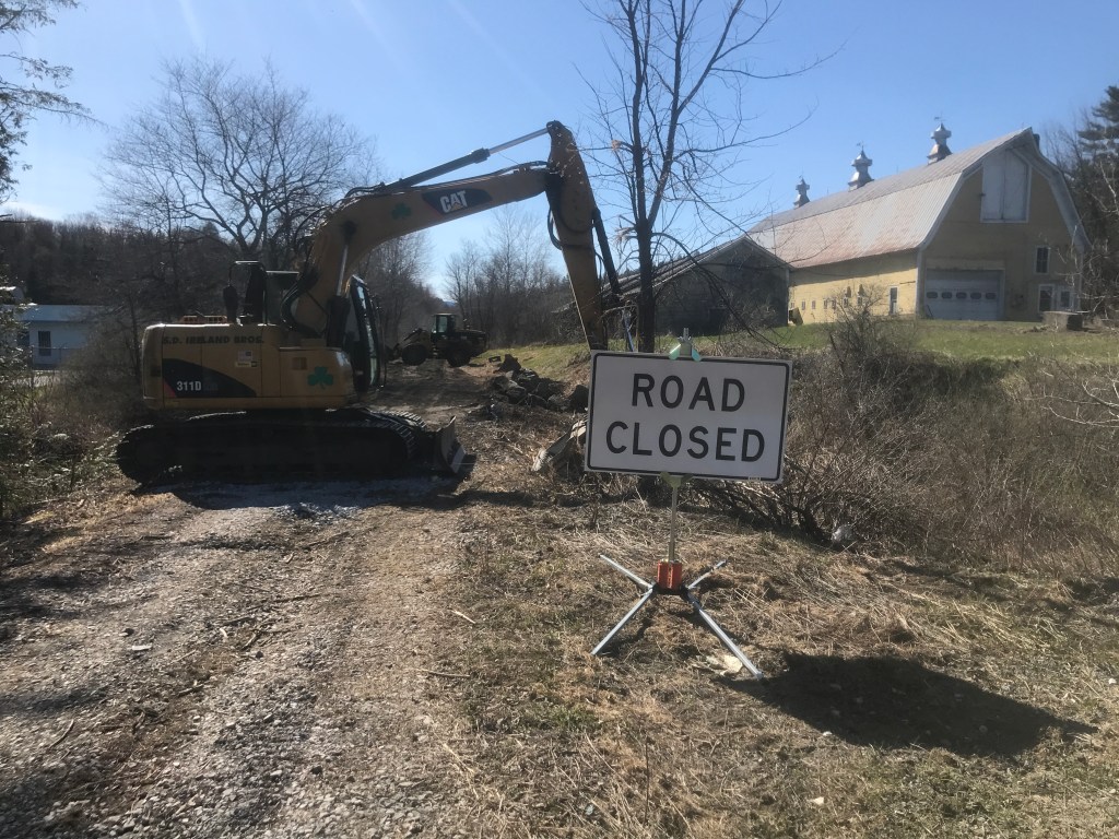
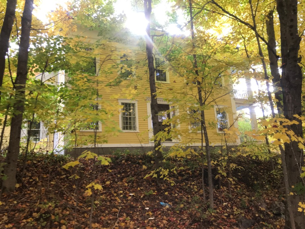
At this point, I was into the fifth town of the day: Stockbridge. Supposedly named after the Stockbridge next to my childhood town, the main portions of town fall along the banks of the Tweed and White Rivers. In fact Stockbridge used to have two main villages, but Gaysville was virtually washed away during the flood of 1927 and Irene obliterated Route 107 again in 2011. Stockbridge, Pittsfield and Rochester were all particularly hard hit during Irene and in fact were only accessible by helicopter for over a week. My ride was still above the river valleys, but I was making my way down quickly. I passed a few groups of folks out in side-by-sides enjoying the trails like me. There are certainly many more miles of trails to the east to be explored, so I’ll be coming back for sure. I popped out at a beautiful vista overlooking the Tweed River valley before a screaming downhill onto Route 100. From here, I took a left over into Pittsfield to grab lunch. I actually lived in Pittsfield (also reportedly named after another neighbor of my hometown) 13 years ago. It wasn’t the best of reasons why: I was hired by the Vermont Youth Conservation Corps to staff a new program working with schools, but somehow they’d forgotten to confirm who would be paying my salary (them or the school). So a week and a half into my training, my co-leader and I were given two weeks of work building mountain bike trails while living out of our cars instead of a long-term position in the school program. It was better than being summarily fired, but it wasn’t a happy time. It did lead to some solid trails (especially Stone Wall) and eventually to me meeting Maddie, so in the long run, it was a positive. I made spur number three of the day by heading to the Original Pittsfield General Store. I’m not sure why they had to clarify “Original”. I doubt anyone would think the grocery store across the street is older. Anyway, I got a delicious turkey sandwich and luxuriated in their air conditioning. From there I backtracked on 100 and climbed up Liberty Hill Road. This was a completely optional climb, as I could have continued on 100 back to the north, but I really do try to get on dirt in every town, and despite the steep up and steep down nature of this climb, I was glad I did. There were some solid views at the top and the Class 4 section that connected me over to Forsha Road was fun. The area towards the top is actually managed for mountain biking and it seemed like there may be a way to cut down to Route 73 part way up the gap climb, but at this point in the day, I wasn’t up for that level of exploring. I cruised down towards 100 and toward the bottom was awed by a Greek revival house that’s being subsumed by weeds and vines. It and its yellow barn were breathtaking. I pushed on past Liberty Hill Farm & Inn, preparing for a lot more time on pavement.
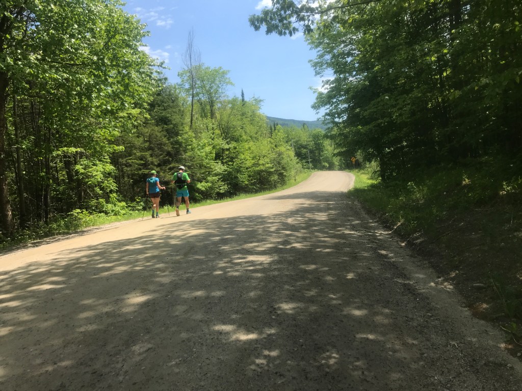
Side-by-side 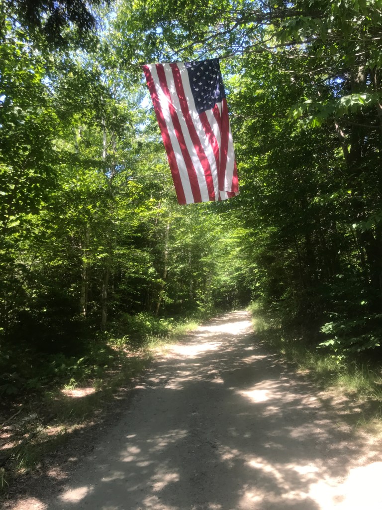
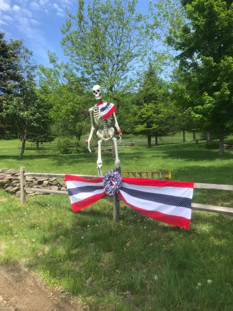
American flag with nothing else around 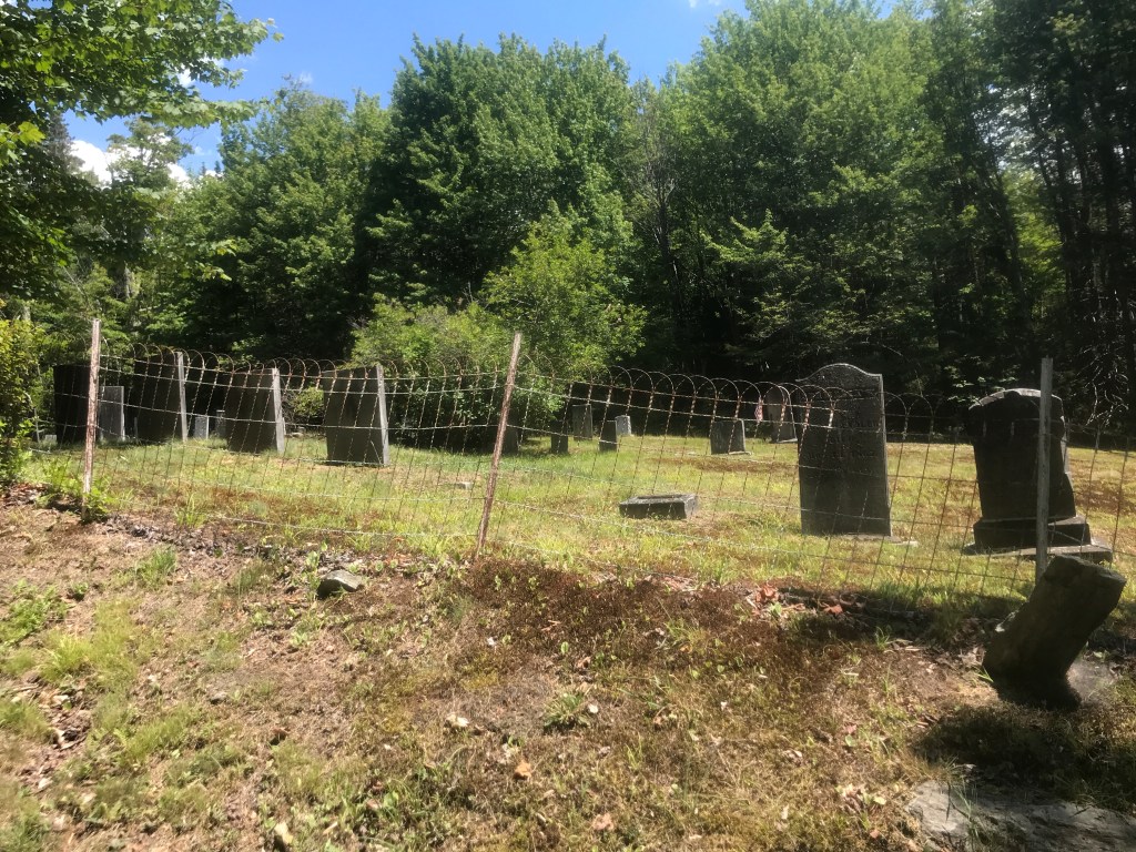
South Hill Cemetery 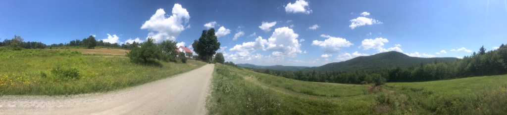
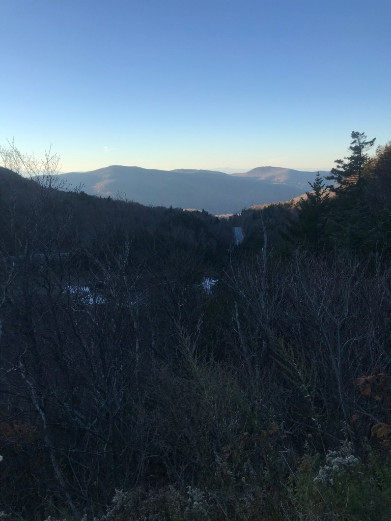
I love when these views spring up on you 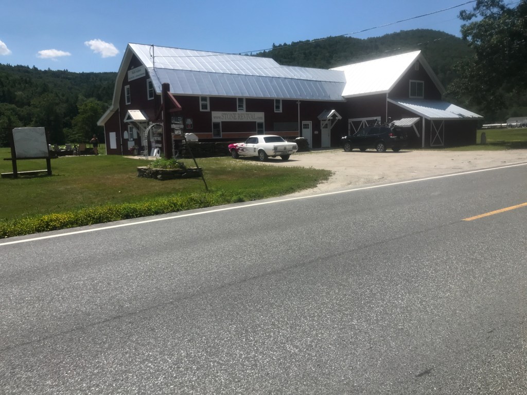
Slick ride at the stone gift shop 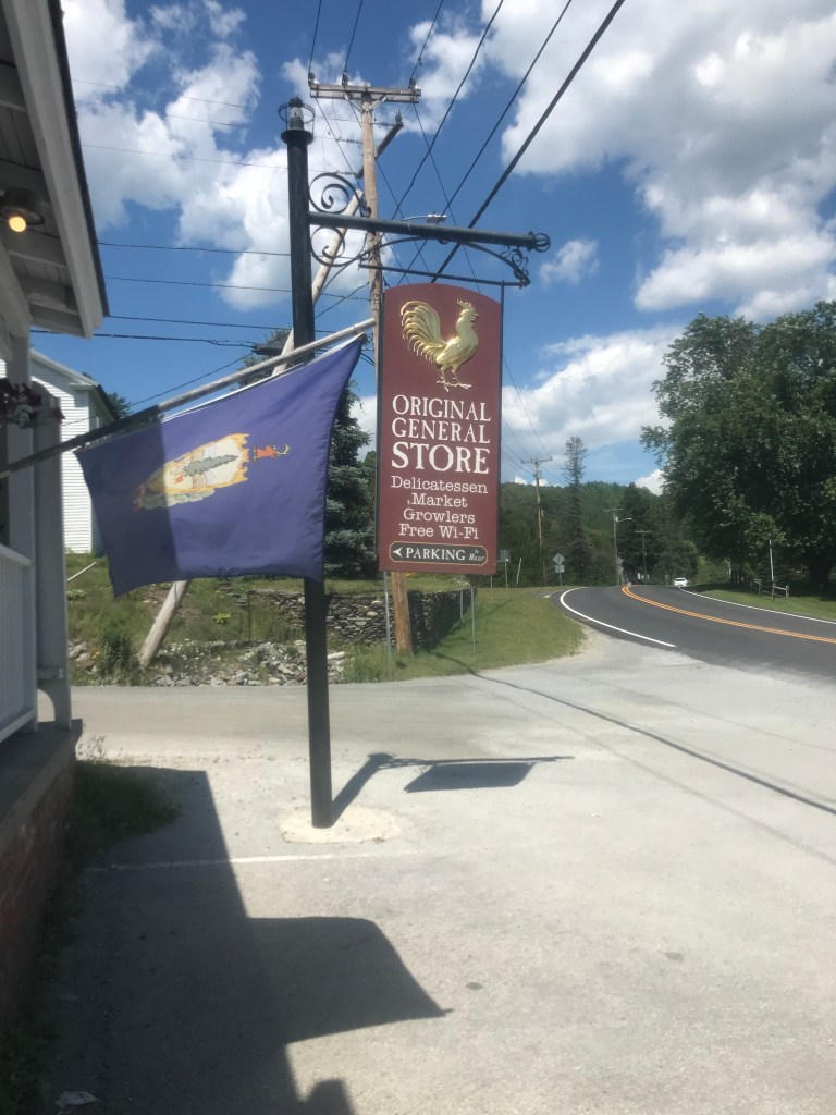
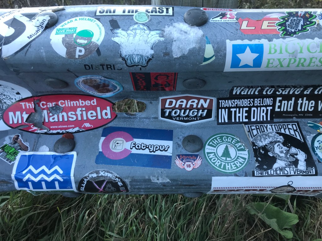
We get it, you’re AUTHENTIC 
Stone all piled up but nowhere to go 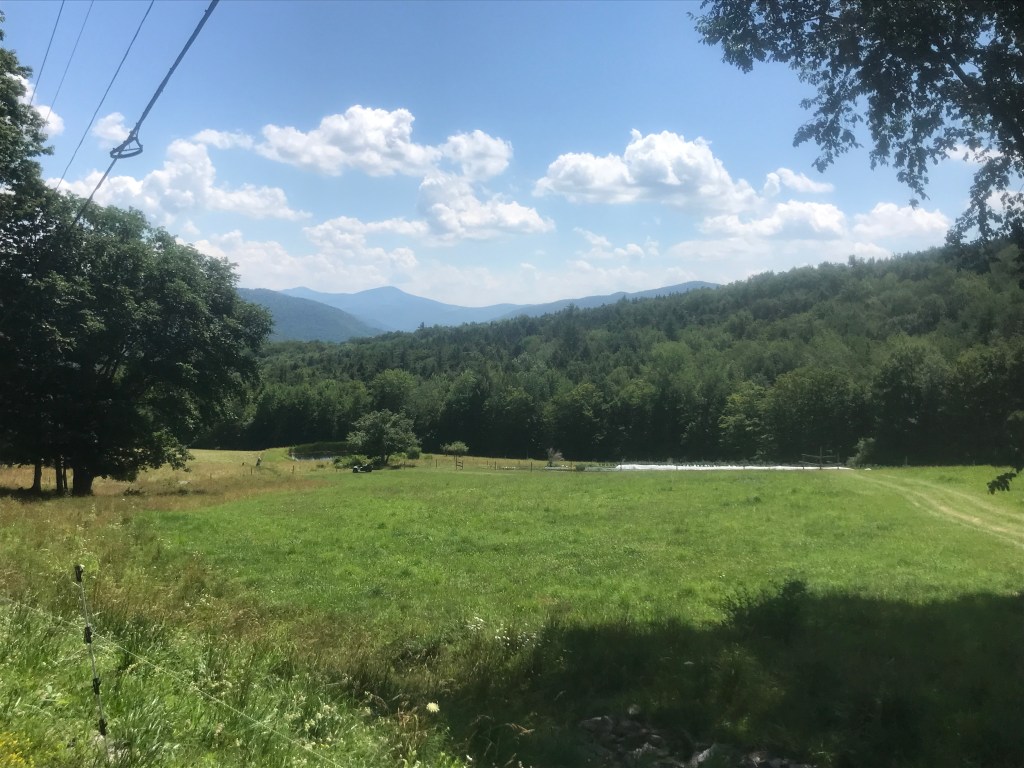
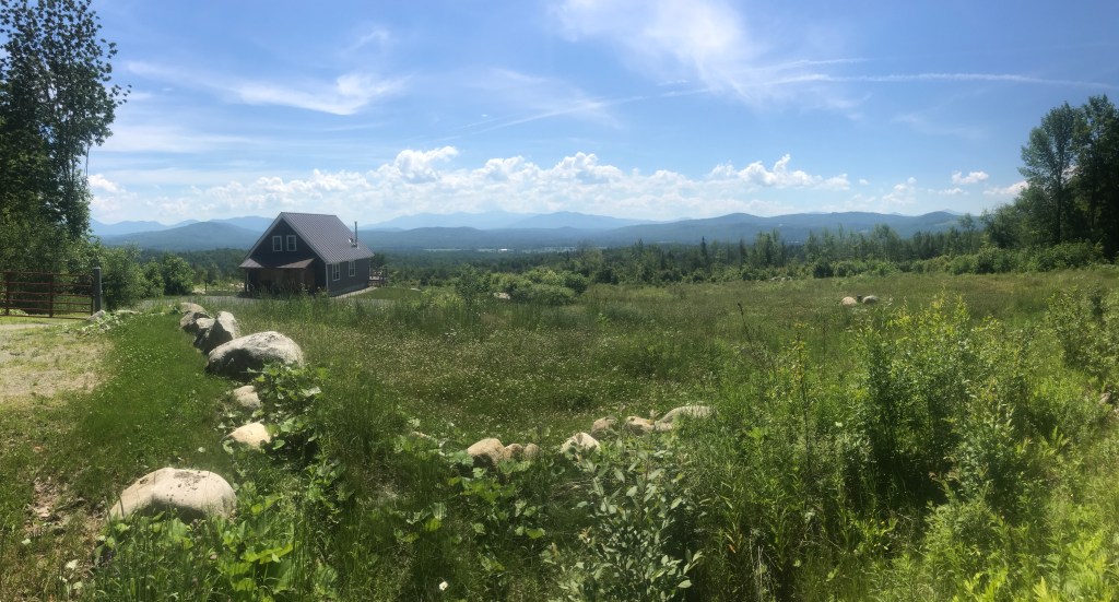
Liberty Hill view 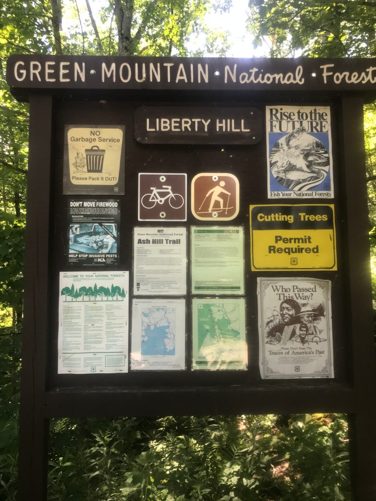
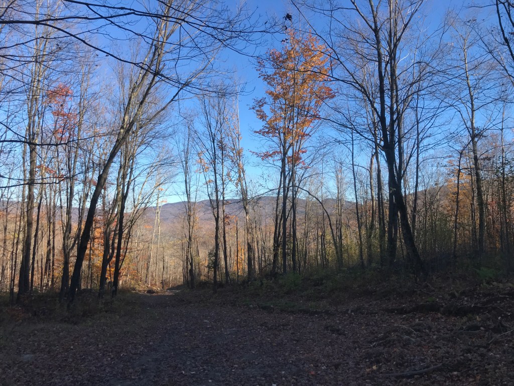
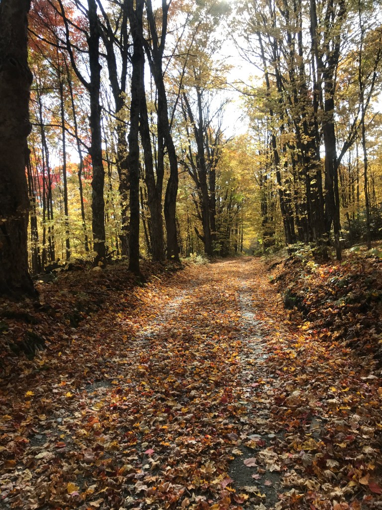
Still in the GMNF 
This is seriously the best view of it I could get 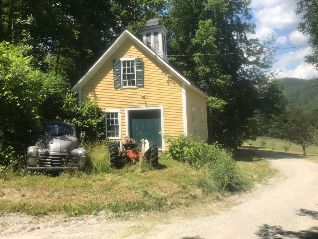
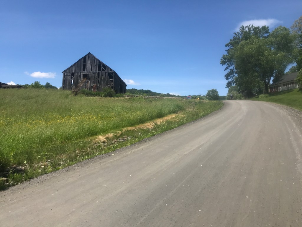
And the accompanying beautiful barn
I was now in Rochester and interestingly enough, I had some trouble finding dirt roads to include in the route. Don’t get me wrong, there are plenty around (especially north and east of the village), but those didn’t make sense to include since I had to get back to Goshen. I figured out an option which I’ll explain shortly, but first I went north into Rochester, creating spur number four of the day. Rochester is a pretty happening town. They have really embraced outdoor recreation as a driving economic force. In the wake of Irene, a group (now called Ridgeline Outdoor Collective) was formed.
“It was really a way to rebuild these communities that were hit by this storm. We hoped it would give folks something to look forward to and would help some of the struggling businesses. But at the core of it, we’re doing it because we want to create more opportunities to recreate in these small towns.”
-Zac Freeman, a Ridgeline Founder in Outside Magazine
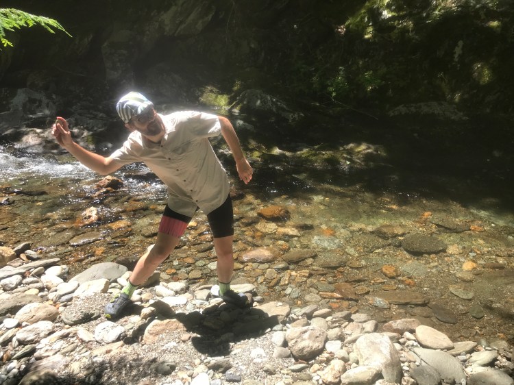
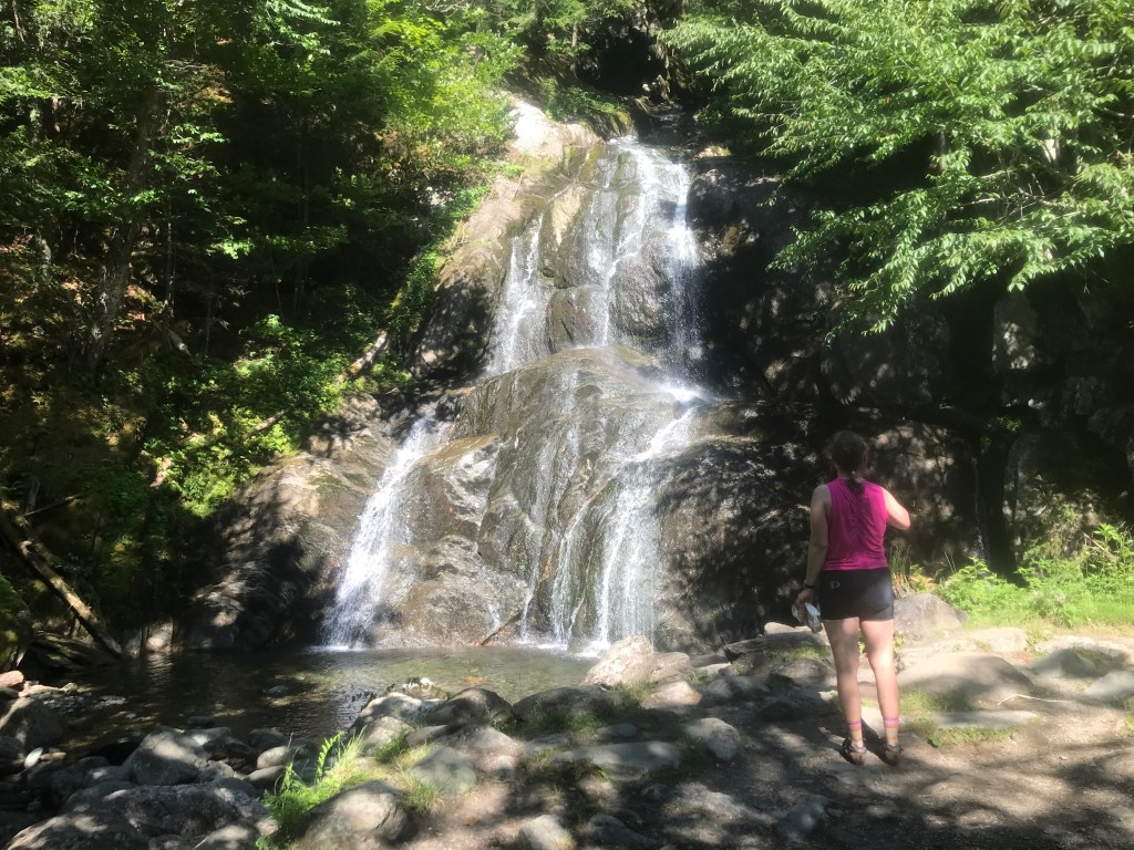
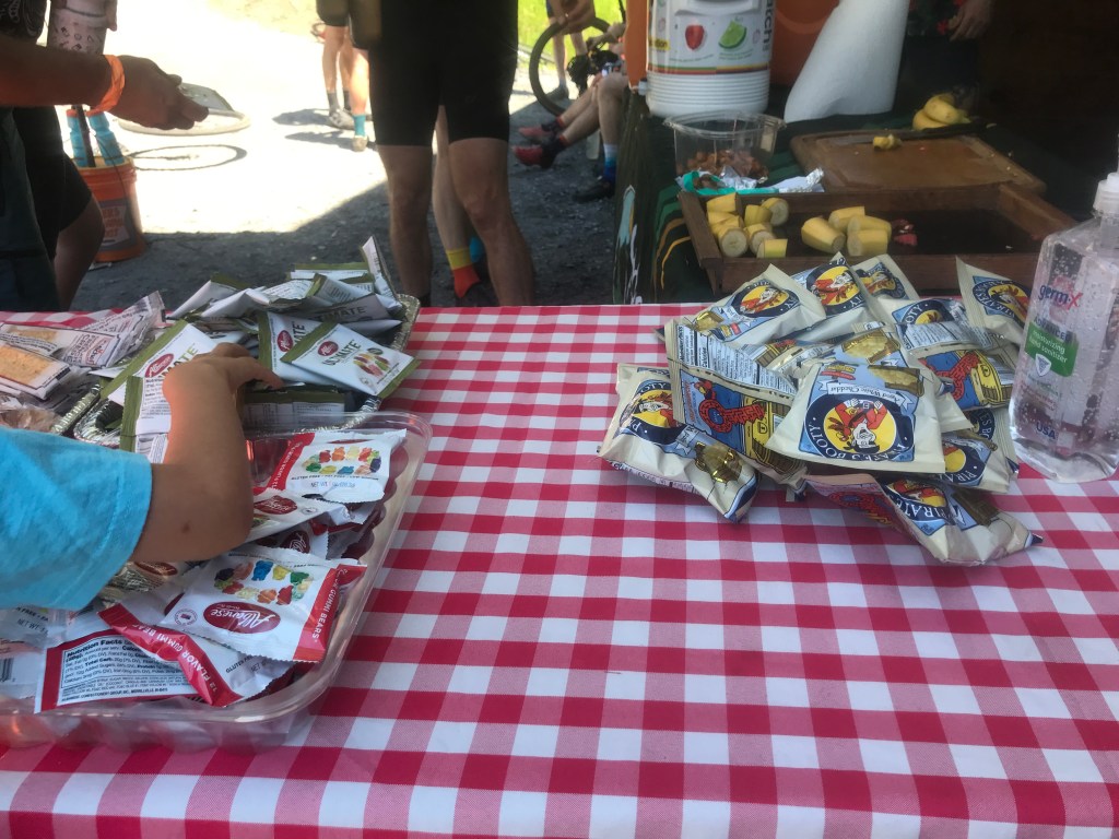
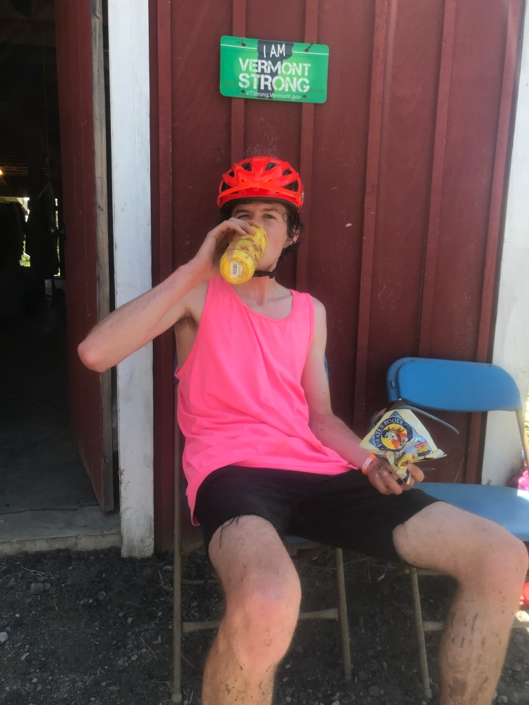
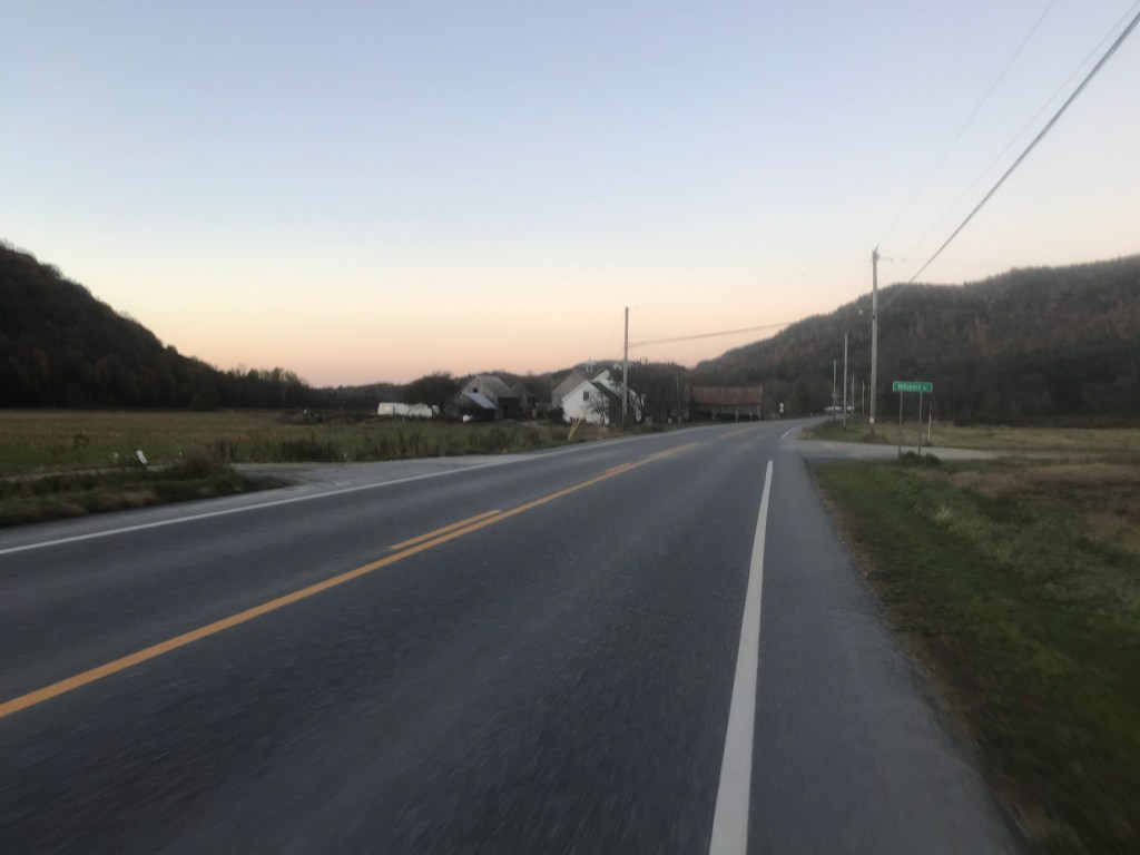
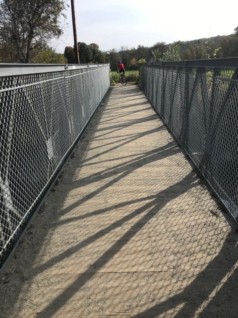
The town seems to be doing well and was hopping when I rolled in. I sat on the town green for a bit eating a snack before heading over to the Mini Mart to refill water. I would need the energy and hydration for the next section, because it was basically the crux of the day. The steep climb out of Killington was tough, but relatively short, but I now had a 9 mile 1400 foot climb ahead of me. I began in earnest and the lower stretches aren’t so bad, but the other tricky thing about this climb is that the gradient slowly increases as well, until by the top you’re contending with about 10% – not enormous, but after 8.5 miles it’s not great either. So I strapped in and tried to get into my best climbing cadence and enjoy the scenery. There were some nice mountain views and a funny roadside sight here and there, but mostly I just spun. About ⅓ of the way up, I did take a slight detour (spur 5) onto Bingo Road to get some dirt in. This long dead end road has a number of free campsites and would be a good candidate for a stop in a longer overnight tour. The road itself is nearly 6 miles long, but I only went about ⅔ of a mile down, but it was still dirt! I got back into climbing mode and continued up. At one point I was passed by four bikers zooming down from Brandon Gap and it turns out they were on the tail end of a 131 mile 12,000+ foot 6 gap ride! Oh and one of the guys is 63! I hope I’m still doing things half as hardcore at that age. Luckily, I didn’t know that demoralizing information at the time and I kept chugging uphill. I eventually reached the top of the gap and had an interesting thought pop into my brain. On the Long Trail, gaps like this are typically a low point with a climb coming afterwards and it’s the opposite for us cyclists: they’re the nexus where these two recreational sine waves converge. I paused there to collect myself for the fast descent, then flew down the steeper side of the gap having to hit the brakes to turn right back onto Hathaway Road. I made the brief climb, passed Camp Thorpe and returned to the Goshen Town Hall, completing my last spur of the day and this ride. I packed up and began to drive home, stopping at Bristol Falls for a refreshing dip before heading home.
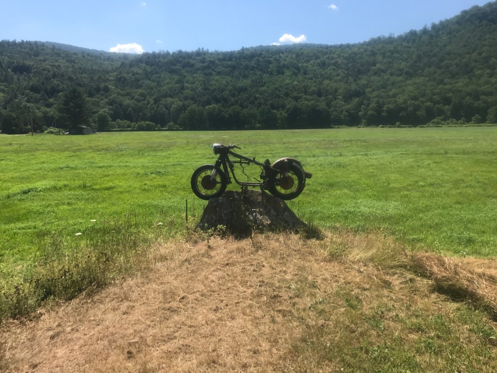
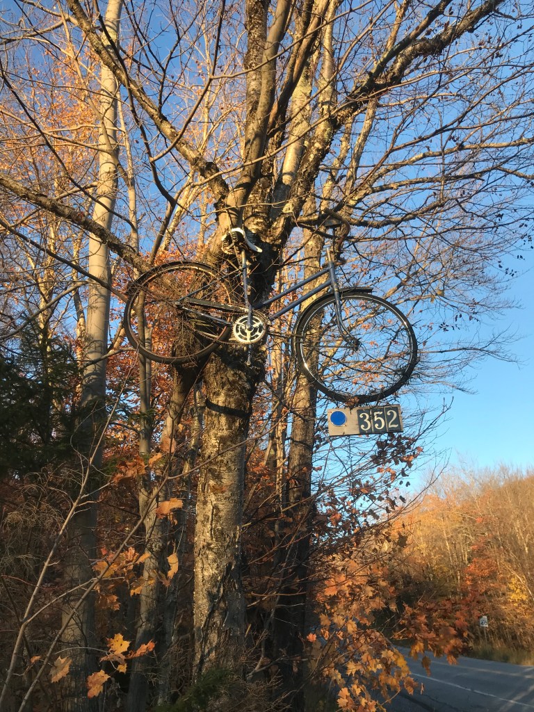
Look! Another bike without an engine! 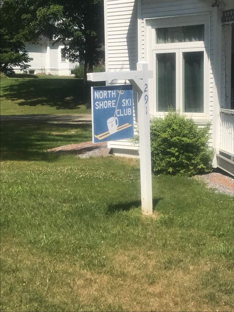
One of the many “Ski Clubs” along Route 100 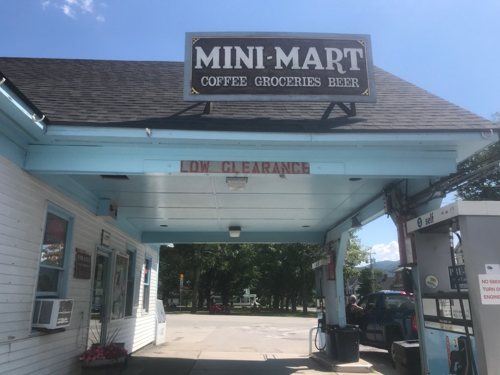
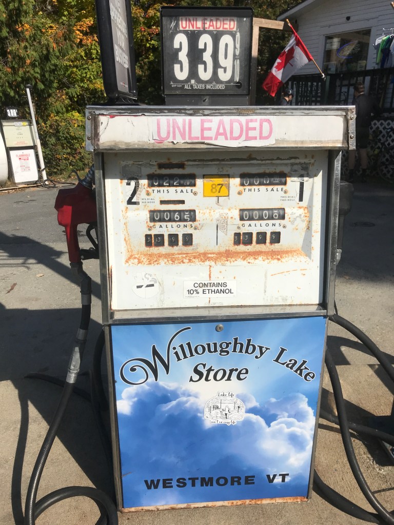
This canopy dates the gas station to probably the 1920s 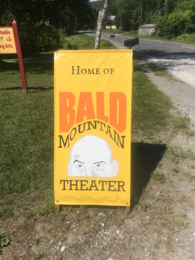
I love the raised eyebrow 
A PT Cruiser convertible on Brandon Gap road 
Three in a row! 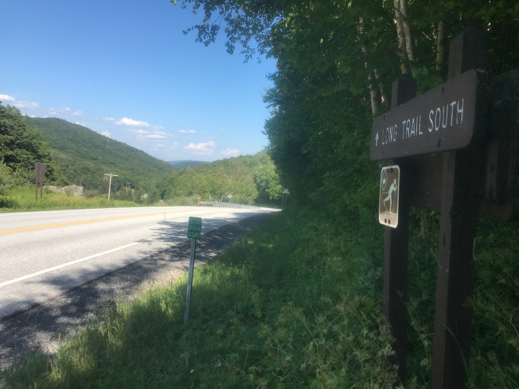
Sine waves converge 
Back on Hathaway 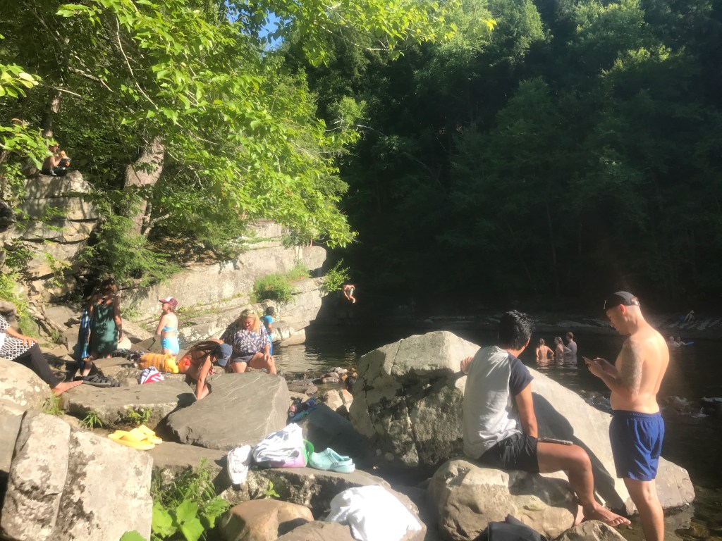
Return home pitstop at Bristol falls (note the jumper in the middle)
The Details:
https://www.strava.com/activities/7486126758
https://ayvri.com/scene/gdkz16el5z/cl5qqyi8900023b6uyuwmcvev


