There are precious few rides left in this project (I’m down to just five if everything goes to plan) and the warm riding days are getting fewer and farther between this season. So given those realities, two things recently became clear: Dirt 251 will extend into a fourth and final year and also, I wanted to be sure I checked off a great ride given how this day was shaping up. The weather looked prime and this route was one I’d been crafting and tweaking for a long time. It borrows elements from both the VTXL and Vermont Super 8 and includes some of the longest stretches of Class IV/ATV trail that will be included in this project. I also knew the location of this route in the southwest corner of the state would be a challenge to reach, so I packed everything early on a Sunday up and got ready for a long day.
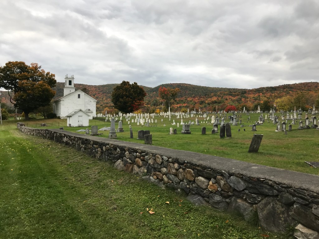
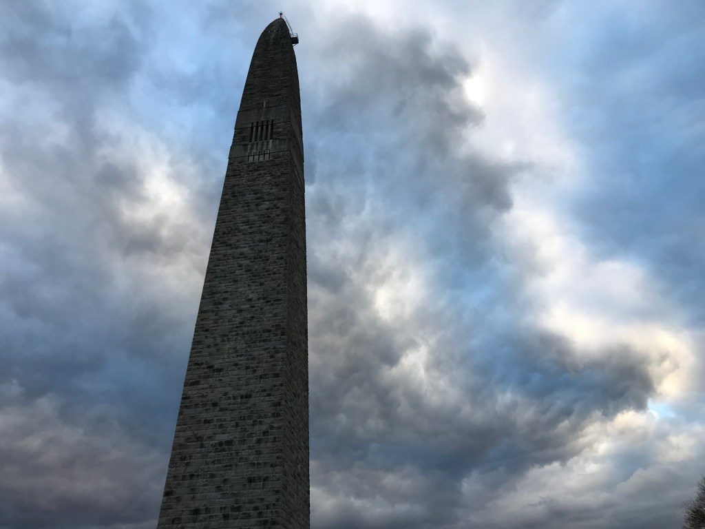
The ride started at the Bennington Battle Monument, a bit over two and a half hours south of home. The imposing spire was completed in 1891, 141 years after the Revolutionary War battle that was fought, not in Bennington (as one might expect) but across the line in Walloomsac, New York. Despite this, August 16th lives large in the history of Vermont and is one of two state holidays that aren’t also federal holidays (the other being Town Meeting Day). To be fair, it is named after Bennington because the British were headed for a cache of arms stored in Old Bennington, where the monument now stands. I parked in amongst the smattering of tourists soaking in the scene and trying to stick to the sun to stay warm. I quickly got ready and was on my way by 9:30. I headed south on Monument Avenue past immaculate early American homes south towards the Old First Church. The church was the heart of Old Bennington and is now famous for being the burial site of Robert Frost. Across the street is the decidedly spooky-looking Walloomsac Inn. It’s a bit incongruous with its buttoned-up and oh so twee surroundings. It hosted many presidents over the years, but it hasn’t been a functioning inn since 1984 when it became a private residence. Apparently Arlene and Donna Berry lived there and took their father’s wish that nothing be done to the inn quite literally. Recently both sisters passed away and the last living sister and her family are working through how to best move forward.
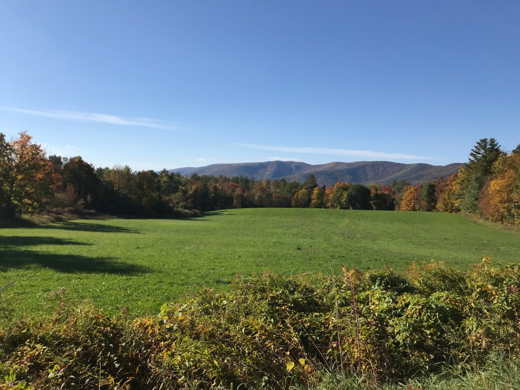
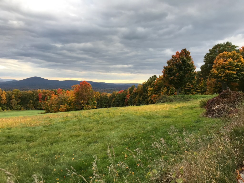
I pushed on, turning west onto Route 9, soon beginning my climb up Mount Anthony Road. The eponymous mountain also lends its name to the local high school, hosts a trail network on its eastern flanks and serves as a backdrop for the monument. The dirt road climbed steadily but quietly through the golden leaves. I got a fun stare (of awe?) from a kiddo of about 5 or 6 as I passed him and his Dad, out for a walk. Once through the tight notch at the top, the road drops down into Pownal. Growing up, I mainly knew the town for the Pownal View Barn, a building that seems to ooze downhill along Route 7 a few miles north of the Massachusetts border. The quieter parts of town were just lovely. There were hidden away homes and barns and plenty of stunning views to the muscular ridges of the Taconics. Pownal is also the home of Joe Cruz: an inspiration I believe I’ve mentioned here before. Getting to ride some of the roads I see on his Strava and occasionally on his Tuesday Night Rides was a thrill. No sightings of him though: it turns out he was in North Carolina for the ribbon cutting for the Eastern Divide Trail.
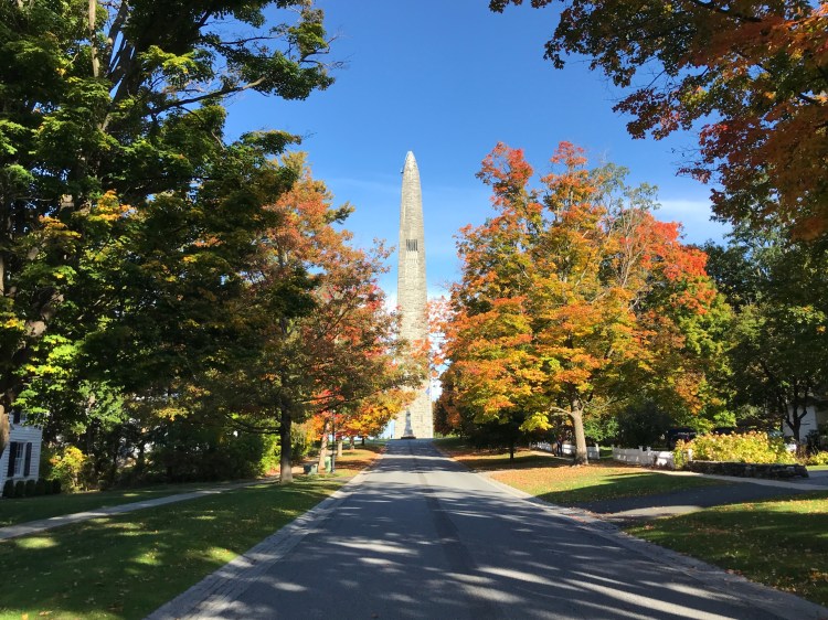
The Monument, looking resplendent 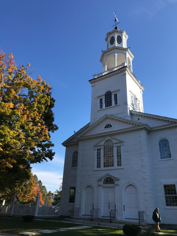
Old First Church 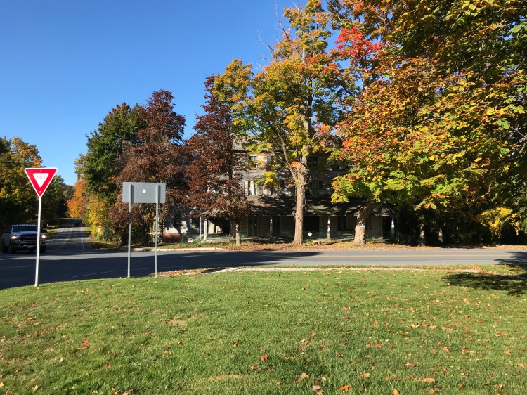
Walloomsac Inn (hard to appreciate the the decrepitude from this angle) 
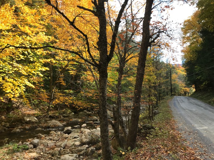
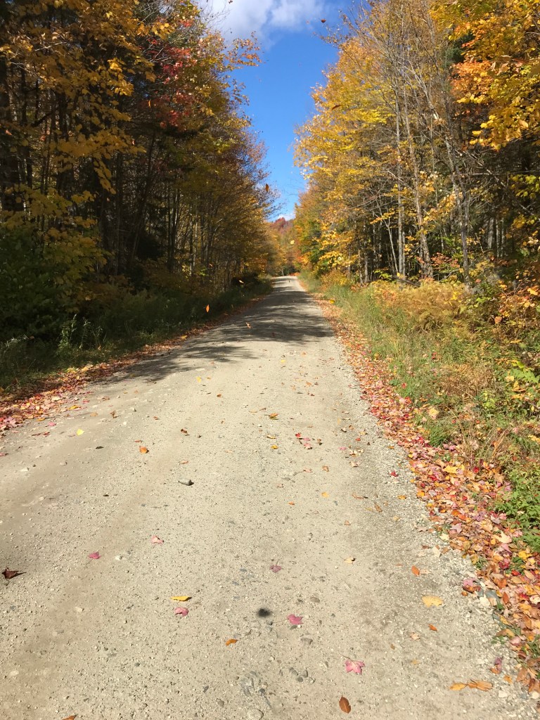
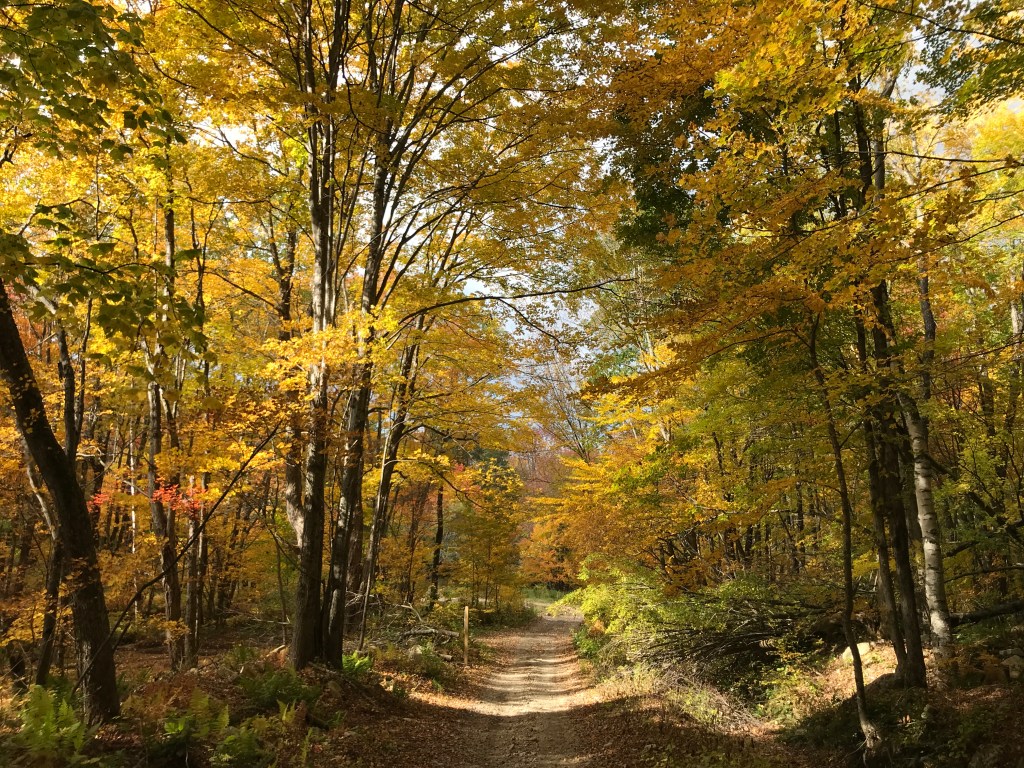
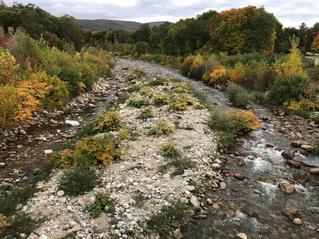
The trees are just showing off at this point 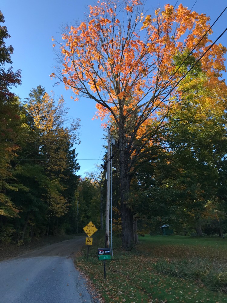
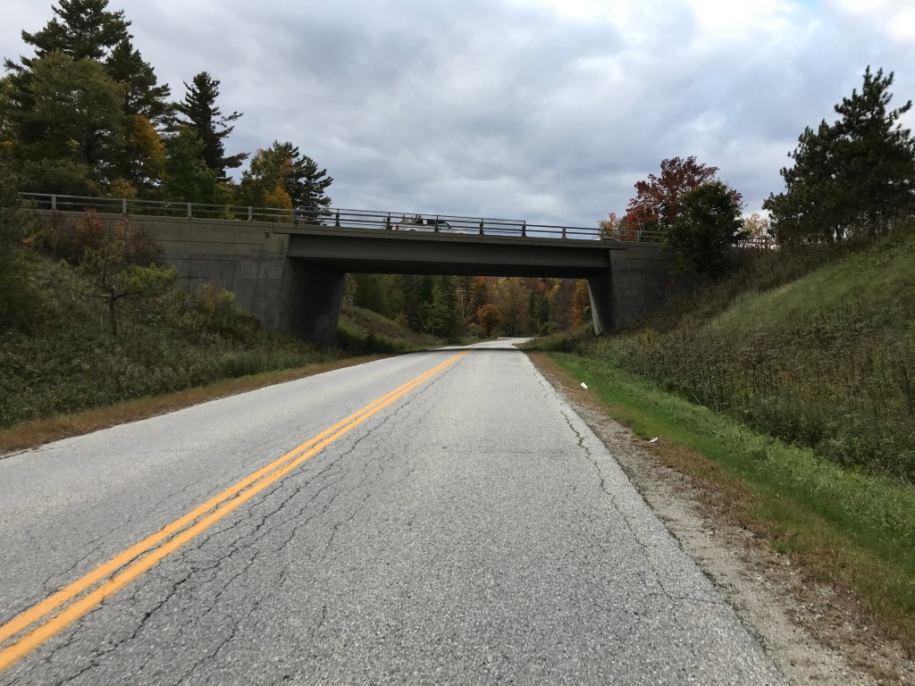
“Winding Road – Next 3 Miles” and “20 MPH” signs mean this road will rock 
Inside the kaleidoscope 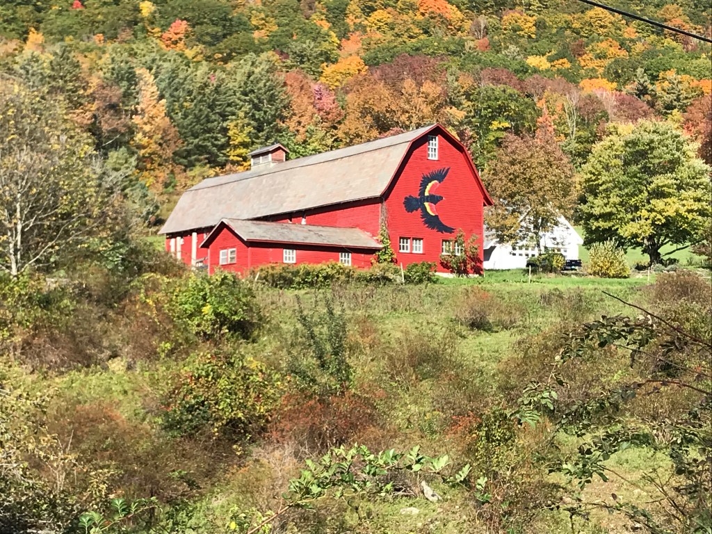
Red-winged black barn? 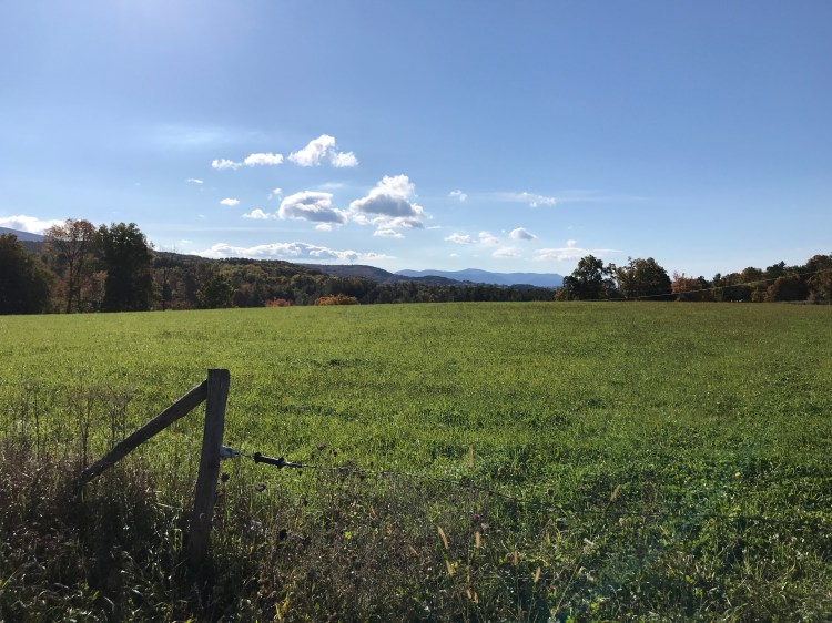
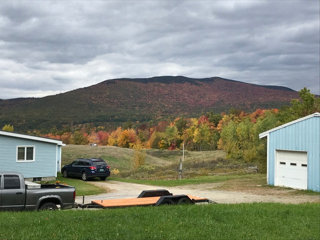
You can’t see it in the photo, but Mount Greylock’s tower is sticking up from that far ridge
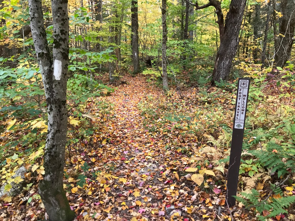
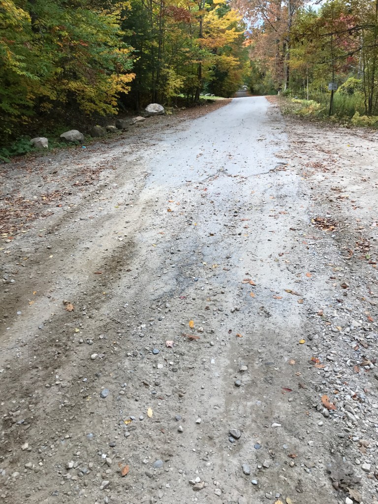
Once I switched over to the east side of Route 7, the vibes rather quickly went from bucolic to sylvan: the long views being replaced by long tunnels of foliage. I took a very slight detour to be sure to catch Sweet and Schenkar Roads, which were both lovely and worth the extra mileage. At the end of Schenkar, I reached Country Road. Despite having a fair bit of Street View, I’d read that this road is a challenge. The Strava segment of the roughest section only has 21 folks on it and I managed to get “Local Legend” after one attempt, so it clearly doesn’t get ridden much. Towards the beginning the road was climby, but I wouldn’t call it steep. There were a few rough patches, but nothing close to Class 4. I passed a number of camps which were all in quite good shape as far as camps go. Eventually, I reached the point where the road becomes true Class 4. Still nothing too wild, but just chunky rocks and a bit steeper. This went on for about a mile, but I was able to ride much of it. The road improved as I crossed the power line corridor which is clearly accessed for maintenance from the east. The road soon pitched down, so I threw on my jacket and enjoyed a smooth five mile descent down into Stamford. The village of this small-ish town (population 813) consists mainly of a smattering of typical buildings: town offices, fire department, elementary school, a couple churches as well as a general store and an ice cream stand a bit more out of town. I made for Billmont’s Country Store where rested and ate a little. I had a long climb up Route 8, but first wanted to take a swing south into Massachusetts. I headed south and soon crossed into the commonwealth and county (Berkshire) of my birth. I was specifically in Clarksburg and could actually guess the state border was coming up based on a line of wind turbines on the ridge to my left that suddenly stopped. I later learned they’re part of the Hoosac Wind Power Project which runs right up to the Vermont border. It’s the largest in the state and apparently not a favorite of some of the locals. After a few tenths of a mile, I turned onto Henderson Road which I followed back into good old Vermont and soon connected back up with Route 8. This paved climb had plenty of speedy cars and the sun was now getting covered by clouds, so my temperature was all over the place. Eventually I reached the top, totally missing the fact that I was at the base of Dutch Hill. The formerly lift-served ski area is now all human-powered: that’s both the uphill to earn turns and the maintenance to keep trails open. It seems to be a really cool model and if it weren’t so dang far away from home, I’d love to ski there!


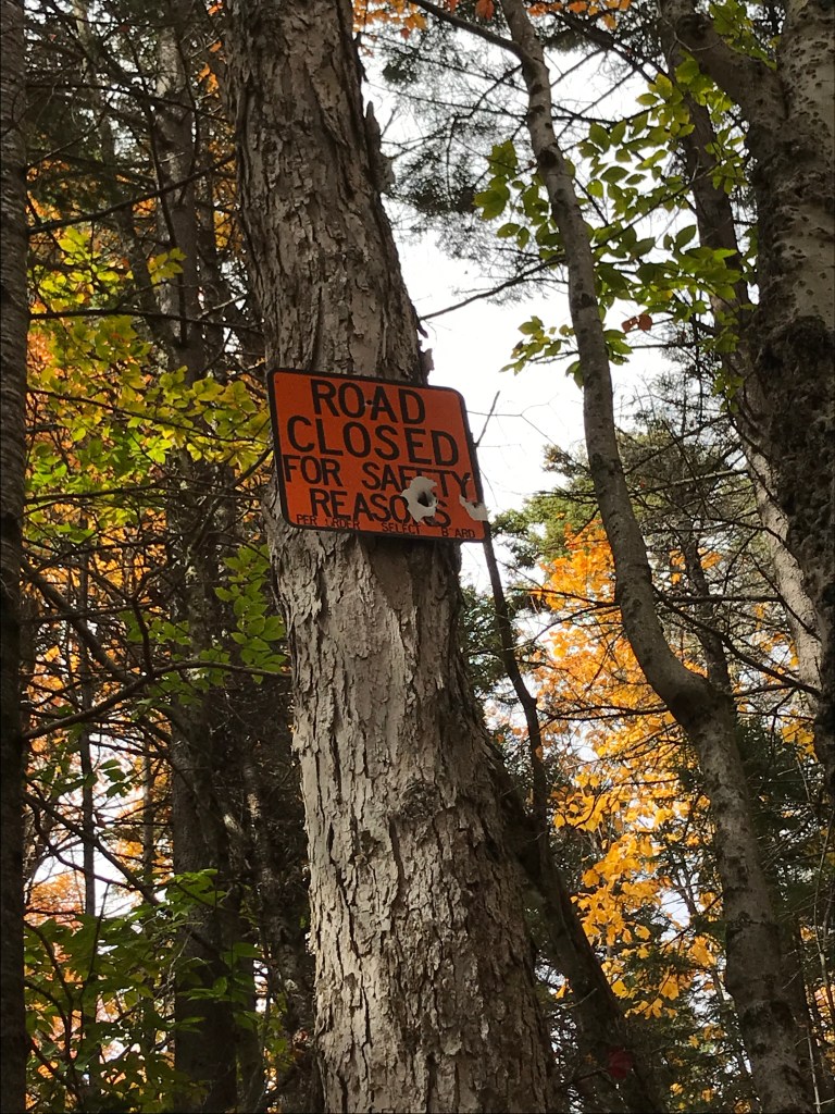
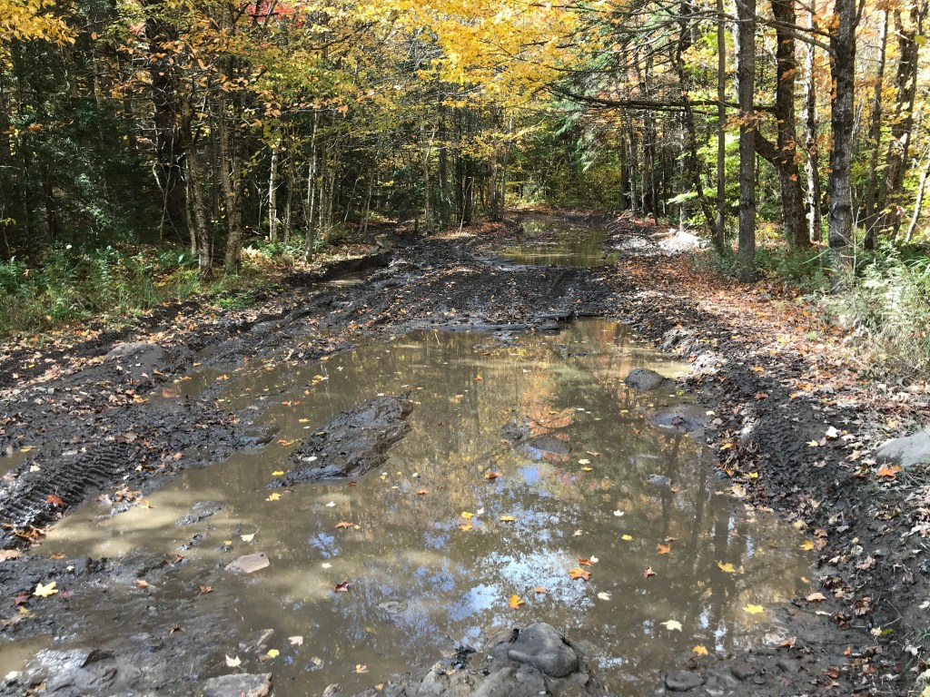
The next section was the notorious Stage Coach Road. Mainly serving as an ATV trail, this rugged track is legendary thanks in part to being one of the cruxes of the above-mentioned Vermont Super 8 course. It begins in the Heartwellville portion of Readsboro (population 702) and runs mainly through Woodford (population 355) almost all the way into Bennington. The first 3-4 miles are like any other dirt or National Forest Service road (it is within the boundaries of the Green Mountain National Forest). However, you soon reach a sign containing a large bullet hole reading “Road Closed For Safety Reasons” and the real Type 2 Fun begins. The next roughly seven miles are mainly chunky, loose rocks that have been brought in to repair the trail. This is great for ATVs and even garnered an award, but for folks on bikes, it’s kind of a nightmare. I had lowered my tires’ air pressure, but there just isn’t enough volume in bike tires to deal with that constant up and down over sometimes loose rock. Those loose rocks even have a name which is inspired by their size: “Baby Heads“. It’s solidly mountain bike territory and I REALLY couldn’t imagine doing this section with a fully loaded gravel bike. It would be all hike-a-bike for sure. There were a few bright spots, including the looks I got from folks in side-by-sides and crossing the Long Trail was cool too. But there were some lows too: the dip down to a stream crossing was rough and walking the bike is just no fun. However, I eventually made it to the final descent. The road was slightly better and it was rideable, but certainly sketchy at times. It’s a steep down (like -10% or more) and the rocks were loose. I actually passed one other biker on this stretch going UP! He was pushing his mountain bike and planned to ride out to Prospect Mountain on Route 9. The last thing I’ll say about this bit is I really loved how remote it was. You really are truly out there. In fact, you’re just south of one of the eight tracks of federally designated wilderness in the state. Stage Coach is certainly worth a visit, but I may need to give it a little while before I return.


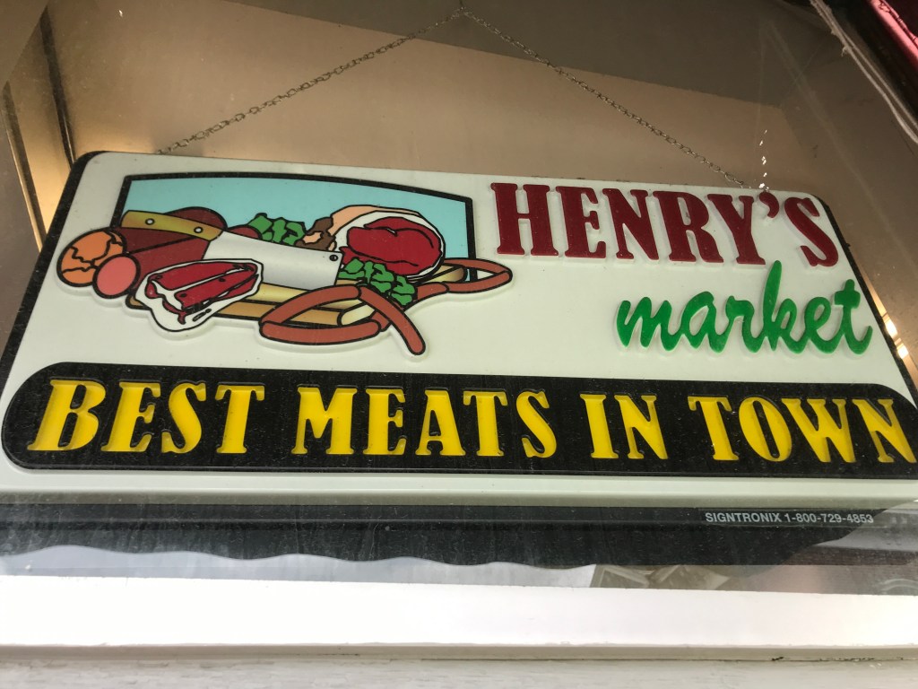
Back onto pavement and continuing into Bennington, I passed the appropriately named Autumn Inn while making a beeline for Henry’s Market. I amazingly wasn’t too hungry, but knew I needed a break and calories with about 20 miles still to go. I bought a pickle and some gatorade which I wolfed down along with a bar. The sky was now a steely overcast and I didn’t want to linger, though I wish there had been more time to poke around downtown Bennington. There’s really a lot there. But instead I headed north through a few modest neighborhoods and over the Roaring Branch of the Walloomsac River making my way to Chapel Road. This road is named in fact for a small white church that seems to have lost (or never had) a steeple. The road is paved, but was quiet as I slowly and gently climbed north towards Shaftsbury. At the town line, the road curves sharply left right along the town line. I wouldn’t be surprised if it previously connected with Town Line Road before “Super 7” was routed through. I even found a presentation from the Bennington Historical Society on this whole area before the highway was built. I continued on East Road before taking a left on the amusingly named Holy Smoke Road. There were some nice views, but not as many as I’d hoped for based on the map scouring I’d done. But I at least got a good descent on Trumbull Hill Road before turning onto Cider Mill Road.
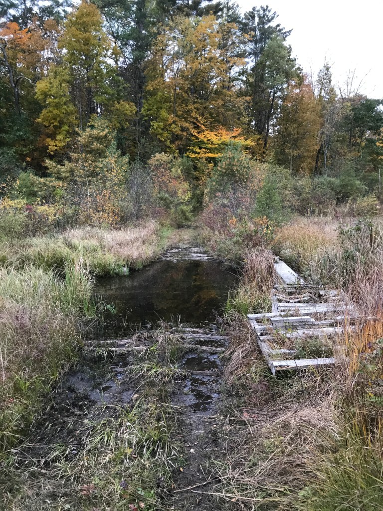
It was here that the route rejoined the Super 8 and I had a slightly unknown water crossing I needed to accomplish. Looking at the satellite and street views, a clear way through didn’t seem obvious. But it’s been on the Super 8 route for a few years running so I put my faith in it…and I was certainly rewarded! There was a fantastic little jumble of boards and pallets that allowed me to hike easily over the water. I even saw what I think was fox scat on the bridge, so animals seem to use it too. It could be a fun place to set up a game camera. After the crossing, I traversed some railroad tracks and began a climb up a trail which eventually became Tunic Road. I soon reached Route 7A and Shaftsbury Center which was the town’s main civic center until the mid 19th century when the railroad pulled the town’s economic center of gravity southward. These days there is an apple grower there named Propagation Pierce Orchard. The modest operation is open a few weeks of the year and has cider, donuts and a few other odds and ends. I unfortunately missed all of the donuts for that day but had a nice chat with one of the proprietors over a cup of hot cider.

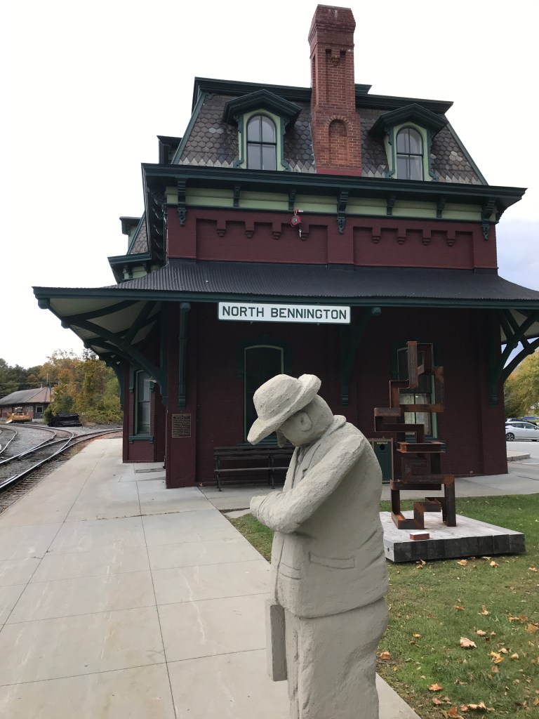
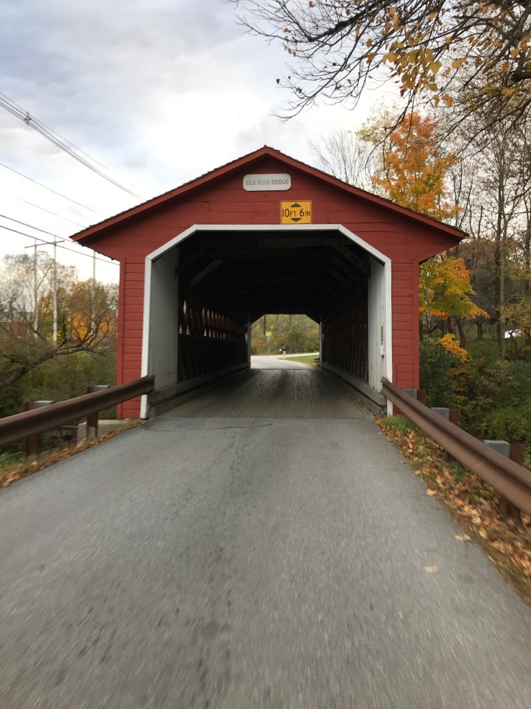
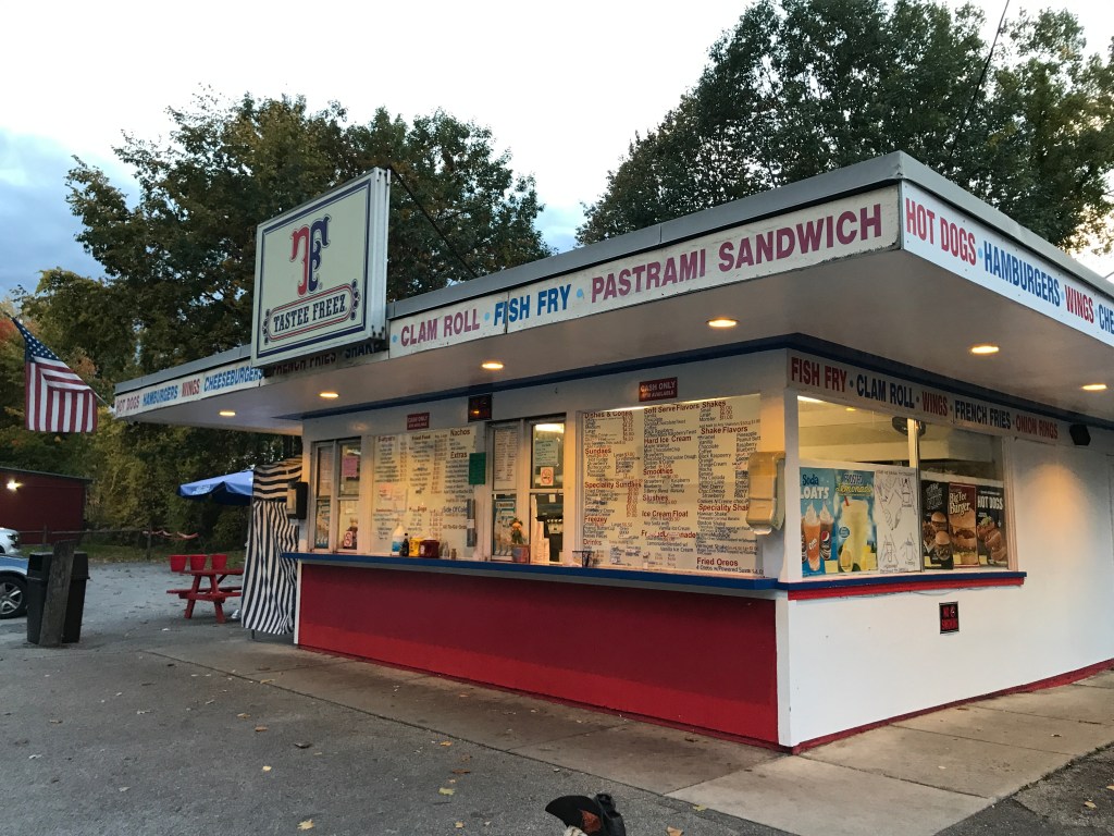
I had my final push to make and it was beginning to darken a bit, so I rode on, up onto West Mountain Road. I immediately was treated to some fantastic views up onto the ridge and then continued to enjoy even more amazing views out to the southeast. It was certainly one of my favorite roads of the ride and warrants a return trip to explore more, since I turned off before it continues around to the west as Laclair Road. The ride down into Bennington was just gorgeous. There were crepuscular rays shooting out from the sun and I was just so psyched to be closing in on the finale of this amazing ride. I soon entered the village of North Bennington which is just cute as a button. It’s very much a college town and clearly has a symbiotic relationship with Bennington College. There’s a hip coffee shop/fancy restaurant, a little grocery, a locals bar, a scarcely open pizza joint and a funky community center. Sadly, I couldn’t visit any of them and didn’t even take any photos. So (again) a return trip is warranted. I climbed up Prospect Street ogling the funky, yet somehow also classic homes that likely belong to professors and their ilk. I crossed onto campus through a partially blocked road and enjoyed the quiet ride through the hushed grounds. It has a vibe similar to Bard College: scattered buildings from various styles/eras all within a beautifully park-like, isolated setting. On the way through, I got a peek of the Battle Monument as well as a few deer peacefully munching on the abundant grass. I zipped across the very short Route 67A crossing the Paper Mill Village Bridge. This bridge is one of three (along with the Silk and the Henry) that span the Walloomsac in about 1.5 river miles. I then climbed Silk Road up the hill to the Battle Monument finishing off the ride. At this point, I was pretty starving and knowing I had a long drive ahead of me I wanted something fast and filling. Luckily, I knew of a roadside burger joint which is across from the deer park at the Veterans’ Home. They were closing for the season, but not until the next day, so I enjoyed a pulled pork sandwich, fries and a malted shake before heading north. This may be the last 251 ride of the season, and I can’t wait to try to wrap it up next year!


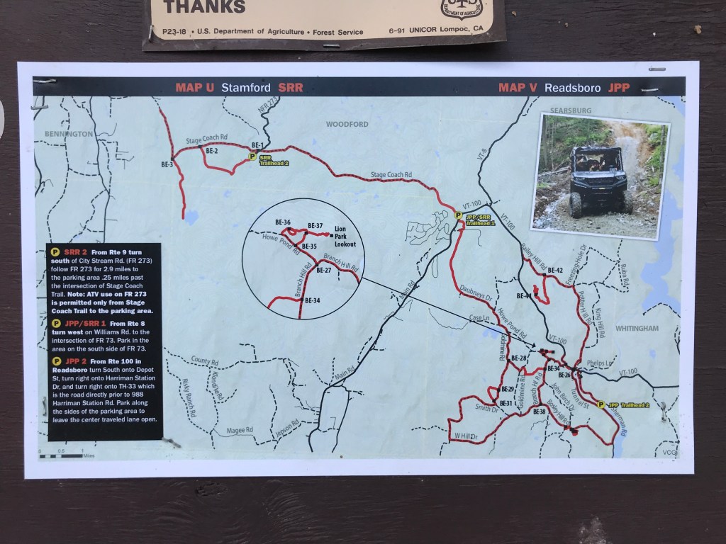
The Details:
https://www.strava.com/activities/7938807492
https://www.relive.cc/view/vQvy2DZmoKO
NEW Map tool! https://fatmap.com/adventureid/43085775/dirt-251-bennington-pownal-stamford-readsboro-woodford-shaftsbury?fmid=cp

Sam, This one sounds pretty grueling to me with water and baby heads, but you always manage to find the beauty and the joys in your rides. Cool that you popped over to MA. XO
LikeLike