
For this ride, I had originally planned to do a roughly 70 mile route up into the Newport area and so I cast a wide net to search for ride partners. I snagged one in my friend Kristine. She’s a badass rider who’s recently been organizing weekly group rides with the Winooski Bike Gang. Unfortunately, her schedule shifted and the camp where she’d be teaching spoon carving needed her sooner than she’d expected. She needed to be in Thetford by later afternoon on Saturday, so a longer Northeast Kingdom ride wouldn’t work. Luckily I still needed to check off some towns in that neck of the woods, so to the Upper Valley we went! The day before, we also got a third rider: Kristine’s friend Darby joined us and Maddie tagged along too: she had some work to do, and wasn’t sure how much time she’d have. So in order to cover our bases, she packed her bike as well as paddleboard in order to have the most options.
We met up at the New Hope United Methodist Church in Topsham. We’d originally talked about meeting across the street at the Waits River General Store, but their parking was limited and we didn’t want to hog it for a few hours. We geared up and Maddie took off to get some work done in Bradford, where we’d meet her for lunch. The ride began on Route 25 which runs from Route 302 in the northwest to Bradford in the southeast. The road follows the Waits River valley, but interestingly there isn’t really a proper village directly along the whole road. There are some fun sights to see along the road, but generally it’s a fairly lonely stretch. We were only on it for half a mile before turning north on Watson Hill Road to begin the first of two stout climbs. As we went I got to know Darby a bit better. He’s lived abroad for quite a while working in international schools. He was most recently in Switzerland, but had been in Dubai before that. He’s now working in Middlebury and is considering a move sometime in the future to be closer to his family in Santa Fe New Mexico, but is enjoying Vermont in the meantime.
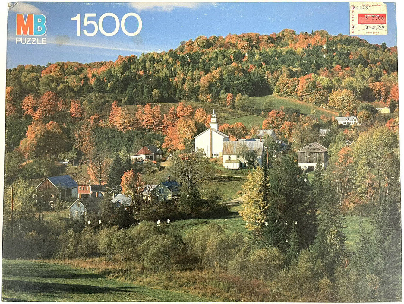
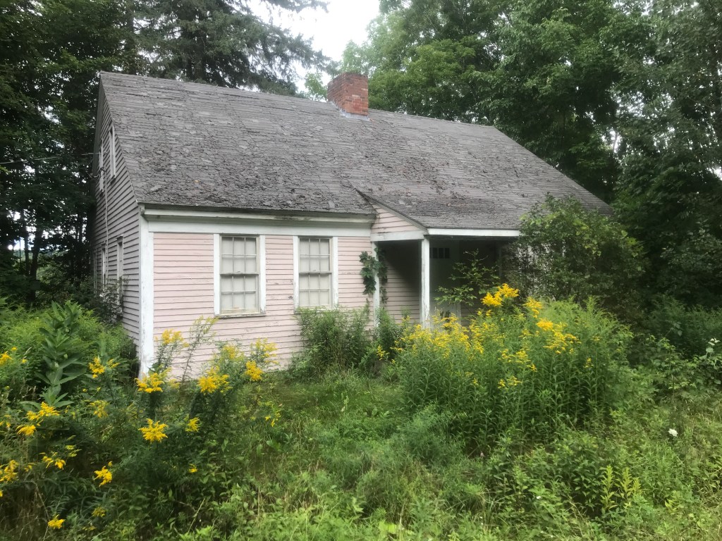
On the way down after the first climb, we passed someone going the opposite direction with a fully loaded bike. The route I’d picked utilized an 8 mile section of the 302 mile VTXL bikepacking route that this guy was presumably riding southbound. Unfortunately, we were having too much fun bombing the hill to chat him up. In fact, the group had such momentum that we didn’t even stop in the village of East Topsham. As I believe I’ve mentioned before, when I’m doing these rides with other folks, I don’t often make as many stops or take as many pictures. For example, had we stuck around, I may have been able to see the headquarters of Cone Editions, the home and studio of Jon Cone, a pioneer of digital printmaking and founder of the world’s first digital printmaking studio. I also managed to accidentally take a photo that almost perfectly recreates a Milton Bradley puzzle from the eighties. Topsham seems to be a favorite subject of puzzle makers. I mean, things have obviously grown since then, but look at this:

Our momentum carried us just a little bit of the way up the second of the large climbs, this time on Harts Road. We pushed on and entered Newbury, just as we stated to descend. Newbury is southern terminus of the Bayley Hazen Military Road, which I crossed during Ride 4, Ride 6 and Ride 27. The road begins in the north of town, upstream in the Connecticut from the “Great Oxbow” (and way upstream from the one in Massachusetts, made famous by Thomas Cole). However, the local high school is named Oxbow High School– GO OLYMPIANS! We were still in the hills at this point, but got some fantastic views over Newbury Center and down into the river valley. Of all the areas on this ride, I’d say right around here is most ripe for further exploration. Riding the entire length of the Bayley Hazen Road would be one fun thing to do for example. It’s been done and documented, but there’s an FKT up for grabs and it looks amazing. Plus you get to ride past Ticklenaked Pond, which sounds exhilarating.


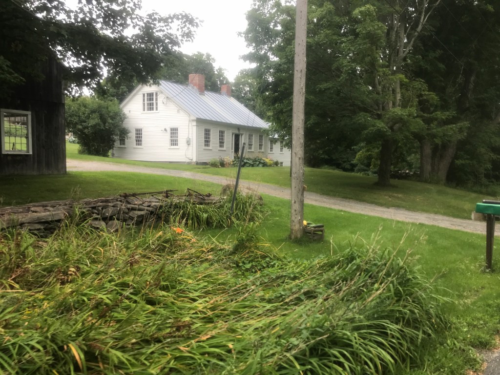
The route turned southward now as we worked our way down towards Halls Lake. I’d never heard of this diminutive lake (more of a pond if you ask me) but it was beautiful. The shallow body of water is ringed with classic Vermont seasonal camps, as well as what is apparently the first summer camp for girls in the United States: Camp Farwell. We stopped at the town beach, which is a lovely little stretch of sand. In fact, later in the day, this is where Maddie came to for a little paddleboarding. After a brief respite, we continued south passing more camps, as well as a very modern boxy building, clad in silver corrugated metal. It looks relatively new and certainly is a different aesthetic from the rest. My guess is there was more than one conversation around the local campfires discussing people’s feelings on that one. A few miles further we entered the West Newbury Village Historic District. The modest village has some lovely connected farm buildings as well as an old schoolhouse and Congregational Church. As we rolled through, it slowly dawned on us that there was a Summer Festival going on! I believe we’d just missed a parade, but there were tons of folks milling about. As I mentioned earlier, I don’t stop as often with other folks and I probably should have piped up and asked to stop, but we didn’t. I’ll have to catch the festival in 2023. South of the hubbub, we had a tractor pull in front of us. The driver kindly allowed us to pass, though it was right after we pulled onto Rogers Hill Road, so we slowed way down and he ended up passing us back. We climbed up the mellow grade until we came to a panoramic view east across the Connecticut valley and into New Hampshire. We entered Bradford and soon turned onto Chase Hollow Road. I thought about routing us further onto this road to go to the Wrights Mountain Trails which look like they are bike accessible and have an open, first-come, first-served cabin with an amazing view. Maybe one day I’ll do an overnight to out there. For now, we continued onto Tarbox Road (which I recently learned was a surname) then onto a steep paved downhill on Goshen Road into downtown Bradford to meet up with Maddie for a bite to eat.
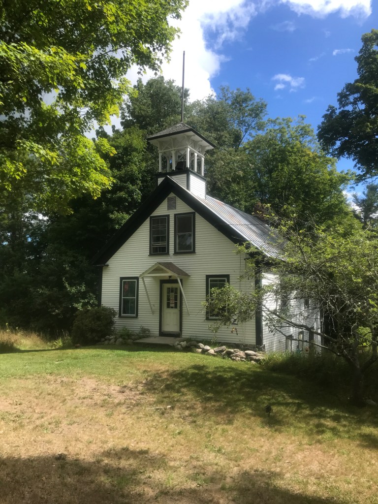
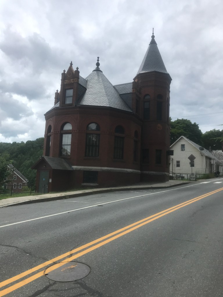
A well preserved schoolhouse in Newbury Center 
A less well preserved building just across the street 
Halls Lake beach 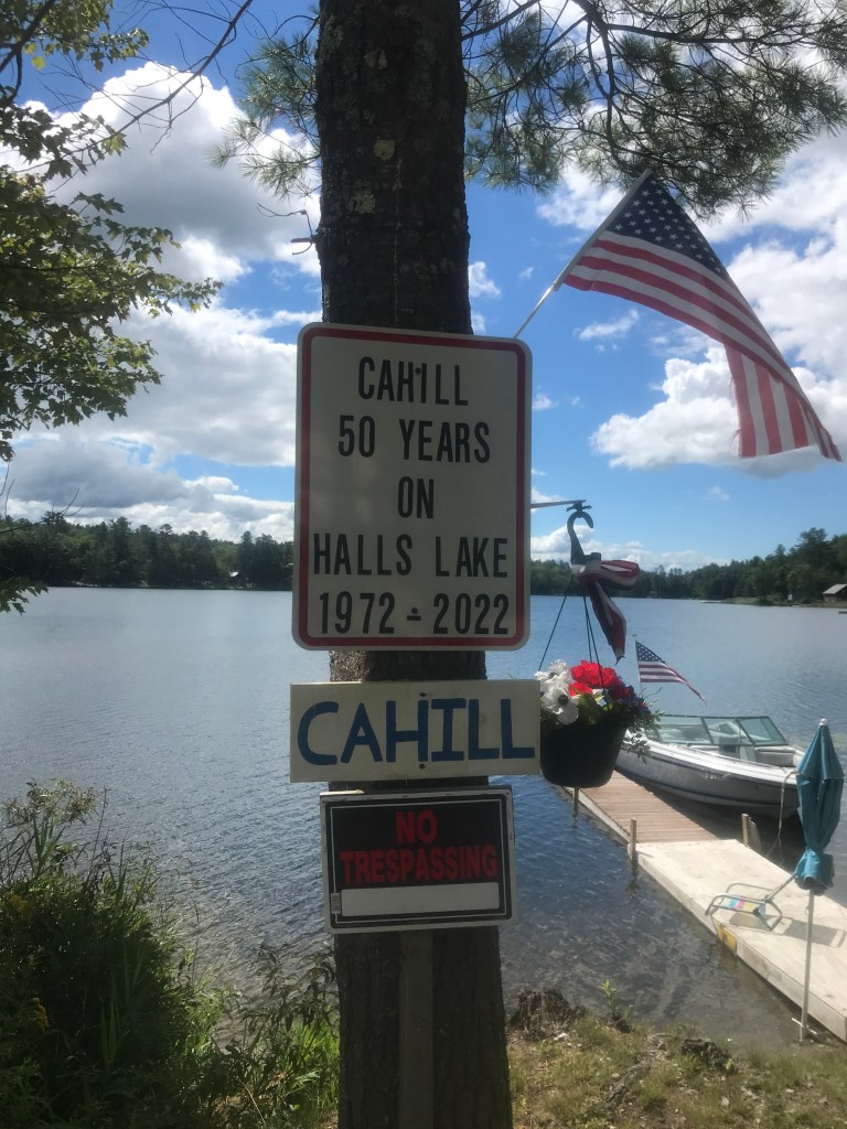
If only I’d bought a place here 51 years ago! 
Not the classic camp style 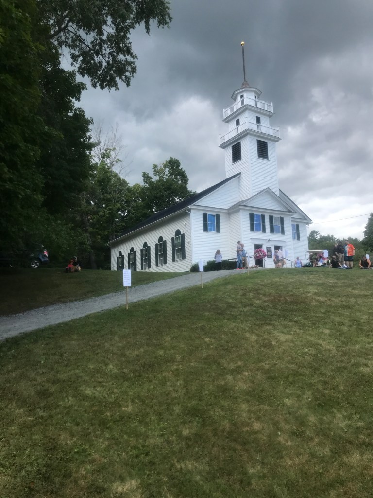
The West Newbury Congo Church amongst the festival activities 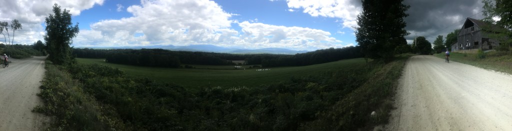
Panorama from Rogers Hill Road (Note the partly moody sky and two Kristines) 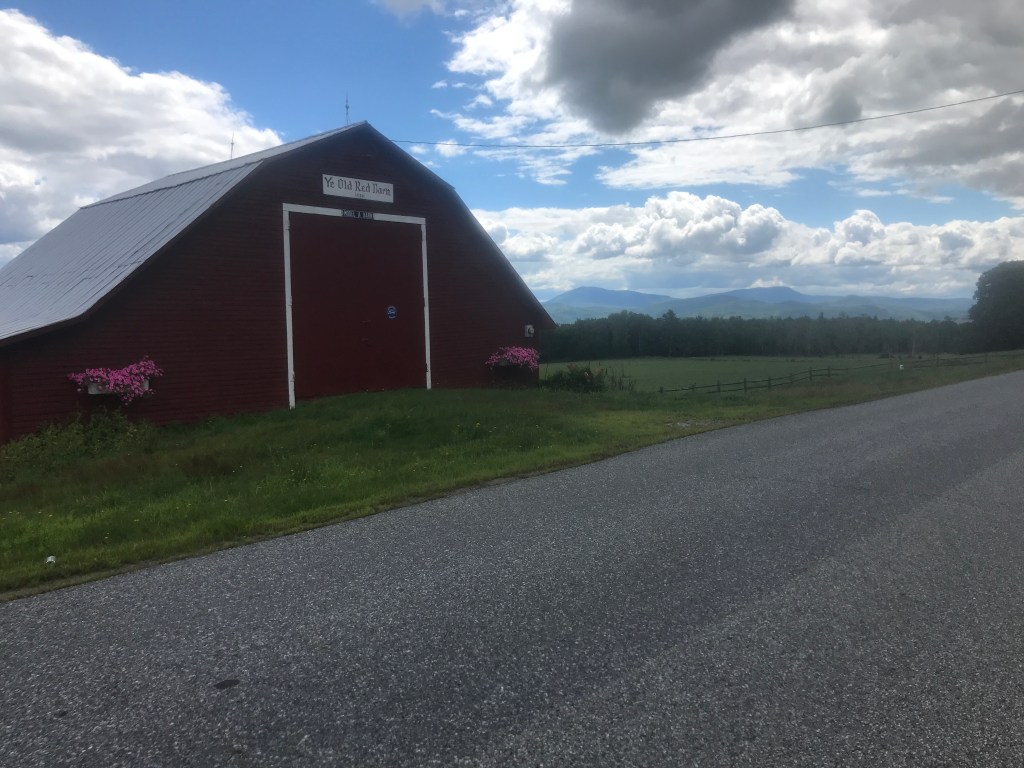
“Ye Old Red Barn” 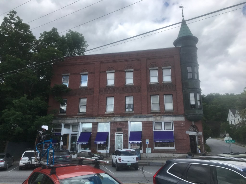
The Honda Fit & Maddie’s bike on Bradford’s Main Street
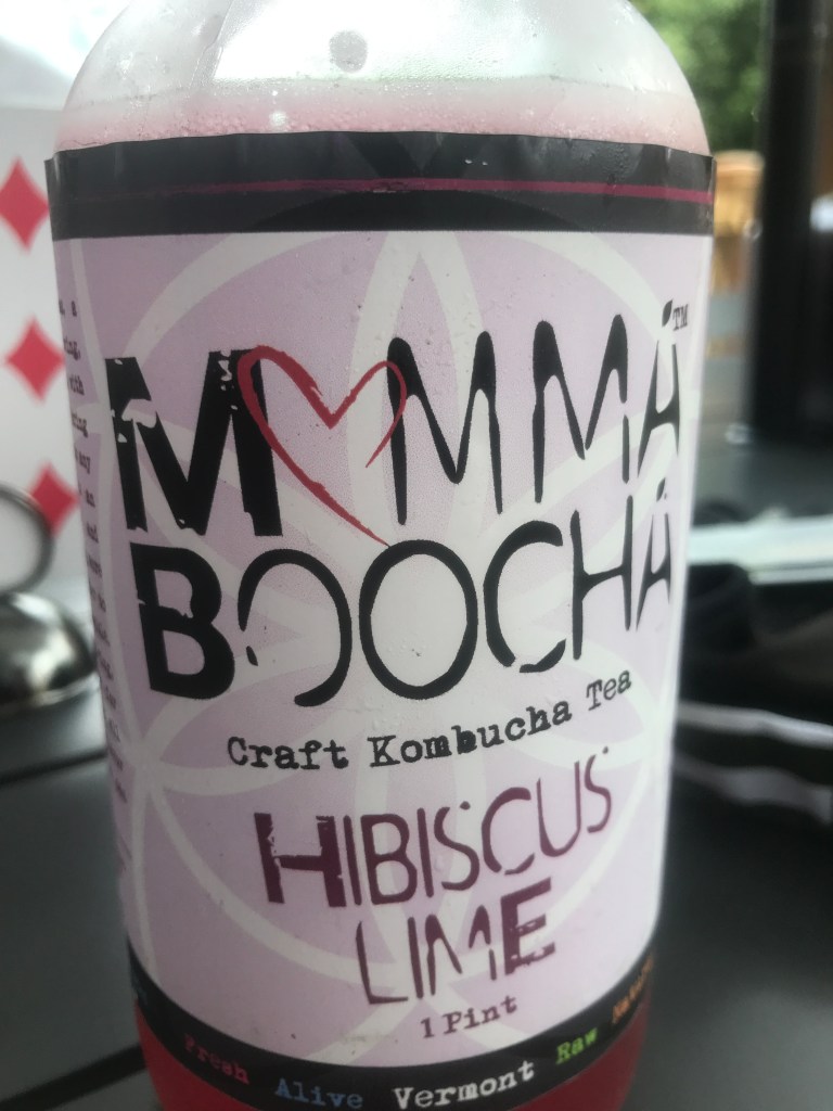
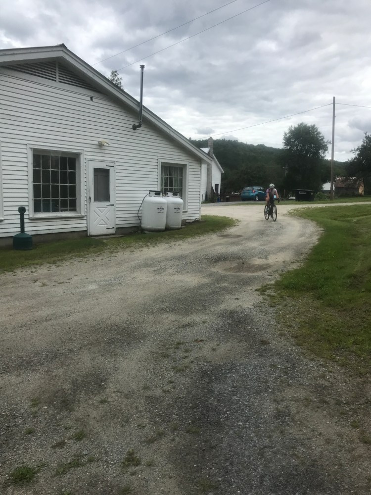
Our rendezvous point ended up being a hip new cafe called Vittles, which opened in May of last year. They had a delicious menu from which we ordered a light lunch and delicious drinks. I ended up getting a Mamma Boocha kombucha which is brewed literally across the street. I got the hibiscus lime flavor and it was quite good. We all chatted and caught up with Maddie. She’d been at the Bradford Public Library just down the road using their wifi to do some work. The library itself is a beautiful building and it turns out it was designed by Lambert Packard who I discussed during my write up for Ride 31. Soon enough, everyone split and went their separate way: Maddie to paddleboard and us to do the last 15 or so miles. We headed southwest out of town, passing under Interstate 91 and heading towards a large quarry beyond. We jumped onto South Road seeing signs for Bear Ridge Speedway, a short dirt track in the hills above town. We had a pretty long climb ahead of us with lunch in our bellies, but luckily Kristine is a math teacher and proposed a fun brain teaser: if you had to travel 20 miles and your speed was determined by how far you’d traveled (e.g. at mile 1, you were going 1 mph and at mile 15, you were going 15mph etc.), how long would it take you to travel the 20 miles? We never quite got to the answer, but we’re pretty sure you need some calculus to get there. If you have ideas, let me know. After the climb, we eventually entered Corinth, the last town of the day. To me, Corinth is best known as the home of Northeast Slopes, a small ski area featured in the film United We Ski. It’s considered the longest continuously operating ski area in the country and, though I’ve never skied there, it looks to have a great vibe. Another thing the town is known for is Beetlejuice. The cult classic was filmed throughout town in 1987. In fact there’s a connection between the movie and the ski area: the covered bridge that Barbara and Adam Maitland crash though was moved to the base of the slopes to house the engine for the rope tow. In fact, in the Google Street view, you can see it and if you zoom in, you can see a still from the film posted on the side. It had been a number of years since I’d seen Beetlejuice, so Maddie and I actually watched it the next day. It’s strange, of course, but it holds up pretty well!
We passed south of Northeast slopes and the village of East Corinth in the hills above the Waits River. The road went up and down, passing by nice houses and even a table giving away summer squash and cucumbers. It was classic scenery for these rides and it was nice to wend our way back towards the start line. We had one surprise though: Claflin Road turns out have a Class 4 section. I should have suspected so, since it crosses from Corinth back into Topsham. I was happy to be going down the road, as there were some larger rocks. And it turns out that Kristine had a close call, but kept it together to ride it out. We came back to the church to wrap things up. Darby got a sandwich from the store across the street and Kristine did a few extra parking lot laps to get over 5,000 feet of climbing. Soon enough Maddie arrived after her paddle and we drove back with Darby as Kristine continued south to camp and a few days of spoon carving.


The Details:
https://www.strava.com/activities/7633229095
https://ayvri.com/scene/gdkz16el5z/cl6sdl2vw00013b6ua096ru10

One thought on “Ride 35: Topsham, Newbury, Bradford & Corinth”