
After my first overnight adventure on the Canyon on Ride 31, the bug had really bit me. We had a great opportunity coming up with the holiday weekend, so Maddie and I decided to do a bikepacking overnighter together. It also just so happened that a route I’d planned as a possible day ride had some National Forest camping spots pretty much smack dab in the middle AND one of the best Fouth of July parades would be happening as well. The Mad River Valley is also a place that’s pretty near and dear to both me and Maddie. I lived there during the summer of 2009 as an intern with Center for Whole Communities, which was then located at Knoll Farm. I helped support the land, facilities and participants in retreats that focused on environmental and social justice topics. It was a really magical summer. Maddie worked at Gaylord Farm in the valley from 2011 to 2014 living in a few different places in Waitsfield including a bunk in an awesome pseudo-collective called Freedom House . It’s also where we got engaged: Maddie got me all full of Mad Taco and popped the question looking out over the valley from Knoll Farm’s namesake outcropping. So we were happy to return and also excited to explore a bit further south into the mountainous parts of Addison County.
After getting some house chores done on Saturday, we drove down to Waitsfield on Sunday July 3rd and parked at a picnic area in a funky grove of trees that I think gets much more use in the winter as an access point to VAST trails. But we got all packed up and began south on Route 100 (AKA the scenic Mad River Byway). Right away I was struck with memories of driving the electric “Sun Buggy” from Knoll Farm down to Kenyon’s to buy some sort of hardware and barely having enough power to make it back up the hill. We took a swing onto Old Country Road which is a nice quiet road that parallels Main Street. Towards the end, we passed a large field that the next day was holding a Polo match. That gives you a little flavor of the valley: tourism is its lifeblood and there are folks with deep pockets sprinkled throughout (with some lovable weirdos as well). Speaking of both lovable weirdos and deep pockets, we soon passed Bridge Street and the quirky Madsonian Museum. It’s the brainchild of architect Dave Sellers. Sellers is best known for being one of the drivers of the “Prickly Mountain” architecture movement in the 60s and 70s which stressed a design-build ethos and led to some amazing structures. We continued past The Big Picture, a great movie theater and cafe which was slinging donuts. It was tempting, but we had a day’s worth of climbs ahead of us. After passing more shops and the bottom of Bragg Hill Road (the location of Knoll Farm, go there for unreal views and steep gradients) we made a right onto Route 17. This is the same state route from Ride 22 and Ride 26. It begins relatively tame before jumping up steeply past Mad River Glen to App Gap. We pushed on for about a mile before making a left onto Marble Hill Road. It averages over 9% grade which is pretty darn steep for an average grade. We weaved back and forth, took a break or two, but made it up to a homestead that was being built: a small cabin and a few pigs mainly.
At this point, I knew we’d be contending with a Class 4 section, but I wasn’t quite sure what to expect. It was doubletrack that had essentially overgrown into singletrack. We climbed a bit more and got views over to Mount Ellen, the former standalone ski resort, but which is now part of Sugarbush. We crossed paths with a section of much more commonly ridden singletrack that’s part of the Mad River Riders network. We saw two mountain bikers who were probably wondering what these two doofuses on fully-loaded drop bar bikers were doing up there. We had a nice descent down onto German Flats Road which took us all the way to the Sugarbush Access Road. We were now clear of Fayston, and there’s plenty more riding to be had in that town, but it’s just situated in such hilly terrain, it would have been too much to add. We rested in the shade within sight of the Sugarbush base lodge’s faux silo and barn motif, then had one more punch up Inferno Road, then it was a steep cruise down to 100 with Warren Village and lunch waiting beyond.
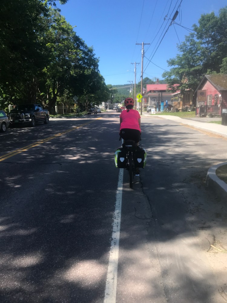
On our way! 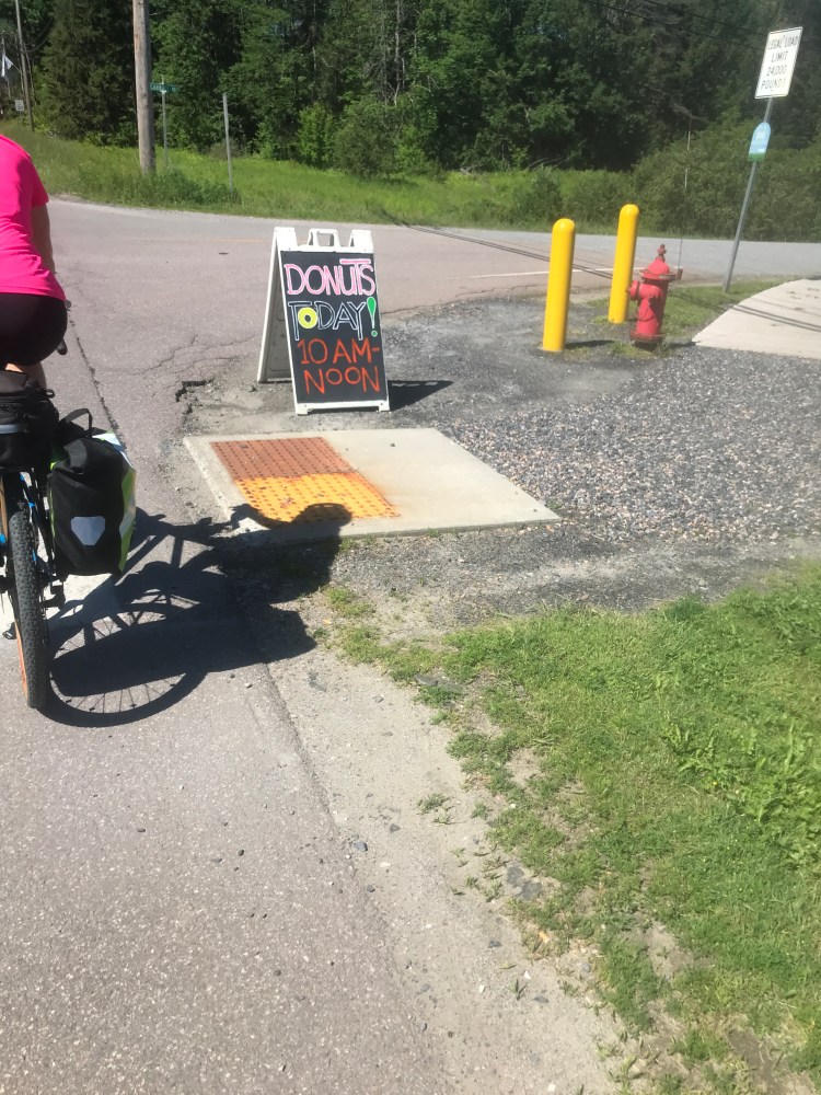
Too early to be so tempted 
Looking up 17 to Sugarbush 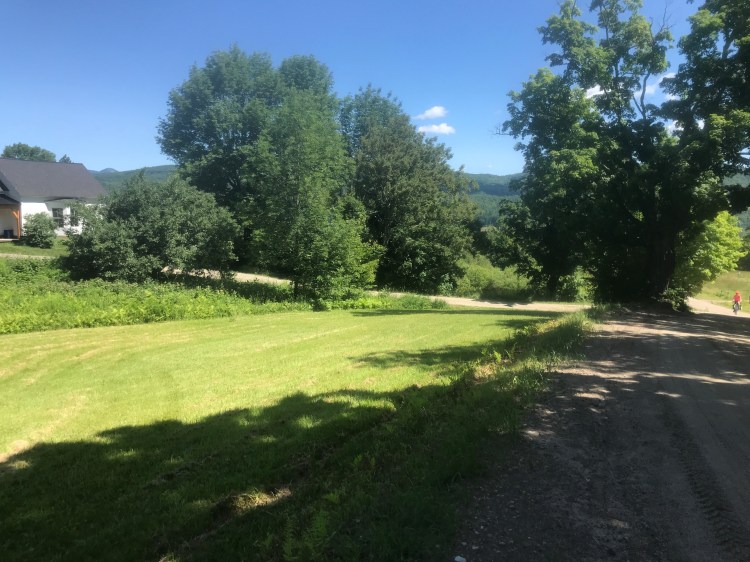
Part way up Marble Hill (notice Burnt Rock Mountain just to the right of the roofline) 
The single-ish double track 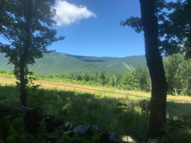
Looking over to Ellen 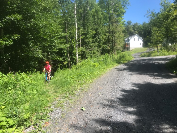
Back onto maintained roads! 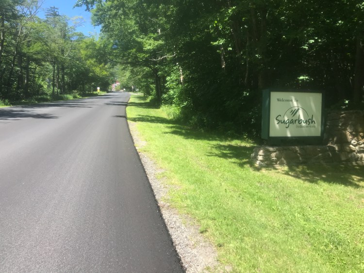
New black ribbon 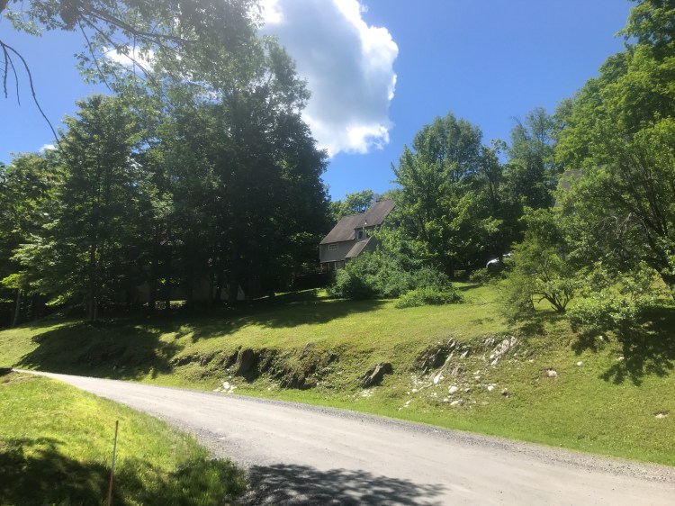
There were MANY condos like these hidden throughout this section
Warren village began to develop when mills were placed along the narrow section of the Mad River to process crops grown in the flatter sections of the valley to the north, as well as timber from the surrounding hills. It’s tucked into the valley and its buildings nestle up to (and sometimes overhang) the river. Because of this proximity, the village was hit particularly hard when Tropical Storm Irene swept through the valley. Today, the village has recovered nicely and it’s back to its tourist catnip status. I mean, it’s absolutely gorgeous. We rolled in with our bellies grumbling and stopped at the Warren Store. They have a solid selection, including the typical t-shirts and ephemera, but also snacks, candy and sandwiches. We ordered up a few and sat down to eat listening to Freeman Brook flow into the Mad River, just a few feet away. We weren’t the only bikers there, as the area is popular with cyclists of all stripes. In fact, we saw some guys on a road ride and one of them was riding a triathlon bike that costs over $10,000! There is actually an extremely high-end bike shop in the Valley called Fit Werx that caters to those sorts of bikes, so it’s not too surprising to see them. Lunch was delicious and it was fun to be around the energy that was buzzing as the town prepared for the parade the next day. I’ll talk more about the parade later on, but it’s a huge deal in the Valley and beyond. After refilling our bottles, we jumped back onto Main Street, headed south, taking a right over the river on the Warren Covered Bridge, then back up onto Route 100 to continue south into Granville.
We soon saw cars lining the side of the road and a bit after came upon Warren Falls. This beautiful, incredibly popular, swimming & cliff jumping spot was hopping (no surprise given the heat). It was really tough to see so many folks just relaxing and cooling off. But we had to push on, so we continued…to another swimming spot. This one I didn’t know as much about. It’s about 2 miles south of Warren Falls and doesn’t have the same deep pools, but it was virtually abandoned. Definitely good for families or a back-up if you strike out at Warren. After taking a break that included shade, snacks and some stone skipping, we continued into the town of Granville and the Granville Gulf area. Granville is in a different county, watershed and almost universe. Whereas Warren is toursty, busy and generally pretty hopping, Granville is small (only 300 or so residents) and there isn’t much of a town center. Its vast majority of land is forested, which we were about to see plenty of. We continued to climb and instead of taking 100 south and dropping into the main valley, we turned left onto North Hollow Road. We followed this road steadily up until it became Buffalo Farm Road and began a quick drop. We were enjoying the downhill when all of a sudden there were a couple of guardrails across the road blocking our path. We didn’t know it at the time, but the road had been slumping badly in the years after Irene, so instead of spending an estimated $2 million to repair it, the town designated it a legal trail and closed it to vehicular traffic. After navigating through that short section, we were back on 100 and into the town of Hancock. Hancock is similar geographically and demographically to Granville, but it gets a bit more tourist trade since it’s over Middlebury Gap from Ripton and Middlebury. We stopped in the small cluster of buildings centered around the intersection of Route 100 and Vermont 125. We’d just missed the end of the $11.95 all-you-can-eat brunch buffet at the Old Hancock Hotel, so stopped into the Hubbard’s Country Store. We honestly weren’t too hungry, so we each bought a beverage: Maddie’s amazingly being a single Zero Gravity Stout, a seasonal offering that hadn’t been on shelves for months, back home. She stashed it as a reward for the end of the day. We chugged up 125, making a right at the Texas Falls Recreation Area. We enjoyed a brief walk around the falls, then pushed further up the beautifully smooth access road to get into the dispersed camping area. After a few potential spots, we spotted a great flat one. And with that, we’d found home for the evening.

The Pitcher Inn, in the heart of Warren 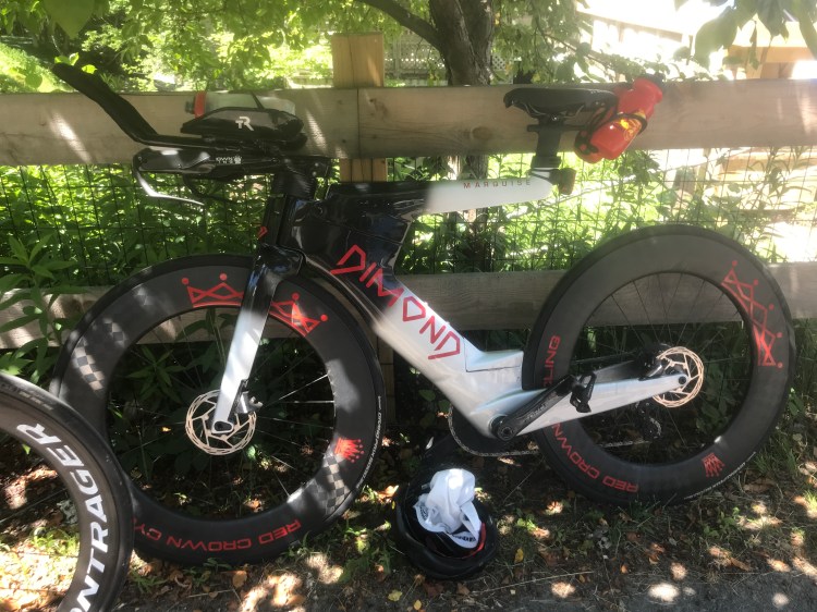
This bike is worth 2/3 of my car. 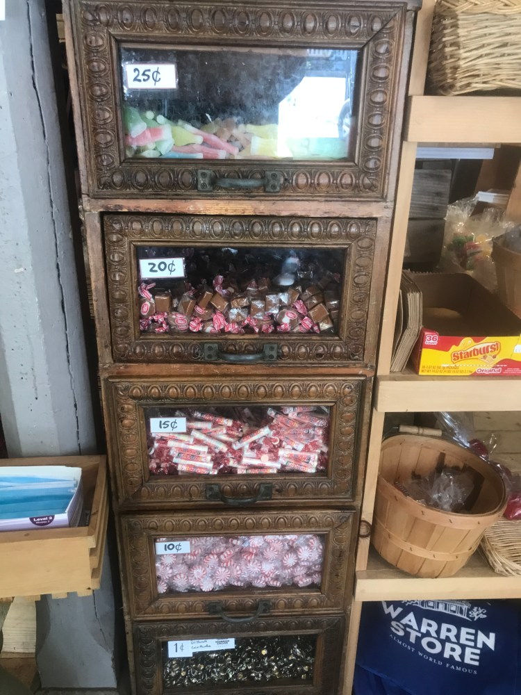
“Twenty-centy candy” just doesn’t have the same ring as “penny candy” 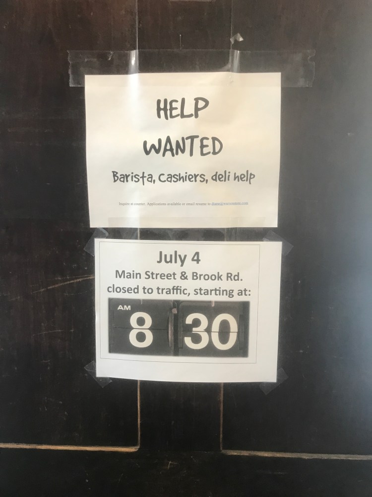
These signs are both very much of the times 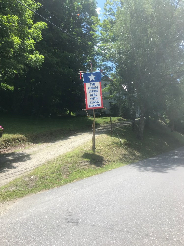
“The parade starts here with Clive’s cannon” 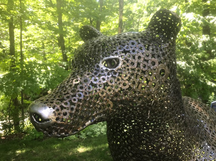
Washer bear 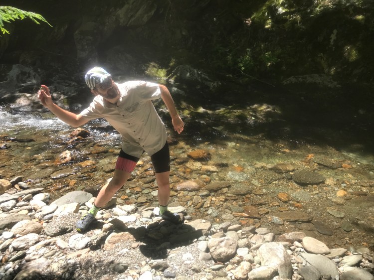
Skippin’ 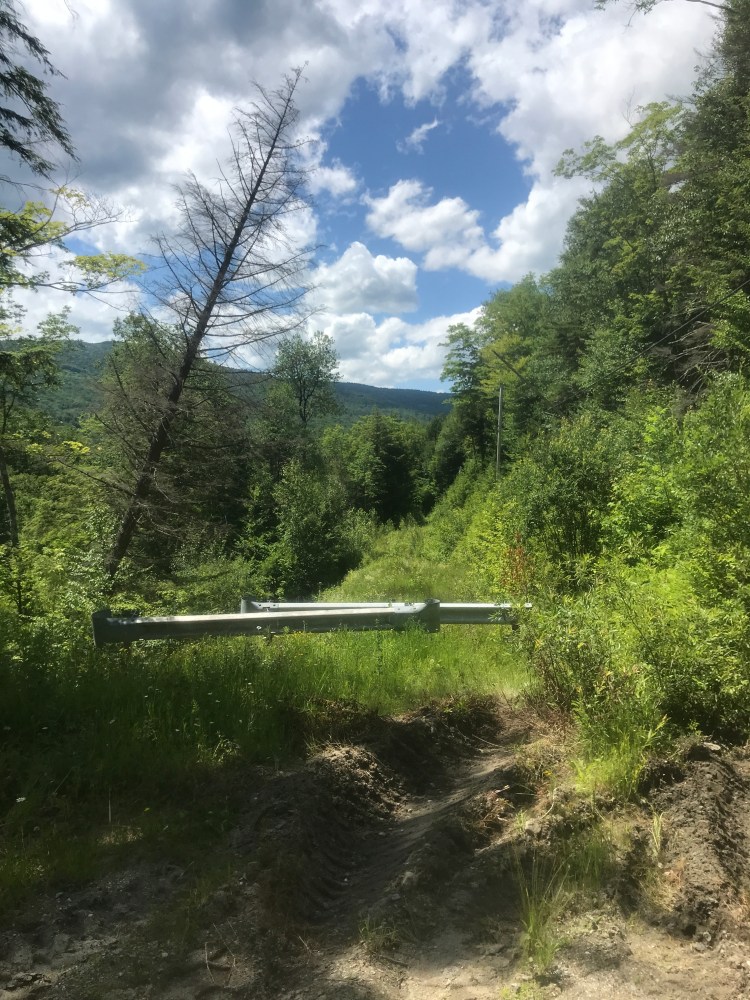
The new Buffalo Farm Legal Trail 
Route 100 into Hancock 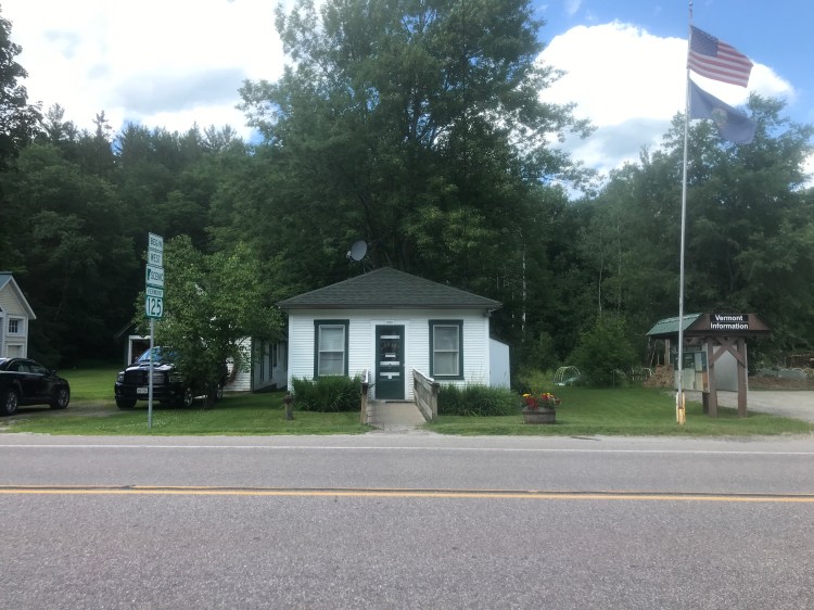
Hancock town library 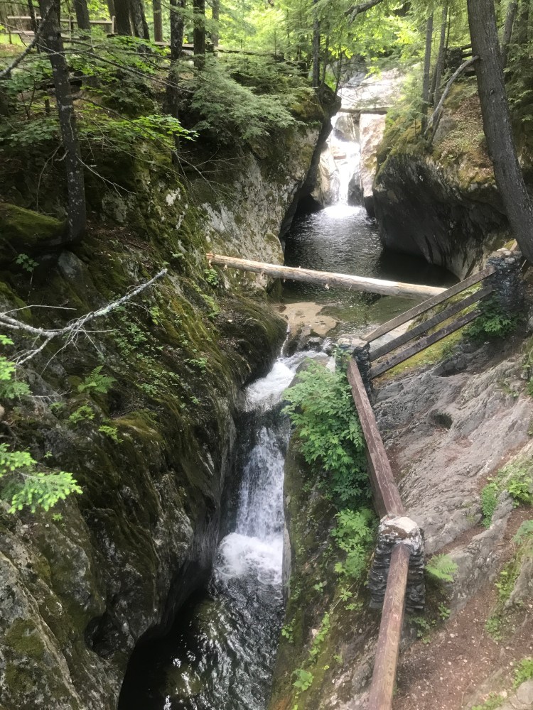
Texas Falls 
Camp! (Note Maddie drinking her stout from under a bug net)
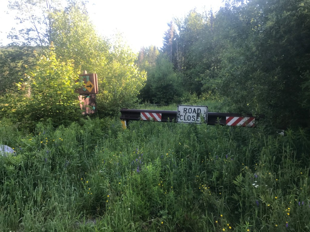
Once settling into camp, we ate a quick dehydrated dinner, took a walk but then realized we were pretty tired. In fact, we were actually asleep before the sun was down. The next morning, we awoke and though we’d brought some oatmeal, we still had some delicious pastries we’d picked up on the way to Waitsfield at Red Hen in Middlesex, where we started Ride 15. It was a light breakfast, but we had some more climbing ahead right off the bat. We’d continue up on the Forest Service road up to Texas Gap. It’s not one of the main east/west gaps through the spine of the Green Mountains, but it’s still pretty high. So we packed up and continued climbing the smooth road. We passed one or two other folks camping, but quickly came to a “Road Closed” sign, where the road became a narrow path through high grass. It continued dead straight and up at the same rate, and eventually opened up a bit more to look like a more traditional Class 4 road. In fact, as we reached the top, the understory opened up and there was a lot of room on either side of the road. On the downslope of the gap, there were a few trees down and it’s clear this isn’t used too often by anyone (snowmobiler, biker or hiker). But we eventually popped onto a nicely maintained forest service road which we flew down. It was probably my favorite road of the trip with the right combination of curves, slope, stream views and smooth surface that we really did feel like we were flying. We’ll have to come back and camp on this side. We eventually rejoined Route 100 at the Granville Manufacturing campus which includes the Granville Bowl Mill. We paused briefly, but were gently motivated to get back to Warren for the start of the parade. We began the slow climb up 100 back into the Granville Gulf. The road was relatively quiet and when we stopped at Moss Glen Falls (one of the most popular tourist spots in the area), we had it all to ourselves. It was a nice break, but the gravity of the parade pulled us north again. As it neared 10 am, we kept our ears out for the sound of a distant cannon, signaling the start of the parade. Sadly, we were too far away, but as we pulled onto Warren’s Main Street, we saw the tail end of the parade just getting started.
Vermont has a number of Independence Day celebrations, but Warren’s is by far the most laissez faire. It’s 73 years old and from what I can find, they’ve always pretty much let whoever show up and join: no need for registration or anything formal. This was on display as we essentially joined the parade from the back and slowly started working our way through towards the front. Based on the video evidence, we made it about halfway to the front before we saw our friends Claire and Megan (and Megan’s kiddo Haddie) and joined them. It meant we didn’t see the huge floats that tend to be up front, but it was such a wonderful surprise to see folks we know! Maddie and I actually took an informal over/under bet on how many folks we’d see, who we knew (had to know their names at least). We put the number at 10 and I took the over. It ended up being 11, but there were some locally famous folks in there (like Josh Panda), so that may not count. Anyway, the parade was super fun. Good energy all around: everything from a “Screw this shitty political moment” to “Thank god we can at least be together as a community”. Afterwards everyone just crams onto the street and makes for the Warren store area where there’s some pre-made food to satiate to hordes. We grabbed an overpriced burrito and tamales, then headed to the shade behind the store. We had more time to chat with Megan and Claire and I saw my buddy John Abbott and his family as well. As we worked our way out, I looked for my “buddy”: the parade sells pairs of individually numbered stickers and if you find your matching number in the crowd, you win a prize! I actually found my sticker on the ground, and never found my buddy, but we were near some folks when they got matched up!
All-in-all, from the reports, it was a highly successful parade. Maddie decided she’d had enough climbing, so we parted ways. She took 100 back and I headed up Brook Road up to get some more views. This area above the valley is so beautiful. Originally, I had the route going around Blueberry Lake, on Chatfield Road, passing a bunch of the Prickly Mountain houses, then coming down Roxbury Mountain Road and the East Warren Market (and community radio station!). I eventually met back up with the original route and enjoyed views over to Sugarbush, Mad River Glen and even saw a glider getting towed up from the nearby airport. I eventually made it back into Waitsfield and onto the Common Road. The views continued to be some of the best in the state. The road eventually tipped down, sending me on a fun, fast descent back towards the car where Maddie was waiting. We were well tuckered out, so decided to indulge in some food and sweet treats from Canteen Creemee Company. It’s not the best quality creemee, but their flavors are to die for. We had a watermelon slushie too which (along with the fried chicken) really hit the spot. It was a fantastic trip and we’ll certainly be doing at least one more this summer!
End of the NFS road 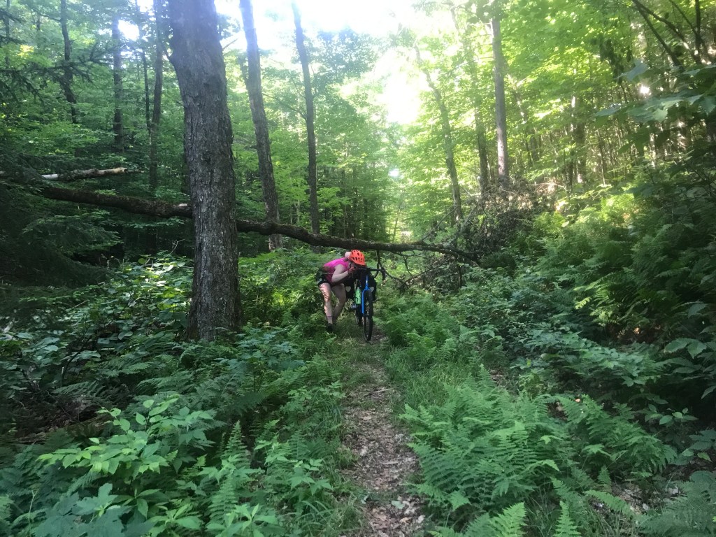
There were a few tight spots 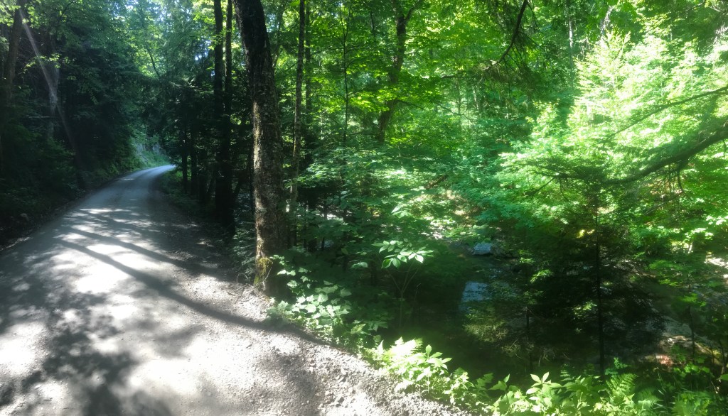
Flying down Forest Service Road 55 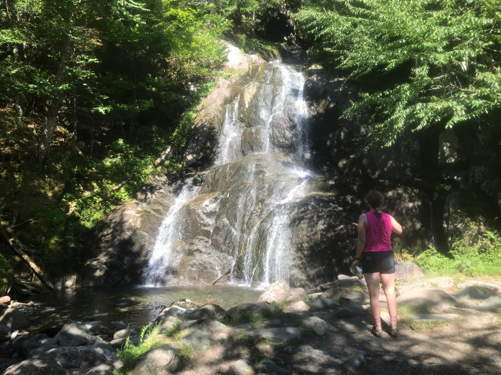
Moss Glen Falls: all to ourselves 
Note that the passenger is knitting 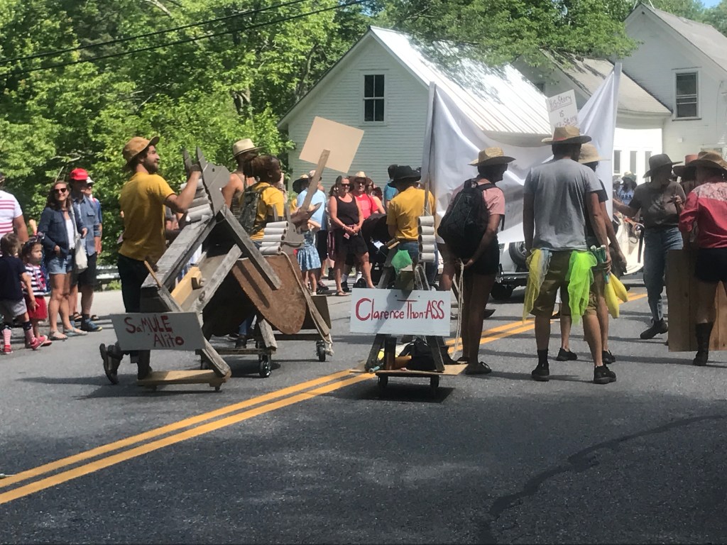
“SaMULE Alito” and “Clarance ThomASS” 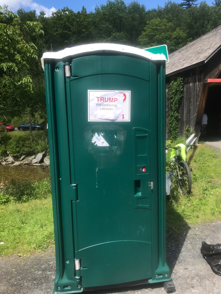
“Trump Presidential Library” 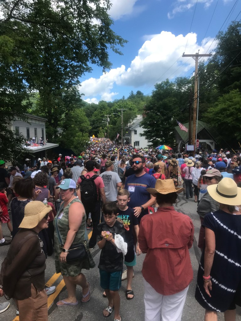
The masses! 
Found a quiet spot with friends 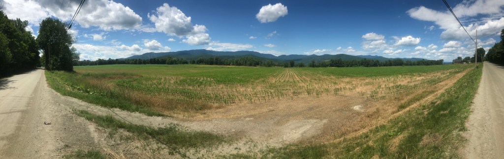
From the Common Road 
The hay bales each have an American flag stuck into them 
I still have my “Buddy Badge” on (#1219) 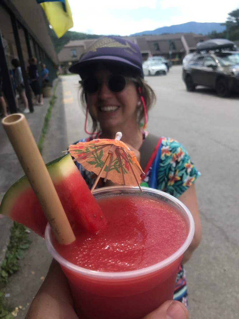
Rewards!
The Details:
https://www.strava.com/activities/7414875569
https://www.strava.com/activities/7414947863
https://ayvri.com/scene/gdkz16el5z/cl5qyjywn00013b6uzy5mhxel
https://ayvri.com/scene/gdkz16el5z/cl5qyo7zl00013b6uv8o5ujk3

One thought on “Ride 33: Waitsfield, Fayston, Warren, Granville & Hancock”