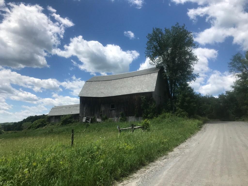
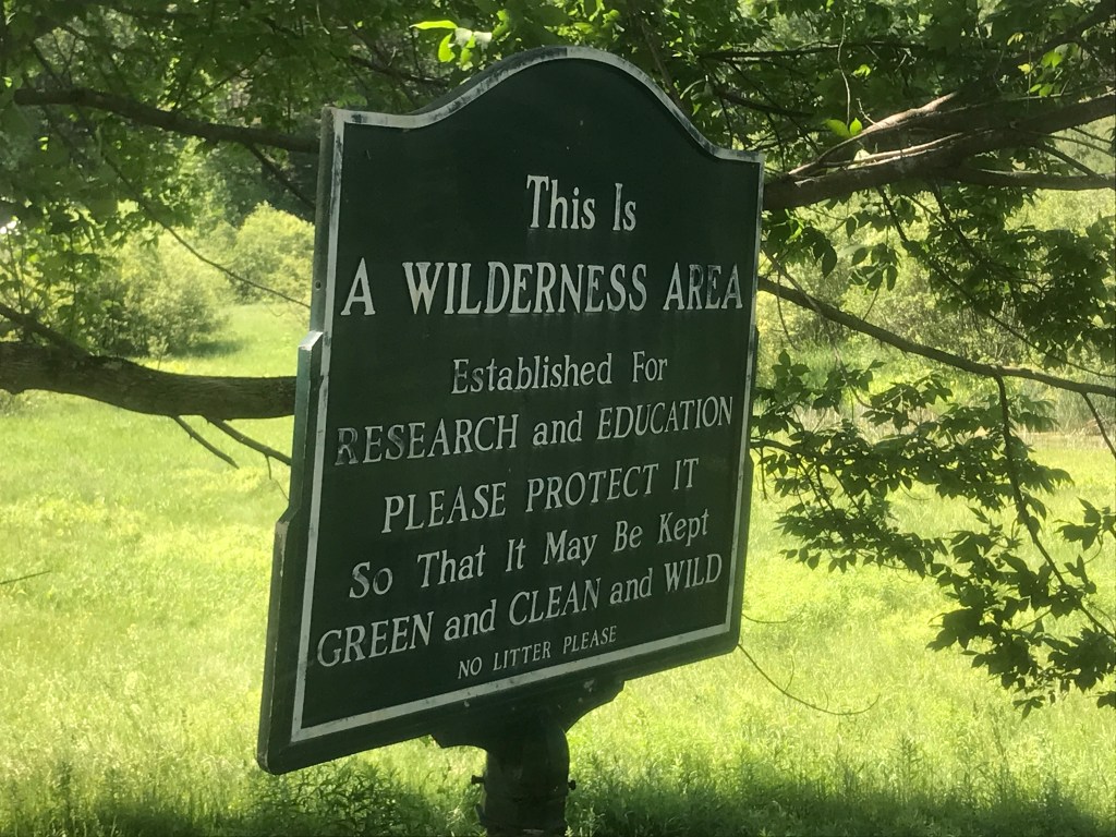
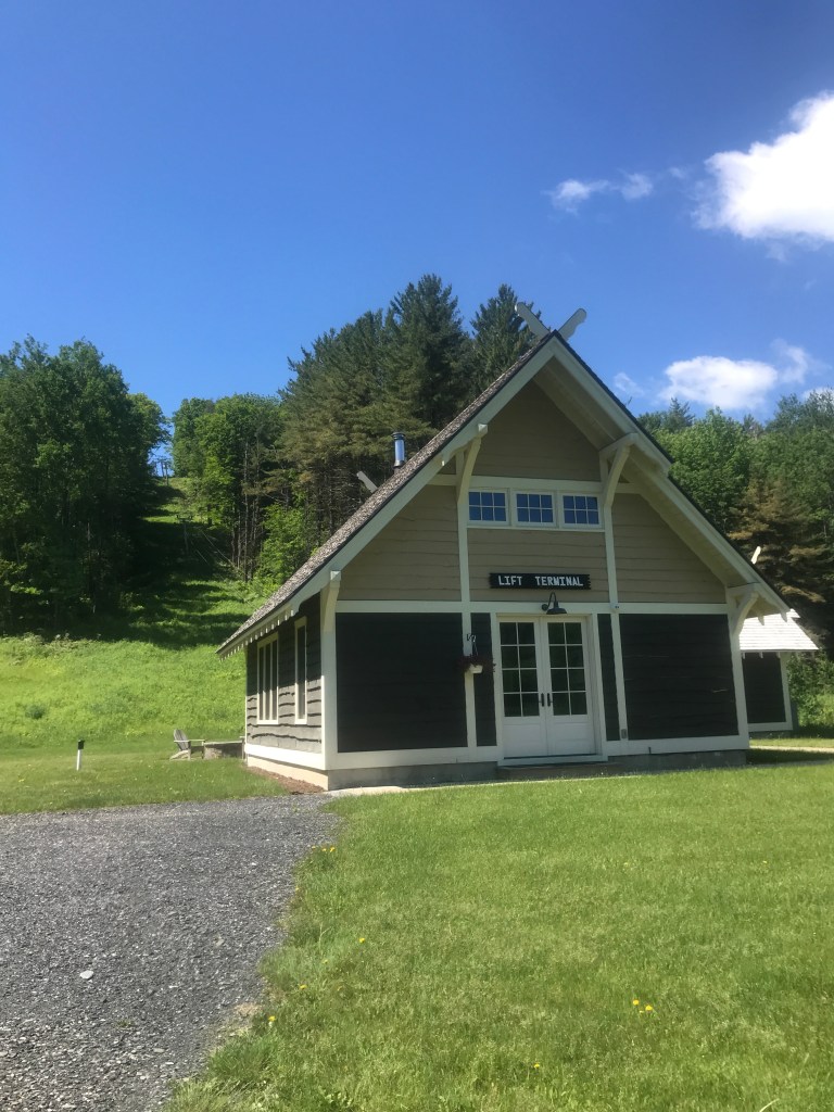
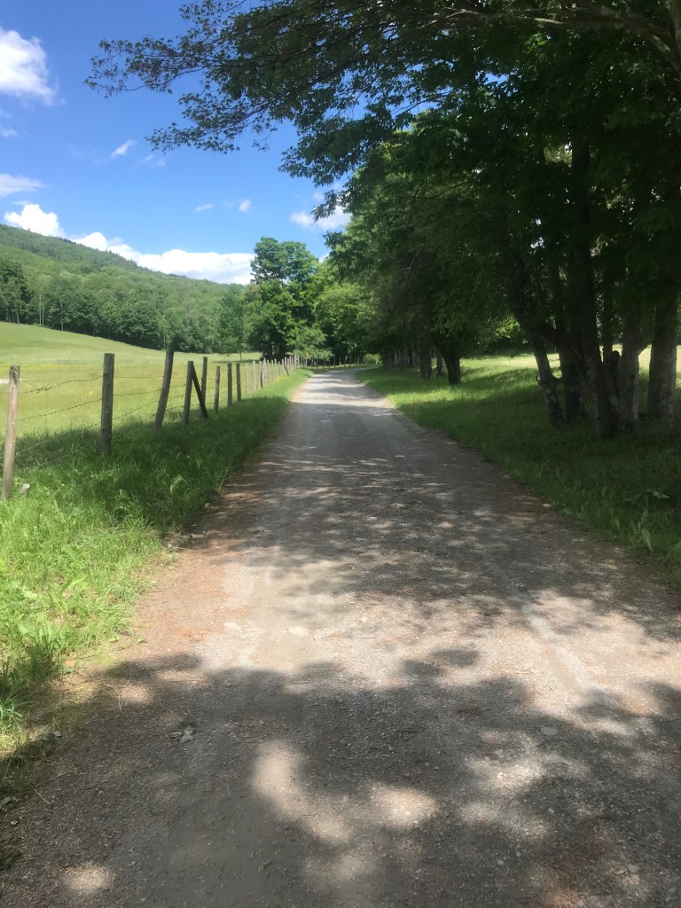
I began in Brandon, a beautiful downtown whose sidewalks have finally been completed and also recently played host to a classless rally by the Vermont GOP. I pulled up next to the local library and hopping on my trusty Salsa, weaved by way past the many great shops, breweries, galleries and restaurants to head southwest out of the village. I quickly came to the Otter Creek and made my first crossing via covered bridge of the day. After that, I began my first major climb up High Pond Road. Towards the top I was struck by a sign advertising the area as “Wilderness”. I later found out that it’s not technically defined as such, but the High Pond Natural Area does look really nice despite this Grouch’s review. Just a hundred yards past the sign I was also stunned to see a meadow with four, small lovely buildings, one of which sat at the bottom of a t-bar ski lift! It turns out this was the site of the former ski area called High Pond Mountain. Since it fell into disrepair in the 1980s (and to be honest since that last link was updated) it is now in private hands and the main lodge and restaurant buildings have been rehabbed and turned into private homes, plus the entire t-bar was rebuilt! Sadly the area is privately owned and they have no plans to open it to the public. However, a piece of Vermont skiing history was preserved, and I don’t really begrudge them for keeping it to themselves.
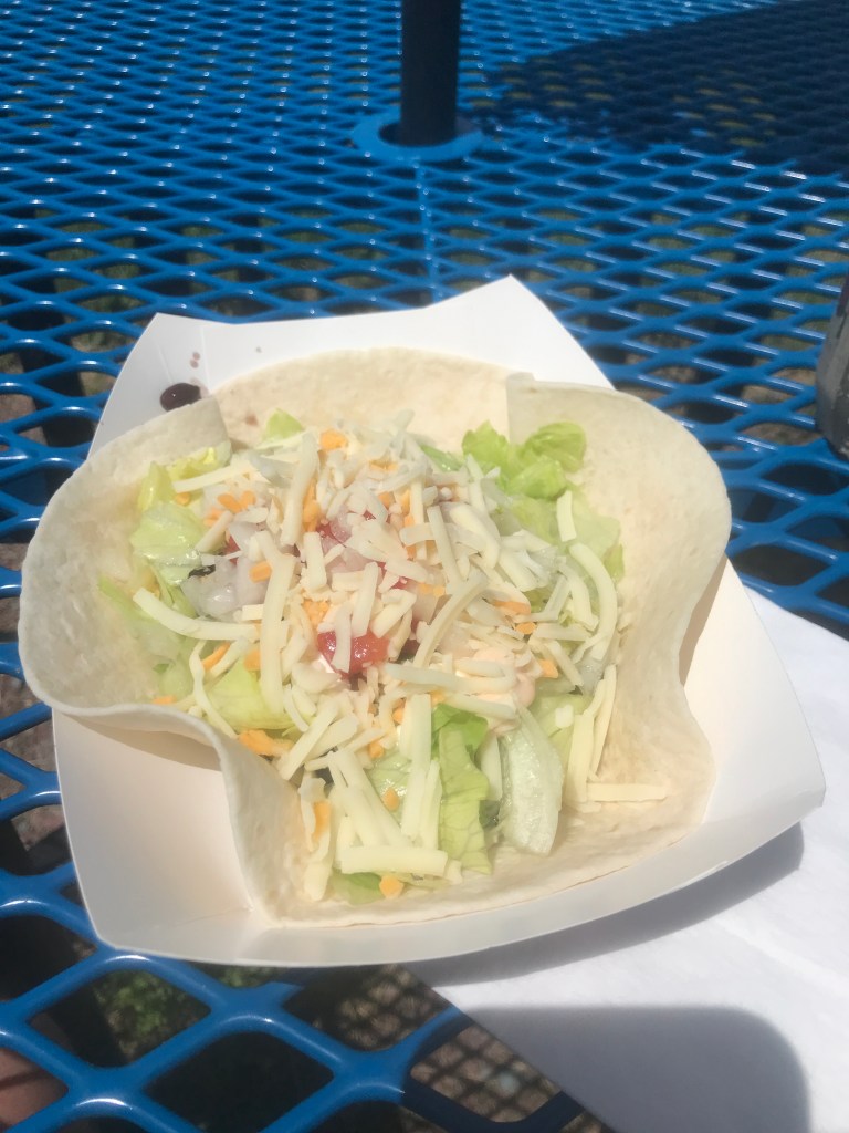
I had now passed into Hubbardton, which is most famous for its battle. As I descended, I could have taken a left and gone up to the battlefield, but I’m more of a scenic descents, kind of guy, so I proceeded downward. I crossed Route 30, past Austin, Roach and Breese Ponds and was astounded by the amount of damage that’s already been done this year by the spongy moth caterpillar. I mentioned this a couple times already, but those little buggers are moving further and further, eating leaves and making it look like April in June. I rode over and dodged innumerable caterpillars on my ride and definitely passed through areas where I could hear the droppings hitting the ground like a rain shower. I pushed on through a somewhat sketchy Class IV section that I thought would be simple because it used to be a part of the Vermont Super 8 bikepacking route. It certainly appeared like I did some light trespassing, or someone posted a public right of way. Either way, I pushed on into Benson, and stopped at West Coast Tacos. This is a taco truck I’d passed many times on my way south on Route 22A to my Mom’s house and have always wanted to stop. Sadly, despite the name, the tacos were decidedly Vermont-style (read: mediocre), but even bad tacos are good and I was happy to have the calories.


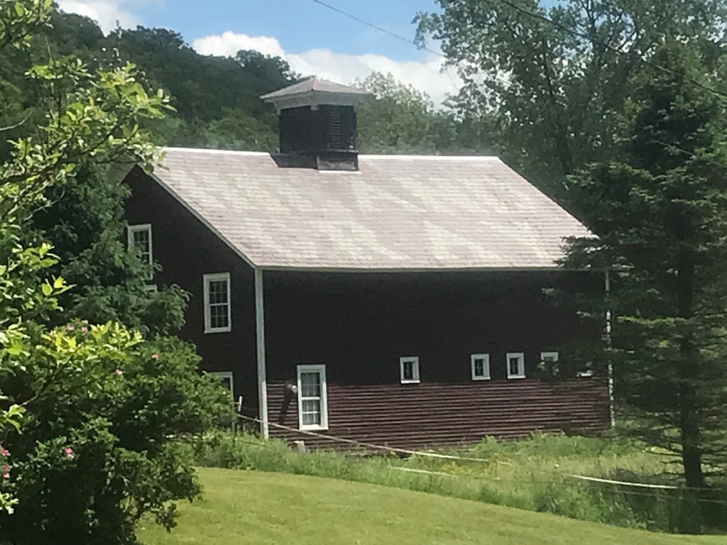
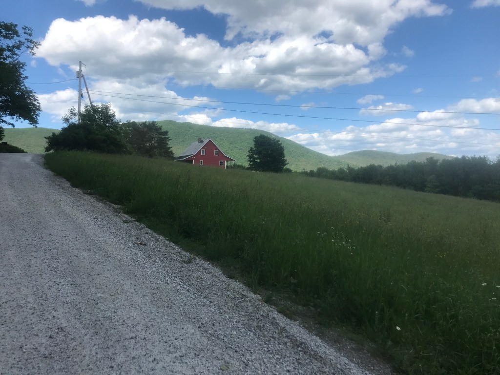
Across 22, lies Benson Village. In addition to a surprisingly detailed Wikipedia page, Benson has a lovely town center. Sadly the village store was lost to fire in 2019, but there’s still a tavern as well as a library and Presbyterian church. Heading south I passed a wedding venue before getting into West Haven. As I mentioned before this strangely shaped town is bounded by the Poultney River and is pretty much the only place in Vermont where you can head due east and hit New York. Note to self: I definitely need to come back to ride Bay Road to Galick Road out to the very southern end of Lake Champlian. It looks lovely. I crossed over 22 again and made a short climb up Bigelow Road to get some dirt in the town of Fair Haven. This moderately-sized town originally sprung up around mills on the Castleton River, but continued to grow thanks to the slate quarrying in the area. The Slate Valley extends approximately twenty-four miles along the New York-Vermont border from Granville, NY and Rupert, VT north to Fair Haven, VT. The area is rich with a diverse array of slate colors that can be used in many different applications. The area drew immigrants to work in the quarries and associated industries and despite ups and downs it’s still a successful area of slate production and only one of three areas in which slate is produced in the US today. The area is also known for its “inscribed” barns where the date or some name or message is spelled out in slate on the roof. I later passed one that said “Hiland Gray” on a road of (almost) the same name. I made a water stop just south of the town green, because I knew I had quite a doozy of a climb coming up.
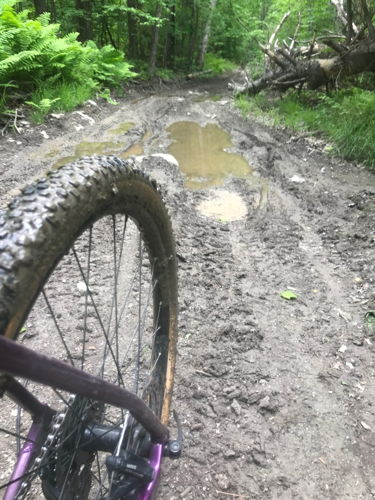
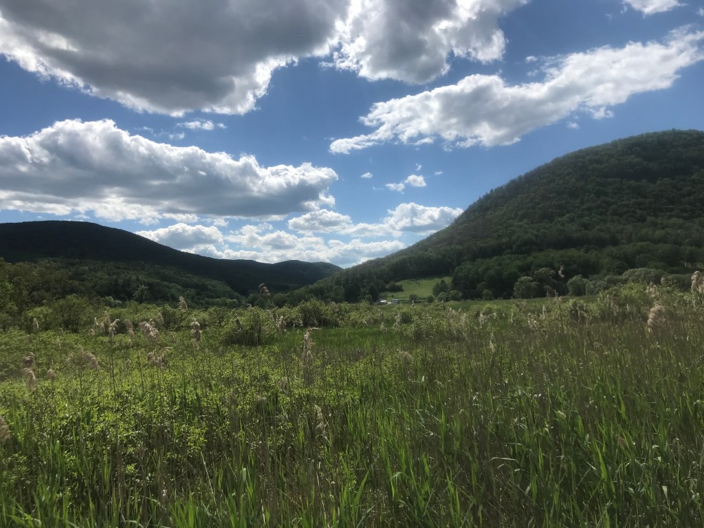
I crossed into Castleton, hitting some of the D&H Rail Trail before peeling off to duck south into Poultney. Until 2019, the town was home to Green Mountain College, a small liberal arts school with a creative bent. Green mountain was one of a number of small schools in the area to shut down during a rash of closures. I didn’t make it all the way down into the lovely village, but instead headed up into the hills. At the top of the first hill I came upon Pond Hill Ranch, the self-proclaimed “Largest horse leasing service in the east”. In addition to a bunch of random horses standing around a paddock, there is a large arena where they hold rodeos, barrel races and horse shows. I didn’t even know you could lease a horse, let alone that this huge operation existed! After a quick downhill, I continued climbing up. I was headed up Ames Hollow Road towards the Bird Mountain Wildlife Management Area. It’s a significant nesting site for Peregrine Falcons and is a beautifully remote, rough area. It has the same feel as the Notch in Orange from Ride 19: it begins as a lovely farm-type road, becomes rockier with a hunting camp or two, then becomes the realm of ATVs and wildlife. I reached a saddle and there was a split and most people crazy enough to be on bikes probably call it good enough and bear left to continue north and down on Birdseye Road. But that would have kept me out of the rugged parts of tiny Ira, so I turned right, kept climbing and dealt with the overgrown and rougher trail. The town is named for Ira Allen, the first Treasurer and first Surveyor General of Vermont as well as brother to Ethan. I eventually popped out onto Ira Birdseye Road which connected me to Route 4A which I could cruise down into the marble valleys of Rutland County.
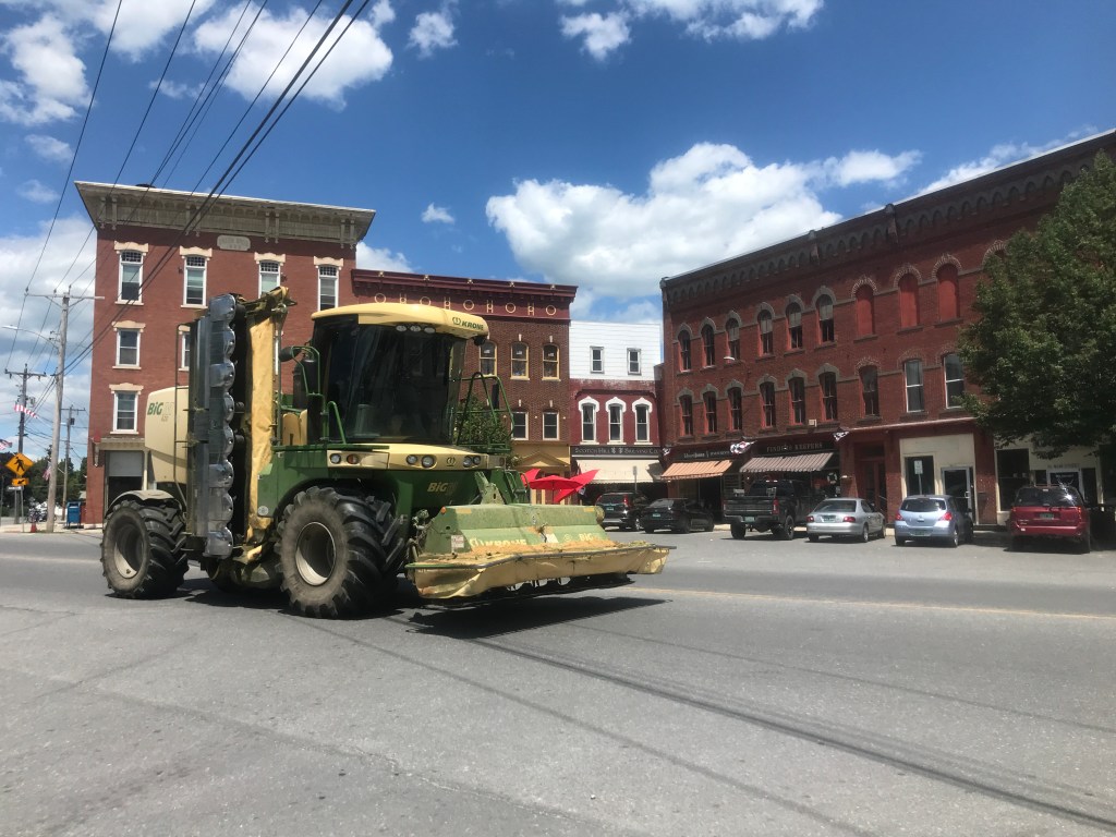

The town of Rutland was incorporated in 1761 as one of the original New Hampshire Grants. Since then, it’s been chopped up into four different communities and you can certainly see the local history through the shifts. In the early years things remained largely agricultural, like much of central Vermont. In the 1830s marble deposits were found in what is now West Rutland and Proctor. The railroads allowed Rutland marble to get to market and also helped the burgeoning city of Rutland to develop. Helped on by pressure from marble companies, in 1886 Proctor and West Rutland were split off as separate towns. In fact, Proctor is named after and was once almost entirely owned by Redfield Proctor who was at one point the president of the Vermont Marble company and eventually became Lt. Governor, Governor, US Secretary of War and US Senator. In 1892, Rutland City split from Rutland Town and we got to the funky borders we have today. I crossed the West Rutland Marsh and headed south on Marble Street passing by dormant quarries and active sculptors. I zipped through the Marble Street Historic District, and followed the railroad tracks over into Center Rutland. I made a pitstop at the Sunoco Station/Headshop. Seriously, they were selling bongs in there. Anyway, my PB&J went down quickly and I was on to Meade’s Falls and (yet another) defunct small college: the College of St. Joseph. I then followed a bike path along East Creek which (once you get past the Marble Valley Correctional Facility) is quite lovely. It was then into Pine Hill Park and up and into the woods.
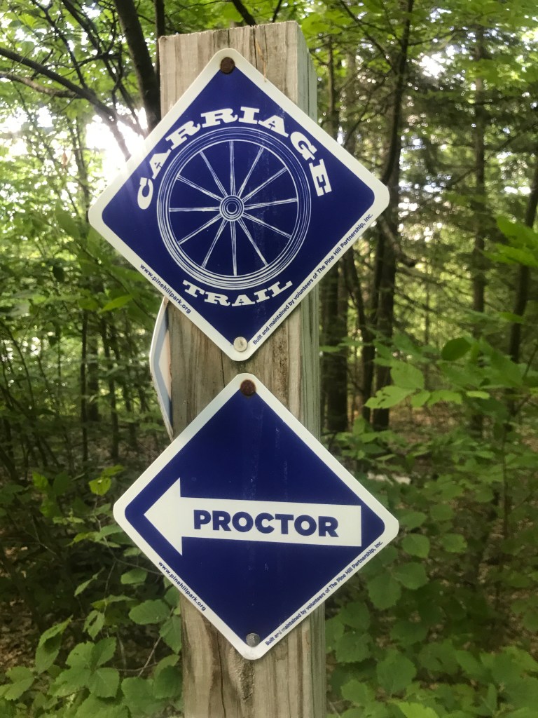
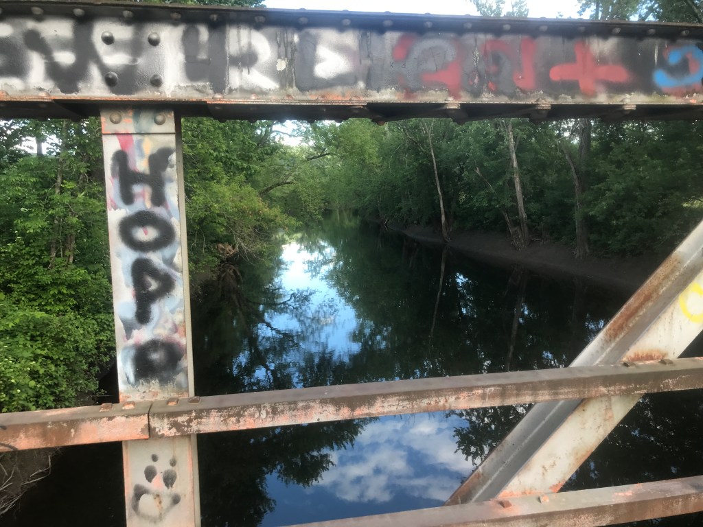
The land that is now the park came into the city’s possession when Henry O. Carpenter gave 273 acres of land to Rutland in 1921. Over the next 20 or so years, city and WPA crews made improvements to the park, centering mainly on a road that led up to Rocky Pond. A recreational area operated during the 1950s, but didn’t last long. These days, the area is crisscrossed with dozens of mountain bike trails, and the old road up to the pond and a connector over to Proctor are maintained as the “Carriage Trail” which I slowly began to climb. It wasn’t too tough, or too eventful, but I did end up chatting with a nice guy towards the top. As much as I enjoyed chatting with him and his cute dog, the bugs were horrendous and I was getting tired. So I cruised down into Proctor: spooking a ruffle grouse, then popping out of the woods, over the beautiful Marble Bridge, past the Vermont Marble Museum and north into Pittsford. The last town of the day is luckily a (relatively) flat one. Through its center runs the Otter Creek and the town boasts four covered bridges, over which I crossed three. I had planned my route to wend into the village in case I needed anything, but I was good on water and supplies, so I just took a quick breather on the green, admiring the banners that the local high school puts up every year. I passed the most residential-looking post office ever in the hamlet of Florence and turned north on the amazing Syndicate Road which leads all the way back to Brandon. I’m not sure where the name comes from, but this seasonal road shadows the Otter Creek and has a lovely truss bridge in the middle. It’s probably too buggy to ever camp there, and it was a bit trashed at points, but it’s a hidden gem and a great way to end the ride.


The Details:
https://www.strava.com/activities/7261691986
https://ayvri.com/scene/gdkz16el5z/cl421ti0800013f6ti3y570as

Once again, reading this detailed and vivid description was almost like being there.
LikeLike