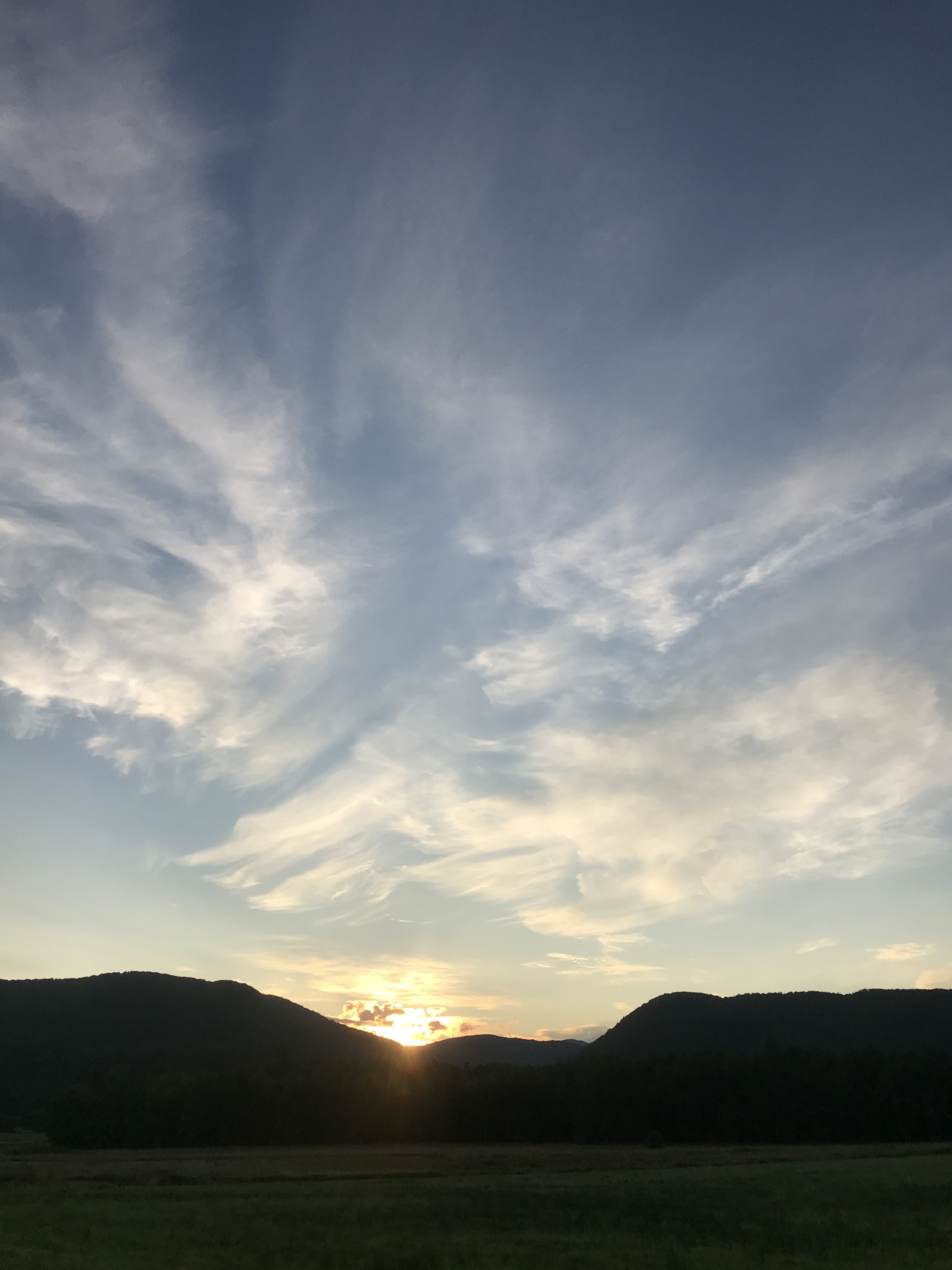
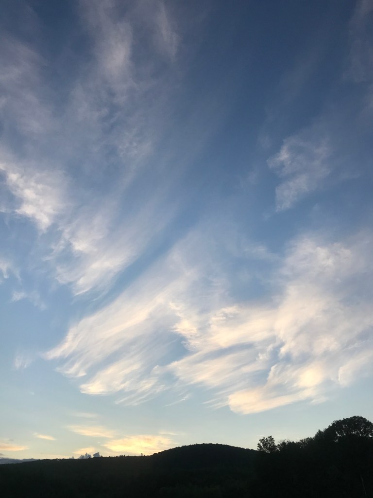
After the Labor Day holiday, the weather had taken a turn towards the autumnal, and so had my schedule. The weekend after Labor Day is always At Hop in Burlington’s South End. Generator, being the hip and creative place that it is, decided to participate this year. This was an exciting prospect, but it took a lot of prep. It also meant that I’d be working a long day Friday and then for most of Saturday. However the weather was forecasted to be that PERFECT blend of cool start and warm sun that September seems to always grace us with. It also happened that Maddie was getting up early for a rescue shift, so I decided to ignore how tired I was (and would be) and sneak in a 251 ride early Saturday.
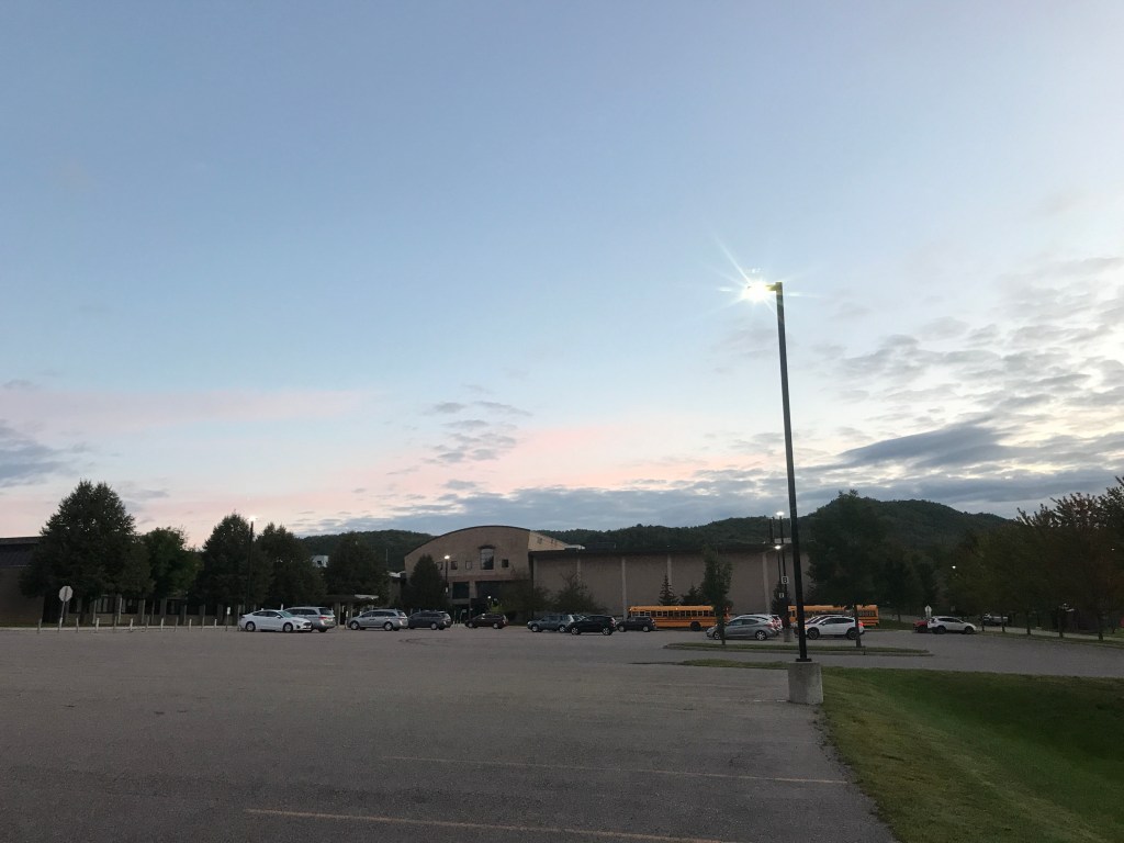
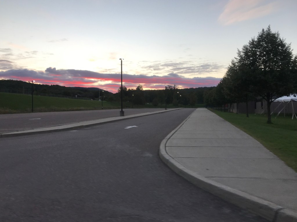
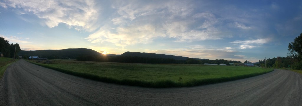
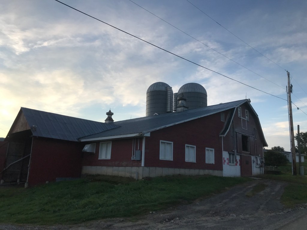
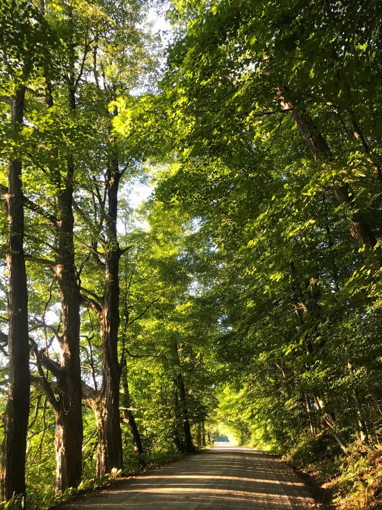
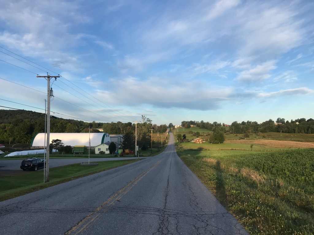
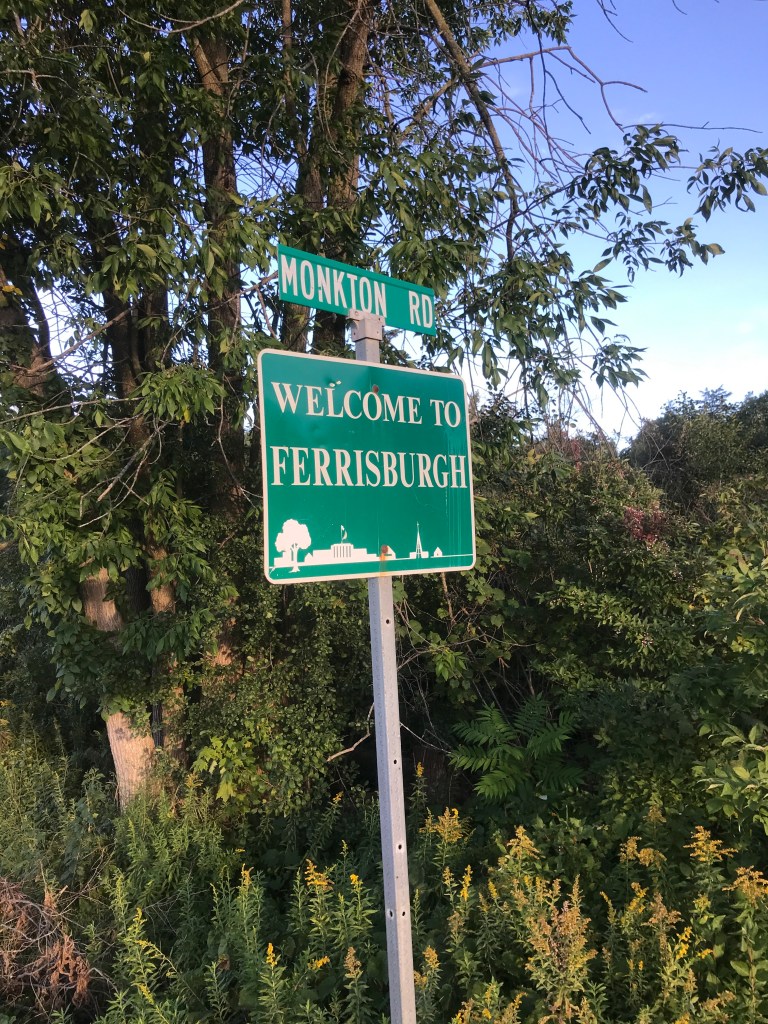
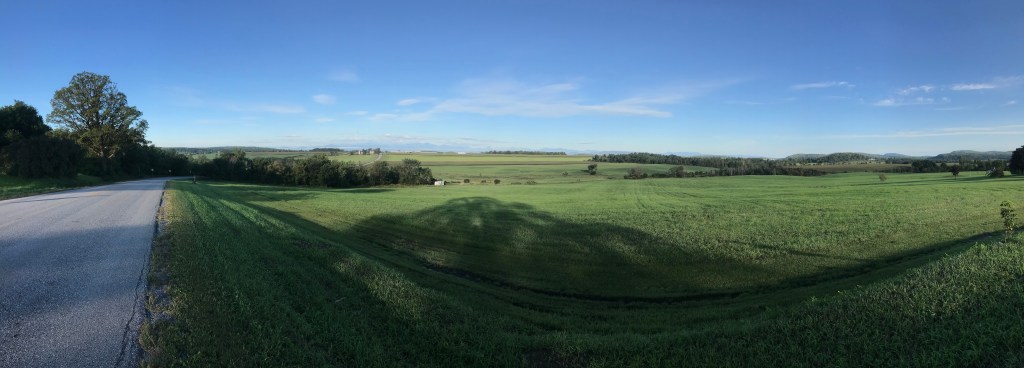
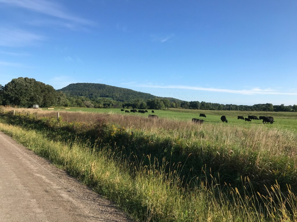
So that’s how I found myself at Champlain Valley Union High School at 6:20 am with the Ultimate Frisbee teams gearing up to head out. I had chosen this route because of its proximity and relative shortness. It covers a fair bit of familiar territory, but I was excited to piece it all together and to have it be an official 251 ride. I began by circling the school in search of a porta-potty (a mission I failed, only to find out later there are bathrooms that are typically unlocked by the baseball field). CVU is a great school and my friend and regular riding mate Brad teaches History there. With the sun just starting to brighten the horizon, I headed south out of town. At the end of Mechanicsville Road, I turned left onto Route 116 passing by the Hinesburgh Public House. That’s Hinesburgh with an “h”, as opposed to the way the town officially spells it. There’s a whole story behind how to spell the name, but suffice it to say: the town has gone back and forth with “h” dropping and whole other towns have brought theirs back (Ferrisburgh in 1990 and Alburgh in 2006) Hinesburg has yet to do so. I worked my way south out of town along 116 and passed by the site where a cyclist named Richard Tom was killed in 2015. Since his death, a foundation has been founded in his name and they are “dedicated to enhancing the health and well-being of cyclists of all ages. We strive to ensure that resources are readily available for everyone to discover the adventure and joy of cycling.” I, along with 400 other cyclists, rode in a memorial ride the week after his death and there is an annual fundraiser ride through the area. I continued south and passed meadows, forests and the occasional farm. The towns I’d be riding through would be a healthy mix of those. This area is fairly well-to-do financially, but it’s still got some hardscrabble left in it. One of the farms I passed was Full Moon Farm. They raise organic veggies, pigs, chickens, eggs, flowers and CBD on 25 acres. They’re also co-run by the former Lieutenant Governor of Vermont, Dave Zuckerman. The Progressive was in the Vermont House from 1997-2011, the Senate from 2013-2017 and served as Lt. Governor from 2017, until his unsuccessful bid to oust popular Republican Governor Phil Scott last year.
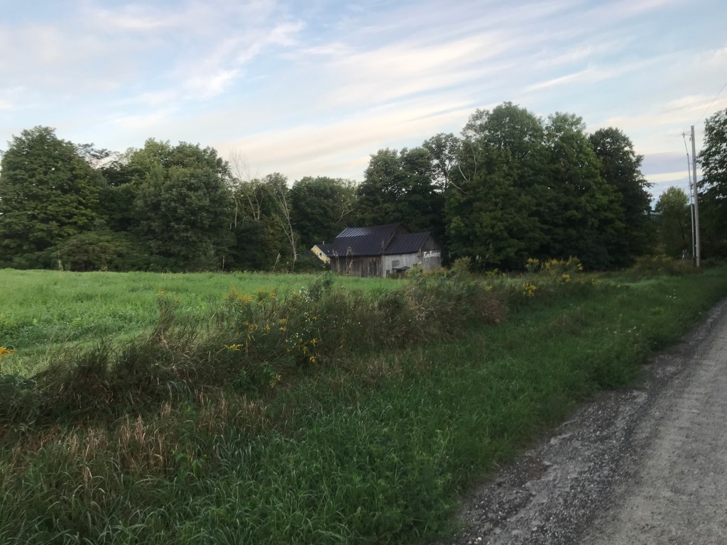
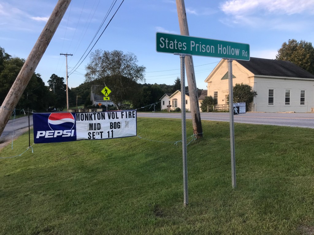
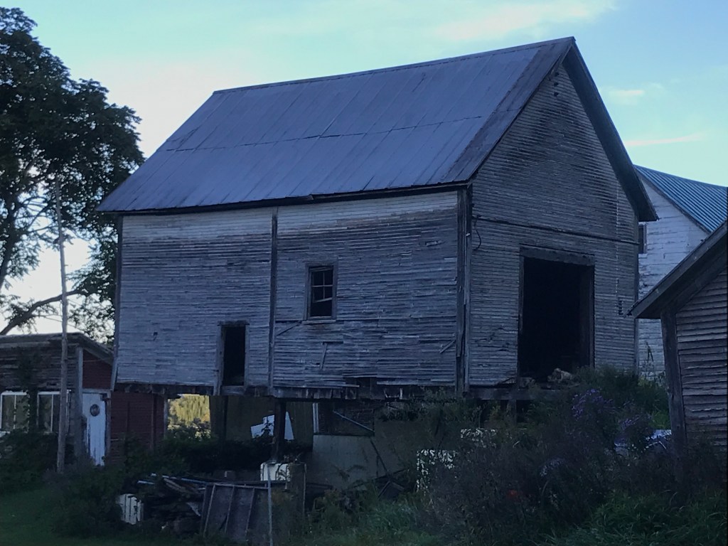
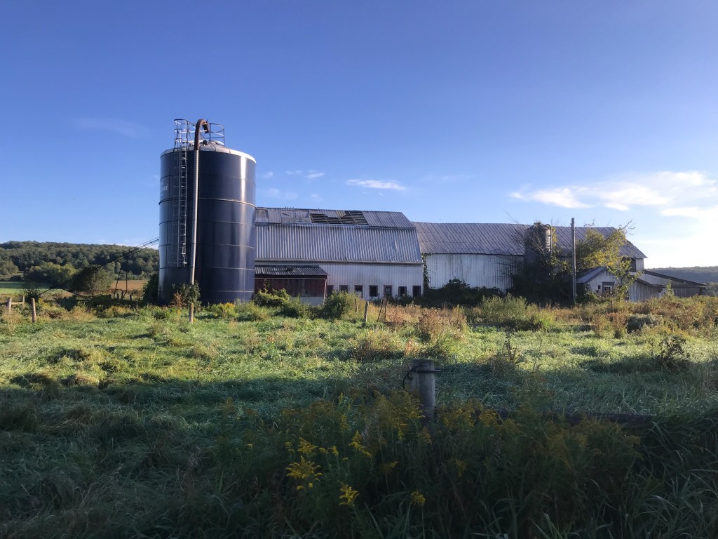
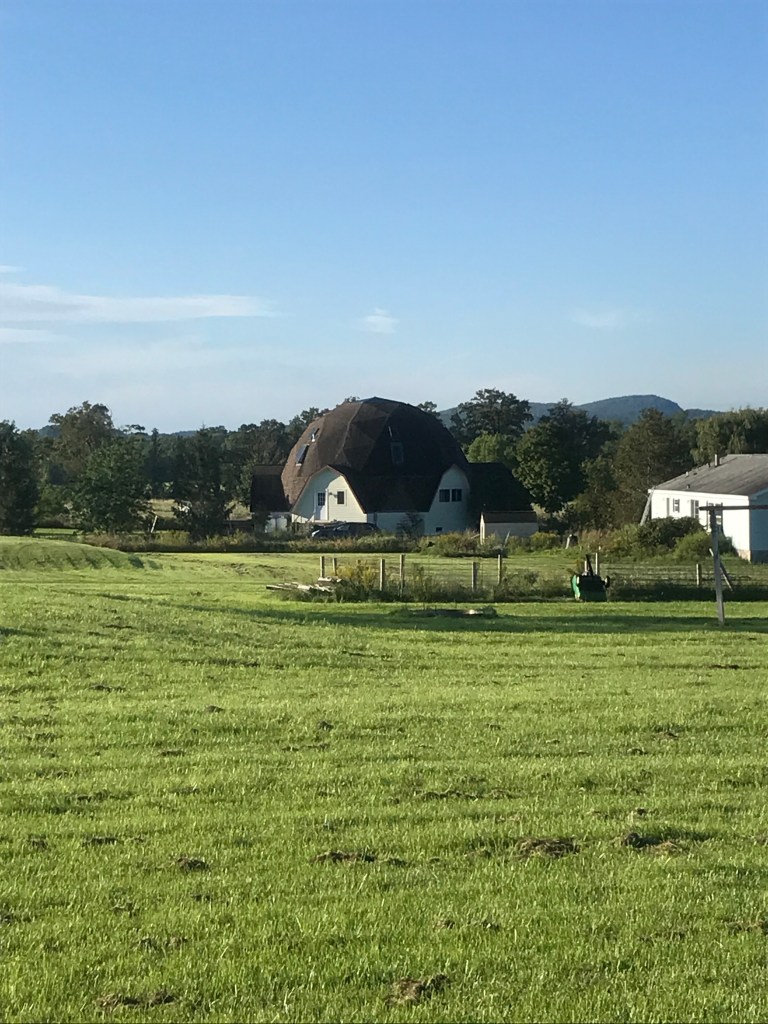
I soon entered the town of Monkton and not long after, came to one of my favorite road names in the world: State’s Prison Hollow Road. It runs between Monkton Ridge and Route 116 in Starksboro. There has never been anything resembling a prison along it, and there are a few theories as to how it got its name. There’s one involving the poor farming conditions and another revolving around the “wild” people living there. But most locals agree that it came from the hollow itself: in the winter it was sometimes a difficult place to get out of once you got in. I wasn’t riding towards the Hollow, so I didn’t have to fret about the length of my sentence. I turned west and gently climbed up Monkton Ridge, a small hump of land that helps hem in a small valley. On the ridge, there are a few farms and orchards, a chocolate shop, the town hall, an adorable little library and a pretty good view over to the Adirondacks. I also found a banner advertising the Town Fire Department Mud Bog, happening that day! For those of you who don’t know what a mud bogging is, it’s an event that typically uses an artificially dug pit filled with water to which people bring their trucks (either regular trucks or more typically souped-up “Mud Trucks”) and see how fast and far they can make it through the bog. It’s apparently a lot of fun and draws all types: our local VPR radio personality Jane Lindholm took her kids and it even had a short documentary made about it. I was bummed I wouldn’t be able to make it, maybe next year. I turned onto Monkton Road which skirts Cedar Lake and went out past the elementary school to begin the only really steady climb of the day: Boro Hill. It is a little punchy to start, but I was able to settle into a rhythm. It helped that one of my favorite downhills was coming up afterwards. Piney Woods Road is an amazing tunnel of a road with just the right angle and curves to allow you to let loose, but still be a bit scary if you let too loose. I enjoyed every second of it (and my legs didn’t mind the rest either). At the bottom, I took a right onto Parks Hurlburt Road. I’m guessing that’s a person’s name, but my research yeilded no official word on that. This began a section of what appear to be detours on the map, but the roads don’t actually connect. There is one road named Dean Road that looks like it should hop the Little Otter Creek to Wing Road, but doesn’t and again Wing Road looks like it goes through to Fuller Mountain Road on Google, but it doesn’t actually. While this was a little frustrating in planning the route, the “long-cuts” were quite beautiful. Once I crossed into Ferrisburgh the real Addison County-scale farms appeared before me and the view to New York really opened up. I took Middlebrook Road north and was treated to a beautiful-in-its-decrepitude falling down barn as well as a geodesic dome house! I had friends growing up who lived in a dome home and it was fun to be reminded of them. I pressed on, not taking many breaks, knowing I was working against the clock.


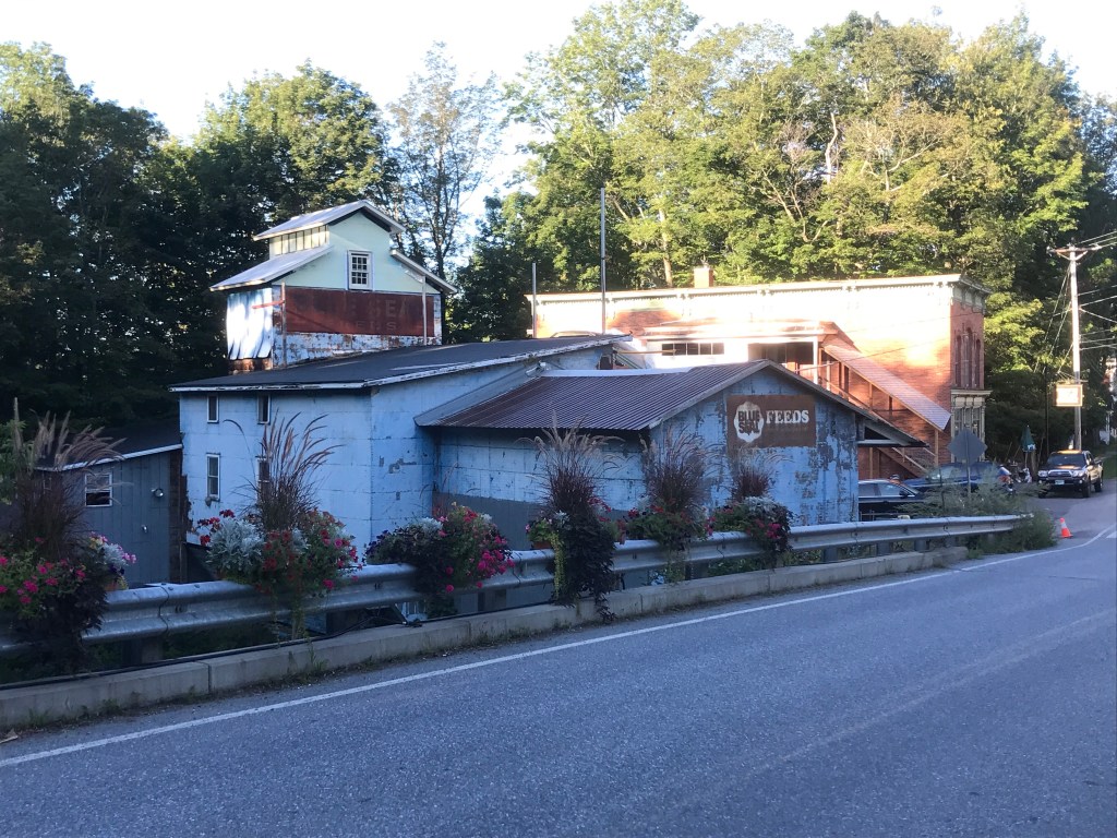
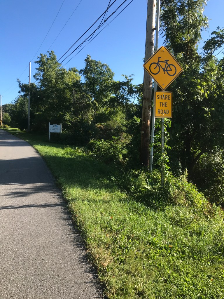
I continued north on Fuller Mountain Road. Typically roads that are named “(Something) Mountain Road” are quite steep and rough. But this one just skirts the 882 ft. above sea level “Mount Fuller”. It is dirt however, and a great ride. It wasn’t incredible scenery (though it was nice), I just seemed to be enjoying myself and I could really only place the credit on the road. It had some nice rises and curves that were just plain pleasant, I think. As I took a right onto Four Winds Road I entered the compact village of North Ferrisburgh. The settlement is nestled into a small hollow along the Lewis Creek, clustered around the falls there. The area has a diverse and incredibly well-researched history. It’s been the hunting grounds for both Abenaki and Iroquois (discovered arrowheads attest to that) and after their displacement, Quakers and other European settlers quickly developed the area. It was home to many different industries to work with the raw materials from the surrounding area: a sawmill, two grist mills, two woolen mills, and a forge. All that industry also sprouted buildings to support the social and commercial lives of the residents: stores, churches and other more specific shops. The area today still houses some businesses, but they’re not all exactly industrial (The Piano Gallery for example). But it’s an amazingly intact village with wonderful architecture and readily apparent history. In fact, about half of the buildings in the village are listed in the Vermont State Register of Historic Places. I had driven through before, but because I was in such a rush that day, I’ll need to come back and really take my time soaking it in. I turned north onto Spear Street and into Charlotte. Spear Street’s northern stretch in South Burlington is famous for its sprawl and McMansions, but down here at its southern terminus, it’s more bucolic. Just over the line is another Monadnock, just like Snake Mountain from Ride 22. Mount Philo is the location of one of the state’s most popular state parks, thanks mainly to its short hike or drive to the top and its a spectacular view. I worked north and west, around the back side of Philo: far from its entrance and the hustle and bustle of Route 7. These roads were dirt lanes through some hayfields. They had just been cut and raked into windrows, so I just had to stop and take in the spell. The views weren’t half bad either.


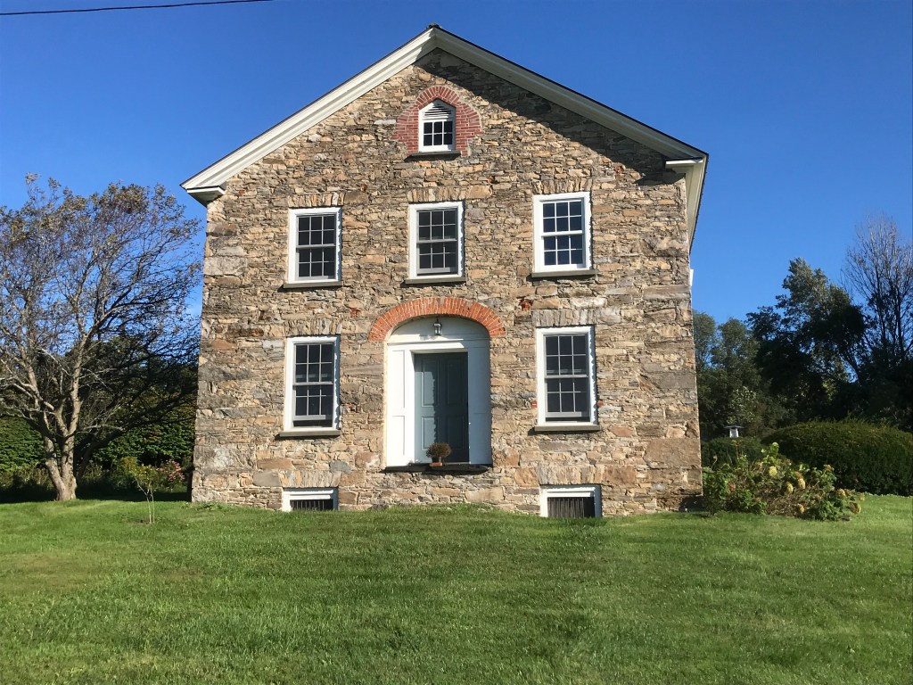
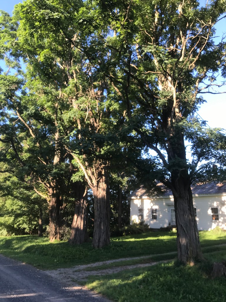
After flirting with Philo, I continued west for a little. I soon came across Adam’s Berry Farm. Adam’s moved to Charlotte from Burlington’s Intervale (remember the riverside farm area from Ride 20?) in 2014. They’d had enough of the floods that frequent the area, so they dug up their entire farm and transplanted it 15 miles to the south. They only lost a small handful of plants during the move which is quite a feat. Past Adam’s I jumped onto Spear Street again for a minute then turned right, towards Prindle Corners. This area highlighted some of the fancier homes of Charlotte. The town certainly has a reputation for having more expensive and sometimes lavish homes. Nothing like the monsters up on Spear Street: usually they’re pretty tasteful. There was a mix of actual historic farmhouses along with some more modern takes on the form. As I passed one of the historic ones, it finally clicked in my brain that I associate Black Locust trees with old farmsteads and especially old farms in the Champlain Valley. It turns out my gut feeling is based in history: they’re not native to Vermont and were planted by farmers due to their usefulness as rot-resistant fence posts! I love when a feeling like that is confirmed after a little research. It’s that kind of moment that makes me really appreciate this project: I may have never looked that up otherwise.
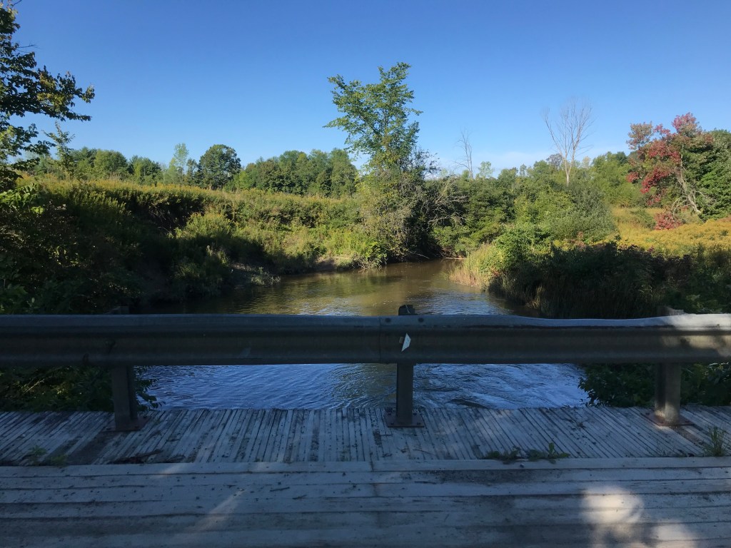
I had another striking moment around this stage of the ride, though this was a somber one. I had acknowledged that it was the 20-year anniversary of 9/11 that morning when hearing the news on the radio, but I hadn’t really felt it yet. On the ride, I all of a sudden had a rush back to that day: being in 10th grade physics and hearing the announcement over the speaker sharing vague details about the awful events of the day. By the time I got in front of a TV, the towers were down and I was feeling shock but also a little guilt that I’d been blissfully ignorant for two or so hours when seemingly the rest of the world had been feeling so much panic and fear. As I rode, I had vivid flashes of memory from throughout that day: waves of anger and confusion, disgust and deep sadness. When I looked at the time, I realized it was just before 9:00am: the time when the first plane hit. It could have very well been a coincidence, but I really felt something at that moment. It was a sobering, serious feeling. Not the type I typically have in the middle of a ride, but I pushed on to finish up. I crossed the La Platte River twice and took on the one section of Class 4 on this ride: Leavensworth Road. It was in fantastic shape actually (my Honda could have probably made it through). I zipped back into town and up to CVU. I had made such good time I was able to get home for a shower, get to work and enjoy an awesome day of Art Hop!


The Details:
https://www.strava.com/activities/5942349036
https://ayvri.com/scene/gdkz16el5z/cktgh4m7l00013g6im1a4dzbd

Thanks, I enjoyed this one a lot. Who lived in a dome house? And how strange that you had that sudden and intense feeling about September 11. I guess we all have detailed memories of where we were, but how strange that yours were close to the exact time.
Love you! Mom
LikeLike