Ride 4: Montgomery, Lowell, Westfield, Troy, Newport & Jay

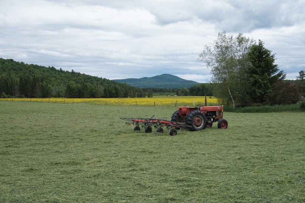
It being the Independence Day holiday weekend, this ride had some other events to content with. Not that we were jam-packed with parties, but it’s a long weekend in July, so you want to fit in as much as possible! So the night before, Maddie and I decided to head to the Sunset Drive-in to watch a double feature. Not just any double feature though: it was Jurassic Park and Jaws! How amazing is that! To see those movies on the big screen was so fantastic. However, in order to see those movies on the big screen, it also needs to be dark, which it’s not these days until at least 9:00. So with an intermission break, that meant we weren’t in bed until 2:30. And with the heat coming on Saturday, I planned with Brad to start riding at 8:00. But honestly, it wasn’t all that bad. I just was semi-useless in the afternoon and took a solid nap. Anyway, that was just a lot of preamble to essentially brag that I got to see cool movies at the drive-in and that I did this ride on 4 hours sleep. Sometimes I brag, so sue me.

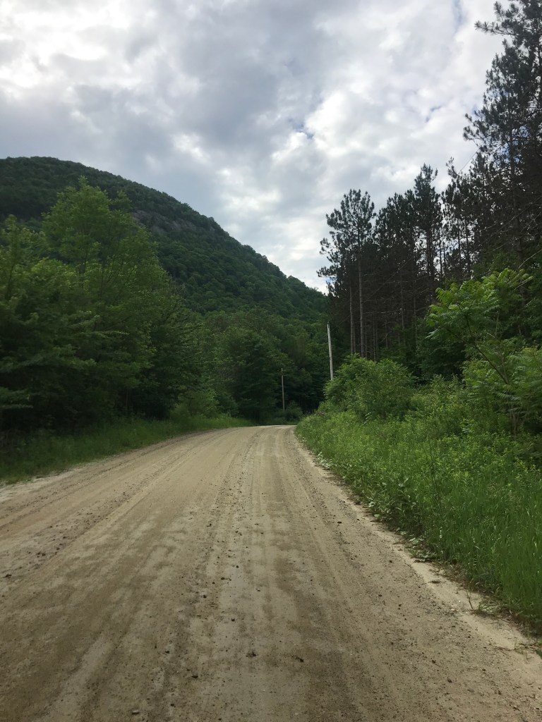
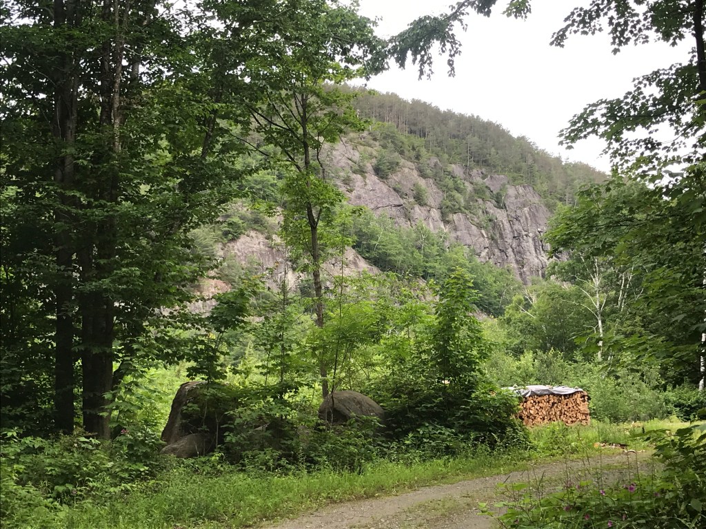
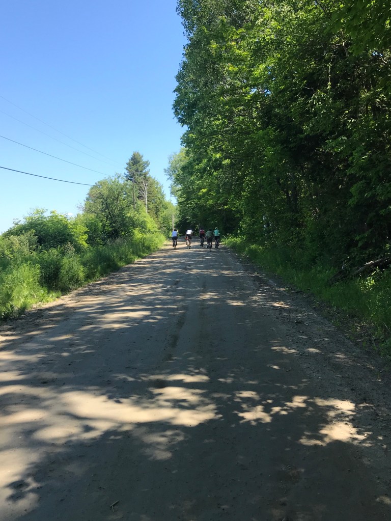
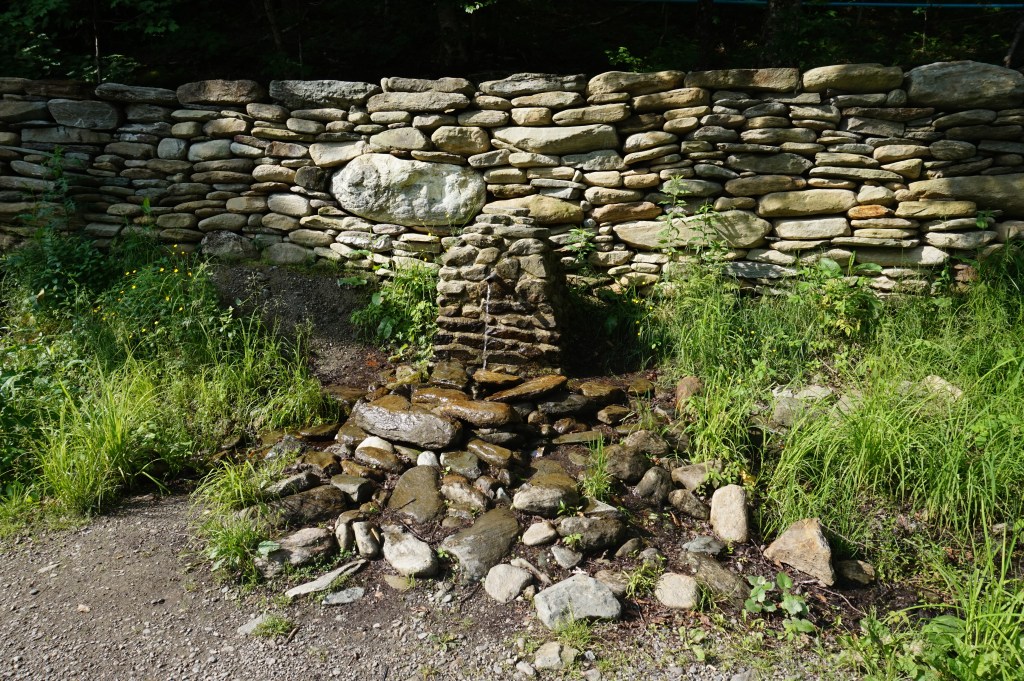
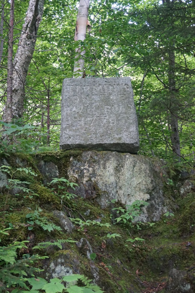
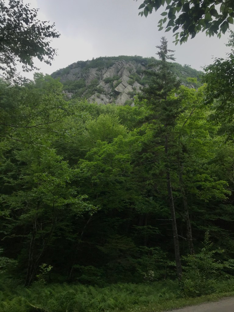
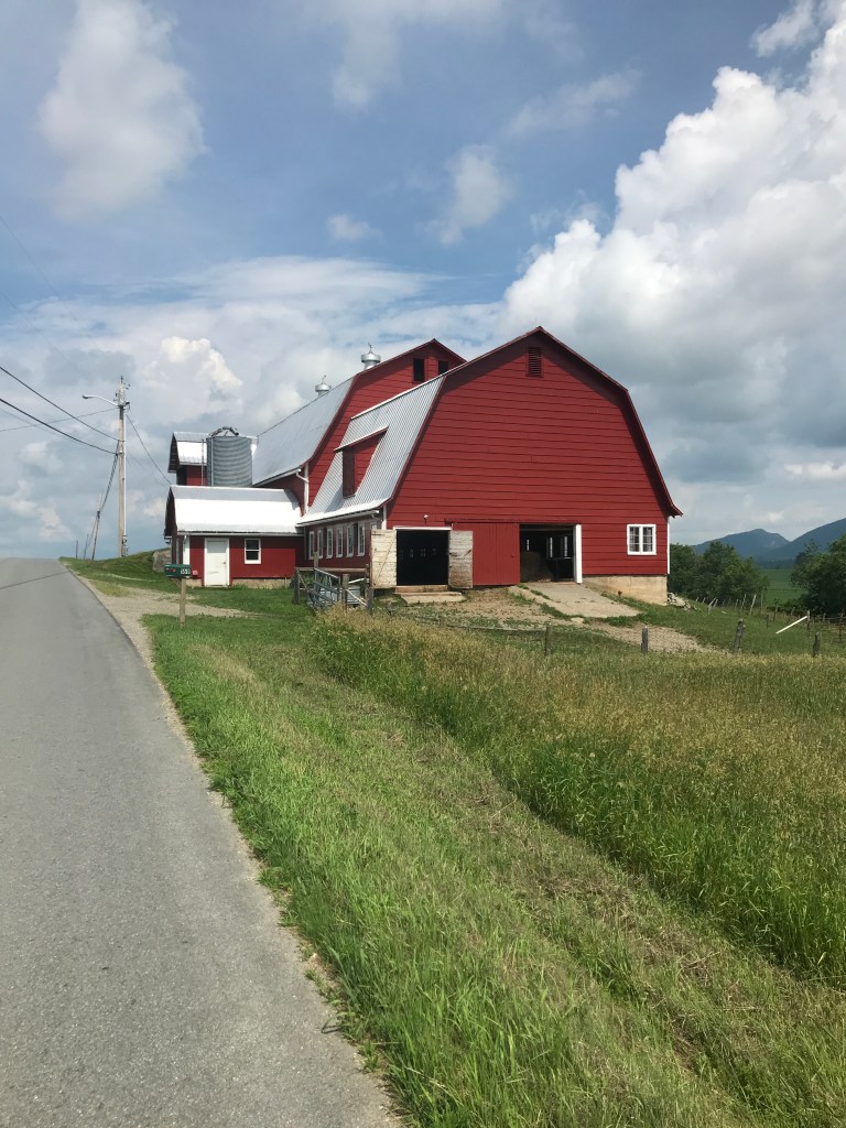
So Brad and I met up in Montgomery that morning at our friends Jake and Carrie’s place. They were camping at Green River Reservoir, but agreed to let us use their driveway…and pond, but more on that later. Feeling the humididy already, we quickly got ready and headed out. Leaving their house we used Amidon Road as a cut-over to Hazen’s Notch Road (AKA VT Route 58, the only state route I know of that’s dirt for a significant portion). Hazen’s Notch Road rises quickly out of Montgomery Center and with its steep pitches and dirt surface it’s not maintained during the winter. After a hearty climb, we reached the top. Someone had recently rebuilt a retaining wall that contained a spring. There was also an old stone tablet which reads “Terminus of the Hazen Road, 1779” in reference to the Bayley-Hazen Military Road which was built during the Revolutionary War. We enjoyed the views of the sheer walls of the notch and I at least was thankful for the break from the climb.

The well maintained spring. It reminded me of many I’ve seen in the mountains of Central Pennsylvania.
The end of the Bayley-Hazen Road.
Beautiful cliffs.

We then had a cruiser of a downhill following the Notch Road for long enough to dip into the town of Lowell. I try not to just catch a corner of a town, but this is one of those cases where it just made sense for the route, so why not? We then turned north and headed past a campground that apparently hosts something called the “Bare Bones Bash” every year, which is some sort of motorcycle rally. It looks like a rager. The roads trended downwards so we had some rolling hills to Route 100 near the village of Westfield. By the time we were back on pavement, the humid overcast skies had melted away.

Looking back into Hazen’s Notch.
Obligatory ride partner with barn photo.

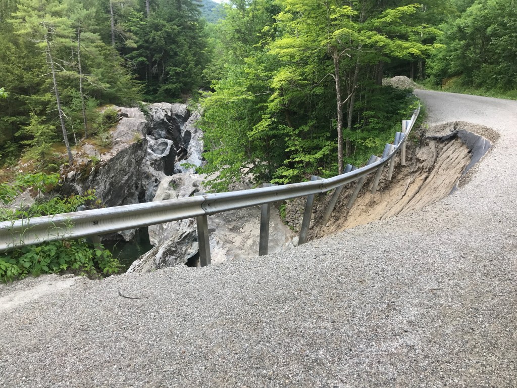
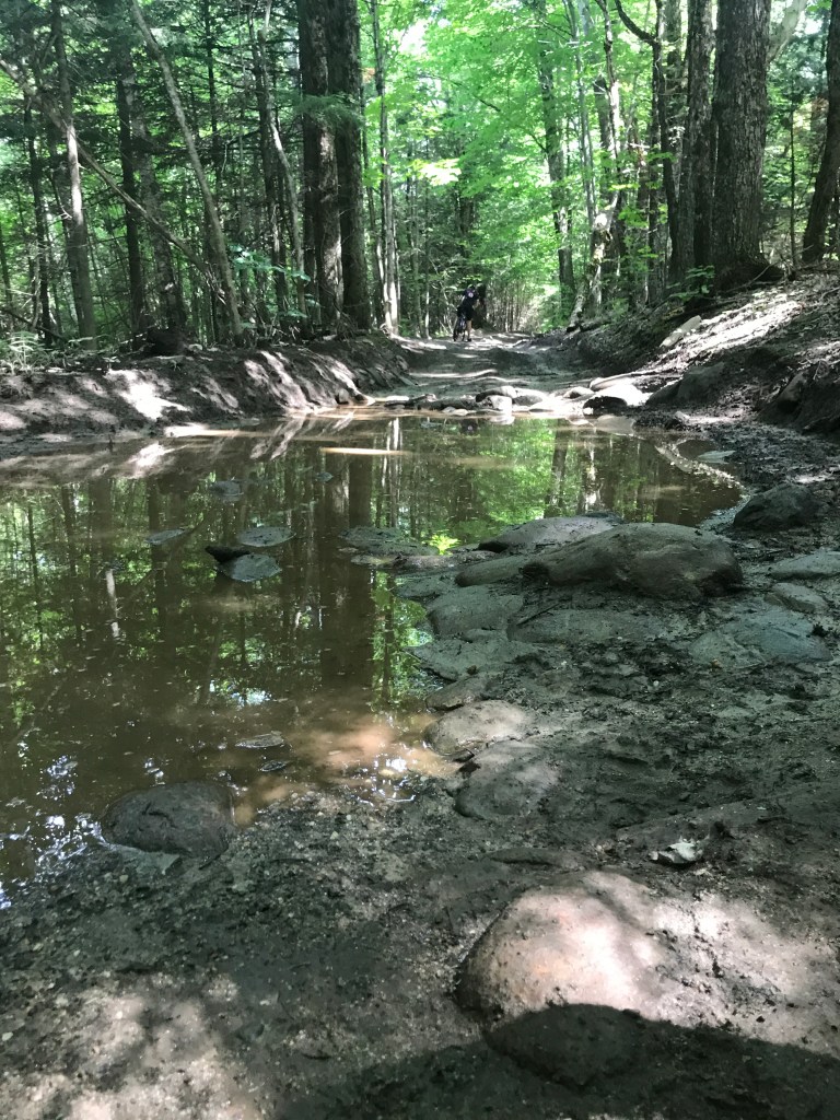
After a short dose of pavement, we we back on dirt and working our way up and east. I knew that my buddy Mike had a yurt out here and I kind of planned the route thinking we’d go near it, but I couldn’t remember the road name it’s on or exactly where it is. However, soon enough we passed right by it! He and his family weren’t there but it was neat to see it in the summer, as I’d only ever been there in the deep winter. We continued to climb working our way to the one stretch of class 4 road I’d put on the route. It’s always a gamble putting some of these rough roads on a route, but the section between Clark Mountain Road and Poginy Hill Road was the perfect mix of cobbles, mud and semi-flatness. It didn’t push us crazy hard, but was a nice challenge. We were then treated by another downhill as we headed north towards Newport Center.

Mike’s Yurt
One of the more wet spots of the class 4.
Clearing skies and cut hay.

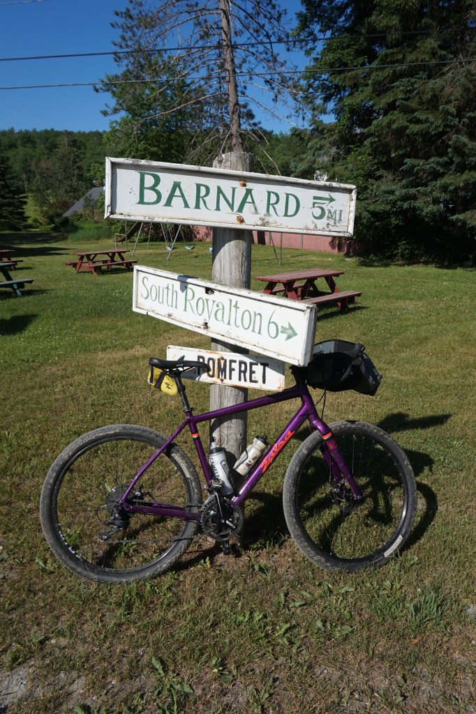
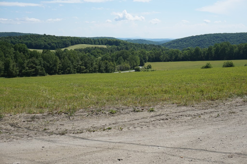
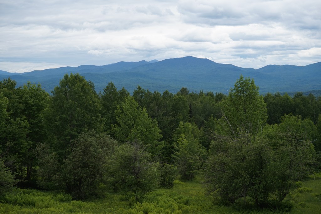
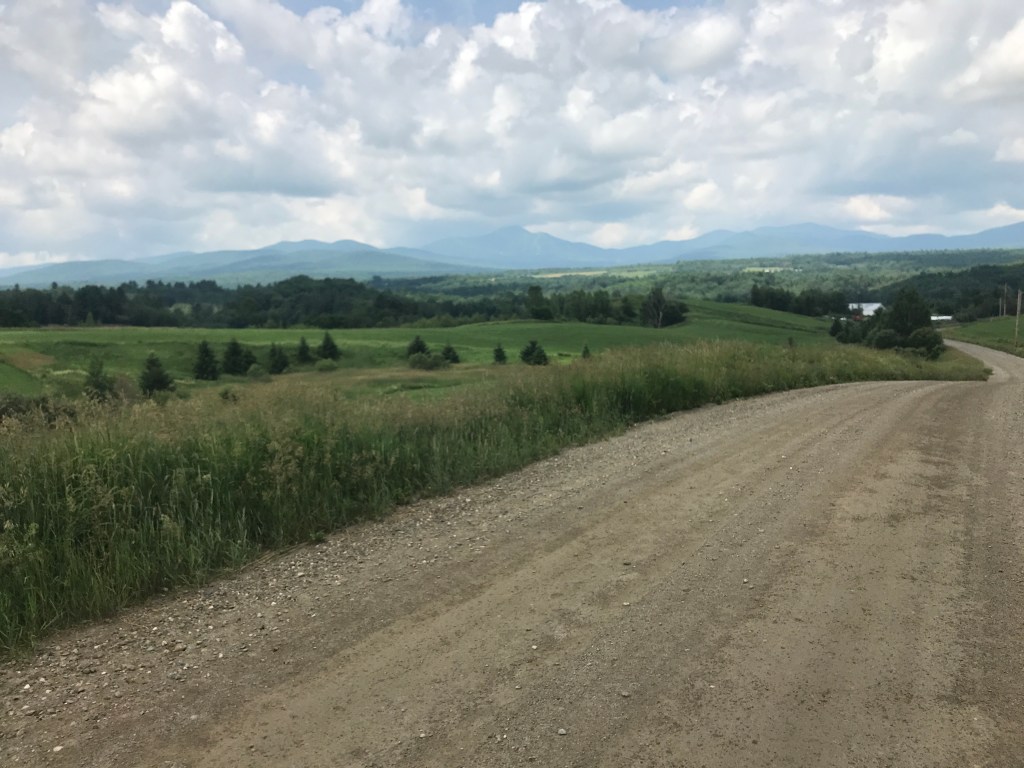
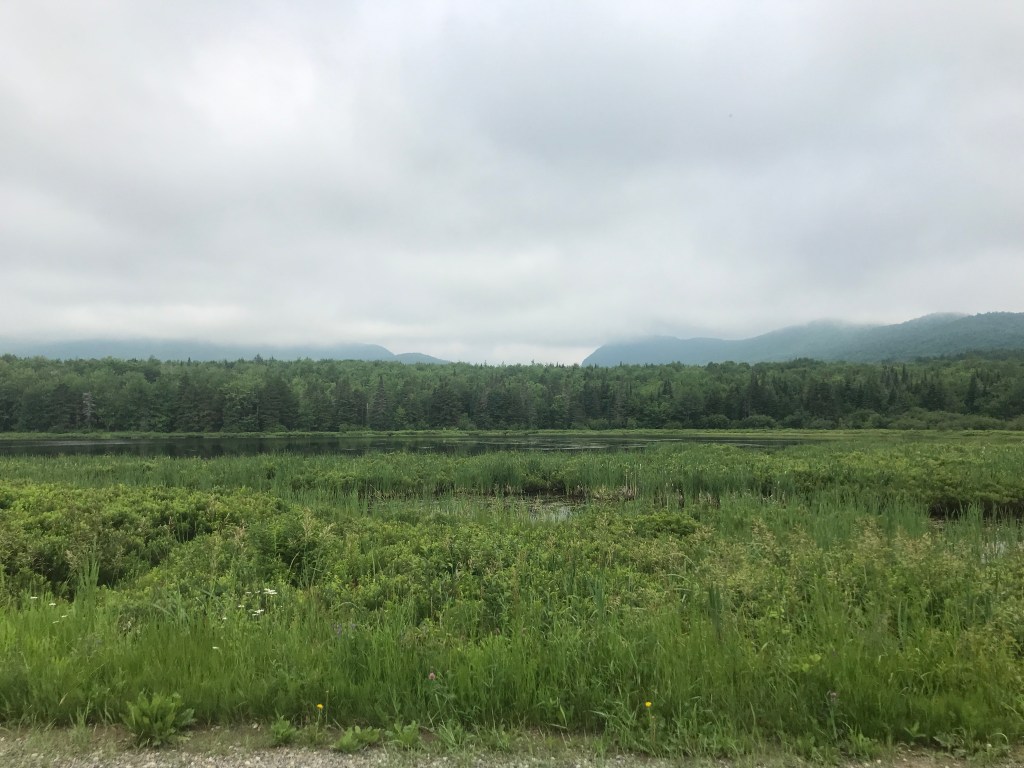
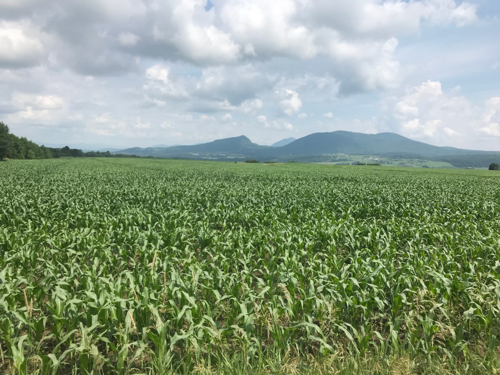
As we got further north, we began to have view up into Canada. These are the first border towns I’ve done on this project and it’s always fun when you can look into another country. There’s great riding up there in the Eastern Townships, but sadly that won’t be able to happen for a while. The views were nice for now though. This section included my two favorite roads of the ride: Niles Road (and later Bergeron Road, where the introductory picture was taken). From Niles Road you can see a couple of peaks that are just over the border (Mont Bear and Mont Hawk). They form a frame that Owl’s Head eventually filled as we moved west.

Niles Road views.
Mont Hawk (left) and Mont Bear (right) with Owl’s Head (center) coming into view.
More barns, because…of course more barns.
The River Road Covered Bridge at the bottom of Bergeron Road.

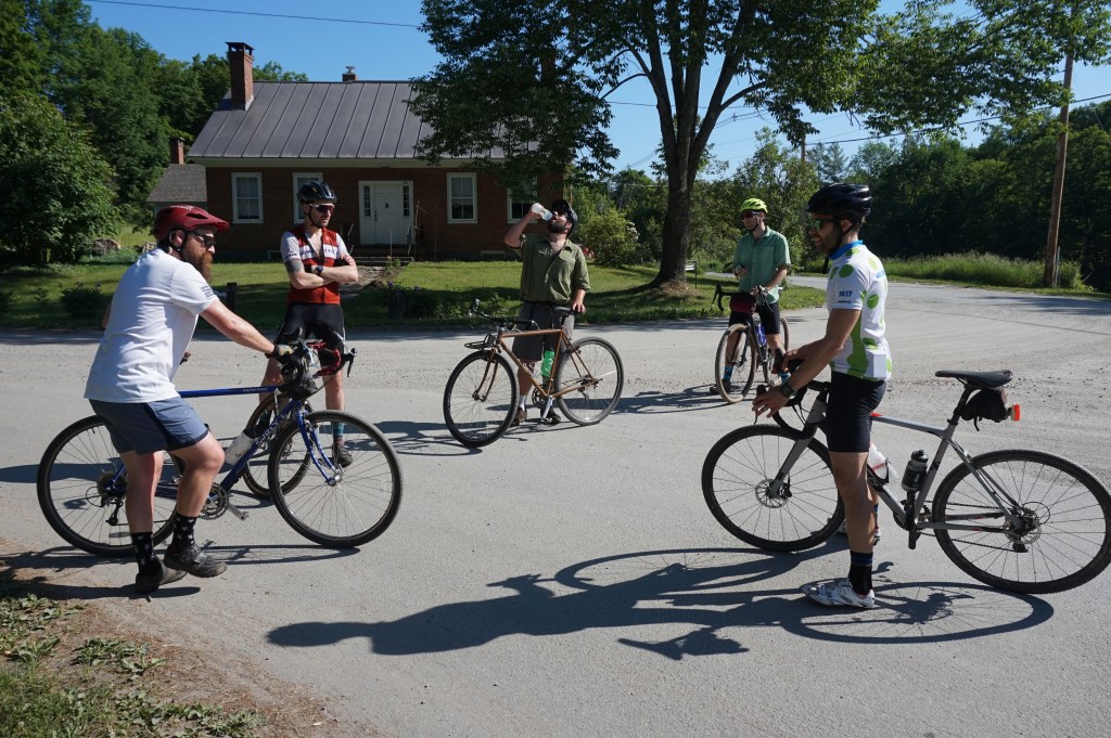
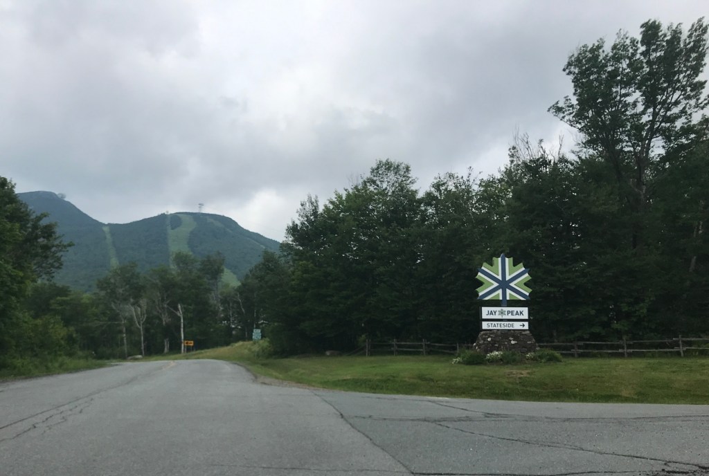
With the second big climb of the day looming we made a pit stop at the Jay Country store. We refilled water bottles, took a short break and prepared to climb. We both joked about using our mindfulness skills on the climb and just working on “noticing” things. But once we got into the climb, I really did need something to distract me. What it turned out being was the some of the music from Jurassic Park. It’s such solid John Williams fanfare-type stuff it really powered me on the up. Riding past Jay Peak was so great. Other than for my friends Chris and Christine’s wedding, I’ve barely been there in the summer. They now have a ton more stuff to do in the “off-season”, including a golf course and water park. On the final steep climb up to the top of the climb, I distracted myself with looking up into the glades and thinking about skiing deep deep powder. We finally made it to the top and were rewarded with a bombing run of a descent back to Jake and Carrie’s.

Some local wildlife at the Jay Country Store.
The Jay Cloud was in effect, even in the summer.
Bombs away!

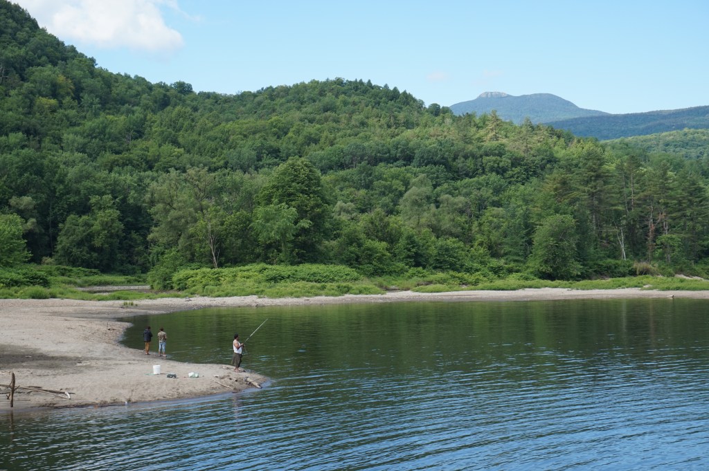
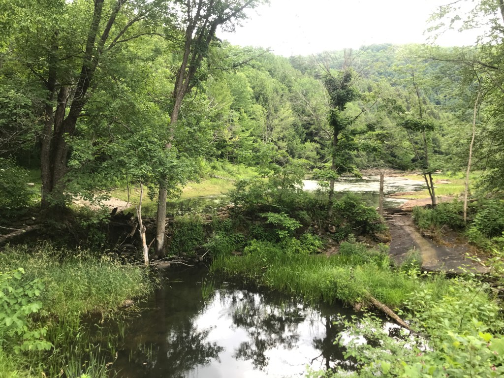
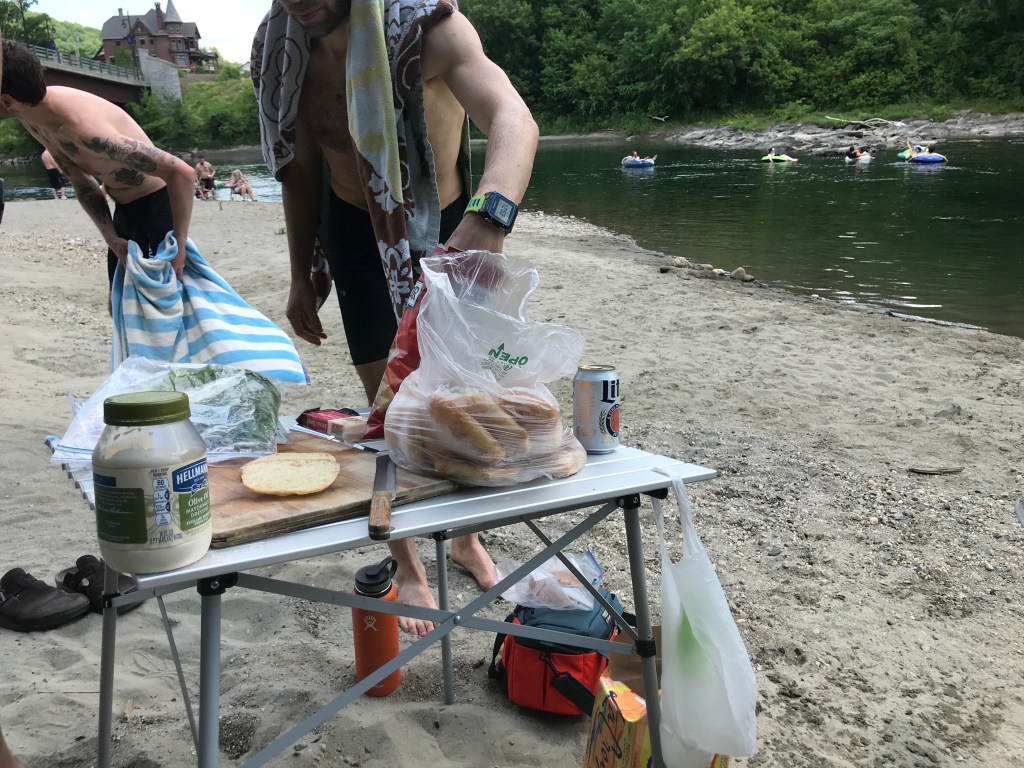
It was yet another glorious day for cycling. I very much appreciated the weather (and getting out early to avoid the worst of the humidity). Brad was excellent company as always, but MVP honors definitely go to Jake and Carrie for the use of their pond. It truly saved us at the end there.

Post-ride swims continue to not disappoint.

The Details:

https://www.strava.com/activities/3708398995

https://ayvri.com/scene/gdkz16el5z/ckc6jsy3y00013h69b15d88fu

Ride 3: Jericho, Bolton, Duxbury, Richmond & Huntington

It’s been a streak of amazingly dry, sunny weather over the past week or two: not great for the garden, but fantastic for riding. With that streak forecast to be ended on Sunday by showers and thunderstorms, I hadn’t planned a 251 ride this weekend. However, by Saturday night the coast looked clearer and I decided to give it a shot. Because I hadn’t planned on doing one, and because it was still supposed to rain by early afternoon, I chose to keep it local. Extremely local. Including my hometown of Jericho in this ride hadn’t actually been the plan, but since I looped it in and rode gravel in town, it counts! Because I knew these roads so well, this was not the only time I strayed from the planned route.

I began by heading out Nashville Road into West Bolton. I rode past Snowflake Bently’s House and my friend Tucker’s farm operation too. It wasn’t all lovely dirt punctuated with history and vegetables though: Nashville Road parallels the Ethan Allen Firing Range. The National Guard and others use it for training and exercises. Other than the occasional helicopter or distant large artillery firing, we can’t much hear it from our house. It is strange having a large portion of our town cut off from access (though you can nordic ski on the loops they maintain for biathlon training there). Anyway, after the flat cross over to West Bolton, it was a quick up into Bolton Notch.

Uncle Sam says no
Up into Bolton Notch

As you get into the Notch, things tighten in on you and it’s essentially a couple cliff faces, some wetlands, a house or two and the road. It’s got a nice quiet feel in there, so quiet in fact that I could clearly hear the peregrine falcons that nest on the cliffs. There aren’t too many places in the state where they nest and these cliffs are one of them. They’re so protected in fact that the state closes this climbing area and other habitat from April to August so the birds can raise their young without being disturbed. Fairly quickly the road tips down down towards the Winooski river. On the way down, I couldn’t help notice the thimbleberries blooming. They’re really popping off and we should have a good roadside crop this year. Later, I did see many members of the less-than-kind family of plants though (including poison parsnip) so be careful out there!

The thimbleberries were out in force
Upper Upper West Cliffs

After giving the brakes a workout, I arrived at the floor of my ride. Form here, I’d curve along the Winooski River, following it out the the Bolton Falls Dam. But first I had to get across to the south shore. Up until 5 years ago, I’d have to have ridden downstream into Jonesville, then back upstream. Hikers on the Long Trail also had to make that detour as well, until the trail was rerouted and a new bridge was built. It’s for sure still a footbridge and intended for use by hikers, but the GMC doesn’t seem to mind people hoofing their bikes up the steps and walking their them across. I for one was very glad to have the more direct route.

Following along the river is so nice. I passed many, many bikers taking advantage of the weather reprieve and quiet road. I also passed some people who decided to canoe the rapids under the railroad trestle, which is boney even with good water levels and the river looked quite low. Hope they didn’t leave too much of their boat behind on the rocks. Eventually I made it to the dam. There were some folks fishing and a group of dudes who looked like they were doing some whitewater instruction before heading into the water to practice. The dam was a nice place to rest for a minute. I’m always so curious about what the falls there must have looked like before the dam was built. Apparently this one was originally constructed in 1899, so I’d really need to use the wayback machine to see that. Oh well, maybe one day it will come down. But for now it’s generating electricity for Green Mountain Power and creating a half-way decent recreation area.

One of many LT crossings during this project, though it’s not often you can ride ON it
The Long Trail bridge over the Winooski
Bolton Falls dam

I worked my way back along Duxbury Road and headed into Richmond. This is where I called an audible and headed up Dugway Road. Unfortunately, Dugway was washed out during a fall storm last year. It’s been closed to all traffic since, and though that technically includes pedestrians and bikers, I decided to do a little light trespassing…it’s just such a beautiful road! I eventually wound my way south and into Huntington, past a tree farm, then looped my way back north. I eventually passed another dam, this one much older and on a different scale than the earlier one. Originally constructed as a sawmill in the early 1800s this dam created Gillett Pond and a ton of habitat and recreational opportunities. It’s a prime skating spot in the winter! The dam is obviously in disrepair and needing some help. While there is a move to take down many dams, (to me) the positives of this one outweigh the negatives. There’s a group called Friends of Gillett Pond who are working to get a new dam built. After passing the pond, I rode the rollercoaster down Wes White Hill, across the Winooski in Jonesville and back up Stage Road. I then cut back onto Nashville and bolted to the end!

Dugway Road getting dug away itself
Gillett Pond dam
Every state is represented (in alphabetical order no less!) plus a few extra VT plates

Being able to just jump on my bike and tick off a ride for this project was such a luxury. I know there will be hours in the car for many of these, so I’m trying to spread out the ones close to home. But I can imagine the last ride of this undertaking will be in a far-flung corner of Vermont, despite my best efforts to be intentional about the order. Looking forward to doing a little driving to get to a new route this holiday weekend though!

I got some good town signage. Close to a full set.

The Details:

https://www.strava.com/activities/3684362947

https://ayvri.com/scene/gdkz16el5z/ckc0foqwr00013h6900ndtf86

Ride 2: Sharon, Barnard & Royalton

5/6ths of the squad under beautifully hot conditions.

It was less than a week ago when this whole project kicked off and things sure felt different on ride number 2. First of all, there was the weather: overcast and chilly last Sunday and hot and humid this time. Plus there was the company, or should I say there was company. What a great squad: most of us are buddies who have known each other for years and have a solid text thread going that’s nominally about gravel biking, but also about all the other silliness that old friends discuss. That group was Kevin, John, Brad and Chris (missed you TyCo!). In addition, there was Kevin’s friend Tom and my wife Maddie! It was so much fun to have people to chat with and frankly distract me from the heat!

We met up at the Sharon Academy right off of 89 shooting to get riding by 8:00 and beat the heat. After gearing up, we began the long climb out of Sharon and into the hills south of Randolph. On the elevation profile it looks punishing (and it was no walk in the park) but the steady climb was punctuated by enough breaks, shade and views that it wasn’t half bad.

Taking a break not in the shade. Clearly it was still early.
The Journeyperson knew which way to go.

After reaching the top of our steady up, we were rewarded with a super fun downhill on some pavement. Maddie (per usual) was a speed demon and I tried to be, but was foiled by a dropped chain that occurred when I pedaled hard to pass some folks on the down. At the Barton General Store, we stopped for a snack, a water bottle refill and some more shade time. There were a ton of boaters on the Lake and even a physically distanced 5K/10K running race going on. With all this activity it almost felt like a regular summer day.

Note Chris fishing something out of his fanny pack.
Announcement: make sure you keep snacking!

We then started up and out, from Barnard, huffing up past Silver Lake State Park. At the top of a hill after that we had our first mechanical: John snapped his chain. I wish I could say this was the fist time I’d been on a ride with him where he’s snapped his chain, but it’s at least the fourth. John does not baby his gear and has been known to really throw down the power when it’s needed. He rode a fully rigid, single-speed mountain bike for years if that helps paint a picture. Luckily, he had all the right tools to fix it (and luckily for him he’s now the proud owner of a carbon, full-squish mountain bike too). With some help from Maddie, he was all set and we were off again.

Up and out of Barnard
John’s chains don’t stand a chance

There was some nice up and down for a while working our way back down towards the White River. We had another mechanical (a flat for Chris), but despite the dude at the shop giving him a Schrader, not a Presta vale, he had it fixed in no time. The Woodstock/Royalton Turnpike was certainly a highlight of a downhill. A lovely narrow green tunnel. We developed a nice mellow routine of going at our own paces, getting a bit stretched out, but re-grouping at any junctions. I was going a bit slower to take photos and there were just too many opportunities! At one point I was telling Maddie about this amazing barn I saw, and she asked if I took a picture. I hadn’t because I figured I’d taken too many, but you can’t take to many! So in that spirit, here are some more pictures from that section:

The classic blue/green/brown sandwich of a gravel ride landscape.
Happy I didn’t hit this little dinosaur on the descent!

After getting down to the river, we followed it along Back River Road which was a great way to work our way into town. After another stop on the green, some folks (Maddie and Tom) wisely took the low route and continued to follow the river, while the masochists among us decided to throw in one more climb for good measure. Up and up we went on Oxbow Road and with the timing of the climb both in the day and in the ride it was by far the toughest. However, other than Chris randomly having a bee fly into his shirt and sting him a few times no one was worse for wear after.

The White River calling to me.
Industrial ruins before the Oxbow Hill Climb.

We made a few more turns to wind into Sharon and by this point we needed to be cooled from the inside and out. So after quickly getting out gear squared away, we drove to South Royalton and had an amazing dip in a swim spot right in town. Emily (John’s wife) had baked some ciabatta rolls the day before and Chris came through with some fantastic sandwich fixings. We just sat there getting healed by the waters of the White River, cured meats and canned beverages.

Sweet relief!

This was a truly different experience for one of these rides and I’ve got to thank my partners for the company and the route (well done Kevin!). I’ve had people say they want to come along and I hope that more often than not I’m able to have a big gaggle of folks along with me. Oh and ending at a swimming hole isn’t bad either.

The Details:

https://www.strava.com/activities/3644407612

https://ayvri.com/scene/gdkz16el5z/ckbpa437v00013g69qr0ir1s2

Ride 1: Waterville, Belvidere, Eden, Hyde Park & Johnson

On a cool overcast Sunday, I clipped into my pedals and eased my way across the Church Street Covered Bridge in Waterville. Eased might not be quite right, I missed the boards that run parallel to the tires and traffic, so I ended up taking the middle line, but it was certainly smooth enough and a beautiful (if inauspicious) start to a long journey.

I won’t get into the specifics of this whole project here (check out the links above for more details). But I was excited not only to be out on roads I’d never ridden before, but also because of the excitement of finally riding one of the routes I’d been poring over for so long. I made the climb out of Waterville up Beals Hill Road, hitting my first dirt of the ride. It was a nice steep-ish pitch and settled me right in. It switches to a fun class IV section after becoming Clark Road once you cross Codding Hollow. There’s some amazing exposed bedrock that you cross. I then cruised down to Route 108 and had originally planned to take a left and ride all of Back Road (and get another covered bridge in the mix too), but seeing the elevation I’d lose then need to make up right away, I took a right and just crossed to Back Road via the Morgan Bridge (I got my covered bridge fix in anyway).

The Morgan Bridge that was “closed”. This would become a theme.

After seeing a deer on Back Road, I quickly passed through Belvidere Center (blink and you’ll miss it) and started up Bog Road. This was even more quiet than the earlier roads: mostly camps and a logging operation or two. Right before connecting out to 108 again, I got a fantastic view of Mount Belvidere and its telltale fire tower, but not its telltale asbestos tailings.

Mount Belvidere beyond some prime moose territory, but sadly there were none.

Back on pavement, I cruised into Eden, passing the Long Trail and many cars in the trailhead parking. Crooks Road provided a lovely downhill then I was faced with yet another “Road Closed” sign. Since the last one had been so easily passable, I pushed my luck but to no avail. There was a new bridge going in on Knowles Flats Road. But after a quick detour, I was back on track only to find…you guessed it ANOTHER ROAD CLOSED SIGN! This one at the beginning of Blakeville Road would have been more of a pain to detour, so I tried it and was rewarded with an open road and the toughest climb of the day.

Paradoxically though, Cooper Hill Road marked the beginning of my favorite section of the day. It quickly becomes a well maintained by certainly just double track road. I was passed by at least 30 ATVs while on there, including a caravan of about 15 all riding together. But once the engines were far away and the dust settled down it was lovely, quiet and green. Easing back into some civilization I took a left jog up McKinstry Road in Hyde Park. This was the gem of the ride. Stunning views to the south and west into the valleys below. Plus some amazing barns and houses.

One of the MANY stunning views along McKinstry Road in Hyde Park

I then slowly swung back west and made my way across 100, then 100C and up into the hills above Johnson. The views remained stunning as I wound my way up. I crossed the Long Trail again on Plot Road and then enjoyed a speedy paved decent into Waterville.

I had such a blast and am looking forward to my next ride this coming weekend with a bigger crew. We’re headed to the Sharon area and though this route wasn’t designed by me, I’m counting in towards this project. Why not, right? I make the rules and I say it counts. Anyway, thanks for reading and be on the lookout for more adventures coming soon!

The Details:

https://www.strava.com/activities/3615699274

https://ayvri.com/scene/gdkz16el5z/ckbhvqef700013g693p7gtw4a