All of a sudden fall is in full swing and time is difficult to find. It’s been close to a month since my last ride and I was itching to get out. I was already planning a ride on an upcoming Saturday (more on that in Ride 25) but Maddie and I were invited to our friends’ place in Fairfax for dinner and I thought I’d take advantage of the unseasonably warm weather and ride up there. Pat and Margaret’s house is right near were I was planning to ride anyway and I figured I’d just make this my second point-to-point ride of the project. So I tweaked the route a bit, packed up a bag for Maddie to bring along in the car, ducked out of work a bit early and headed north.
As I mentioned, the weather has been crazily warm. I’d normally describe it as Indian Summer, but we haven’t even had a frost yet, so I wouldn’t say it even counts! The leaves were really starting to peak so I wanted to get as much time in the saddle as possible. Plus, I didn’t want to miss the precise moment of peak foliage. I began from the house, so I technically rode in Jericho, but I’d already checked that town off way back on Ride 3. The first half of this ride was also interesting because we were right in some of my favorite local riding zones, so I was very familiar with the roads. The first part on Packard Road, cutting through the Town Forest and onto Old Pump Road was especially familiar. I also had a really tough time riding past the best creemee in town at Palmer Lane Maple. We’re spoiled with options in town and when we drive the 4 miles to get there, we have to pass twoother places that serve creemees. But this one is hands down the best. Anyway, after a short stretch I was into Essex, the first officially new town of the ride. Essex is an interesting mix of rural and suburban. There is a village of Essex Junction that really blew up in the late 50s with the arrival of IBM and its chip plant. In fact the differences have become so divisive that there’s a good chance the towns will split in two and I may need to rename my project Dirt 252. Anyway, I crossed into Essex on Old Pump and took a right onto Sleepy Hollow Road. Google seems to think that this road connects all the way through, but it doesn’t. At least not where Google has it going. There are, however, some trails that work their way through to the north. I needed a few tries to find them, but I finally did on a recent ride. I continued down and took a right on the main road connecting Essex and Westford, Route 128. I normally would be taking Osgood Hill Road, but seeing as how this was a 251 ride, I wanted to get a few new roads in. So I opted to continue north and take Pettingill Road. I crossed over the Browns River and began climbing, soon coming to the Westford line. Along the way, I passed three sugarhouses and some immensely beautiful foliage. I almost feel like I need to apologize for the amount of changing leaf photos that will be coming in this and the next ride wrap up. But anyway, it was absolutely gorgeous and I even managed to cross paths with a small flock of turkeys. Now onto the first of many sets of gratuitous foliage shots…
Golden guard rails
Crossing into Essex
The right Sleepy Hollow connector
Just as good looking down
On the Sleepy Hollow connector trail
A long barn along 128
Turkeys
Peek-a-boo Mansfield!
I continued north towards the center of Westford. Westford is a bit of a sleepy town, though there is occasionally drama and the odd Phish recording session. However, overall, I know it best for being a great town for riding. I also just discovered a neat school on Brookside Road since I normally ride it in the other direction. The Barn School with its distinctive windows is right down the road from Westford Elementary. I cruised onto the village green and paused briefly next to the Westford Country Store and Cafe. Foivos Kalimeris and Alexandra Argyropoulou opened the store in September 2020 (and a few months later became US citizens) and it’s been quite successful and a great place for a mid-ride snack. But I didn’t want to spoil my appetite so I pushed northeast on Cambridge Road over the Browns River Covered Bridge and on towards Fairfax. As I neared the border, I saw “Town Line Lane” though unlike the one from Ride 22, this one didn’t quite match the boundary and it’s fully in Westford. The countryside got a little more developed with some suburban-style development, but it’s still lovely scenery. I dropped down onto Route 104 for a few hundred yards before crossing the Lamoille River on a lovely truss bridge above Fairfax Falls. I turned onto Goose Pond Road and took it past River Berry Farm. This farm is a great place to score some strawberries when they’re in season. There wasn’t too much going on, but it did appear that there were some fall raspberries being harvested. I began climbing up out of the river valley and the settlements were similar: mostly wooded with a few cul-de-sacs and assorted developments. I passed the roads towards the village of Fairfax and its amazing pizza joint, Stone’s Throw (can you tell I was hungry?). The restaurant has since expanded to two other locations and even though it’s a bit pricey, it’s delicious. It was about this point in the ride where the landscape shifted a bit and I really felt like I was in Franklin County. The area is known for its agriculture and rolling hills (as seen extensively in Ride 11) and this was really meeting that reputation. I knew the feeling may not last, but passing a farmer raking hay made it really stick for the moment.
Westford wall
“Vermontessori” I see what you did there
Newly rehabbed and looking great
A tougher looking facade on the green
The steed all covered up
NOT a real bear, but you could have fooled me at first
(Not quite) Town Line
Above the falls
Climbing into farm country
Hey ke-ows!
Being farm country, the views began to open up. I got some looks at the Georgia Mountain wind turbines and over towards the sun dropping towards the Adirondacks. The route had been fairly flat in this section but began to pitch up as I got closer to Buck Mountain on Woodward Road. Once I reached Berthiaume Road, the views were fantastic. There was still an agrarian feel, but the road passed through a beautiful sugarbush. I also passed an amazing old piece of machinery. It looked like it was meant to sift something, but whether that was grain, gravel or something else I couldn’t be sure. I climbed further and began smelling the distinct odor of fresh manure. Not the pleasant (to me anyway) smell of fresh cow pies, I’m talking industrial-scale, straight out of the lagoon stink. As I began down the back side, I could begin to see a slight sheen amongst the corn stubble in some of the fields and soon enough I came upon a tractor and the smelly spreader. This time of year, farmers are typically anxious to get manure on their fields before they freeze up and the deadline to do so passes. Luckily, gravity pulled me down the hill and out of the stench quickly. I took a right onto Cherrirville Road and began my last climb. I pushed on knowing that friend time and dinner awaited me. Amazingly, I beat Maddie to Pat and Margaret’s house. She was soon to arrive though and they were gracious enough to let me take a quick shower and change into my regular clothes. We then did a quick garden tour, ate some delicious falafel and had a great time catching up. As far as work day evenings go, it was one of the best.
After the Labor Day holiday, the weather had taken a turn towards the autumnal, and so had my schedule. The weekend after Labor Day is always At Hop in Burlington’s South End. Generator, being the hip and creative place that it is, decided to participate this year. This was an exciting prospect, but it took a lot of prep. It also meant that I’d be working a long day Friday and then for most of Saturday. However the weather was forecasted to be that PERFECT blend of cool start and warm sun that September seems to always grace us with. It also happened that Maddie was getting up early for a rescue shift, so I decided to ignore how tired I was (and would be) and sneak in a 251 ride early Saturday.
So that’s how I found myself at Champlain Valley Union High School at 6:20 am with the Ultimate Frisbee teams gearing up to head out. I had chosen this route because of its proximity and relative shortness. It covers a fair bit of familiar territory, but I was excited to piece it all together and to have it be an official 251 ride. I began by circling the school in search of a porta-potty (a mission I failed, only to find out later there are bathrooms that are typically unlocked by the baseball field). CVU is a great school and my friend and regular riding mate Brad teaches History there. With the sun just starting to brighten the horizon, I headed south out of town. At the end of Mechanicsville Road, I turned left onto Route 116 passing by the Hinesburgh Public House. That’s Hinesburgh with an “h”, as opposed to the way the town officially spells it. There’s a whole story behind how to spell the name, but suffice it to say: the town has gone back and forth with “h” dropping and whole other towns have brought theirs back (Ferrisburgh in 1990 and Alburgh in 2006) Hinesburg has yet to do so. I worked my way south out of town along 116 and passed by the site where a cyclist named Richard Tom was killed in 2015. Since his death, a foundation has been founded in his name and they are “dedicated to enhancing the health and well-being of cyclists of all ages. We strive to ensure that resources are readily available for everyone to discover the adventure and joy of cycling.” I, along with 400 other cyclists, rode in a memorial ride the week after his death and there is an annual fundraiser ride through the area. I continued south and passed meadows, forests and the occasional farm. The towns I’d be riding through would be a healthy mix of those. This area is fairly well-to-do financially, but it’s still got some hardscrabble left in it. One of the farms I passed was Full Moon Farm. They raise organic veggies, pigs, chickens, eggs, flowers and CBD on 25 acres. They’re also co-run by the former Lieutenant Governor of Vermont, Dave Zuckerman. The Progressive was in the Vermont House from 1997-2011, the Senate from 2013-2017 and served as Lt. Governor from 2017, until his unsuccessful bid to oust popular Republican Governor Phil Scott last year.
Rise and shine Red Hawks!
Just gorgeous
One of multiple motivational signs on Gilman Road
Horsetails
The barn says “End Racism”
Sun coming up above Hinesburg Hollow
Full Moon Farm
The first real sunshine of the ride
I soon entered the town of Monkton and not long after, came to one of my favorite road names in the world: State’s Prison Hollow Road. It runs between Monkton Ridge and Route 116 in Starksboro. There has never been anything resembling a prison along it, and there are a few theories as to how it got its name. There’s one involving the poor farming conditions and another revolving around the “wild” people living there. But most locals agree that it came from the hollow itself: in the winter it was sometimes a difficult place to get out of once you got in. I wasn’t riding towards the Hollow, so I didn’t have to fret about the length of my sentence. I turned west and gently climbed up Monkton Ridge, a small hump of land that helps hem in a small valley. On the ridge, there are a few farms and orchards, a chocolate shop, the town hall, an adorable little library and a pretty good view over to the Adirondacks. I also found a banner advertising the Town Fire Department Mud Bog, happening that day! For those of you who don’t know what a mud bogging is, it’s an event that typically uses an artificially dug pit filled with water to which people bring their trucks (either regular trucks or more typically souped-up “Mud Trucks”) and see how fast and far they can make it through the bog. It’s apparently a lot of fun and draws all types: our local VPR radio personality Jane Lindholm took her kids and it even had a short documentary made about it. I was bummed I wouldn’t be able to make it, maybe next year. I turned onto Monkton Road which skirts Cedar Lake and went out past the elementary school to begin the only really steady climb of the day: Boro Hill. It is a little punchy to start, but I was able to settle into a rhythm. It helped that one of my favorite downhills was coming up afterwards. Piney Woods Road is an amazing tunnel of a road with just the right angle and curves to allow you to let loose, but still be a bit scary if you let too loose. I enjoyed every second of it (and my legs didn’t mind the rest either). At the bottom, I took a right onto Parks Hurlburt Road. I’m guessing that’s a person’s name, but my research yeilded no official word on that. This began a section of what appear to be detours on the map, but the roads don’t actually connect. There is one road named Dean Road that looks like it should hop the Little Otter Creek to Wing Road, but doesn’t and again Wing Road looks like it goes through to Fuller Mountain Road on Google, but it doesn’t actually. While this was a little frustrating in planning the route, the “long-cuts” were quite beautiful. Once I crossed into Ferrisburgh the real Addison County-scale farms appeared before me and the view to New York really opened up. I took Middlebrook Road north and was treated to a beautiful-in-its-decrepitude falling down barn as well as a geodesic dome house! I had friends growing up who lived in a dome home and it was fun to be reminded of them. I pressed on, not taking many breaks, knowing I was working against the clock.
Looking west to Monkton Ridge
The Monkton valley
If you weren’t from around here, you may be confused
The building was basically floating
Welcome, don’t forget the “h”
Addison County farm country
Mornin’ ladies
Falling down…
Dome home!
I continued north on Fuller Mountain Road. Typically roads that are named “(Something) Mountain Road” are quite steep and rough. But this one just skirts the 882 ft. above sea level “Mount Fuller”. It is dirt however, and a great ride. It wasn’t incredible scenery (though it was nice), I just seemed to be enjoying myself and I could really only place the credit on the road. It had some nice rises and curves that were just plain pleasant, I think. As I took a right onto Four Winds Road I entered the compact village of North Ferrisburgh. The settlement is nestled into a small hollow along the Lewis Creek, clustered around the falls there. The area has a diverse and incredibly well-researched history. It’s been the hunting grounds for both Abenaki and Iroquois (discovered arrowheads attest to that) and after their displacement, Quakers and other European settlers quickly developed the area. It was home to many different industries to work with the raw materials from the surrounding area: a sawmill, two grist mills, two woolen mills, and a forge. All that industry also sprouted buildings to support the social and commercial lives of the residents: stores, churches and other more specific shops. The area today still houses some businesses, but they’re not all exactly industrial (The Piano Gallery for example). But it’s an amazingly intact village with wonderful architecture and readily apparent history. In fact, about half of the buildings in the village are listed in the Vermont State Register of Historic Places. I had driven through before, but because I was in such a rush that day, I’ll need to come back and really take my time soaking it in. I turned north onto Spear Street and into Charlotte. Spear Street’s northern stretch in South Burlington is famous for its sprawl and McMansions, but down here at its southern terminus, it’s more bucolic. Just over the line is another Monadnock, just like Snake Mountain from Ride 22. Mount Philo is the location of one of the state’s most popular state parks, thanks mainly to its short hike or drive to the top and its a spectacular view. I worked north and west, around the back side of Philo: far from its entrance and the hustle and bustle of Route 7. These roads were dirt lanes through some hayfields. They had just been cut and raked into windrows, so I just had to stop and take in the spell. The views weren’t half bad either.
Angus and Mount Philo from Fuller Mountain Road
Fall’s right around the corner!
Some of North Ferrisburgh’s buildings and their scruffy, oh-so-present history
Allen House (circa 1884)
Welcome to Charlotte, now move over!
Camel’s Hump in the distance
The back of Philo and some windrows
After flirting with Philo, I continued west for a little. I soon came across Adam’s Berry Farm. Adam’s moved to Charlotte from Burlington’s Intervale (remember the riverside farm area from Ride 20?) in 2014. They’d had enough of the floods that frequent the area, so they dug up their entire farm and transplanted it 15 miles to the south. They only lost a small handful of plants during the move which is quite a feat. Past Adam’s I jumped onto Spear Street again for a minute then turned right, towards Prindle Corners. This area highlighted some of the fancier homes of Charlotte. The town certainly has a reputation for having more expensive and sometimes lavish homes. Nothing like the monsters up on Spear Street: usually they’re pretty tasteful. There was a mix of actual historic farmhouses along with some more modern takes on the form. As I passed one of the historic ones, it finally clicked in my brain that I associate Black Locust trees with old farmsteads and especially old farms in the Champlain Valley. It turns out my gut feeling is based in history: they’re not native to Vermont and were planted by farmers due to their usefulness as rot-resistant fence posts! I love when a feeling like that is confirmed after a little research. It’s that kind of moment that makes me really appreciate this project: I may have never looked that up otherwise.
I had another striking moment around this stage of the ride, though this was a somber one. I had acknowledged that it was the 20-year anniversary of 9/11 that morning when hearing the news on the radio, but I hadn’t really felt it yet. On the ride, I all of a sudden had a rush back to that day: being in 10th grade physics and hearing the announcement over the speaker sharing vague details about the awful events of the day. By the time I got in front of a TV, the towers were down and I was feeling shock but also a little guilt that I’d been blissfully ignorant for two or so hours when seemingly the rest of the world had been feeling so much panic and fear. As I rode, I had vivid flashes of memory from throughout that day: waves of anger and confusion, disgust and deep sadness. When I looked at the time, I realized it was just before 9:00am: the time when the first plane hit. It could have very well been a coincidence, but I really felt something at that moment. It was a sobering, serious feeling. Not the type I typically have in the middle of a ride, but I pushed on to finish up. I crossed the La Platte River twice and took on the one section of Class 4 on this ride: Leavensworth Road. It was in fantastic shape actually (my Honda could have probably made it through). I zipped back into town and up to CVU. I had made such good time I was able to get home for a shower, get to work and enjoy an awesome day of Art Hop!
Last summer I rode my first century (AKA 100-mile ride) and it had been a goal to do another this year. The recent weather hadn’t been cooperative (read: super hot and sticky) and I also have been much busier than last year. But the stars aligned and Brad and I had an absolute gem of a day to pull off a long ride through the rolling farmland of Addison County. The route actually began as two separate rides, but thanks to major inspiration from a ride of Brad’s from this spring and a few other tweaks, I was able to stitch together a pretty nice route that didn’t require too many weird twists and turns to get every town I wanted (all 15 of them!). Plus we were able to fit in many of the choicest dirt roads too: a feat not always possible when checking off towns is the priority.
We began around 8:00 in the little city of Vergennes (2 square miles and a population of only 2,700). It developed as a mill town that now perches above a set of falls in Otter Creek. I’ve been familiar with the city for many years, as it sits along the route I’d travel on my way home since college at UVM. They’ve had their share of small town drama, which tends to come no matter how you’re incorporated. But it’s a beautiful place with some great restaurants: from the old guard and the très chic to the reliable, everyday places. We began at Vergennes Falls Park under clear skies and with a fall-like coolness in the air. After gearing up, we headed out on Canal Street towards Main, under the flying walkway that connects the former Haviland Shade Roller Mill and its one-story Annex which have sadly sat empty for years. We then took a quick right onto South Water Street, then onto Maple Street. We could have continued south on Maple, but I really wanted to ride past the Addison County Fair and Field Days (even though it ended the day before). It also meant that we got to ride on “State Route 66”. No not THAT Route 66, and not even VERMONT Route 66. But a road simply called “Route Sixty Six”. It was a nice dirt detour over to Green Street which is a popular route for road biking. We then met with Route 17 which carried us down past the remnants of the Field Days. The rides and animals were already gone and there were only a few folks and vehicles milling about. We took 17 back across the Otter Creek and then turned back south onto tiny little Route 23, then onto Snake Mountain Road. Snake Mountain is an inselberg or monadnock. The term refers to mountains or hills with significant prominence above a surrounding flat area. In fact, it actually used to be an island when Lake Champlain’s water level was significantly higher. It even was the site of a hotel which burned down and is now a great place for a quick hike on the old carriage roads that used to service the hotel. We skirted its eastern flanks and enjoyed some lovely views towards the low sun. We eventually reached Route 125 which took us up and out of the valley and on a straight shot into Middlebury. We moved quickly through the Middlebury College campus and into the downtown. Even though we’d only gone about 20 miles, we had already checked off six towns and were ready for a break. Unfortunately Haymaker Bun Company is closed on Sundays, but Middlebury Bagel provided a nice alternative. Our next true stop wouldn’t be until mile 60, so we each got a baked treat and rested up.
Just perfect weather
“I get that all the time…”
Only 364 more days until the next Field Days!
Snake Mountain zone views with Brad
A stunner of a second empire house in Cornwall
No turns necessary
A 251 Club poster in the Middlebury Bagel!
Jelly-ous?
The egg carton recycling station at the Middlebury Co-Op
In deciding how to get out of town, I wanted to ensure we got on a little dirt, so I chose to sneak in a little bit of the TAM (Trail Around Middlebury). It’s a mixed-use trail that…well I’m sure you can guess where it goes. Bikes aren’t allowed on all of it, but there’s a section that goes from Middlebury campus across the Otter Creek and onto Creek Road, a quiet dirt track out of town. We headed that way and turned onto the path right past the Middlebury baseball team- GO PANTHERS! Or moose? We skirted around the fields crossing the creek on a small suspension bridge, going around some more fields where there was a pick-up soccer game going on. These Middlebury folks are active! We stuck to the east side of the Creek with mainly corn as our other accompaniment. We were still in Middlebury, but the agricultural theme was back in force. There’s a lot more to Middlebury than the downtown and campus. We continued south on Blake Roy Road and crossed into Salisbury. I’m not quite sure who this Blake Roy is, but it could have possibly been the former markets inspector for the Vermont Department of Agriculture and rumored inventor of the maple creemee! He lived in Rutland County, so you never know. The view from here was a nice change of mountains. Instead of the Adirondacks, we could gaze at the Greens, specifically the peaks above Lake Dunmore. We turned west and had a short climb on which we crossed paths with a group of cyclists representing almost every type of bike: e-bikers just cruising in shorts and t-shirts, a road rider all decked out in his matching kit, but the best part was a dude on a folding bike in full tucked position, squeezing every ounce of speed out of that thing. We were psyched. We took a quick roadside bathroom break, but didn’t linger, thanks to ferocious mosquitos. I’d read they would be bad in the area, and that was certainly proving to be true, at least when we were stopped. So onward we pushed.
We continued south around Salisbury Swamp, one of two large wetlands in the area (the other being Cornwall Swamp). We took a very minor detour onto Old Jerusalem Road to swing by Blue Ledge Farm. They make delicious goat’s milk cheeses and I wanted to see it. Plus I figured they may have some goodies in their farmstand. It turns out the goodies were mainly soft cheese-based (shocker!) and we didn’t have the appetites or refrigeration for that. But they were kind enough to let us intrude on the preparations for their parent’s 50th wedding anniversary party! I especially loved the banner that said, “Love is not finding someone to live with. It’s finding someone you can’t live without.” It was after this stop that we did an odd jog in the route in order to capture Whiting. If you look on the map, we could have easily went south from Leicester into Brandon, then over to Sudbury. We we’d have totally missed Whiting, and I’m so glad we didn’t (and not just for the “251” of it). The first highlight was a very lightly used Class 4 road that was essentially a farm road. We then looped around to West Road and North Vail Road which is an absolute gem. Pure Addison County white gravel goodness. It’s certainly on the list to come back to explore more. It also turns out this is the area through which the Crown Point Military Road passed. You may remember it from Ride 18. We worked east again, joining Route 73 for a long cruise down to Willowbrook Road, and then the crux of our two major climbs for the ride.
Over the Otter Creek, again
TAM time!
Creek Road, Middlebury
Those Green Mountains calling us east
I really was tempted to buy it
Which way would YOU go?
I’m a sucker for a good truss
Leicester Junction
Walker Road Class 4
Going dooooown!
Looking at the elevation profile of the ride, the two climbs we were about to do, rose up like cat’s ears on either side of the 50 mile mark. The first of the two ears took us up to Huff Pond. I learned of Huff Pond Road from a NY Times article of aerial photography. Much of it covered the same area we were riding and the road’s gentle curves and evocative scenery drew me in. I had to include it. It was steep but because the rest of the ride was relatively flat, the elevation profile made it out to be a bit more bark than bite (or to keep the cat metaphor going: a bit more claw than scratch?). At the top, we took a break and I noticed a fair bit of caterpillar damage, like the kind I mentioned in Ride 20. The road down into Sudbury was similarly steep and very fun. We met with Route 30 again at the Sudbury Congregational Church. The building was built in 1807 and was based on an image from Asher Benjamin’s 1805 Country Builders Assistant. Benjamin had an outsized influence on New England architecture in general and this church’s form specifically. The church used to have a large steeple, but it was removed for fear it might be blown off. I could understand that concern as this area is quite flat and in the early to mid-1800s I would imagine lacking in many trees. We pushed west into the town of Orwell. We could have continued on Route 73 right into the village, but Brad had promised a good cluster of dirt roads on the other side of the second climb, so I included it. This second “ear” proved to be a bit tougher than the first, but the cruise down the back side and the roads on the other side certainly proved worth it. Our stomachs getting a but grumbly, we pulled into Buxton’s Store. The store is a classic country store with a nice story of how it’s been in (and out) of one family’s hands for many years. All I knew at the time was they had a great looking deli counter. I loved hearing people discuss the highlights from the Field Days as we all waited for our sandwiches. Apparently a horse got loose and even seemingly trampled someone at one point. The woman at the deli told the man to get checked out, but he insisted he was fine. This, despite the fact that he had a hoof print on his back! Sadly the deli counter has now temporarily closed due to lack of staffing. This unfortunately matches a theme going on now regionally. But luckily they were open then, so I ordered the classic “Vermonter” sandwich, got some chips and an iced tea and we sat on the porch to enjoy them. Not long into our caloric refueling, a car pulled in and out stepped our college buddy Kyle! He and his family live in Storrs Connecticut, but recently bought a place in Orwell and were up for the weekend. It was lovely to catch up with them and get a little local insight into the gravel paradise that is the Orwell area (Kyle is a pretty avid cyclist). After a while, we had to move on, so we got back in the saddle and started out to tackle the last 40 or so miles.
Munched leaves at the top of the Huff Pond climb
Skirting Huff Pond
Down towards Route 30
Sudbury Congregational Church
A fun house in rural Orwell
A Bernie sighting!
A welcome respite
Buxton’s Store
KYLE!
West of Orwell, we crossed Route 22A, another portion of my traditional route to Massachusetts. After that we got back on some spectacular dirt roads. The first of which was what I call a Class 3.5 road named Old Foundry Road. I’m not sure if there was an old foundry in this area and if there was, what exactly they’d have been casting there (there aren’t many metal supplies in the area that I know of). As you can see from the street view, it’s mostly just a narrow farm road with spectacular views across the lake. We could almost see over to Mount Independence. That area is now a state historic site, but back during the Revolutionary War it was a key defensive position. Along with Fort Ticonderoga across the lake and even a “Great Bridge” that connected them, the complex played a key role in allowing American troops to hold, then strategically retreat before ultimately defeating the enemy troops at Bennington before their eventual defeat at Saratoga.
After getting off of Old Foundry, we pushed north Up Hemenway Hill Road, crossing into Shoreham. On the climb, I felt my back tire giving a little more bounce than I was expecting. To my great surprise, I had my first flat of the whole Dirt 251 Project! I really am not quite sure how it happened, and despite not being able to find an obvious leak, I decided to put my spare tube in there. I am currently struggling to convert my tires over to tubeless to avoid such things, but at the time, those original tube had been amazing. With a lot of help from Brad, we were able to change things over without too much struggle. Luckily it was a shady spot: it was beginning to heat up quite a bit. The roads kept giving us amazing views as we continued north and east. Barhum Hill Road is a Class 4 that was probably my favorite of the day. I think this is the section where we even saw a Bald Eagle! We were briefly on Route 74 as we passed by Champlain Orchards, one of the largest orchards in Addison County. They grow 146 varieties of apples (though not my favorite) on over 300 acres! We had planned to stop at their store if needed, but we were both feeling pretty strong, so we pushed on. We reached an open stretch that included Basin Harbor Road. It was a slight incline and the sun was really beating down, so I began to feel it. We luckily reached a shady Class 4 section north of Cream Hill. It was a lovely respite, except for the fact that there were thousands of grasshoppers hiding in the shade of the road! They would jump as we rode through them, making a knee-high cloud of bugs that would bounce off our shins as we plowed through. It really gave me the willies, but Brad couldn’t help cracking up at my screams. Even though it was hot, I was happy to be back in the sun after that ordeal.
Old Foundry
Brad is PSYCHED to help fix the flat
Don’t go if you don’t like views and fun
Stop it Addison County!
Champlain Orchards
The stretch that dragged…
Tree down! Grasshoppers! What Plague is next?!?
Looking east from Basin Harbor Road
Crown Point is out there
We were closing in on the final 20 miles of the ride and while there weren’t any big climbs left and we’d been eating and hydrating well, you tend to drag a bit at that point no matter what. I had planned for us to do a short out and back as well, which can be a bit demoralizing psychologically. But it was for a good reason: I wanted to ride on the Crown Point Bridge and get just over the line into New York. Plus the bridge is gorgeous. It was opened in 2011 after the old steel truss bridge was deemed unsafe and closed after an inspection in 2009 and while the rebuild was relatively quick, it took its toll. I like the look of tied arch bridges and particularly like the crossing lines of the steel cables supporting this one. It was nice riding out to the bridge as we got several view of it as we got closer and closer. I had never walked or ridden on it before, so I enjoyed the up-close view as well. We stopped at The Bridge restaurant and snackbar for a quick soda pick-me-up and water refill. It was nice to take a load off, but getting back in the saddle was quite a bit harder than getting back on in Orwell. The route took us back south east because I really wanted to include Town Line Road, for obvious reasons. The road straddles the Addison and Bridport border for almost its entire length. It’s a straight shot up from the lake to the west shoulder of Snake Mountain. Given the lack of curves, the prevalence of farming and the relatively flat land, it felt very midwestern (though I’ve never really ridden much outside of New England).
Once we were on Mountain Road, the views over to the Adirondacks were spectacular! In fact, there’s a Strava segment called “Don’t forget to look left”. We passed the trailhead for the most popular Snake Mountain hike and then continued across Route 17. We entered a zone that’s made up of public roads, but if I hadn’t known, I would have assumed they were private farm roads. Right at the beginning there was a beautiful old brick farmhouse next to some more modern barns. That’s typical for this area and in fact, there’s a historic farmstead called The Windswept, just down the road. There was so little worry about traffic on these farm roads that Brad and I felt like we were in some sort of bike park. We stopped for photos multiple times and just soaked in the views. We hooked up with Otter Creek Road that took us to Hopkins Road and back into Vergennes. We swung past my co-worker’s house on Panton Road and pulled back into Falls Park, having clicked just over 100 miles! Brad was kind enough to then drive me to an amazing dinner put on in a field at Huntington River Vineyard by The Hindquarter. It was a perfect way to end a long, satisfying day. Oh and I officially over half way with towns: 135 of 251 (255 with everything)!
The weather was looking absolutely perfect for a ride on Saturday, so I reached out to some friends to see if anyone would be willing to make the trek south to do a ride with me. I had one hardy volunteer who stepped up: my buddy Jared. He’s been mainly a mountain biker, but this past year, he managed to buy a gravel bike and has really enjoyed it. His wife Sarah was out of town, as was Maddie so it was a perfect set up. We met on the early side and made the almost two-hour drive from Winooski down to Clarendon under sunny skies, but with cool temps (for July). The eight towns we’d be tackling are all situated south of Rutland and tucked into the stubby, but still prominent hills that predominate the area. We began in the small village of Chippenhook. It’s had a varied history, with its river playing a central part. It began by providing power for a few small mills along its banks: carding, saw, cider and grist were among them. Just north of “The Hook” is Clarendon Springs, which gained fame with the other “Springs” of the area during the hydrotherapy craze of the mid-19th century. A large hotel was built to accommodate the burgeoning industry and though it’s privately owned, it’s currently for sale, so there may be guests in its future. Let’s hope!
We parked right next to the Chippenhook baseball field and geared up. I saw a small sign on the field’s fence advertising a showing of Macbeth that afternoon at 2:00. I joked to Jared that if we really booked it, we could make the show! We were soon ready to roll and headed southwest onto Gravel Pit Road (I mean how could I NOT include that in the route). Within 5 minutes, we spooked a deer who ran across the road. Per usual, there was a second one who I hadn’t considered and I had to brake a bit to not get too close! We continued south on across the Tinmouth line and were treated to some open views before we turned west towards Middletown Springs. Like Baltimore Vermont that we encountered on Ride 13, Middletown Springs came about because its inhabitants were cut off from the main portions of their towns by ridges:
As grist mills, tanneries, distilleries and saw mills were set up along the Poultney River, and as new settlers arrived, residents of the surrounding towns who lived closer to the new settlement than to their own village centers joined in the new venture. By 1783 this settlement, then parts of Ira, Tinmouth, Pawlet and Wells, held about 300 dwellers, and interest arose about organizing a new town. At a meeting that year, Joseph Spaulding, a native of Middletown, Connecticut, and surveyor by trade, was appointed to map out the borders of a town by following the surrounding hilltops and ridgelines. His survey embraced a six-sided area of some 23 square miles, made up of land from the four adjacent towns, and included the valley already dotted with new homesteads, farms and mills.
Like Clarendon, Middletown Springs went through a boom and bust cycle focused around their mineral springs, and they are today known for their idyllic scenery and unique shape. We stopped briefly next to the town green and Grant’s Village Store, but since we hadn’t been riding long, we soon moved on to make our way into the next valley and the town of Wells.
Gearing up
A little Billy Shakes on a Saturday, anyone?
I saw more gravel than pits
This barn is in a state of green
View from North End Road
Middletown Springs green
From the village, we headed south on Route 133 for a little bit until we hit Coy Hill Road. This took us steadily up and into some more sparsely populated parts of town. We passed by an alpaca farm, a maple operation and a few other scattered houses. The road slowly narrowed and at one point a truck slowly passed us and its driver said “It’s a steep road.” As if we didn’t know already! Eventually, the road became a Class 4, but it was all rideable. It was another classic case of a town border running through the area and each respective town maintaining the road to the last house on either end, but neither wanting to commit to keeping the middle, non-populated part passable to cars. We eventually reached Lamb Hill Road and had a fantastic descent: fast and a little loose, but nothing crazy. After a little blip of a climb, we dropped further down to our lowest elevation of the ride and into the small village of Wells. I’d actually been in Wells a few years ago, when I did a two–day tour in the area in 2018 on my trusty old Jamis. I had stopped at the Wells Country Store then and knew they’d have some goodies, so I made sure we popped in again. Sure enough, they had a small but delicious-looking spread of items prepared in house. I was immediately drawn in by the hand pies: I’m a sucker for pies already and when they’re handheld, it’s game over. They even had peach, so I was in heaven. We sat on some rocking chairs out front, did our best to help some folks get to Lake St. Catherine and enjoyed our snacks. The sun was really getting warmer now and the shade felt nice. The next leg didn’t offer much respite, so I was happy to have gotten some time out of the sun.
We continued south into Pawlet. I was impressed at the set-up (and sign) of the Larson Farm. I especially like their tagline “Cow to Cup”. Pawlet is known for its agriculture, but ever since VTDigger published an article on the facility, Pawlet has been mainly known for its renegade militia training facility “Slate Ridge”. The owner of the land, Daniel Banyai, has been accused of illegally owning weapons, running a firing range without proper permits as well as threatening his neighbors and town officials. The story has garnered widening and continued coverage, even national attention. It also just so happened to have even been featured on This American Life just this weekend. I literally happened to flick on VPR and heard it! It’s a wild story and one I wasn’t actually thinking about during the ride, but after I made the connection, I was a bit creeped out that I was only a couple of miles away from the training site. We turned east away from Slate Ridge and Route 30 to begin a series of sawtooth climbs. Right off the bat, we passed the funnily-named Spanktown School, which served as a one-room schoolhouse from 1817 to 1942. I couldn’t find any definitive answer on where the name came from, but I would hope it has nothing to do with corporal punishment, it sounds naughty enough. We continued up and down the three sawteeth working our way into Danby, passing both modern, fancy farmhouses, and falling apart historic farmsteads as well. We ended with the climb up the paved Danby Pawlet Road, passing into yet another valley.
The alpacas don’t seem to mind the hills
Peach hand pie: take my money!
Rested up
“Cow to Cup”
Ouch!?
An old Dodge bus
Haystack Mountain, one of the “Three Sisters” along the ridge
Old farmstead: TLC needed
Old farmstead: TLC completed
Reaching the top of the last sawtooth
After earning our way up to the highest point in the ride, we were ready for a long downhill. Luckily for us it came, and came in two parts: the drop into the higher valley that contains Danby Four Corners and the twisty route that follows Mill Brook down into Danby Village. Most of Danby’s flat land is contained in the first valley we entered and because it abuts some relatively steep hills above, it makes for stunning scenery. The valley is also home to the Smokey House Center which cultivates “nutritious food, healthy land, a vital local economy, and resilient young people”. I’ve always heard of them, and will have to go back for a visit. We reached the former Danby Four Corners Store, which is now a day care and paused for a brief rest to soak in the view. We now had the rest of the descent past the brook to enjoy. This fast road jumped back and forth across the flowing water and I later confirmed that people definitely paddle it. We arrived in the small village of Danby which I’d zipped by at 50 mph on Route 7 may a time, but had never stopped: shame on me! It’s small, but there are a couple of nice stores and a lovely green all nestled next to the Mill Brook. Much of the wealth in the town came from the nearby timber resources and the large marble deposits that run through the area. One quarry located in town is the world’s largest underground marble quarry and it runs 1 ½ miles into Danby mountain!
We stopped briefly, then took a short out-and-back detour across busy Route 7 to visit Mount Tabor. The town has always been a bit of a mystery to me. From the main road you can see rusted out industrial buildings and I was always intrigued. Route 7 certainly is one of its largest resources. It’s a notorious speed trap and they have one of the lowest tax rates in the state thanks to that fact. After the speed limit was lowered, they received $131,074 in traffic fine revenue in 2017 which works out to $524 per person in the town of 255! The majority of the town’s area stretched up into the Green Mountain National Forest. It’s a great area for recreation as well as hanging out with your extended Rainbow Family of Light. We headed through the small cluster of houses and entered the White Rocks National Recreation Area and began to climb up the paved Forest Service road. Because this was a short spur, we decided not to go too far up the road, but it was nice to see the views from the bridge across the Big Branch and appreciate the switchbacks climbing up the side of the valley. One day I’ll have to come back and do the road all the way to Landgrove, where it connects with my route from Ride 5. We backtracked down the hill and made a brief stop at the Nichols Store (recently under new ownership and rebranded as the Danby Village Marketplace). They JUST opened and were still building up inventory, but had some beautiful old cases and coolers and have plans to revive the deli counter in the back. They also kept up a poster for the 1987 movie “Baby Boom” which filmed in nearby Peru. I would imagine that poster has hung there for years! Headed out and pushed on north to capture our last town of the day: Wallingford.
Danby Four Corners views
Zoomy twisty turny!
Mill Book in Danby village
On the back of the town’s veteran’s memorial
Big Branch
Forest road hairpin
Diane Keaton as a Yuppie who inherits(!?!?) a baby and moves to Vermont.
Hear Ye! Hear Ye!
We’re on FIRE
With a little detour onto Route 7, we began the trek back up towards the high valley to make our way north. We worked towards Chipman Lake, a small shallow lake with limited public access. To connect onto West Hill Road, and cross the Wallingford line, we had to climb a very steep Class 4 road. It looked more like a dry streambed than a road: there were large, loose, round rocks everywhere. So needless to say we hiked it. But it was worth it. The houses and views along West Hill Road were fantastic! At one point we came across a large open area with stunning views over to the White Rocks Cliffs. The area can be seen from a ways away thanks to the huge expanses of scree that have dropped down from the cliffs over thousands of years. The loose rock blankets the hillside and on this sunny day it was practically glowing! The area’s interesting geology is also mirrored by its unusual legends. (I highly recommend clicking that link and reading the whole article: there are silver coins lost by Spanish explorers and a statue of a boy with a leaky boot. I mean c’mon!). We meandered north and slipped back into Tinmouth on Route 140. We then headed up the other side of the Tinmouth Channel Wildlife Management Area that we had skirted by that morning. We had more nice valley views and made it back to Chippenhook right as The Scottish Play seemed to be letting out. It was so nice to spend some quality time riding with Jared. I hope he comes along on another!
A real dandy of a house at the intersection of Route 7 and Cascade Road
It’s been a jam-packed summer so far, and time to ride has been hard to come by. With Covid cases down (and hopefully staying there) there has been more opportunity for travel. We’ve been able to see family and have full weekends, but this project has suffered a bit. We’re also currently a one car family: Maddie’s Toyota Yaris didn’t pass inspection and we’re biding our time for a few more weeks until we hopefully get an electric vehicle. That’s meant that getting away has taken a bit more planning. All that is a preamble to set up why this ride was my first to be a point-to-point ride and the first to happen on after a full workday. In the morning, Maddie dropped me and my bike off at work and she had her full work day, then went to volunteer at the Respite House. That shift would run until 8:00 and I has already planned a route that didn’t take much modification to turn into a very circuitous commute route. So I changed into my cycling gear and left work behind to head out into Vermont’s biggest city on a somewhat impromptu 251 ride.
After crossing a parking lot and some train tracks, I entered Lakeside, a neighborhood constructed around the turn of the last century to accommodate the workers of the area factories. Its multi-family buildings housed the predominantly French Canadian residents leading he area to be called “Petit Canada” for a time. It’s a favorite spot of mine for pick-up soccer and it is well known by cyclists because the Burlington Bike Path (also known as the Greenway) passes right through it. The bike path extends beyond Burlington as the “Island Line Trail”, but more on that later. From Lakeside, the bike path passes by the swanky new Hula Lakeside space and the Burlington Surf Club, and also parallels the less-swanky Pine Street Barge Canal (a semi-wild, superfund site). The path curves around the patchwork of vestigial industrial aspects of the waterfront like the Vermont Railway Switchyard, Wastewater Treatment Plant and Lake Champlain Ferry Dock. But it also skirts adaptively reused buildings such as Union Station which will hopefully soon have train traffic again, and also served as a film location for the 2000 movie Me Myself and Irene. It also passes the Moran Plant a former coal power plant that went through many, many attempts at redevelopment until one finally stuck. The waterfront has changed drastically over the years, and has a diverse history but it’s a real gem and will be a resource for recreation, tourism and even wildlife long into the future.
Bye bye work!
The newly improved surface of the bike path, squeezed between the Burlington Surf Club and train tracks.
Looking stormy out on the lake.
It’s Champ, the friendly lake monster!
The bottom of College Street and the ECHO Center in the heart of the waterfront
Old Moran, new skatepark
The bike path continues to parallel the lakefront for a little while longer, passing “Texaco Beach” named after the corporate owner of the huge gas tanks that used to line the shore here. Up a slight hill, the path diverged from the lake slightly as I approached North Beach park. I haven’t swam there in a few years, but it’s always hopping when UVM is in session. I much prefer the quiet trails of Rock Point, just to the north. Our friends Pat and Andrea actually got married there and it’s just a glorious serene spot. I then diverted off the path onto Killarney Drive, a roughly ⅓ of a mile dead-end road in Burlington’s New North End. I then popped across North Ave (all THREE lanes of it) and was back into the land of public paths. This time it was Ethan Allen Park, the most famous feature of which is its prominent tower. The park was proposed in the early 1900s, but its rock outcropping had been used for millennia. The Abenaki used it as a meeting point and strategic lookout for years before and tower was thought of. The land was subsequently taken by white settlers and was incorporated into Ethan Allen’s 300-acre farm. The tower and surrounding park was developed thanks to the efforts of William J. Van Patten and the people of Burlington who voted to buy the last parcels to complete it: the first time Burlington citizens had voted to spend public money to purchase land for a park. The New North end is now less farmland and more ever changing midcentury-style neighborhoods and shopping centers (with breweries!), but the scruffy park and its carriage roads still retain some of their charm.
Exiting the park to the east, I crossed over the Burlington Beltline (one section of a never-completed ring road around Burlington) on yet another bike path. I was now deep into the Winooski River floodplain traversing lands managed by the Winooski Valley Parks District. The area is home to a museum as well as the New Farms for New Americans program. The agriculture theme continued as I crossed onto the Intervale Center’s land. At various points, the Intervale land has been home to Abeneki hunting and agricultural practices, a diary, a municipal dump, a pig farm, and now a constellation of small farms, and natural areas thanks to the Center’s founder Will Rapp of Gardener’s Supply (which is still based right in the Intervale). It’s also a wedding venue and is home to Burlington’s McNeil Power Plant, which burns wood chips and is a large part of how Burlington Electric was able to reach 100% renewable energy a few years ago (the first city to do so in the US). After climbing up the steep hill out of the floodplain, I turned onto…you guessed it: another bike path!
A quiet North Beach, with Rock Point beyond
Chalk talk
Don’t think the old Salsa could have made it up that trail
Over the Beltline
Thanks connected public paths!
Right along the Winooski
A farmer’s work is never done
Power plant stacks, farm fields and flowers
The Riverside bike path takes you upstream (but downhill…you figure that out) towards the city of Winooski. Along the way, your nose is bombarded by a cacophony of scents: wastewater treatment, barbecue, mechanics, and until recently a bakery. Sadly, the Koffee Kup Bakery abruptly lost its redolence just a few months ago: shuttering its doors, trying to screw over its employees and stopping those amazing donut smells for now. Even if their new buyer ramps up production again, I doubt their oddly lumpy mascot “Mr. Cruller” will carry on. So with a heavy heart and empty nose I pushed past. I soon came upon the Winooski river again, at Salmon Hole and the Falls. Winooski manages to fit a lot within its 1.5 square miles to help it come out from Burlington’s shadow. I sometimes think of Winooski as Burlington’s Brooklyn: a funky, kind of scruffy, but oh so hip enclave across the river. The old mill city has had its fair share of urban renewal travesties, but many of itsoldmills still exist and it’s certainly working hard to balance preservation with expanding housing and business growth. I took a small detour down to the dam to see the water that was rushing over, thanks to the rain-swollen river. I then looped under Main Street and over to grab a bit of food at the natural food store in town. Some momo dumplings and a plum were enjoyed looking out on the river, but I soon boogied up the hill to ride one of the only dirt tracks I could find within city limits.
The Gilbrook Natural Area is tucked right on the city boundary between Saint Michael’s College, Camp Johnson (a base for the Vermont National Guard), Interstate 89 and some industrial businesses. It’s not a huge area, but dirt is hard to come by in this tiny city and bikes are allowed, so I took a rip on some of their mellow trails before heading back into the Winooski neighborhoods. These residential streets were the first time on the ride I logged real miles on a true road. I passed the double steeples of Saint Francis Xavier church that can be seen from all around the city. I then dropped down onto Malletts Bay Ave and soon enough was into Colchester (of which Winooski was a part until it incorporated as a city in 1922). The houses spread out as I passed a horse boarding operation and I was quickly back down into the floodplain. After a little time on the avenue, I took a left onto Pine Island Road. Pine Island isn’t a proper island, but it is surrounded with lots of lowlands. They’re now mainly cultivated or left natural. The land is owned by the Vermont Land Trust and the farms are run much like the New Farms for New Americans: providing access and shared resources for refugees and recent arrivals. It’s a very cool model, plus they have goats with a taste for Christmas trees! I had actually never been out there, so I took my time as I pushed out their flat dirt access road. As I approached the main buildings, I was pretty sure I could connect over to the Macrae Farm Park, but wasn’t 100%. I picked up my pace and moved confidently as I ducked down a small access road and onto some lightly used tracks through thick grass. It was wet, but rideable and soon enough I entered the park’s boundaries. I rode the “Old Town Road” trail to the parking area (no sign of Lil Nas X). From there I continued to follow an old meander of the Winooski on Macrae Road. I continued straight onto Porter’s Point Road, passing the Sunset Drive-In. I couldn’t stay for the Space Jam / Godzilla vs. King Kong double feature (what is this the late90s?), so I pushed on. I eventually reached Airport Park and rejoined the Island Line bike path to head up onto the causeway.
Daaaam Winooski!
The traffic circle and some “renewal” behind a fishy statue
Dinner views and a new seat bag!
The 89 onramp never looked so good
City limits singletrack
St. Francis Xavier and it’s steeples
Entering Pine Island
The connection over to Macrae
“I’m gonna take my horse…”
The Causeway is a thin spindle of riprapped marble snaking about 3 miles across Lake Champlain from Colchester and South Hero. It was built by the Rutland Railrailroad in 1899, taking only one year to complete. It cost around one million dollars and provided service from Burlington to Alburg. There is a “cut” a few hundred yards south of the northern terminus that had previously been connected by a swingbridge, but is now connected by a seasonal bike ferry. This ferry is operated by Local Motion, a bike advocacy organization that was integral in converting the causeway into a bike path after the railroad finally shuttered the line in 1961. The bike path has been a popular spot since its formal beginning in the 90s though it needed major repairs in 2019 after high winds and water levels caused major erosion. It’s now in great shape and is seriously beautiful.
Before getting to the causeway proper, I followed the old railroad corridor through Colchester Bog which was thick with moths. There has been a gypsy moth infestation in parts of Vermont and they can do quite a number on foliage. After avoiding some wet spots, along with the moths, I popped out onto the causeway. The dark clouds had cleared and the sun was shining bright as it dipped to the west. The immediacy with which you go from a green tunnel of trees to being basically surrounded by water is always jarring. And as you head north, the curve of the path and the distance from shore opens up more views of the Green and Adirondack Mountains. The mixture of old industrial processes with the reclamation of nature just checks all my boxes. I stopped to take photos a number of times and passed folks, walking, running and biking. At one point I caught up to a group of younger guys who were peering over the edge of the path. It turns out that they were looking at a long-tailed weasel dipping in and out around the large chunks of marble! At the cut, I admired the view yet again, but had to turn around quickly to ensure I met Maddie when she was done with her volunteer shift. I retraced my steps all the way back to Porter’s Point Road, at which point I jumped onto the path that parallels the West Lakeshore Drive leading to Malletts Bay. I enjoyed being separated from traffic yet again. Once into the busy area around the Bay, I had plenty of boats to look at out on the water. Malletts Bay has long been home to summer recreation and boasts many seasonal camps. I continued through some of Colchester’s many neighborhoods, following a path that’s part of the Lake Champlain Bikeway: a series of routes that you can ride all round the lake through Vermont and New York. After zig zagging through those houses and getting some nice peek-a-boo views of the lake and the sunset, I took Bay Road onto Route 2 to pull into the Respite House lot just as Maddie was walking out. Great timing and a perfect way to end my work day and my first point-to-point 251 ride!
The very first bit of the causeway
Adirondacks
The stones match the clouds
Getting a little more of South Hero for good measure
For Ride 19, I got some friends to join me, which was a nice change from the past few solo rides. We planned to head down to Barre and do a short-ish ride. Sadly, Brad couldn’t make it, since he used to teach at Spaulding High School in Barre and has done some riding down there. Because of that, he helped me out a good deal on the route. I had hoped to do link in the quarries and maybe Hope Cemetery to highlight the granite Barre is famous for. Sadly, I just couldn’t reasonably do it. Barre has had somehardtimes, but the area isrevitalizing (slowly). But if you’re ever in the area, definitely check out the quarries: swimming/cliff jumping, mountain biking, disc golfing and more!
It was supposed to rain later, so I met up with Rafaela, Cameron and Rafa’s friend Daniel at 7:45, at the high school. We got rolling soon after and headed towards one of short bike paths in Barre. We rolled across the Stevens Branch and quickly headed up hill. Barre is tucked into a pretty tight valley below the quarry hills (not to mention Thunder Road, the race track famous for our Governor and Bud Hill). Luckily the bike path served as a mellow traverse, breaking up the climb. We also passed out of Barre City into Barre Town. Like Saint Albans on Ride 11, Barre split into two municipalities. In 1895 4 square miles of the town were set aside and were incorporated as a city. The scenery quickly turned to match the “Town” moniker and as we climbed we passed a Hood bottling plant, just to bring the point home. We also began to get views over towards Graniteville & Websterville: the quarry sections of town. It’s easy to know where they are from across the valley thanks to the huge piles of “grout“- the waste granite that’s piled up next to quarry sites. We were still on pavement (as we had been from the beginning) until we jogged left onto Lower Usle Road. From there we continued climbing and heading south towards Route 63 and the Williamtown line. We reached the top of the climb that proved to just be a warmup for what was to come, but we very much enjoyed the descent under cloudy skies and somewhat reasonable humidity.
One of the lovely houses that’s gotten some TLC in Barre
“Vermont City Park” in downtown Barre
Bike path zoomies!
Harry! Harry! Where do you go when the lights go out?
We’re not in the city any more
Once we dropped down into Williamstown, we didn’t even really make a stop. It’s a nice village with an amazing “Spider Web Farm” just south of town. I’m fortunate enough to own one of their spiderwebs which they capture and preserve on boards. The town was named for Williamstown Massachusetts, north of where I grew up but alas: we had more miles to grind out and a fairly large climb ahead of us, so we pushed right on through. This part of the state has numerous valleys that run north-south and we were about to go over one of the last clear ridges that separates them. We huffed and puffed up to Tower Road where we got a reprieve by riding along contour lines, instead of across them. Along this stretch we were struck by an amazing bouncy house that had a monster truck on top that was being actively used by some kids. Daniel and I turned around to get a second look (and a photo). When we got back we could hear the kids fairly well. We heard one of them call another a “baby” and then suddenly another retorted by calling the first kid a “f**king c**t”. It was so shocking (not to mention incongruous with being in a bouncy house) we could barely believe our ears! Needless to say we pushed on towards the top of the ridge and a short Class 4 section. The transition from Washington Road to McDonald Road is a classic Class 4: probably passable by most high-wheeled vehicles, but being on the border of two towns and the locals probably not minding the dearth of through traffic, it sits in limbo: not actively maintained. We picked our way down the road and after Rafa managed to rescue Daniel’s iPhone that jumped out of his pocket, we pushed on towards Washington. Side note: Poor Farm Road just after the Class 4 section looks very enticing and worth coming back to explore. Side note to the side note: I’m not sure if I’ve mentioned this in other posts, but for the longest time, I thought “Poor Farm Road” (of which there are many in Vermont) referred to the quality of the soil and the farm in general, but it turns out they’re referring to the people who lived there:
Poor farms started almost as soon as Vermont did. In 1797, the Legislature of the young state passed a law requiring that “every town and place in this state, shall relieve, support and maintain their own poor.” The law ordered overseers of the poor to care for any “poor, lame, blind, sick and other inhabitants” who were not able to maintain themselves.
Poor Farms continued until 1967 when the Social Welfare Act removed from towns both the right to operate poor farms and responsibility to care for the poor. They certainly have a complicated history, but I’m always so amazed by how their biggest trace these days is basically road names. We continued down into Washington, where we made a pit stop at the Washington Village Store for our last guaranteed food and water for the rest of the route!
Zipping through Williamstown
From one valley over to another
Strange lawn art
The infamous monster truck bouncy house!
Why would you need a hood on your mud truck?
Downtown Washington
After our brief stop, there was more climbing ahead. Luckily, we’d not descended as much as the we’d climbed before so it would be shorter and mercifully a little less steep. Things also tend to get a little more remote in this area as well. East Washington, South Orange as well as parts of Corinth are pretty wooded and not even traversed by many trails. Luckily for us, East Orange Road is there and beautifully maintained dirt. After our shorter climb, we had amazingly smooth sailing down its almost-paved feeling surface. It was the kind of slope where braking wasn’t needed and pedaling was optional. Where you can almost feel like you’re flying. At an opening in the trees, we came to a lovely old homestead and took a left onto Notch Road. Technically classified as a “Legal Trail“, this public right of way was much better maintained than you might expect based on that title. It also serves as a snowmobile trial in the winter, so it was really quite pleasant. The first part of it climbs gently allowing access to some seasonal camps, then after Woodchuck Hollow Road it closes in some and the camps begin to thin out. Eventually, it’s true double track, but the surface is never punishing or technical. A few things to note: there appears to be an informal campsite back in there and I may have to check it out. Woodchuck Hollow also seems like another neat way to get up here from town and I may need to explore that in the future too. At the notch proper the road becomes a bit, steeper, loose and wet: certainly not a section I’d prefer to climb. But we picked our way down the trail, dodging obstacles and trying not to break too much for the sake of our rotors or forearms. Rafa was rocking rim brakes, so she gets an MVP award for that.
We continued north towards Route 302 and the town of Orange. There isn’t much to the center of Orange: there’s a highway department building, the town offices, a school, a church and a used auto dealer. We did get a wave from some friendly folks in front of their house, but we were quickly through. Some rolling hills passed by nicely and the chatter came around the the song that was stuck in my head. It was one that was actually stuck in my head on the last ride: “The Happiest Girl in the Whole USA” by Donna Fargo. We talked about how maybe songs just get stuck in your head to match your mood: I was feeling as good then as I was on the last ride, maybe. Who knows?! A little more progress north and we crossed into Plainfield. You may remember Plainfield from Ride 14, so why would I return? To be honest, I kind of gave it short shrift on that ride and (though it counted) I wanted to really pay it some respect by not just clipping it this time. Once across the town line, we climbed up Maxfield Road. At the top sits the Spruce View Event Barn (congrats Andrew & Morgan!) and the Plainfield Town Forest. On the way up we also got a view north to Spruce Mountain which has awesome fire tower on top that Maddie and I enjoyed this winter!
At the bottom of Notch Road
Cool custom “Posted” sign
Not a lot of biking info
I like the color
Congrats! Cool tracked cherry picker too!
Hello Spruce Mountain
Top of the road
At the entrance to the town forest there was supposed to be a class 4 road connecting through to Gonyeau Road, but it wasn’t immediately apparent. After a little poking around we found it after heading out into a nearby field. It was clearly not ridden very often. There were a few trees down that needed to be hopped over, but it was still partially rideable. At the top it leveled out and we were at the top of our penultimate climb. There were a few views to the left (south) down into Barre’s valley. We took a left onto Middle Road and continued down. Soon we reached a four-way intersection and probably should have just continued straight: when planning these routes, sometimes I get “dirt fever” and try a bit too hard to maximize our time off of pavement. This was certainly one of those times. Instead of continuing down Windywood Road, we took a left onto Sunset Road. The name should have been a giveaway: there was a view to our backs and a hill ahead of us. We huffed it up the climb, passing a semi-official looking “Bailey International Airport” sign. Needless to say there wasn’t any suitable space for a plane to land in the vicinity. I did find one tiny strip in Panton called Bailey, so it may have been a stolen sign. Strange either way. At the top of the hill Cameron had to jet to get back to Burlington, so he motored onward down to the cars. We took it easy, especially because it truly was all down from there. I even had a kind grandmotherly woman warn me before a particularly steep portion of Sierra Lavin Road to “Take it slow, they just graded”. I warned her I’d be careful. We kept on riding, using basically only our fingers on the brakes. We eventually got back into Barre City and I had originally planned to divert into a cemetery to ride on some dirt within the city limits. Everyone seemed to want to get back, plus it wasn’t even the famous Hope Cemetery I mentioned before. So we pushed on down and I lucked into a patch of road on the corner of Perry and Hill Streets that was being worked on and consequently was dirt. So I got my dirt anyway! Taking the left towards the high school, we were surprised by the amount of traffic. Cars were way, way backed up. All of a sudden I put it together and it was confirmed by their sign: it was graduation! A little later than I am used to, but I was happy we parked right by the road. We got changed up and headed out, encountering pretty strong rain on the way home. I’m glad we didn’t ride any extra miles or we would have been soaked!
The somewhat disused class 4 next to the town forest
No idea what those pipes are for
“You cahn’t fly theah from heah”
Another tree sculpture. (I like this one better).
More “grout” pile views
“Pigeons Are Liars”, Slipknot and Cape Cod shark stickers: never change Barre!
After three-straight full weekends away from home, I decided to keep the streak alive (for the day at least) and head two hours south. This route originating in North Shrewsbury is in the areas south and east of Rutland that’s been a mystery to me. Much like the area covered by Ride 5, these towns are a part of the state where I may have heard the names, but had little knowledge, let alone direct experience of what they are like. Add to that, the fact that I did less than my normal amount of research and vetting of the route, and you had a recipe for a pretty mysterious, surprising and (for the most part) fun ride. We’ll get to that qualifier in due time.
This ride began at the Shrewsbury Mountain School, the public K-6 school for the town. The dirt parking lot was abandoned, but there was a wickedly fun-looking slide that was super long and ended precariously close to the driveway. But I bet it’s a blast. Having taken my time a bit in the morning, I hustled to get geared up and got under way under sunny skies. I headed uphill and almost immediately encountered Pierce’s Store. I’ll provide more details on the store later, but having seen it on the drive in and realizing I probably only had one store stop, I regretted not shifting the route to have this stop-opportunity land outside of the first five minutes. I turned onto CCC Road and began a stead climb into Coolidge State Forest. The road was named after the Civilian Conservation Corps that built it back during the depression. CCC camps were sprinkled all throughout the state and the young men employed by the Corps completed many amazing projects that are still enjoyed today. The road was smooth, but pleasantly remote: it’s not plowed in the winter. There is a network of trails that crisscross it that are hiked in the summer and snowmobiled in the winter. Some of the roads shooting off even looked like okay riding. This is certainly an area I’d like to come back to and explore more. After the steady climb, I shot down a few switchbacks and out into the sun, pavement and fast traffic of VT Route 100. This road is one I explored under people-power a few years ago, but back then it was part of a team doing the (sadly now defunct) 100on100 running race. Team “Hustle and Flow” leapfrogged from Stowe down to Ludlow, each running three legs for a total of roughly 15-20 miles per person. My last leg in 2014 was actually just south of where I popped onto Route 100! That leg also passed through the settlement of Plymouth Notch where Calvin Coolidge was was raised and also where, in 1923 he was sworn in (by his father!) as the 30th President after the death of Warren G. Harding.
I zipped north and downhill past the Farm and Wilderness camp situated on Woodward Reservoir and quickly reached the intersection with Route 4. Had I turned left for even a few feet, I’d be in Killington, but that’s a town for another ride. I was close to the resort though and because of that you tend to see random big houses and other odd sights. The odd sight today took the form of at least six Shelby AC Cobra convertibles in various states of customization. Clearly it was some sort of owner’s club out for a drive that stopped at the Sunrise General Store for a pit stop. I’m not a huge car guy, but it was neat to see. I took a right and continued enjoying the downward sloping grade, making a quick detour onto tiny Mountainside Road to be sure I rode on a little dirt in the town of Bridgewater. I cruised into town, already hankering for some lunch.
The Mountain School’s long slide (towards the driveway!?!?)
Lilacs still blooming up high
Peekaboo view from CCC Road
Target practice
Little eft friend
A den of cobras
Classic Route 4 view
As I neared Bridgewater Corners, the Long Trail Brewery suddenly appeared before me. This small settlement is certainly best know for the iconic Vermont brewery, where they’ve been headquartered since 1995. The brewery is currently closed to the public, but is set to reopen later this month. I took a left to snag another small stretch of dirt road called Upper Road and was pleasantly surprised by how quiet it felt despite it running parallel to Route 4. At its entrance, there was an awesome old town speed limit sign: embossed metal with “Town of Bridgewater” below the “Speed Limit 25”. You don’t see many of these signs left. I looped back off of Upper Road and then to the Bridgewater Corners Store. I grabbed a somewhat satisfying lunch and had to buy water and use a pretty nasty port-a-potty since they don’t have a public restroom. Not the best store, but it was hard to leave knowing it was my last real stop of the day and I was less than a third done with the miles. I took a little extra time and enjoyed doing a little people watching. There were clearly folks from out of town and I especially enjoyed hearing a man with a pretty strong New York accent (maybe a second homeowner?) waxing poetic to two women (who were for sure from out of town) about maple ceemees as they enjoyed their first ever taste of them.
The road ahead was a bit of a mystery to me, but as far as I knew it was some classic Vermont Class 4. The tricky part with researching these rides is knowing what’s actually going to be on the ground. Maps can only take you so far. But the condition of this section I probably could have surmised with a little more snooping. But it’s also sometimes fun to just show up and see! Worst case scenario is you just walk. So after a short stint on Route 100A, I turned onto Hale Hollow Road. It was a fairly gentle slope up as I darted in and out of White Admiral Butterflies sunning themselves on the warm road. They would appear brave, defiantly staying put, then flit away at the last second. I sadly did find a few that weren’t quite fast enough to beat the engine powered traffic on the road. After a mile or so, I took a left onto what would soon become clear are ATV trails. And not just the kind that trucks or even side-by-sides could easily traverse. There were large loose rocks, some deep-ish mud and running water at points. The angle also ramped up, but I was able to stay on the bike for the most part. Luckily my wheelbase is a bit more narrow than the normal traffic, so I could sneak onto the shoulder. I climbed steadily, taking a few breaks and navigating the trails thanks to my GPS, but also the prolific signs at each intersection. At the shoulder of Mount Moses, I reached the top of the climb and was greeted by a large swath of water which set the tone for the decent. The eastern side was much muddier than the west and I was happy to be going down hill. I had to hop around mud bogs and running water more than before for sure. I also encountered a couple on 4-wheelers who gave me a courteous, but curious nod as they put-putted by. I eventually popped out back onto true dirt roads and had a smooth and easy roll down Brown Schoolhouse Road.
I LOVE these old town-specific signs
Lunch at the corner of US 4 and VT 100A
Poor little guy
Good advice
Helping travelers of all kinds
A sampling of the muck
By this point in the ride, I had crossed into the town of Reading: home to 666 people and one of the most photographed farms in Vermont. Pulling onto North Puckerbrush Road, I began one of the most gorgeous stretches of the whole 251 attempt so far. There were ancient maples, and pleasant fence lines. Bright fields and shaded allées. I also got to see one of the best signs so far too: once I arrived at Grasshopper Lane, some scoundrel had use green duct tape to cover up the “Gr”. Juvenile humor, I know, but it really made me chuckle. The best view of this portion was coming along a perfect stretch of smooth dirt road which was lined by maples on my left, that then opened out into a far view of rolling hills with the most picturesque white farmhouse appearing on the right. Just stunning. Oh and there was a massive hill to bomb down right after too. So that didn’t hurt either.
I soon reached the most southerly part of my ride and began working my way back north on some paved roads towards the Ludlow town line. There were a few houses that had similar stone construction to those I saw on Ride 13 which makes sense since we’re only just over the ridge from Baltimore. I also passed a few small monuments to the Crown Point Military Road which was finished in 1760 by the British Military. Parts of it have been subsumed by modern roads along its length from Crown Point in New York and the “Fort at Number 4” in New Hampshire. I eventually climbed up to a mellow stretch of Class 4/hiking path that connected me over towards Lake Rescue. The provenance of the lake’s name is up to debate, but it either involves a heroic dog or a kindly mama bear. The area is clearly a seasonal camp zone with many smaller 3-season houses and the occasional winterized ski home mixed in. This makes sense because the lake is only a few miles north of Okemo Mountain. A popular ski area around which many people (including my aunt and uncle!) own properties. I reached route 100A and took it south for a hundred yards or so, then turned onto Rod and Gun Club Road. I heard a few distant pops of gunfire in the distance, then none. Then all of a sudden I was right nearby a range and the sound almost made me wobble off my bike! I then turned onto Buttermilk Falls road to head up and take a needed break.
Hehehe
THE view
I mean look at that house and those trees
Former roads
The area’s classic stone construction: one of three seen.
Now THAT’S my type of class 4!
The southern end of Lake Rescue
BOOM!
Buttermilk falls consists of a series of pools and small cascades that runs along a dead end road. The bridges at the west end have been abandoned for vehicle traffic and every hot day, cars line virtually the entire length of the dusty road. I actually swam there after Ride 5 last year. With the air and water temperatures being what they were, and having roughly 10 more miles to pedal I could only sit by the river and splash some water on my face. But it was a welcome respite. I ate a snack then headed over the two bridges and the Mount Holly town line, after which I popped out onto Route 103. I was on its mercifully-wide shoulder for only a little bit before taking a right onto Shunpike Road. Shunpikes were roads that were created to avoid tolls. Often they would run parallel to a more major route and skirted the tollbooth: shunning the turnpike. Presumably at some point there was a fee assessed for using the route that now carries 103 and I was able to avoid the 50 mph cars (not tolls) thanks to those penny-pinching Vermonters that preceded me.
I continued climbing until I reached Lake Ninevah Road. When planning, I decided to take this northward jog to add in a little spicy Class 4. Having assumed that much of the earlier Class 4 was going to be easier, I wanted to be sure to get even more in. At that point in the ride I certainly didn’t need more, but I was a little nervous about deviating from the route in my GPS and plus: could it really be as rough as the earlier stuff? Spoiler alert: it could. After the climb up the Lake Ninevah, the views of which were occluded like those on Rescue Lake, I turned left and began another rocky, wet section of Class 4 (see the main photo above). It wasn’t as steep as before, but the legs were feeling it now. I hopped on and off, walking plenty. But wanting to avoid the more present mosquitos, I kept moving. Mercifully, I popped out onto Tabor Road. I had a few more ups and downs plus a second beautiful view next to a white house. I had a good cruise back into North Shrewsbury and to the school. I packed up, and headed up to Pierce’s Store. That spot has been home to a store since at least 1865 and from 1918 until 1993 it was run by successive generations of Pierces. The store was sold to Preservation Trust of Vermont and is now run by a cooperative of local residents. I refilled water bottles, bought a few snacks and purchased my new favorite recovery drink: maple milk. It really hits the spot. I also popped into the barn next door where they were displaying a series of photographs that had been shared by the family that ran the store for years. It was a very neat way to end the ride. I headed back north the two hours home where Maddie had dinner waiting. How lucky am I!?!?
I’ve always wanted to ride in one of these
A little R&R
The abandoned bridge deck
No tolls for me!
They perfectly matched their Subaru to the barn. Or is it barn to the Subaru?
White houses and views
Those are some funny-looking sheep
The Sparkle Barn of Wallingford offers “Unique art, eclectic girts and curated whimsy” plus they have a sweet custom jeep.
Ride 17 had a little trouble coming to be. I had planned to do it last weekend, but sadly my bike was not in the best shape. My front derailleur was being finicky: unable to shift into the big ring. I tried nibbling around the edges of the problem, trying not to mess things up too badly. It’s similar to the time I bought a Rubik’s Cube and was intentionally messing it up but remembering how I did so, until I finally changed it to the point where I couldn’t remember the pattern and there was no going back. So I decided to call in the experts and made an appointment at Bootlegger Bikes where I’d bought the trusty Salsa. Resigned to the fact that I’d be paying someone to fix it anyway I dove back into the problem. With more self-confidence knowing I had professional back-up (plus some help from Calvin of Park Tool) I was able to actually get it working quite well! The outer limit is still a bit off, but totally serviceable. However, all this happened during my window in which I could have been riding, so I had to wait.
But boy am I glad I did. This weekend was picture perfect: high in the 70s with sporadic clouds and virtually no wind. On Saturday, I dropped Maddie off at Rescue for a 12-hour shift and headed south towards Woodstock. It was an easy drive and I even got to reminisce a bit when I stopped for sunscreen at the Barnard General Store where we’d stopped on my second ride of LAST year. Soon enough I was in historic Woodstock, searching for a place to park. Being the tourist magnet that it is, free parking is at a premium in the downtown. I eventually found some on Mountain Ave which amazingly not paved and is part of a small neighborhood made up of veryfancyhouses that abut a series of public parks overseen by various entities. I arrived simultaneously with a series of 50-plus-year-old folks who were setting up to do some sort of tai chi fitness class. I didn’t stick around long enough to find out, but headed out across the Middle Covered Bridge, the Village Green, the gorgeous Elm Street Bridge and north out of town. Just across the Ottauquechee river, lies the historic complex that was developed over the years by a series of Vermonters. The property grew through different iterations of owners to become Marsh-Billings-Rockefeller National Historic Park the only NPS property in Vermont (other than Vermont’s portion of the AT) when it was donated by the Rockefeller family in 1992. Unfortunately the gift of the property to the federal government stipulated that no bikes would be allowed on the carriage roads that crisscross the Mount Tom area. But despite this shortcoming, the Park and the adjacent Billings Farm and Museum are supposed to be a great place to visit. I’ve never been, but they must be alright, since they’re donating their space to local school kids to have in-person classes. I headed quickly by and up Cloudland Road, one of my favorite stretches of the day. The road consists of a corridor of ancient maples beyond which sits farmhouse after restored farmhouse. It also includes one of the most photographed farms in the state. Sleepy Hollow Farm is extremely photogenic (just google Vermont fall) and you’ll see it. It was also owned by Joe Perry of Aerosmith Fame (though it looks like it just sold for $2.2 million)! Up and up I went, eventually turning right onto some mellow Class 4 (AKA Class 3.5) road that would take me over towards Quechee.
Faulkner Park and the exercise gang
The Middle Bridge and the first of many, many blossoms of the day
Carriages on the main roads, but no bikes on the carriage roads, eh?
At the bottom of Cloudland
Old houses & new TLC
Livin’ On The Edge…of a beautiful Vermont scene
After the first of a series of Class 4’s today, I bombed down the very steep drop back to the Ottauquechee River. I arrived into the land of the Quechee Club. The main area of the resort was abuzz with pickleball, tennis, golf and there even seemed to be folks congregating around the base of the ski lift. (Yes, they have a small ski hill there with 508 feet of vertical drop!!!) I thought about trying to poach the small bridge and take the back way into town, but I thought better of it. I looped along the river coming into the picturesque village of Quechee. Hit hard by Irene, the village is one of five within the town of Hartford: Hartford, Quechee, West Hartford, White River Junction and Wilder. White River Junction is much bigger, but Quechee certainly has a huge draw with its compact buildings huddled along with river, with the Simon Pierceglass blowing, restaurant, etc. complex at the center. I stopped at Quechee Falls Park which is essentially the basement of a building that formerly stood on the site. I ate a few snacks and admired the view, including a sweet-looking rope swing that was hung up under the bridge. I then decided to call a small audible and head over to Quechee Gorge on Route 4. The Gorge has been called “Vermont’s Grand Canyon” but I’d never been and since it would only add a couple of miles I tacked it on. It didn’t disappoint. The view was spectacular and I was surprised at how old and impressive the bridge was. It also sadly is a draw for people looking to end their own lives. A safety fence was installed in 2018 further bolstering protection measures that include a call box linked directly to counseling services. I enjoyed the view, but kept moving trying not to think about the desperate folks who had been drawn to that spot.
I backtracked then head south again, first on a more trafficked paved road, but I eventually took a right onto Draper Road and the quiet dirt lanes I was hoping for. Here began the first of a few saw blade-shaped elevation profiles of the ride. And while steep downs are fun, the ups get a bit taxing. But there were views and plenty of lovely houses to look at. This area seems to have so many nicer homes that have been built or fixed up. There were handful of “rougher” looking places, but I really got the impression that even on these back roads that in other towns may be had some homes where people appeared to be just eking it out, this part of Vermont is home to a much higher percentage of people who are doing significantly better than that. I eventually made my way across the Hartland town line and zipped past a massive complex of buildings that it turns out is a farm and co-housing venture. They are 23 households strong and the farm produces and sells their own cheese. It looks like a really neat community. Just south of there is Hartland Four Corners, a small village that seems to mainly be known for the Skunk Hollow Tavern.
Heading south I entered Windsor which is known as the “Birthplace of Vermont” since it’s where the constitution of the Republic of Vermont was signed in 1777. Yes you read that right the REPUBLIC of Vermont. We were an independent state for 14 years until being admitted as the 14th US state. I continued onto the second “sawtooth” section of the day. The roads here had a similar feel to the earlier ones, continuing that fancy dirt road vibe. I passed into the Windsor Grasslands Wildlife Management Area. The area is quite new: only being transferred to the Fish and Wildlife Department in 2017. I read on a sign that turkeys were only reintroduced into Vermont in 1969! Quite the success story, no doubt helped along by WMAs like this one. I also glanced what appeared to be a massive fence topped by razor wire. As I continued down the road I saw a small complex consisting of a series of buildings as well as a couple of silos that were indeed surrounded by a security fence. The view continued to open up and what was clearly a prison was nestled into the small valley. It turns out the be the former home of the Southeast State Correctional Facility. The prison closed in 2017, but the state still owns the complex and might be putting offices in there, but it appears to just be mothballed at the moment. I pushed on south and west getting some spectacular views of Mount Ascutney to the south (see the first photo up top). The former downhill resort closed in 2010, but has since been revived as “Ascutney Outdoors” a four-season recreation and event space. The lower half of the mountain is still accessed by T-Bar and I’ve skinned up to the top of the old trails. It’s a really amazing model and I certainly need to get back with my mountain bike. I soon dropped into Brownsville, my stomach grumbling and trying not to think too much about the lunch I’d planned to eat. Having heard from friends not to miss it, I was ready to mow down on some of the amazing offerings of the Brownsville Butcher and Pantry. I mean look at this spread they provided for a race the weekend before. Unfortunately, I was heartbroken (and stomachbroken) to find a sign saying the kitchen was closed for a few days. So I had to settle for a house-baked raspberry bar, chips and a drink to keep me going. But I did my best to fill up and rest. I chatted with a guy who was charging his e-bike who told me he all about it: he calls it “Swiss Miss” because it’s brown, a Scott (which is a Swiss company…who knew!?), and a step through frame (aka a “girl’s bike”). Quite the character. I got back on the road still lamenting the lack of a good lunch. But I had more Class 4 coming up ahead of me to keep my mind occupied.
Can a prison be picturesque?StomachbrokenThis will have to do…Bikes and gnomes!Look at the laminated arch on Bowers Bridge!
I began to curve north again and was soon on Rowe Hill Road which is a solid section of Class 4. Unfortunately I was climbing for most of it, but it was in good shape and not overly challenging. I then headed up Queen Victoria Road which is technically a class 3 and got some drainage work done recently so there it was very passable. Not quite sure why it’s named after the long reigning British monarch, but since she was on the throne from 1837 to 1901, there’s a solid chance the road was put during that time. Maybe someone was just a fan? Who knows. I then went through Jenneville which is a tiny hamlet of Hartland (it’s basically just a couple of houses and a cemetery). But there are lots of different roads and trails that all seem to converge there, so however it formed, it must have been the center of attention for some reason. I then hit up yet another stretch of Class 4 road, this one being by far the longest and best of the day. The Cady Brook Trail runs parallel to its namesake and has the most gorgeous little pockets and riffles of water. There are hemlock groves, mossy cliffs and the road surface is pretty much impeccable. I mean you could ride a road bike along some of it. The trails is part of an extensive system of over 400 miles over 117 square miles of bridle paths and other rights of way maintained by The Green Mountain Horse Association. Again I was climbing, but the grade was gentle enough that I wasn’t struggling and could really enjoy the scenery. I was disappointed to get to a gate and back onto a road by the end. At the trailhead someone had installed a pretty ingenious cement trough that caught stream water for the horses. From there I dropped down into South Woodstock and made a beeline for the “Country Store“, but as fate would have it I missed their sandwich counter by 20 minutes. More than a little despondent, I bought a lemonade, pounded it and pushed on. Quick side note: the Country store has one of my favorite Google Street View shots of all time. I mean what where those kids doing? Where are their shirts and shoes? How are the taller kid’s shorts only wet on one leg? And how psyched were they to see the Google car? Anyway, I went up the steep Randall Road to a quick little hike-a-bike/Class 4 section then north and down all the way back into Woodstock. At this point I was ravenous, so I changed as fast as I could and headed straight to Worthy Kitchen and bought a take out burger, and inhaled it. I certainly need to do a bit better in my food back-up planning as well as hydration, but overall it was a fantastic ride on a perfect day!
Well, when we last left off, Governor Scott had just announced that multi-household gatherings would soon be banned and this weekend marked the first time that folks could be together outside unmasked! It’s been a long winter and we’re certainly not out of the woods yet, but I was so relieved to be in person with friends and so thrilled to be picking up this quest. In many ways, it felt like I wasn’t gone for long, just a brief pause. The winter was a strange one: light in the snow department and we had an early blast of summer-like dry weather. But now things are more like they should be and we had a break in the rain to tackle a group ride and check off some towns!
This whole group ride was the idea of Cameron, a friend from college who’s been living in Craftsbury this winter and not only wanted to see some buddies, but also have some subjects to get material for his photography portfolio. He’s been getting some work as a photographer and wanted to be sure he had enough good shots to show his skills. So he invited the crew from the last 251 ride of 2020 (Tyler, Brad, Dan, Rafa) plus his buddy Eli (who he cycled with from Tierra del Fuego to Vermont!) for a social ride that would be punctuated by pizza. I certainly couldn’t say no and figured I might as well count it towards the 251 totals. So Tyler, Brad and I carpooled (remember CARPOOLING?!?) up to Craftsbury where we all rendezvoused and prepped under steely skies and higher than expected winds. After hemming and hawing over how to layer I was finally ready to go and we were off. The cabin where Cameron was living sits on the shoulder of Craftsbury Common, an unincorporated village of Craftsbury that takes the form of a prominent rise. It’s the oldest significant European settlement in the area and served as the hub of commerce for many of the surrounding communities. Its clustered whitewashed buildings all surround the grass-covered common, many of them now used by Sterling College, a very small institution that used a hands-on and work-based curriculum to focus on ecologically minded majors. The Common was also used for filming of Alfred Hitchcock’s “The Trouble With Harry”. Once past the grassy central common, we turned onto Dustan Road and cruised down to King Farm Road to work our way north towards Albany. We passed by Little Hosmer Pond and close to the Craftsbury Outdoor Center a headquarters for world-class nordic skiing and biking (plus amazing chili). We also were a stone’s throw away from Hosmer Point camp where our friends John and Maggie got married. It’s a super fun place and a dynamite wedding venue. We continued north trending up, but enjoyed a great view from Chamberlin Hill and also spooked a porcupine off the road on the descent! We had a few more ups and downs (and even popped into the town of Barton for a hot-minute, however I have bigger plans for Barton) but soon enough, it was time for a break.
Brad is MORE than ready for a group ride!
Through Craftsbury Common
Pre-porcupine on Chamberlin HillDozing on the jobHoly roof lines Batman!
Having called ahead a pizza order (smart thinking Cam) we arrived at Parker Pie: a general store/restaurant/bar/concert venue/community center. Despite not having done huge miles, we were all ready for a treat. The pizza came out quickly and we all bought some drinks, including I think three for Eli: coffee, a soda and maybe a tea of some sort? Either way, I got a sarsaparilla and it was delicious. So was the pizza. Not the best on earth, but a good crust which was somehow 1/3 pizza crust, 1/3 soft pretzel and 1/3 hard pretzel. Fueled up, we headed south past Lake Parker. At this point the wind had picked up a bit and the sun stubbornly refused to shine. On us at least. We could see blue sky, but we never seemed to catch the rays. But luckily, sometimes headwinds on an uphill turn into tailwinds on a downhill (when your route has enough twists and turns) and we got to be pushed on some farm roads with amazing views to the northeast from Phillips Road. We eventually got to our first Class IV road of the day. We’d had some rough patches of dirt roads, especially where the town highway department had just laid down some gravel. And while a “Gravel Bike” is technically capable of riding over loose gravel, it’s not exactly Type I Fun or particularly comfortable. So we were nominally ready for some rough stuff, but unfortunately, a gravel snake up and bit Rafa: sending her to the ground with a bloody gash and scraped knee (don’t worry, no photos of that below). But she and the bike got patched up quickly and we all carried on.
I couldn’t get a shot of all the pizza whole: we were too hungry.
So nice to just be together outside!
Up and into it
Slight downhill + tail wind + view = a reminder of why I love biking
Cameron getting the shot
Trillium on Perron Hill Road
After getting back onto proper dirt roads, we did an up-down, up-down on Bear Call Road and Beach Hill Road. And even pondering what exactly a bear call would sound like or the good view at the top couldn’t help me: it was a slog. But coming down off of Beach Hill on Andersonville Road was super fun and I got to really open up the bike and fly. Plus the sun just barely started peeking out and it’s amazing how much that can bolster your mood. Towards the bottom of the hill, we made a quick pit-stop at a small cabin that Cameron’s Mom owns and then split with Eli and Rafa. They each had other things to get to that day, so they took the shorter way home. We swung north out of Glover and back into Albany. We were headed for more Class IV, but first there was climbing…again. This ride wasn’t very far above the “Golden Ratio” for gravel (1000 feet of climbing for every 10 miles), but it sure felt like it was. But we worked our way up Centebar Road to where it meets Lafond Road and becomes a Class IV. There was a very funny sign there which was probably the best town sign I’ve seen so far. Check it out below. From there we enjoyed some more sunshine, a little bit of head wind and more views. We eventually worked our way back to King Farm Road and up onto the Common, but we didn’t take the road all the way back: Cameron had one more trick up his sleeve. He let us down a cross country ski trail that plopped us right into his back yard! We hung out a bit with Dan’s new puppy Arlo and enjoyed some delicious Cooler Ranch Doritos. A perfect recovery snack. I’m not sure where or when the next ride will take place, but I’m already month ahead of when I began last year, so I’m hoping to making a big dent in the list. But here’s to numbers 89, 90 and 91. Only 164 more to go!
Despite my predictions that ride number 14 may have been my last 251 ride of the season, I was quickly proven wrong. Brad had planned to do a birthday hike, but decided at the last minute to use his birthday-boy privilege to call an audible and switch it to a ride. The route he planned was actually pretty darn close to one I’d planned on doing for a 251 ride-except it was reversed. The changes were actually very sensible and I’m so glad we did his route. But more on that later. It was also kind of funny, because the route I’d planned was based on a ride Maddie and I did at the beginning of last year which was organized by the fine folks at Velo Vermont and called “The Spring Roll.” It was a great event with fun folks and the price was right: $1.75 (or $11.75 with a sandwich). So anyway, there was a crew of us ready to meet up at Red Hen Bakery when on Friday Governor Scott announced that all multi-household gatherings will be banned starting at 10 pm on Saturday. So this was now not only a celebration of Brad’s birthday, it became a final celebration of group rides for the season. So Saturday morning we all met and got ready knowing we wouldn’t see one another for a while. The crew was made of many regulars from these rides: Cameron, Tyler, Rafa, Dan and Brad. The day was chilly and was supposed to stay that way, so we bundled up and headed out.
We worked our way along the Winooski until we reached Jones Brook Road. We slowly climbed, hearing shots in the woods. It was the first day of rifle season: people were out and I was glad I packed an orange vest. The road soon turned to Class IV and I was determined to make it up clean (without putting a foot down). I’d been intimidated by this section on the Spring Roll ride, but with a new bike, new skills and a different riding direction, I was hoping to conquer it. I made it through the steepest pitch, cheered on my Brad and Dan, and I was almost to the top of the worst of it when I lost concentration and skidded out on some mud. Done in by mud. Ugh. Despite this, riding most of it clean felt great. And so did the ride down into West Berlin. No, not THAT West Berlin, the part of the town. The main portion of town is on the other side of the ridge, though there’s not really a village to speak of, though there is a mall and a hospital. We quickly learned that we weren’t the only ones headed that way on Crosstown Road: we had a lot of company climbing up that dirt road as people took the fastest route over towards Barre.
The last hoorah for crew rides.
In the Winooski valley.
I just had to take a picture.
Making my way up the crux of the Class IV. (Photo: Brad)
After the climb up the ridge, we grouped up before another brief section of Class IV right near The Black Cemetery: the oldest cemetery in town. It was a fairly steep, grassy path that was covered in leaves. It was quite fun, though some of us took it faster than others, which led to Cameron taking a spill. Luckily it was a gentle landing and he was fine. We continued south on Brookfield Road and soon passed the entrance to the Irish Hill biking area and forest. There is an old road called Darling Road that runs through here that I’d planned on taking on my version of this route. But in talking to Brad and doing a little more research, I’m glad I didn’t. It’s technically classified as a “Legal Trail” which means the town keeps a right of way on it, but does not commit to maintaining it. So needless to say, it appears to only be passible by mountain bike. We pushed onward paralleling Berlin Pond only to be surprised by another section of Class IV. I hadn’t looked that closely at the map since the whole stretch of road is covered by Google Street View. But if you look at the actual pictures, it looks more like a hike than a drive. Props to whatever Google employee dragged the street view car through there. It was good riding though, easily enjoyed from either direction. We pushed out to Route 64, but instead of just going down the valley, we hopped on Loop Road. Here we passed both Green Mountain Girls Farm as well as a taxidermist who was already busy with trucks parked out front. At least one had deer legs sticking out of the bed: that’s quick work for a hunting season that was only a few hours old. We had a brief climb then a very fun and speedy decent down Bailey Road, all the way to Old Mill Hill. Here an old road had been abandoned and grown over. Parts had caved in, but it was certainly ridable. In fact much of it was still pavement with the center stripe even still visible! I’m not quite sure of the history behind the road, but my best guess is it was the main way up and out of the valley towards Williamstown until Route 64 was built.
Near the Black Cemetery.
A view to Berlin Pond.
Everyone loves surprise Class IV!
Stone by stone.
Working around a cave-in on Old Mill Hill.
Down in the bottom of the valley, Northfield is spread into four main settlements: South Northfield, Northfield Center, Northfield (AKA “Factory Village”) and Northfield Falls. They each developed for their own reason and in their own time. According to the Northfield Historical Society:
First to have a distinct identity was South Village, which had numerous small businesses and manufacturing operations through the nineteenth century. Next was Center Village, where the first post office, town clerk’s office, and churches were established, and which for many years was the social and political center of town. After the Center came Factory Village (the present Village of Northfield) named for the woolen mill located there. Last to develop was Northfield Falls, and by the late 1820’s it, too, was a thriving community.
We began by hitting Northfield Center. This part of town is now dominated by Norwich University, the oldest private military college in the United States. The campus is completely closed as the student quarantine in preparation for leaving campus for the winter break. Even though we didn’t see people, we did hear some artillery fire, so clearly some training was happening. We next crossed into the main village. Here is where the main commercial hub of the town is. It’s got a lot of potential and kind of feels like it’s about to blow up. The presence of a very hip (and seriously awesome) combo coffee roaster/brewery certainly helped with that vibe. Rafa stopped in for a quick shot of espresso and we pushed on. We headed by Cabot Hosiery Mills, the makers of the Darn Tough socks: the socks with the lifetime guarantee! They’ve been in business since 1978 and are a real success story when it comes to manufacturing in Vermont. Annually they hold a HUGE sale starting the first weekend of hunting season (this weekend), but it had to be cancelled this year. Rumor has it that they started the sale for “hunting widows” who were alone with their husbands at deer camp. Whatever the origins, I was sad to be passing by knowing what a madhouse it would have been during a non-pandemic year. Pulled on by the thoughts of yummy food, I pedaled north towards the Falls General Store, which came highly recommended by Tyler. It didn’t disappoint and we all stocked up on drinks, baked goods and I even got a sandwich (normally I just snack). We sat outside trying not to get too cold. We rested a bit, but then needed to get the blood flowing, so headed on. Immediately, we passed over, not one, not two, but THREE covered bridges right in a row. Covered bridges are beloved in the town and they have a high concentration of them. Our route took us west and south, traversing along the side of the valley. So it meant some ups and downs, but plenty of good sights. We worked our way up more, looping north again to Bean Road, the end of which had gotten some much needed construction love since the last time I rode by.
The platonic ideal of a public library.
Millenial catnip.
All the blood has now rushed to our bellies.
Bridge 3 of 3.
…and up again. (Photo: Tyler)
New England November.
The next to last section of Class IV road was a special one: The Devil’s Washbowl. The uniquely named road is fun to ride and even comes with its own local monster myth: The Pigman. While we didn’t see anything resembling a pigman, we did see a random flatscreen tv placed by the side of the road, but that was about it. After making it though without incident, we had one more climb up to Moretown Gap. It wasn’t a long push as we were already pretty far up the side of the valley. But it still felt good to make it to the top. We had Brad pose with the 35 mph sign on account of his 35th birthday, then all bombed down the steep, smooth dirt of Moretown Mountain Road. We took a sharp right onto Howes Road, and I’m so glad we did. The sun had just come out, and that that section of road has some of the best views in the state. I didn’t get any pictures because the riding was too great, so you’ll just have to head up there yourself. From there we took Farnham Road: a roller coaster of a dip that spits you down some loose, steep gravel to a brook then straight back up. From there we were truly done with climbs and sped down Moretown Common Road to Route 100B. At the very bottom of the decent, Tyler suddenly got a very flat tire. He was able to safely stop and he figured out that the sound he had heard way back on Devil’s Washbowl was a nail in his tire and it only just now went all the way through his tire and the rim tape. The tires had held until then which goes to show you how tough tubeless tires can be! Luckily a nice gentleman from a nearby house offered us his compressor, so Tyler threw a tube in and we were on our way. We pushed extra hard for the last mile to turn up our internal heaters and once we were back, I got the impression everyone didn’t want this last group ride to end, but we were all deeply chilled, so we headed home to defrost with a shower.
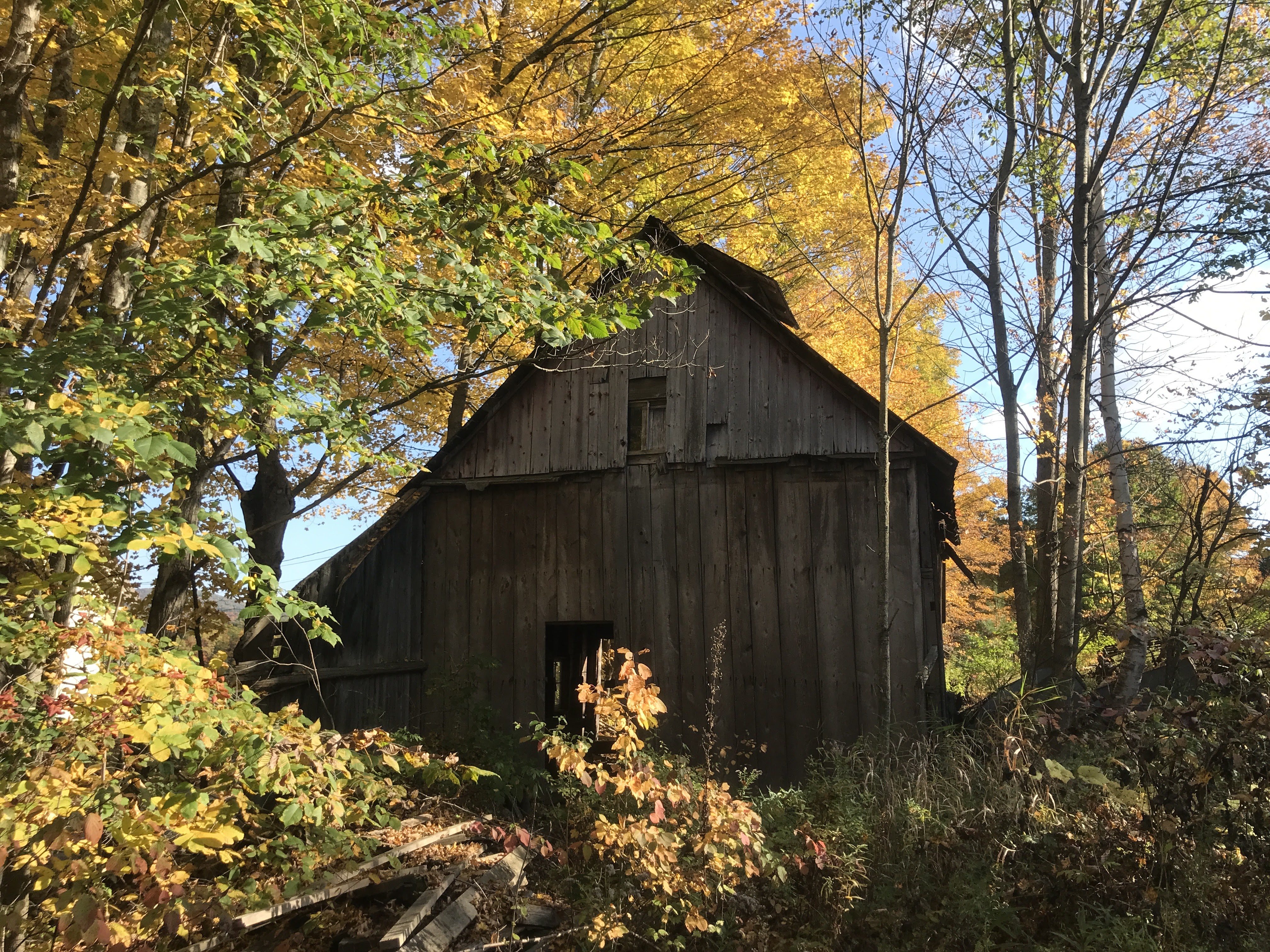
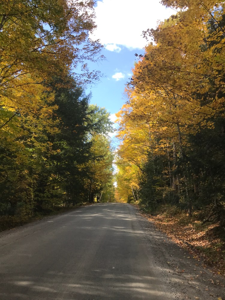
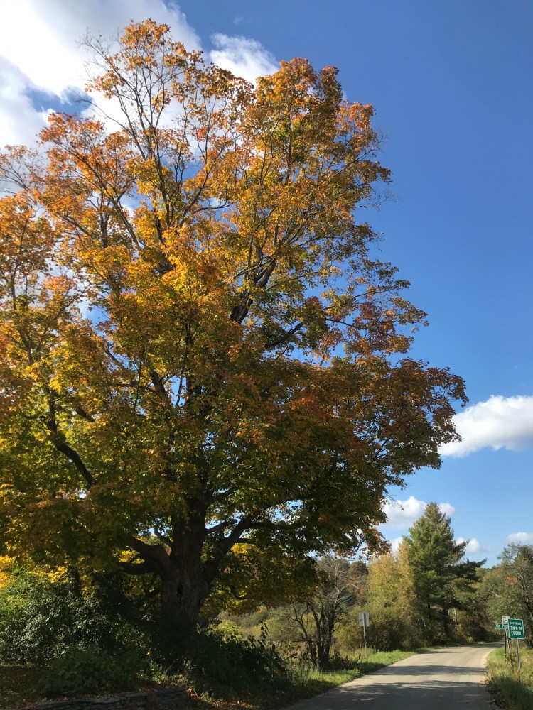
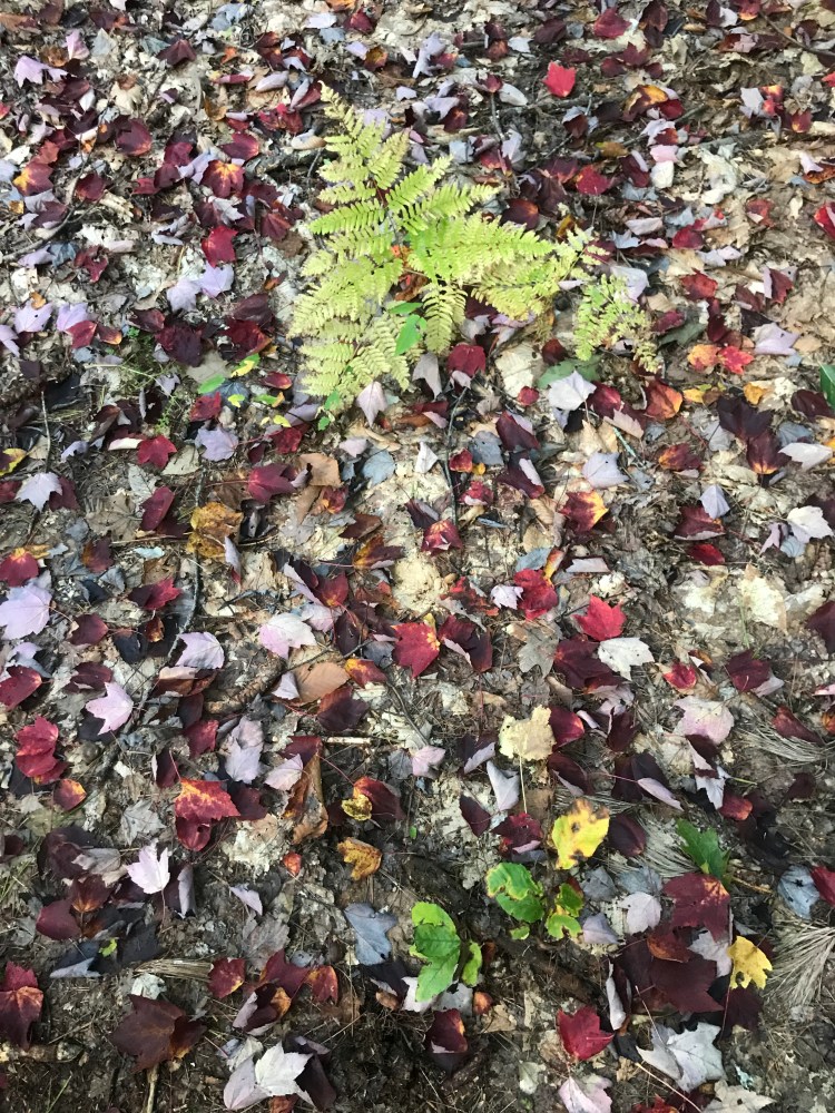


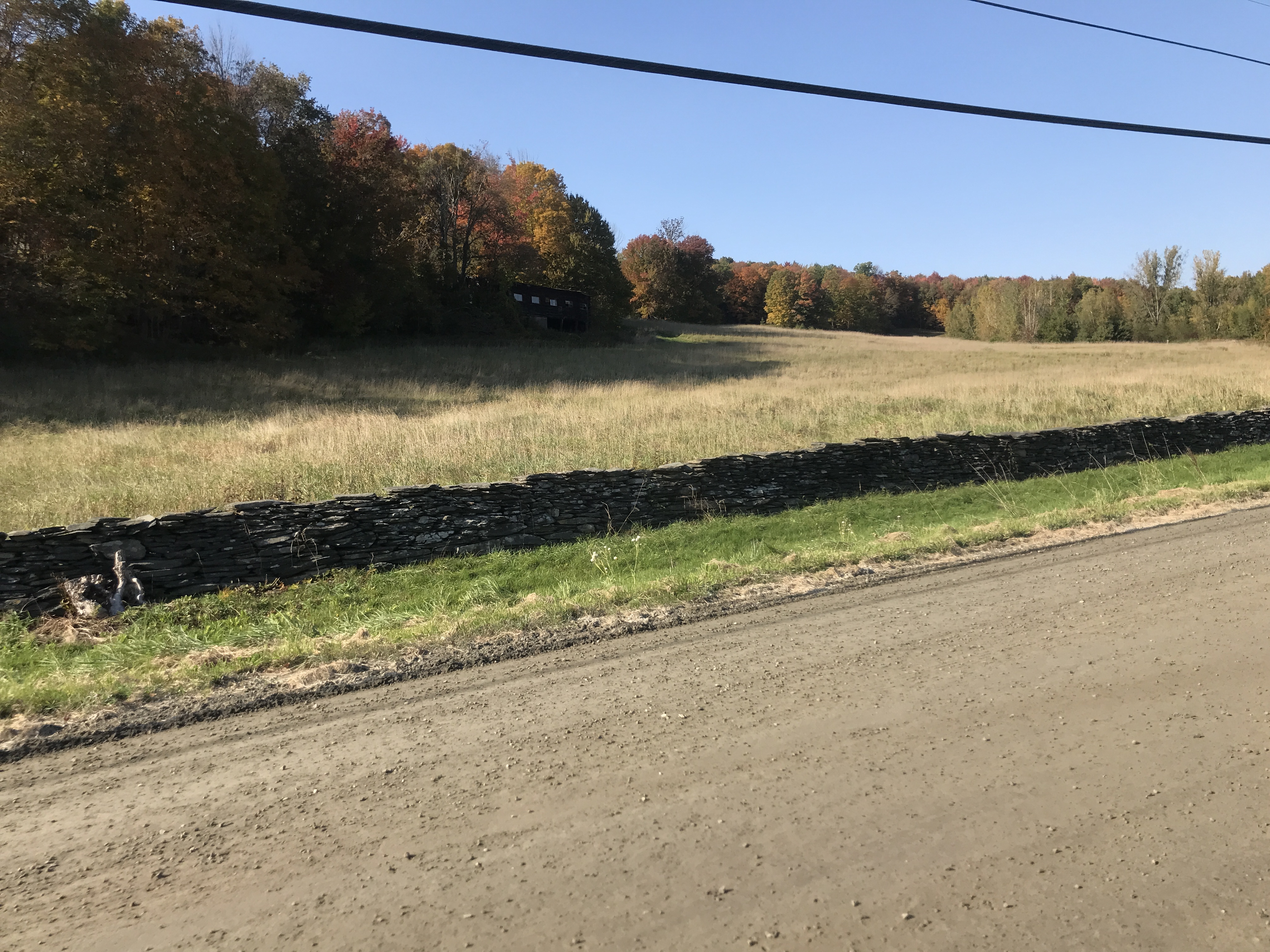
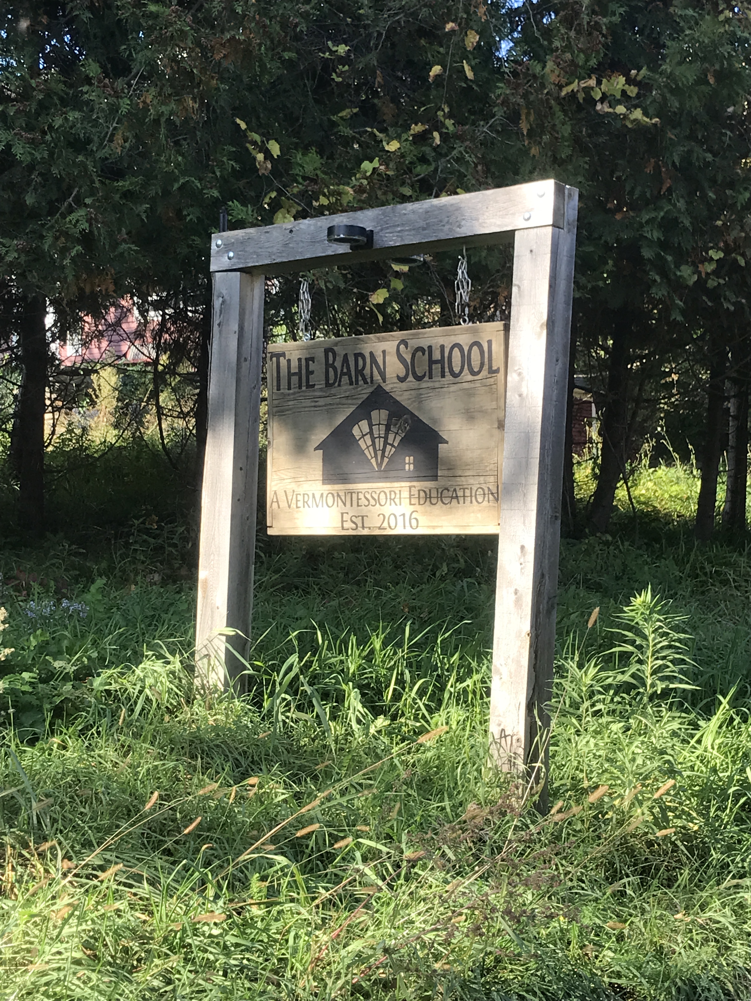

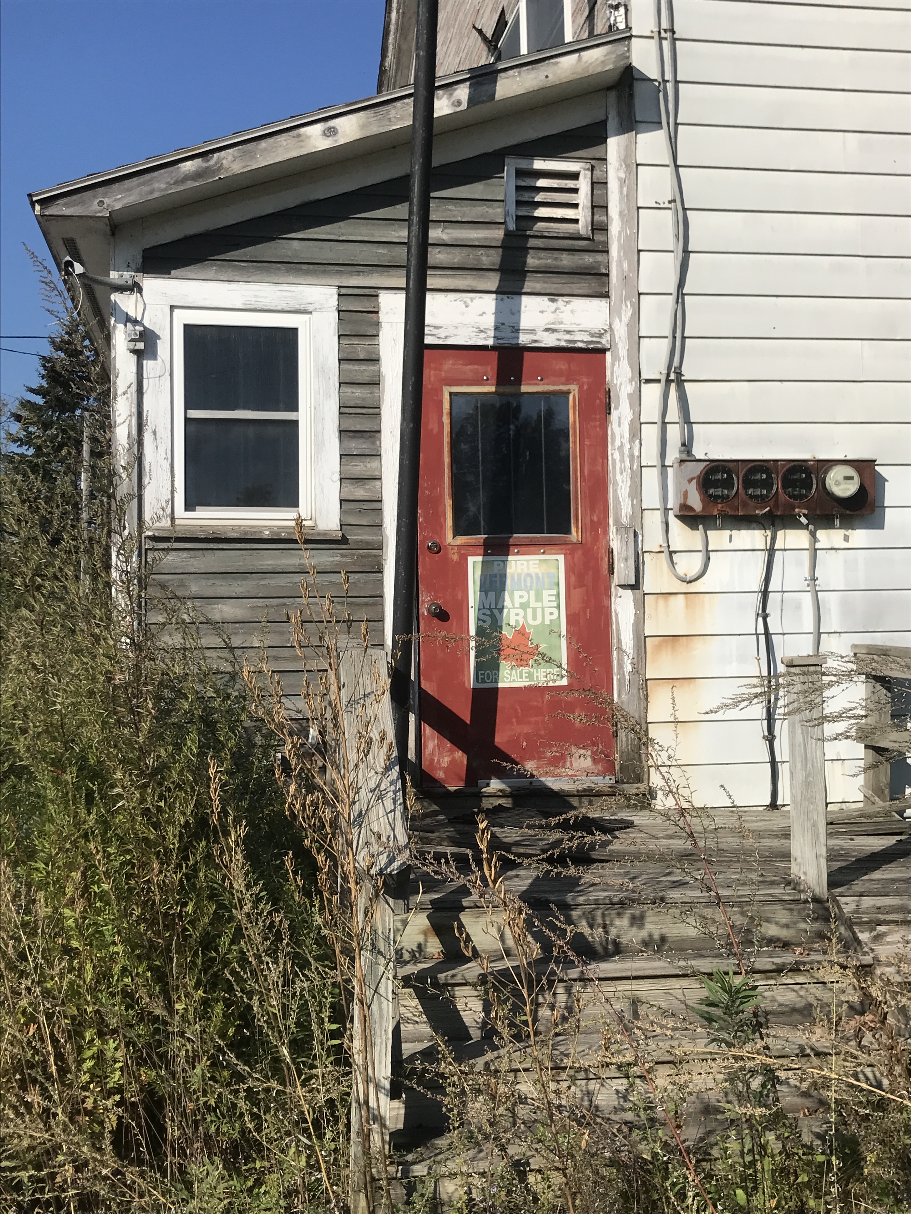

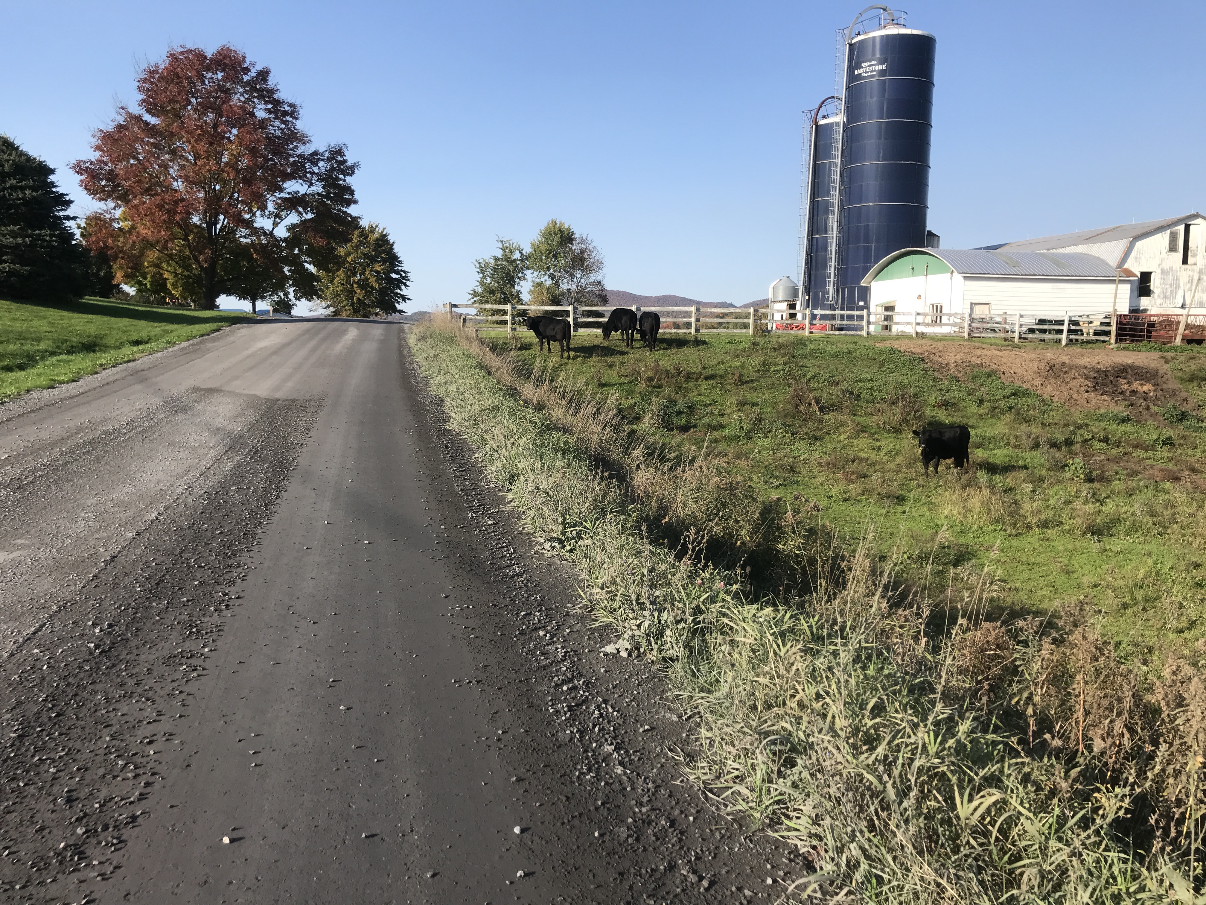
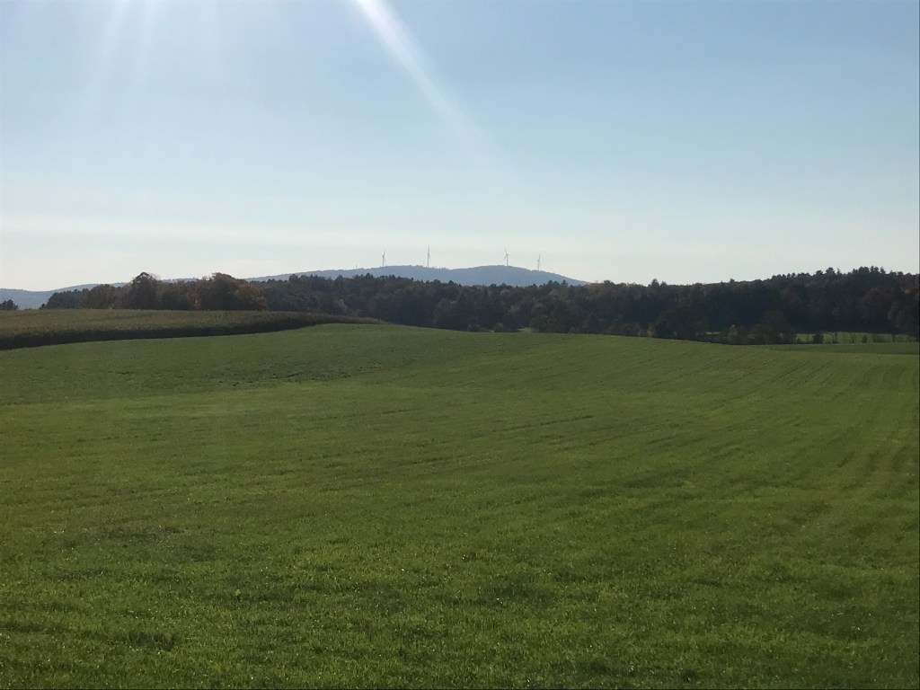

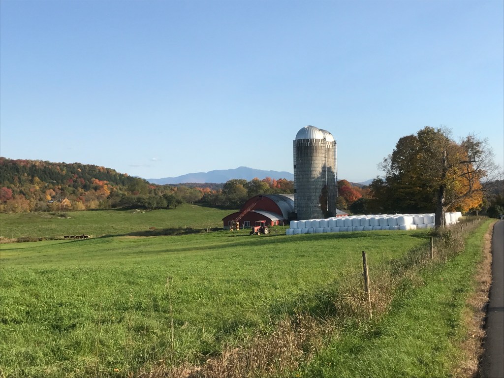
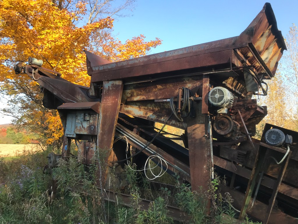
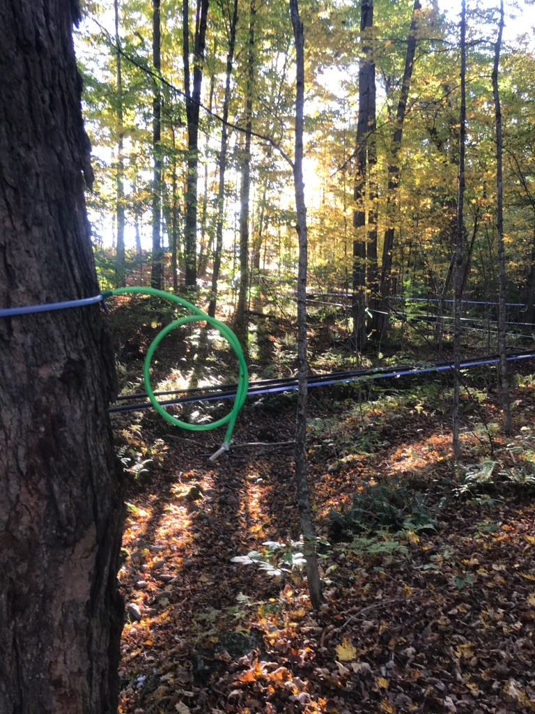
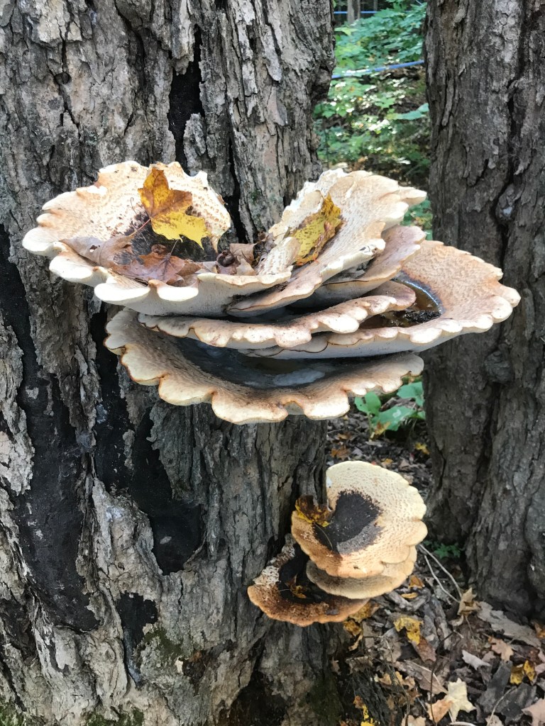
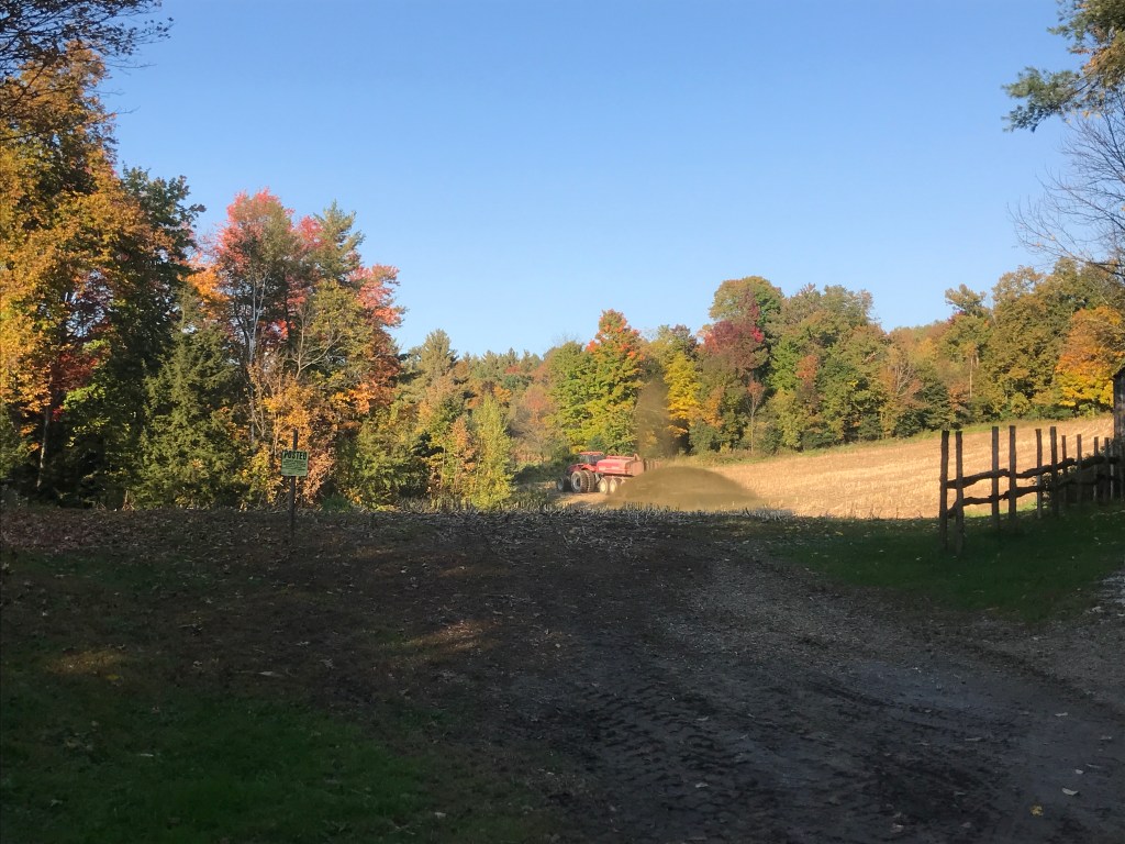
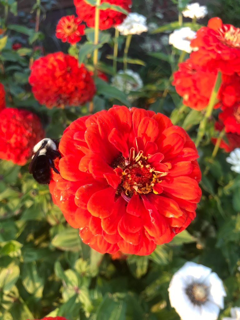
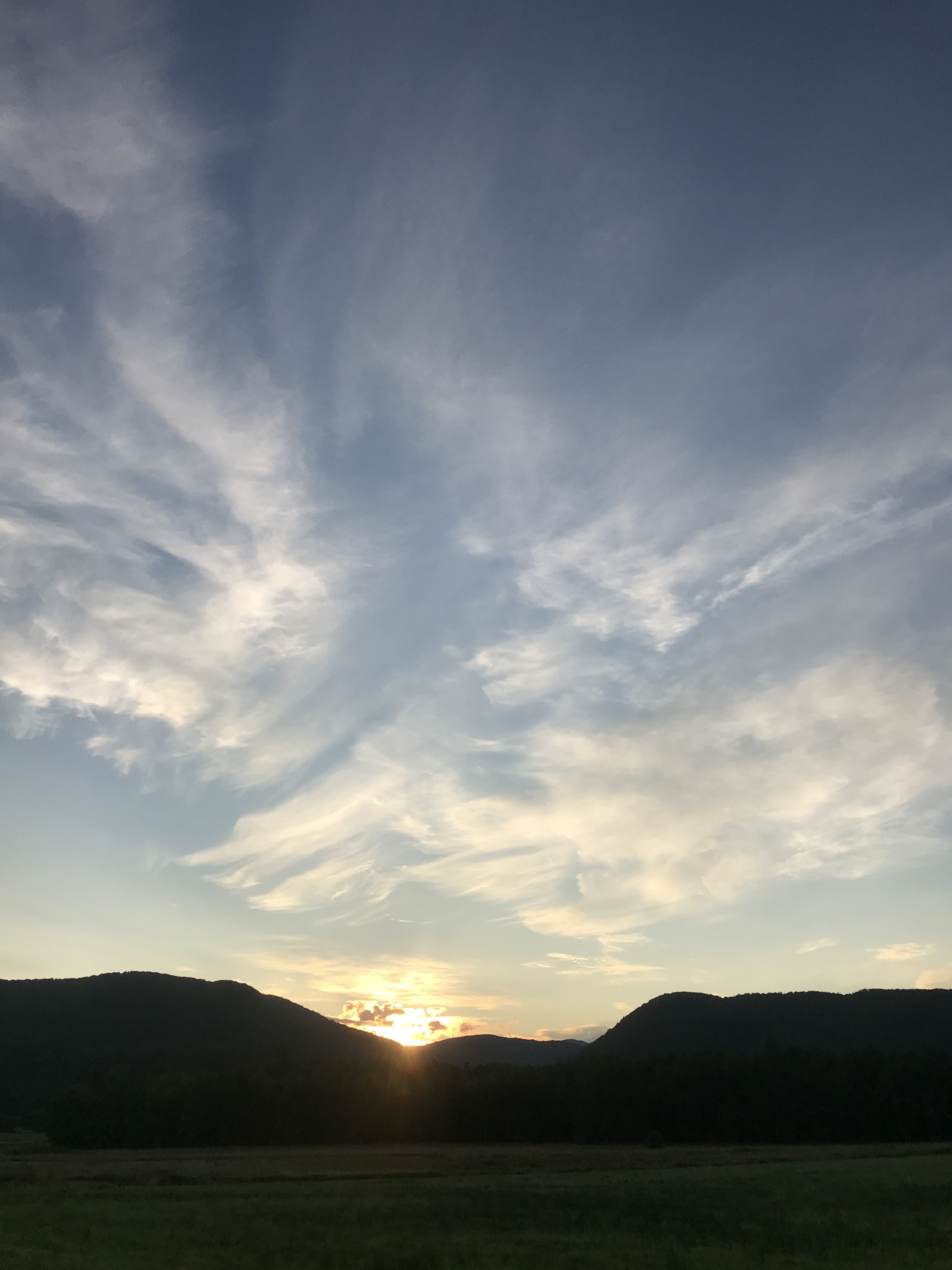
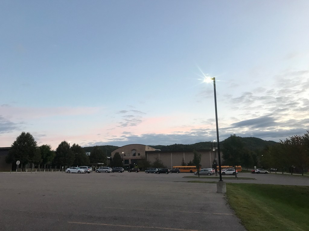
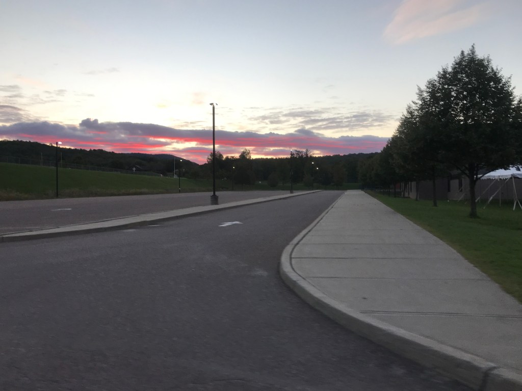
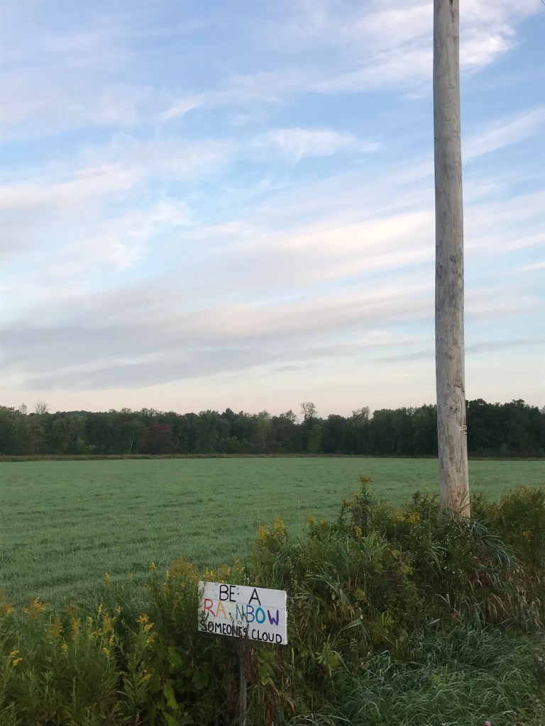
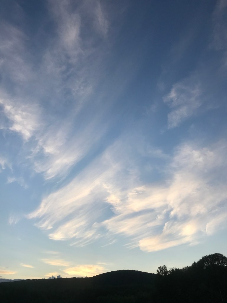
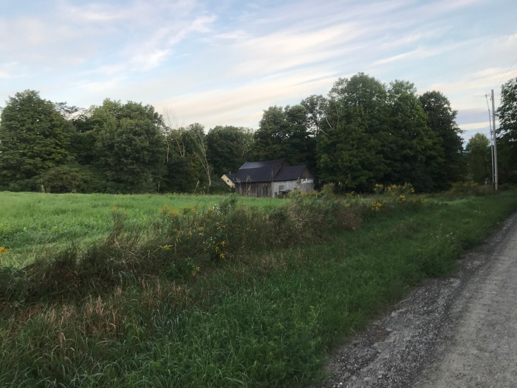
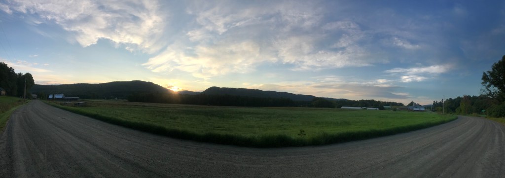
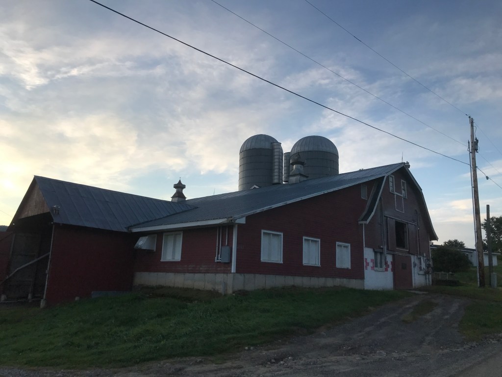
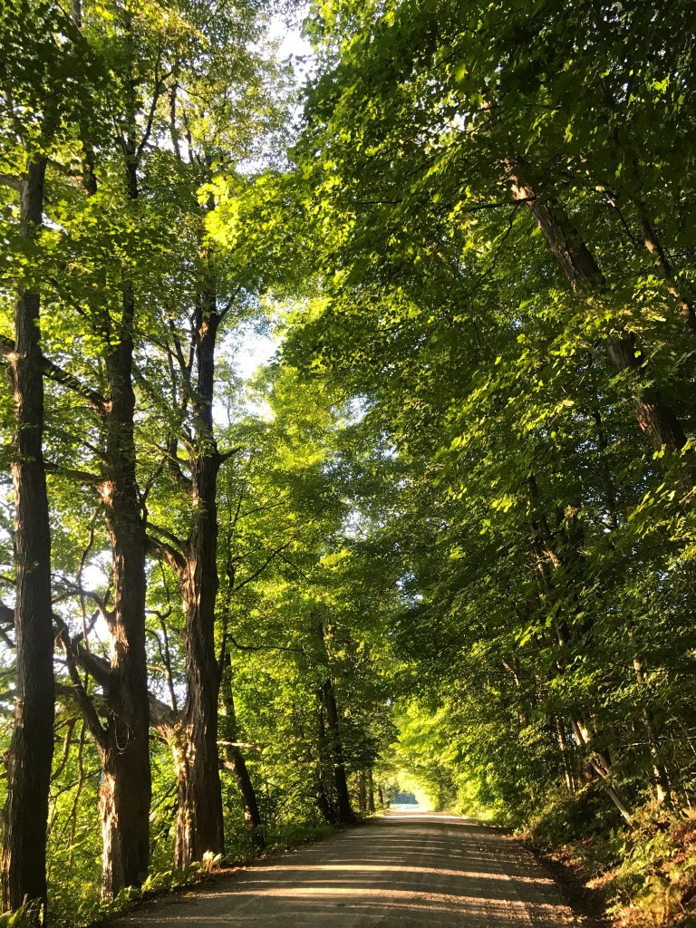
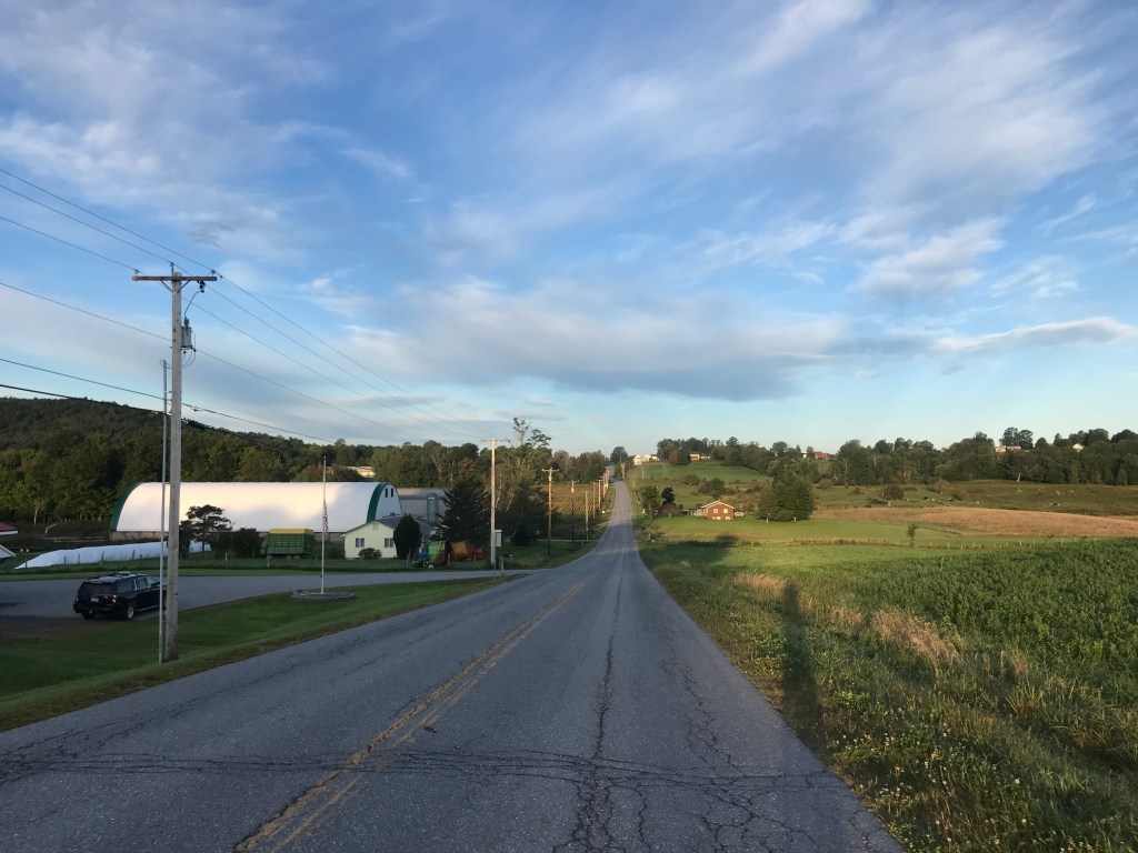

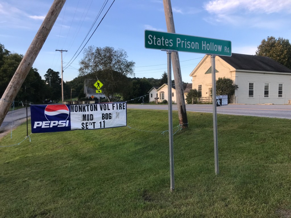
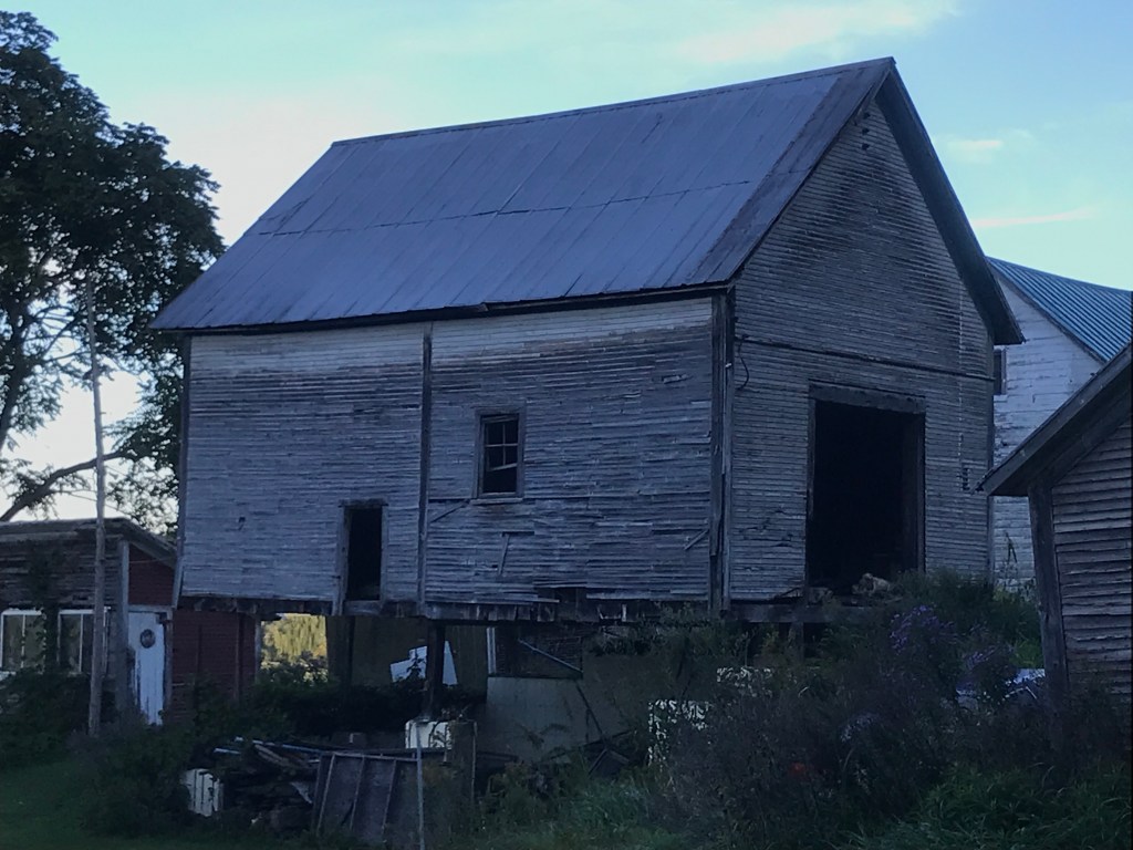
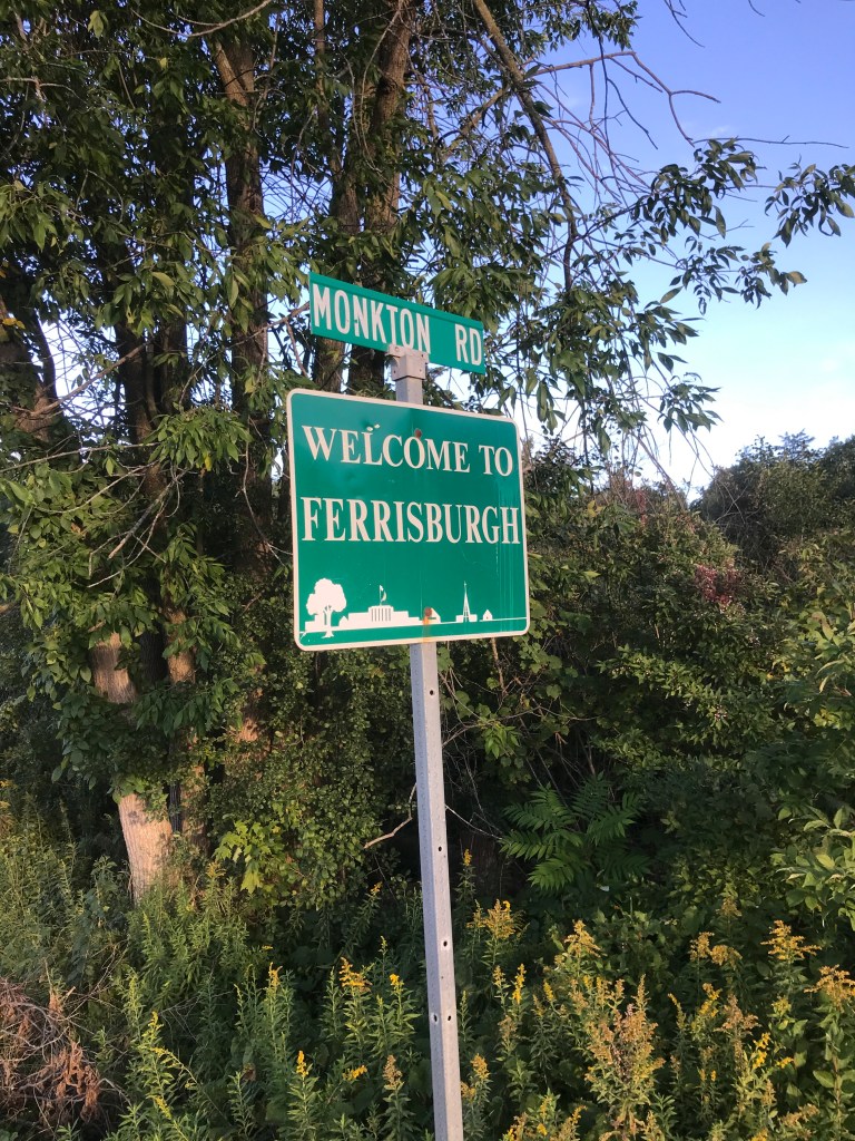
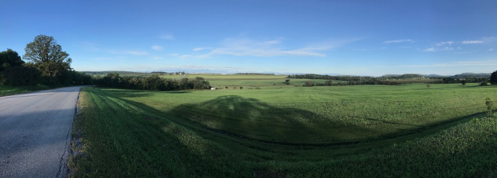

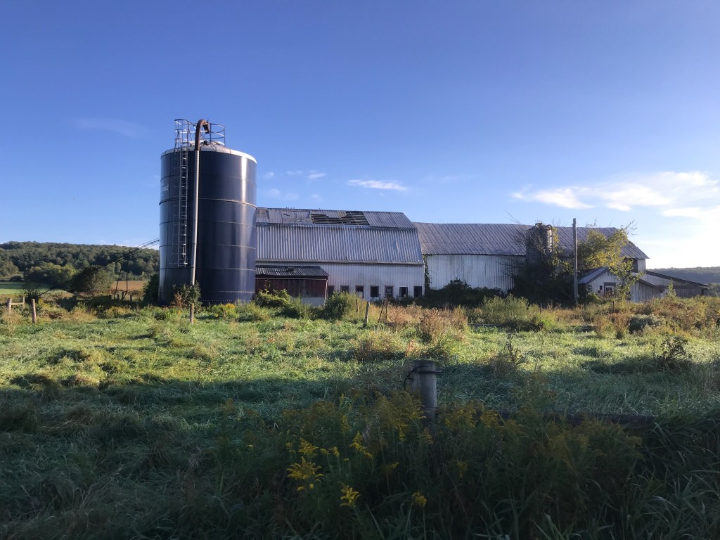
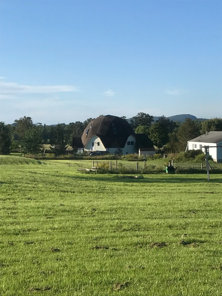
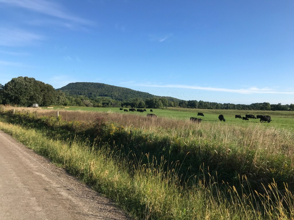

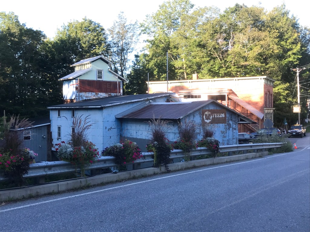


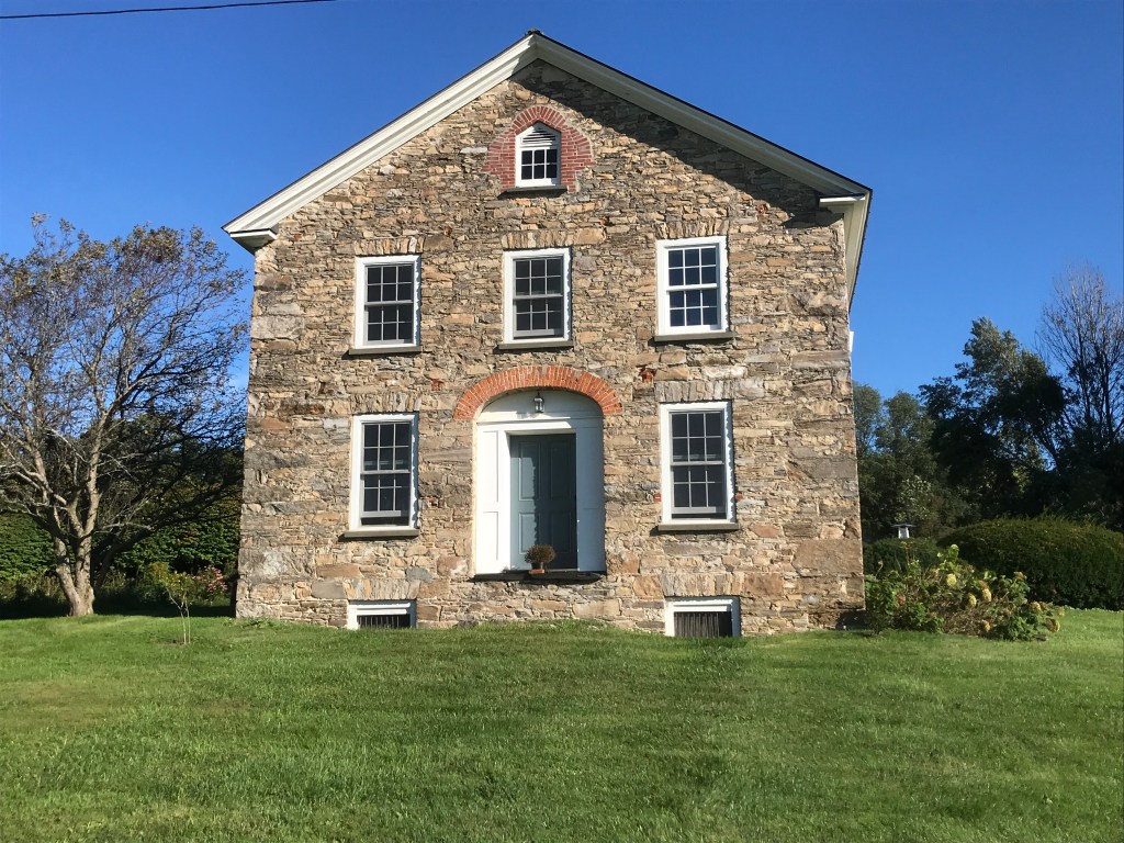
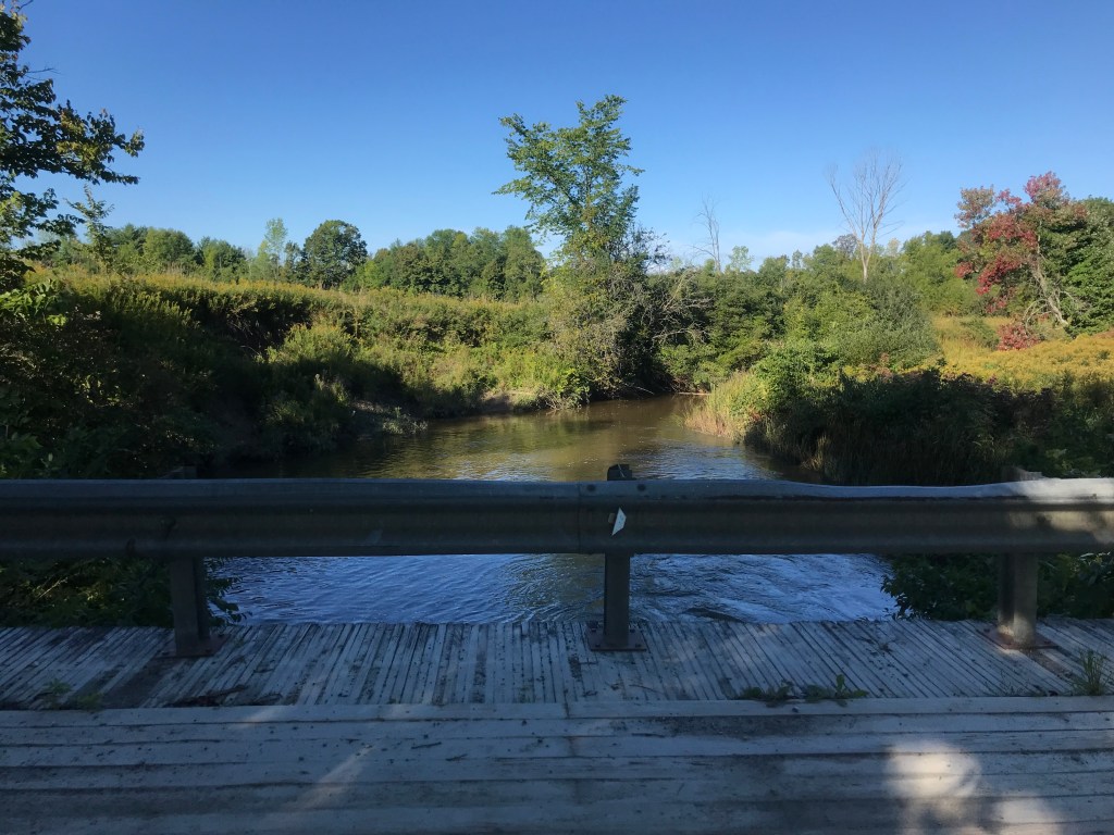

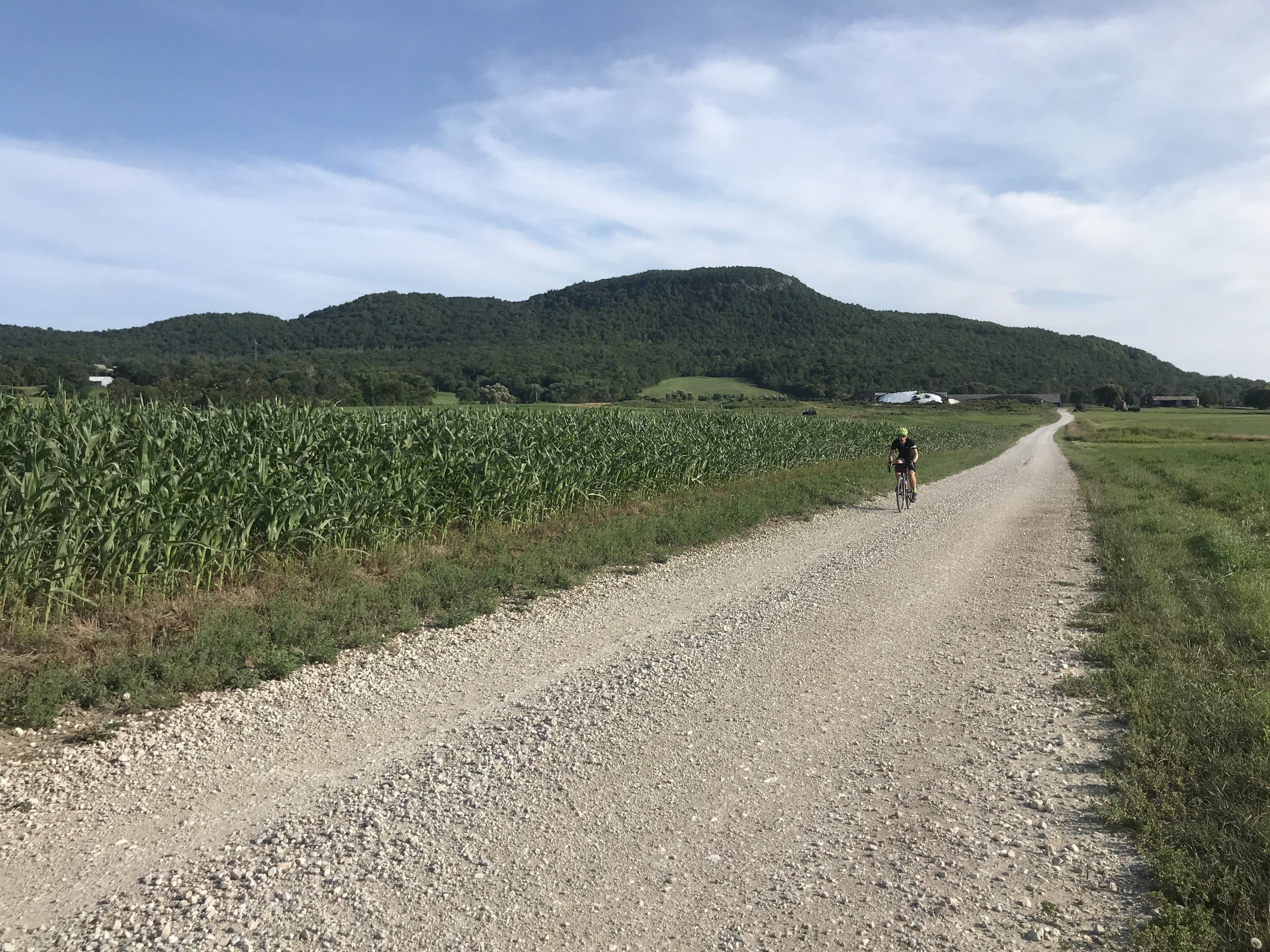
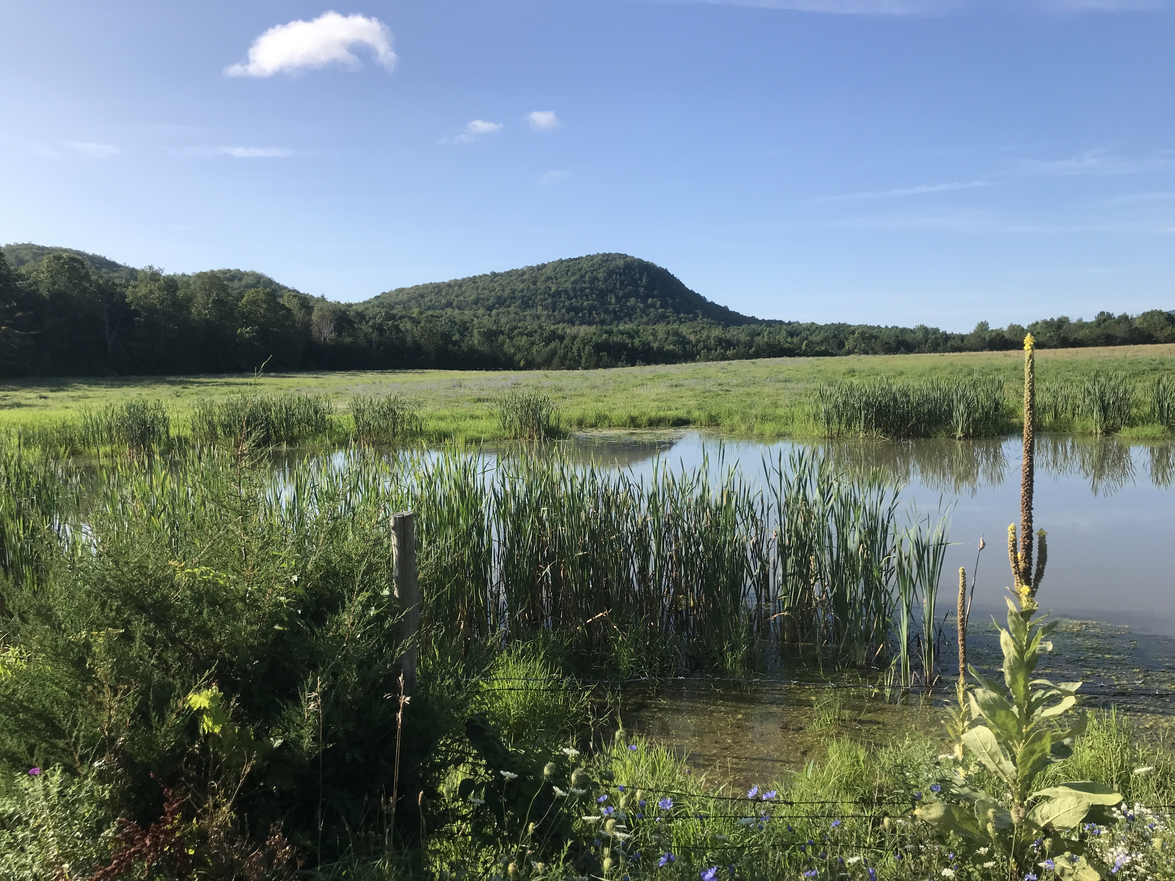

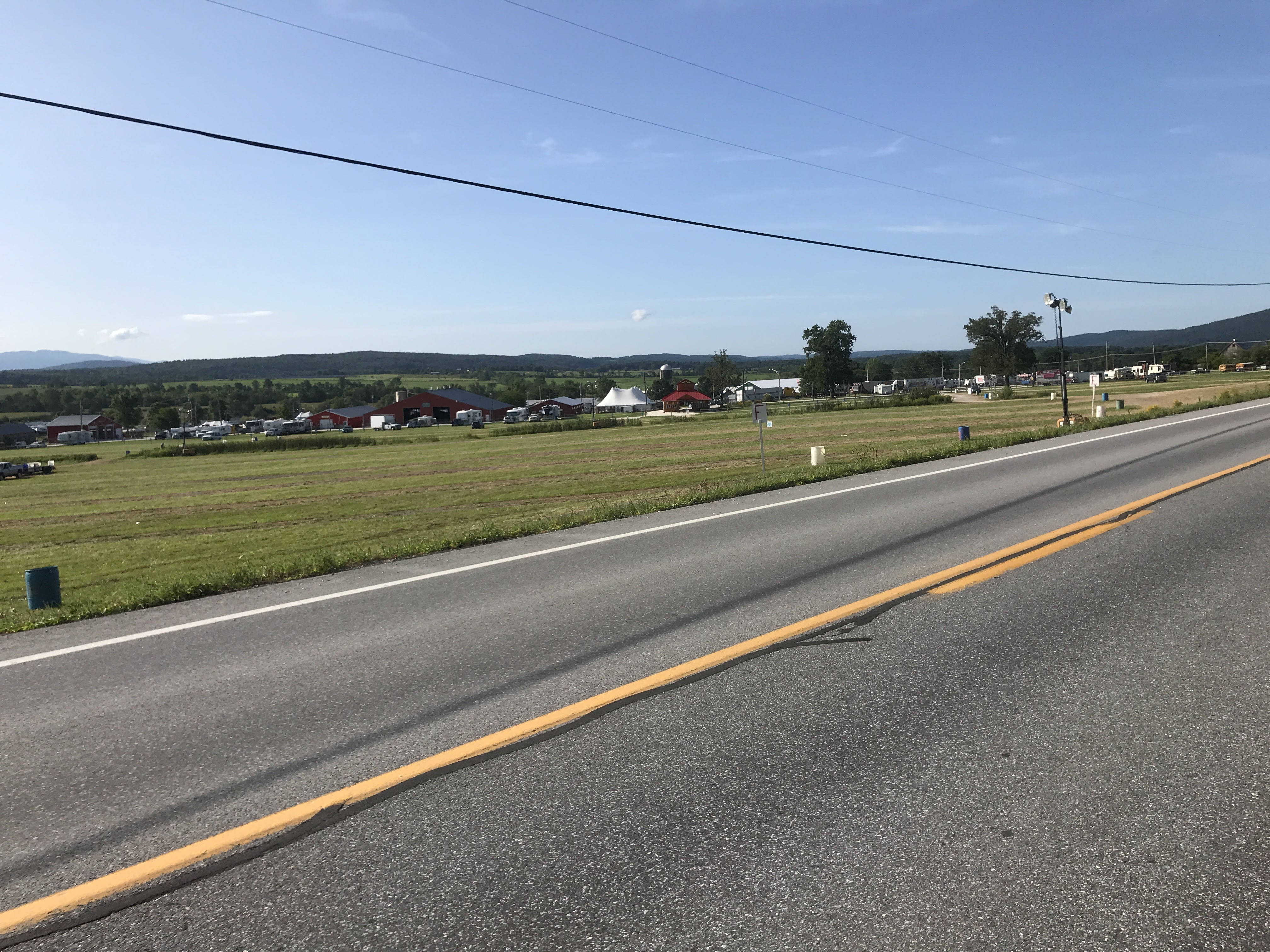


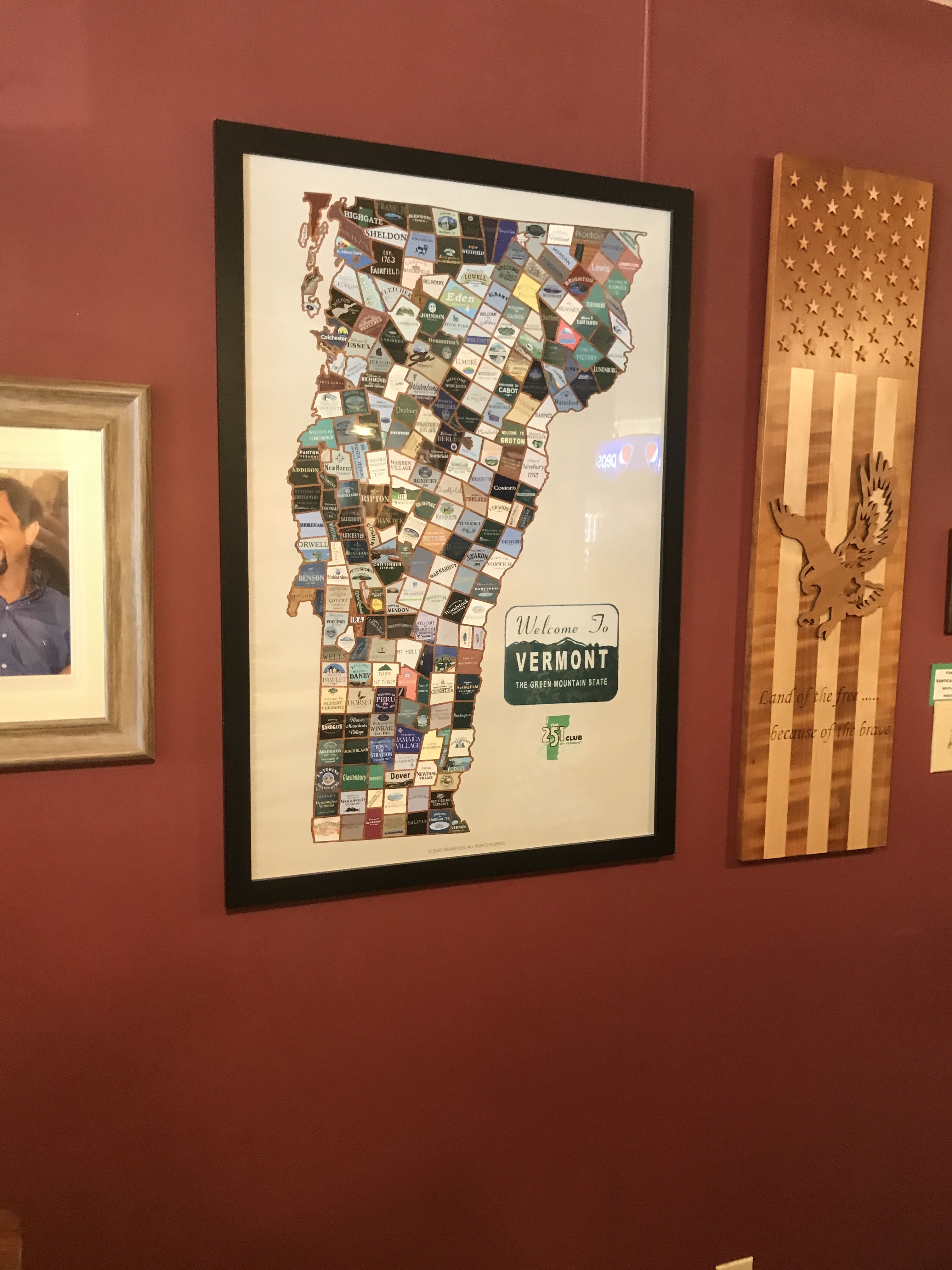
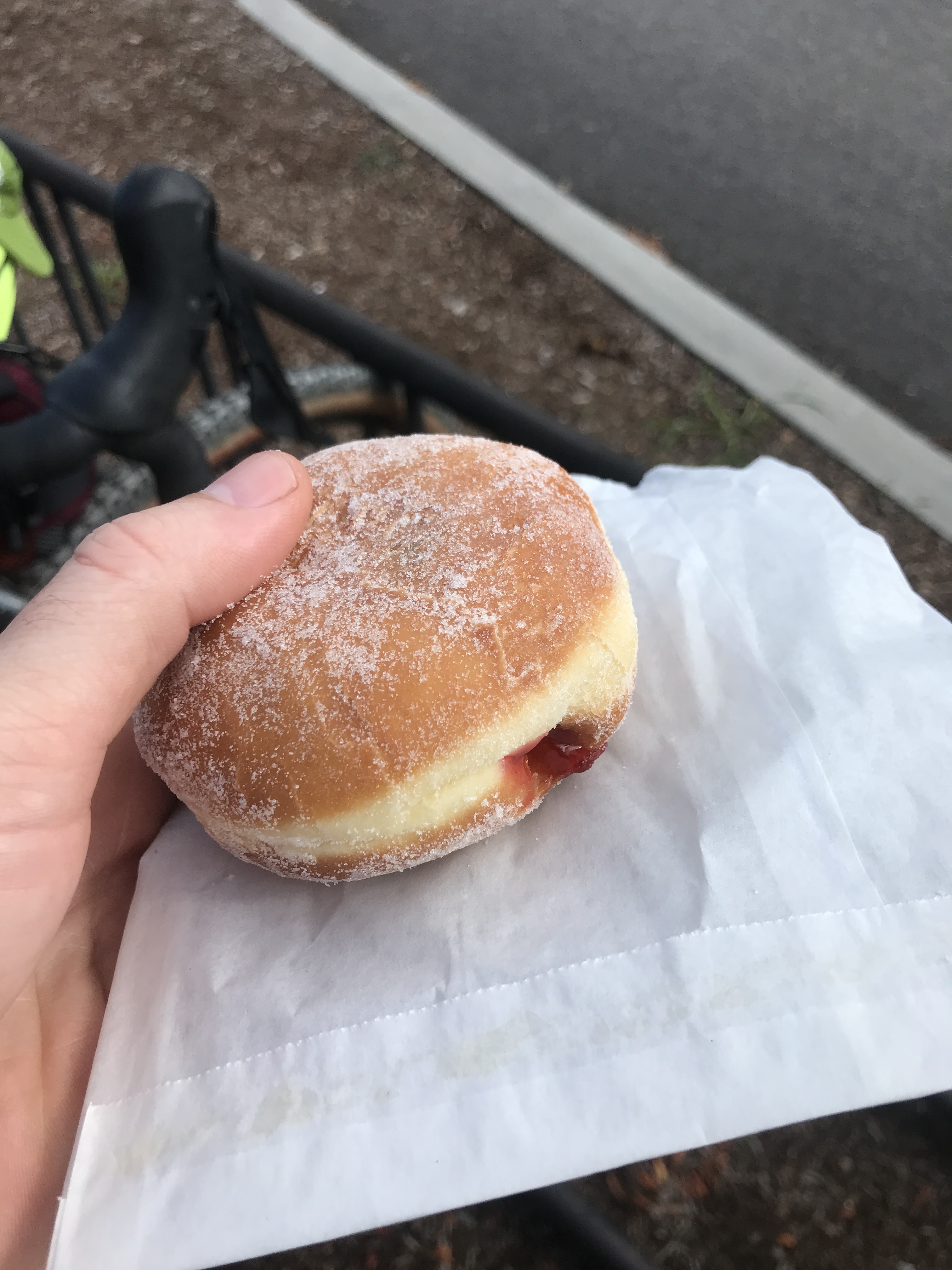
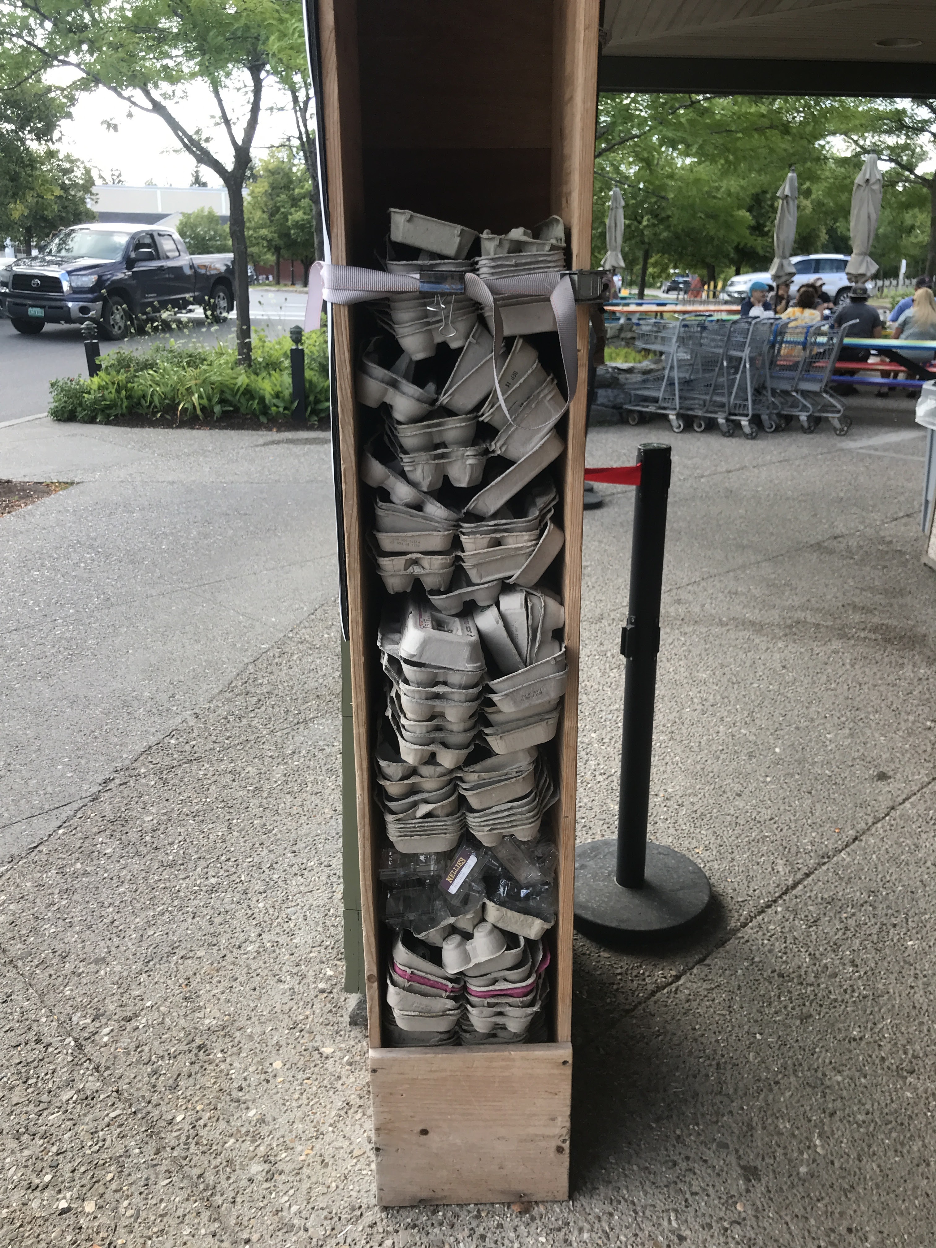
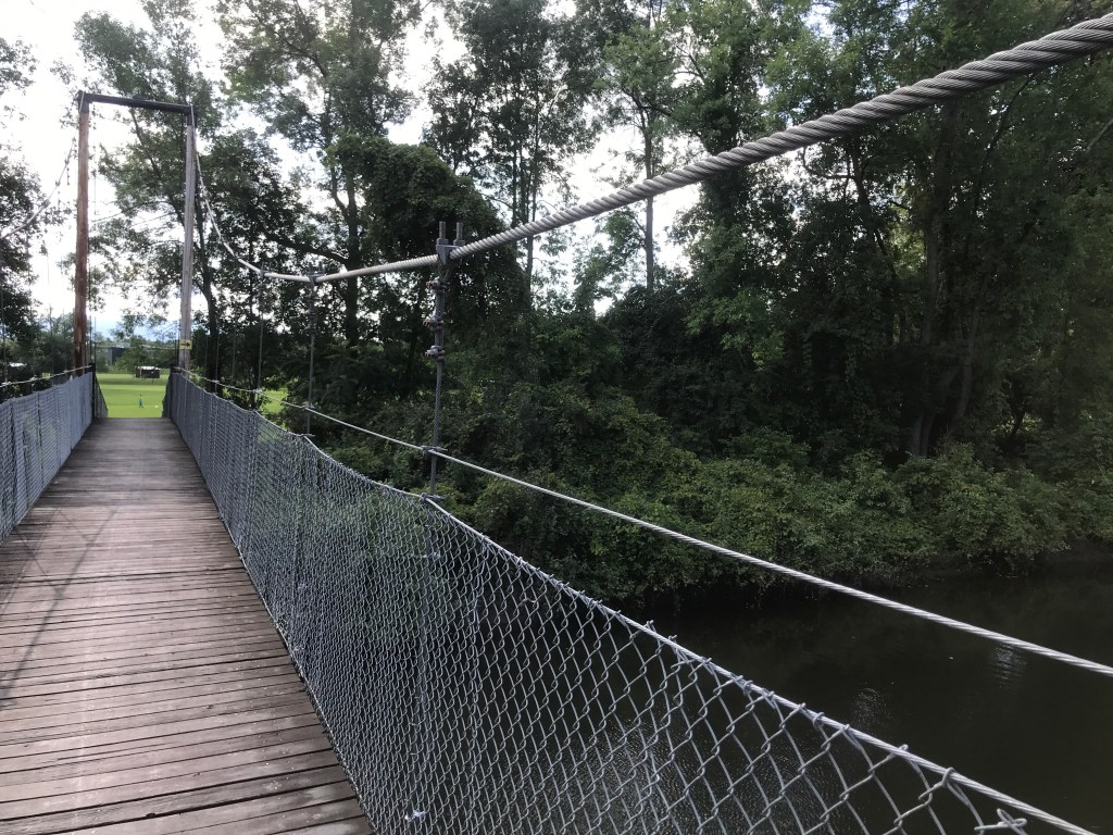
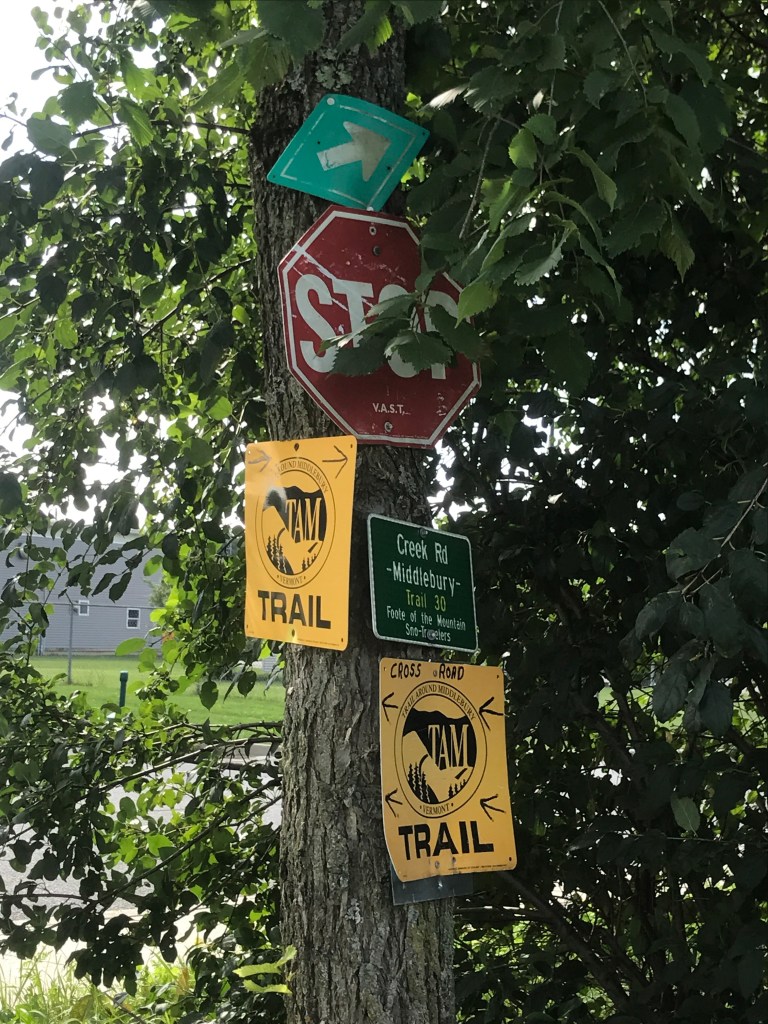
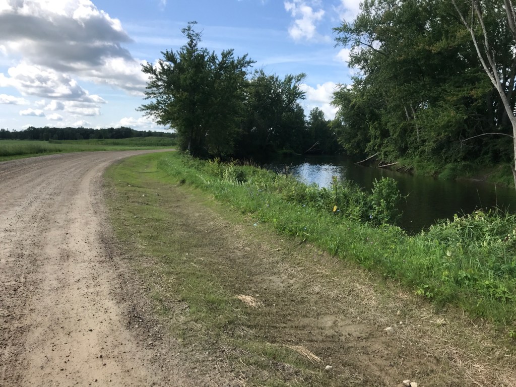
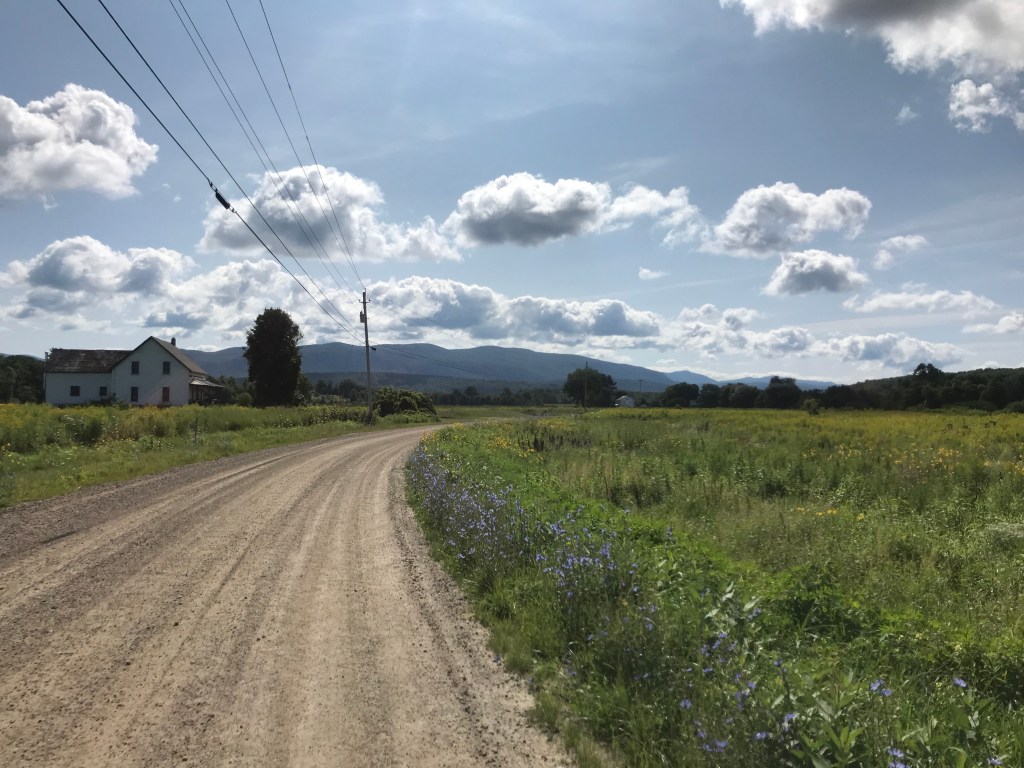
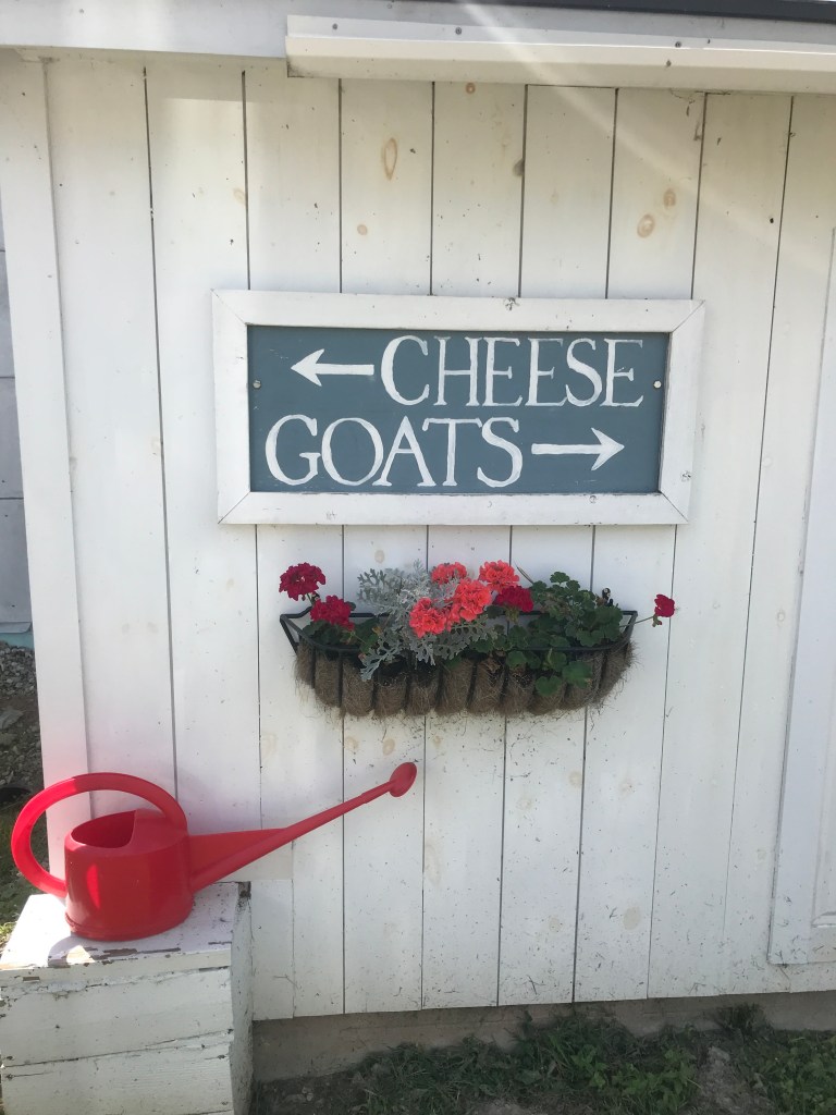

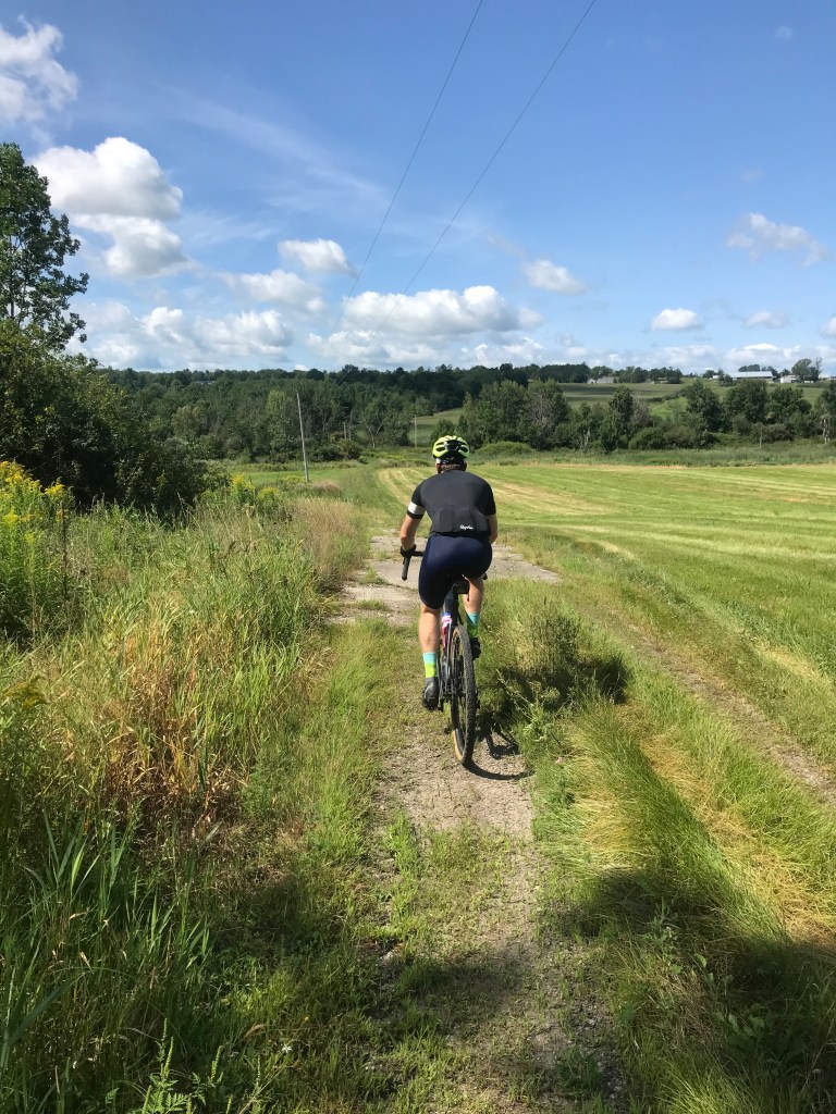
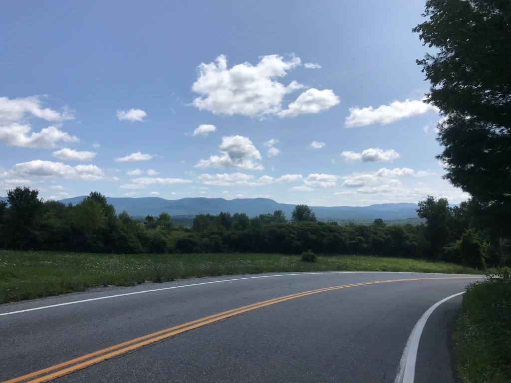
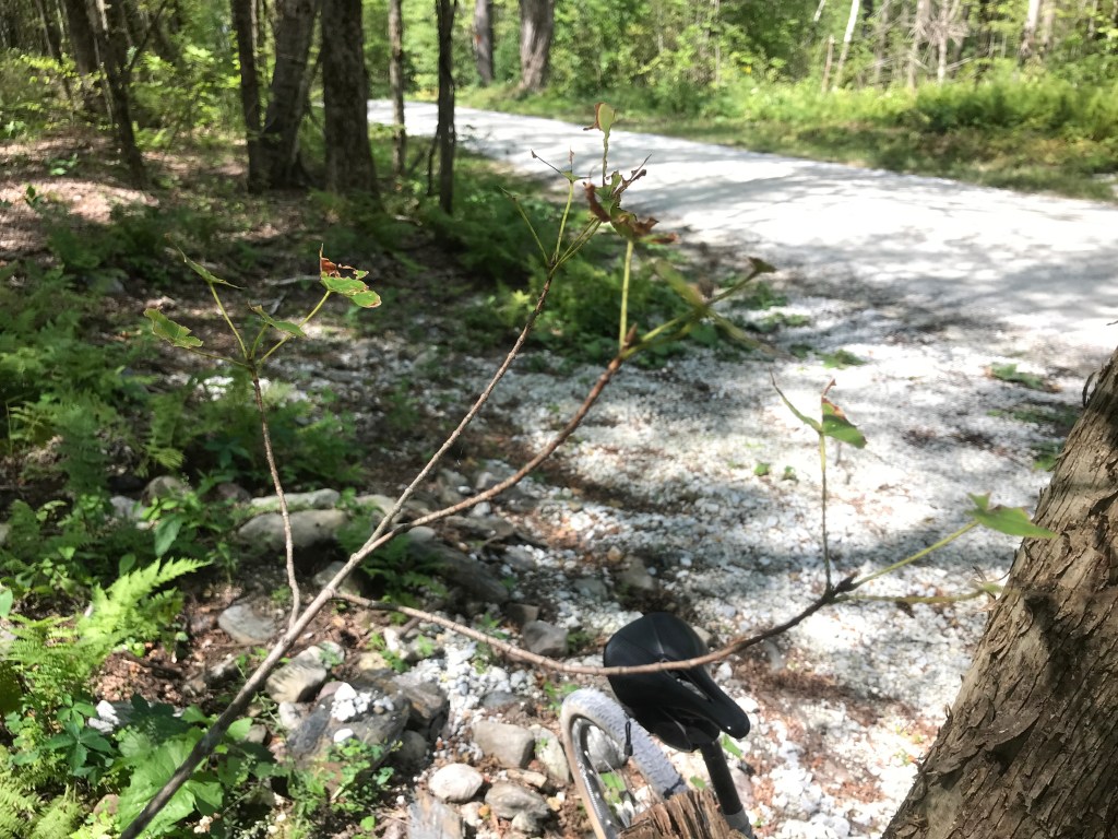


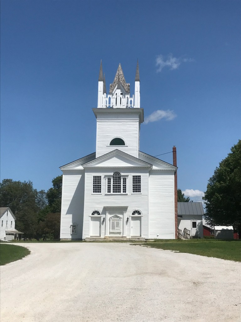
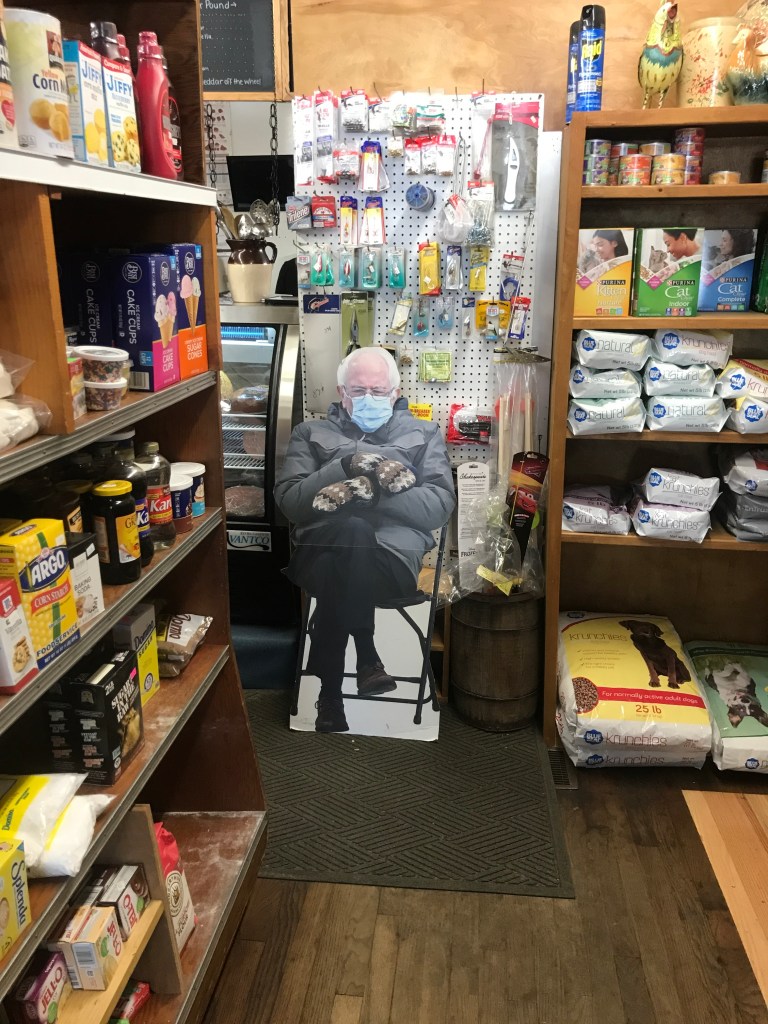

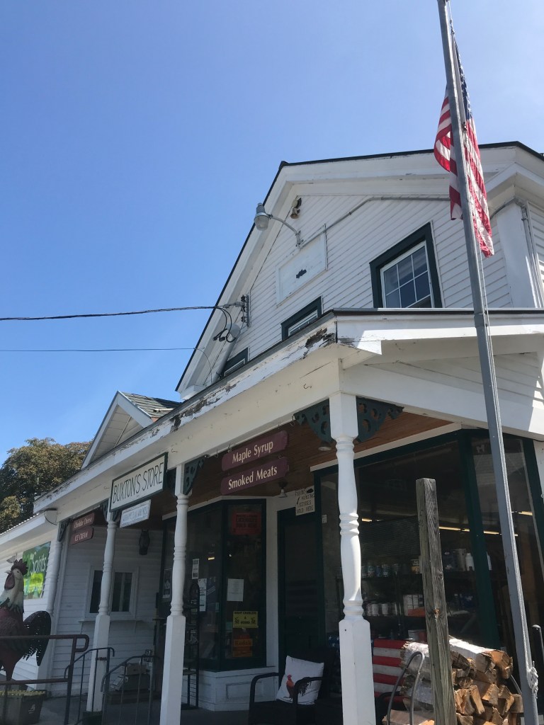
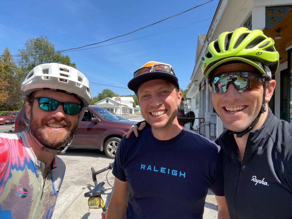
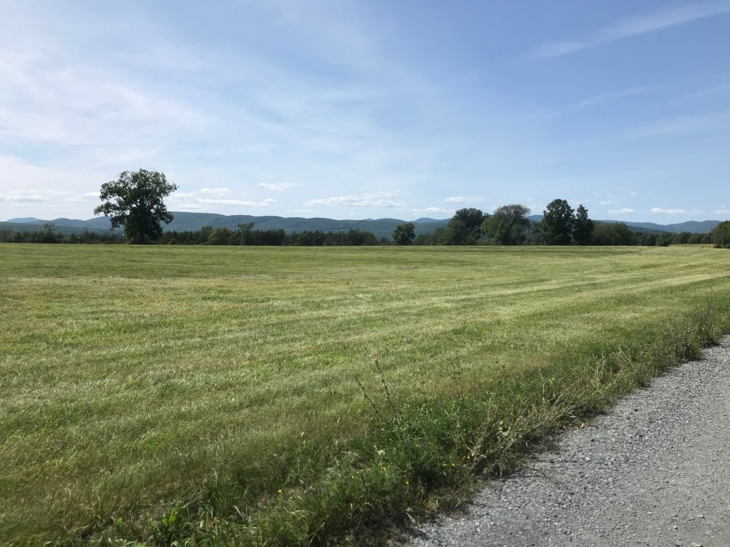

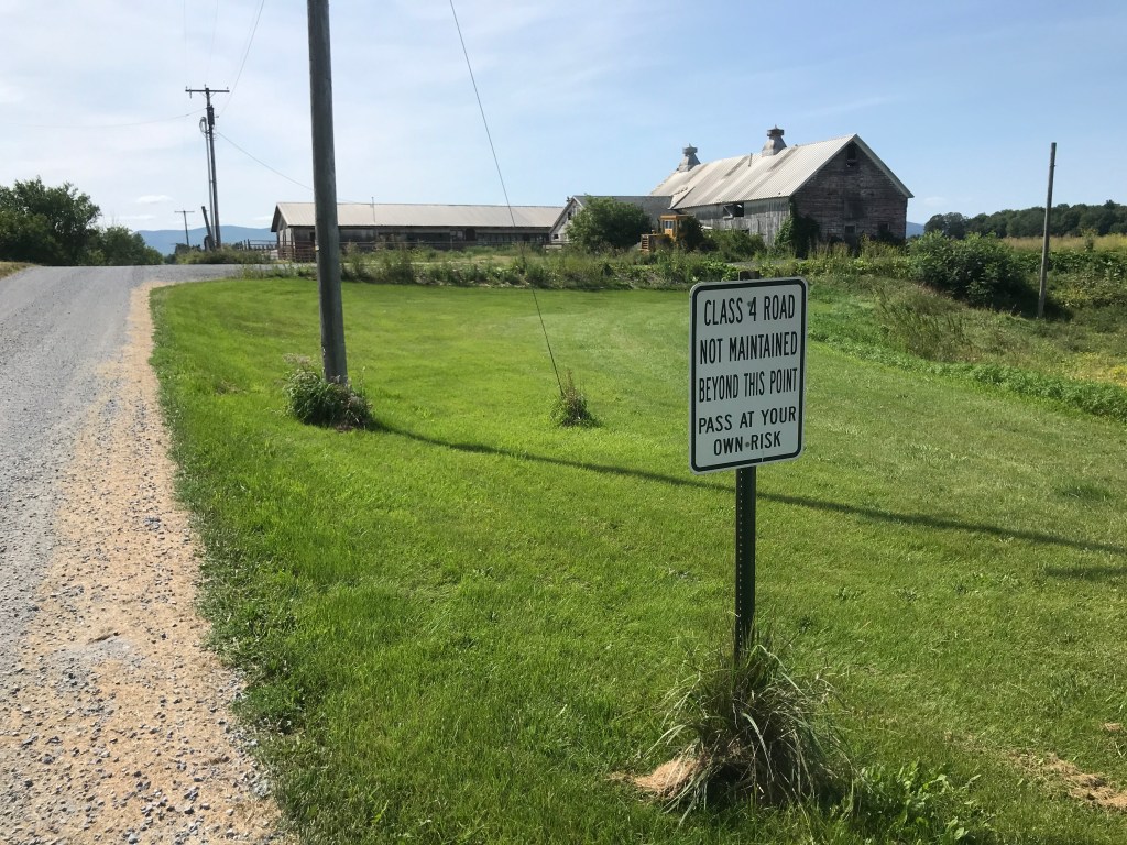


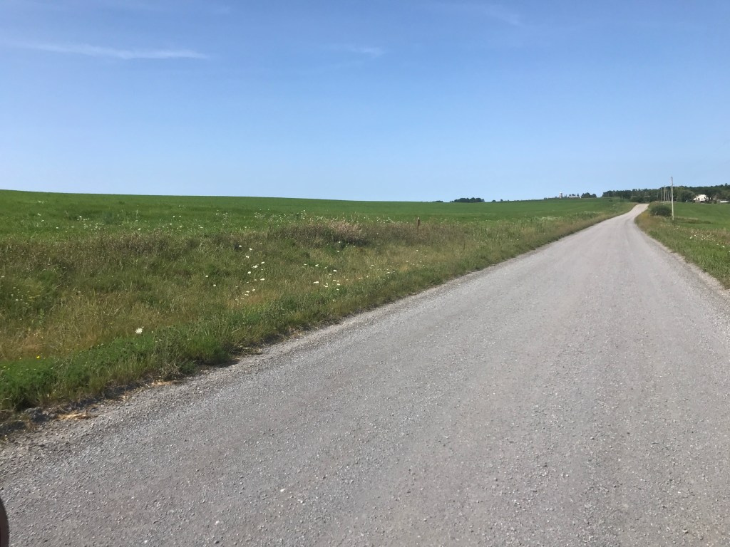
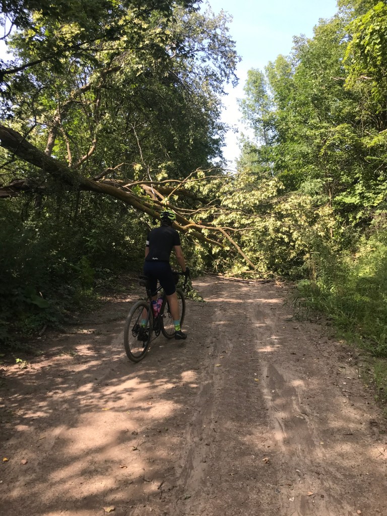
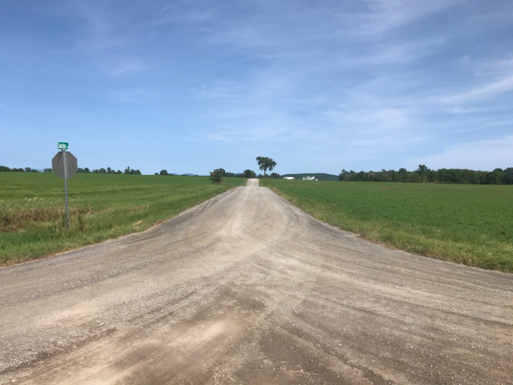

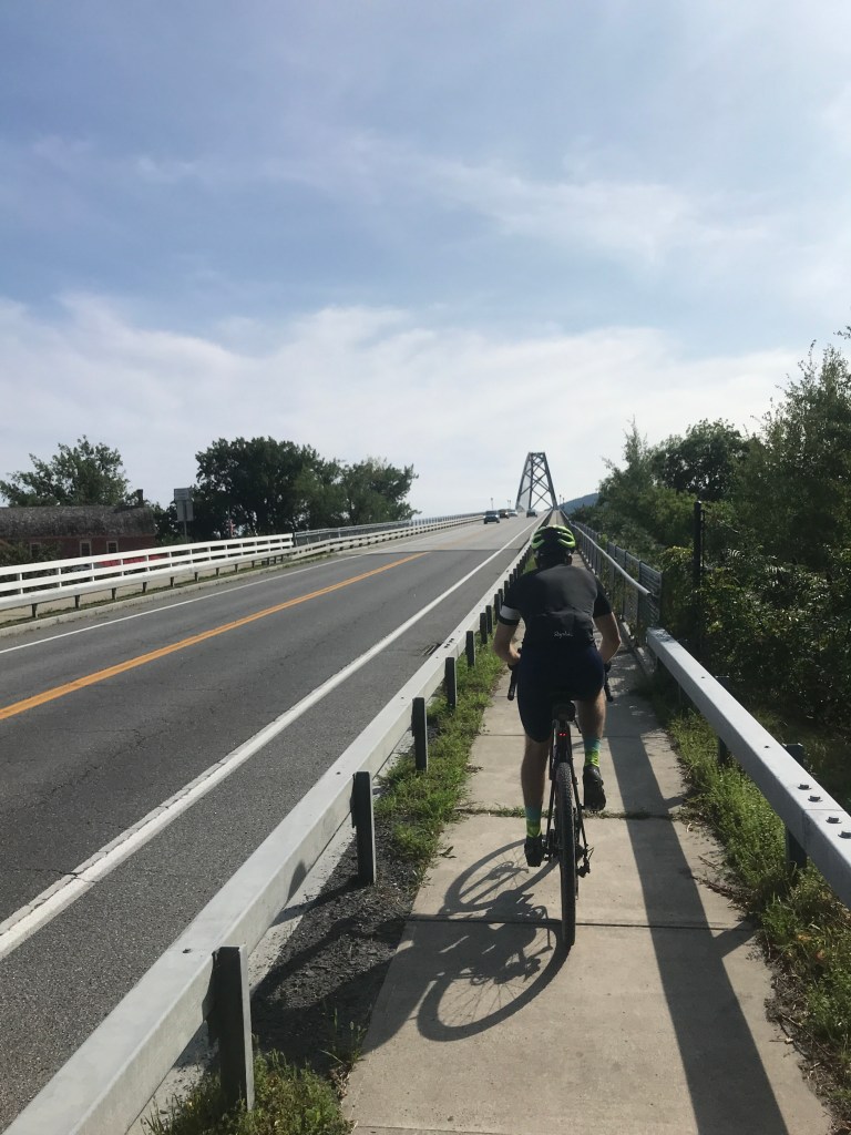

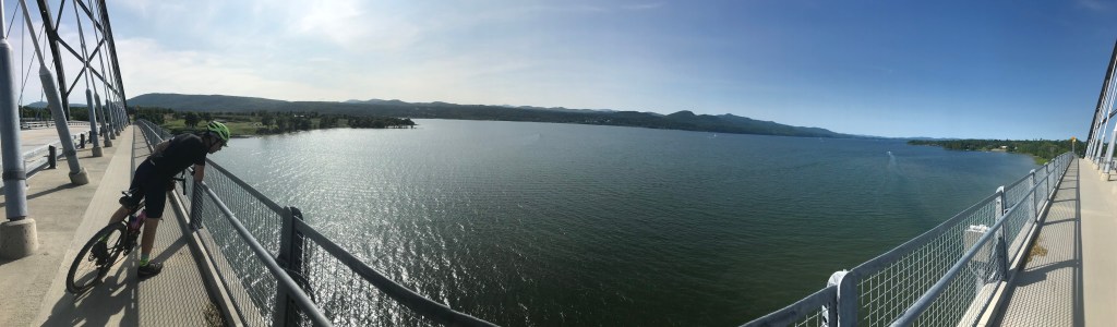
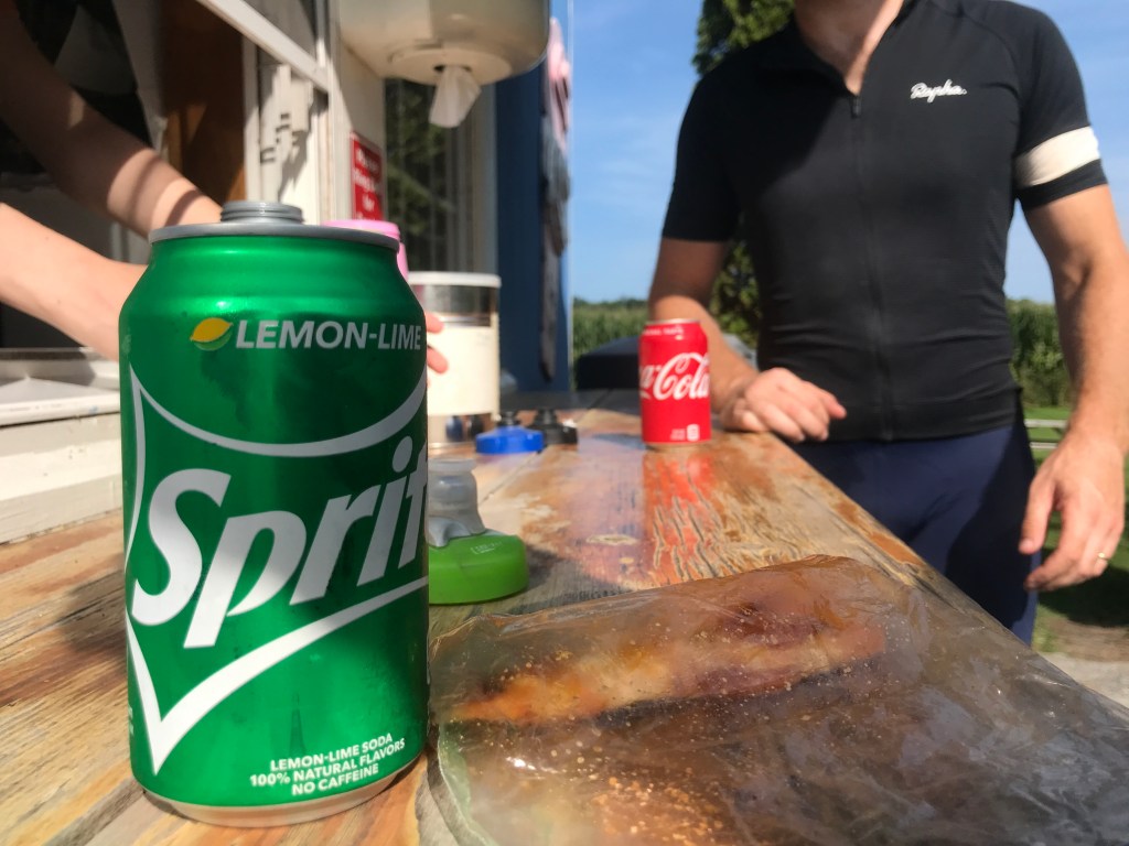

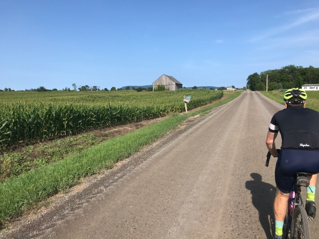


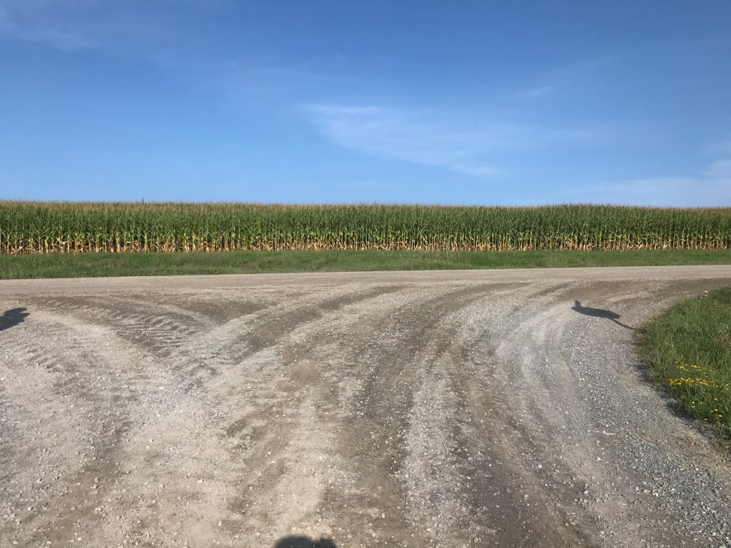
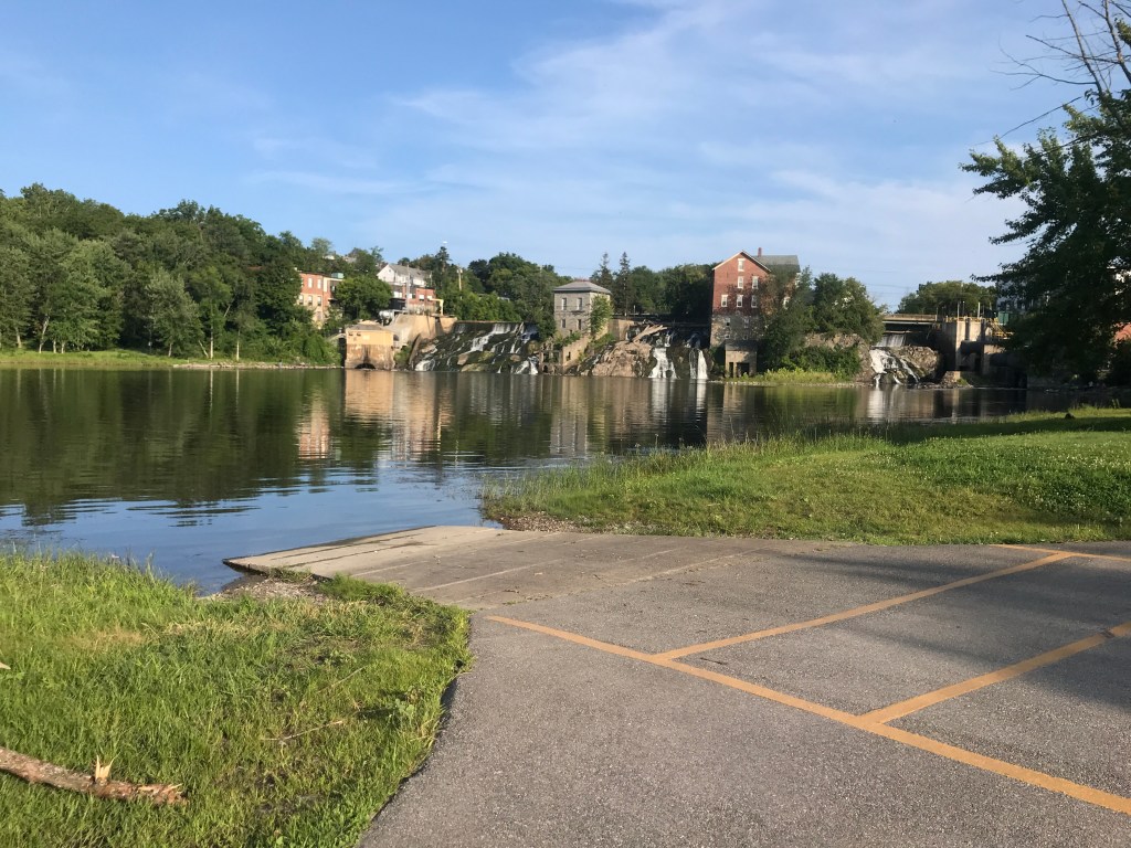
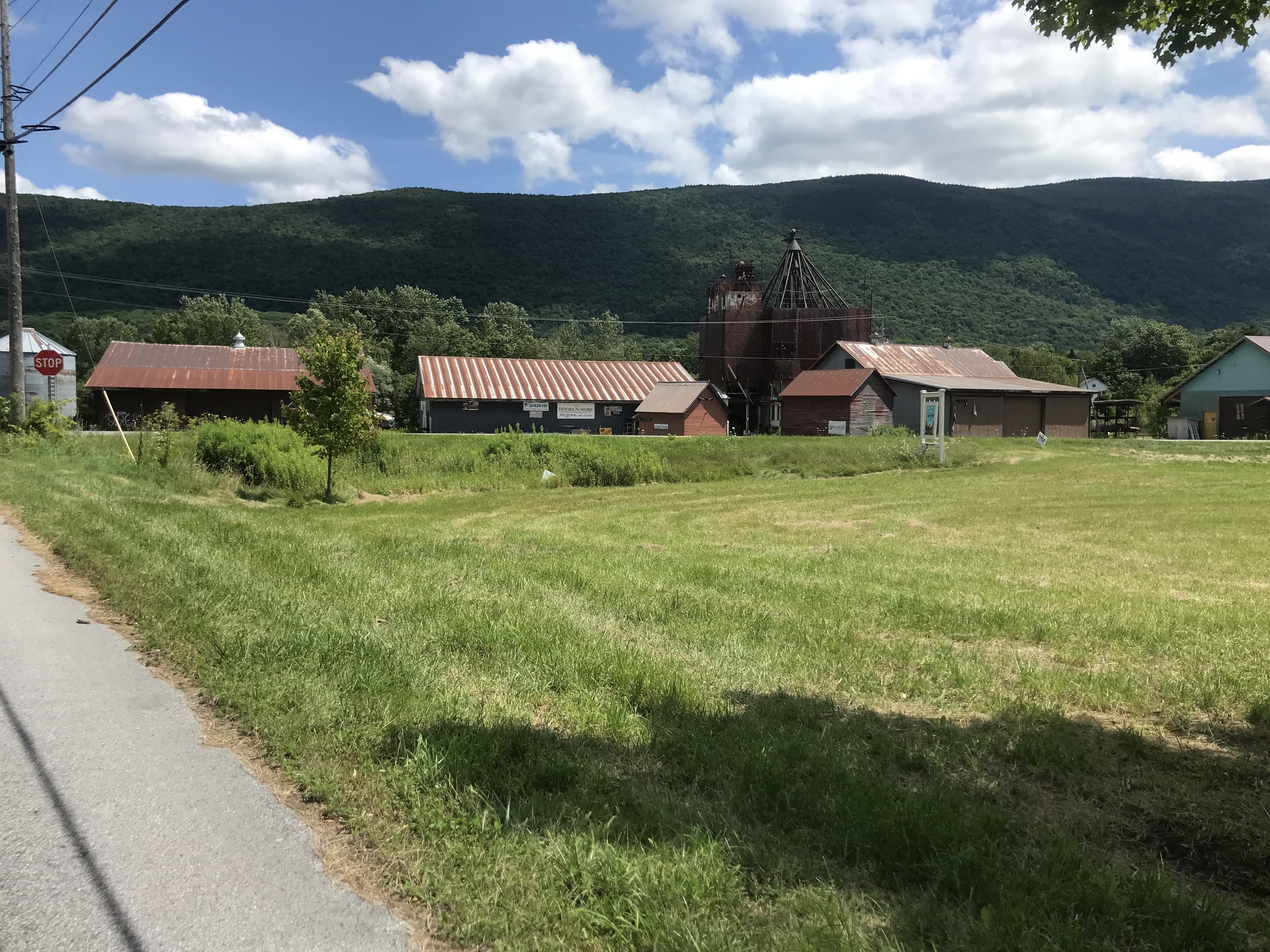
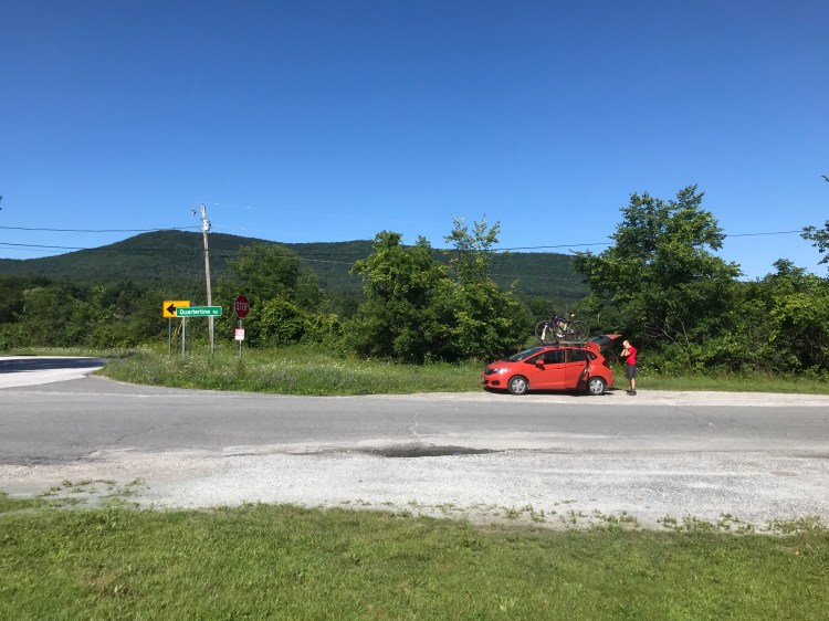
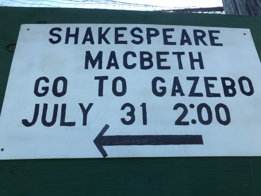

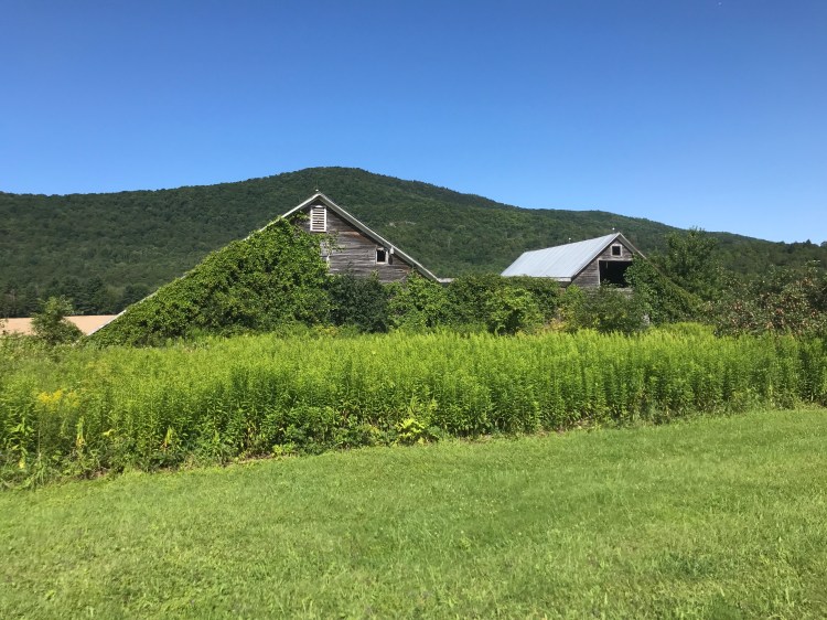

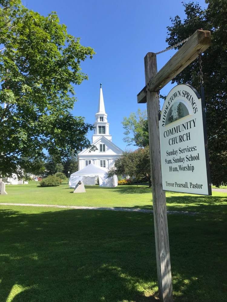
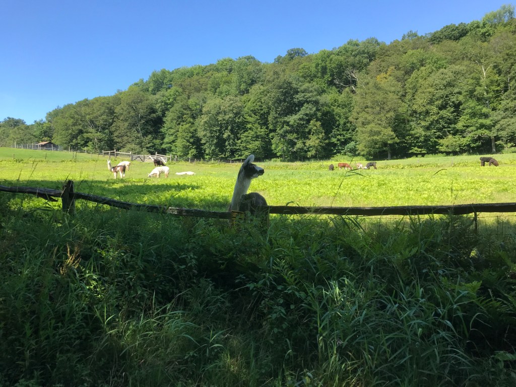
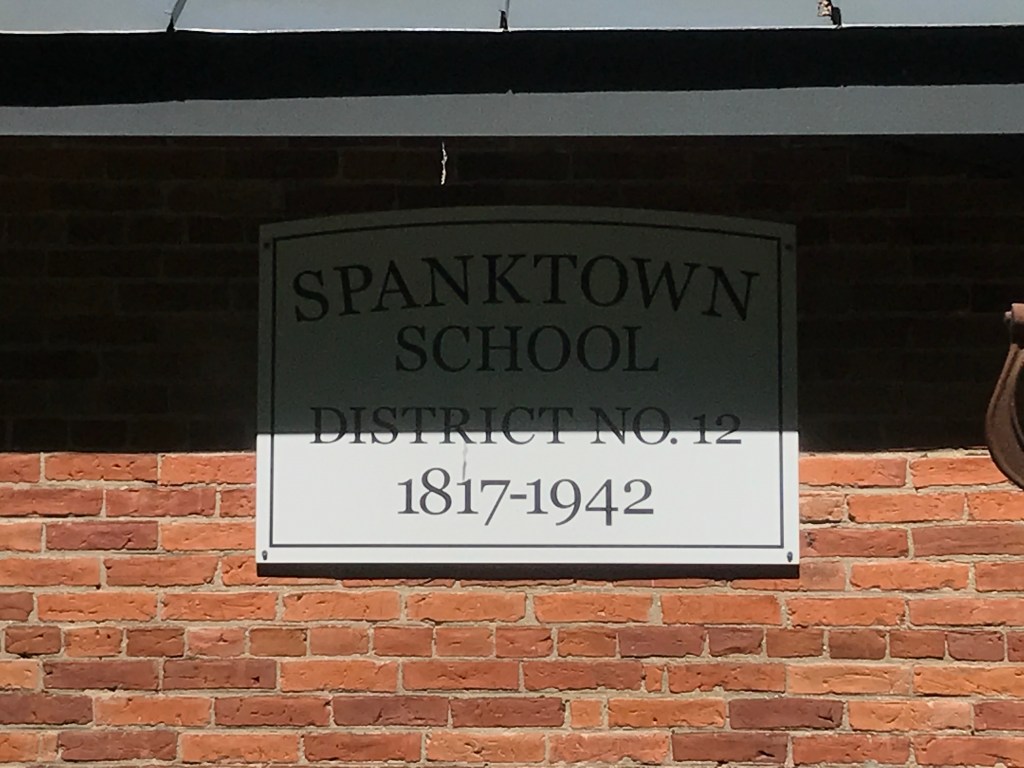
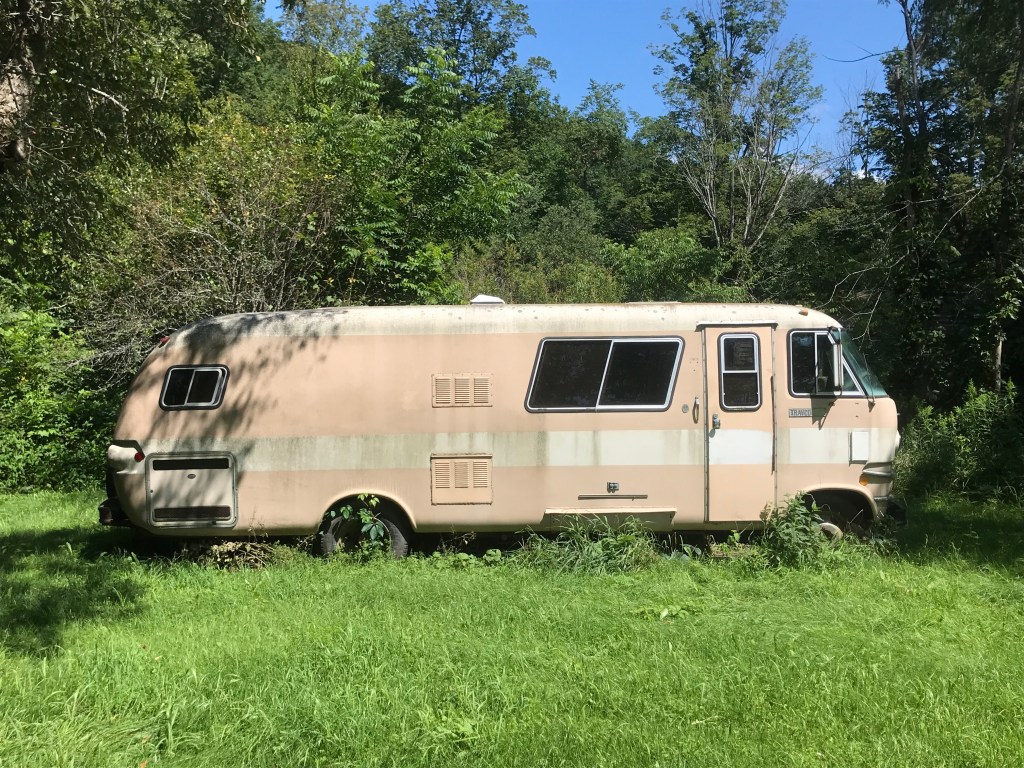
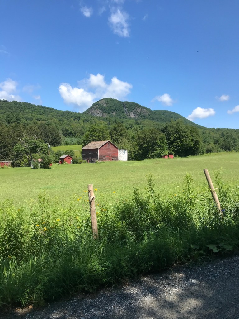
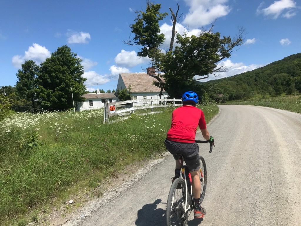
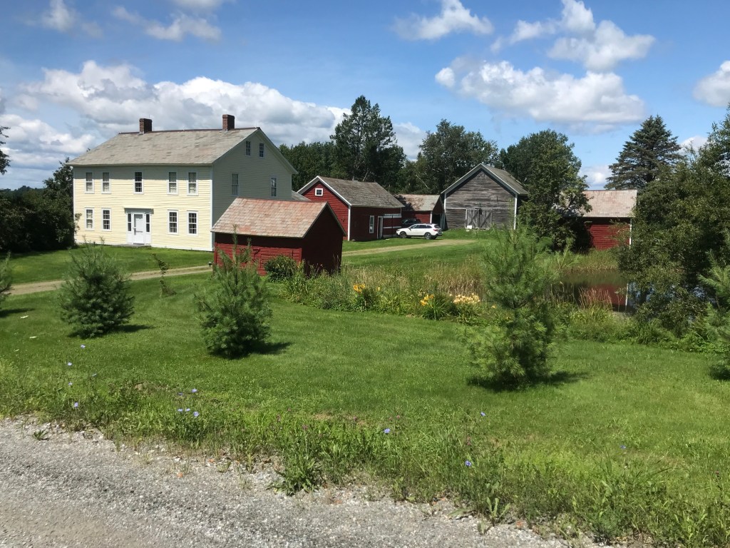
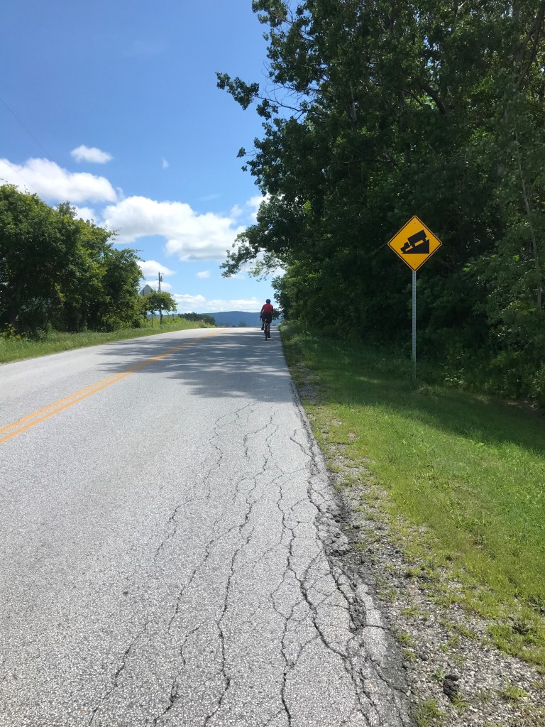
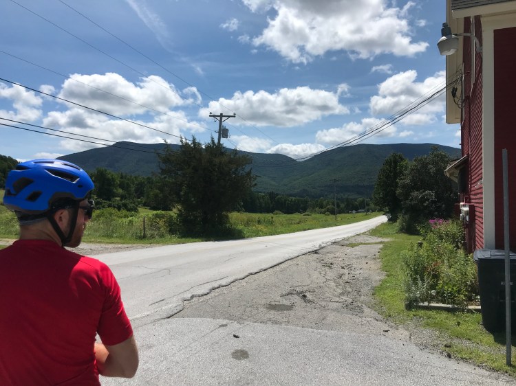
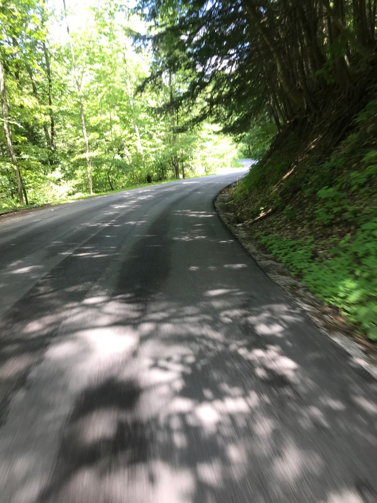
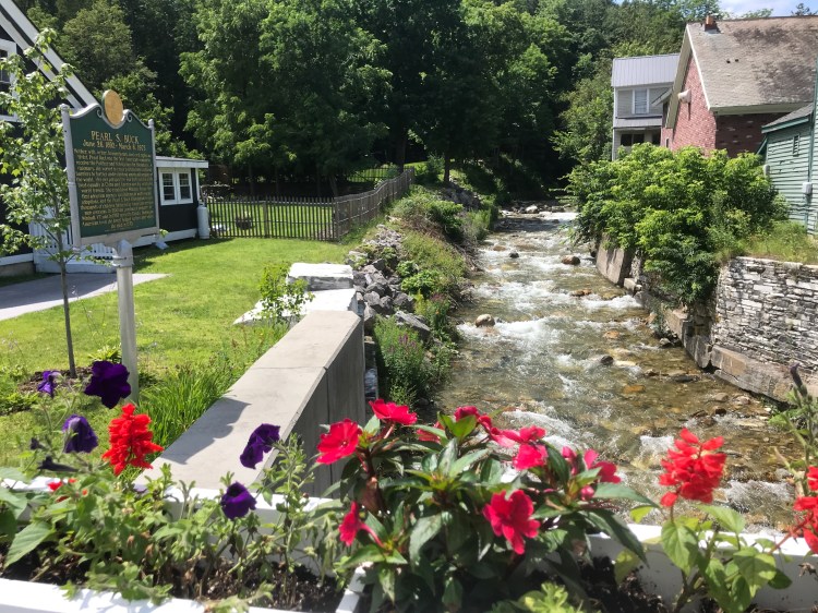

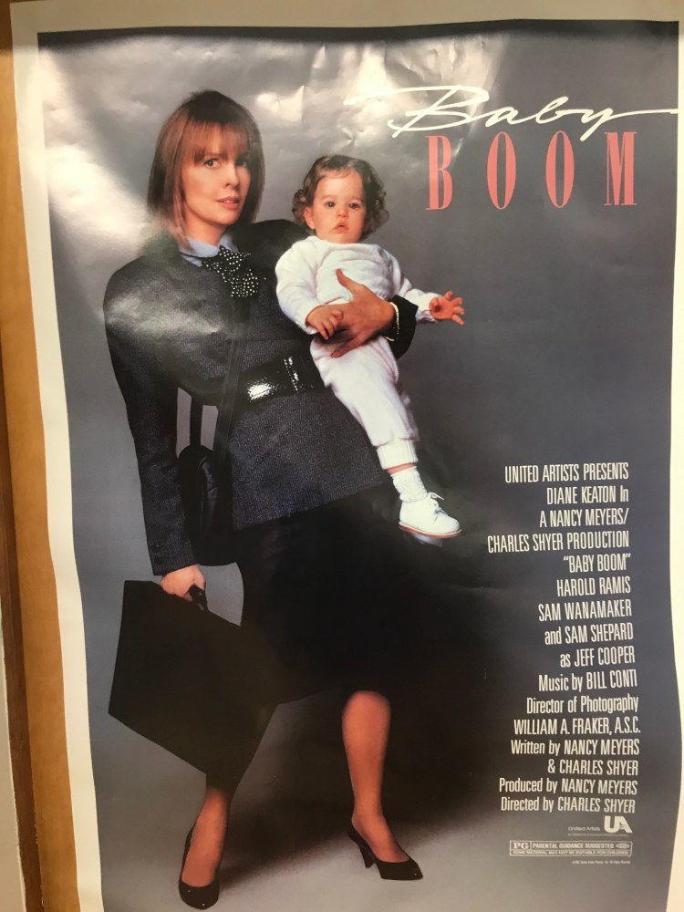
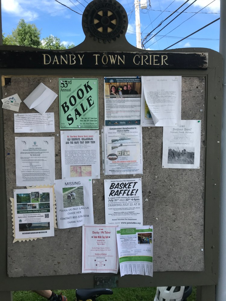
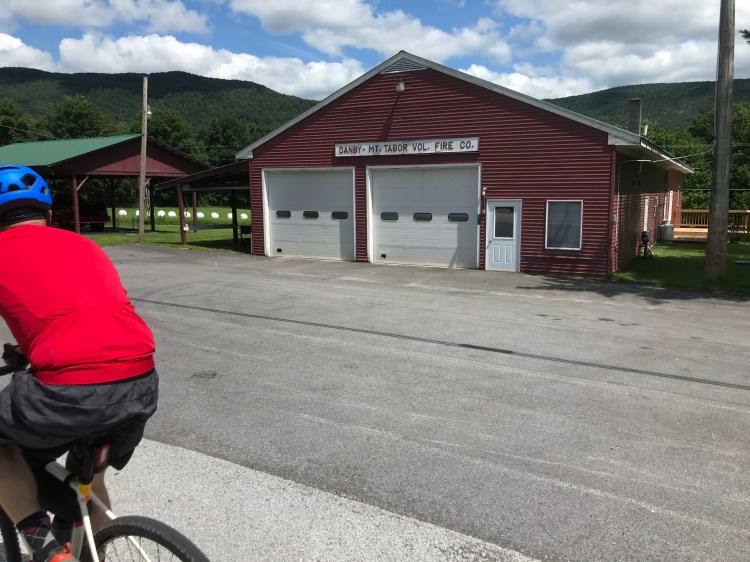
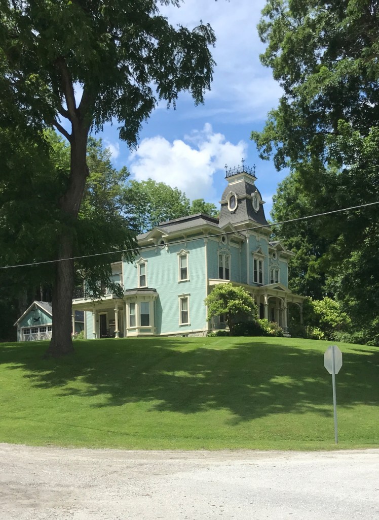
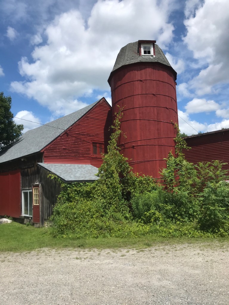
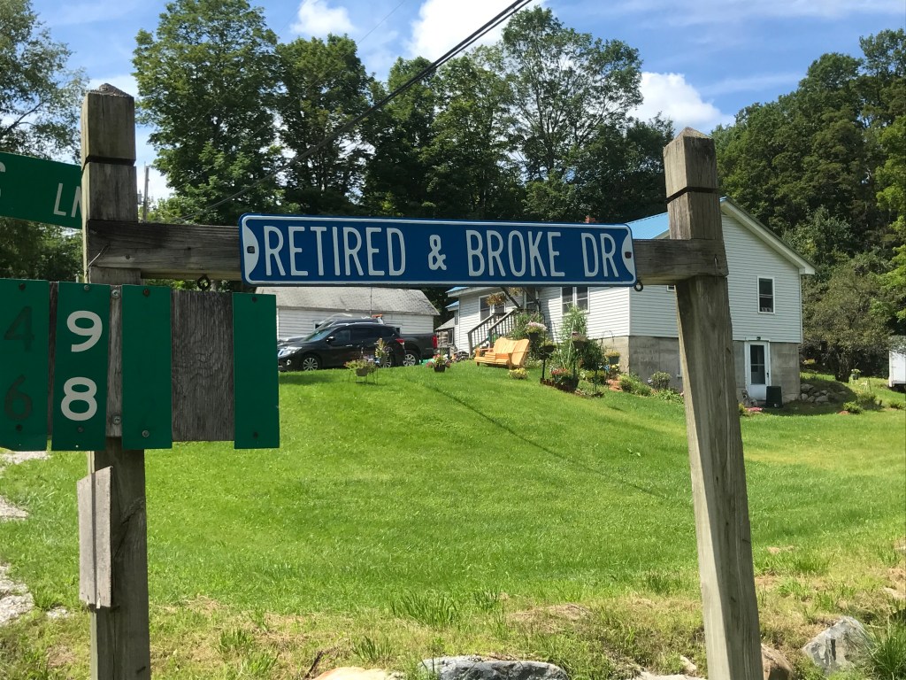
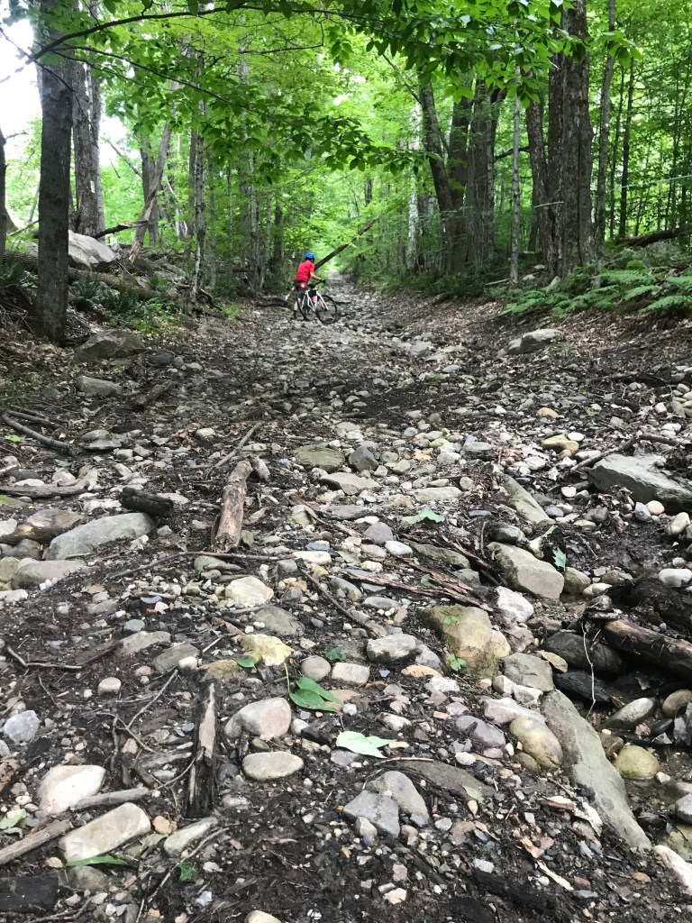


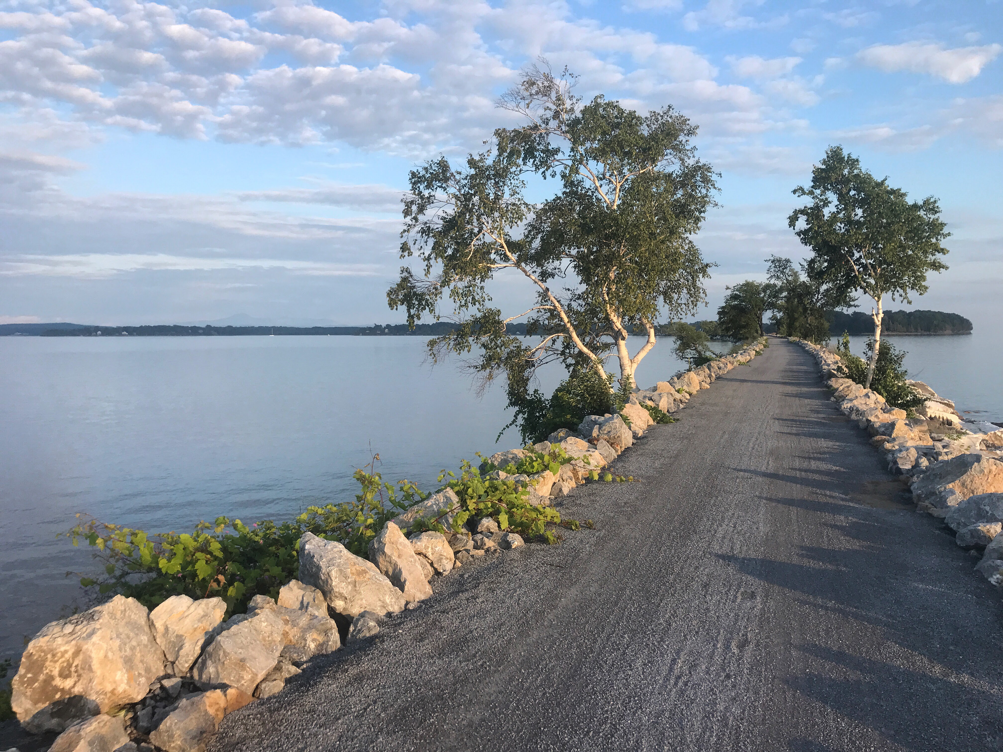
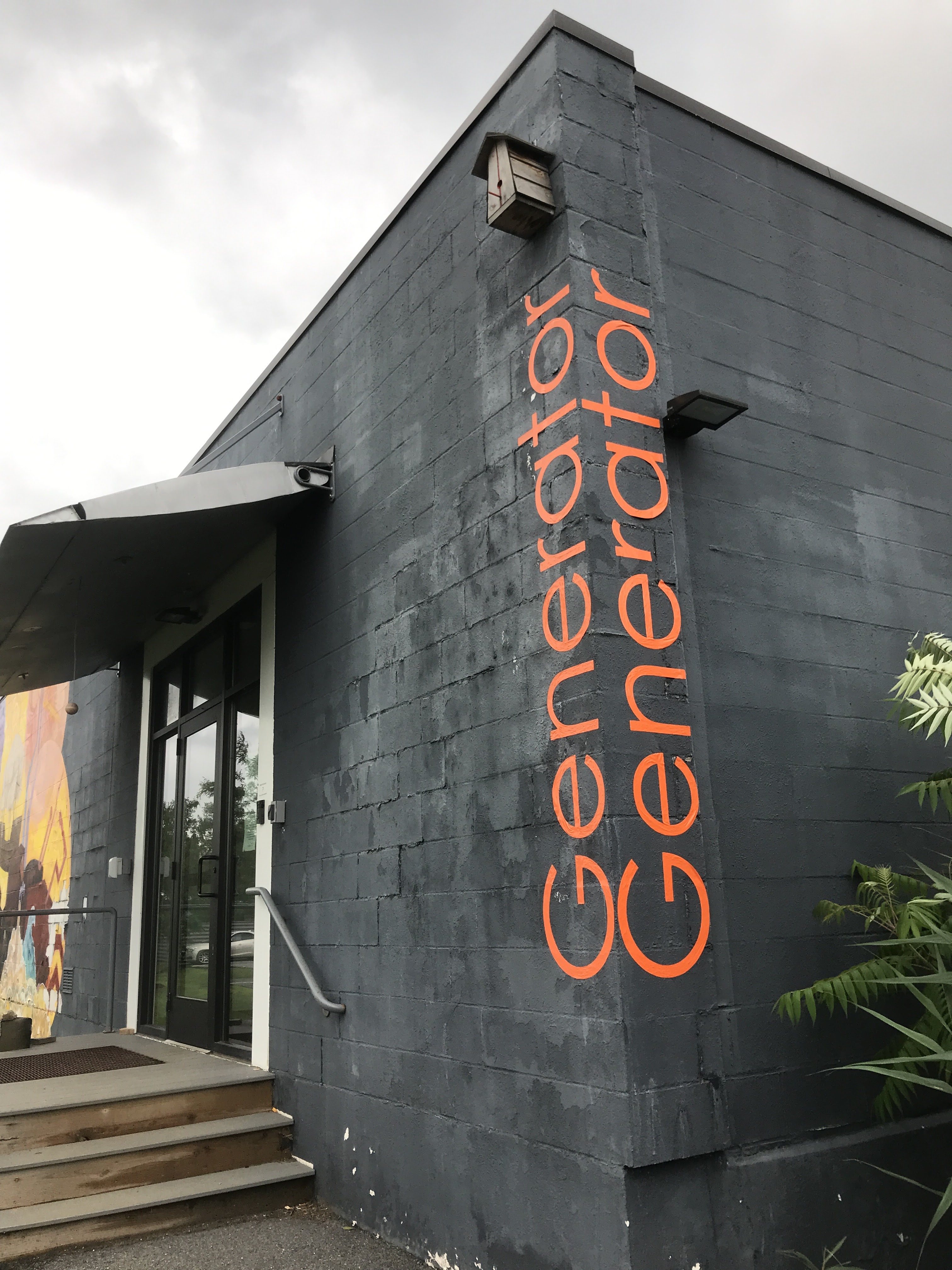
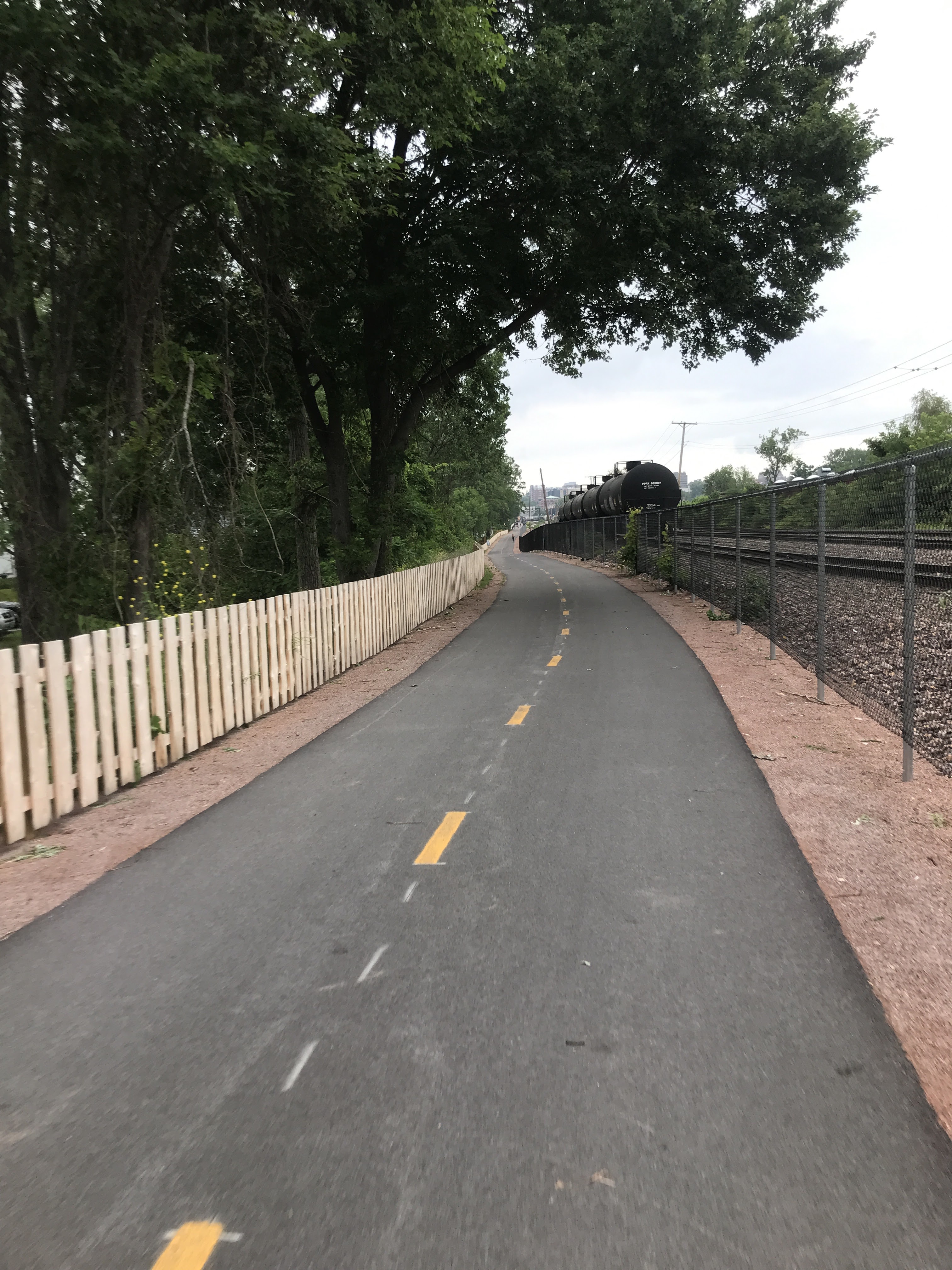
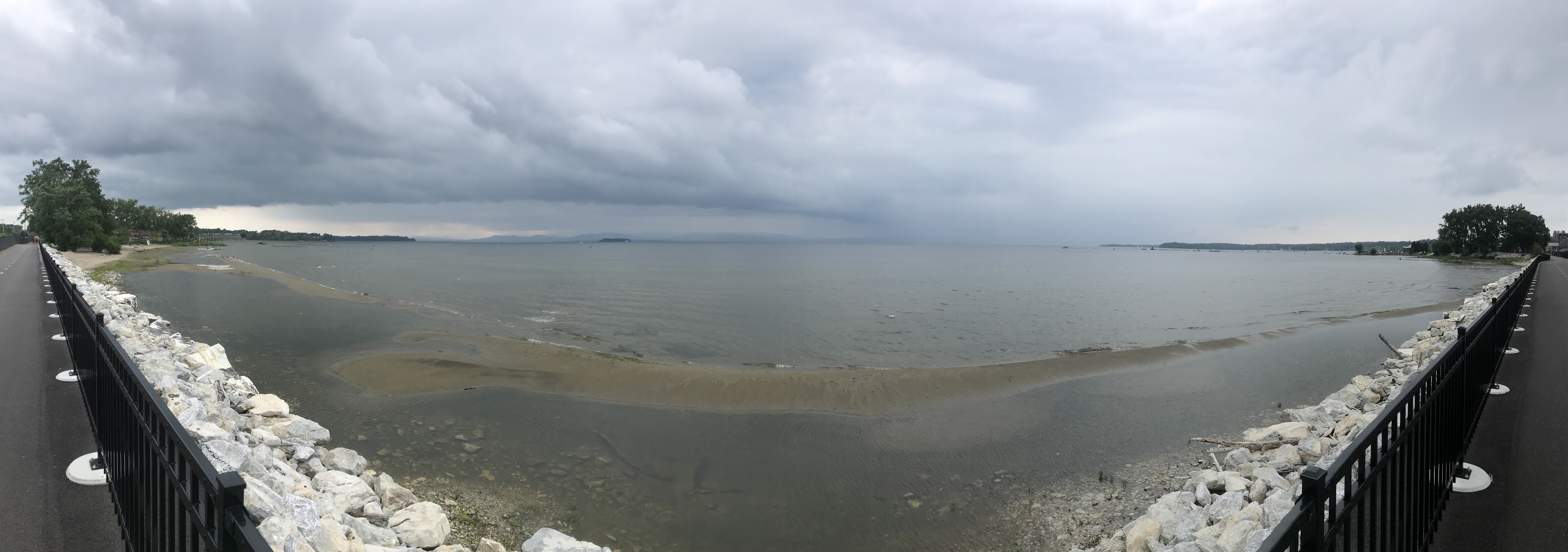

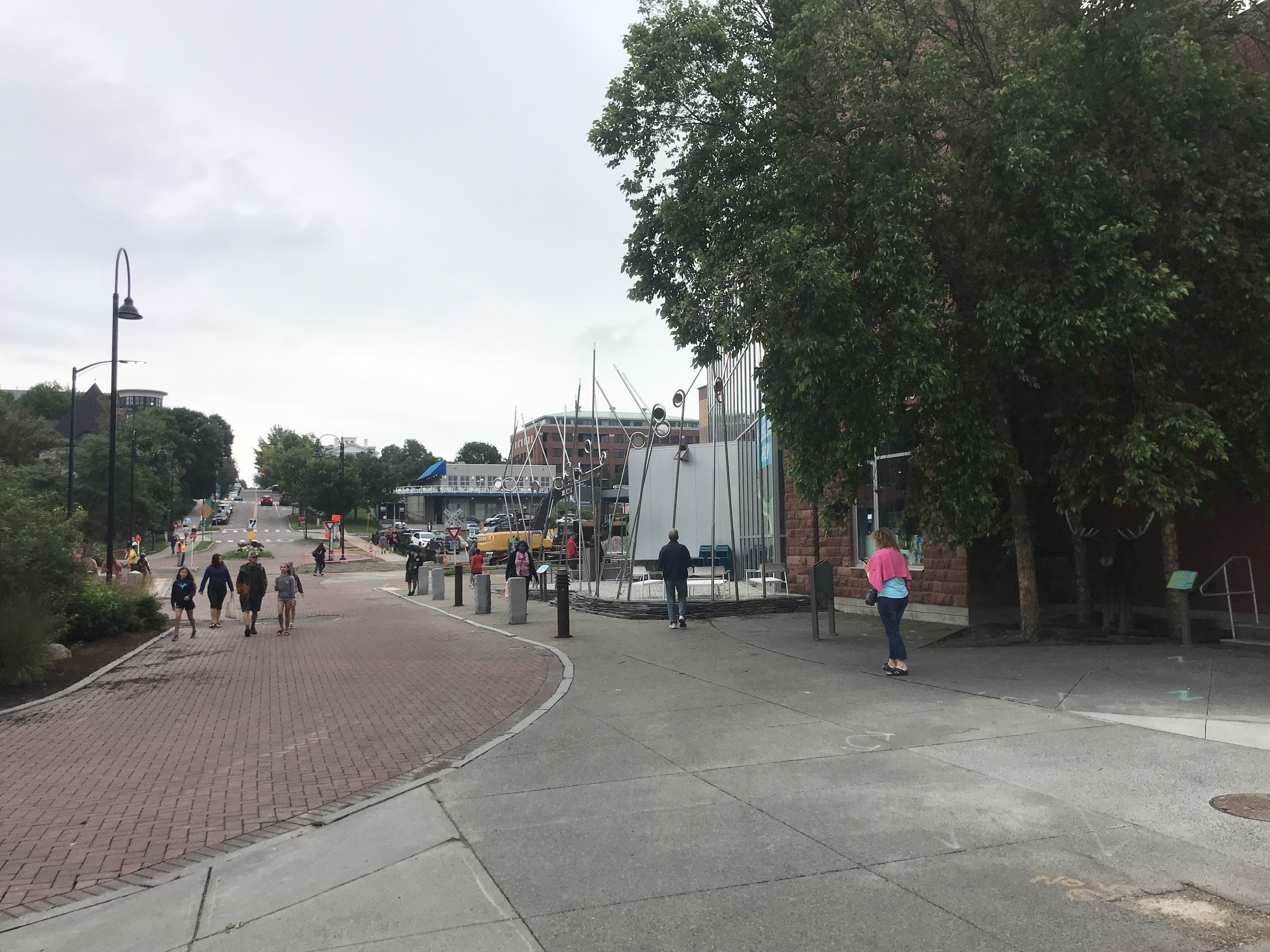
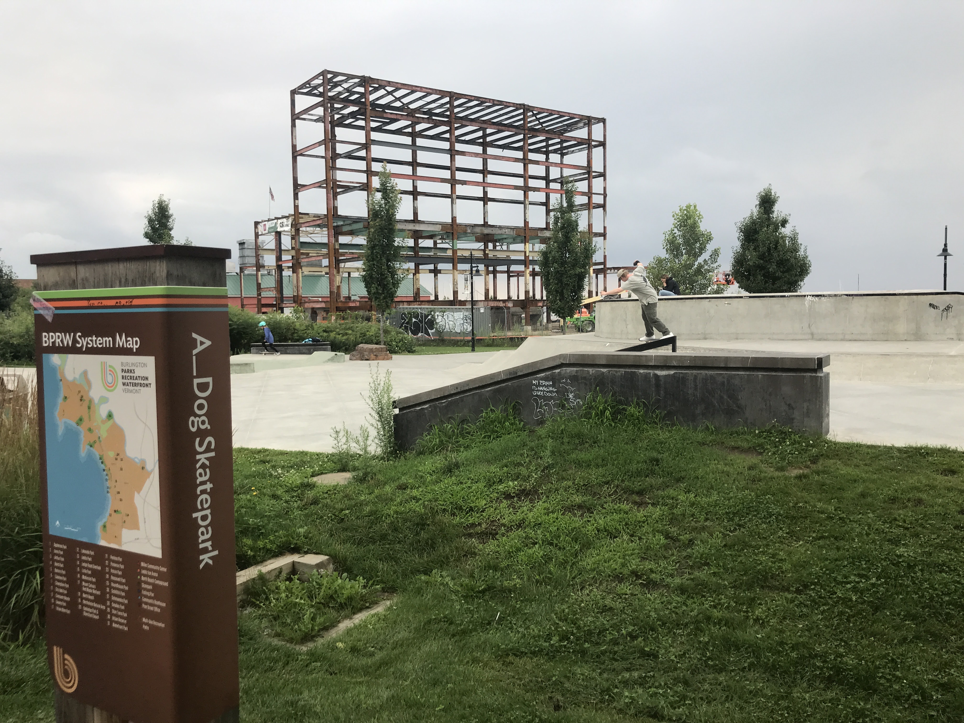
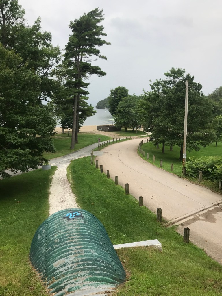
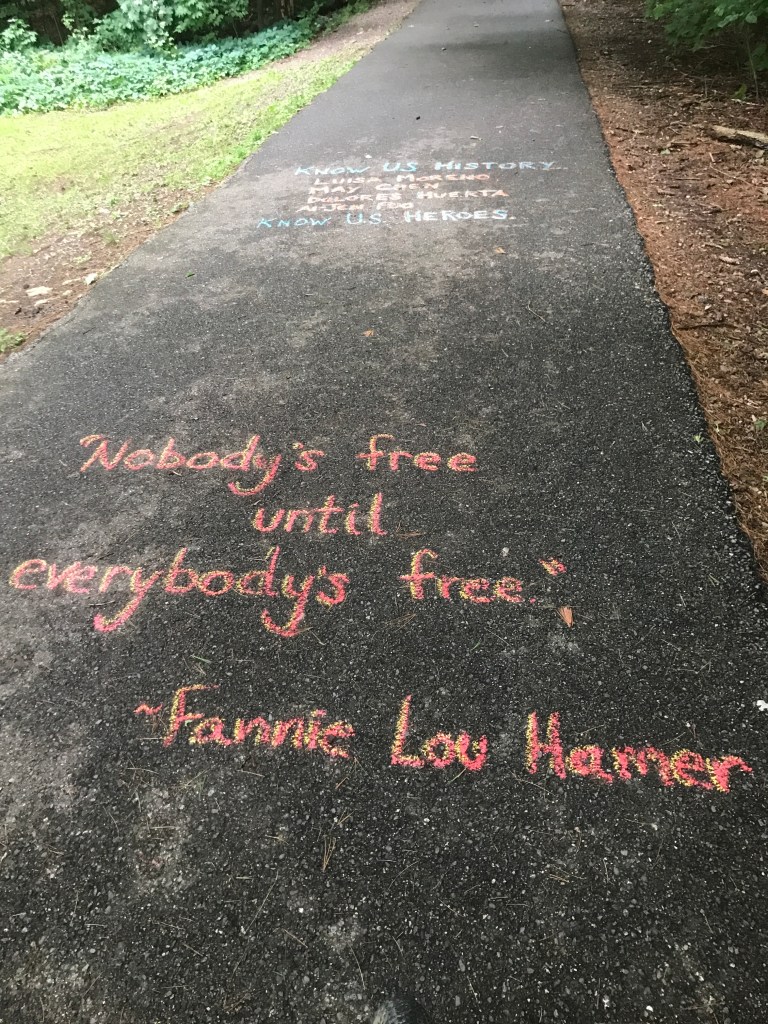
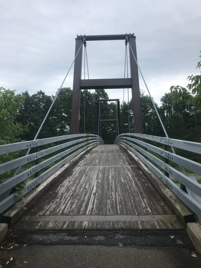
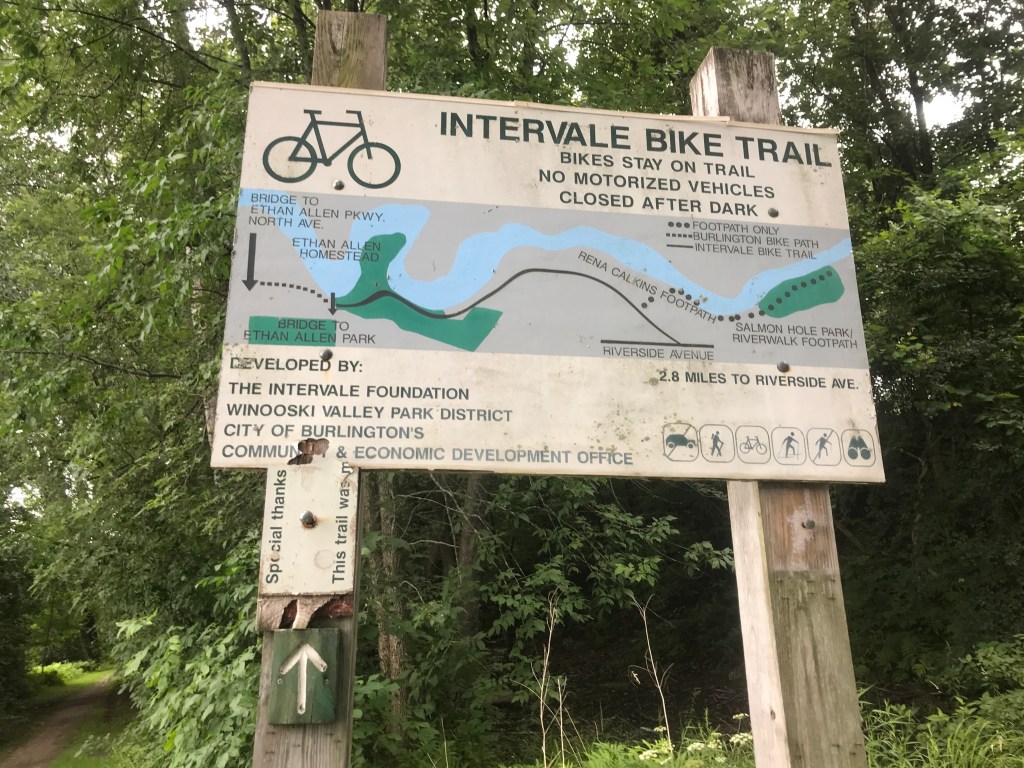
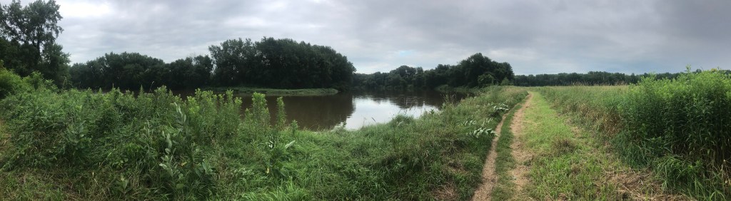
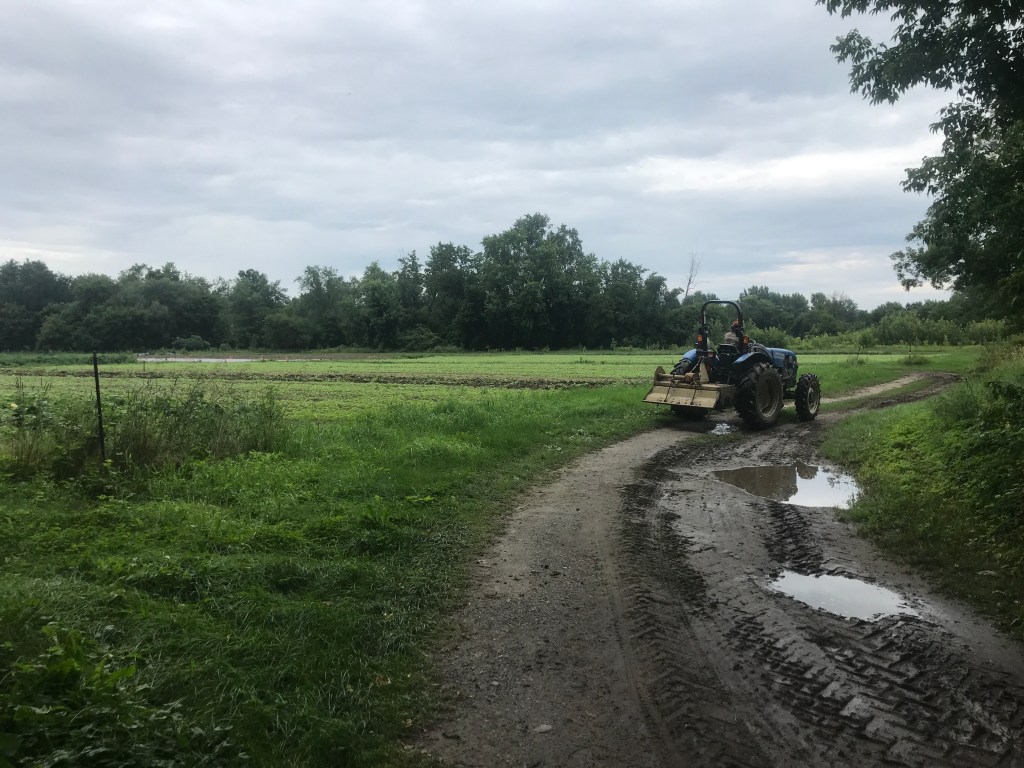
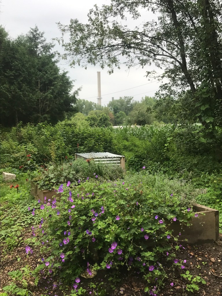

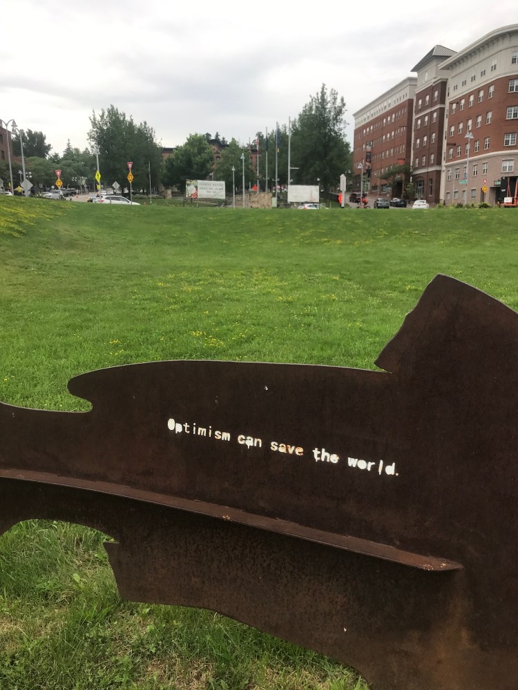
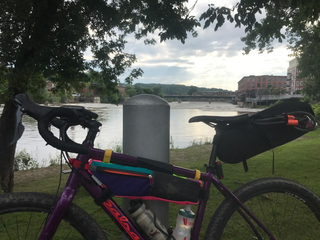
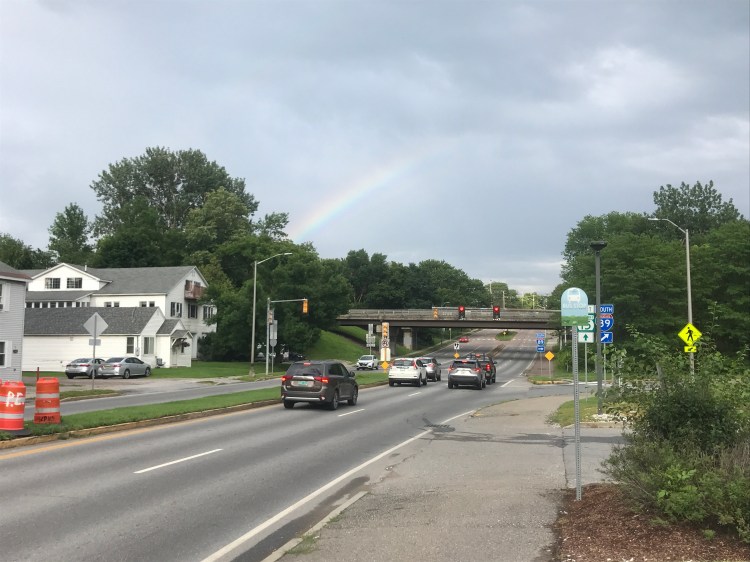
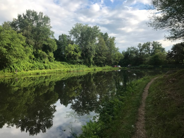
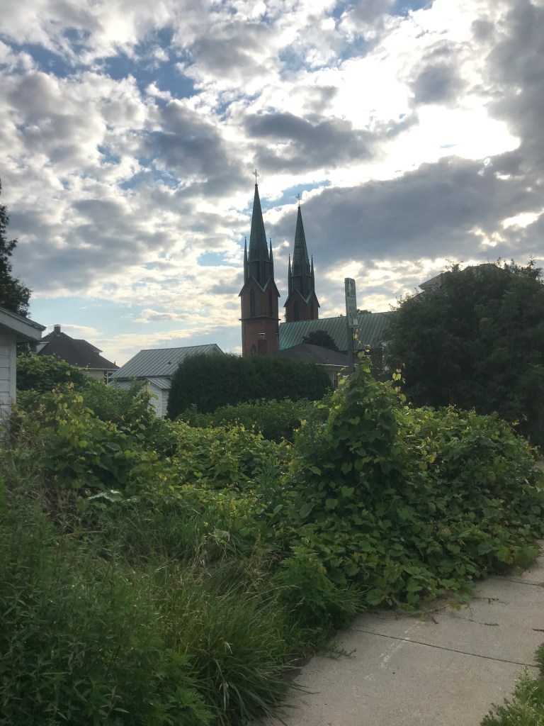

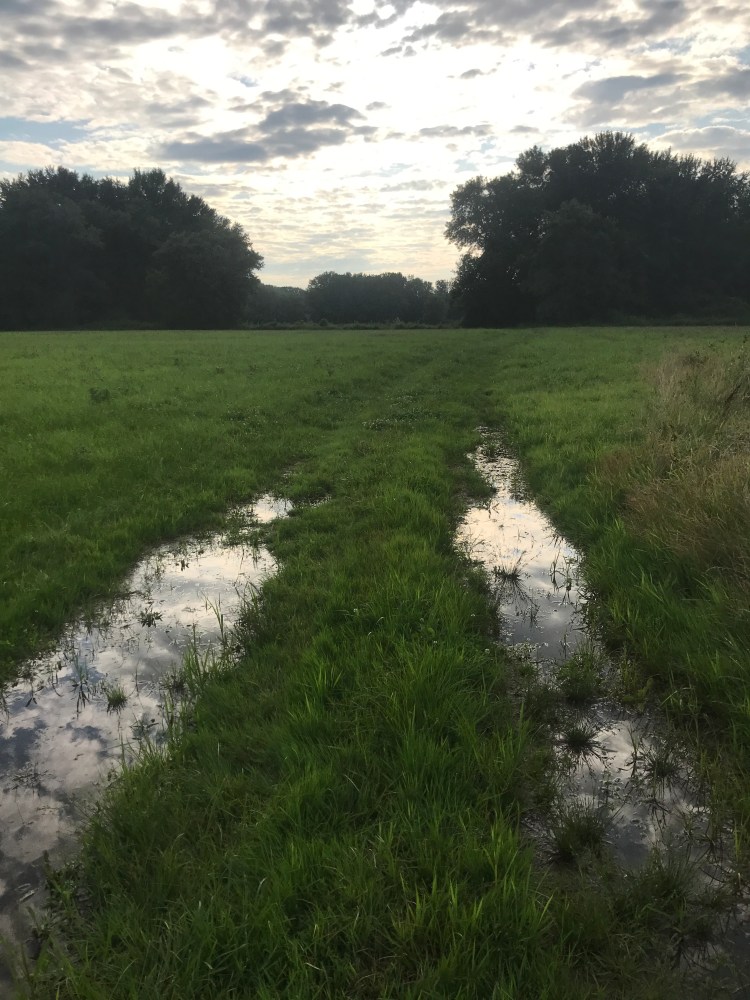


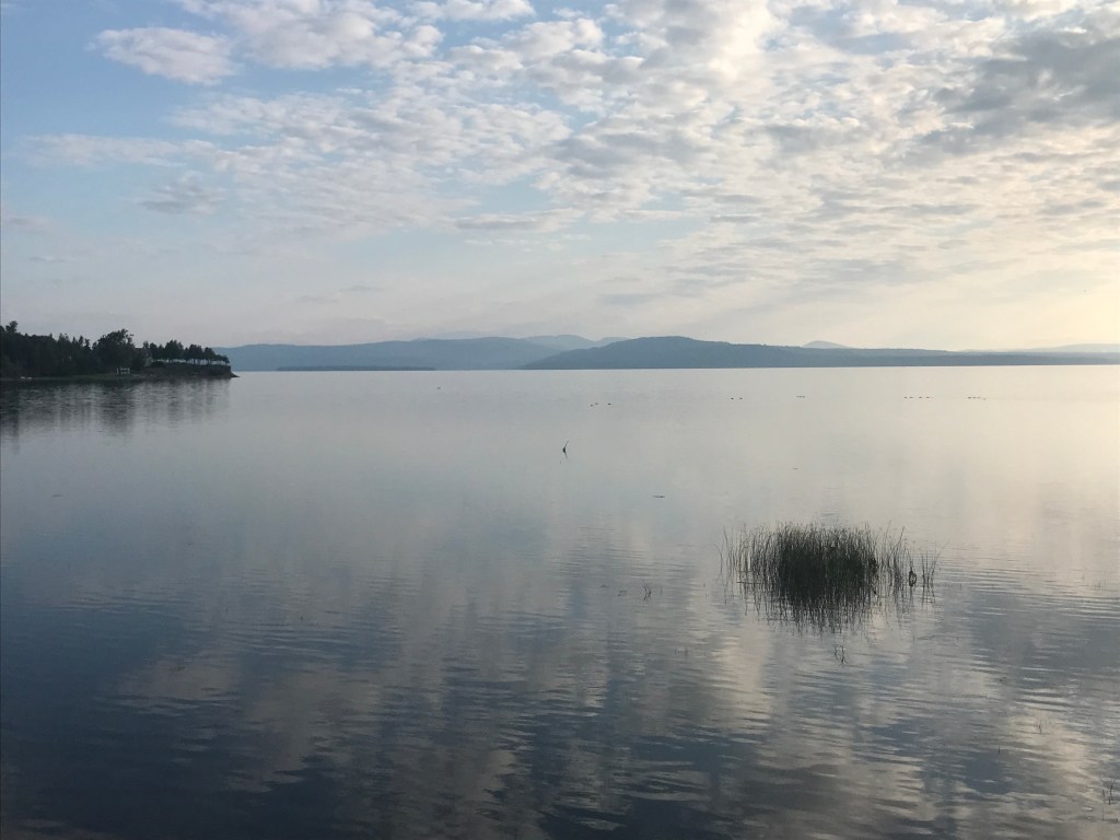
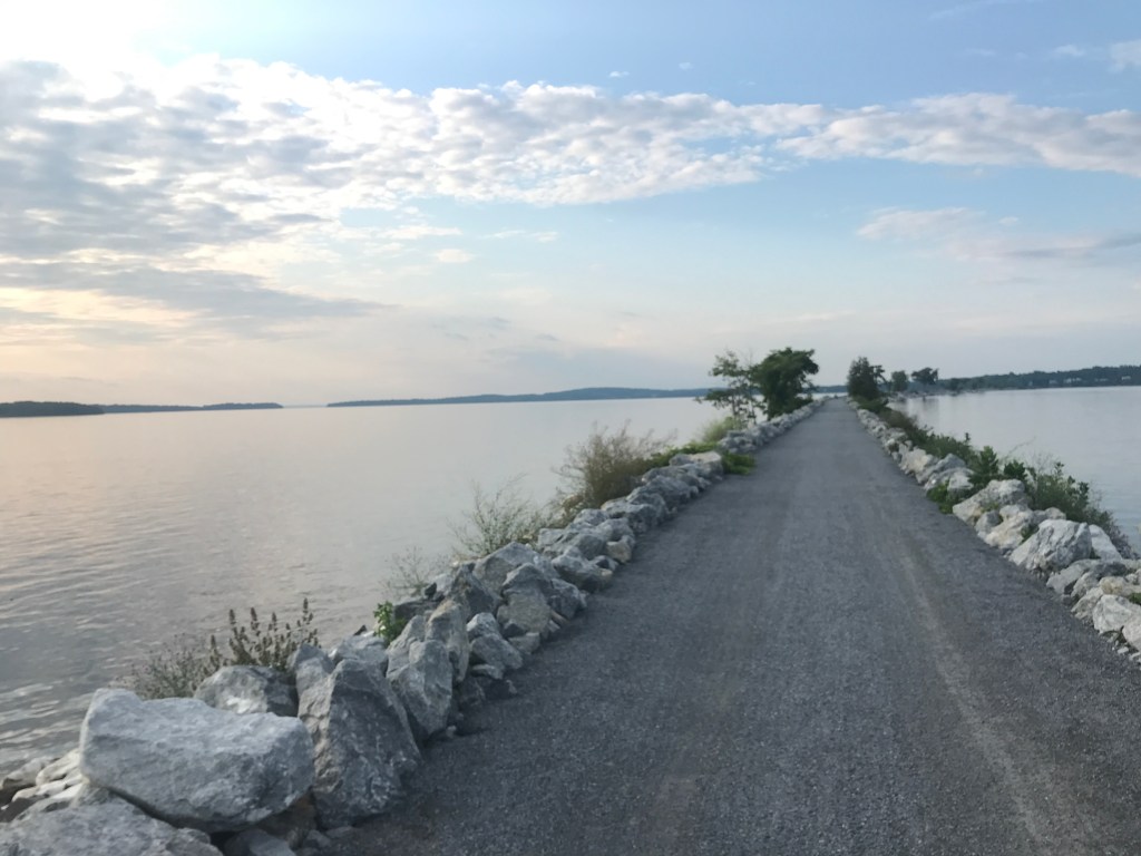
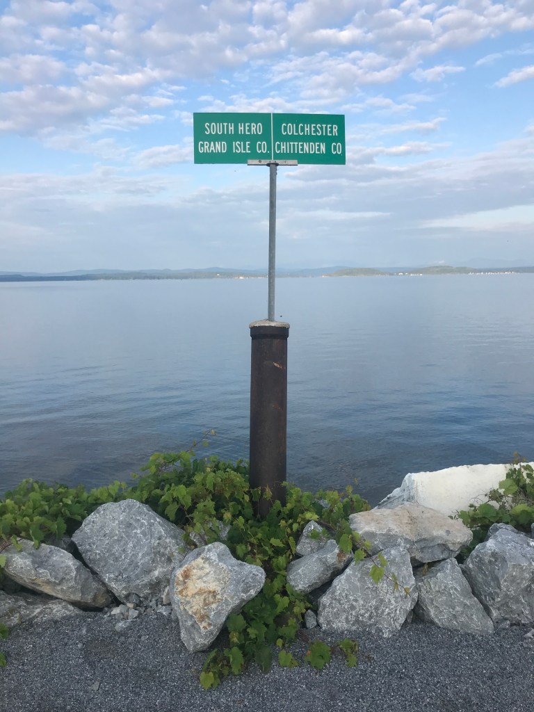
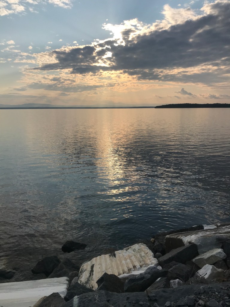
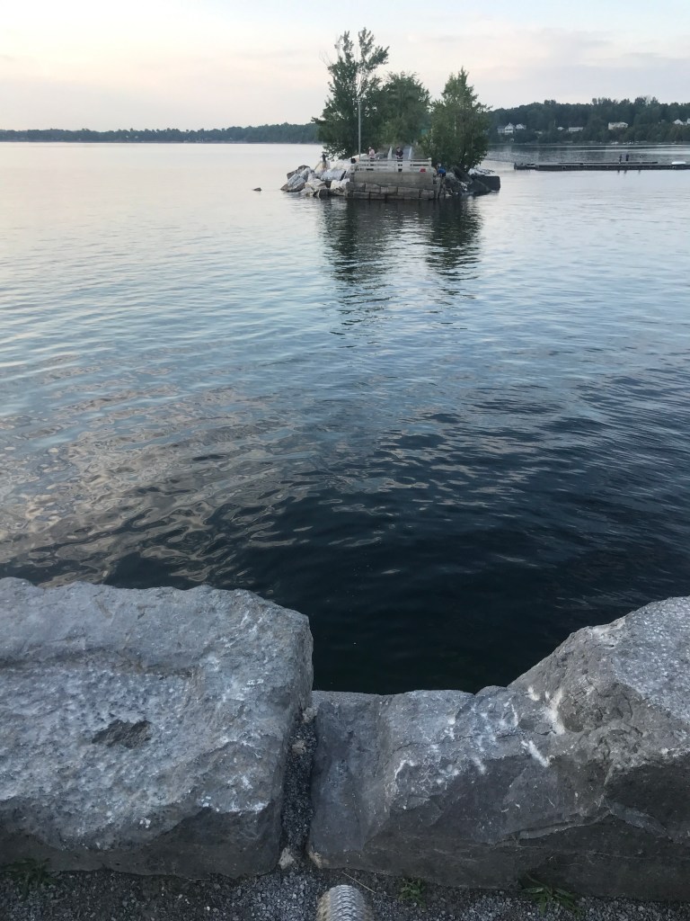

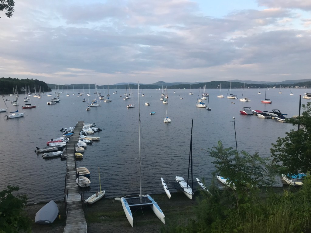
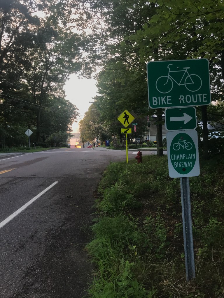

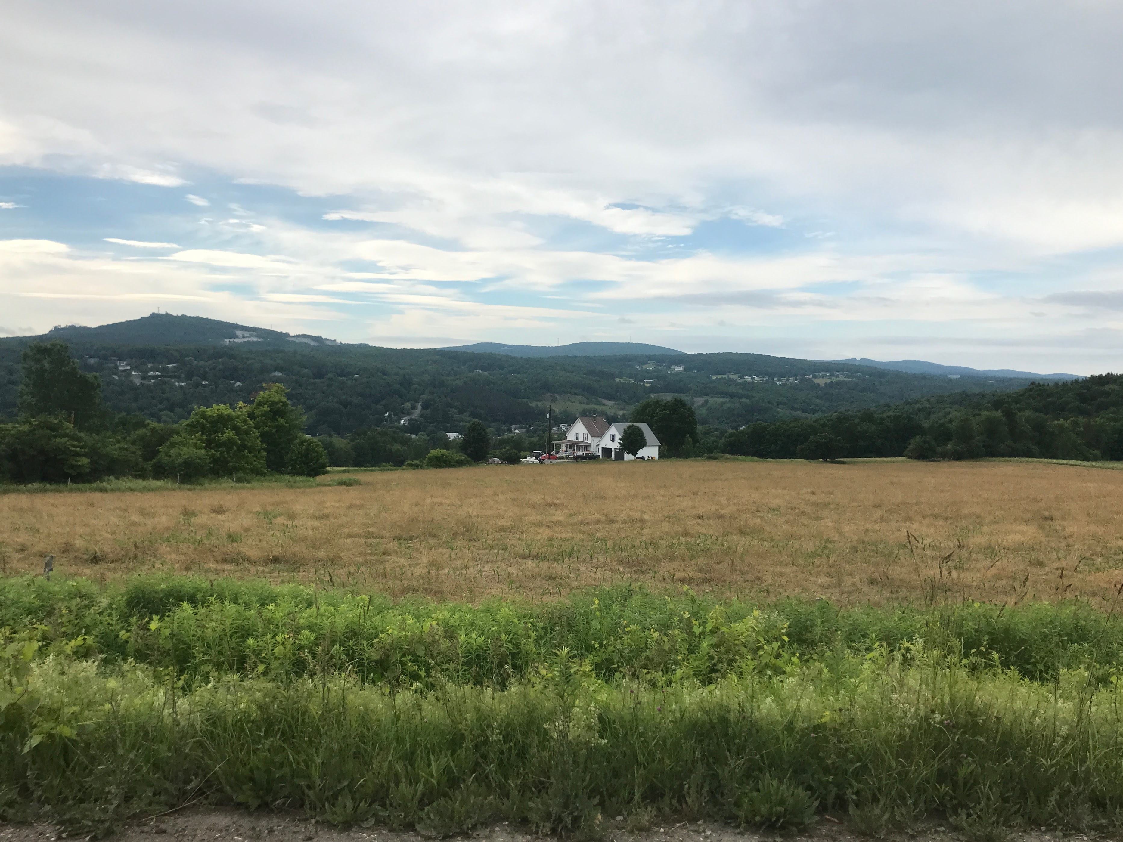


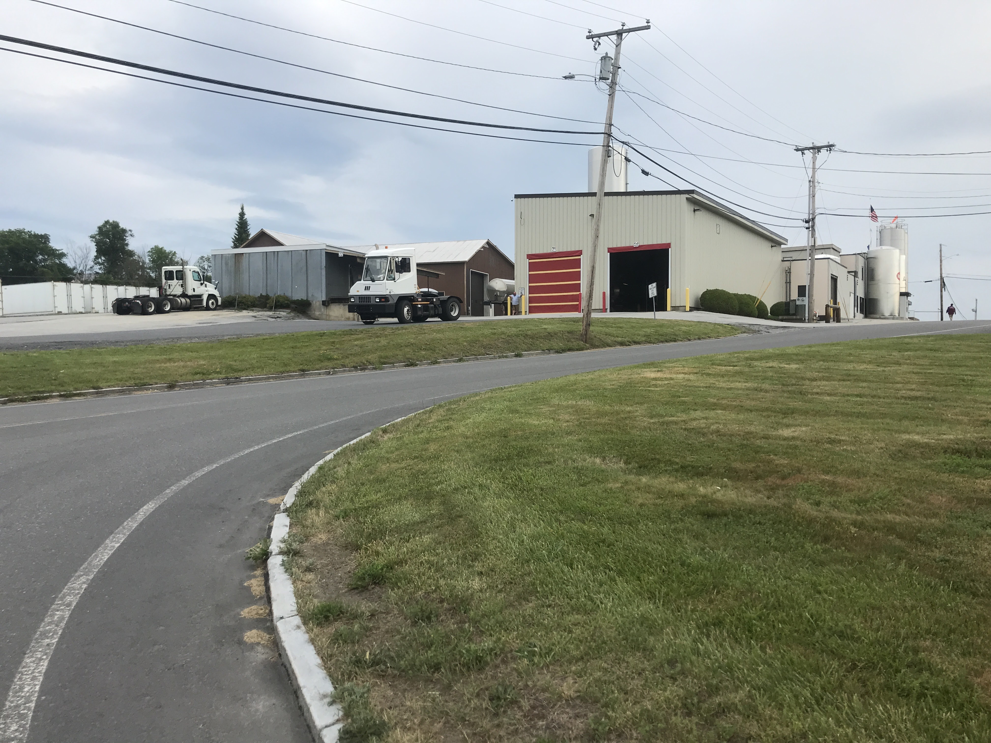
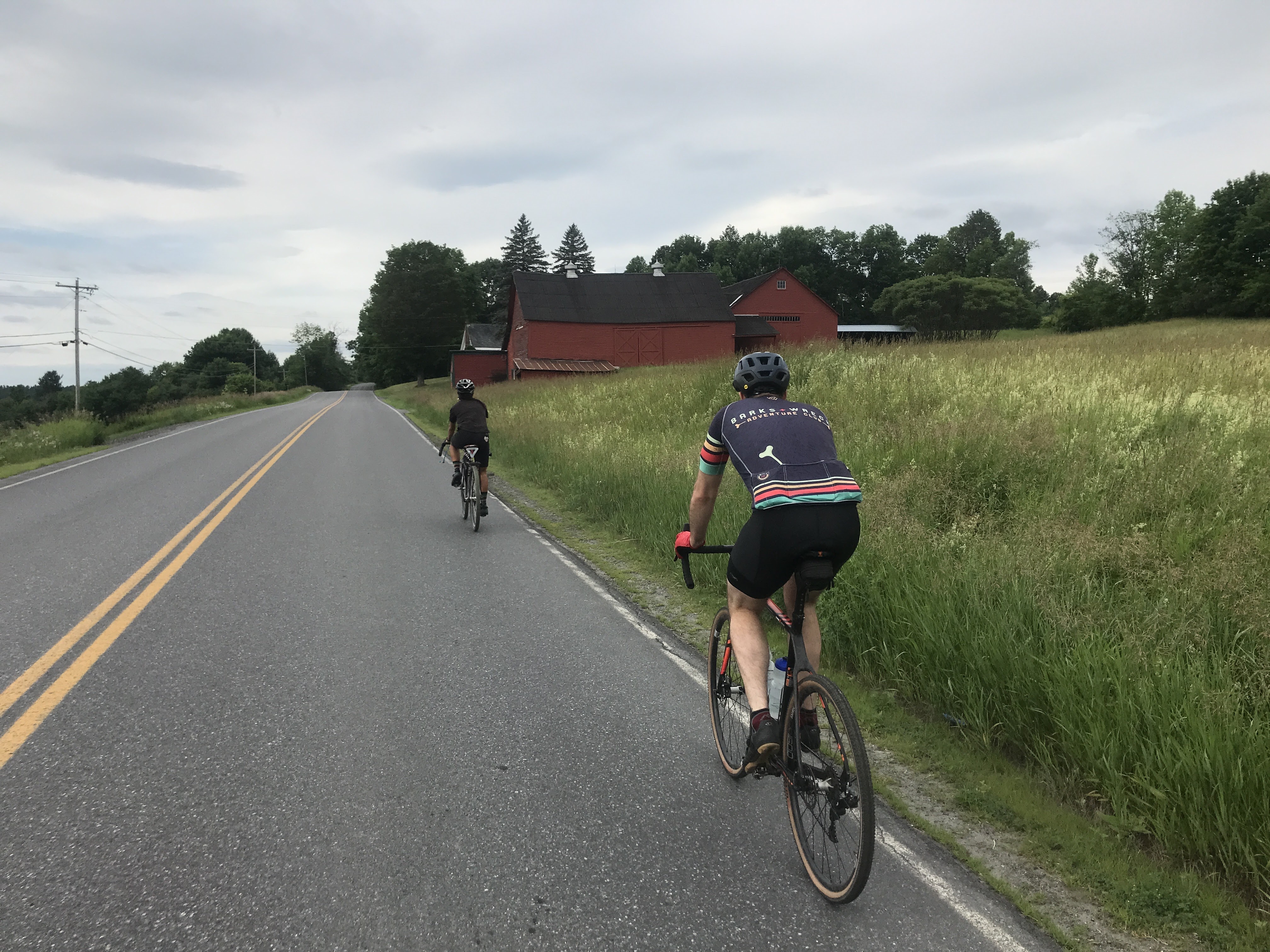
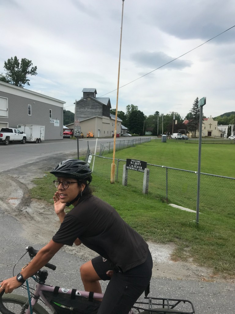
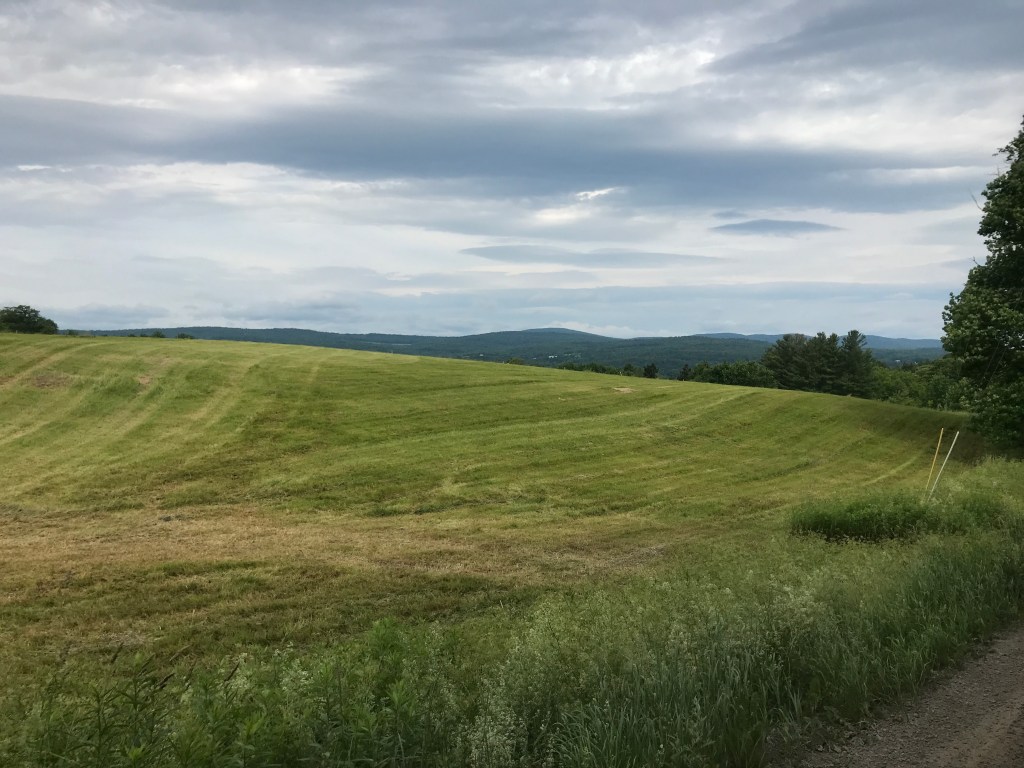
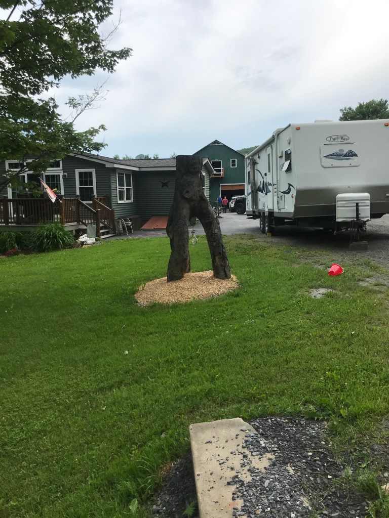
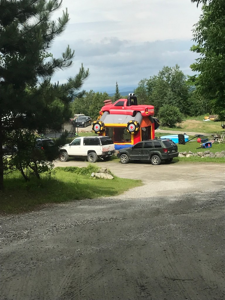
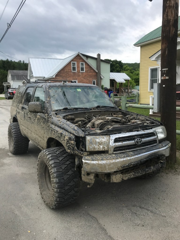
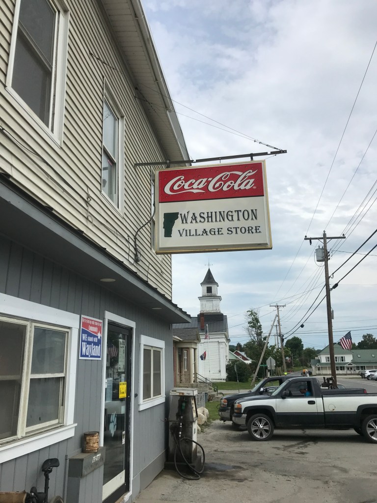
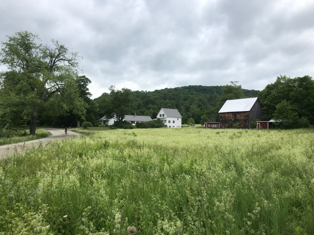

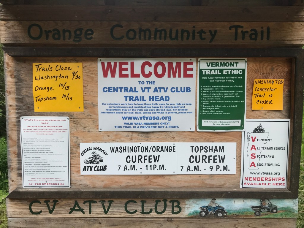
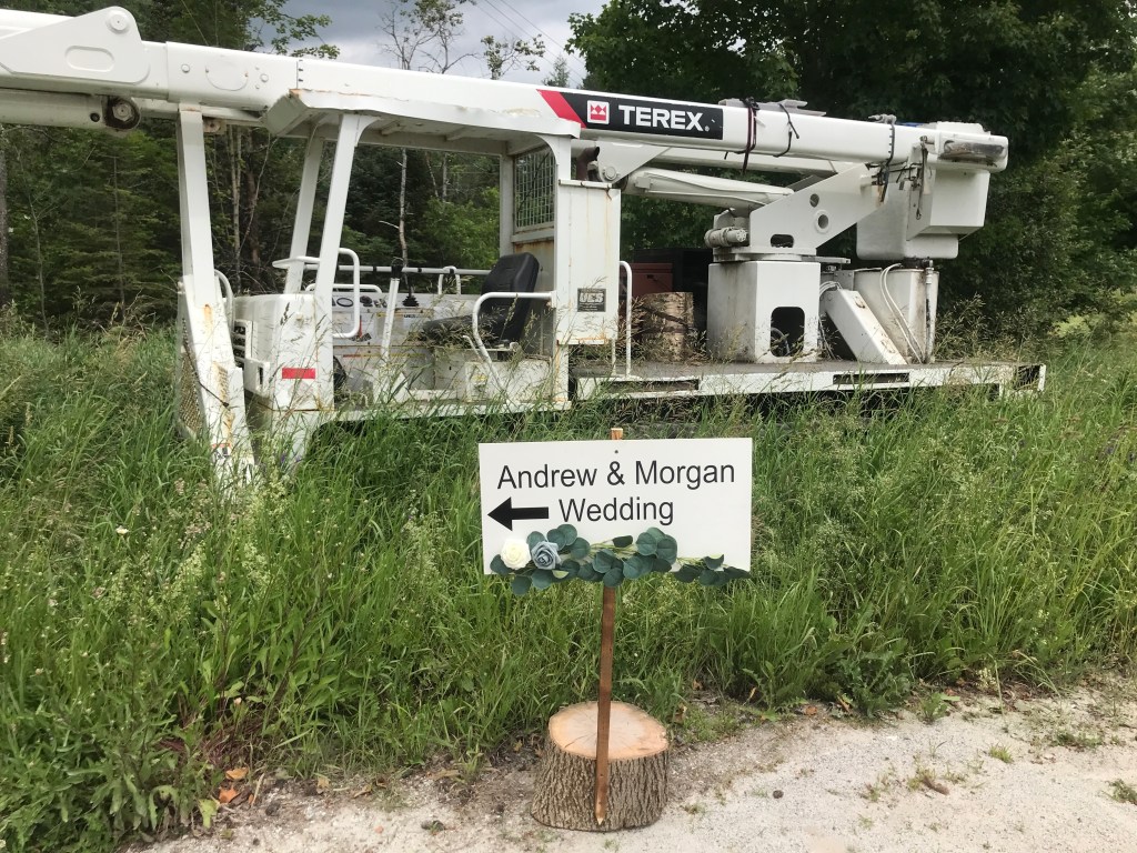
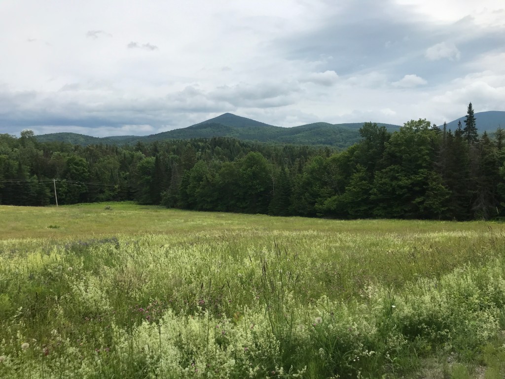

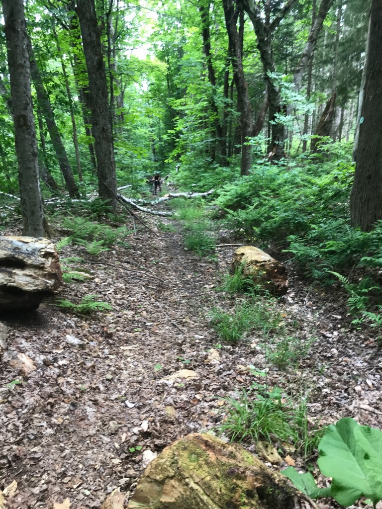
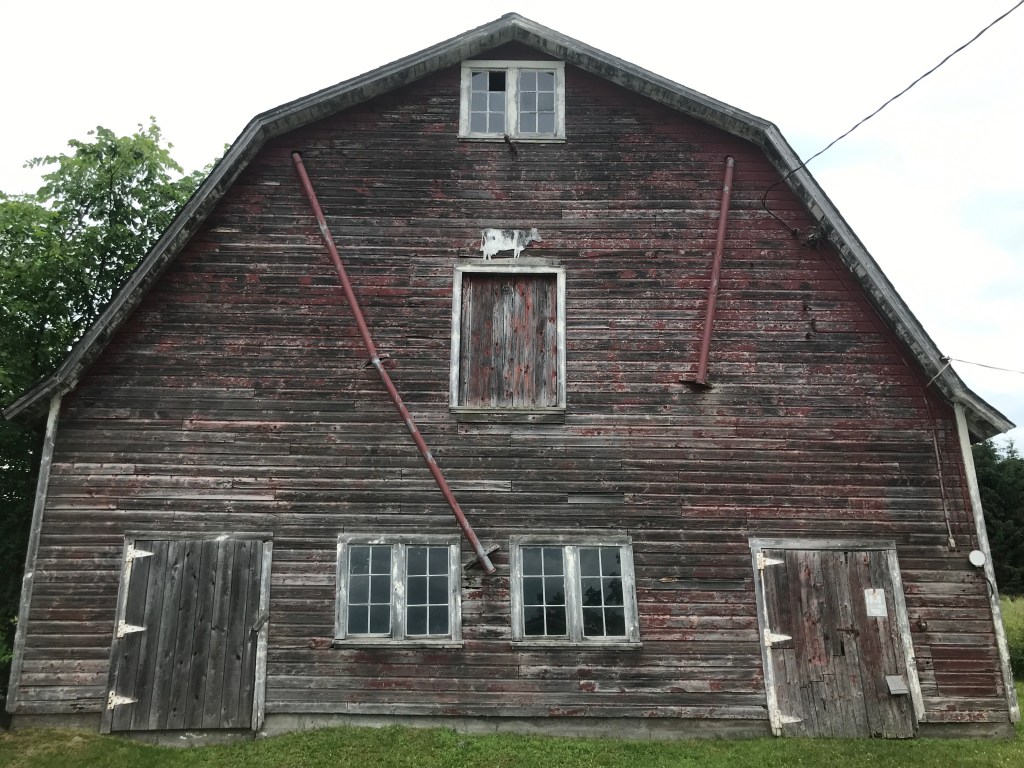
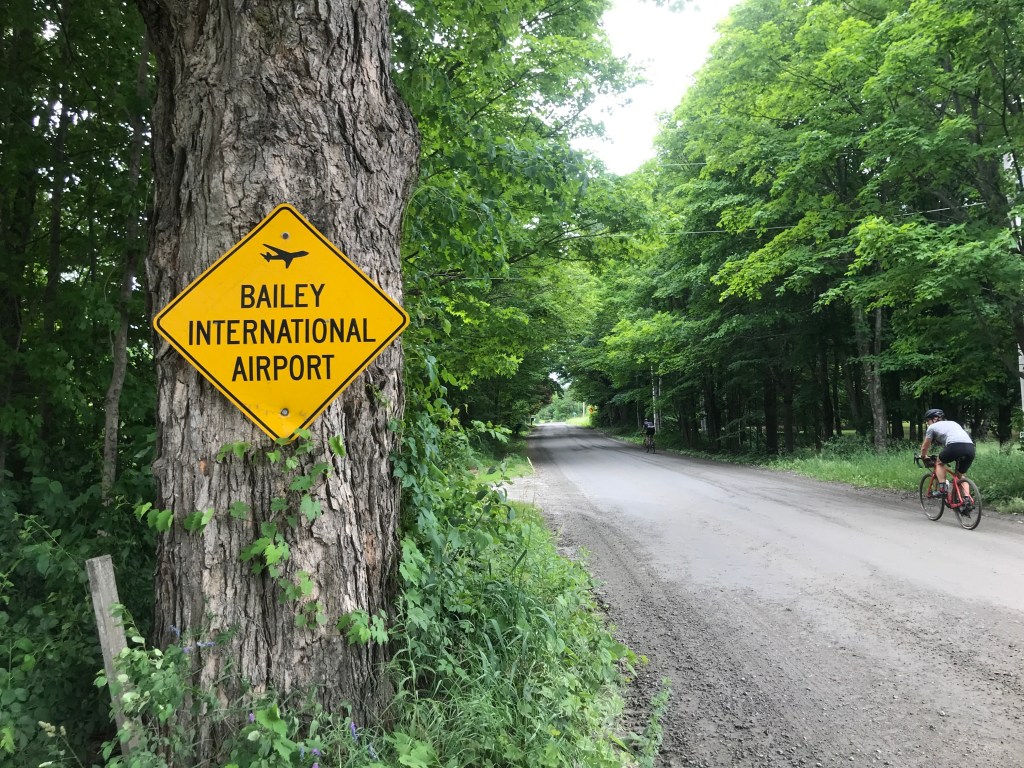
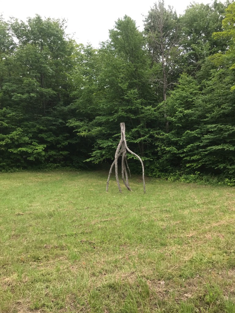

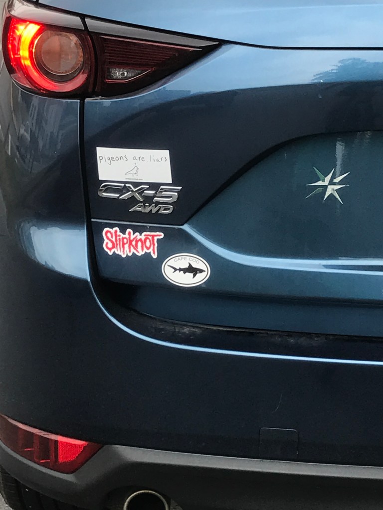
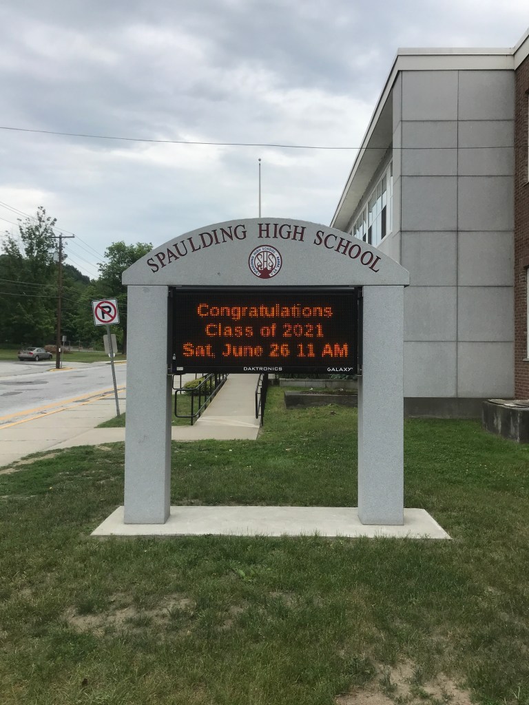

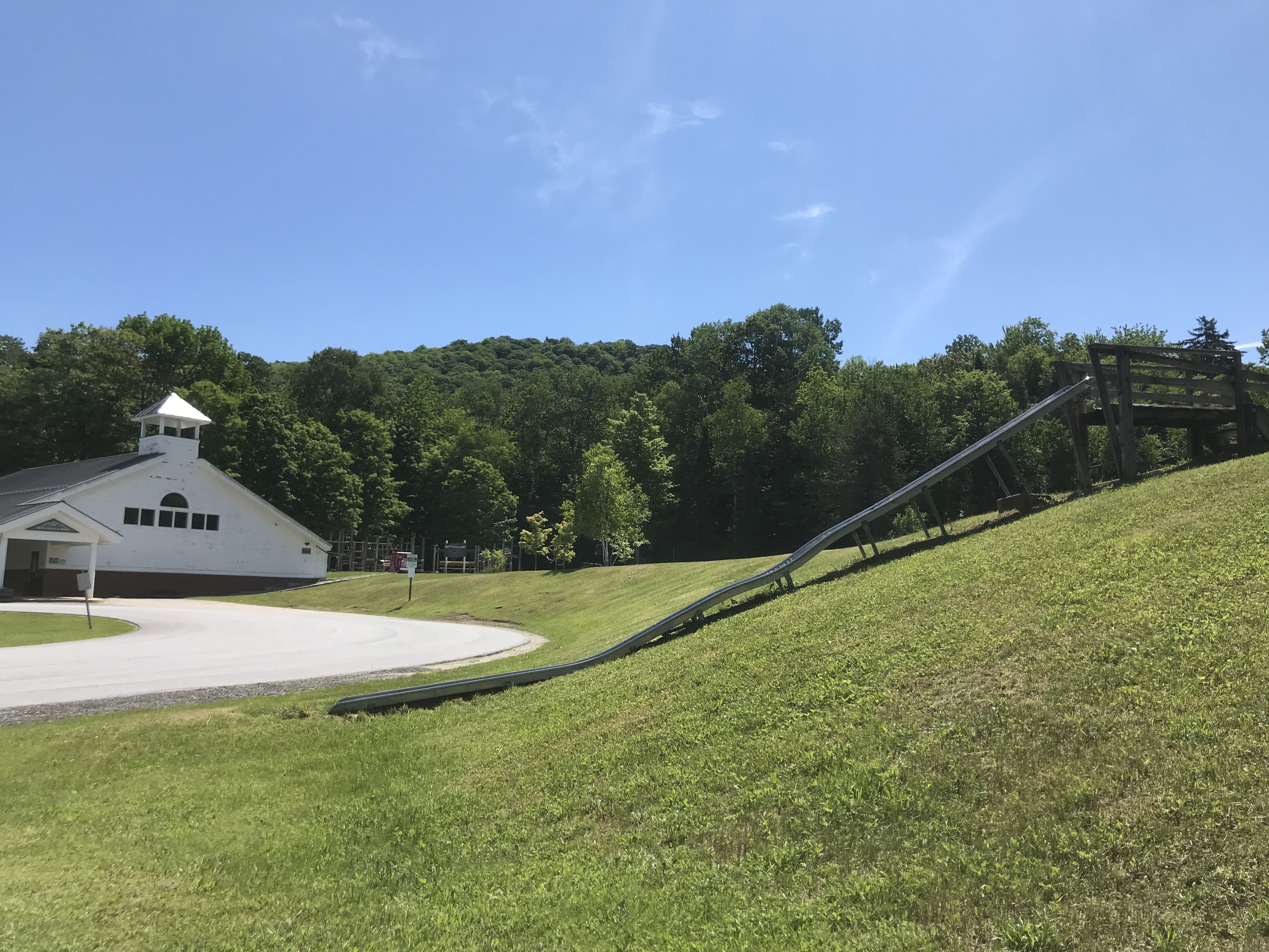
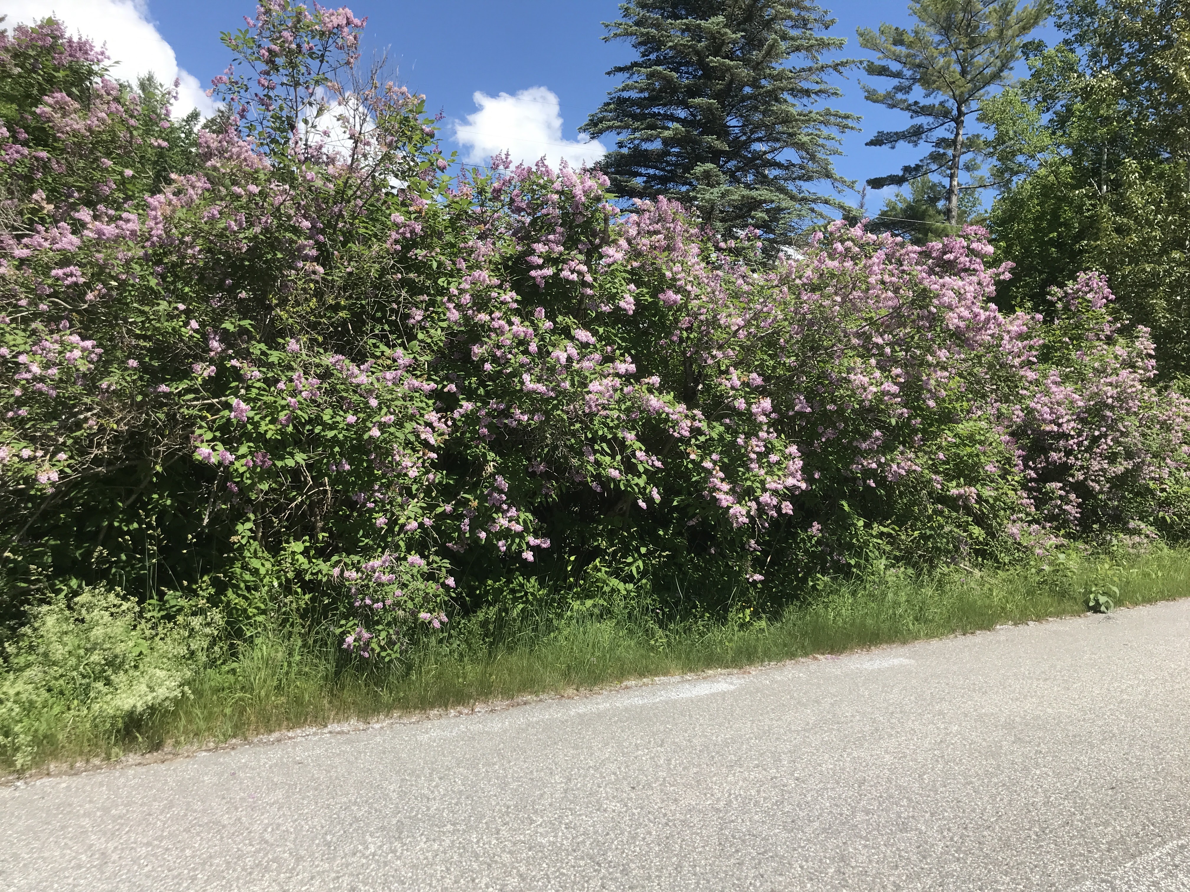


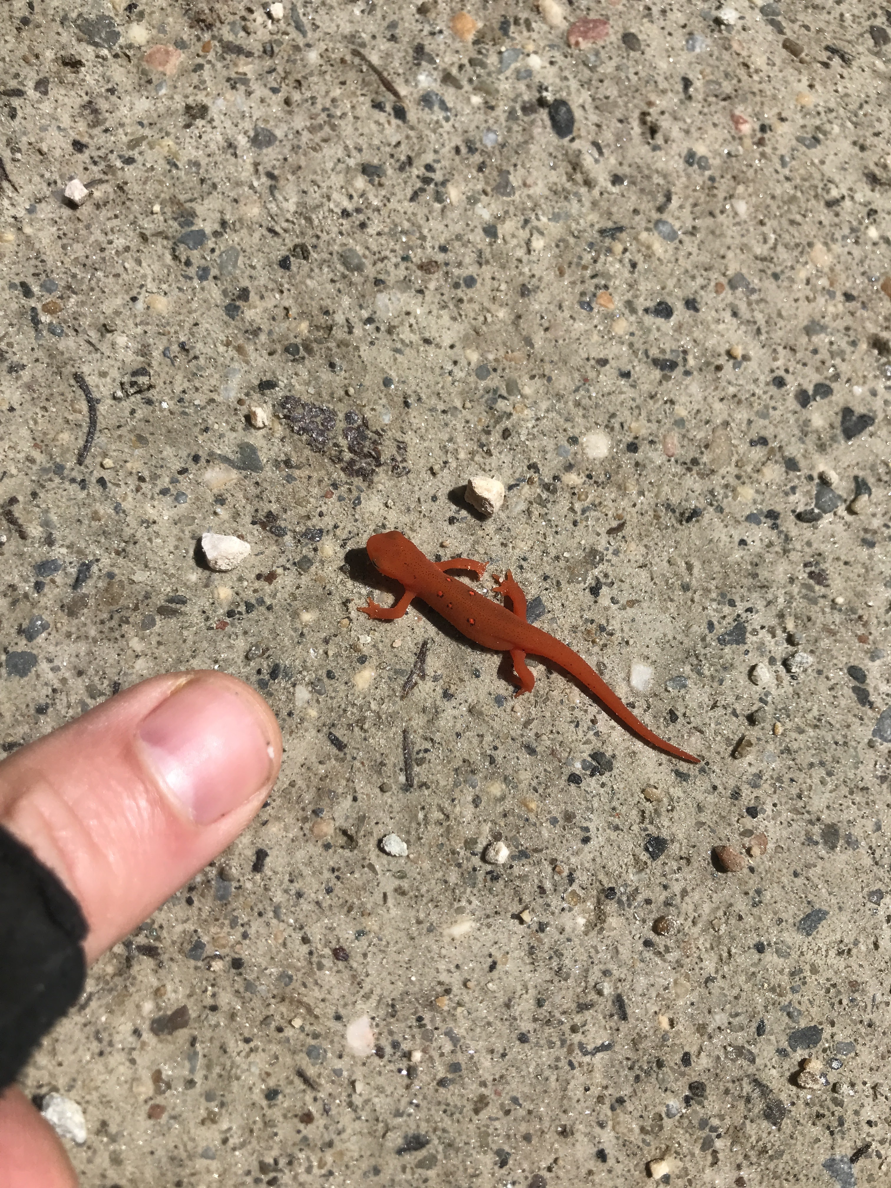
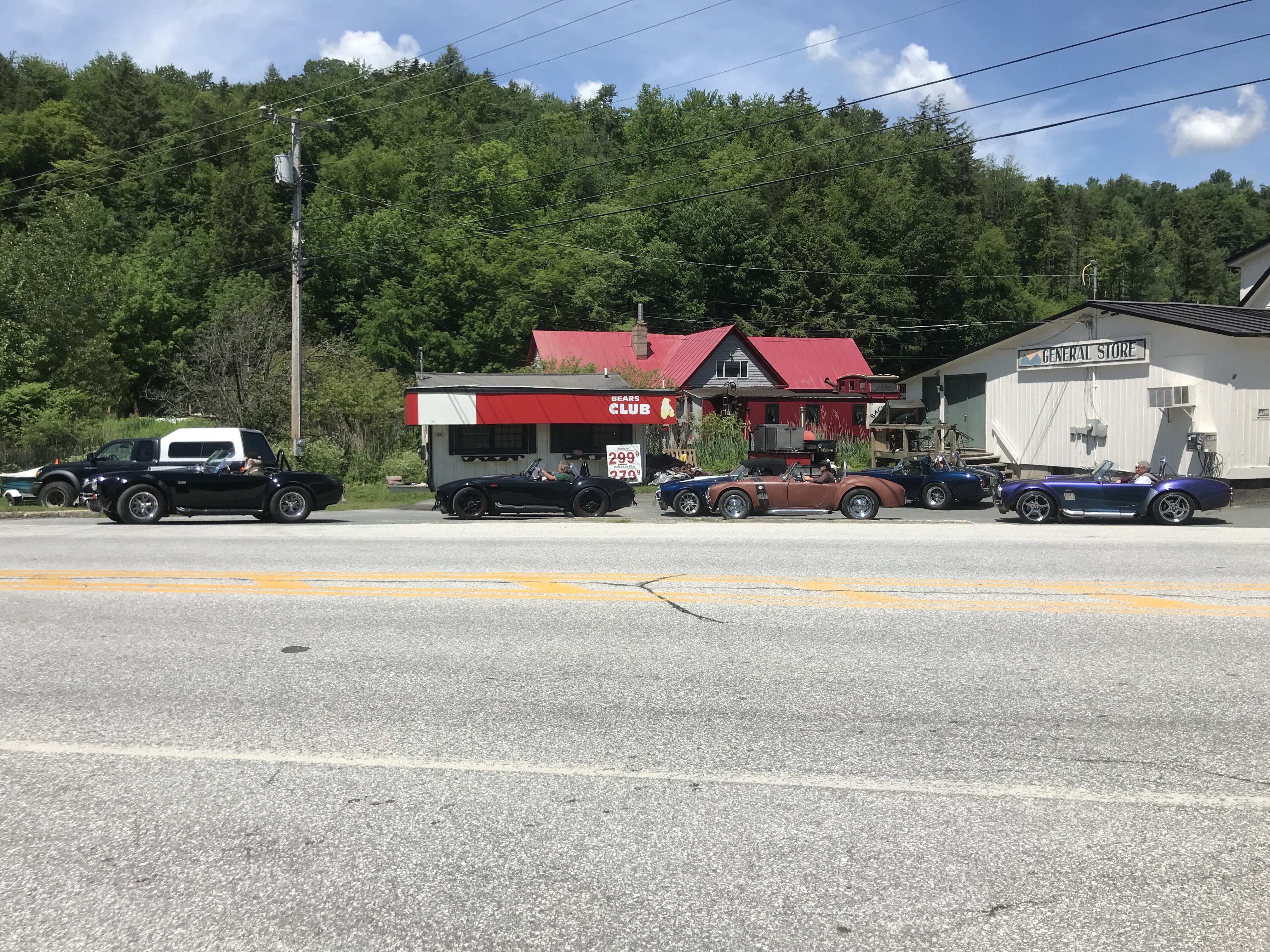
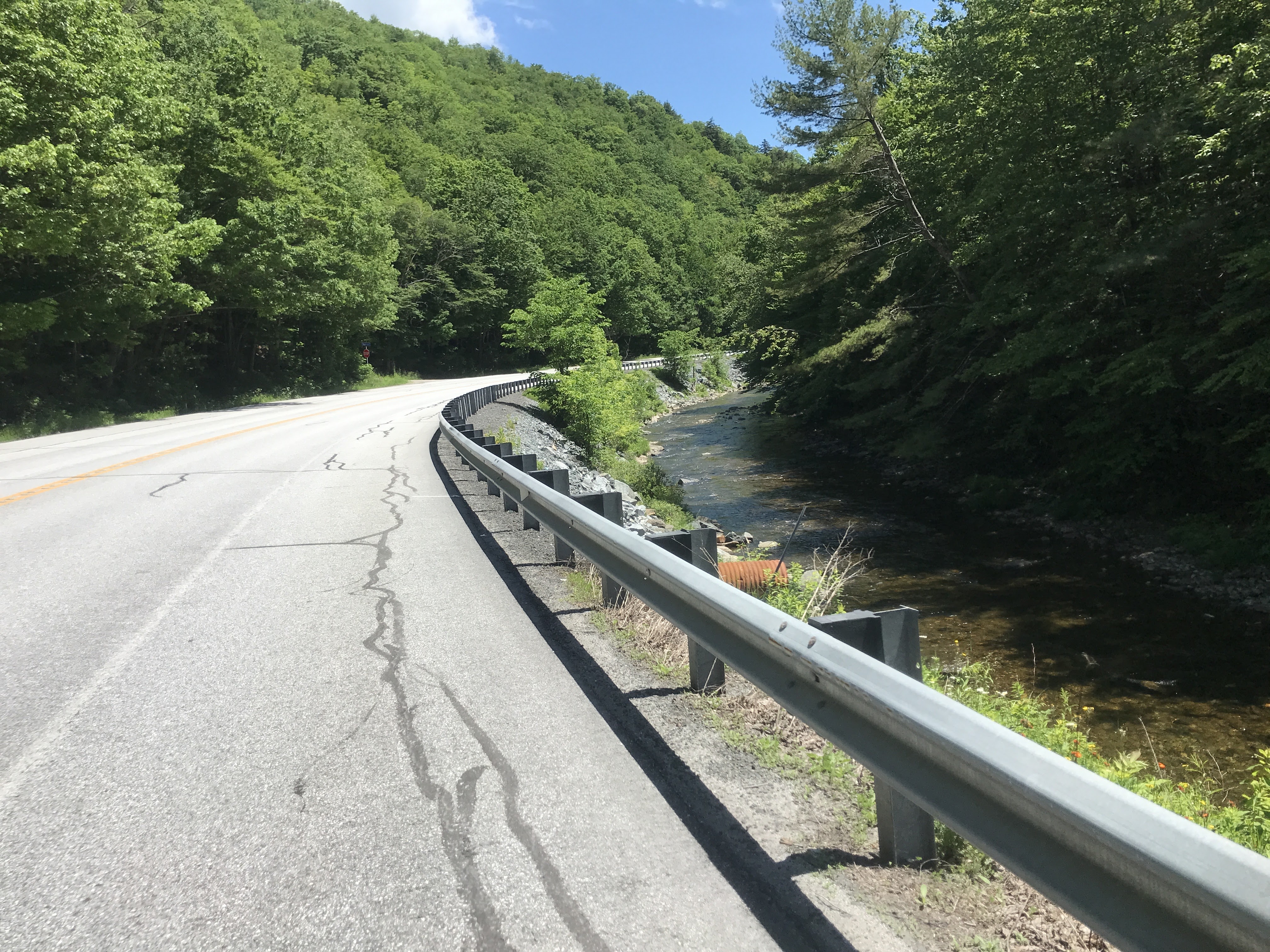
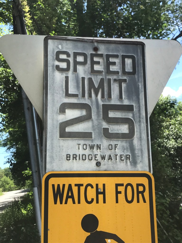
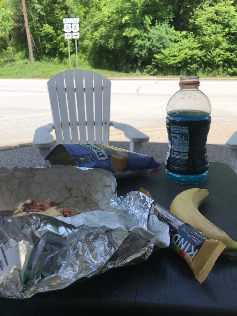
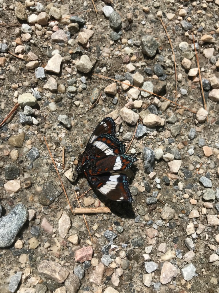
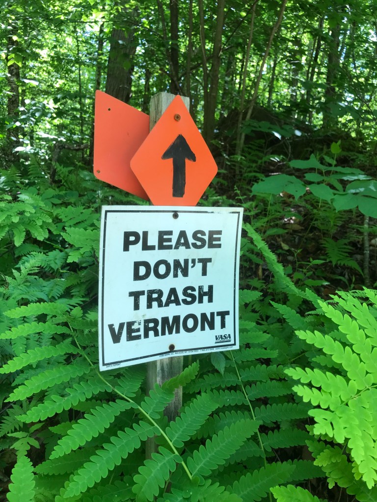
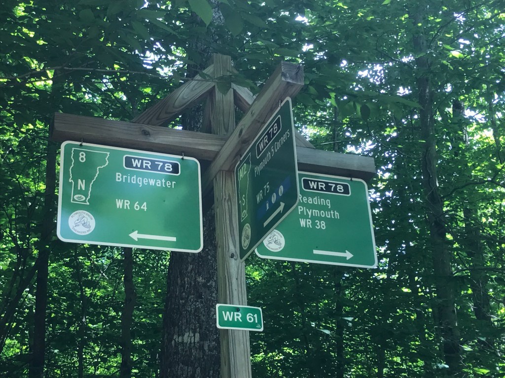
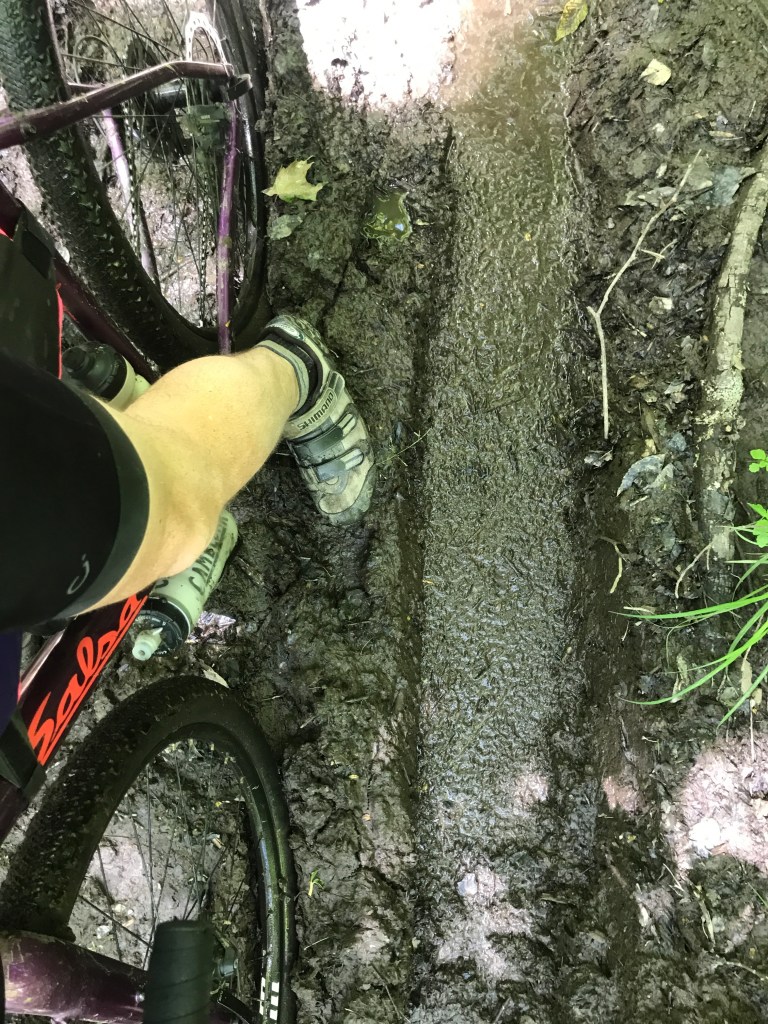

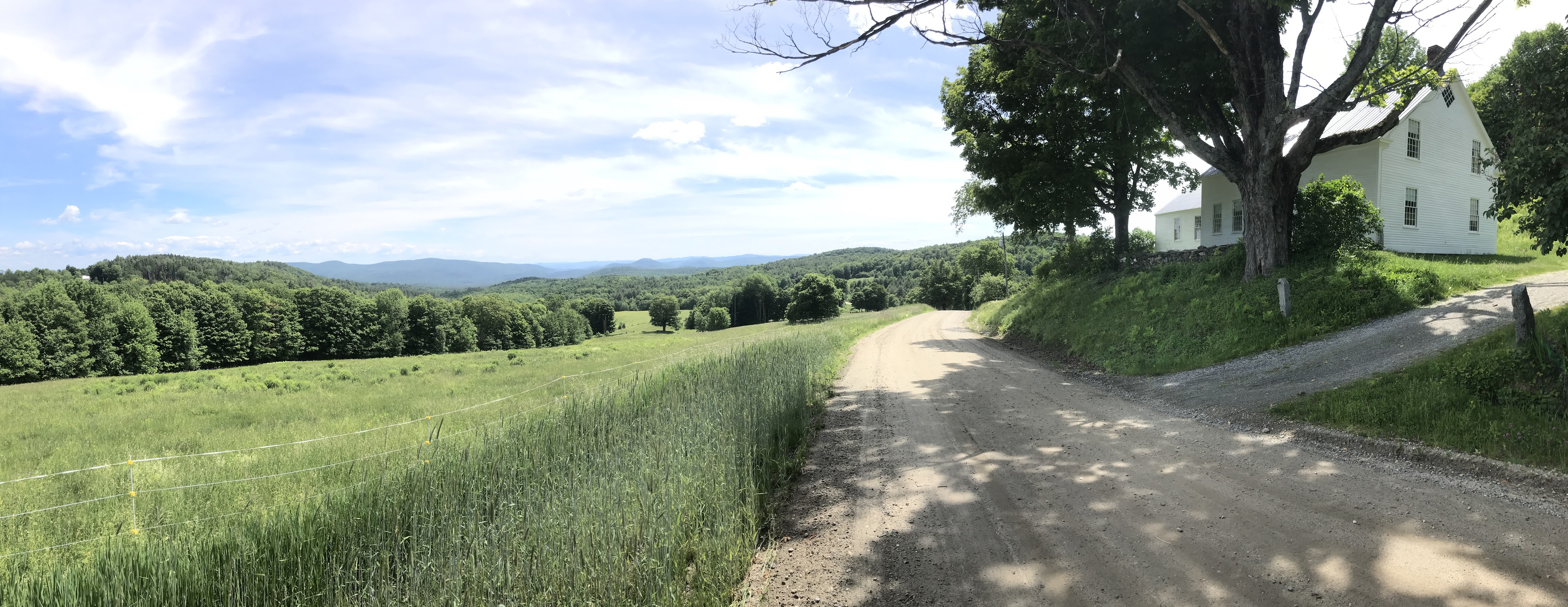
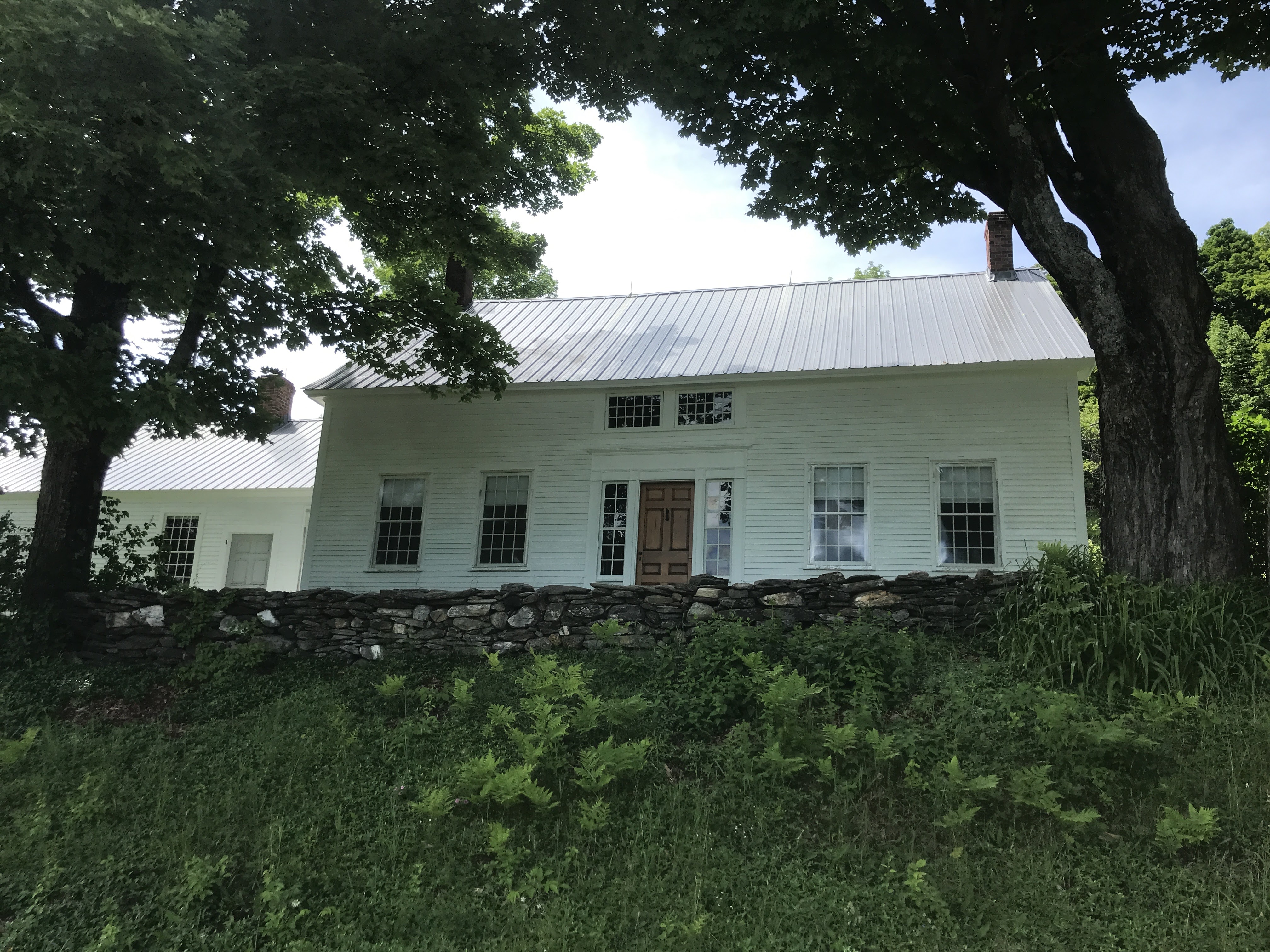
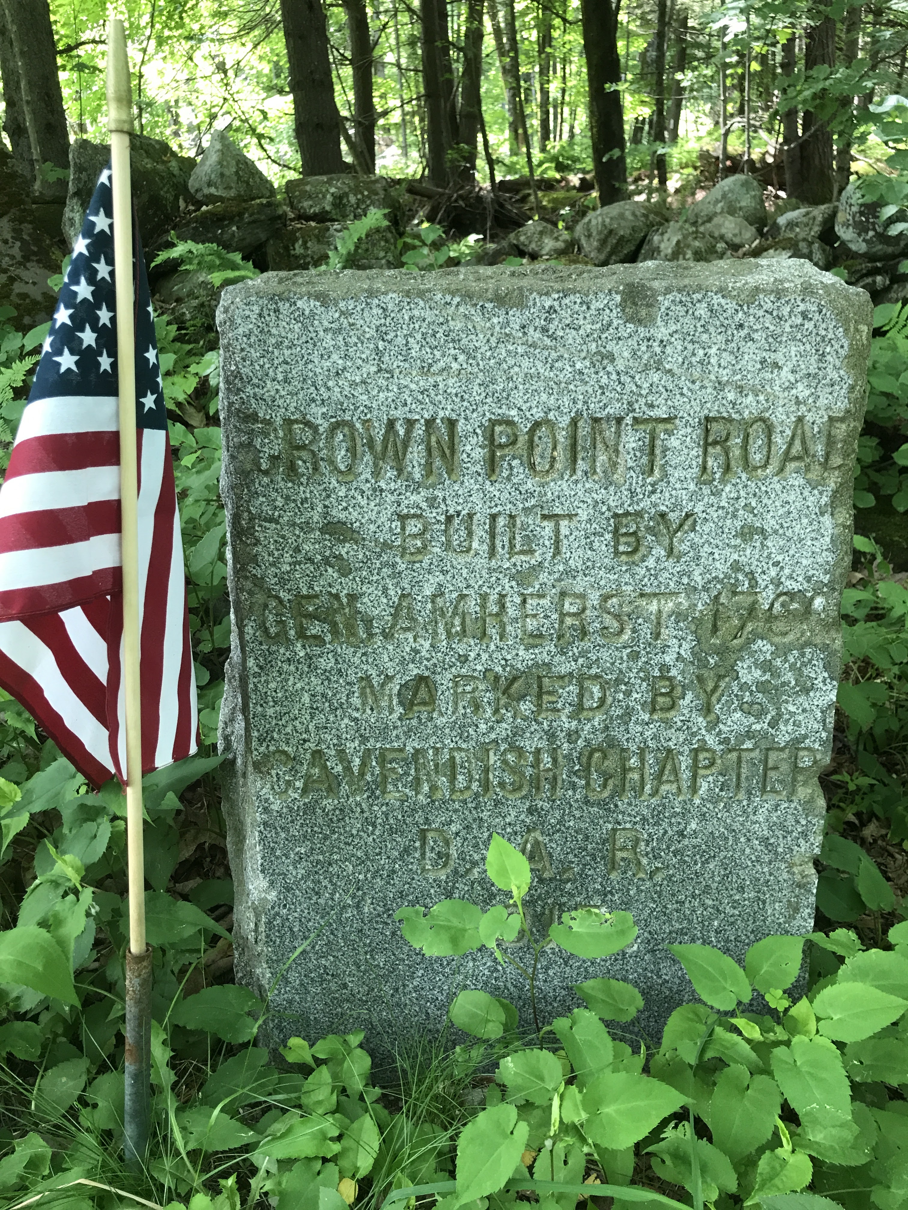
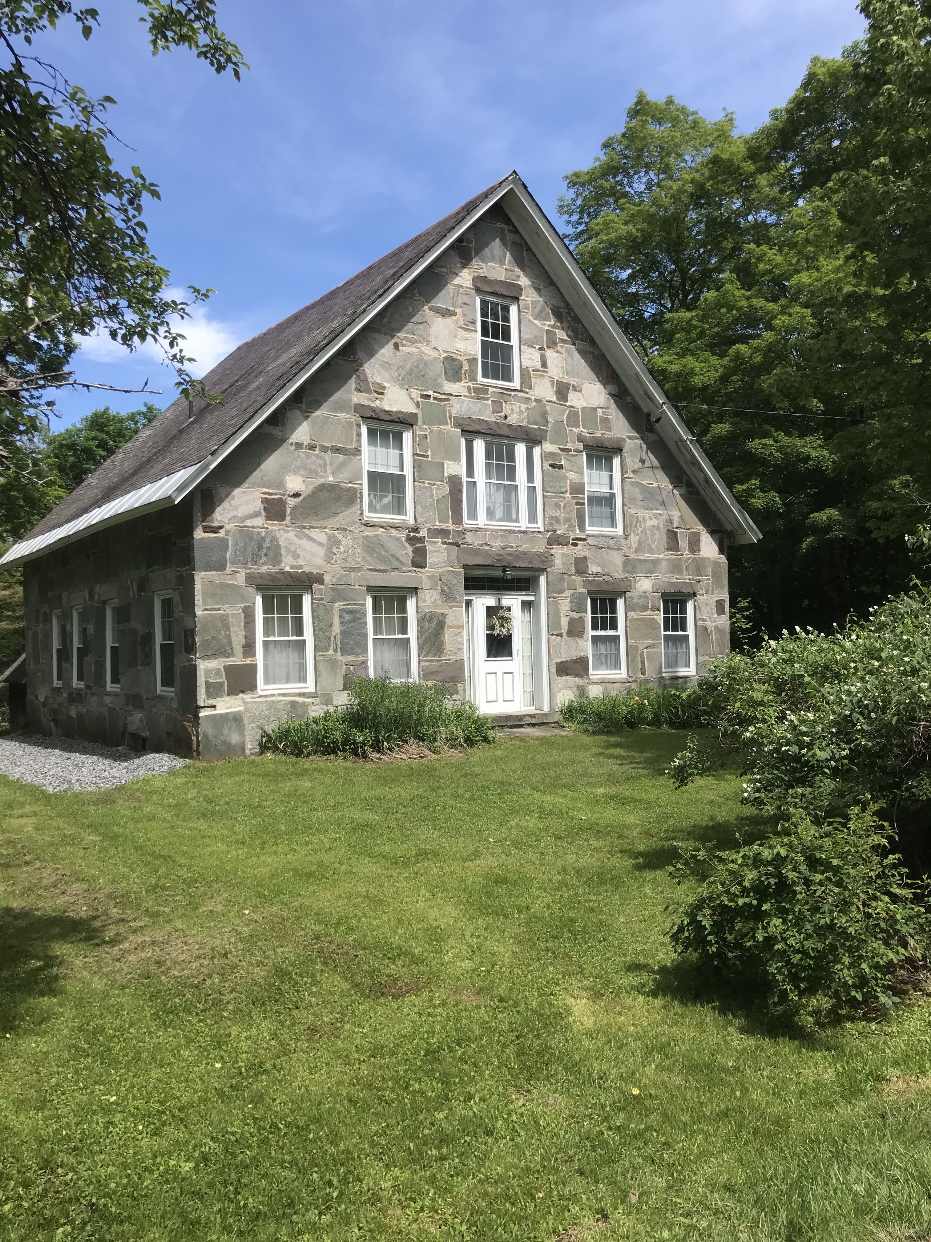
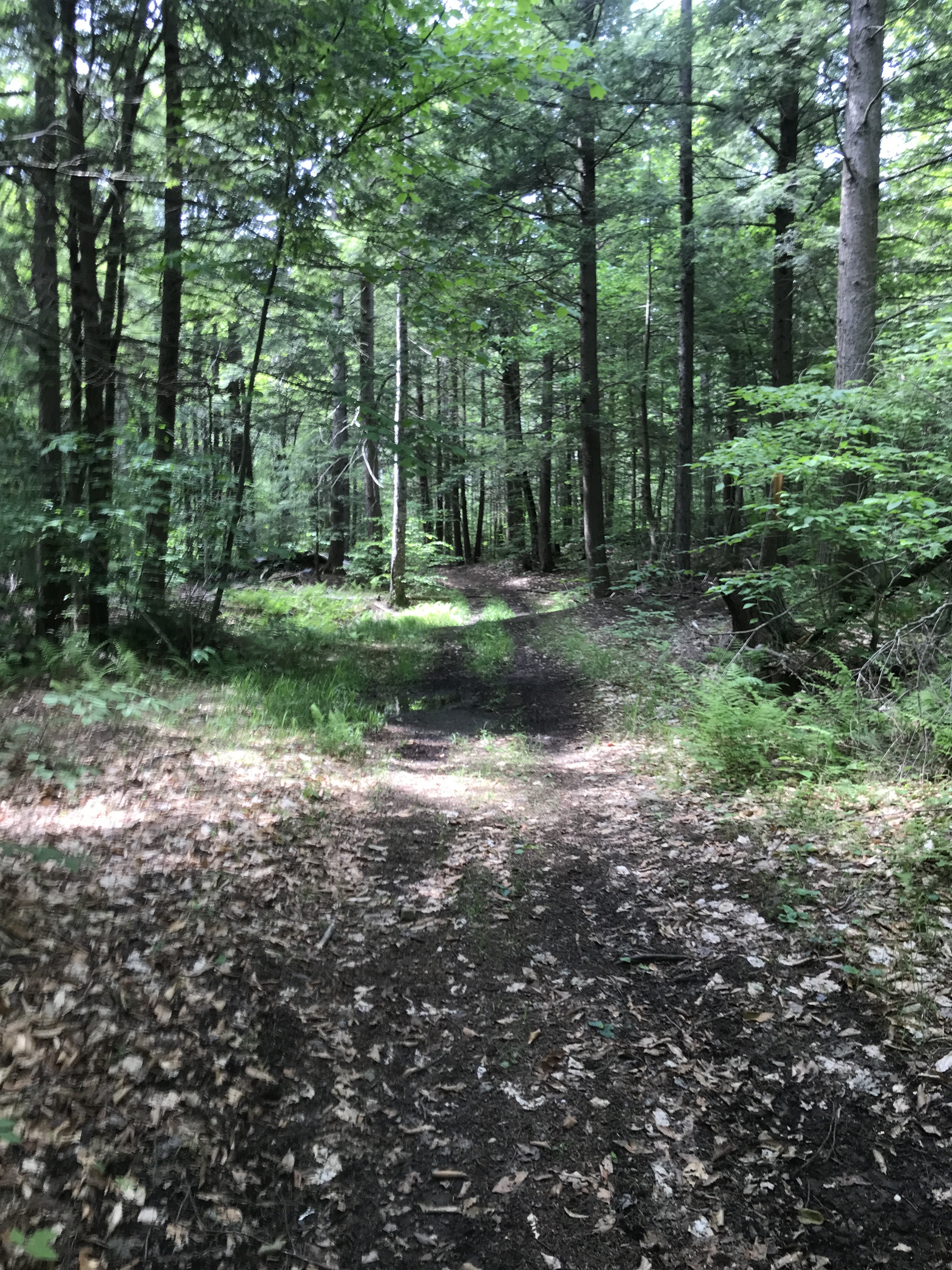
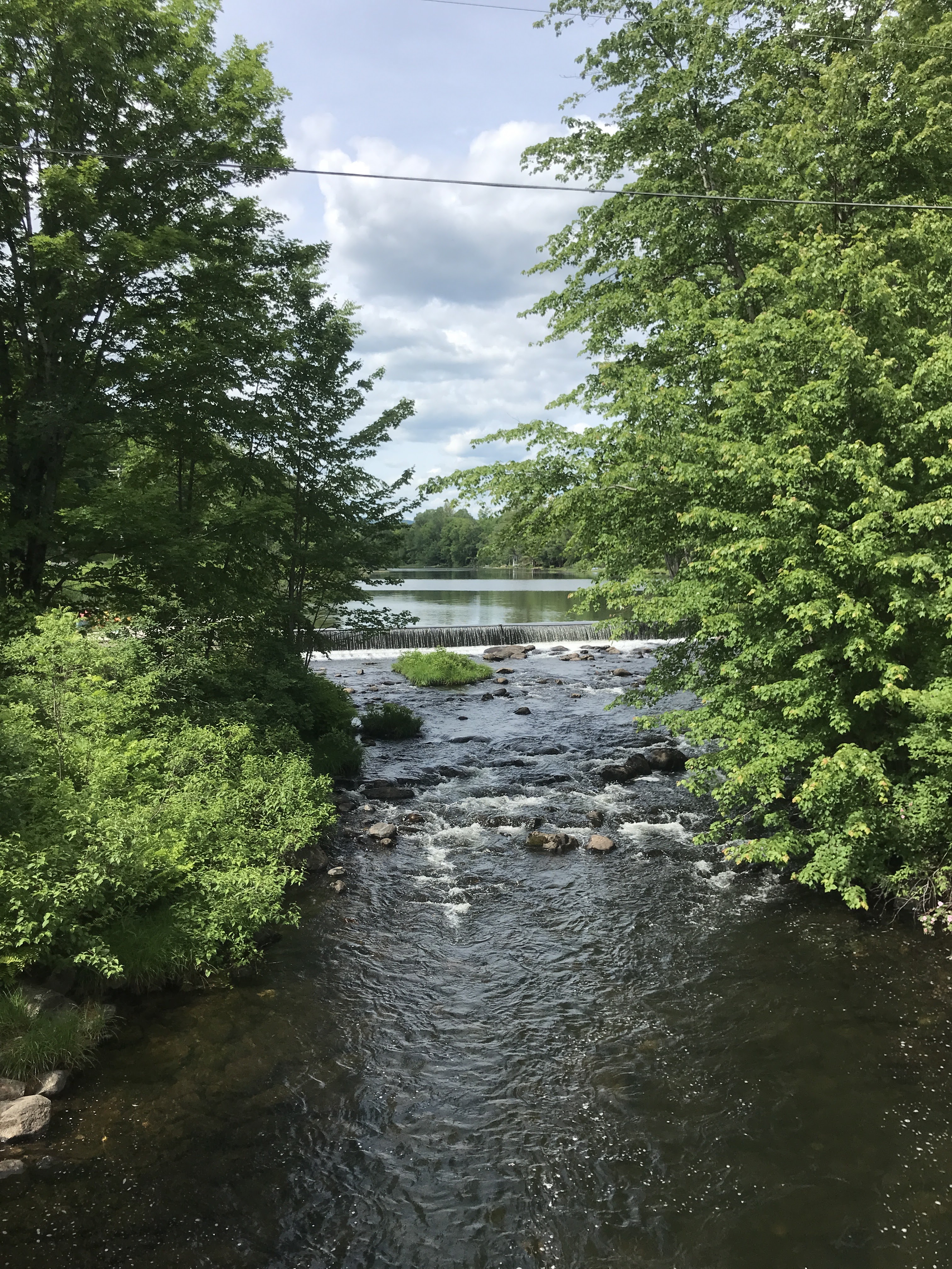
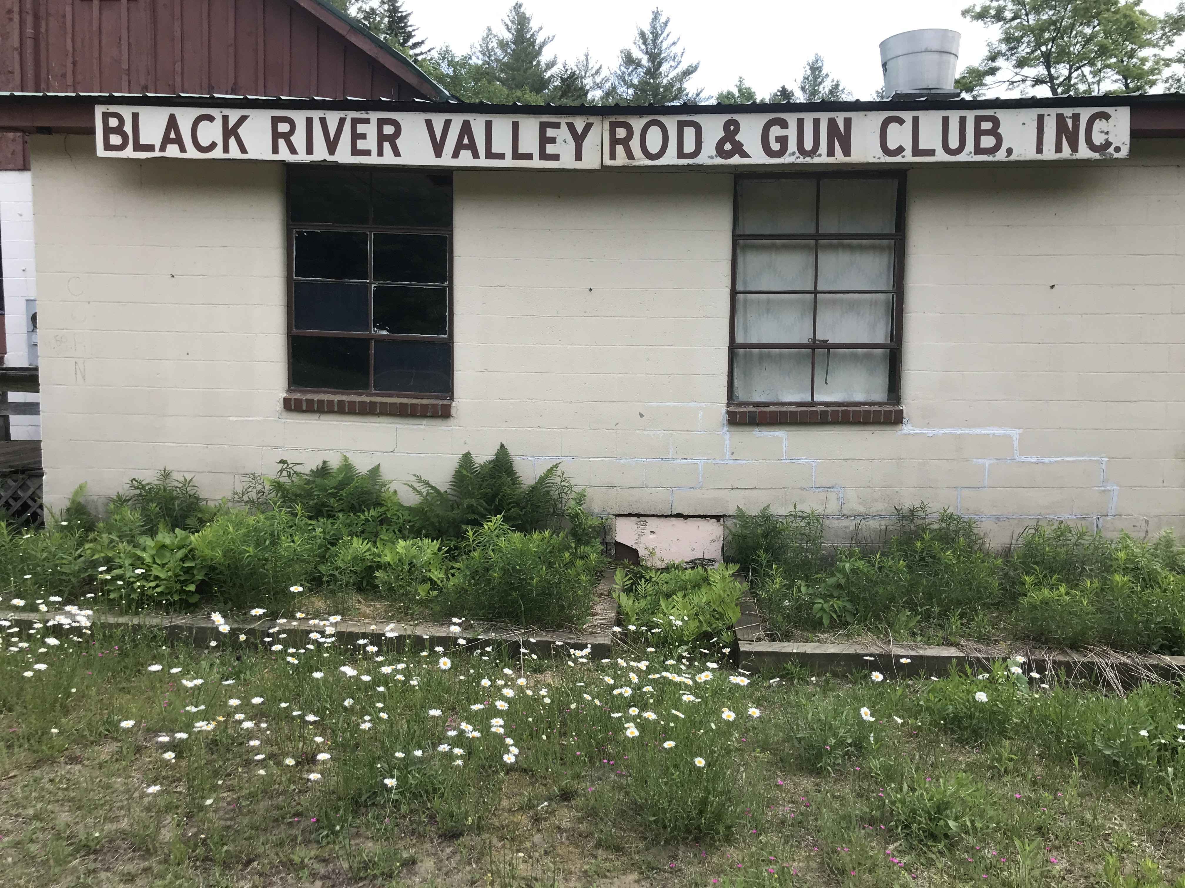
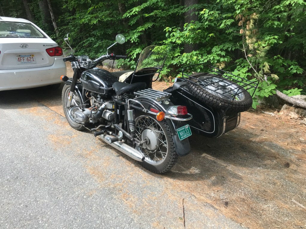

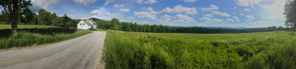

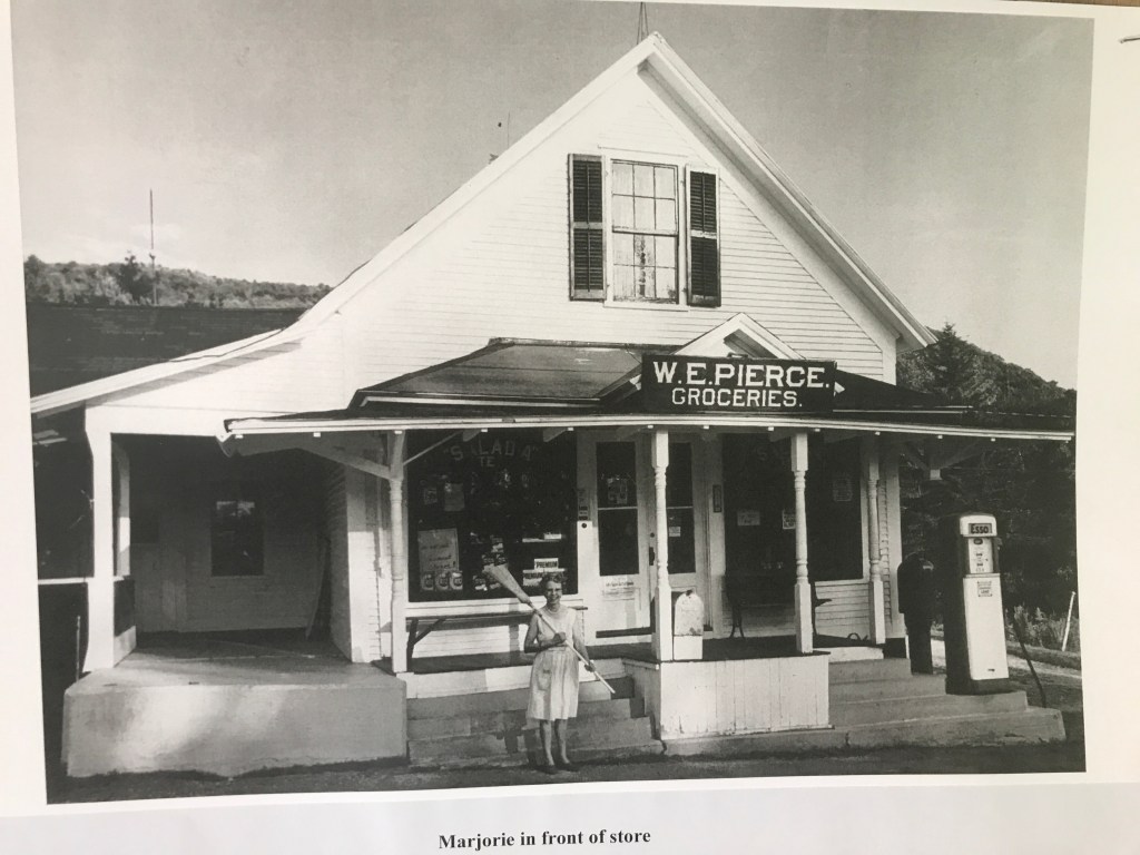
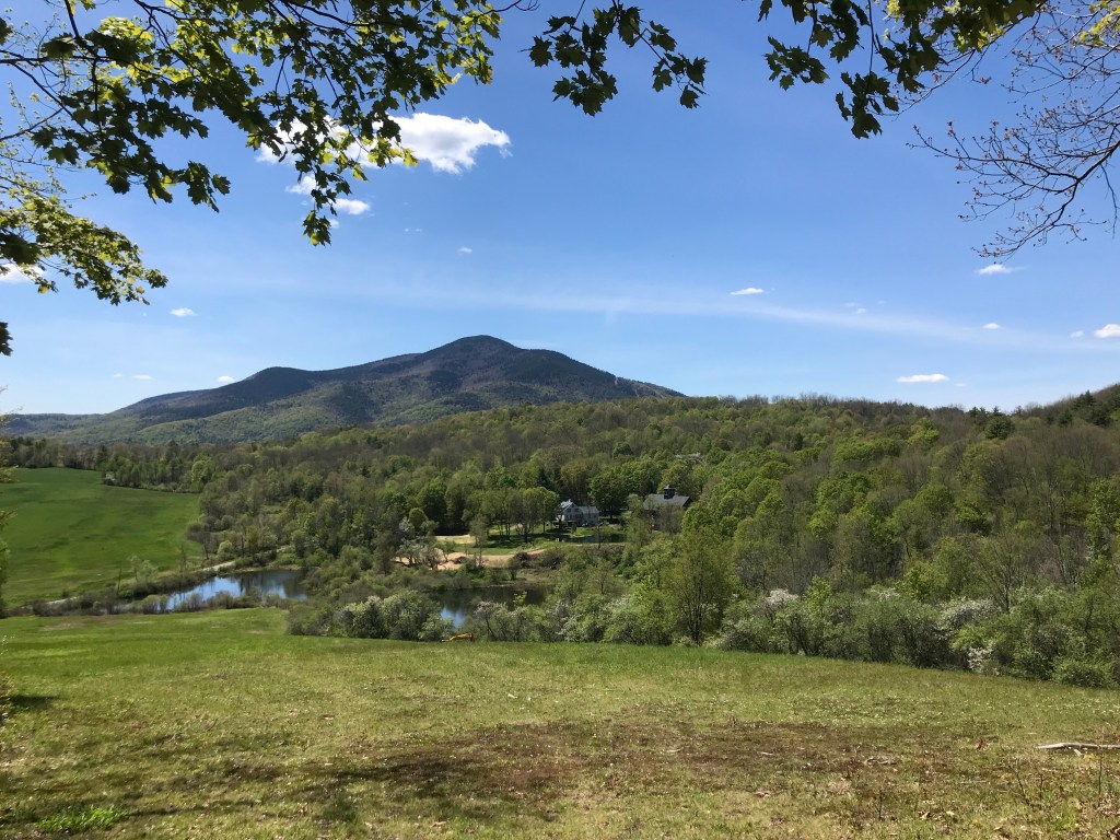

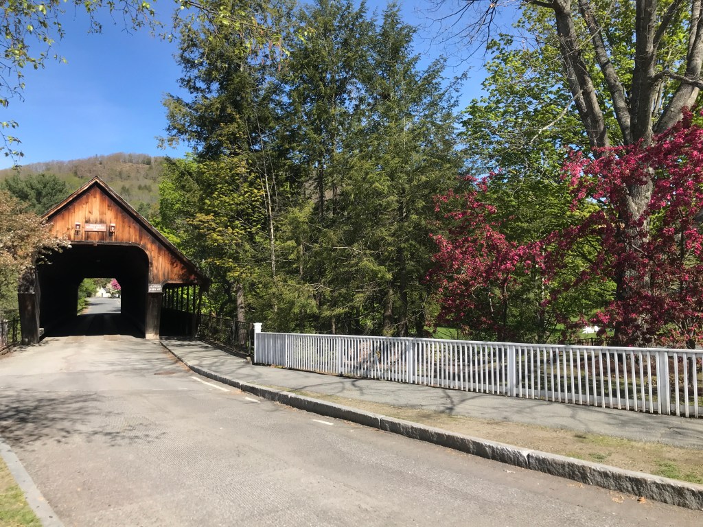
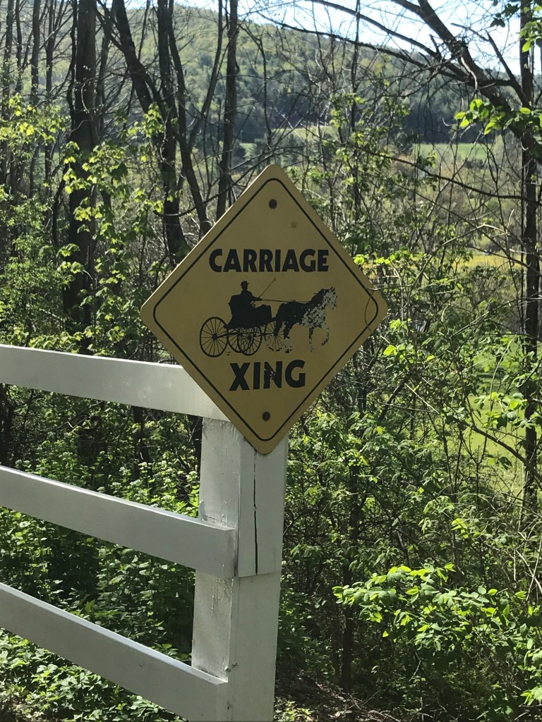
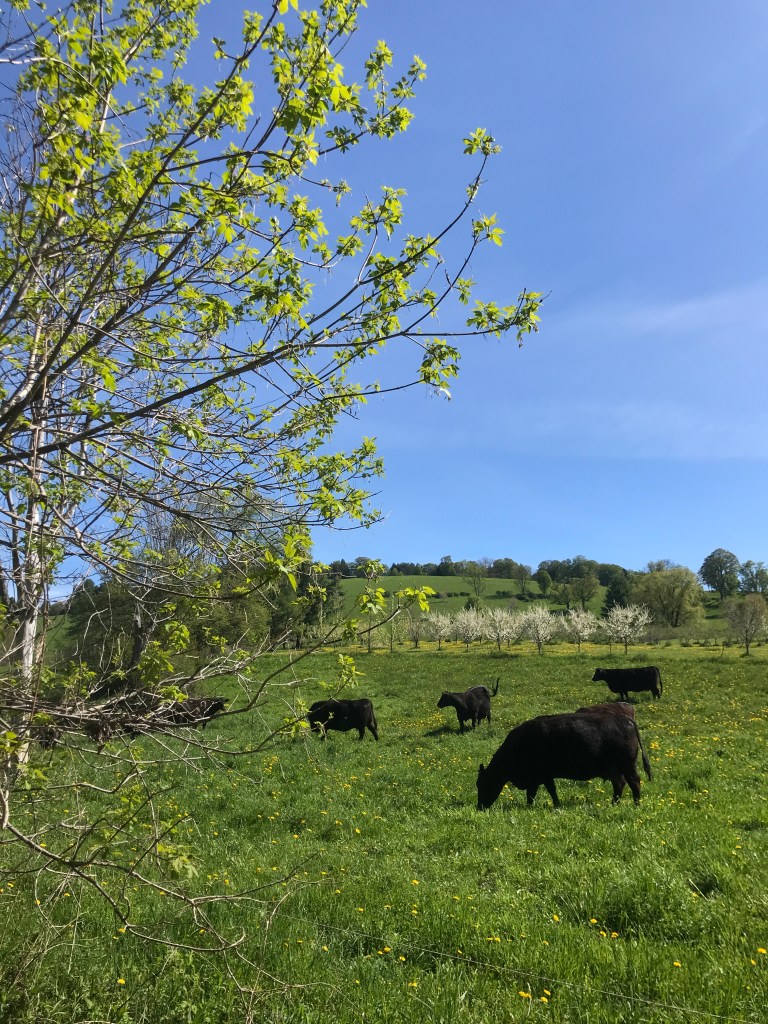


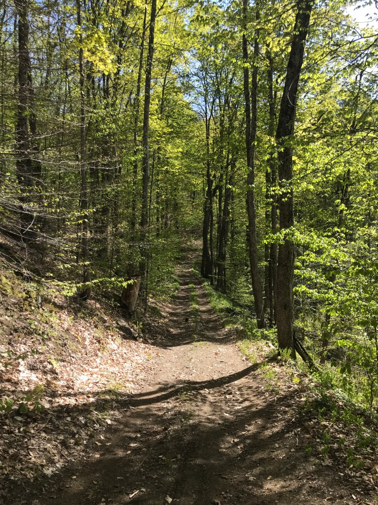
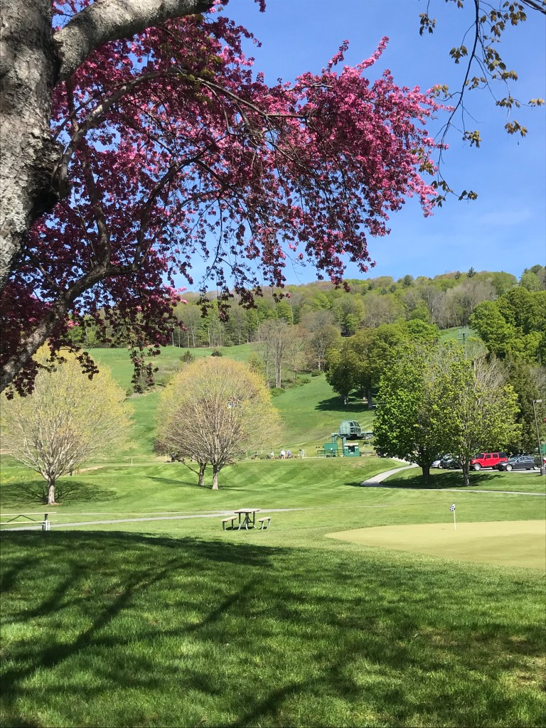
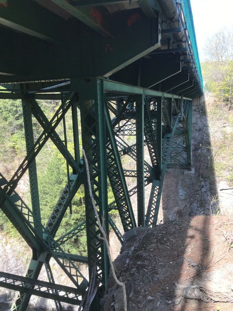

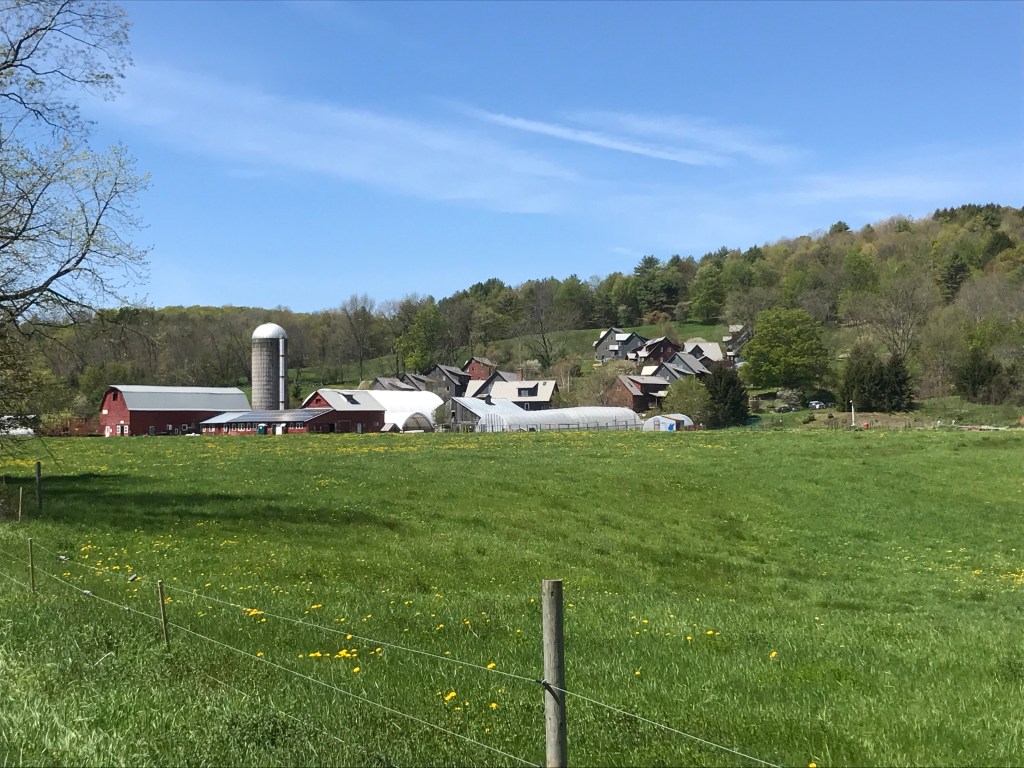


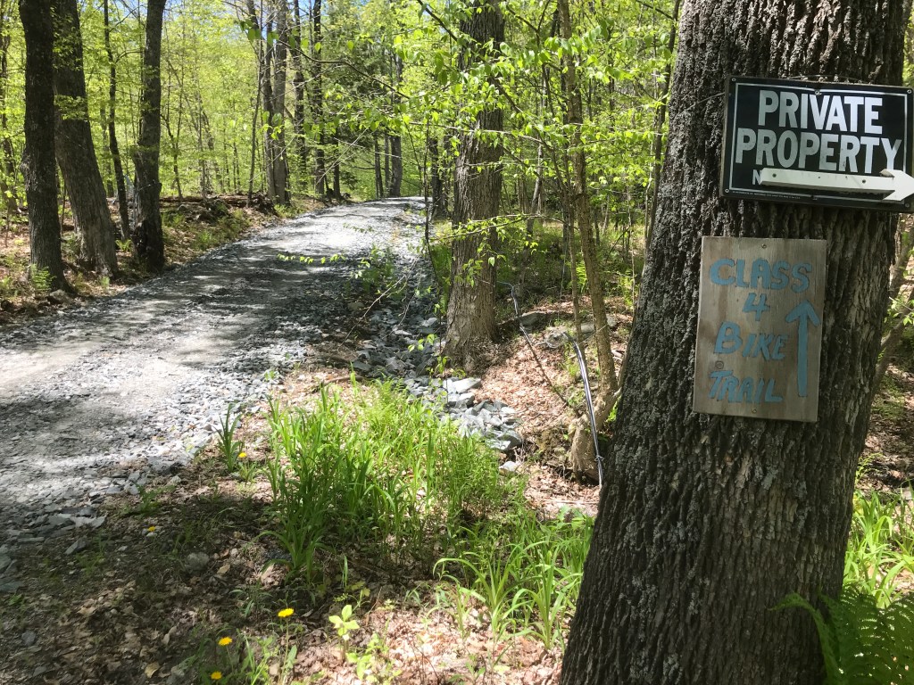
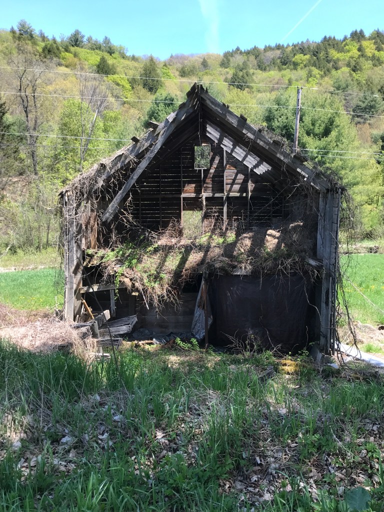
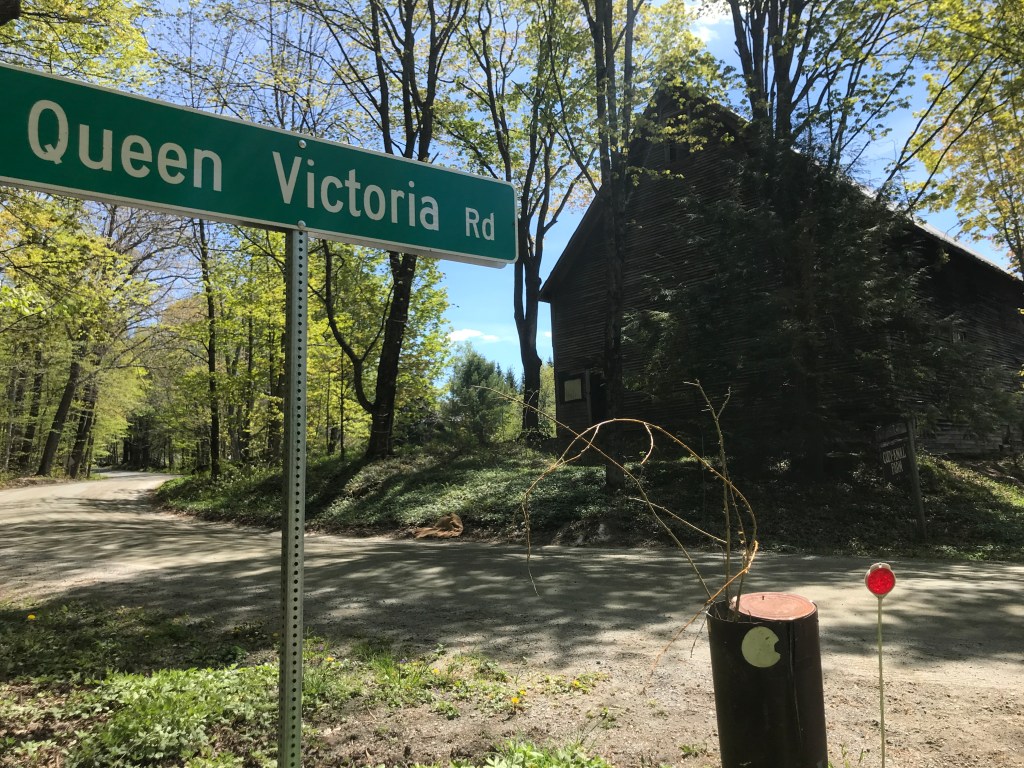


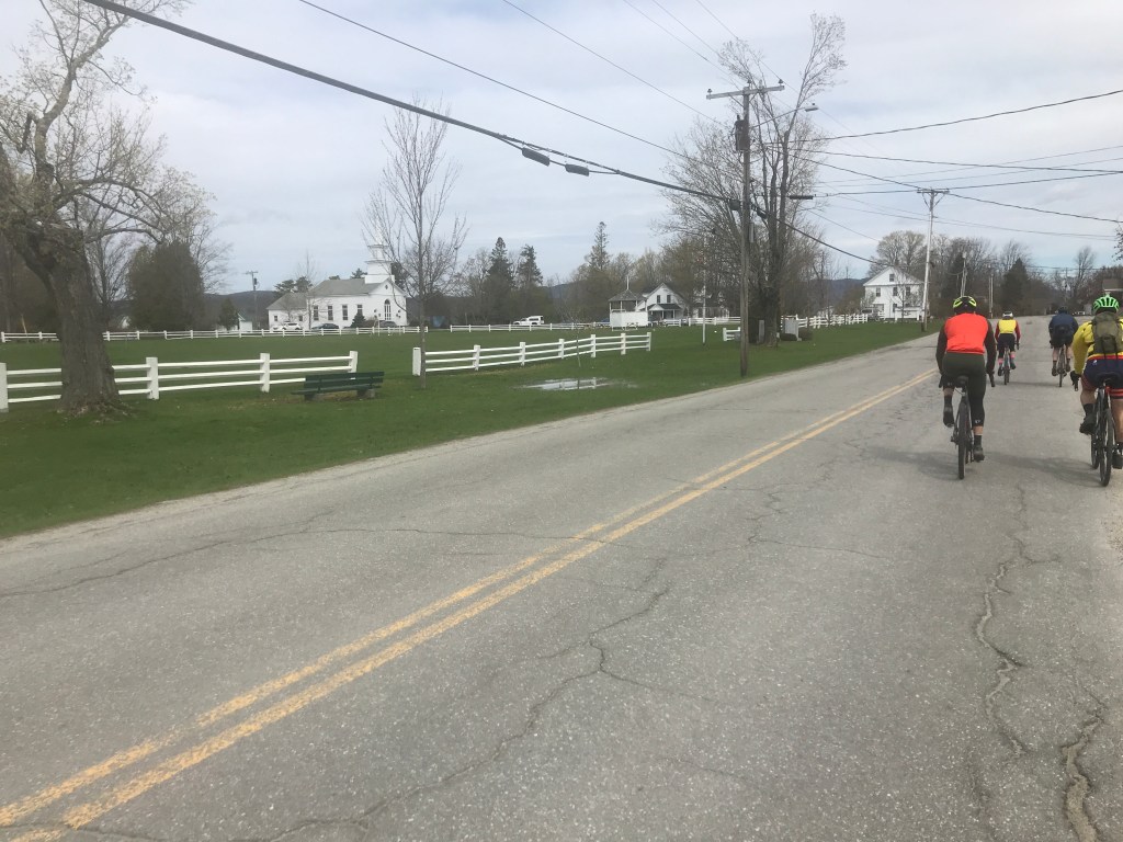
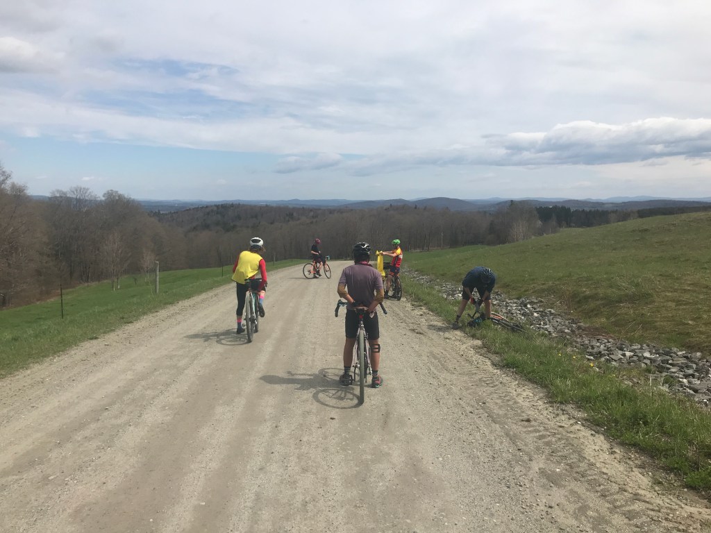
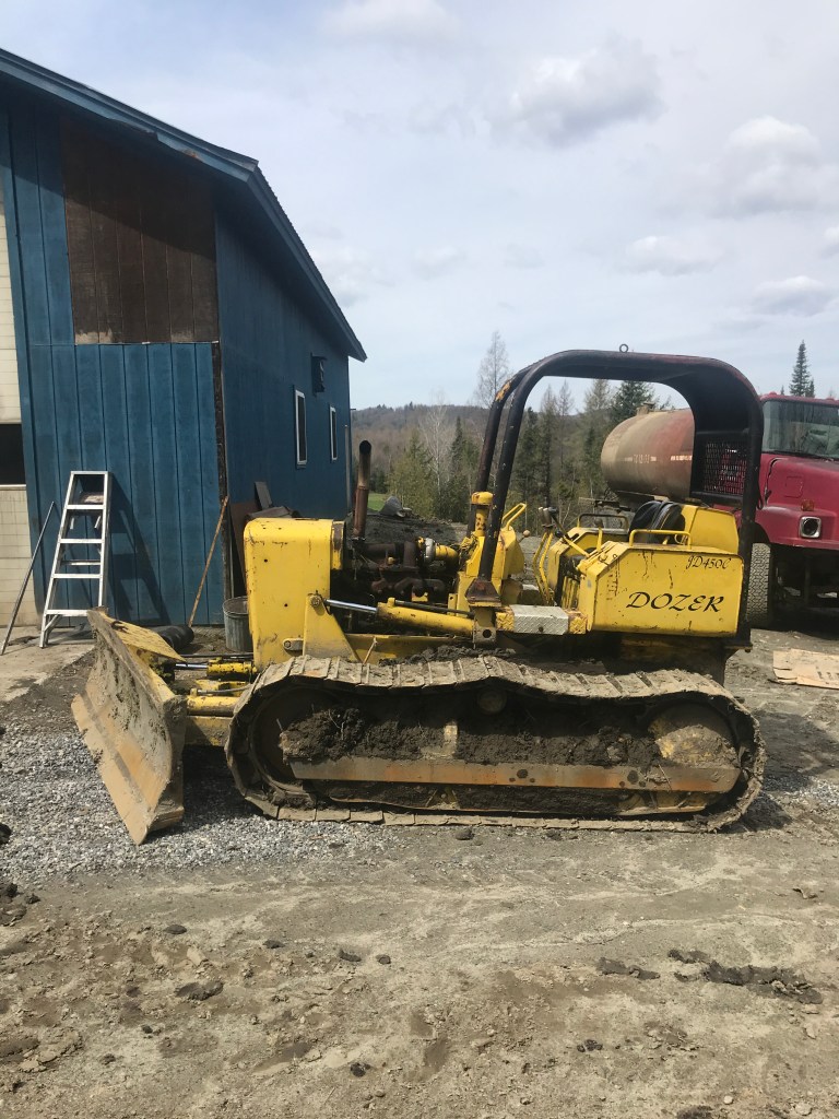


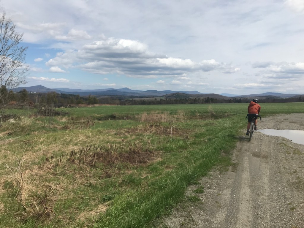
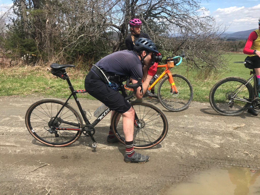
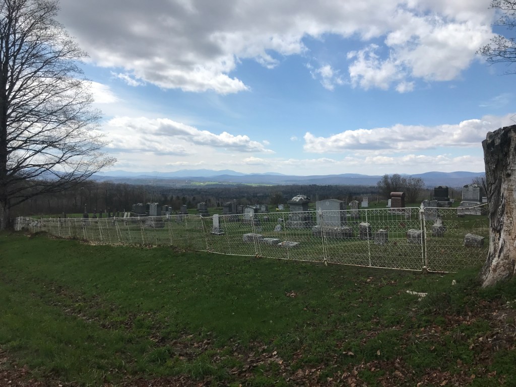
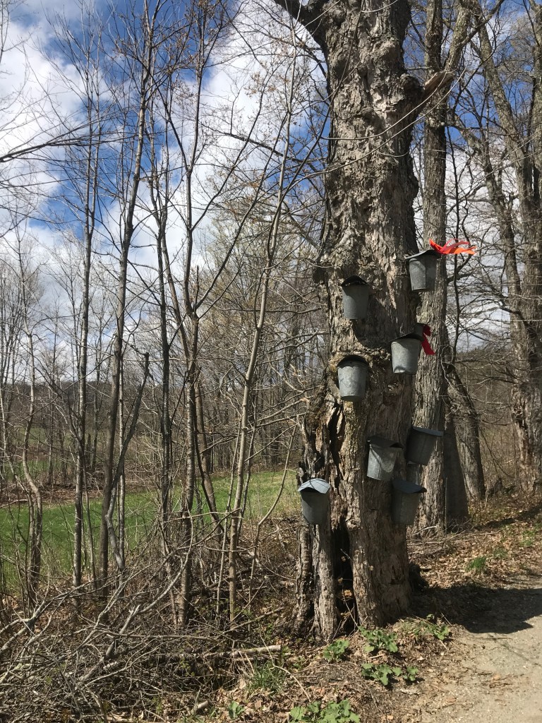
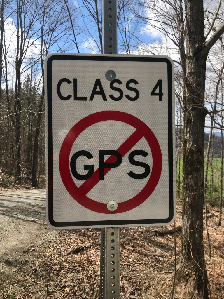
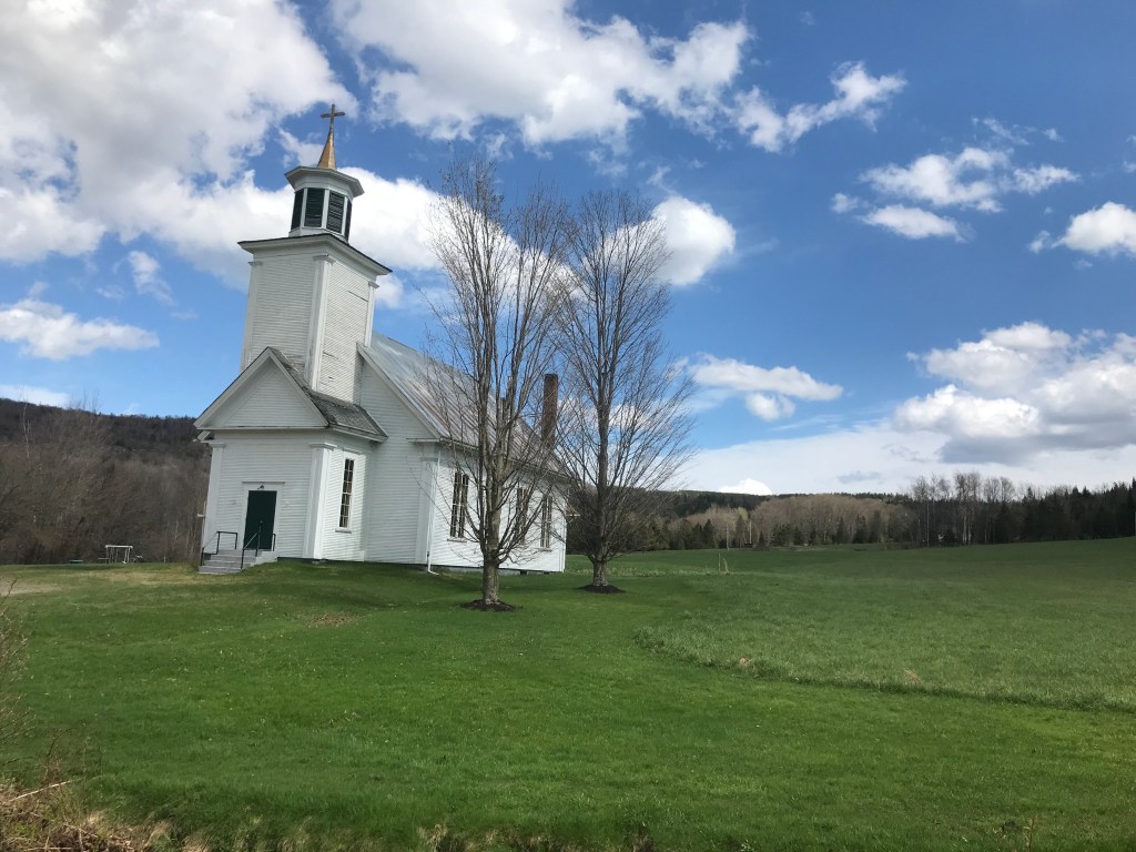
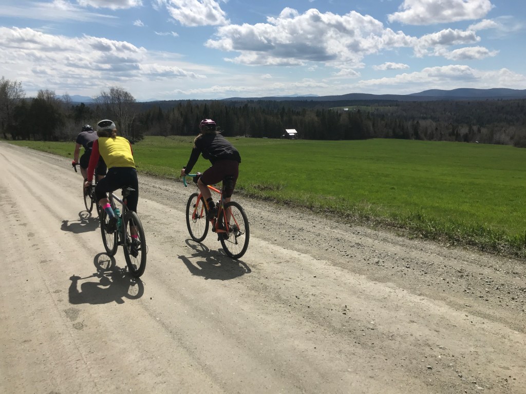
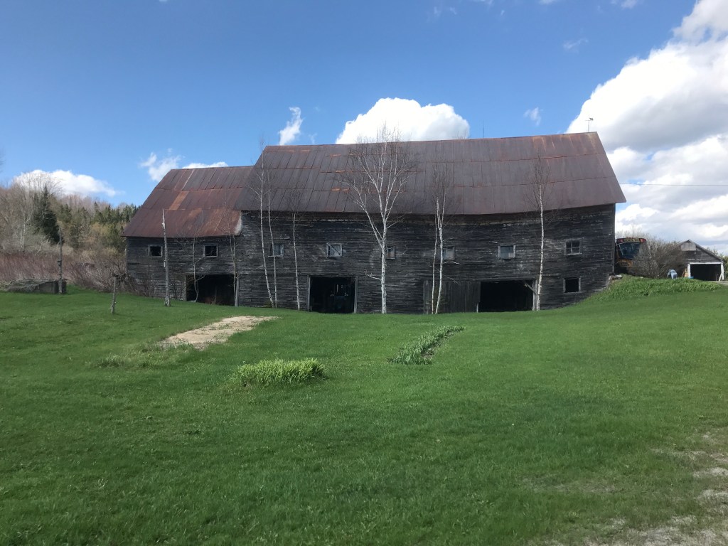
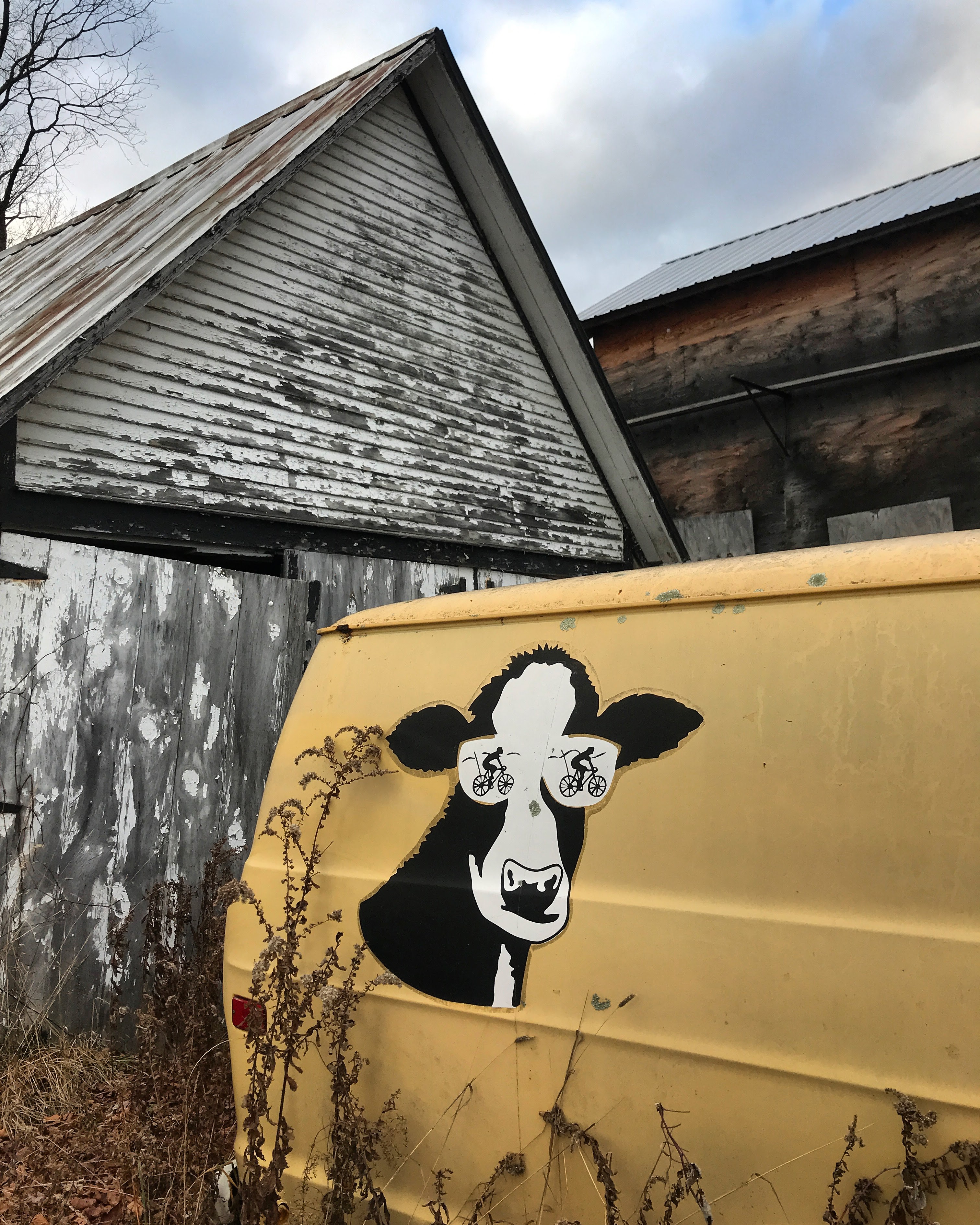

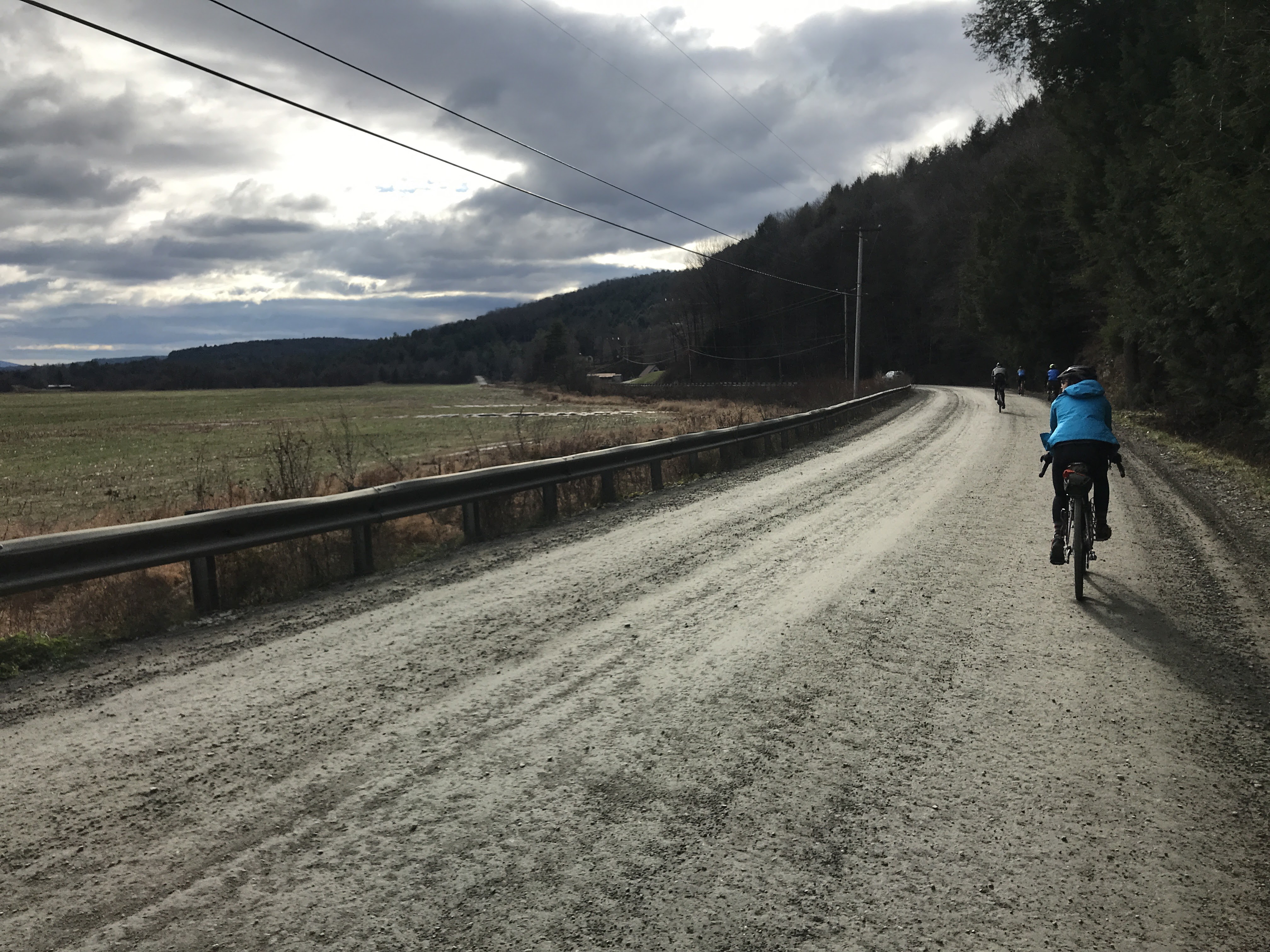

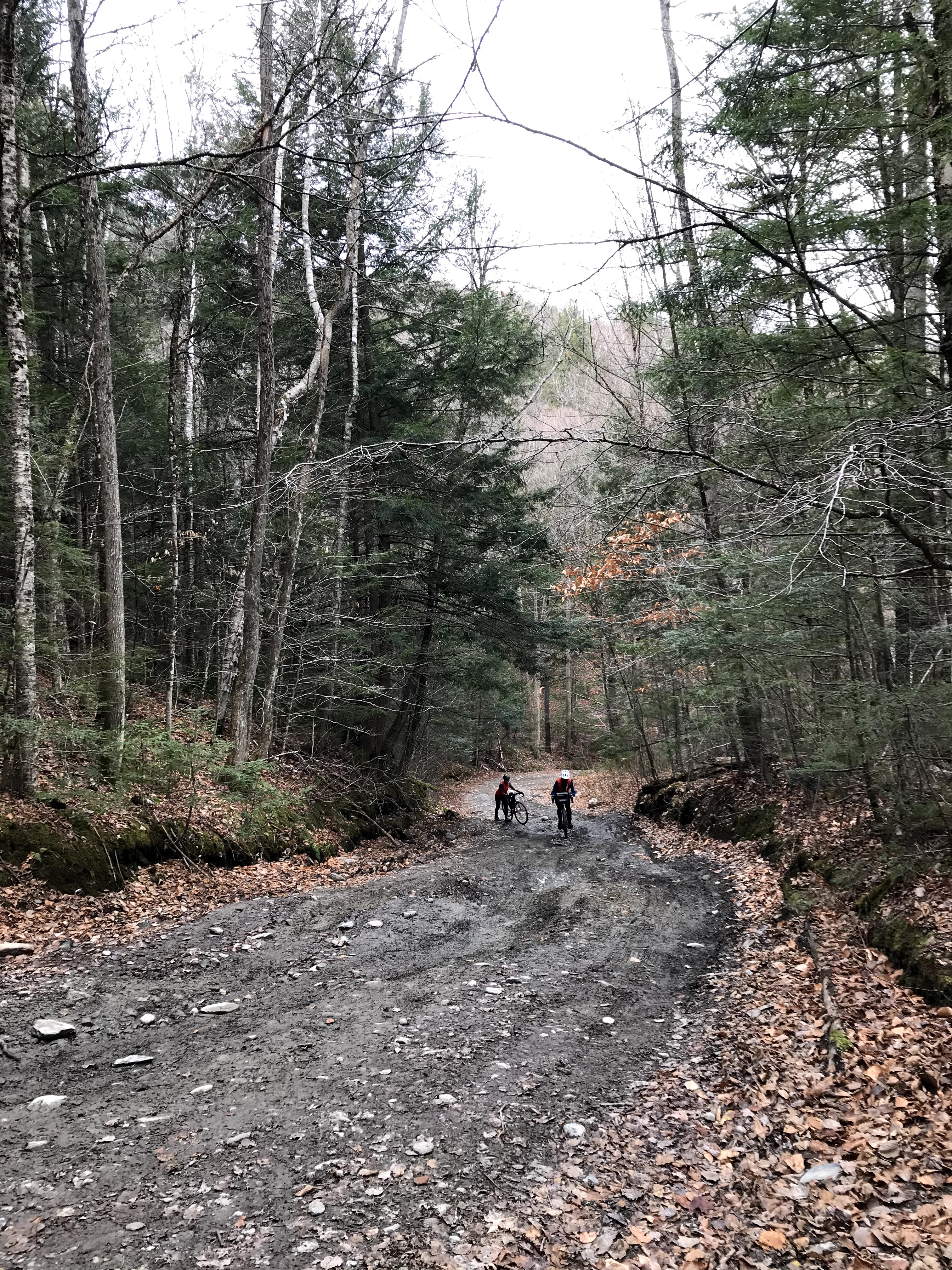
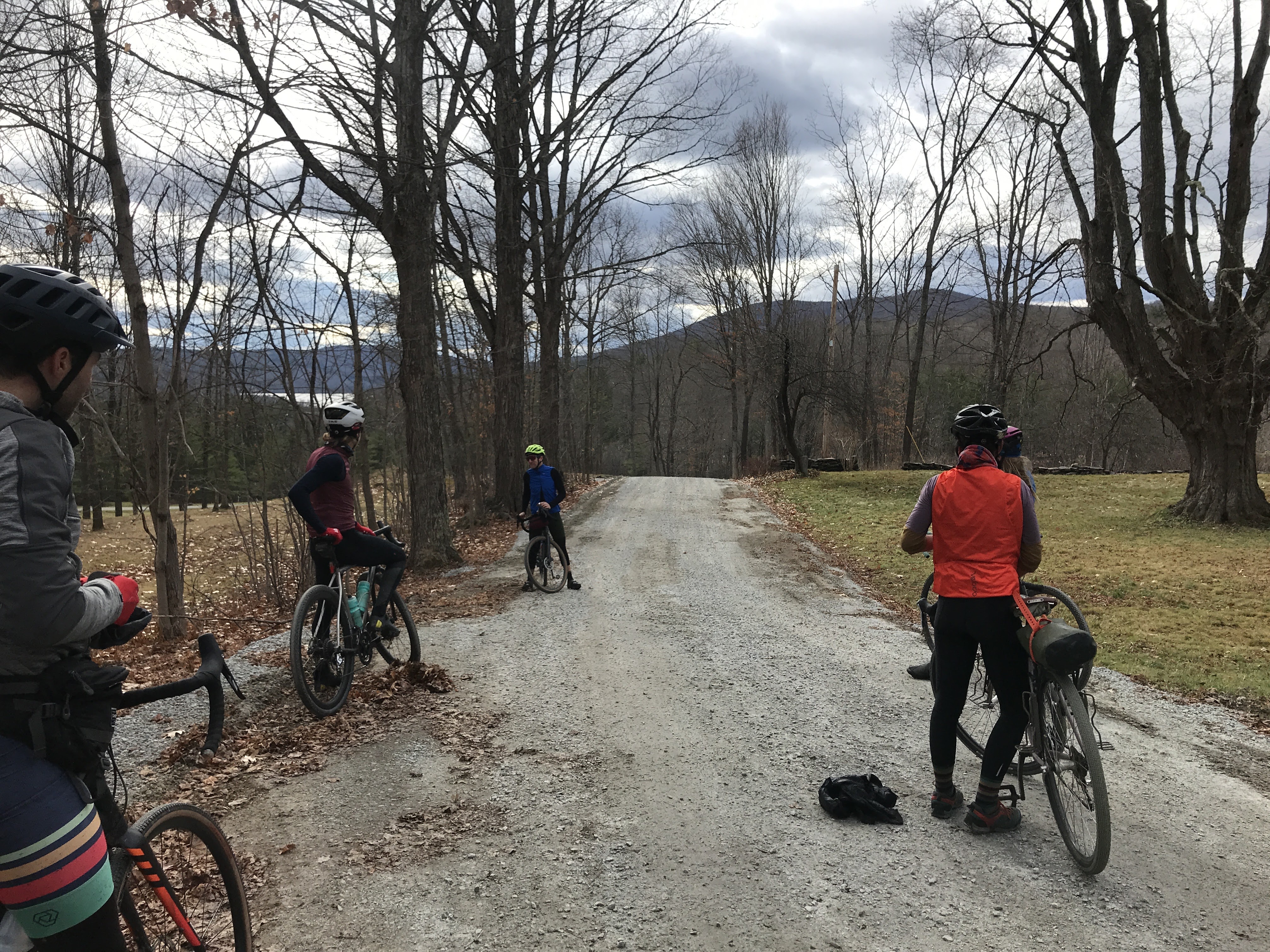


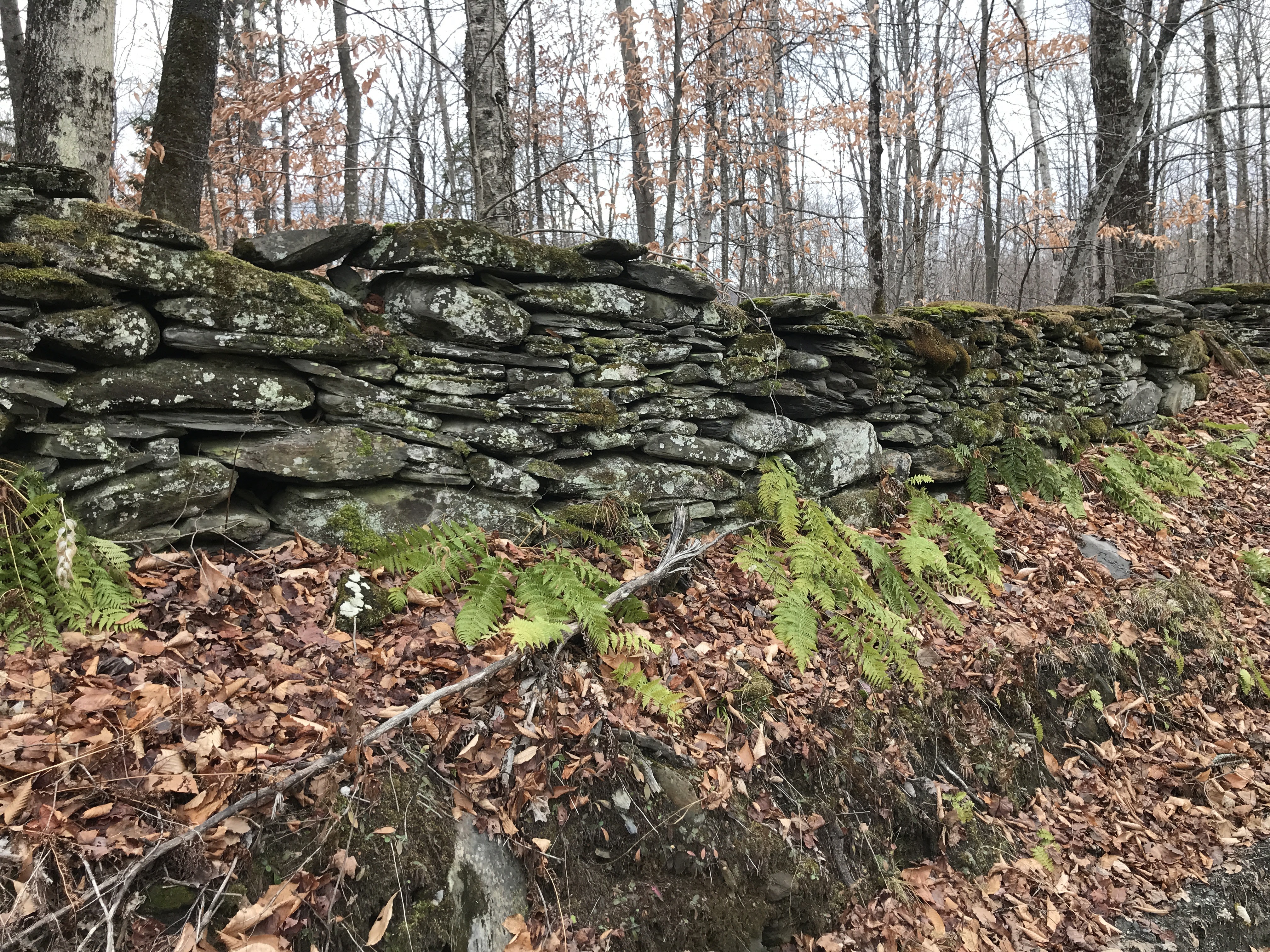
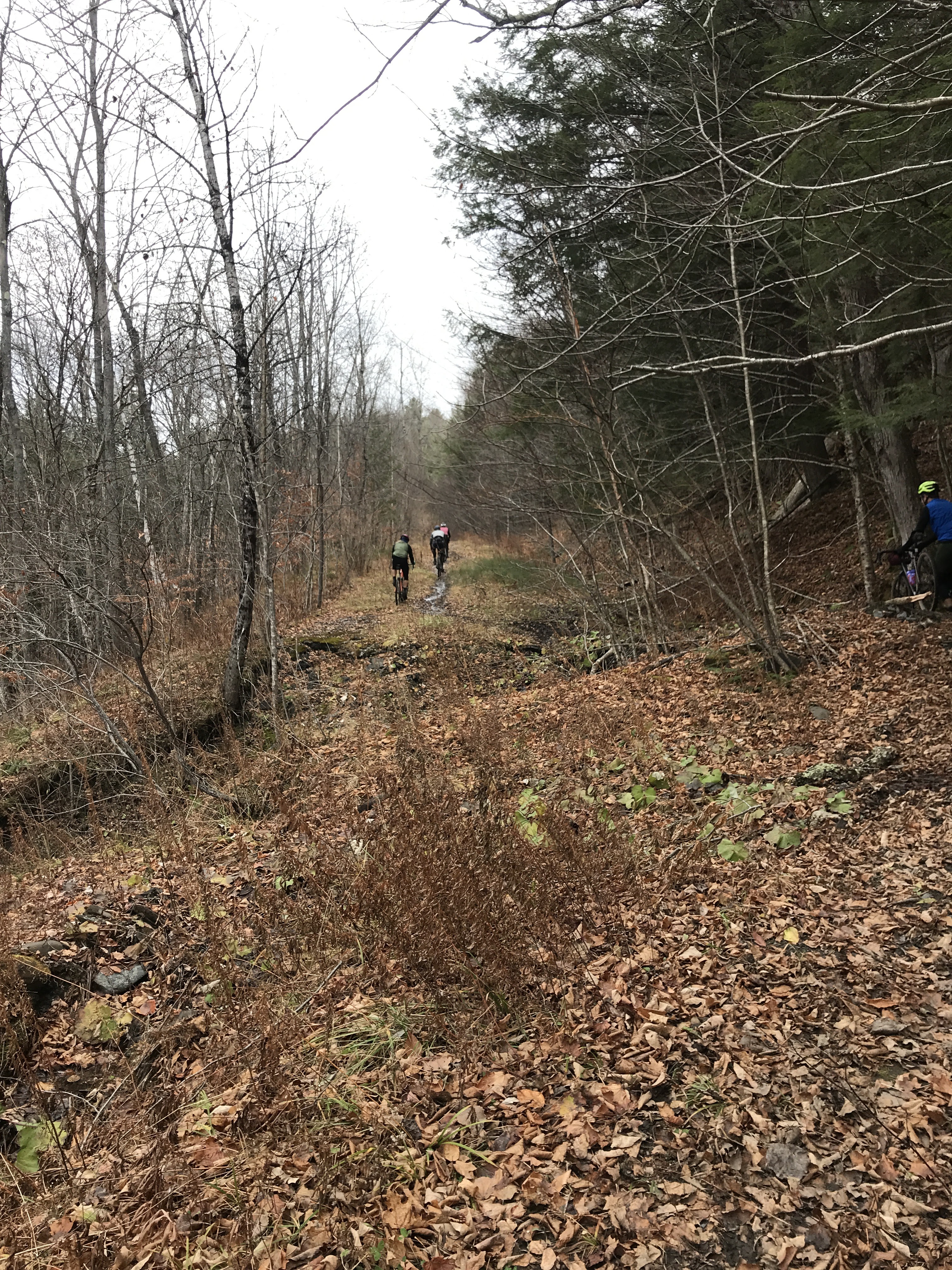
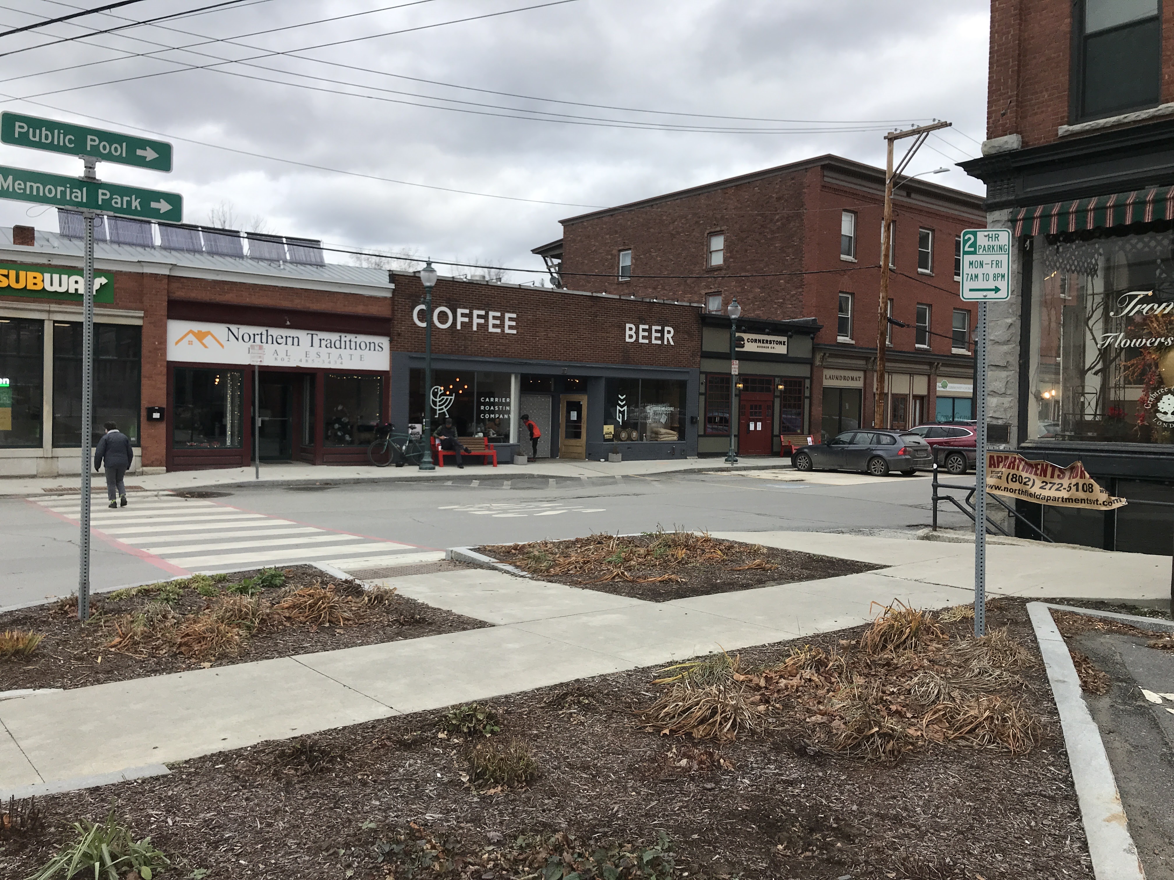
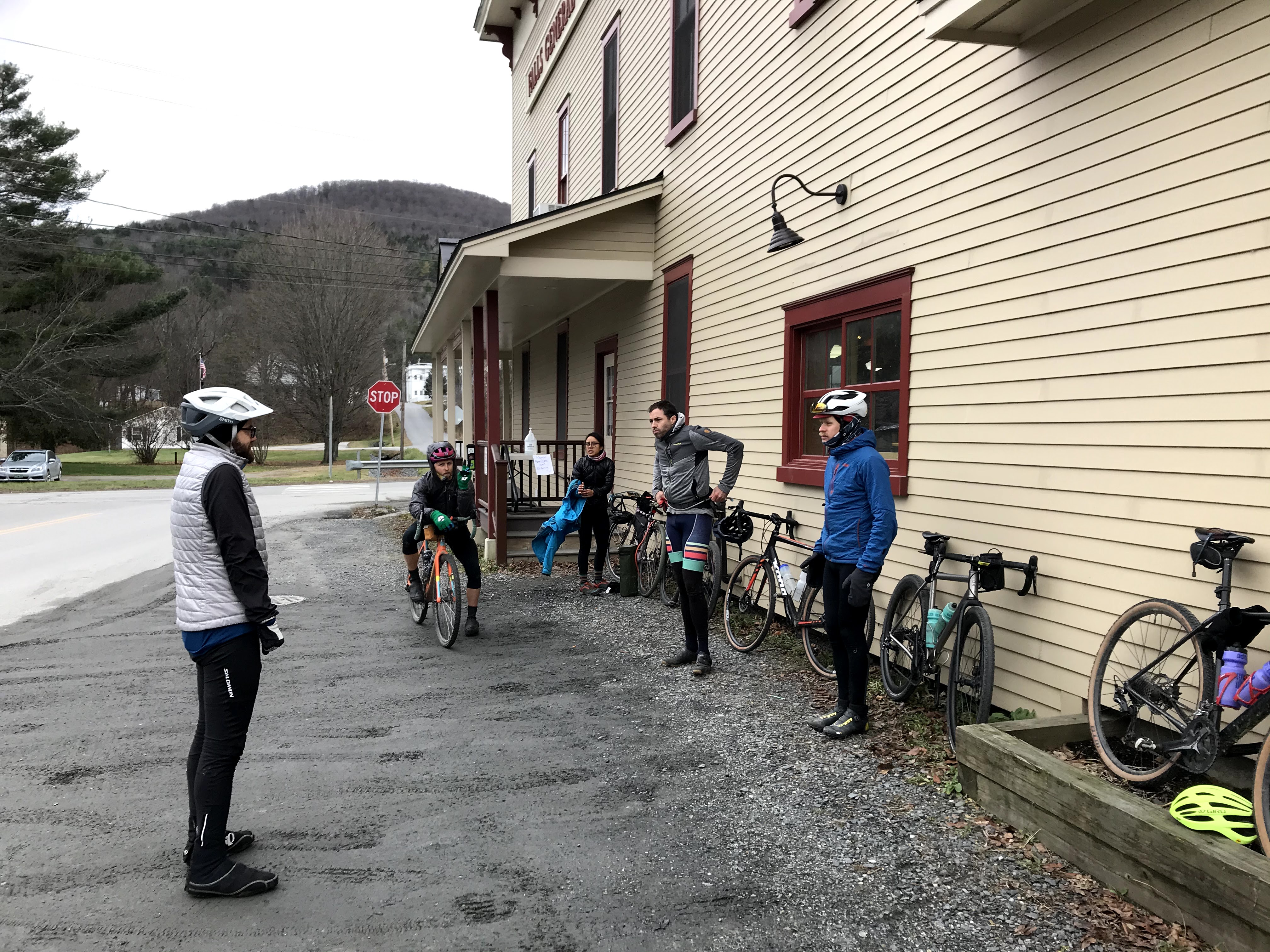
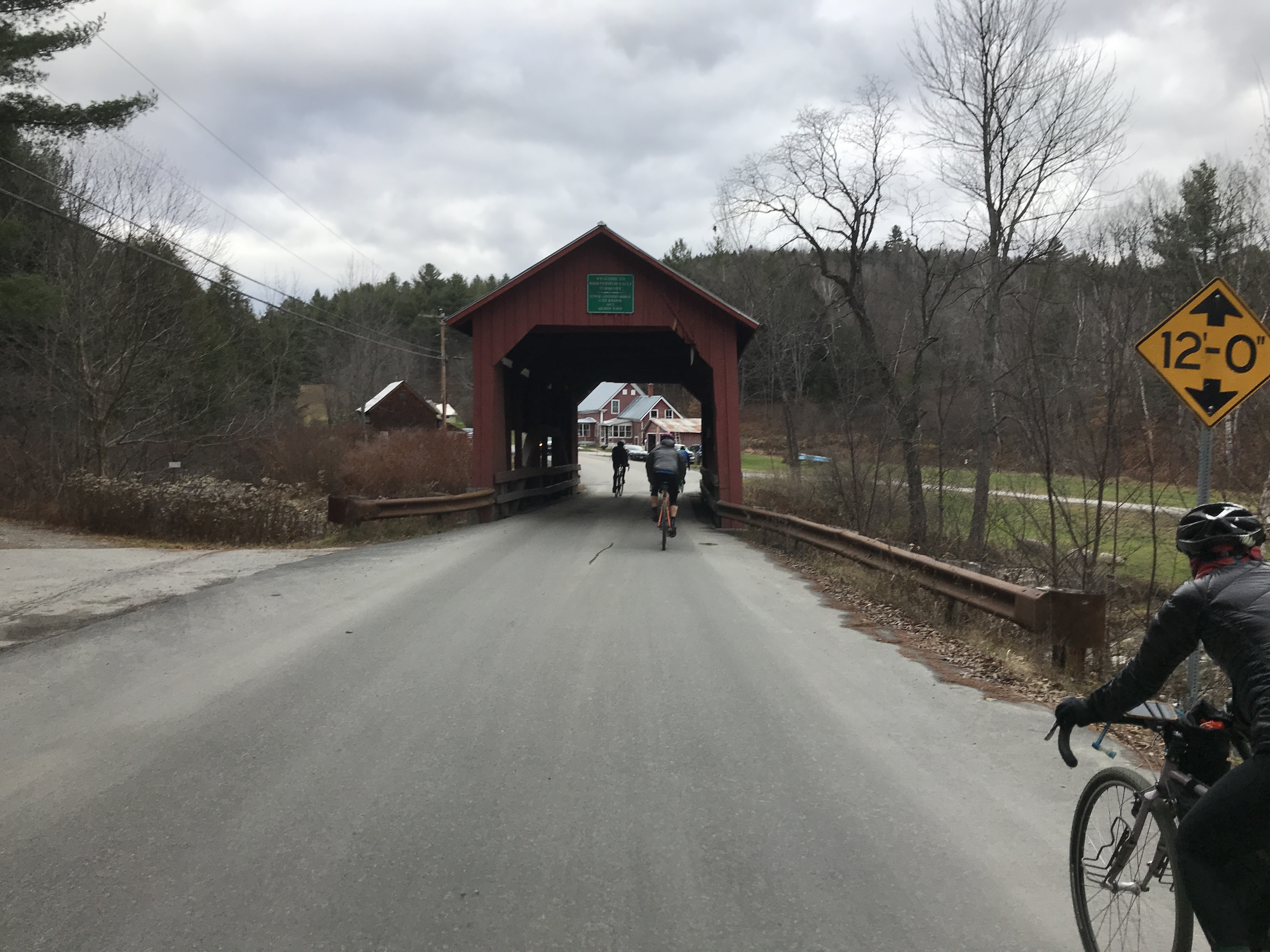
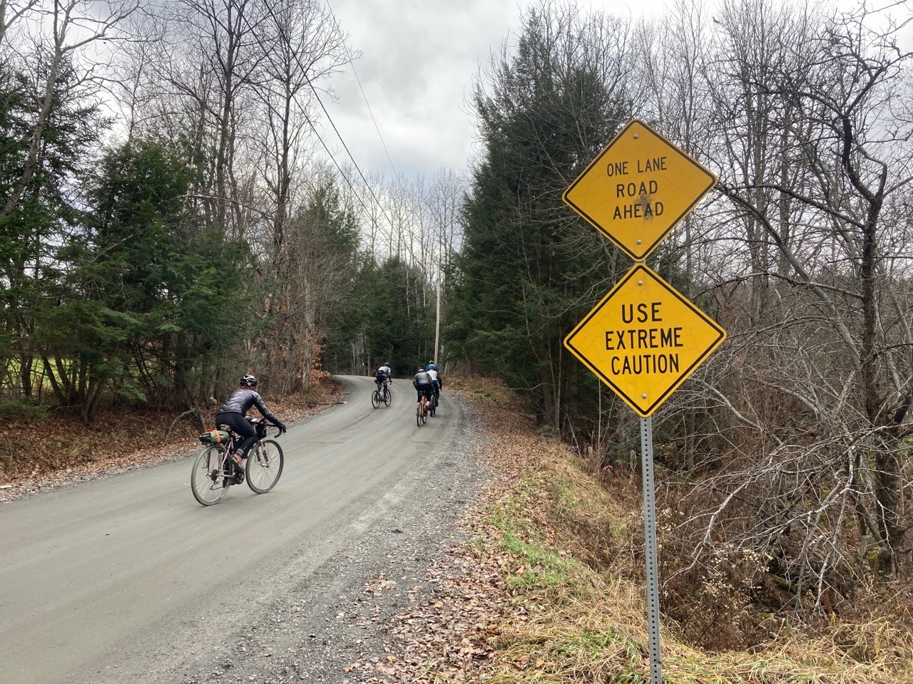
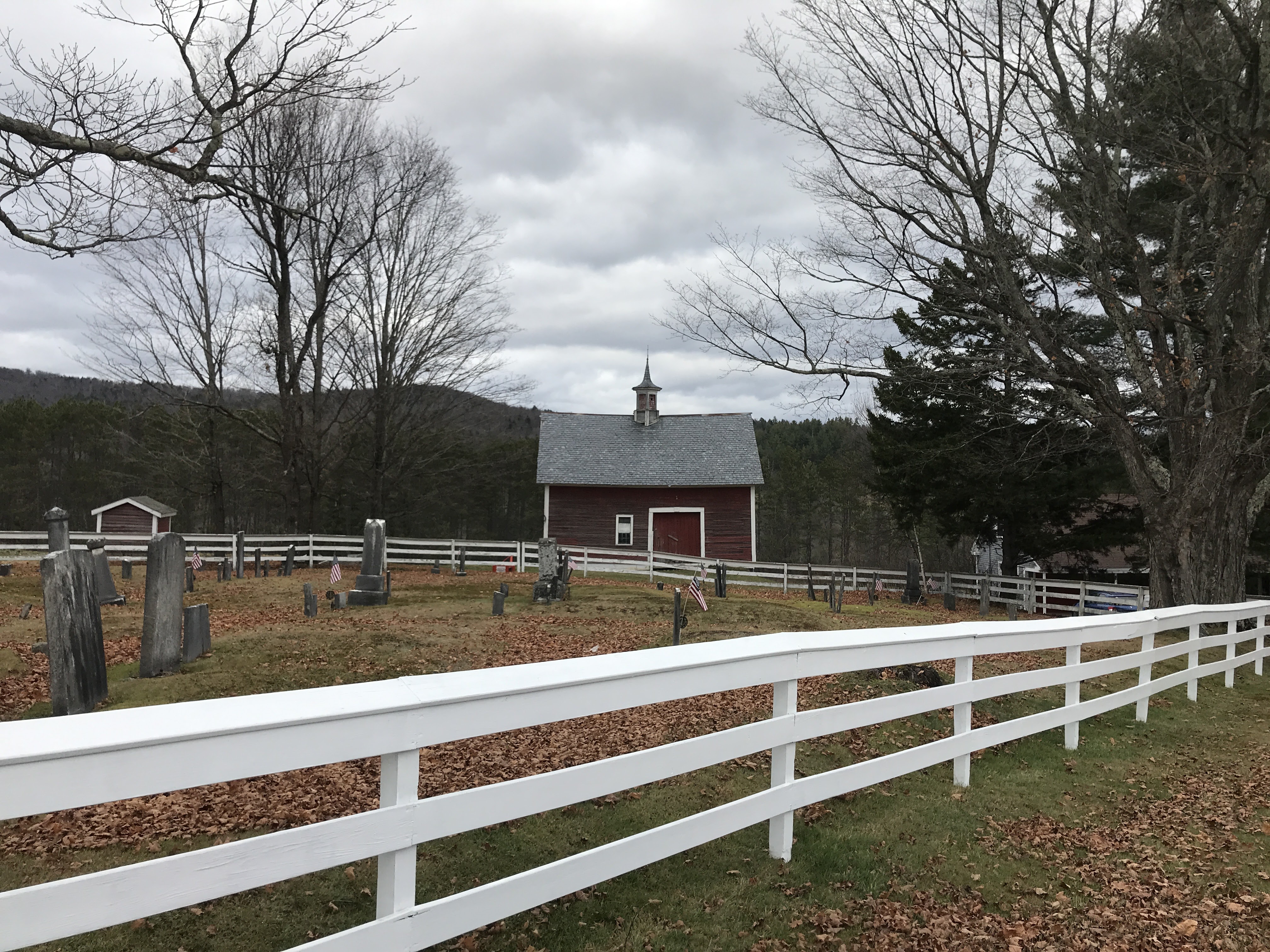

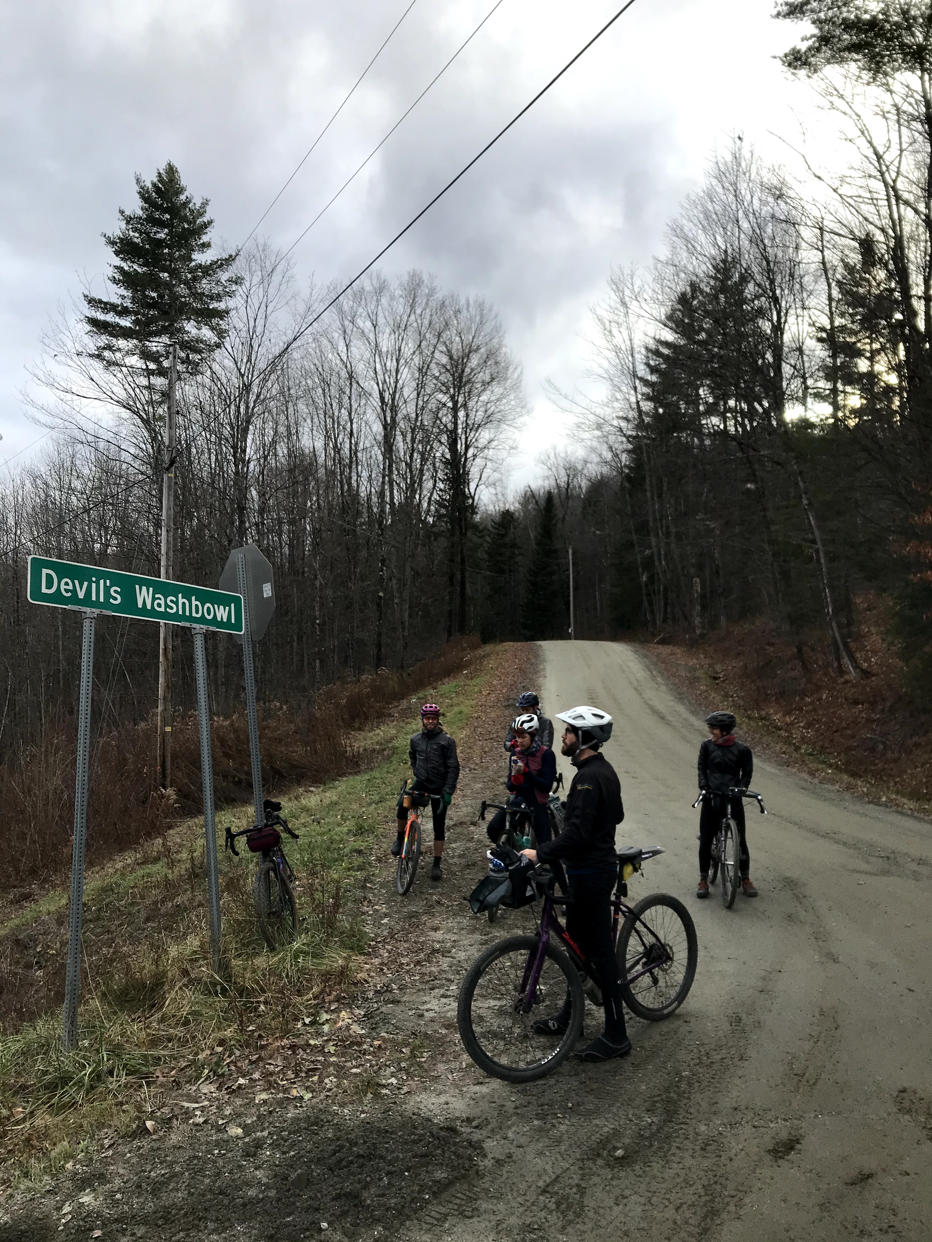
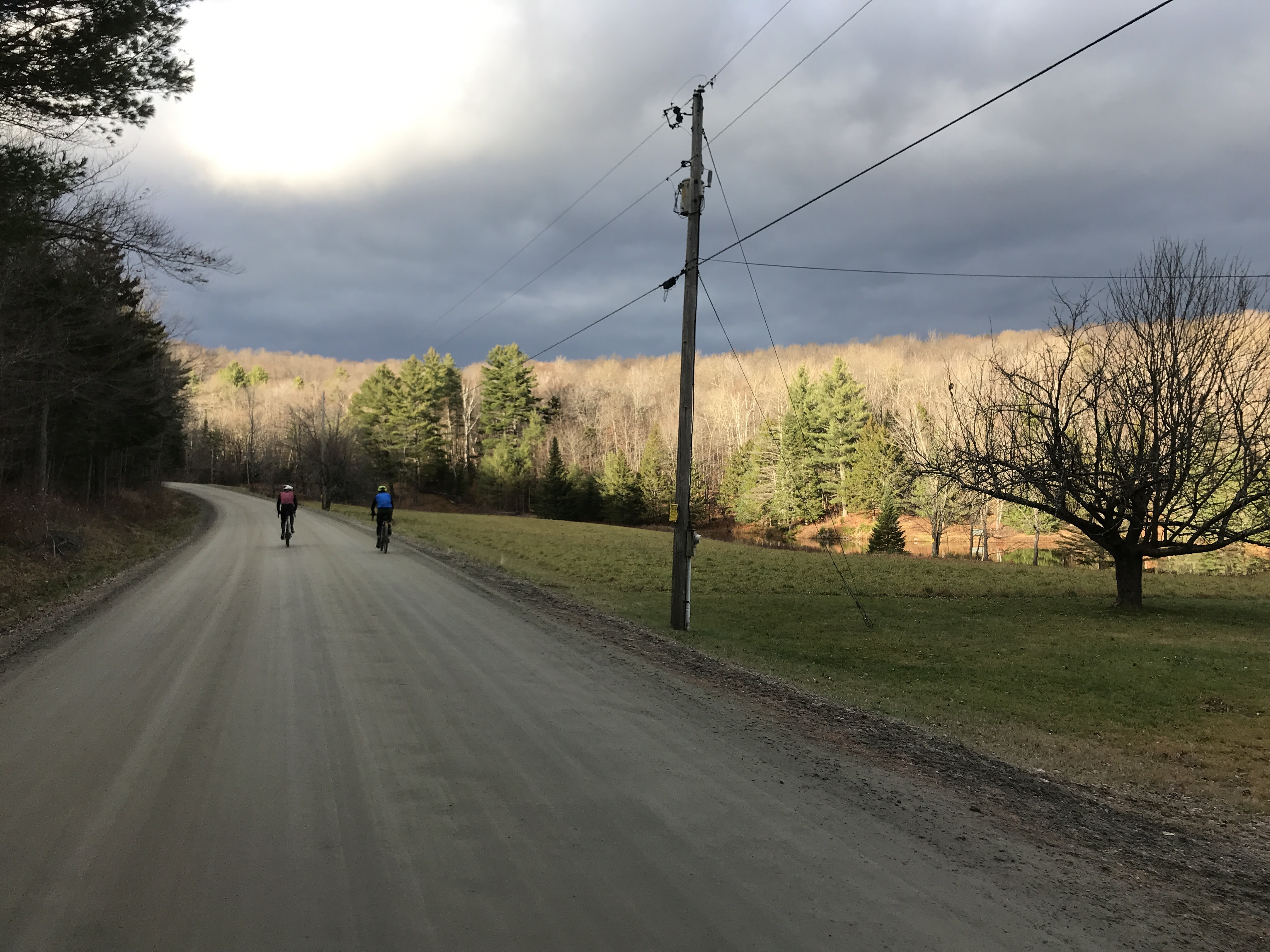
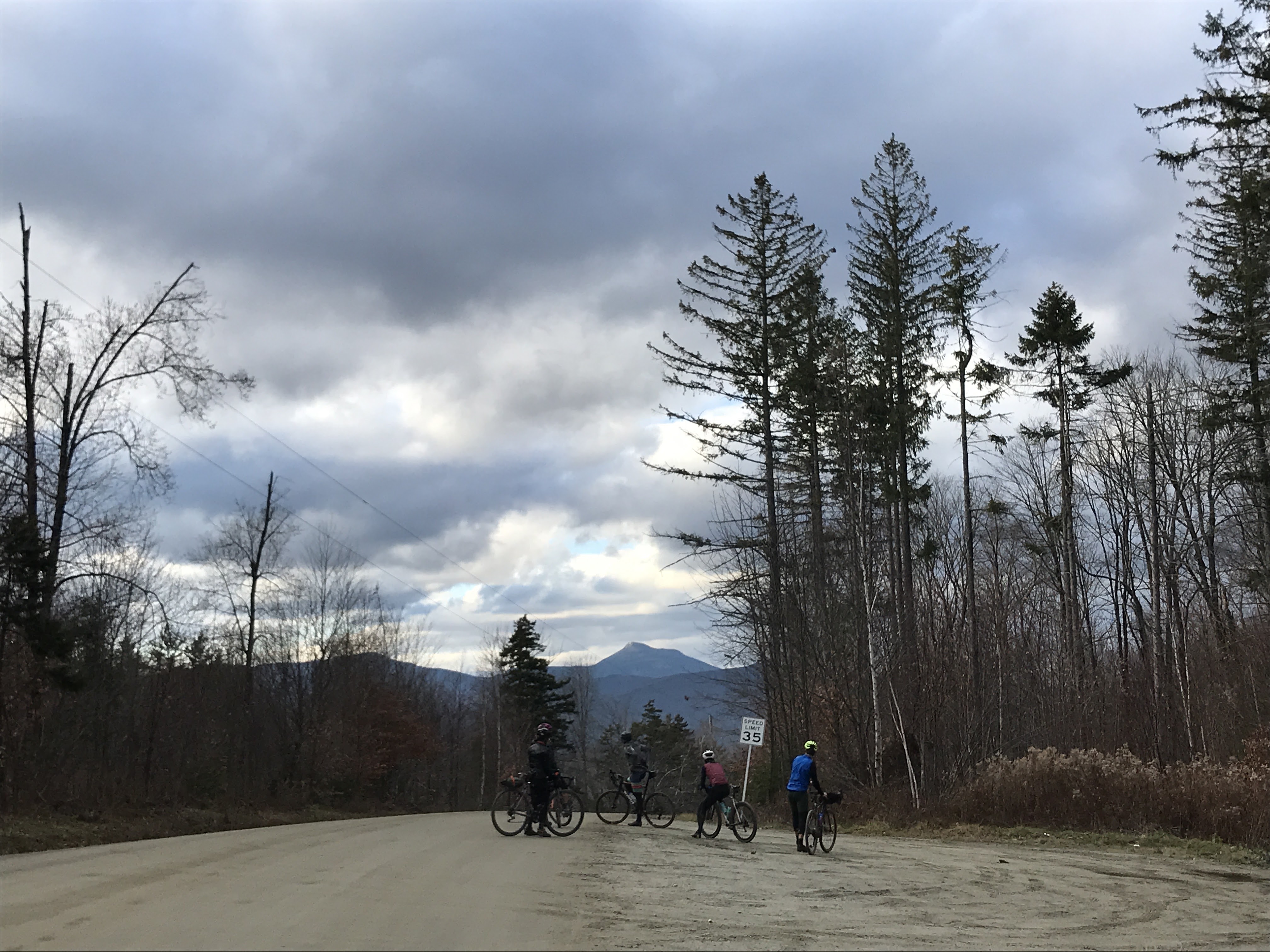
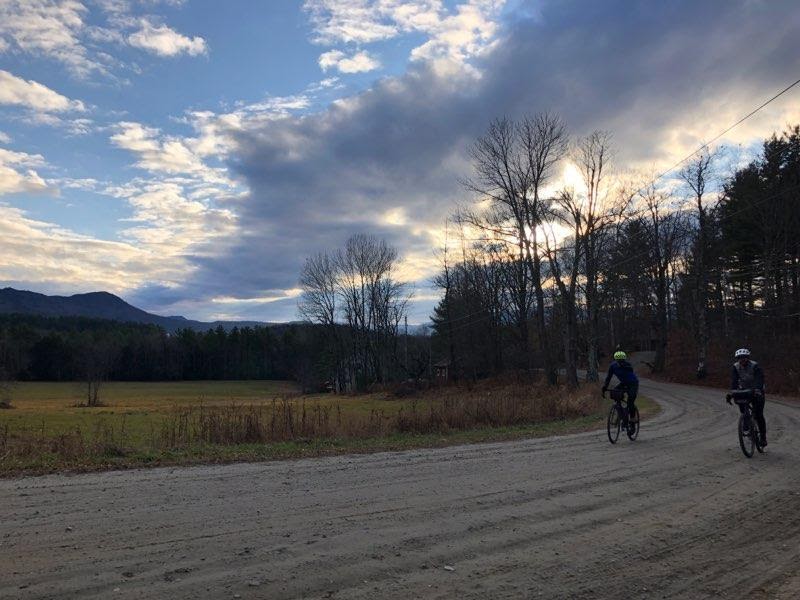
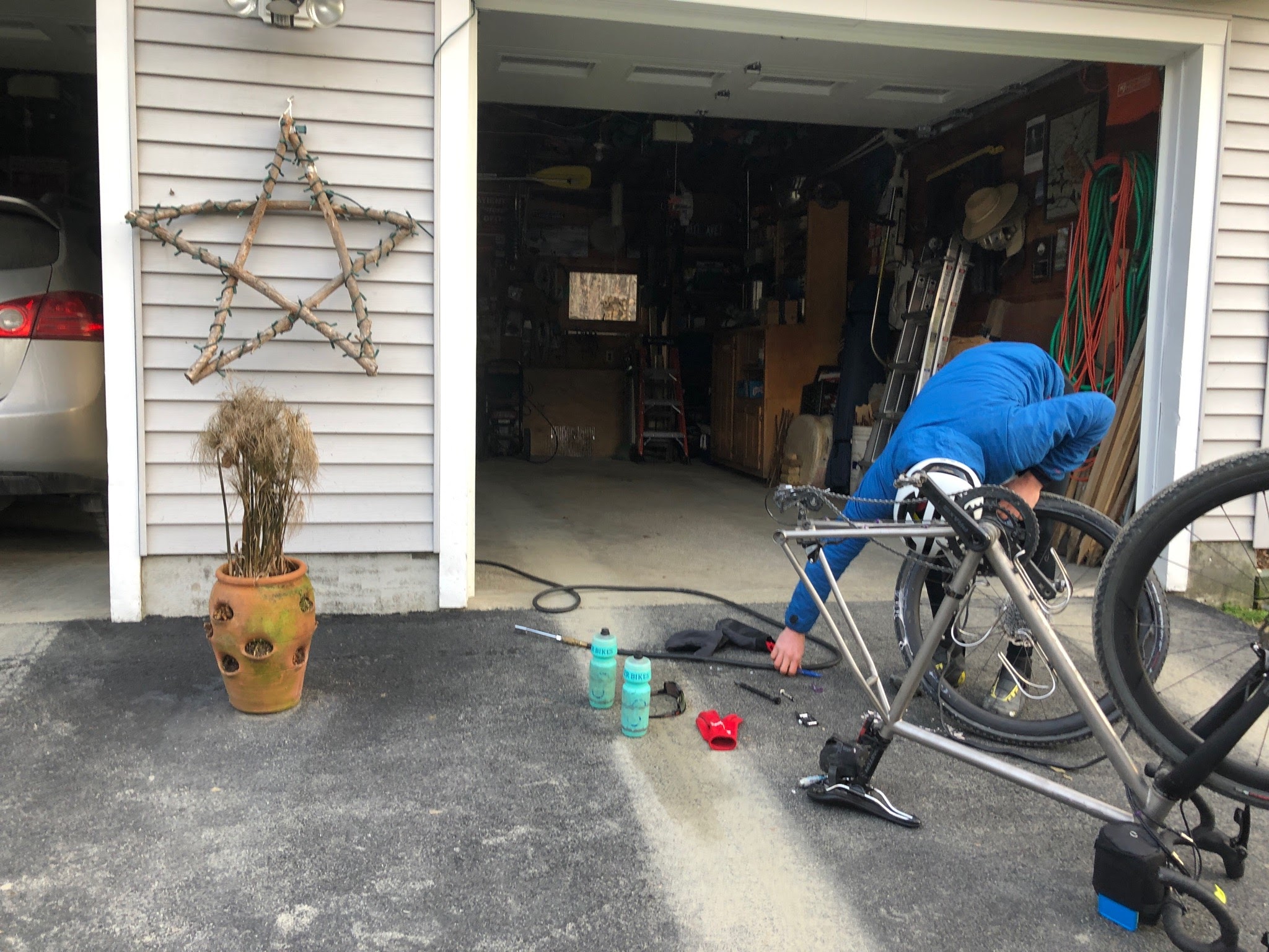
