
Well, to spoil it: I did it. I finished. However, this entry will be similar to those that preceded it and will consist mainly of me just recounting the ride and sprinkling in a few (okay more than a few) fun facts along the way. I’m planning to do a full write up of the whole project after a bit more time has passed and I can think up categories and answers for all the superlative categories I and some friends have been trying to come up with. Speaking of friends, I was lucky enough to have Brad join me on this last ride, along with a newcomer to the 251 rides, but a familiar face from the Winooski Bike Gang: Luke. Because this route was a point-to-point ride, we had to set up a shuttle. So we decided to meet at Dan and Whit’s Store in Norwich where we’d end and then all pile into Luke’s truck for the drive up to Chelsea. Quick side note: the Ford Maverick hybrid that Luke drives is a slick little truck. If I needed a truck, it would be up there on my list. But anyway, after arriving on the Chelsea Common (not to be confused with literary Chelsea Green or the pugilistic Chelsea Green) we began to prepare. The day was overcast and in the 50s, but promised to warm a bit with some touches of sun, so layering was a tough call. As always during this time of year, I had an extra bag on and brought some security blanket extra layers. Soon enough we were ready and began south on Route 110.
Chelsea sits in the valley of the First Branch of the White River which is also the title of a lovely Edward Hopper painting. It’s a beautiful town with an historic village center and also lays claim to hosting the grave of the most famous horse in Vermont History. Atop our metal steeds, we enjoyed some brief riverside flats, but just after passing a community softball game, we turned up Jenkins Brook Road to begin the longest climb of the day. It was a 5 mile push, but with the temperatures down, it provided a nice warm up. We had a few cars pass, but mainly we just chatted and we all got to know each other a little better. After turning onto Vershire Center Road, the climb continued but it soon turned to a Class 4 section. It was in good shape and, according to Brad, much better than when he passed that way on the VTXL route. Interestingly, there’s a half a mile right here that is one of only a handful of places in the state where the VTXL route and the Vermont Super 8 share paths. Once we’d reached the top, we had a quick rest, but then began to descend into Vershire. Smaller in population than Chelsea and without its core village, Vershire is a former mining town. For the second half of the 1800’s there was a large copper mine that employed nearly 800 people. The Ely Mine was central to the town, but thanks to changing economies, pollution and even a “War” the mine shuttered in 1905. It’s since been classified as a superfund site, and is finally scheduled for remediation next year, but not before an archeological dig. On our descent, we passed right by the mine along with a semester program for high school juniors where they learn and manage the land of the 418 acre campus. We continued down the sleepy roads until we reached Erin’s General Store along Route 113. We didn’t need any supplies, but did linger for a minute under the deer hang, careful to avoid the ground which was stained red thanks to a lucky bow hunter and an unlucky deer.


With a short run into West Fairlee we now headed north, but soon were dancing back into Vershire along Beaver Meadow Road. As you may have guessed based on the name and geography, West Fairlee was originally part of Fairlee, but split off in 1797. It’s now yet another sleepy “bedroom community”, and we did even pass an obvious sign for an Airbnb, so it obviously caters to tourists as well. At the top of Beaver Meadow, the road turned to a Class 4 and we had a great ride down to Bear Notch road: a slightly chunky, but overall well built (for a Class 4) section of road. It connects north to Corinth as well, and might be worth further exploration. That road carried us into West Fairlee Center where we did a brief paved climb that took us up to Brushwood Road and yet another Class 4 section. This one was a bit more unknown, but thanks to a Youtube video I somehow discovered, I figured it would be mostly rideable at least. The climb up was a bit challenging, but at the top we got a nice rest and it turns out we were in Fairlee (no sign though). This area has a number of ATV trails and again, would be fun to come back to and explore. The ride down was fun, with only a few sketchy spots over some ledge. The best part was that our friend Rachel appeared 1/3 of the way down! She lives just across the river and came by to provide some company and even DONUTS! Major props to her for that and for making the climb up what we were descending: it was quite steep!
We popped out right at the Hulbert Outdoor Center which is one of a number of area camps owned and operated by the Aloha Foundation. They are centered around Lake Fairlee and Lake Morey. The latter being host to a resort and conference center that many Vermonters are familiar with due to its central location being what I call “equally inconvenient for everyone” and hosting a ton of day-long meetings, trainings and conferences. In the winter the lake also plays host to maybe the longest outdoor skate trail in the country and looks like a great time! We curved around the lake’s west side, wending our way past a golf course stopping at Wing’s Market. Brad, Luke and I all got some form of fried chicken and the warm snack and water refill was a welcome respite. Unfortunately, this is where Rachel had to leave us, but we said our goodbyes and took the somewhat monotonous pavement of Route 5 and Route 244 eventually reaching the welcome dirt of Hebbard Road.
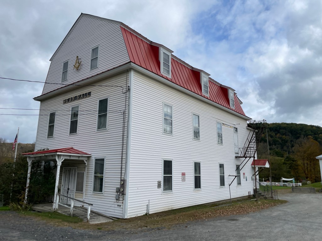
Bean Hall, West Fairlee 
Airbnb on Beaver Meadow 
About to start down Bear Notch 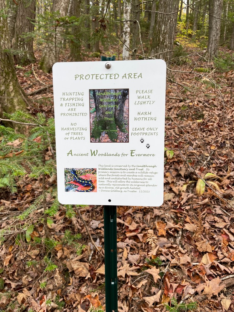
Some new signs along to road put up by the group that manages the land: Sandbhreagh Wildlands Sanctuary and Trust 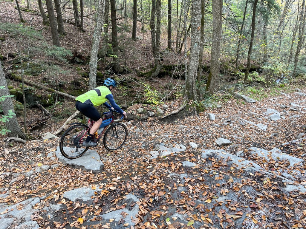
Luke showing off his excellent bike handling skills 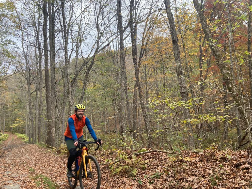
Just loving life (photo by Luke) 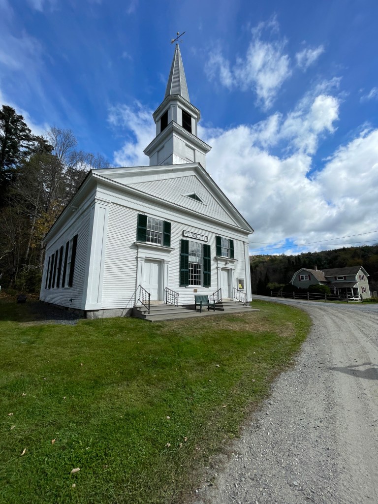
West Fairlee Center Church 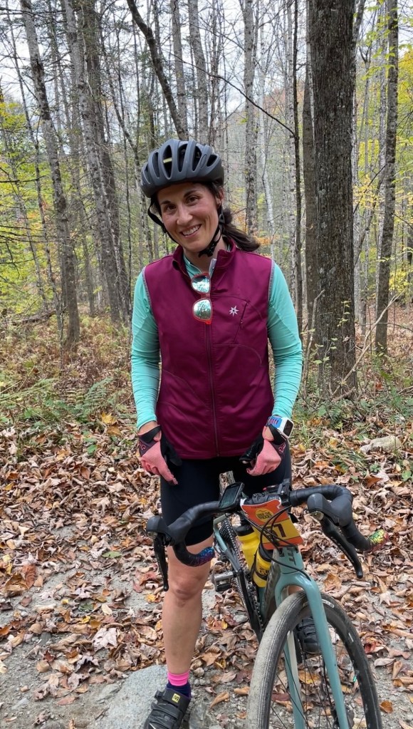
Local LEGEND Rachel 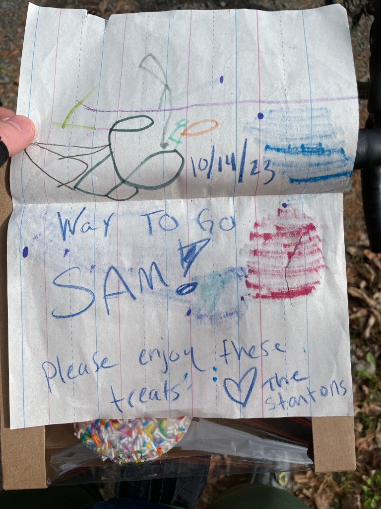
The sweet note that accompanied the donuts 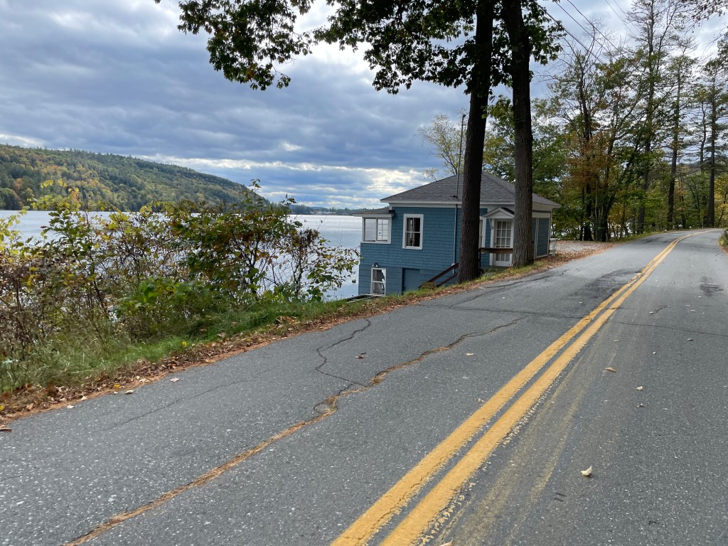
Lake Morey 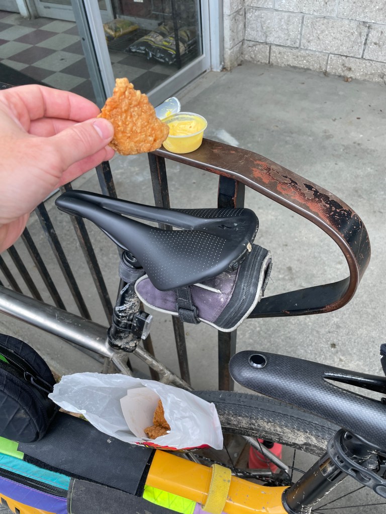
Gotta go with the honey mustard 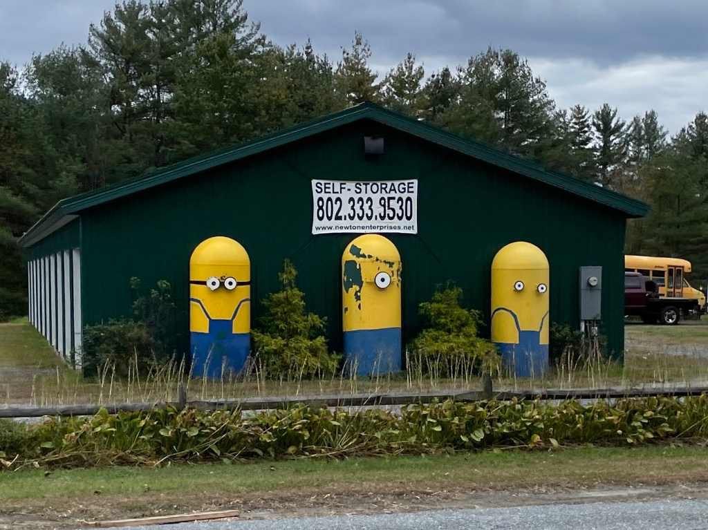
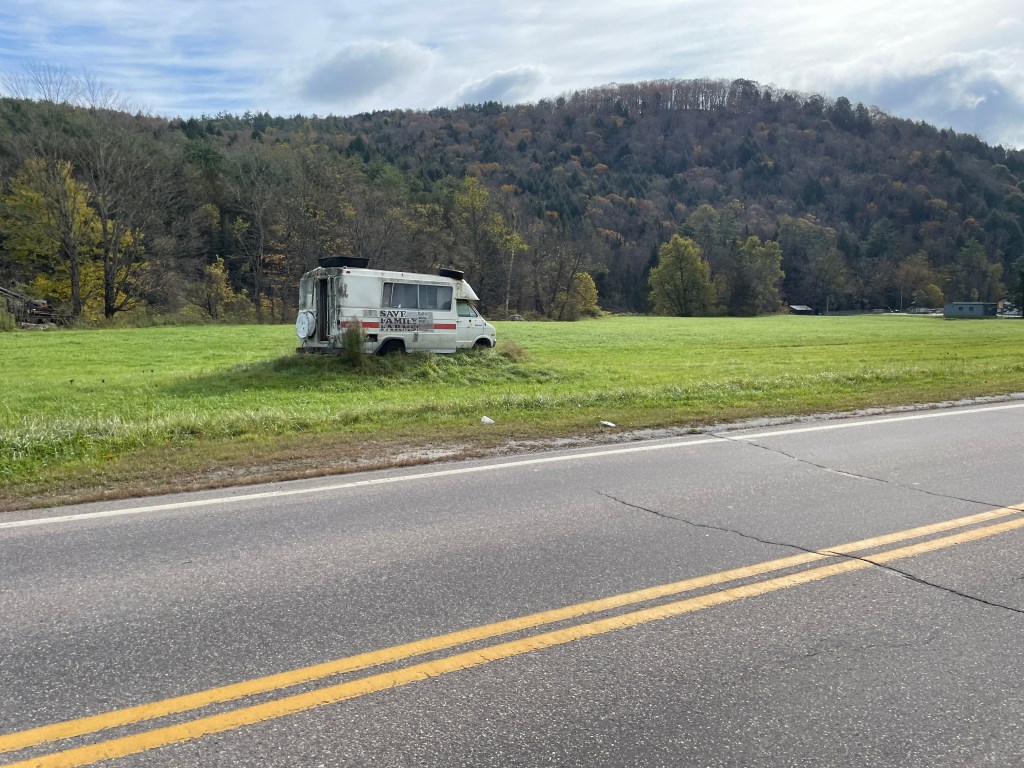
Minions on Route 5
Along our climb, we soon crossed into Thetford, passing yet another Aloha Foundation camp, before dropping down to Lake Fairlee and the Post Mills area. Post Mills is one of seven villages within the town and is by far most famous for its airport. The airport was founded in 1945 and didn’t really come into its own until it was bought by Brian Boland, the eccentric collector, balloon pilot and banana lover in 1988. He amassed various collections and stored them in a de facto museum on the airport grounds, which are also guarded by multiple scrap wood dinosaurs, including the original: the Vermontasaurus. He was an avid balloon pilot and builder who sadly died in a bizarre accident that has left the community reeling and trying to determine how to manage the airport moving forward. We didn’t have time to check out the museum (though I’m certainly going to head back for a visit), but we did check out the wooden dinos and I took a moment to think of the man behind it all. We hopped briefly back into Route 113 before turning up Barker Road which eventually carried us to yet another Class 4 road. Poor Farm Road passes right between an old barn and a new kind of swanky-looking modern farmhouse. From there we has a nice cruise down over the Thetford Center AKA Sayers covered bridge and into the sleepy village. There was a general store that unfortunately didn’t survive Covid and the tough job market, and is currently for sale. Though it sounds like a Hallmark movie, don’t be fooled by the price: it apparently needs a bunch of work.
We zipped through town and turned onto Buzzell Bridge Road and into the Union Village Dam Recreation Area. The area is crisscrossed by trails and multiple swimming areas, the latter of which are graced with “No Nude Swimming” signs. I later learned from a friend that there was a community debate a few years ago about whether or not to allow clothing optional bathing and they ended up erring on the family friendly sign. We didn’t see any swimmers, and amazingly not much damage from the summer’s extensive floods. In general, Thetford dodged a bullet and the dam did its job, but given the fact that the water was over 25 feet above the road, the whole area was in fantastic shape. Ironically, the worst damaged section was a bit of paved road right next to the dam. We managed to find a tight line next to the deep gullies and rode to the top of the dam. Once up there, we saw a couple of folks posing for what we assumed were band promo shots. I’m very frustrated that I didn’t ask their band name, but I hope the shots came out well!
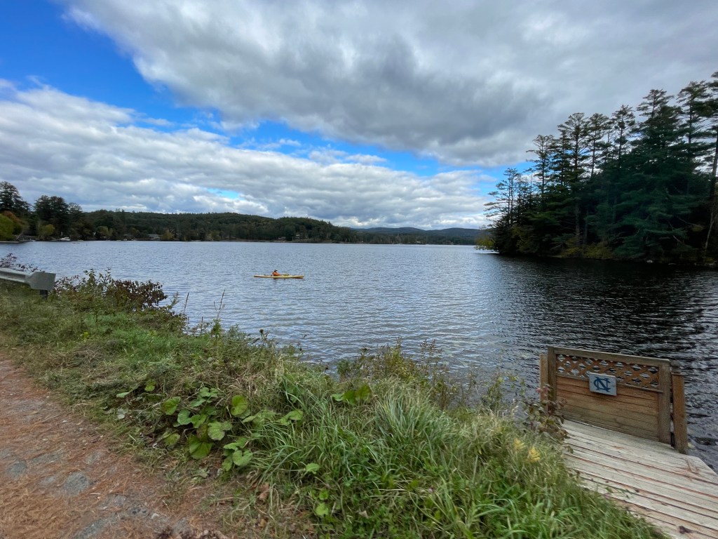
A late season paddle on Lake Fairlee 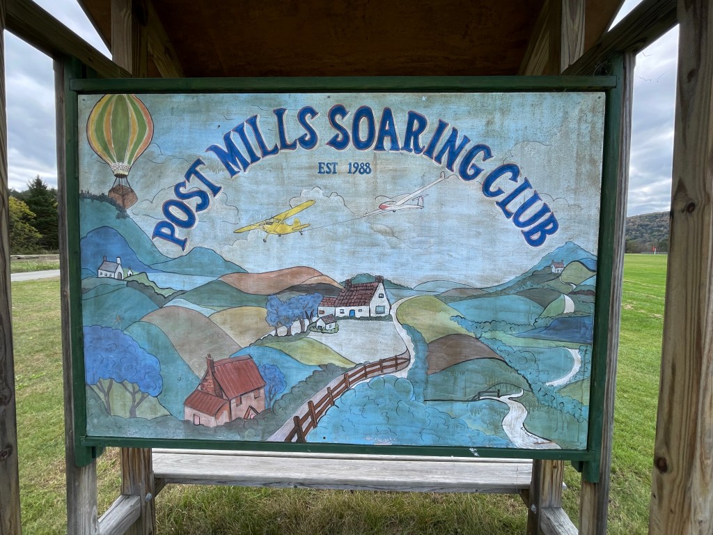
The heart of Post Mills 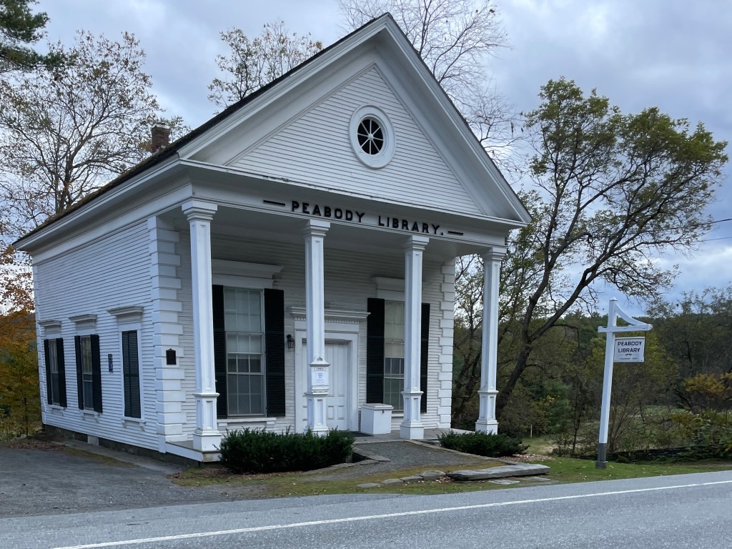
Peabody Library: circa 1867 
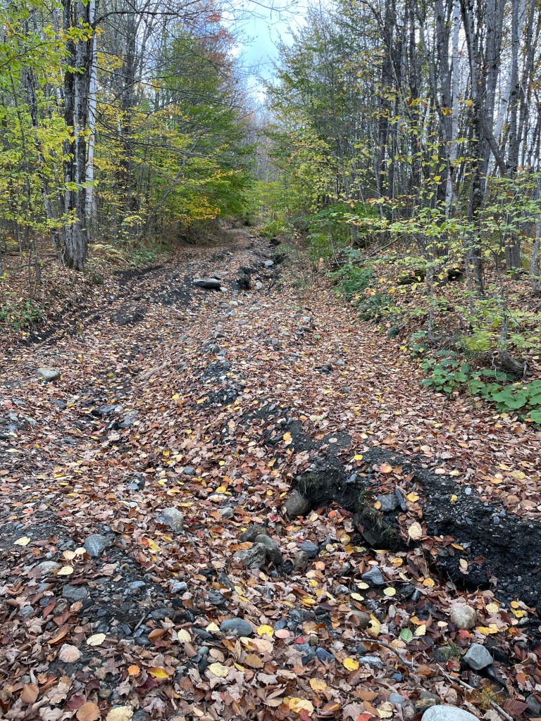
Poor Farm class 4 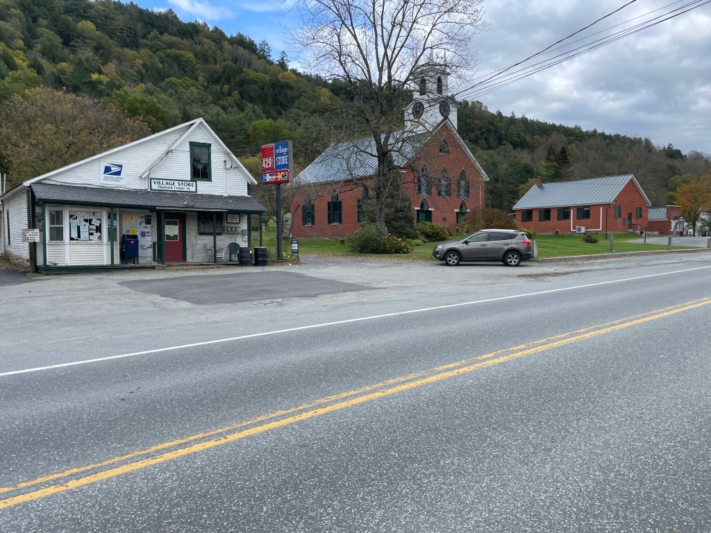
Who WOULDN’T want to buy that cute little store? 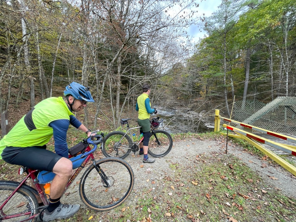
In the Union Village Dam Recreation Area 
All of this was under water a few months before (note the dam in the distance) 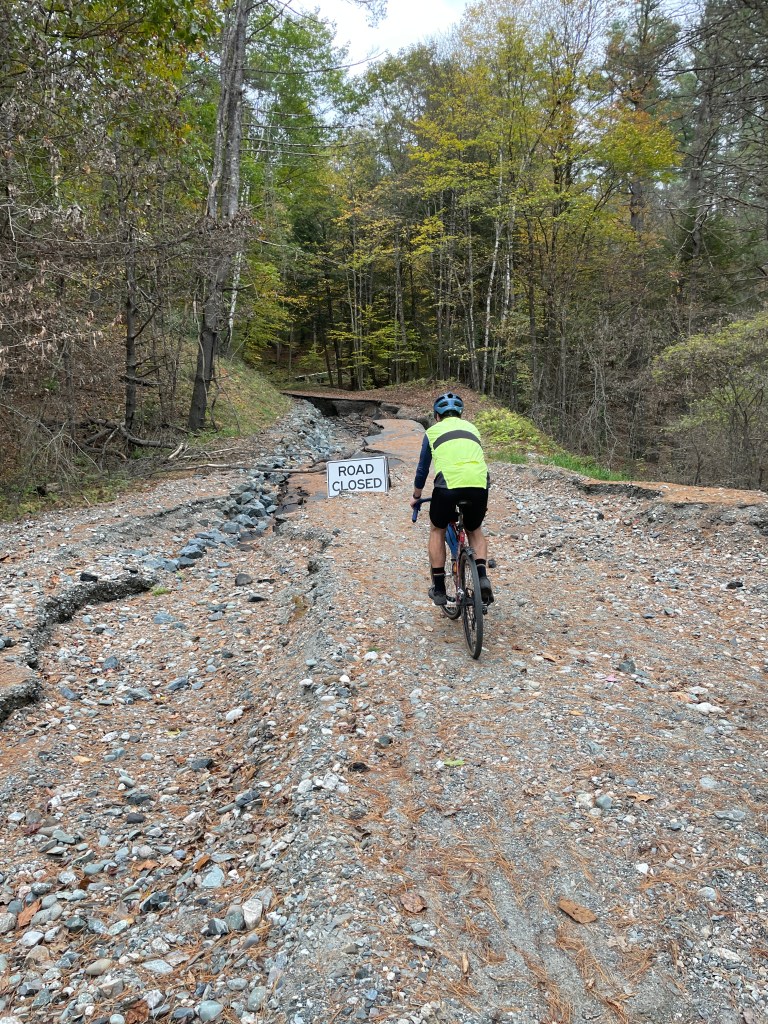
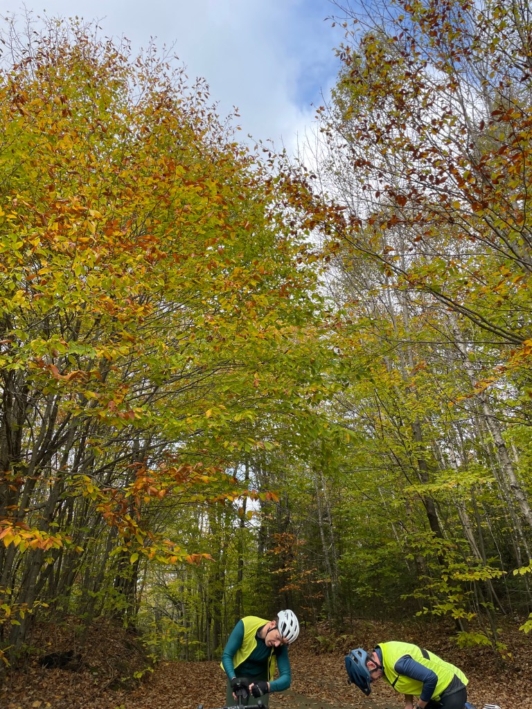
Luke scouting the line 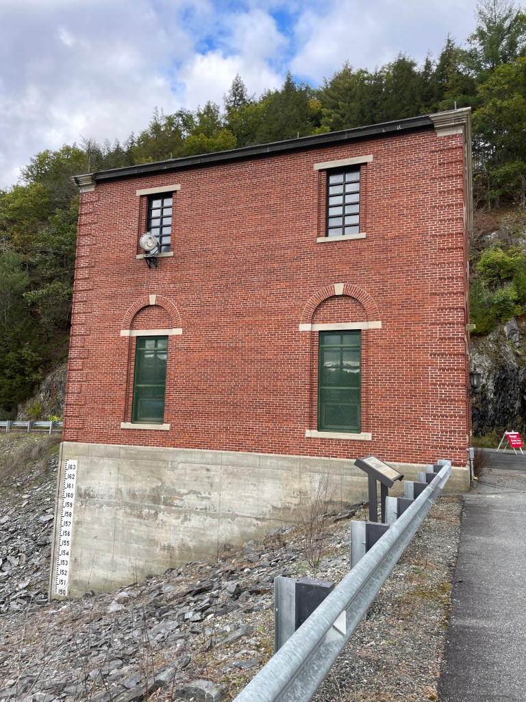
They’re hard the see, but there are some lovely mosaic tile numbers on the side 
Approaching the photo shoot
At the bottom of the dam we entered the historic settlement of Union Village. The first Europeans moved into the area in the 1790s and it prospered thanks to its mills which were powered by a (much smaller than the present-day) dam in the Ompompanoosuc River. It was called Union Village because it straddled the border of Thetford and Norwich (as well as Orange and Windsor Counties). A small schoolhouse, which is still present, used to be situated directly on the line and there was a long row of nails that ran right down the floor, dividing the classroom in half. These days there are some lovely old buildings and a covered bridge but it’s pretty sleepy. However, by crossing into Norwich, I was technically done so joked that Brad and Luke should go get the truck and pick me up. Instead, we pushed on for our last climb of the day. We quickly crossed Route 132, and began chugging up Kerwin Hill Road. This dead-end road is somewhat steep, but has multiple nice houses along the way. At the top, the road becomes the Badley Hill Trail, one of MANY trails in Norwich (including the Appalachian Trail which runs right through downtown).
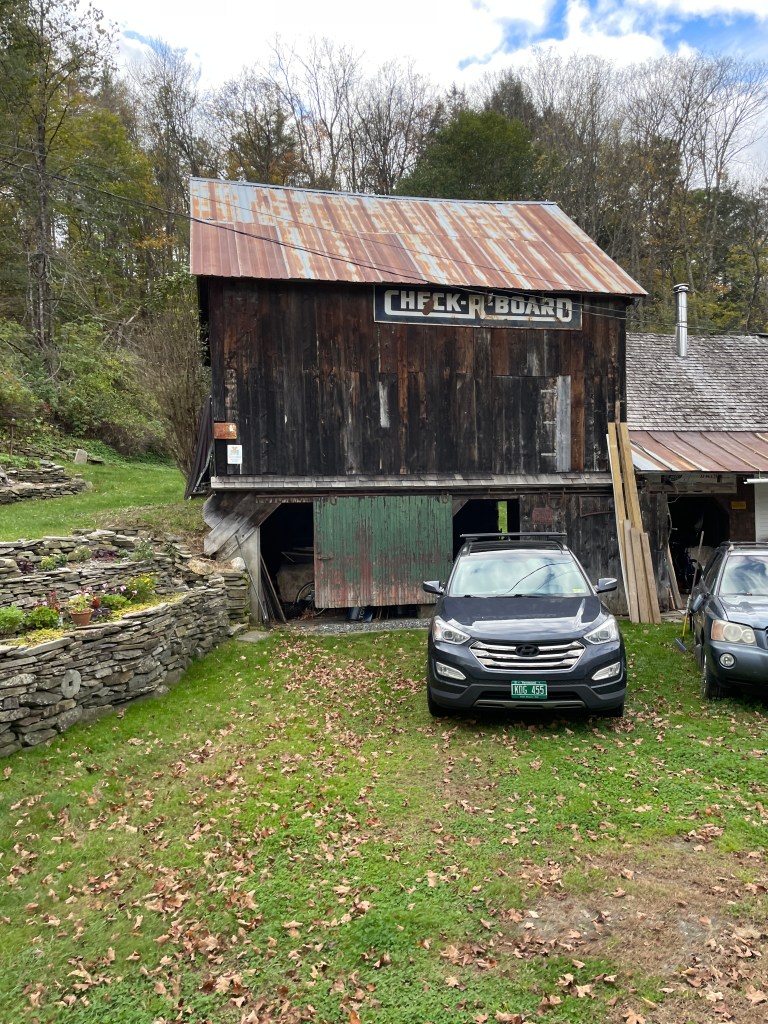
We took Bradley Hill Road (at this point no longer a Trail) further down and because I wanted to squeeze in one more off-road section, we turned onto Maple Hill Road. Just after the turn we passed a gorgeous homestead with a stunning mustard yellow farmhouse and adjacent barns. It turns out it’s the Olcott House and Maple Hill Farm which was built (well, paid to have built) by the state’s first Lieutenant Governor Peter Olcott in 1789. The whole complex was listed on the National Register of Historic Places in 2020 and it’s just a beautiful property. We continued down the hill and took a right onto a path through the woods that began as a smooth, wide lane, but soon essentially petered out to nothing. But we pushed through and eventually made our way to an open field with views of the Connecticut and Dartmouth’s Baker-Berry Library across the river in Hanover. We were now on the aptly-named “Four Wheel Drive” which we zoomed down to Church Street and into the village. Back at Dan and Whit’s, we changed and found a bite to eat in the “if we don’t have it, you don’t need it” aisles of the sprawling store. It’s been in the Fraser family for over 65 years but it’s been “a general store for several hundred years beyond that and has also served as town hall, a bank and the local post office.” It really seems to be a community hub and I’m jealous I don’t live closer. We soon split up and I drove Luke back up to Chelsea and his truck, then continued homeward.
As I mentioned at the beginning, I’ll have a more comprehensive reflection and write up of the whole project, but I will say now that it’s been such a satisfying experience. It’s taken me to places I never would have otherwise gone and though it was a silly, arbitrary goal, it’s one that I set close to 3.5 years ago and have followed through on. I’m so proud of what I’ve done, thankful to those who have joined and helped along the way and mostly in awe of this Brave Little State and all it has to offer.
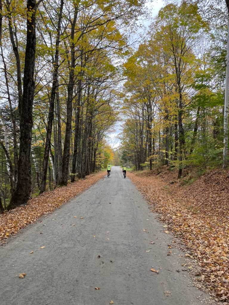
A very Vermont-y scene 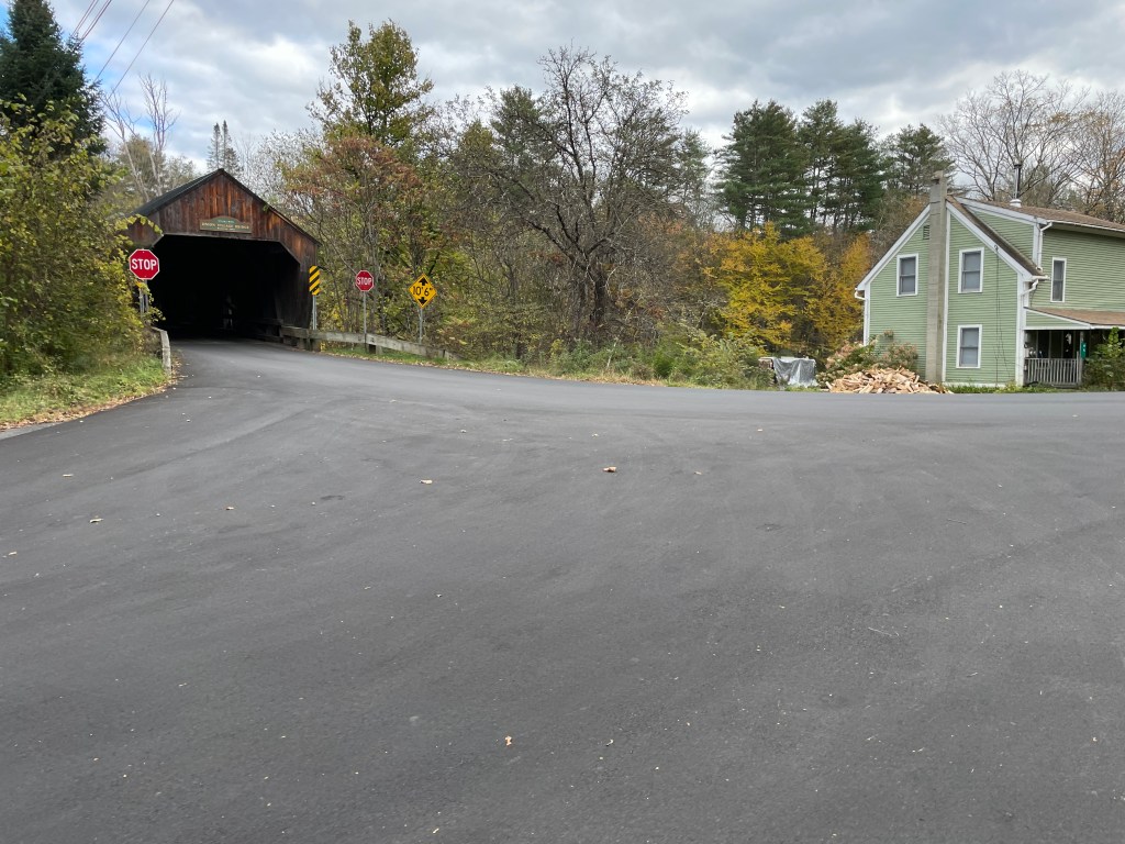
Union Village covered bridge 
The old schoolhouse 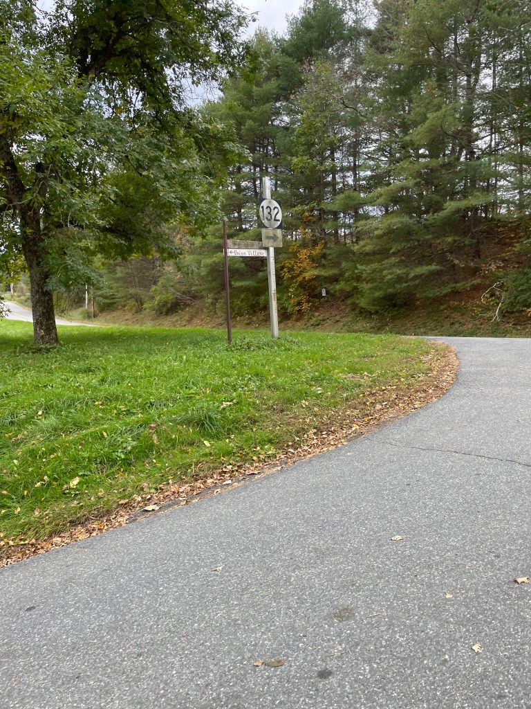
An antique Route 132 sign 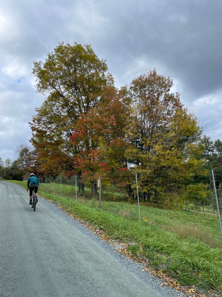
Climbing up Pattrell Rd 
Bradley Hill Trail 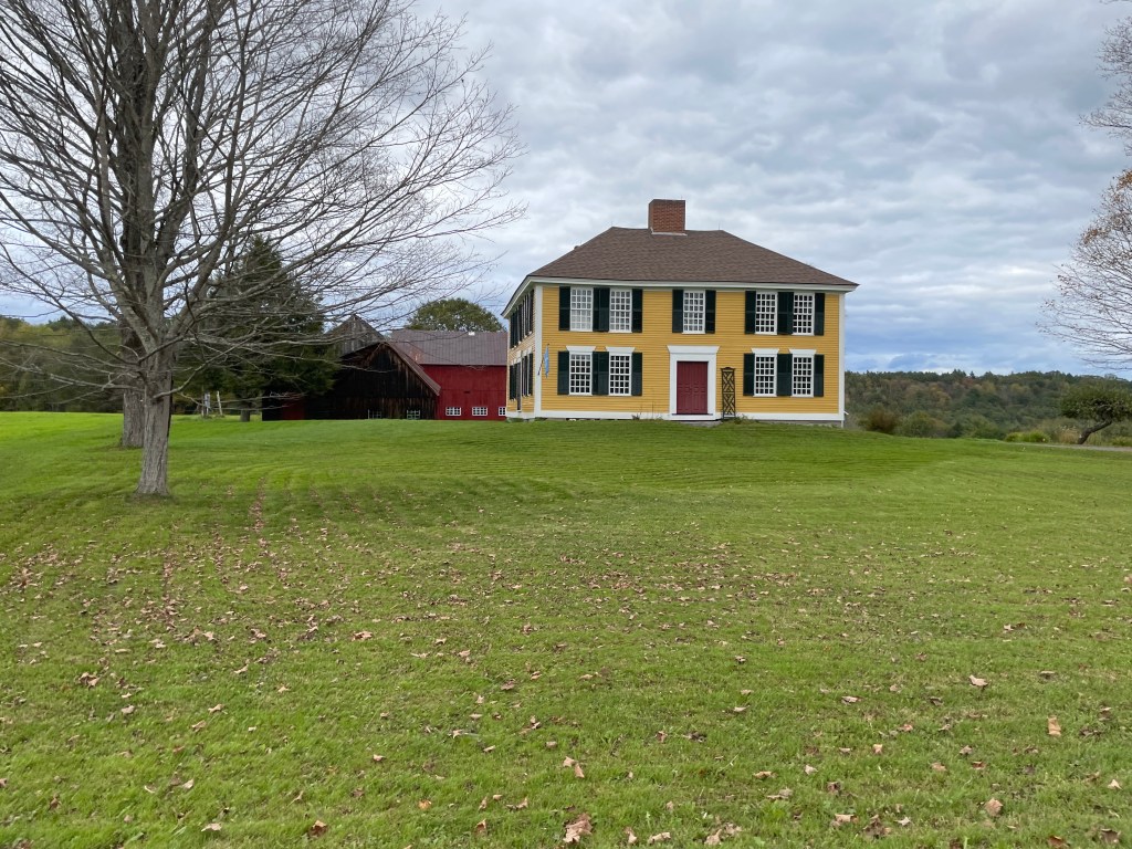
The Olcott House 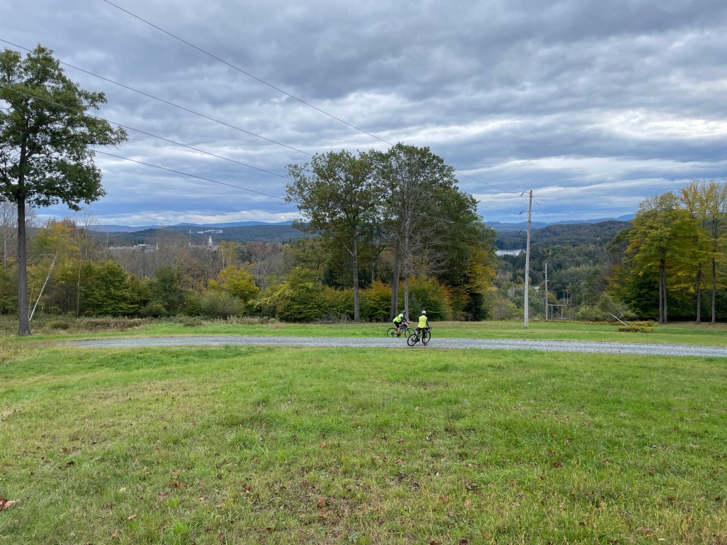
Out of the woods 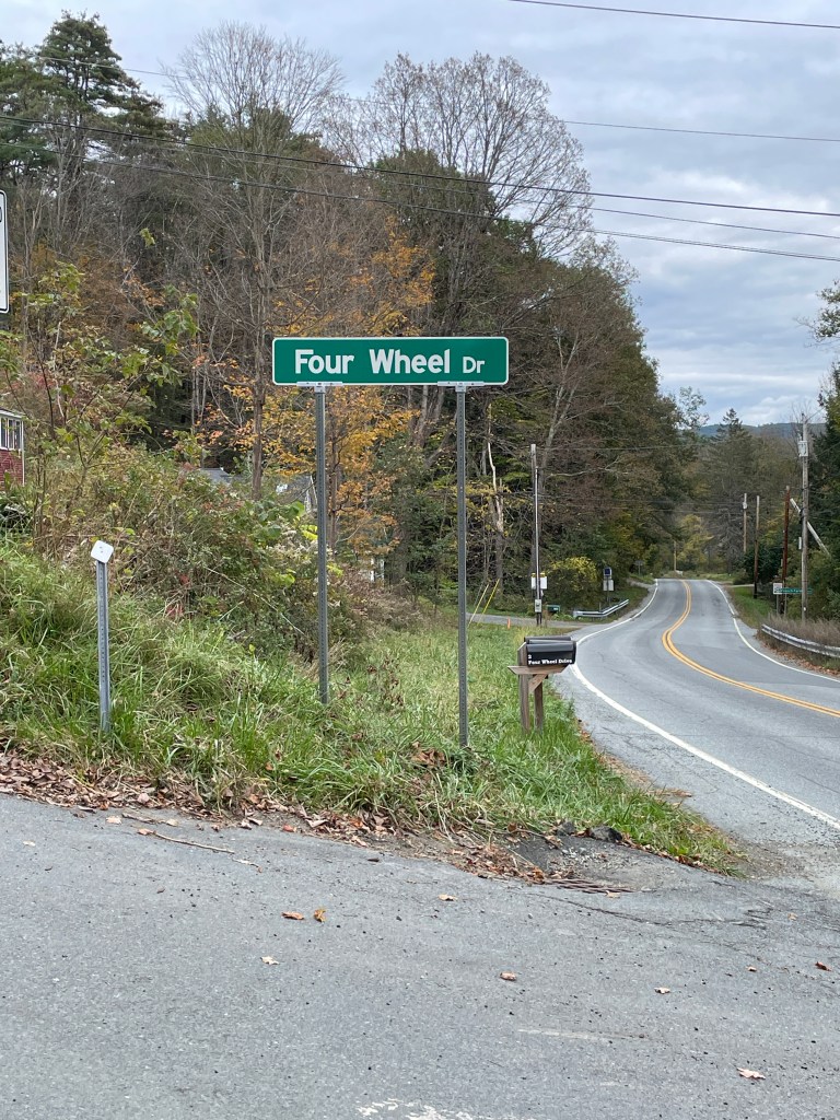
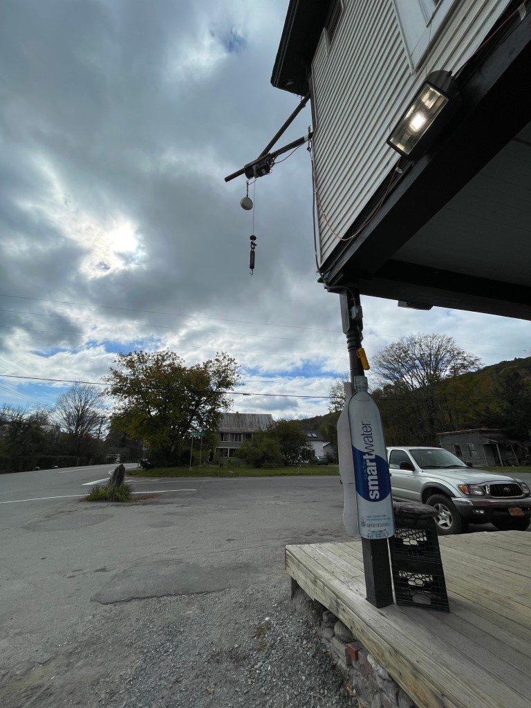
A perfect road name 
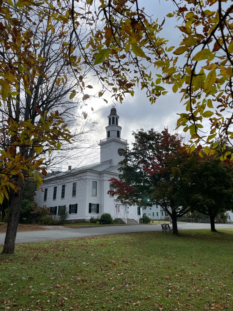
Church Street’s namesake 
This place is truly amazing 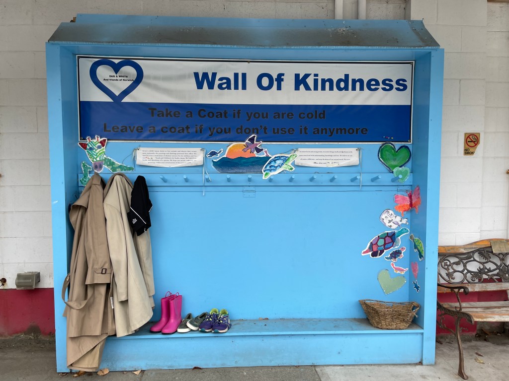
One of the many, many community-minded things you see at Dan & Whit’s
