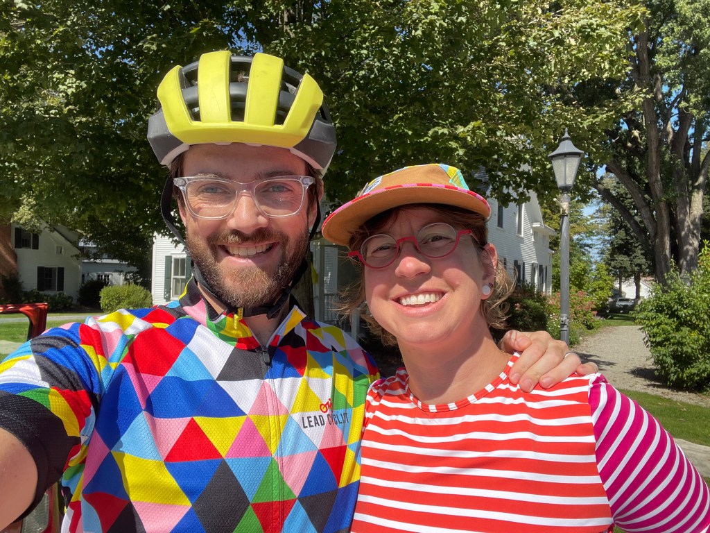
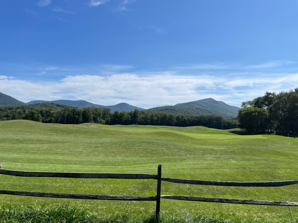
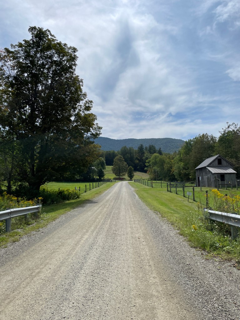
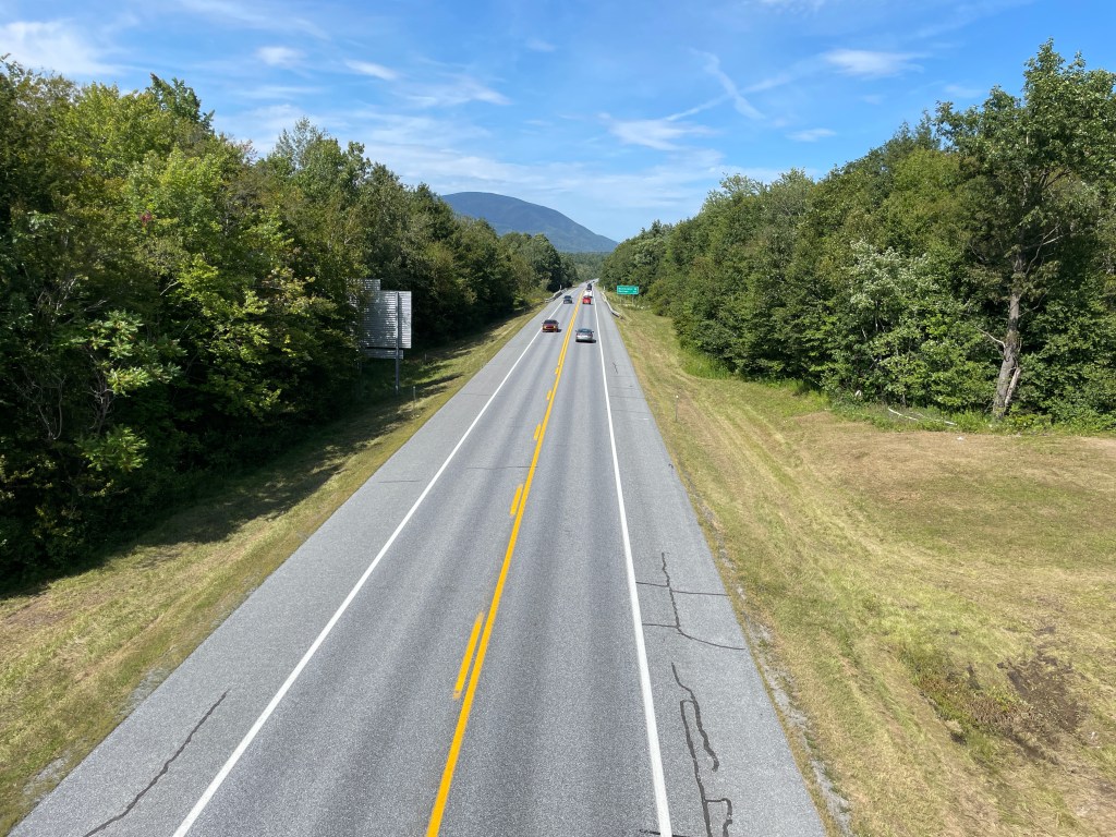
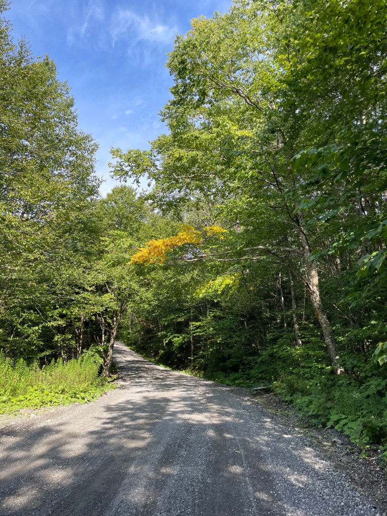
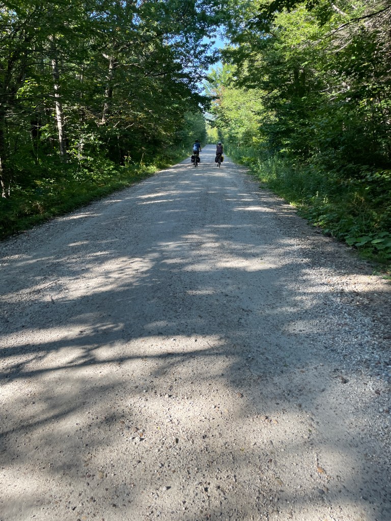
This ride had originally been designed as two separate loops. Once I’d made the routes, I realized it wouldn’t be too difficult to link them and the connecting thread would be an epic climb that’s part of the VTXL route. Plus, if I split it into three days, I could basecamp in the Green Mountain National Forest. I made that change at least a year ago and the new unified route had been sitting there as I checked off other towns, but I finally decided I needed to do it. To be honest I’m running low on options! So I talked to Maddie about whether or not she’d like to join me on this adventure (the camping part, not the biking…she’s not into the higher mileage stuff) and we booked a lean-to at Grout Pond over Labor Day weekend. Given the weather we’ve had I wasn’t optimistic, but as the date got closer, things were looking dry and warm. Everything was lining up and by the time Saturday morning rolled around, it looked to be perfect. We made the long drive south, stopping at the Middlebury Bagel from Ride 22 and then followed beautiful Route 30 to Dorset. The plan was for Maddie to drop me off, she’d then do her own thing while I rode and we’d rendezvous for lunch. We pulled into Church Street where I awkwardly did a towel change into my bike apparel between the Green and the swanky Dorset Inn. The town writ large seems to have a generous dusting of posh all over it. For example, the Dorset Field Club is the oldest continually operated golf course in the United States. It’s not all modern second homes and massive Gilded Age mansions (though there are plenty of those): I began the ride by passing a few active hay fields and possibly even some non-hobby farms.
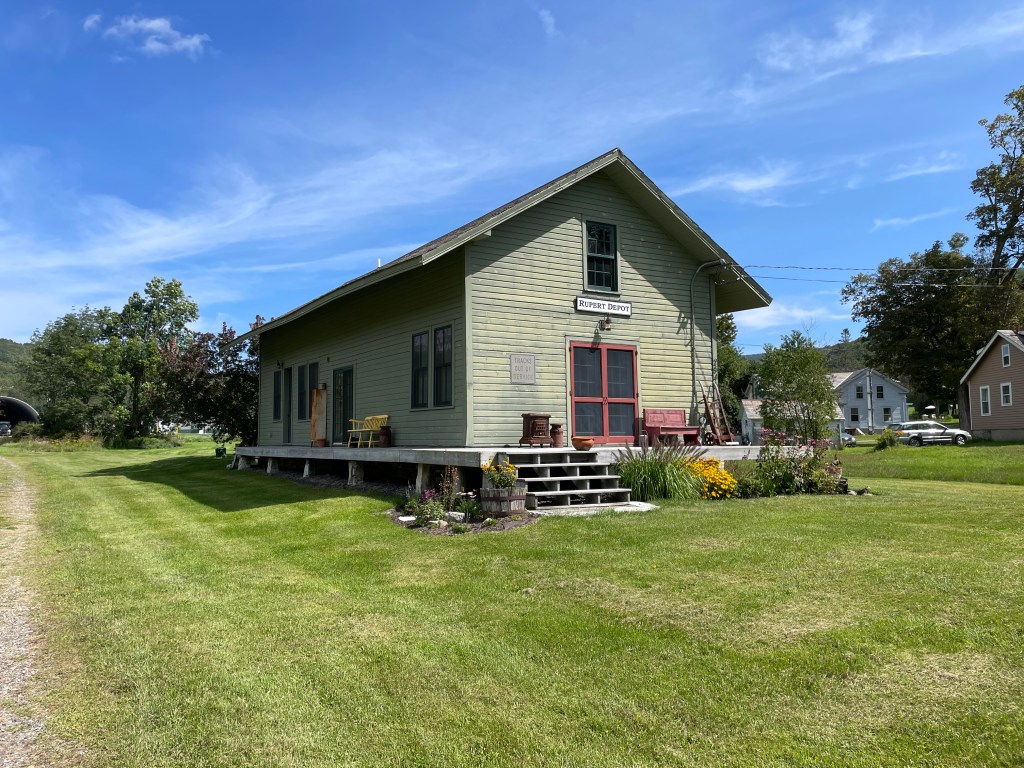
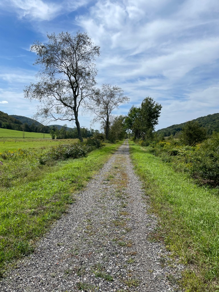
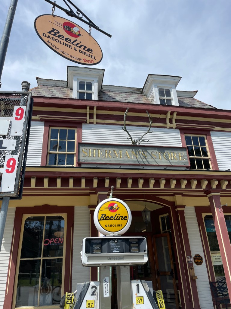
I soon entered Rupert and began the long climb up and down the full length of VT 315 towards the Merck Farm and Forest Center. This place is the real deal and they live their mission to “inspire curiosity, love and responsibility for natural and working lands”. It’s a gorgeous property and I highly recommend visiting or staying there. I had a good steep drop into the village of Rupert and the character changed a bit on the other side. Just as beautiful, but slower, quieter and just a bit more lived in, but in a good way. Much more my style. After a detour onto the D&H Rail Trail which I’d ridden five years prior, I stopped into Sherman’s Store in West Rupert. The sole employee was sitting at a table by the window chatting with a customer whose lovely dog greeted me. As I was rung up for my Gatorade, I was asked if there was some sort of race going on, as the woman at the counter and I had both just seen a large group of cyclists. Thanks to some Strava detective work, I’m pretty sure it was a group ride from the Long Island Bicycle Club. As I sat outside enjoying my drink, another customer on her way in dropped the classic line, “Gotta get a motor for that” on me which enlisted a chuckle and a “some days I wish I had one” from me. I went in to recycle the bottle she was buying a solitary gallon of milk and is clearly a regular. It was just a lovely scene.


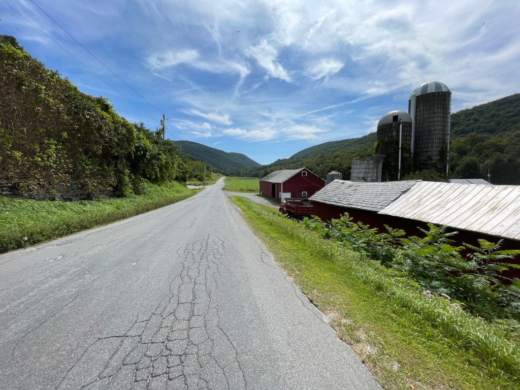
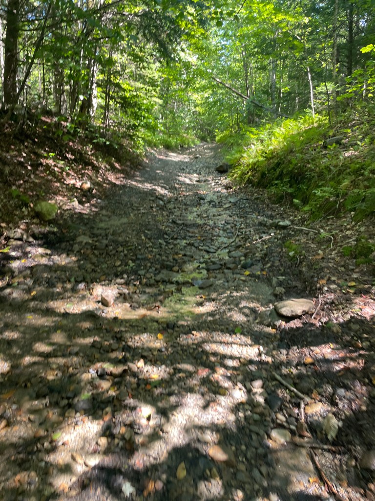
Leaving Rupert’s valley, I began a steady climb alongside the White Creek into Kent Hollow and the town of Sandgate. This town continued the trend of getting more rural and rough: it consists of mainly remote homes tucked into multiple steep valleys. Just one valley over in Beartown (AKA “The Spider”) there are at least six named Hollows: Frost, Corbet, Kate, Moffitt, Wilcox and Hamilton, all presumably named after the early European settlers. I chugged along, looping around an isolated cluster of hills before heading southwest and soon tipping downhill. After reaching West Sandgate Road and was faced with the steep Class IV punch of Tate Hill Road. I actually passed two vehicles on that section: one truck towing an ATV who fit right in and an SUV that potentially took a wrong turn and was wrapping up a harrowing detour. The road remained in good shape as I came back down and I popped out in classic Class IV fashion next to a beautiful old farmhouse that I’m betting is only occupied for part of the year. The road, now called Chunks Brook Road took me down and actually briefly into New York. After ticking off the Empire State, I’d completed my side quests across all four Vermont borders (I didn’t count the few feet of the Crown Point Bridge on Ride 22, since I didn’t touch New York soil).
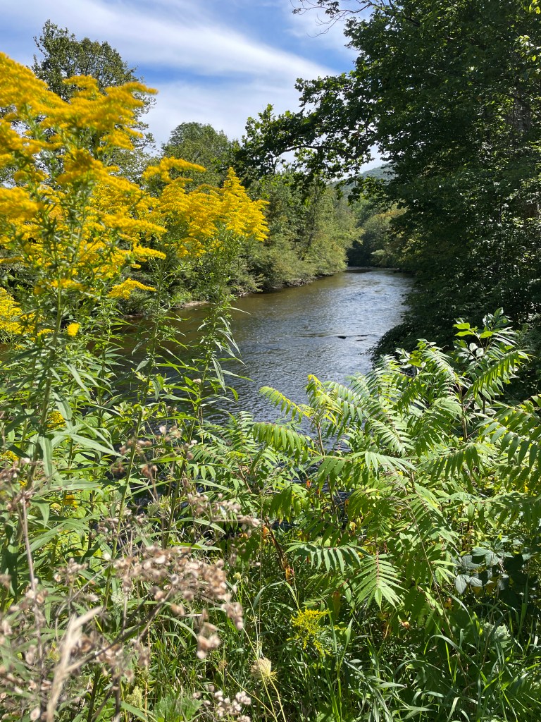
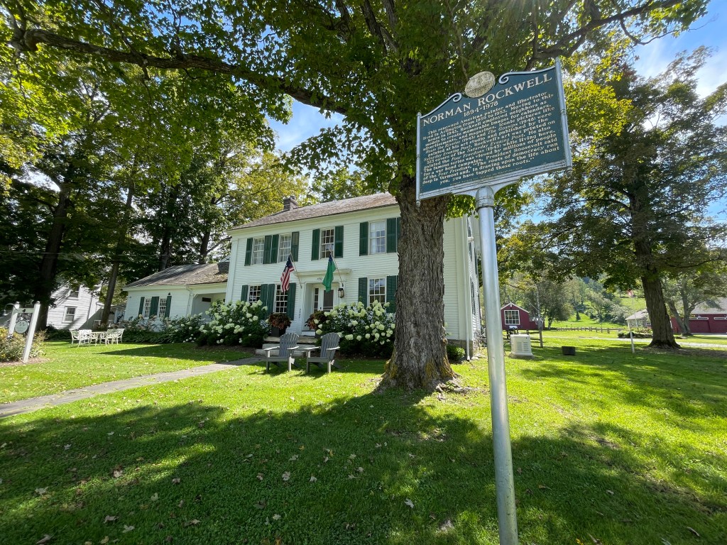
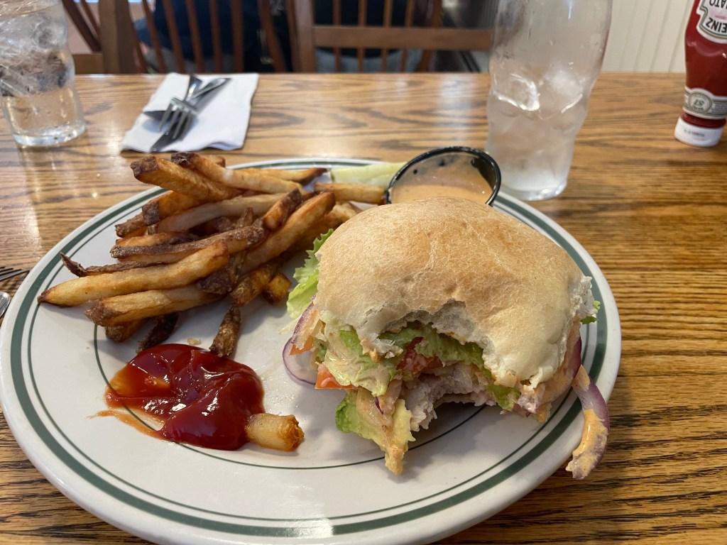
I was now on Route 313 alongside the Batten Kill. From both the flow (towards the Hudson) and the name (“Kill” from the Dutch meaning riverbed) the river showed how close I was to “Nieuw Nederland”. After passing back into the warm embrace of the Green Mountain State, I followed River Road. The Batten Kill is a popular river to both fish and float and there were plenty of folks out doing the latter. I biked upstream and before long saw someone doing some plein air painting in West Arlington which shouldn’t have come as a surprise since it’s a gorgeous valley and also served as Norman Rockwell’s home from 1939-1953. Rockwell of course didn’t do many landscapes and as far as I know worked almost exclusively in his studio, but having grown up only ten minutes away from his home from 1953 until his death in 1978, I have a special connection and affinity for him. My mom even worked in the original Rockwell Museum on Main Street in Stockbridge for a time. Rockwell’s Arlington home is now an inn which got new ownership a few years ago and is part of an effort to revitalize Arlington. I made a brief detour to the Arlington Covered Bridge which was mobbed with visitors, including a family who had set up a tripod right in the middle of the bridge deck to get a video selfie of them walking through. They seemed a bit miffed at me, apparently forgetting that they were standing in the middle of an active road. I pressed on, passing many cyclists and folks out enjoying the beautiful weather. I eventually reconnected with Route 313 and crossed Route 7A in Arlington proper. Maddie and I had decided to meet at a place called Bonnie and Clyde’s and it was closing soon, so I pushed hard, making it just as they were pulling in the open sign, with Maddie arriving soon after, just in time.


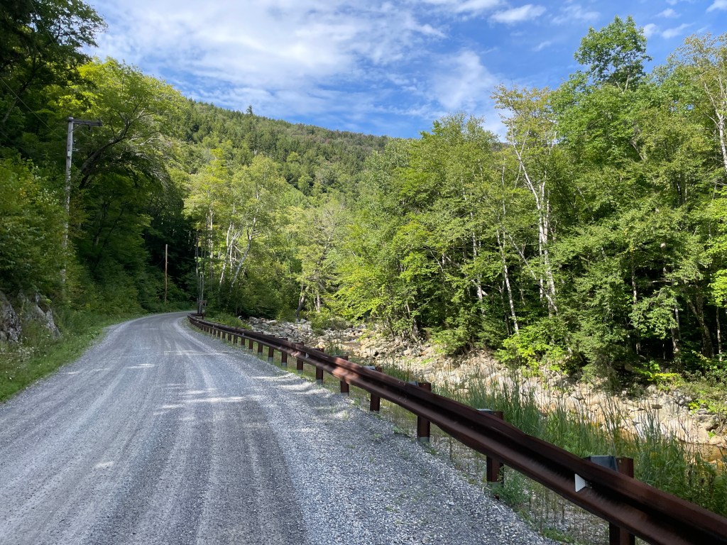
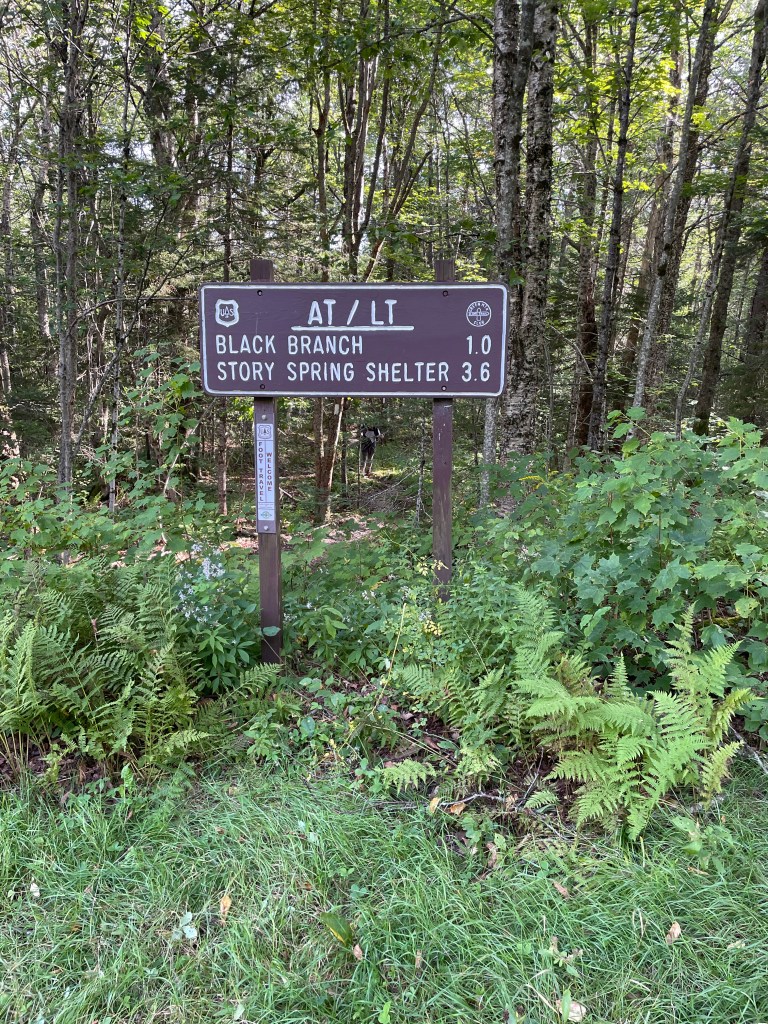
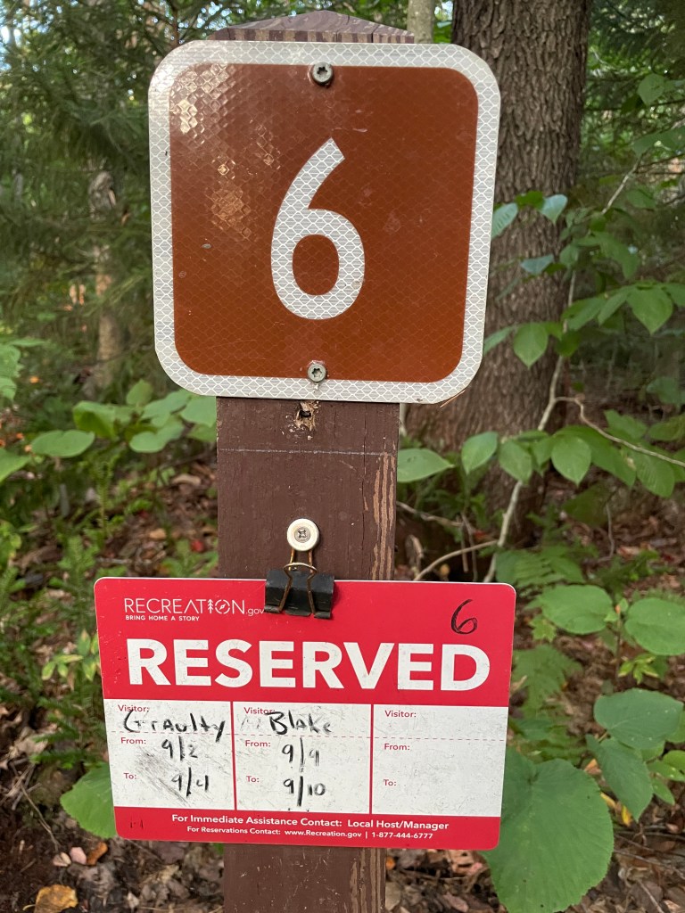
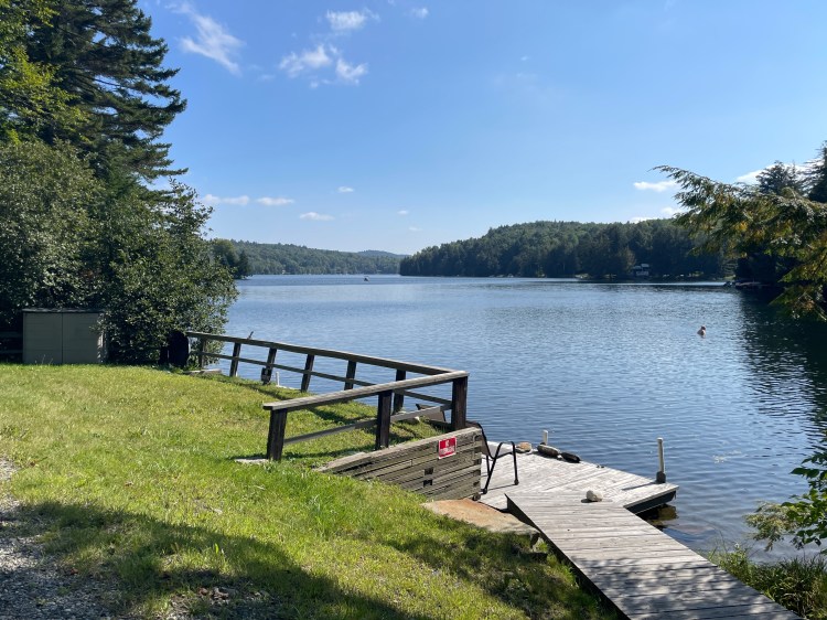
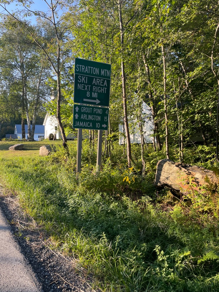
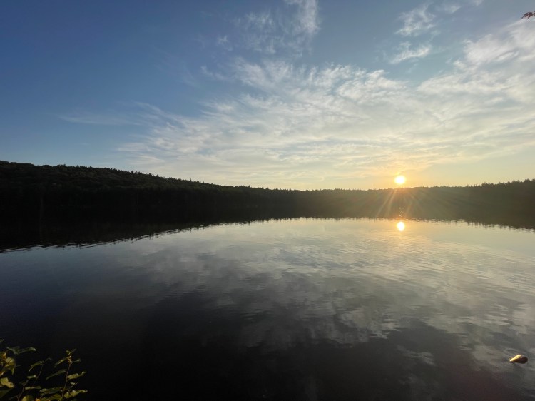
After a quick lunch of chicken salad on greens, Maddie and I again split. She’d enjoyed some tag sales earlier and planned to poke around a few more. It was good to be back in the land of “Tag Sales” by the way, not garage, yard or other types of sales. I however had a long, long climb ahead of me. Starting back in Arlington Village the climb stretches almost 11 miles and climbs 2143 feet with an average grade of 3.6%. It’s not steep, it’s just relentless. Luckily, it’s an absolutely gorgeous area and a quiet road. So I saddled up and began to climb the legendary Kelley Stand Road. The road is named after a hotel run by William Kelley (“Stand” being an old-timey term of a place of lodging). There used to be multiple large logging operations to support the 18 mills along the Roaring Branch. The area had a reputation for wildness, but also patriotic and high minded pursuits. In fact, Daniel Webster made a famous speech at the hotel to 15,000 people in 1840. These days, the trees have regrown and there’s barely anything left of the mills, hotels and other developments: just a small plaque on a rock and a long, grinding climb. I don’t mean to make it sound miserable and while it was tough and monotonous, the steep valley walls and constant companionship of the Roaring Branch made it all worth it. Once I finally reached the top and was solidly in both Sunderland and the National Forest, I had a fun drop down across the Long/Appalachian Trail. I then pushed up towards Grout Pond. It was named after Hudson Grout who had previously lived there, though when the name appeared in the popular Beers Atlas in 1869, he’d already moved. But the Atlas was so popular that the other local names like Stratton Pond, Holman Pond, Carter Pond and Dr. Harvey’s Pond faded away. I pulled into the Grout Pond recreation area and arrived at the car just as Maddie was preparing to bring a second load of gear to our lean-to site. There are some more easily accessible sites on the near side of the pond, but we’d booked one on the further side accessible by boat or a roughly .5 mile walk. Bikes aren’t allowed on the trails, so locked mine up to the car, quickly changed and helped her carry the rest of what we needed to camp. We cooked up some delicious sausage, onions, kale and tomatoes for dinner, played a quick round of Blisters and turned in.


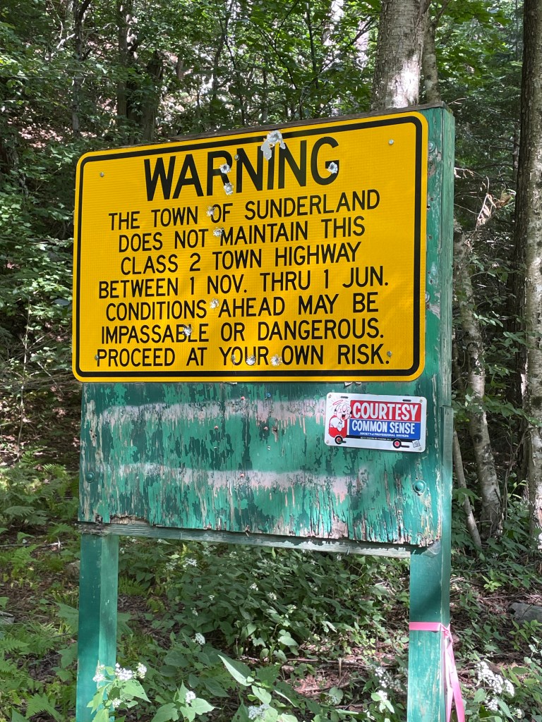

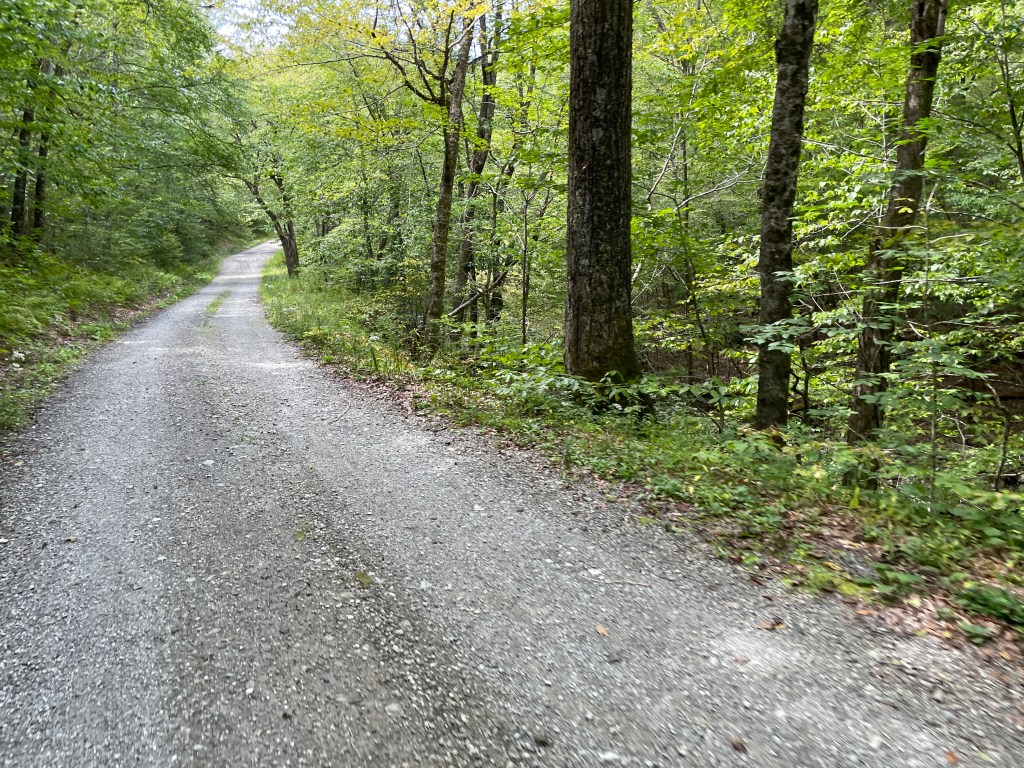
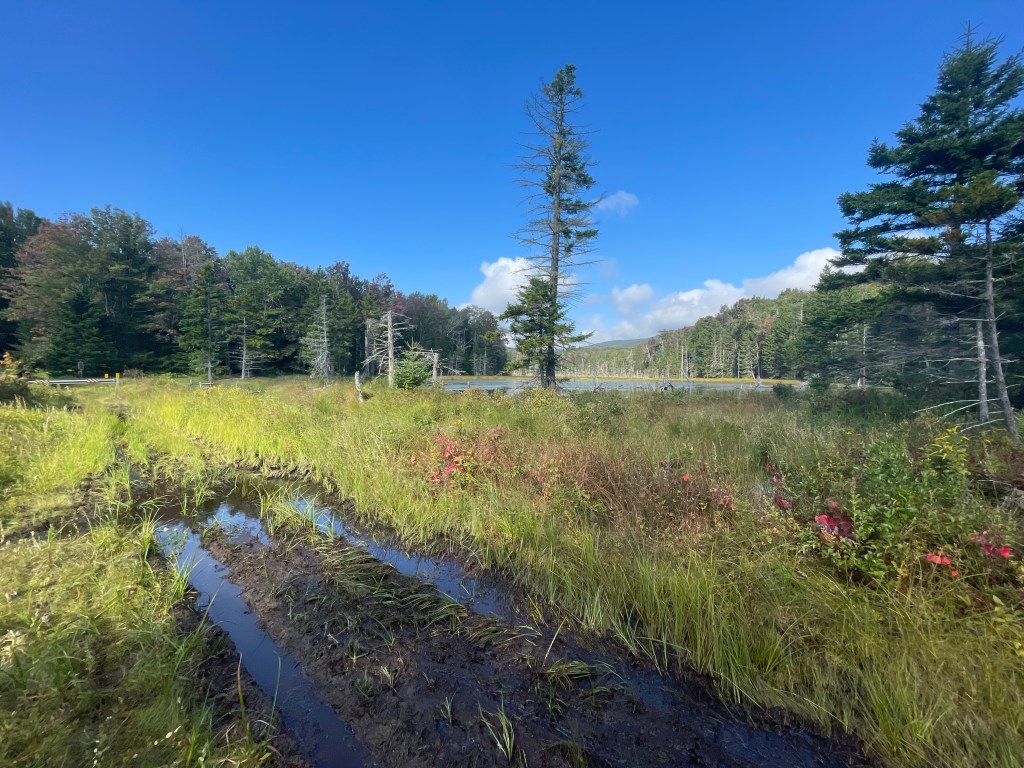
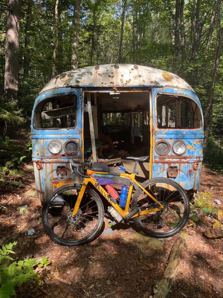
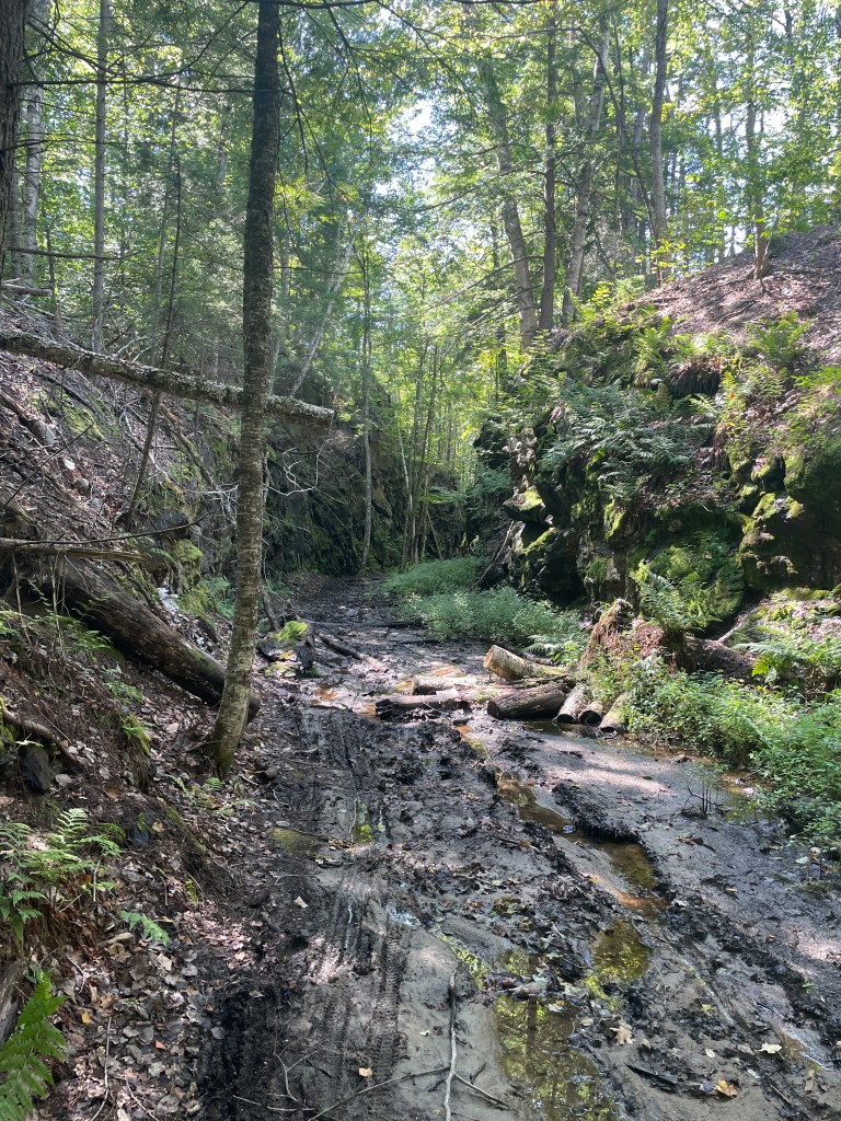
The next morning we had a lovely breakfast of egg sandwiches (shout out to our neighbors Birch Hill english muffins) but I didn’t linger long, since I knew this would be the “crux” of the trip. It was long and had more than a few unknown trails and Class IV sections. So I packed quickly and said goodbye to Maddie with a plan to meet in Wilmington for lunch. I headed back west before turning south onto FR 71. There was a slight climb and I soon caught up with a couple who had also been camping at Grout and were bike touring their way on a loop which would eventually bring them back to Jamaica State Park. We chatted for a bit as we finished the climb and they’re from Hudson MA, about 45 minutes outside of Boston. They were very nice and one of them was wearing a sweet dress with mushrooms all over it. Lots of style points for that! I soon entered Somerset, an unincorporated town which is probably best known for the reservoir with which it shares its name which was created by the first of a series of ten dams along the Deerfield River as it runs into Massachusetts. There was some sad notoriety for Somerset however: just a few days after I rode through, a Massachusetts man died after a tree fell into his campsite during stormy weather. Just shows you never know when an accident could happen. I turned onto FR 83 to enter Glastenbury, another unincorporated town, but one with a much spookier reputation. The town is very remote and has barely any population (9), though it does have some street view coverage! Its far western edge is also host to a short residential road and a few miles of Super 7. I, however, was on the opposite side and was trying not to think about the multiple people who have apparently disappeared in the town over the years. The town is part of the Bennington Triangle, a mini version of the more famous Bermuda zone. In keeping with local superstition, I wasn’t wearing red and was ready for a good exploration. I wasn’t too worried about the passibility of the roads, since the stretch is part of the Roundabout Brattleboro bikepacking loop, made by the venerable Joe Cruz. In fact, I passed three separate groups who (I’d have to assume for two of them) were doing the loop. The timing matched up that they’d be there at that time of day on day two of the three day route. The roads were a good mix of overgrown doubletrack and mucky swampy bits that required some hopping around and riding through deep water. I was pleased to reach Vermont’s own version of the Magic Bus (though ours isn’t as dangerous as the other one was). It does have plenty of shotgun holes, cans and other crap from people over the years. It wasn’t very spooky, though the sunshine and nice temps probably helped.
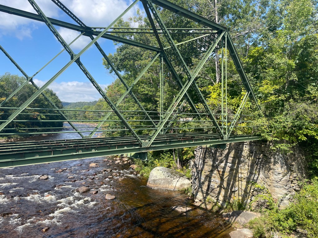
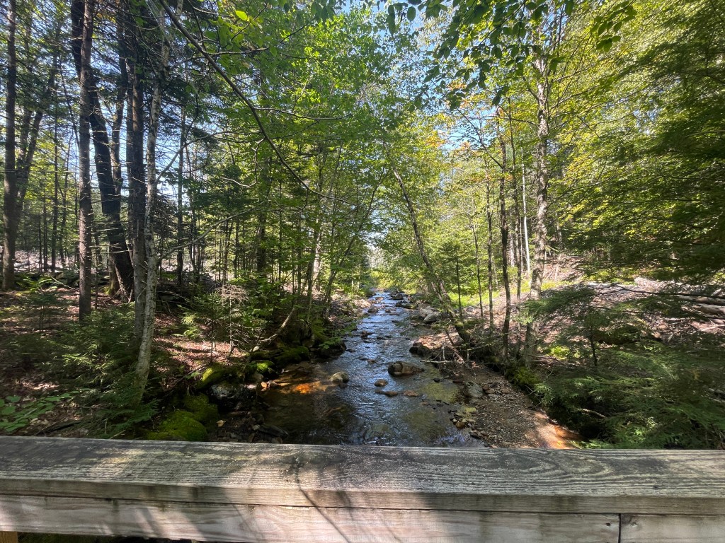
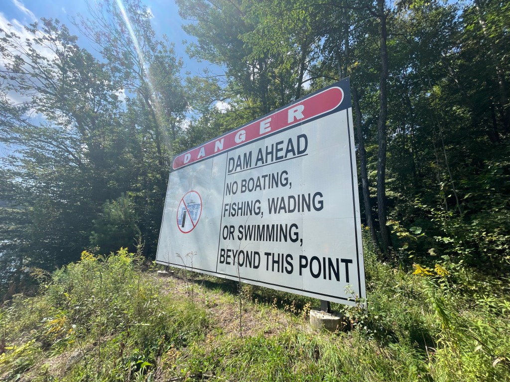
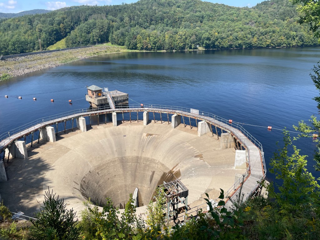
From there, I had a nice long cruise back into Somerset and eventually to Route 9. I entered Searsburg and made my way to the tiny settlement of Medburyville (“Pop 39? Pets 35?”, according the the sign) known for an historic steel Warren truss bridge built in 1896. I was continuing to follow the reverse of the “Roundabout” route and planned to head south along the Catamount Trail corridor despite some rumors and others’ experience that it had been logged recently and was possibly closed. I’d checked with one of the groups headed north and they said it was passable, so I went for it. It was an old railbed and the first section was really nice. There were a few mucky bits in some cuts that had been made through the bedrock, but relatively smooth sailing. I actually came upon a sign referring to an outdoor art tour which unfortunately had been over for some time. They must have forgotten this one. I came upon some slash and other logging detritus but pushed through to reach the smoother trail on the other side. I continued to follow the Harriman Reservoir and got funny peeks out to see power boats pulling water skiers and was even tempted to scare some anglers who had anchored only a few yards from shore, but I resisted the urge. I eventually reached the dam and looped around to eventually connect with Route 100 and enter the village of Whitingham.


Whitingham is tucked along the Massachusetts border. Its village of Jacksonville houses most of the town’s businesses, but I didn’t make it that far east. I did, however, come within a mile or so of the birthplace of Brigham Young, the Mormon leader and second President of the LDS Church. Interestly, not only was Joseph Smith (the founder of Mormonism and its first President) born in Sharon, but it turns out that 5 of the 12 members of the Quorum of the Twelve, an early group of church leaders, were also born in the Green Mountain State! I needed water and stopped in at Whitingham Antiques and Collectibles which the internet believes is closed, but lucky for me, was very much open. The entrance and lobby of the building is shared with the Post Office and the store is a pleasant mishmash of collectibles, antiques and rustic/farmhouse decor items. There were two women in there chatting and we had a nice brief conversation. When I went into their bathroom to refill my bottles, I realized how grimy my gear and I were compared to their spotless sink. I hope I wasn’t too smelly to boot! I thanked them and moved on traveling north. In yet another twist of fate brought on by my after-the-fact research, I discovered that at the same time I was biking through, State Police were on the other side of town searching for clues and arresting a man for a double homicide. One last interesting sidenote to this sidenote: it was the disappearance of Paula Jean Weldon (one of the people who was lost in the Bennington Triangle) that helped spur the creation of the Vermont State Police.
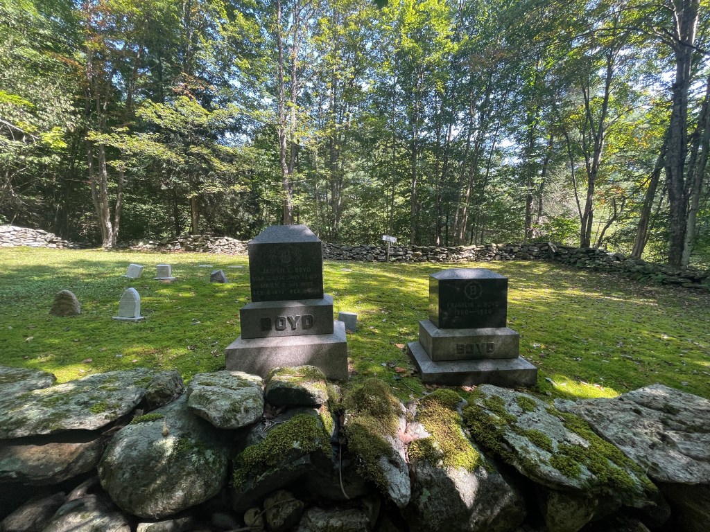
I wasn’t thinking about all the spooky stuff as I continued on, but I was slightly nervous for another reason, I had what turned out to be three Class IV sections to navigate. The first was East Road which is described as a “Creekbed” in the Strava segment. Amazingly there was a convoy of about 6 cars with Massachusetts plates coming down the steep, rocky road. I can only assume it was an extended family and two of the drivers asked for directions to a picnic area. Luckily, they made it through and I hope I steered them in the right direction. The next was Boyd Lane onto Green Road as I crossed into Wilmington. Google street view let me know I’d end up essentially in someone’s yard, but it was a legal road, so I went for it. The entry was a bit funny, as there are a few driveways and roads that all come together, but I made a beeline over a boutique covered bridge, past a pond and a graveyard full of “Boyd” graves, up a steep climb that I needed to walk some of. I scurried though the aforementioned yard and zipped down to Riley Boyd Road, the last Class IV. Street view again helped with the beta, and this was another steep hike-a-bike section, but it was beautiful. I had a long dip down towards the reservoir almost reaching a semi-famous nude beach and one more climb up a plain old Class 3 road with a gorgeous view to the south. I zipped quickly to reach Maddie at Dot’s who’d been patiently telling the waitstaff I’d be there soon. Wilmington in general and Dot’s in particular were really slammed by Irene in 2011, but rebuilt thanks to a huge community outpouring. I practically inhaled a delicious chicken sandwich and enjoyed catching up with Maddie. From the quick view I saw, I really enjoyed the charm of Wilmington. It seems like most of the cars in town had a bike or kayak on top. I definitely need to come back. But given my route, I knew I needed to continue on.


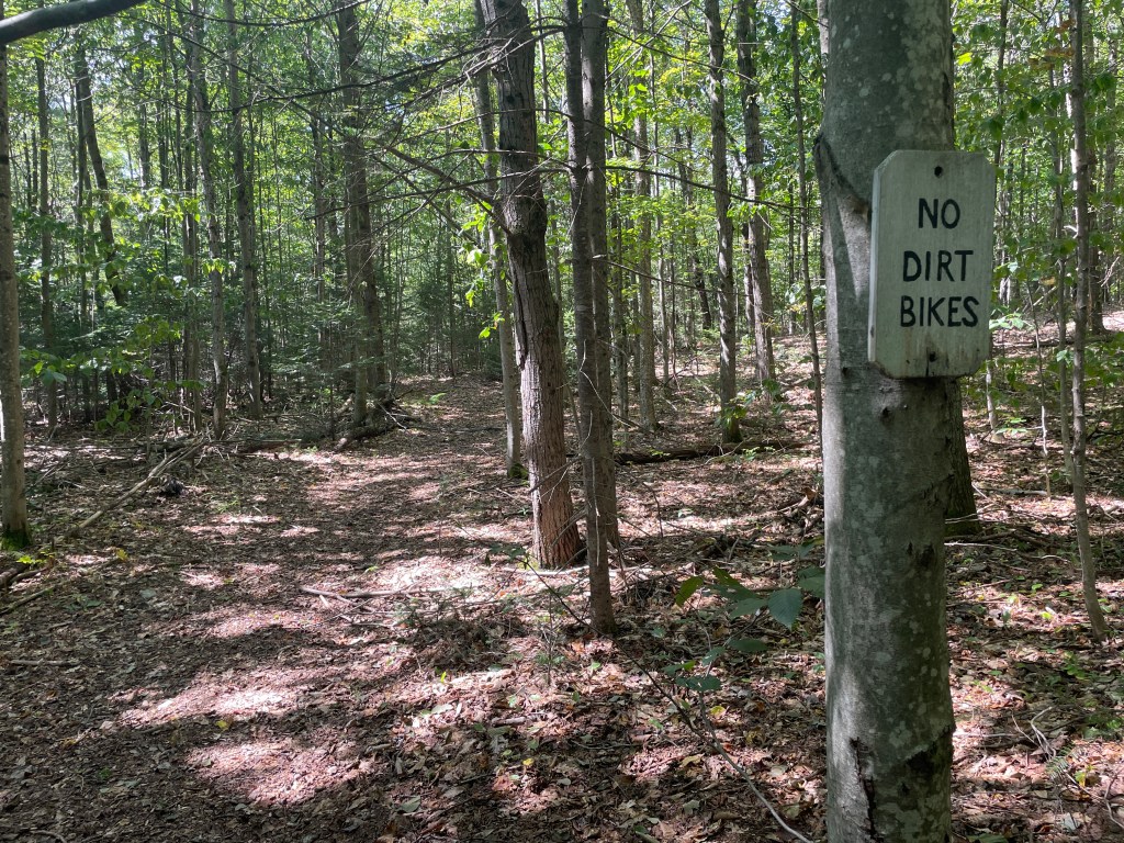

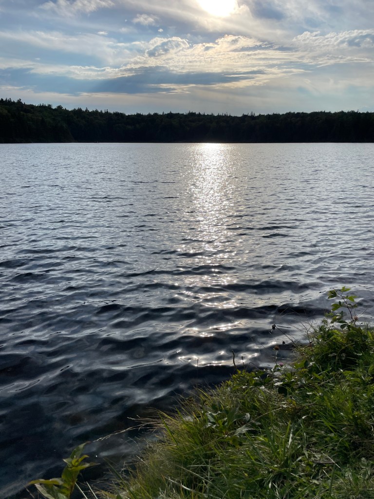
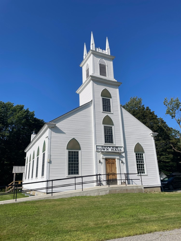
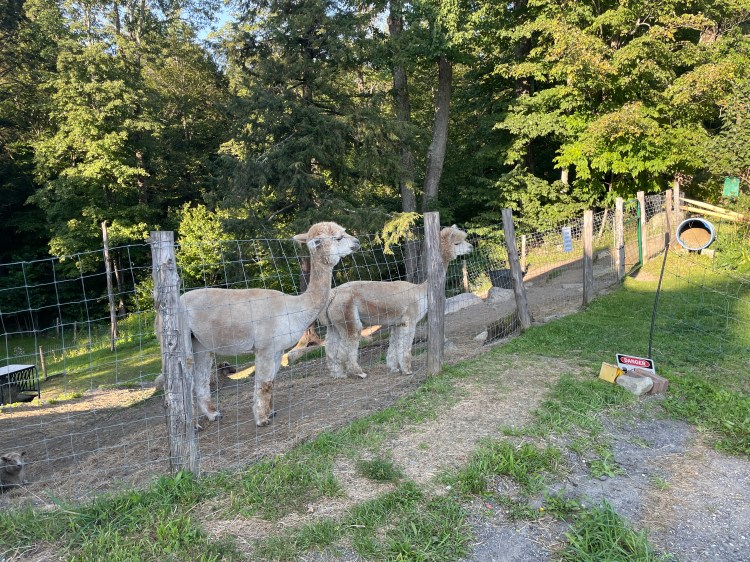
Back on Route 9, I begin to climb out of town, soon taking a left onto Baliou Hill Road. Towards the top of the hill, I passed a few small cabins in a field with a sign that said, “Camp Najerog Est. 1924”. Again, like has happened so many times on this trip, I wondered to myself if it was still an active camp. After getting home and doing some googling, I was horrified to find that the camp was the site of some terrible child sexual abuse in the 50s and 60s. USA Today did an in-depth article on the topic that came out last year. These days the camp property seems to have been split up and there’s a Hipcamp listing still using the name, but it goes to show you never know the history of a place until you do a little digging. I continued around Lake Raponda heading north, passing a ton of swimmers filling the town beach. I turned east again, dipping briefly into Marlboro where I passed a “Free Leonard Peltier” sign. I’d never heard of the Indigenous leader and activist, but his cause seems very worthy. I then dipped down into Dover and an area the maps say is called Goose City. I was excited to get a photo of the “fowl” name, since I have a number of friends who are big fans of Goose (the band). But I never saw any signs with the supposed name and found very little information online! The only semi-solid lead on the name is a claim that a farmer used to raise geese to make featherbeds. Whatever the true history, it certainly was steep. Climbing out of the small hollow on Locust Heights was the first of a few very punchy rollers. I was rewarded with great views, but it was tough, fully out of the saddle, dig deep, kind of climbing. I passed through two seasonal roads, the second of which (Potter Road) was signed as closed but it was 100% rideable and ATV-able as well. I passed Podunk Road, and later learned that the term “Podunk” has some intriguing history. I soon reached the West Wardsboro Store where (after saying hi to the resident alpacas) I refueled before beginning the long, paved climb back up to Grout Pond. The climb was a bit monotonous, but I had a great episode of Radiolab keeping me distracted. Eventually, I got back to camp where there was still just enough light to take a dip, make a delicious gnocchi dinner and relax with Maddie.


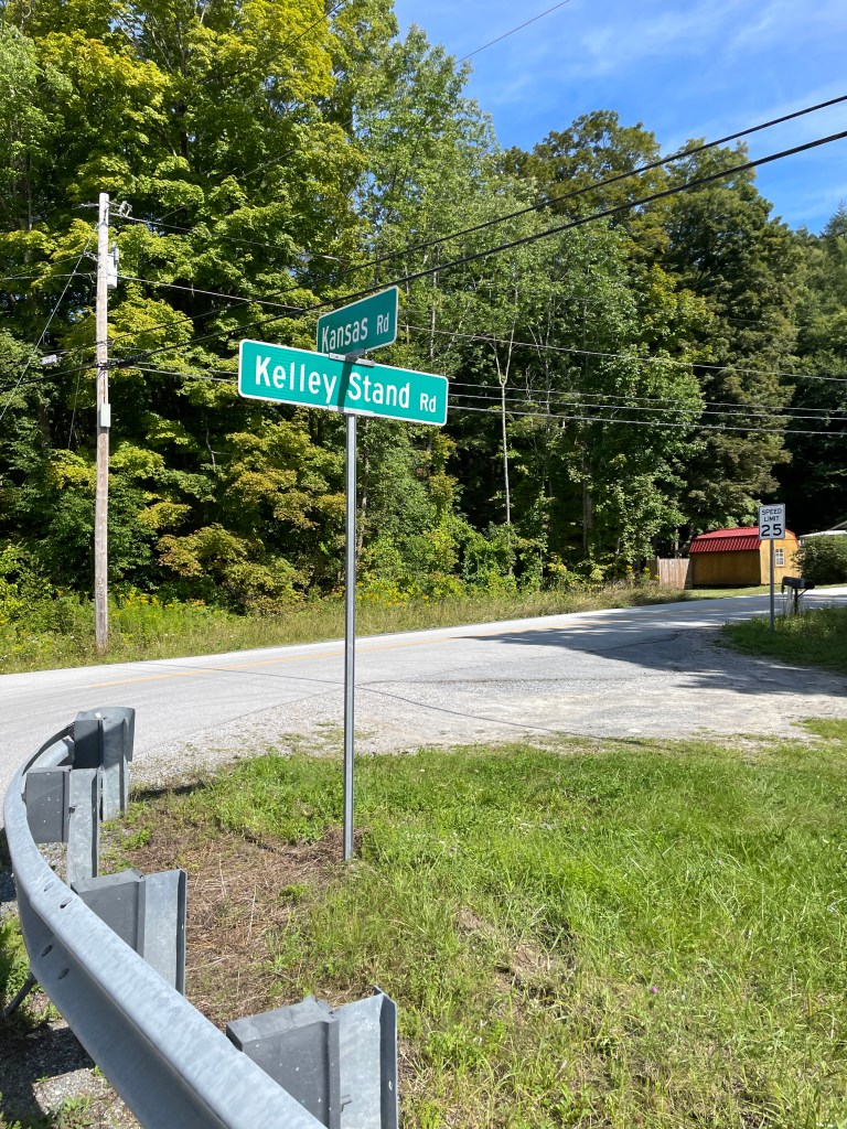
The next day was to be the easiest of the three: only 31 miles and about 2,000 feet of climbing. Plus I got to start the day with a HUGE descent. So Maddie and I packed up and I was quickly on my way west on Kelley Stand Road. I had a short kicker to get up before the long coast down and towards the top I managed to catch up to another rider. Unlike the folks from Massachusetts the day prior, this guy was from New Hampshire and doing the VTXL route, south-bound. His name is Erik Nelson and he did the full route in three days! That’s slower than when Ted King rode it non-stop in less than 23 hours but for context, the route is described as taking 4-6 days normally. Anyway, he’s a really nice guy, we got to chatting and it turns out his dad used to be president of the board of the 251 Club! He didn’t mention the name, but it must be the same Drew Nelson mentioned in this article. How funny is that!? We rode together down the sweeping curves of Kalley Stand and parted ways at Kansas Road. He turned south to take in the beautiful roads of Shaftsbury, Bennington and Pownal, while I turned north to work my way towards Manchester. To my left was the ridge that contains the imposing Equinox Mountain, which creates the west side of the valley and serves as a cultural barrier as well. Like I mentioned before, the Rupert and Sandgate side is much more rural and less hoity-toity and to make the divide stranger, on the ridge there is not only a cars-only toll road leading to the summit of the mountain, but also a monastery called Charterhouse of the Transfiguration which houses an order on monks called The Carthusians who commit to silence and solitude.
I continued north following River Road. I’d planned to take a detour up into the property of Hildene, the historic Lincoln Family Home, built by Robert Todd Lincoln and his wife Mary. It’s now a classic historic home museum: it’s beautifully preserved and maybe seems to be a bit stuffy, but they’re doing some neat stuff as well. I was hoping I could access one of the many trails that crisscross the property and some faint blue on the Strava heatmap gave me hope I could (plus there’s even a Strava segment!). However, when I reached the trail, I was denied by an emphatic sign: not only were bikes not allowed on the trail, non-guests weren’t either. Spruned, I continued north, passing some truly stunning, but frankly ostentatious homes. I then entered Manchester Village with its marble sidewalks, sprawling Equinox Resort and other historic buildings passing me by. I then zipped past the Orvis Flagship Store (the corporate offices are back by the bottom of Kelley Stand) and closed in on the heart of Manchester Center. Maddie and I had timed it well, so we met up outside of one of our favorite bookstores (Northshire) and made our way to go get lunch.
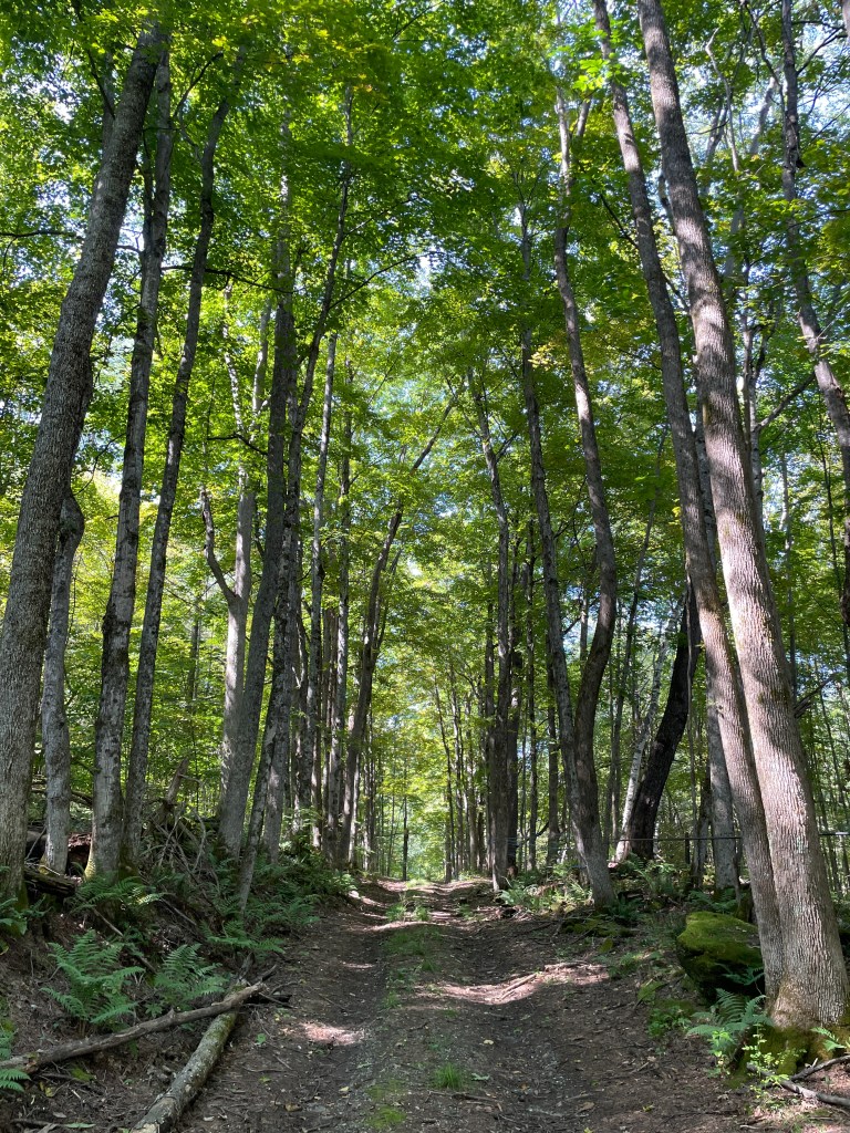
On the walk out from the campsite 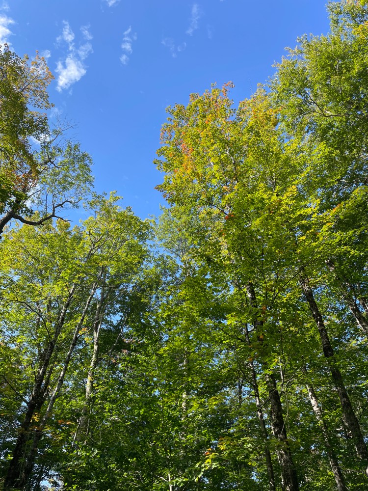
Color creeping in 
Erik bombs Kelley Stand 
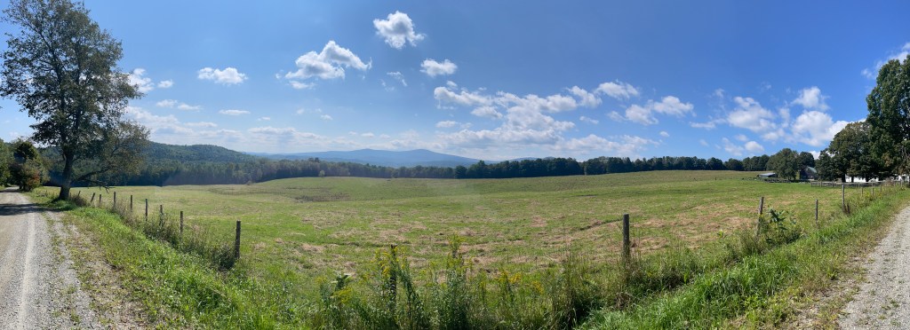
Equinox Mountain from Borough Road, Sunderland 
A typical, older, well-kept Manchester home 
Not today 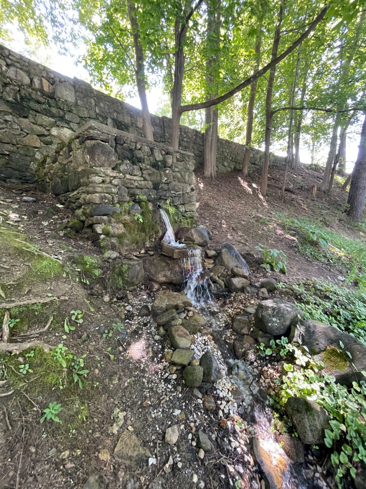
Water for horses and regular folks on the road 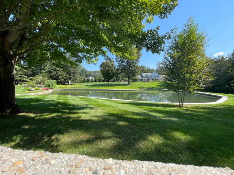
I mean, do you really need your pond ringed in marble? 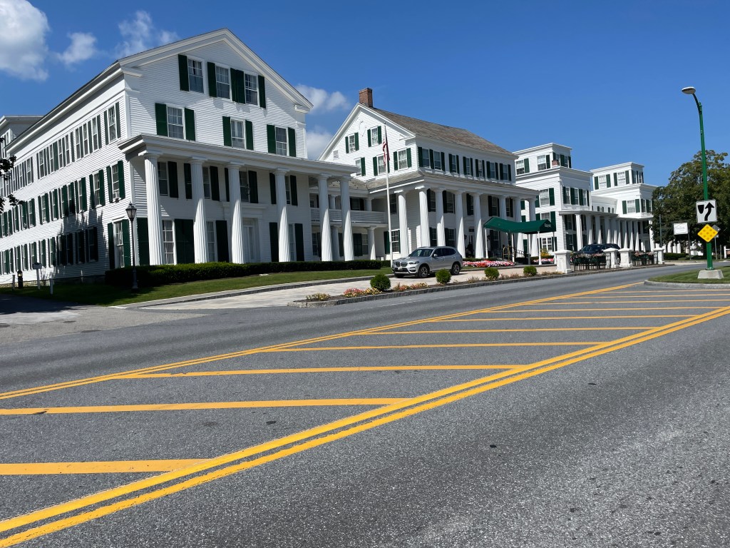
The front of the Equinox Resort complex…it goes on in the back 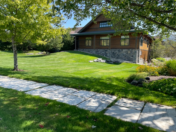
Orvis (note the marble sidewalk)
Since it was Labor Day, we were worried things may be closed, but we soon found Roadrunner, a trendy little spot that just opened this year. We each got a “Lunchbox” and they were delicious. The place had a funky vibe with fun tchotchkes and little “Roadrunner” themed touches, though there were no Jonathan Richman records, which I was disappointed by. (Side note: make it the state rock song of the Commonwealth already!) After a lovely meal, Maddie and I split again, with the plan to meet in Dorset. At this point I’d reached every town, but I really wanted to complete the loop. So I headed north while she did a bit more poking around Manchester. My next few miles were on a series of recreation paths that wound around soccer fields and eventually to Pig Pen Road. The paths actually continue north, but I wanted to get across Route 30 to hit up a small Class IV section called Pat Kelley Road. It ended up being in great shape, especially the first few hundred yards, since they’re used for sugaring. I then popped out onto East Road, taking 3 Maple Drive north. Again, there were some amazingly swanky homes in this area: from hobby farms to micro estates and sprawling compounds. The properties all butt up to the ridge, much of which is preserved by the Nature Conservancy. There is also a road called Beartown Road that appears to connect over to Sandgate. I’d love to come back and explore that some day.
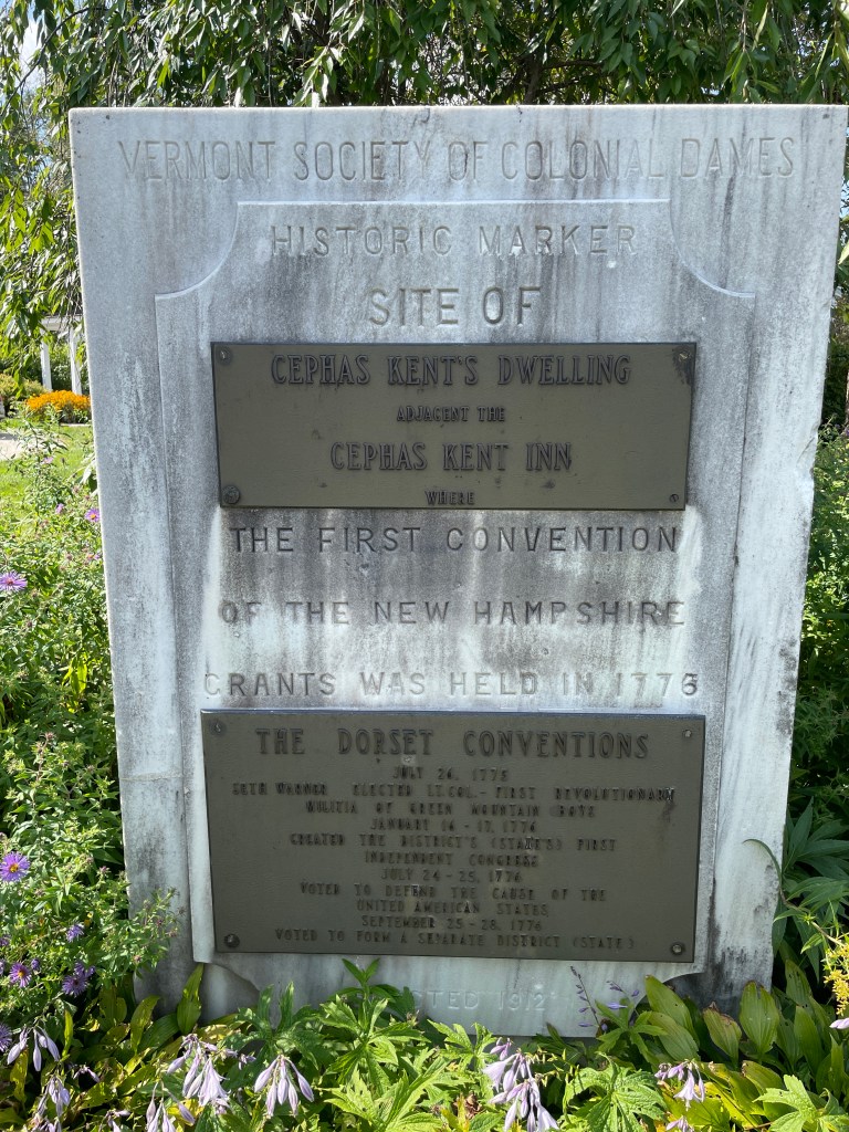
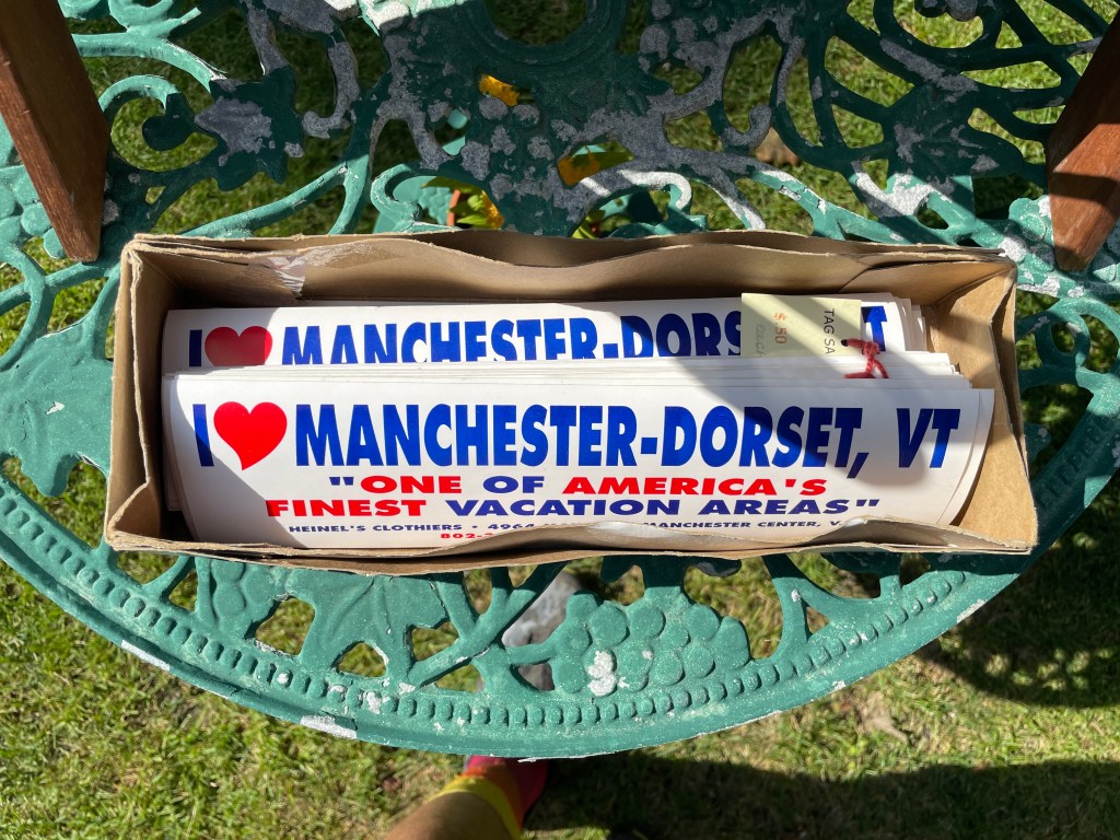
After a steep drop, I hooked up with Dorset West Road and soon passed a large stone monument with two metal plaques. Erected by the “Vermont Society of Colonial Dames”, it recognizes the site of the First Convention of the New Hampshire Grants. Despite the somewhat funny sounding name, the “Dames” are still active and have some good perspective on the “complex issues surrounding privilege, exclusivity, and relevance of their society in today’s world”. I continued on, making a quick detour to a tag sale, but didn’t find anything too amazing, except some fun bumper stickers (see the photo below). With the temperature rising, I decided I didn’t need to 100% close the loop and instead of meeting Maddie on the Dorset Green I’d meet her at the Dorset Quarry. Once the country’s oldest commercial marble quarry, it has long been a nationally recognized swimming hole. It’s been privately owned for years and while the former owners allowed swimming, there was always a tension with folks not respecting the space. However, under new ownership, there’s an online waiver to sign, the adjacent lot has been fixed up and there is now a fee to park (but it’s free if you bike in!). I very happily jumped in and enjoyed the cool water and people watching. It’s really quite a magical place, though the periodically shouted peer pressure gave it just a tinge of toxic masculinity. However, don’t let that steer you away. It’s certainly worth a visit. Maddie came by after I began to dry off, we packed up and began the beautiful drive north on Route 30. This really was a fantastic route and a fun way to do a multi-day bike trip. I only have two routes left to ride and the next one is coming right up. If all goes to plan I’ll have this whole Dirt 251 thing wrapped before the snow flies!


The Details:
https://www.strava.com/activities/9783683644
https://www.strava.com/activities/9783685723

2 thoughts on “Ride 40: Dorset, Rupert, Sandgate, Arlington, Sunderland, Stratton, Somerset, Glastenbury, Searsburg, Wilmington, Whitingham, Dover, Wardsboro & Manchester”