There was a much shorter gap between rides 38 and 39 compared to the previous two. Plus the commute was a lot shorter too. These towns and roads and some I’ve ridden a number of times during the course of this project, and constitute some of my favorite local areas to ride. When explaining the concept of what I’m doing to folks, one of the minor bits of pushback I get commonly comes around this point. “But you’ve ridden in those towns!” people will say. But as my “Rules” point out, I need to have intended for a ride to count towards the whole Dirt 251 thing for it to officially tick off the towns. So even though I’d ridden in Underhill, Cambridge and Fletcher many times before, I decided that this weekend was the time I’d make it 251 official!
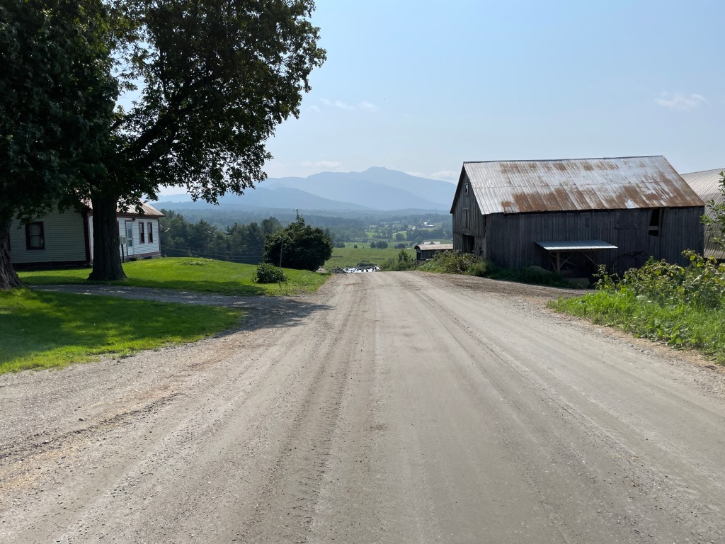
Along on this ride was Brad, my most stalwart riding partner. Not only is he a very reliable “yes” when asked to join, I told him that this route included Kruse Block (more on that later) and because it would be my first time riding Kruse he made me promise that I wouldn’t ride it without him. It’s a favorite zone of his and we wanted to be the one to show me. So we met up on a sunny Sunday morning at Saint Thomas Church in Underhill Center. We were sure to park on the far corner of the lot, as there were services starting soon, though I don’t think the pews and parking spots fill fully, or at least that’s what recent trends would have me believe. We were packed up quickly and were soon rolling out towards the imposing figure of Mount Mansfield. Underhill has a few different sections and many more amazing roads, many of which I needed to skip for this route: From Mountain Road to Stevensville and from Cilly Hill to Poker Hill there are just too many to squeeze in. But we pedaled east passing the beautiful Tomasi Meadow and Casey’s Hill properties which have had their views preserved forever. We then passed the entrance to Underhill State Park before working our way up beside the Proctor Maple Research Center before finally turning off onto Corbett Road.
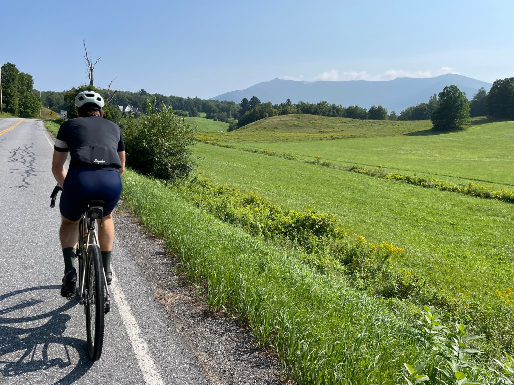
From here there is an easy entrance into the Henrik Kruse block of Mount Mansfield State Forest, the 39,837 acre parcel which spans the state’s highest peak and some of its most stunning and sensitive environments. According to the management plan, “For management purposes, the forest is divided into smaller units called blocks, usually determined by natural features. Mt. Mansfield State Forest consists of 12 blocks.” This particular block has a double track road leading up to a clearing from which a trail leads back down to Corbett Road, making a nice, steep loop. Brad and I gritted our teeth and began the slow slog up the climb. Having recently finally caught Covid, I was a bit slower than I’d like to have been, but I made it to the top, stopping only once on the steepest bit, just to take a photo (I swear). We enjoyed a unique angle of Mansfield and then the single track down was a fun, not-technical descent. We then took a small connecting trail over to Deane Road. The top of this road is actually where Brad and his now wife Krysten got married five years ago and I biked up Deane Road to get to their rehearsal. It was one of the more radical things I’d done on a bike up to then. Heading down Deane was much more pleasant than the climb those years ago on a steel touring bike and we popped out across Pleasant Valley Road and onto a Brewster River Mountain Bike Club trail. The bulk of the club’s trails are in this area and Brad normally isn’t one for single track, but since I planned the route and I decided to use that privilege to force him onto some. It was amazingly pretty dry and as far as I could tell hadn’t been ridden as part of the Tour de Valley, BRMC’s big annual fundraiser which had happened the day before (when it was in the 50s and raining. Yuck.) We popped out by Valley Dream Farm and continued on Upper Pleasant Valley Road, which included a lovely dirt section for some odd reason. Maybe it got damaged recently by the rains? We then turned onto Bryce Road and enjoyed some of the best views of the aforementioned valley and back up to Mansfield. It’s one of my favorite roads in the area: for the views and for the drop down into Cambridge, where we’d soon be.
Brad, Casey’s Hill and Mansfield 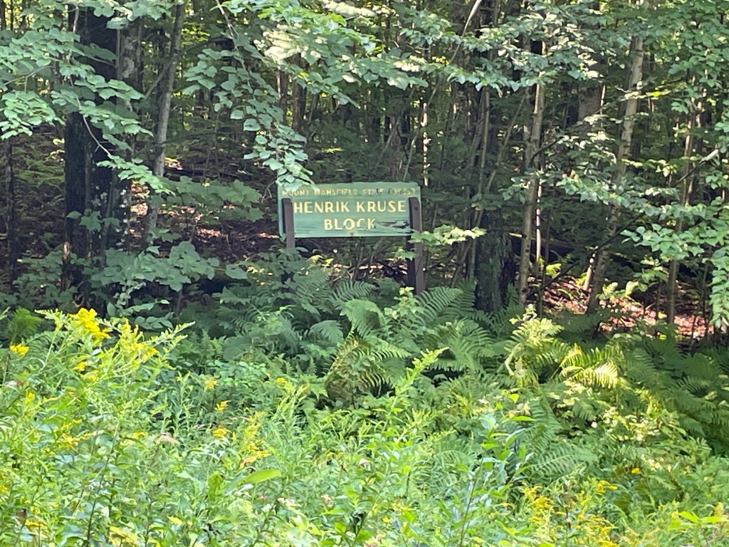
Kruse-ing for a brusing 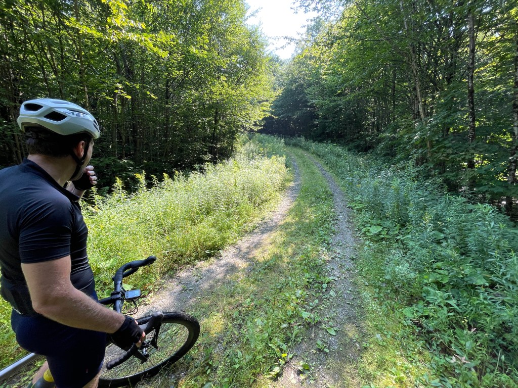
Contemplating the steep pitch 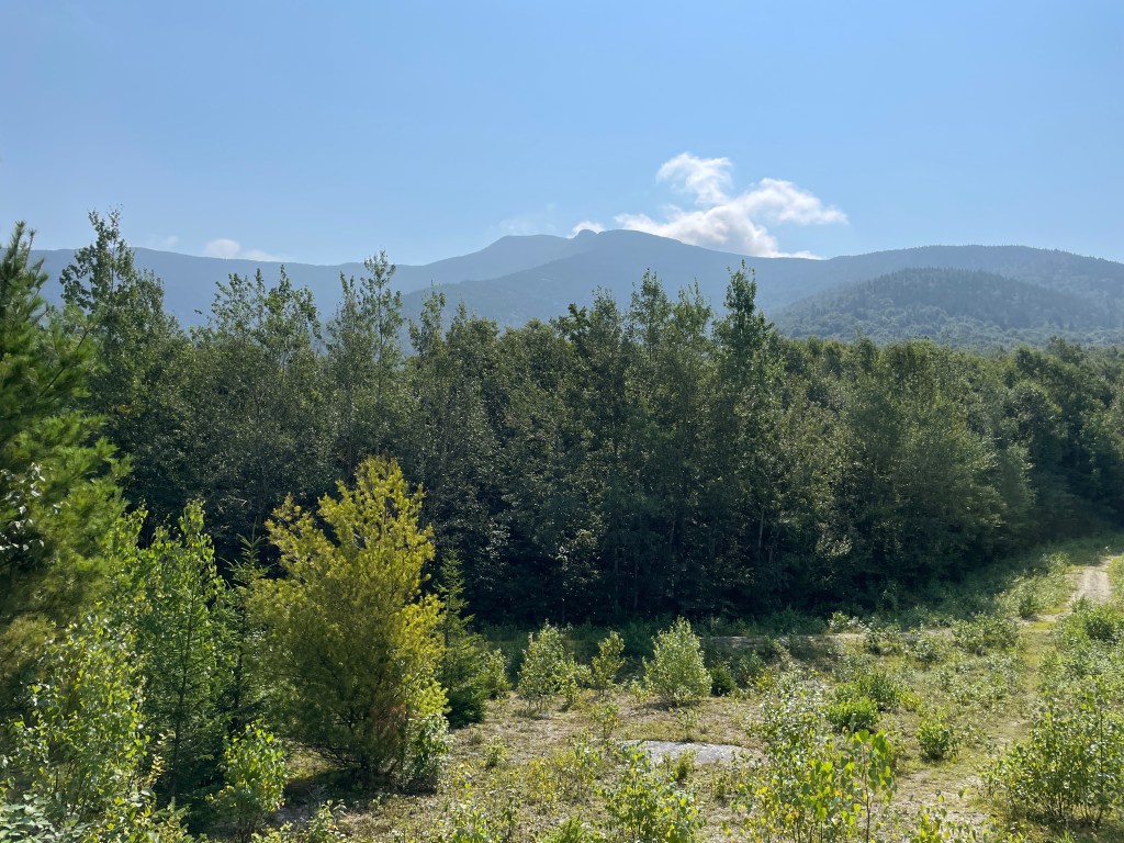
What a cool angle! 
Maybe Squabetty should consider a name change? 
Connecting over to Deane 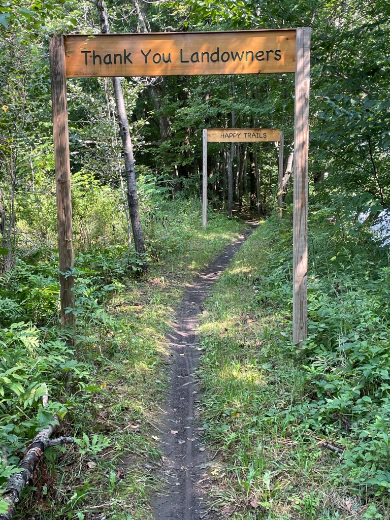
BRMC doesn’t let you forget why you get to ride here 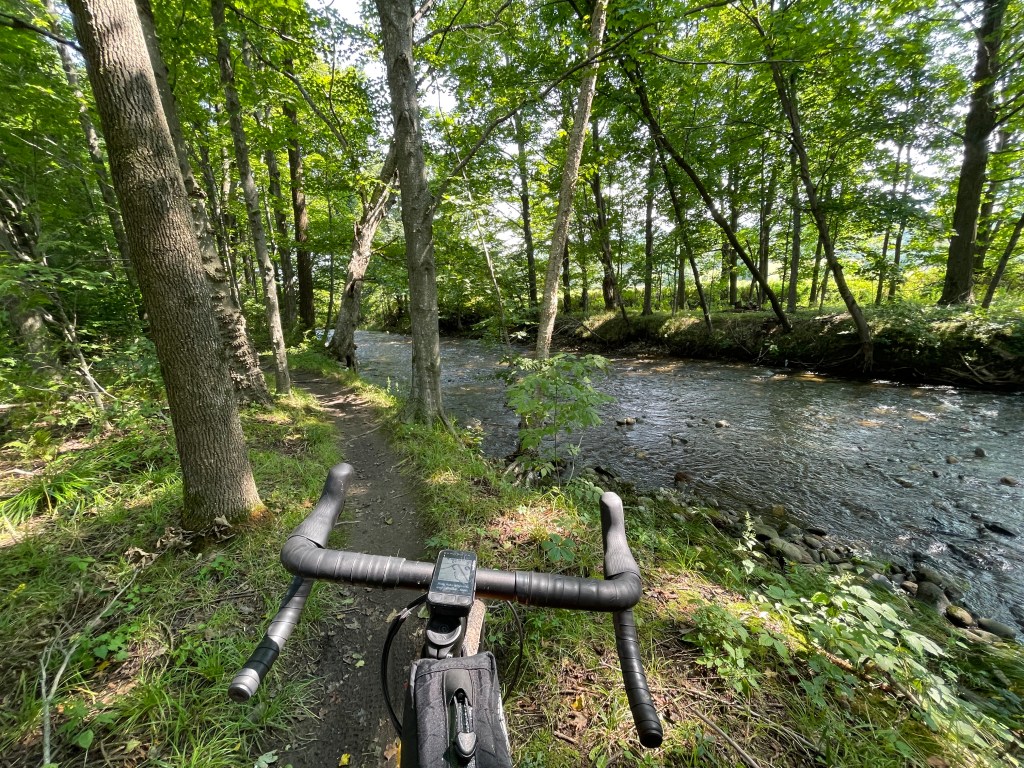
Gorgeous stream-side single track 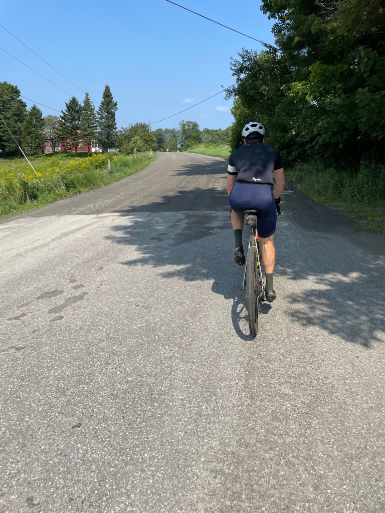
If only this whole road was dirt… 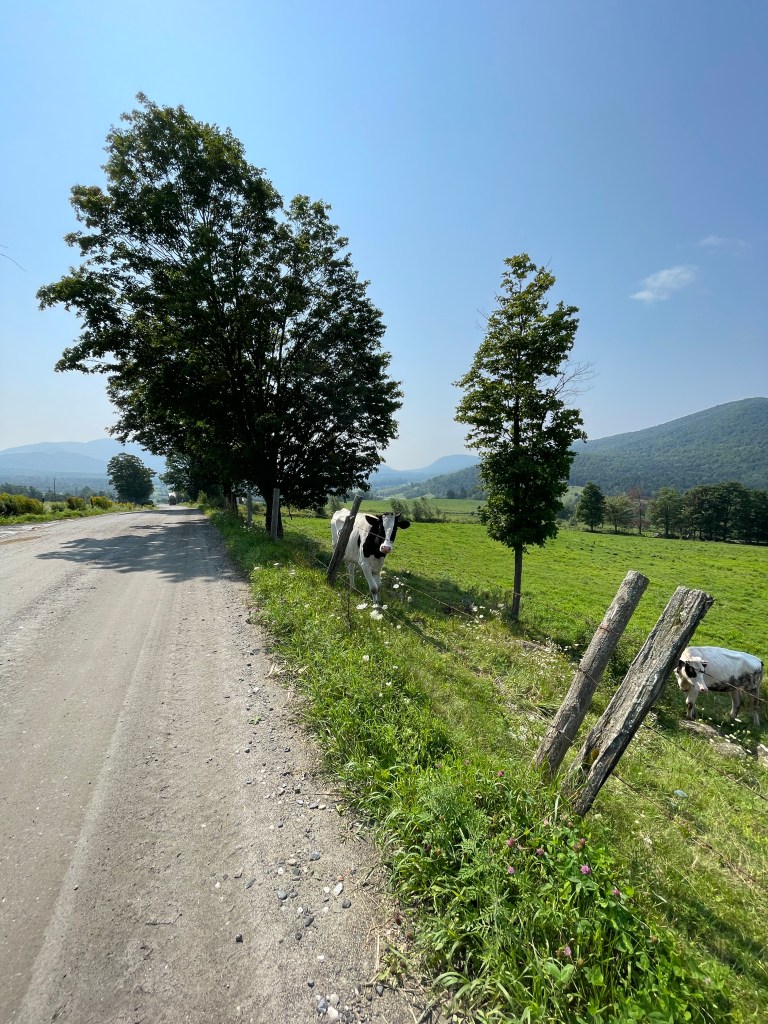
Nice view you have friend
During the recent flooding, Cambridge was hit quite hard. The waters have receded and most of the piles of sodden belongings have been taken away, but there seems to be a lingering sense of vulnerability and loss. Sure the Lamoille River that typically meanders a few hundred yards away has flooded in the past, but this was different and has left some invisible, though indelible scars. On this day, the sun was shining and we stopped into a typical scene at the Cambridge Village Market which has served the community’s food needs for over 150 years! They were kind enough to let us refill our water bottles behind the deli counter and we continued east on Route 15 over the “Wrong Way Bridge”. As you cross, the bridge curves to the left (towards Fletcher), even though the road continues to the right (towards Jeffersonville). I’d always heard a rumor that the official in charge of the construction lived in Saint Albans, which sits north of Fletcher, so he favored an easier left hand turn. The real story is, of course, much more complicated and interesting. We had to navigate our left turn onto Pumpkin Harbor Road without a left turn lane, but did so with relative ease. We followed the Lamoille’s north side for a bit, getting views of ruined feed corn and Mount Mansfield beyond. We eventually crossed into Fletcher, passing the school, town offices and General Store. Brad shared a quick story about the store cat named Mystery and how the entire front porch is his domain with most surfaces covered in his fur.
We enjoyed the rolling hills before reaching North Road which heads up into the steeper, more forested parts of town. Before making the turn though, I was saddened to see that the Vermont license plate house that had stood at the corner of North and Fairfield Roads had been demolished. All that was left was a pile of rubble. No sign of what happened to the metallic, state-issued siding. As often happens with these rides, it was because I write these posts that I dove a bit deeper into the history and thanks to the stalwart Chad Abramovich, I learned a whole lot more about the house, its history and why it was the way it was. If you’re not normally a link clicker in these posts, I’d strongly encourage you to click that one. The sun was shining strongly now as we pedaled up North Road. We passed a few Highland cattle that gave us a stare through their thick bangs. We stopped briefly in the shade of an enormous oak tree before we reached Metcalf Pond Road which took us down to its namesake, a beautiful pond tucked into some hills with a light sprinkling of camps surrounding it. We continued to cruise down the gentle rollers eventually making our way onto the Lamoille Valley Rail Trail. Governor Scott had planned to ride the full length of the trail to celebrate its completion, but had to delay the ride, due to the flooding. Much of the trail was damaged, but about half has now reopened. Luckily for us, that included the stretch that parallels VT 108 which was riding smoothly. We passed an old double-decker bus labeled “Riverside” which you can see from Route 109. I’d always assumed it was from the amusement park near where I grew up that used to be known as Riverside (now Six Flags New England). Again, I did a little detective work and sure enough (thanks to a Reddit post), I found a photo of a similar bus if not the very same one from the park! We hooked up with the small trail spur that runs into Jeffersonville and headed into town, past the Burger Barn (I definitely recommend the Ethan Allen) to get to The Cupboard.
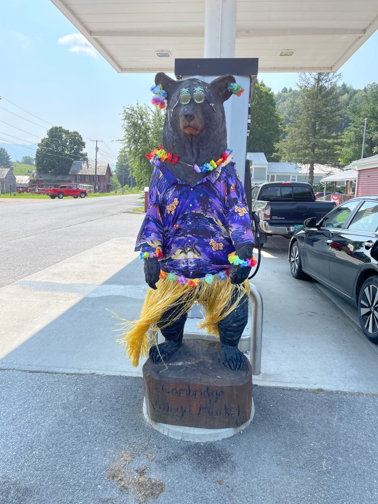
“Safford” the Cambridge Village Market bear, in tropical summer mode 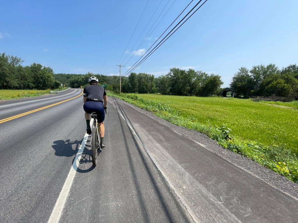
Approaching the Wrong Way Bridge with The Gates Covered Bridge visible to the right 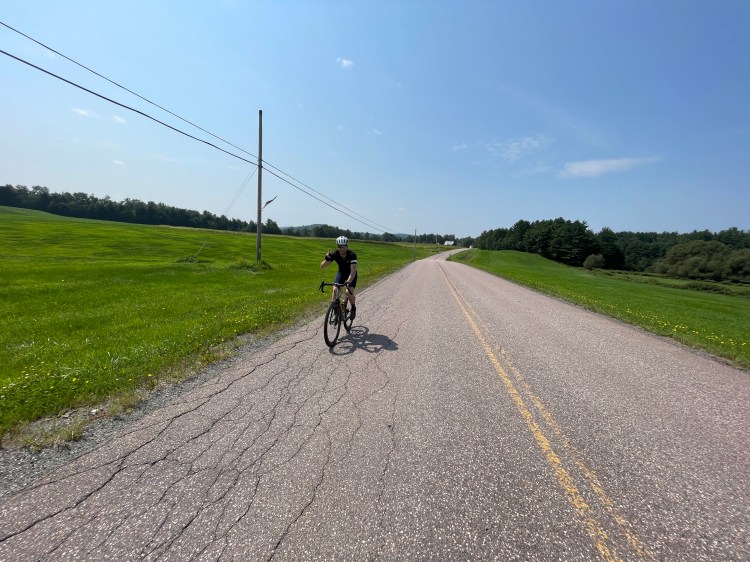
Bucolic Fletcher 
All that’s left of the license plate house 
A Heilan’ Coo! 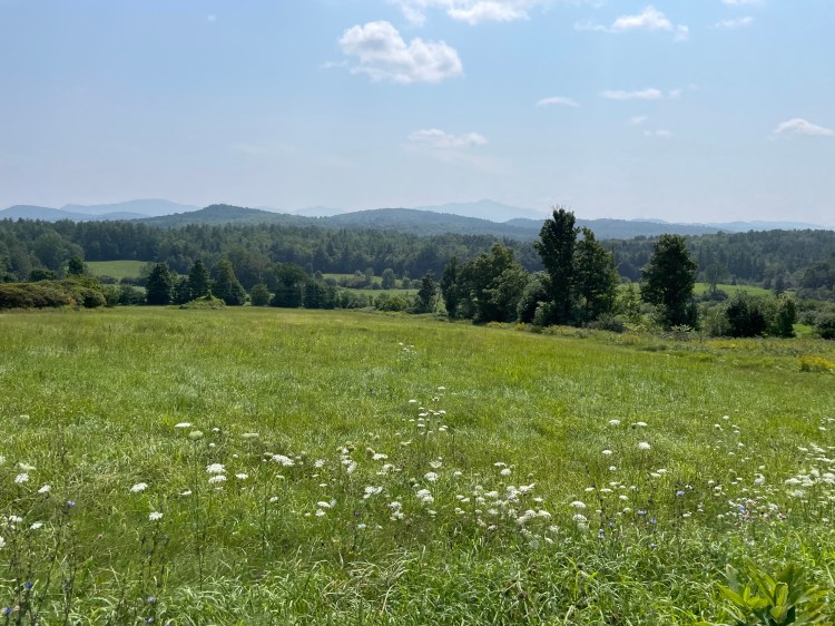
More views to Mansfield 
How many peopled have been shaded by this oak? 
Metcalf Pond 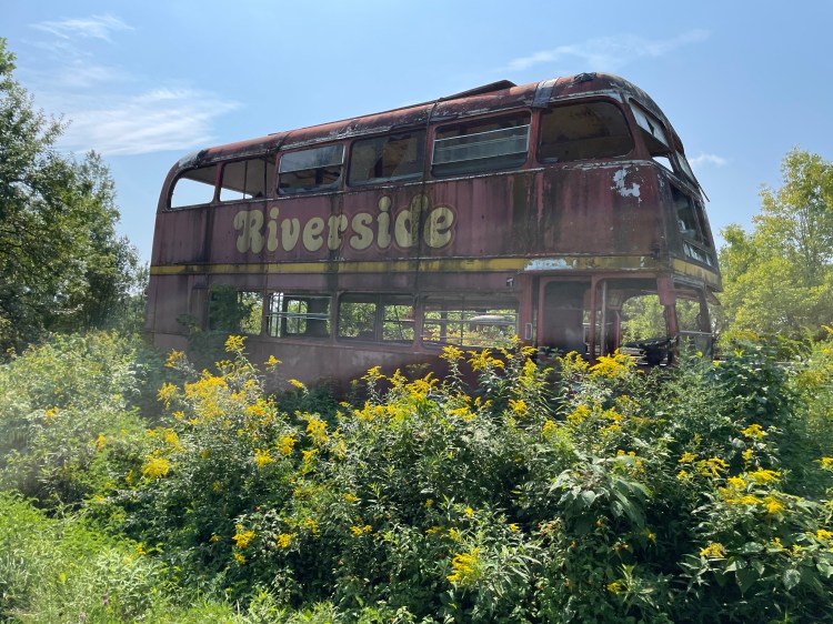
Who drove this thing up here??? 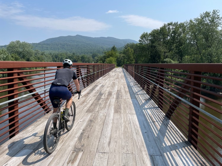
New bridge over the Lamoille with Sterling Ridge beyond
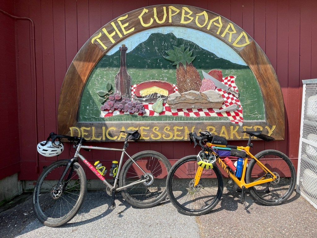
One of my favorite pre, mid and post activity stops, The Cupboard is a store that has its identity dialed and is fully embracing who they are. Every morning they have an amazing array of donuts. They often sell out quickly, especially during ski season, so it’s extra motivation beyond fresh snow to get up early. Plus, they have an incredible array of pre-made sandwiches, most of which are wraps that they can quickly microwave (in the plastic bag I might add) and can provide sustenance to many a weary recreationalist. Smugglers’ Notch ski area is right up 108 and we also pass this way coming to and from Green River Reservoir canoe trips, so I’ve been in many, many times. I typically get the basil chicken, which is heated in the oven, but I wanted the full Cupboard experience, so I got a buffalo chicken wrap (zapped up of course) and was not disappointed. Brad and I sat at some picnic tables in the back enjoying our lunch before heading out. As we were about to pull away from the parking lot I saw an old record on the side of the road. It turns out to have been “The Restless Gun” by Sons of the Pioneers which apparently came out in 1957. Having no place to carry it, I left it for someone else to grab, though it was admittedly very much not playable. We turned into the heart of Jeffersonville which is a village of Cambridge, but certainly has a bigger downtown and it includes the great shop Bootlegger Bikes as well as a few other lovely businesses. We didn’t linger, but instead headed up 108 turning to cross the Grist Mill covered bridge which spans the Brewster River. The road pitched up a bit and the views opened up as we turned onto West Farm Road. The whole area (a 634 acre parcel) is known as the Brewster Uplands and has been conserved by the Vermont Land Trust. The views south to Sterling Ridge and Mount Mansfield were great despite the growing haze. As we continued past the farm and onto the Class IV section of road, I reminisced with Brad about how he had led a group run along this stretch before his wedding (and before he’d discovered gravel cycling).
We crossed back over the Brewster River at a sneaky good swimming hole and had a quick, punchy climb on Stebbins Road to eventually connect with a class 3.5 section called Thompson Road. The downhill here is just so pleasant. There are barely ever cars, the road is nicely narrow, but also smooth. It’s a favorite. We got even more fun angles of Mansfield before looping back to Valley Dream Farm to begin our long climb up Irish Settlement Road. The name comes from the conglomeration of Irish immigrants who moved to the Pleasant Valley area starting with John and Felix Doon who came from County Armagh in 1823. According to Pre-Famine Irish in Vermont, 1815–1844 By Vincent Edward Feeney “By 1840 about 9 percent of Underhill’s 1,441 residents were Irish” and the majority were in that area. Interestingly and backwards from the “old country”, there is an English Settlement Road in town, just to the EAST as well. I had initially planned to have us take Fuller Road which becomes a Class IV track through some swampy areas and connects through to the town garage. But the prospect of mud and stream-fording wasn’t desirable at that point in the ride. Plus the land owner on the north end of the road is a notorious curmudgeon, posting pissy No Trespassing signs along the road and even going to the Vermont Supreme Court to appeal a town reclassification of a section of road as a “Legal Trail”. He and another adjacent landowner felt like they lost access to their property. If you want to really get into the weeds about it, here’s the court’s decision. We chose to avoid that whole mishegas and stick to Irish Settlement. Eventually we got the steep ride down to River Road, where we quickly came to the end. Speaking of which, I’m only three rides away from the end of this whole project. I’m excited to complete this journey and have two overnight routes booked for a couple weekends this September, then a point to point on a choice October day, then I’m done. Wild!
Delicatessen, Bakery and oh so much more 
Slingshot! 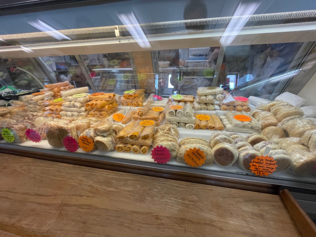
All that goodness, ready to be microwaved 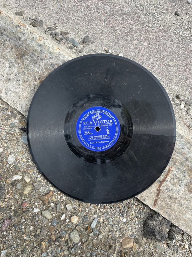
**record scratch** 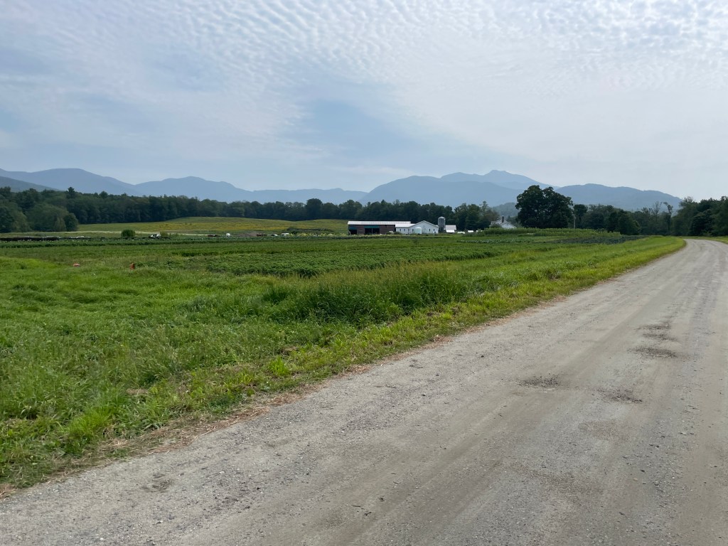
Brewster Uplands 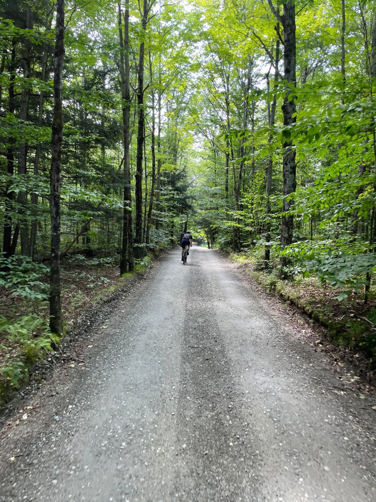
Thompson Road 
The muddy tracks from the Tour de Valley 
Irish Settlement view (of Mansfield of course) 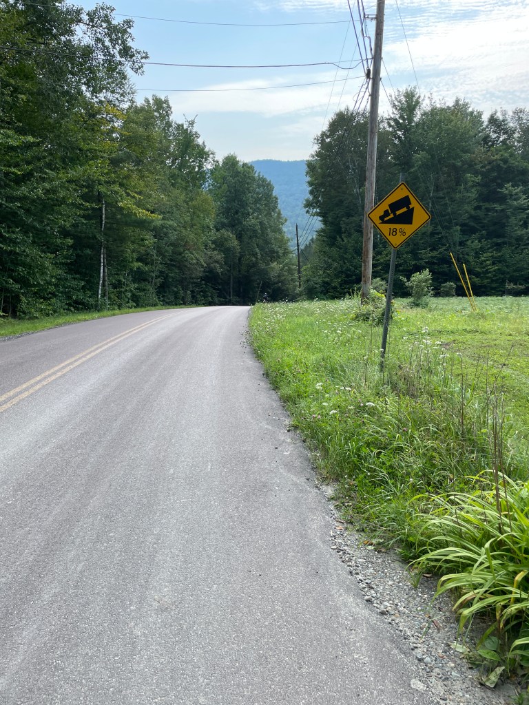
18% DOWN! 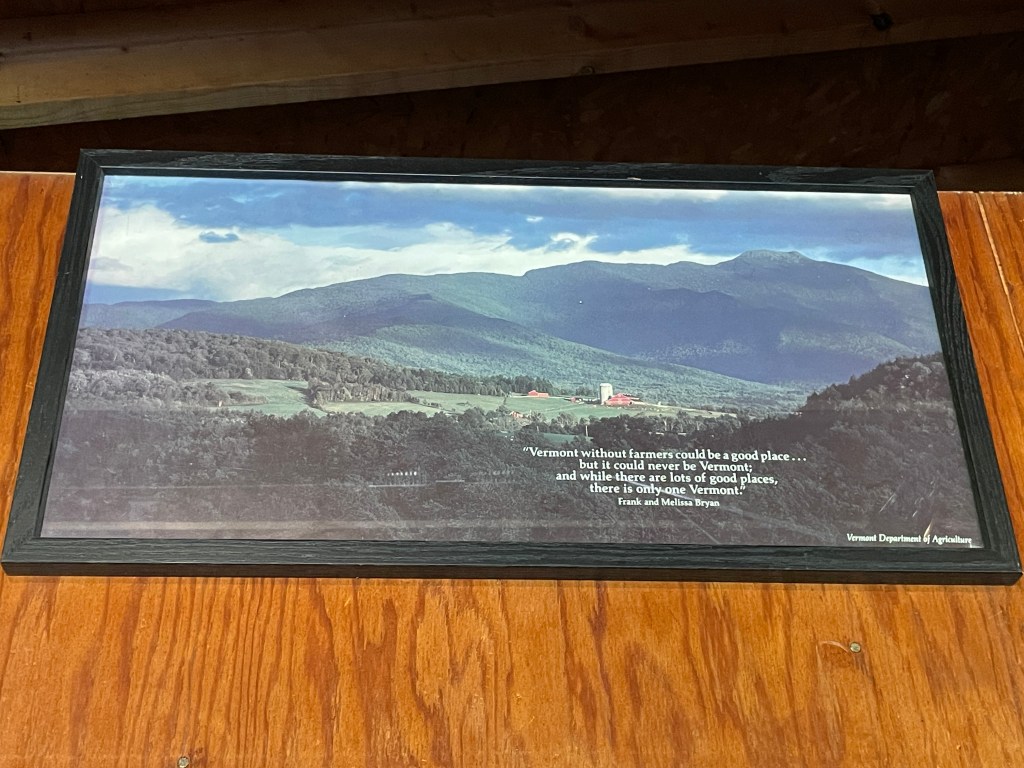
A poster I have in my garage of a farm on Westman Road in Pleasant Valley
The Details:
https://www.strava.com/activities/9687998865
https://fatmap.com/routeid/3434892/dirt-251-underhill-cambridge-fletcher?fmid=cp
