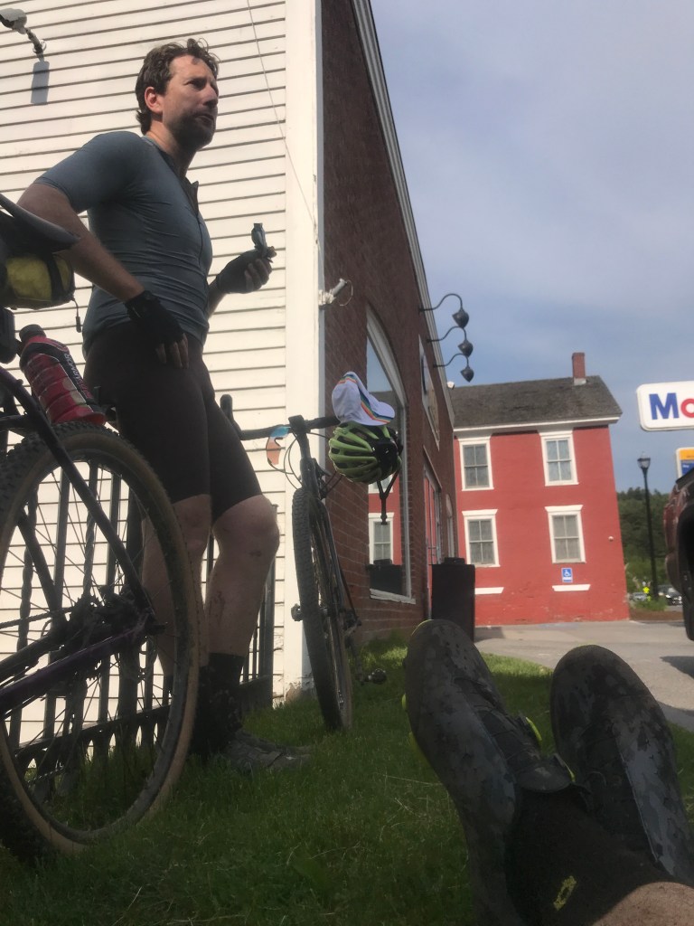
After a few weeks off, I was back at it: looking a bit closer to home for towns number 158-161. Despite the wonderful riding that exists just over Mount Mansfield, I don’t often get over into the Stowe valley, but I’d planned this one to be my attempt at a “Best of” ride (despite my limited knowledge). The tough thing with the valley is its shape: with Route 100 running smack dab up the middle, you want to stick to the sides for the good roads and views, but that’s where the climbing obviously is. I managed to make a route that stayed under the golden ratio, but still looked appetizing. I knew I had a free day after volunteering with the fantastic Solid Sound Festival at Mass MoCA. The festival has been around since 2010 and though I missed the last couple, it’s such a blast. Check out this documentary for a taste of the vibe. Anyway, I managed to wrangle old reliable Brad for this one and we set out at midday on a sunny Memorial Day for Waterbury.
Our start point was Brookside Primary School just east of downtown Waterbury. The town of Waterbury developed like many Vermont communities: sprouting up around the river nearby rich farming the the railroads and mills eventually supporting steady growth. By the late 19th century, the town was home to the Vermont State Hospital, originally Vermont State Hospital for the Insane. It has an ugly history with its (at one time up to 1,728) patients being subjected to barbaric treatment. It was also the epicenter of the eugenics movement in Vermont which has its own dark history. The complex now houses state offices, the status of which looked shaky in the wake of Hurricane Irene, but things have been fixed up and the town overall is doing quite well.
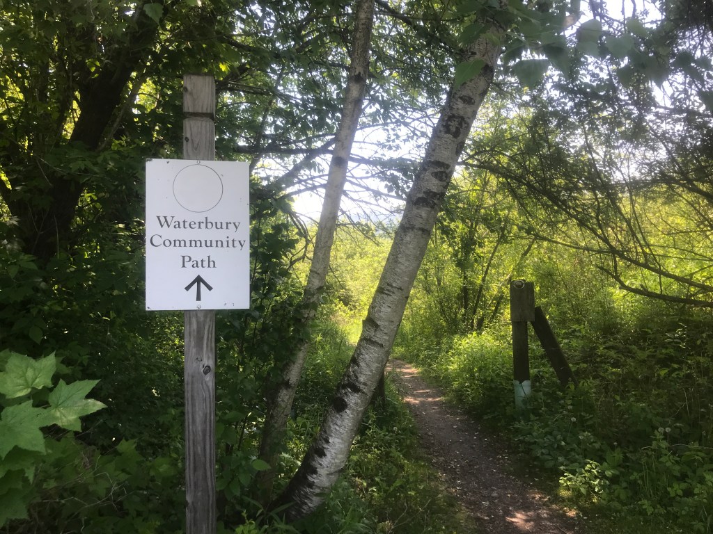
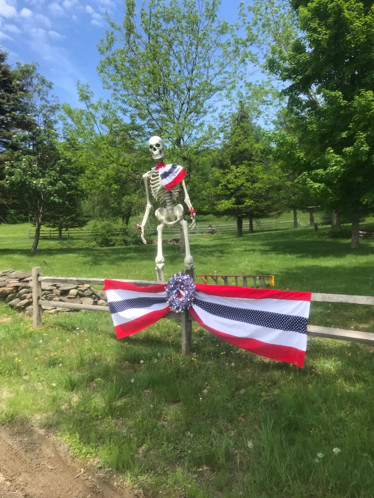
We headed out Stowe Street away from the former Keurig Dr. Pepper (nee Green Mountain Coffee) building that now houses Darn Tough Socks, past the excellent Hen of the Wood restaurant and out to the Waterbury Community Path. This allowed us to stay off of the busy byway that shuttle folks from the interstate up into Stowe (not to mention the Ben and Jerry’s Factory). After popping out past a golf course, we soon took a right onto Kneeland Flats Road which (ironically) began our first of four big climbs of the day. I had routed us onto Shaw Mansion Road (it certainly has some nice houses, but no true “mansions” that I could see). But in doing so I saved a few feet in overall climb, but I missed a huge dip that could have been avoided had we opted for Ripley Road. But that’s just me being self-critical. The road continued to climb and close up and by the time we passed the Mount Hunger trailhead and the gate after it was a beautiful seasonal single-lane road that interestingly has Google Street View. The single lane section ended at Stowe Hollow Road and a strange patriotic skeleton display that was part July 4th and part Halloween, with a little Grateful Dead mixed in for good measure.
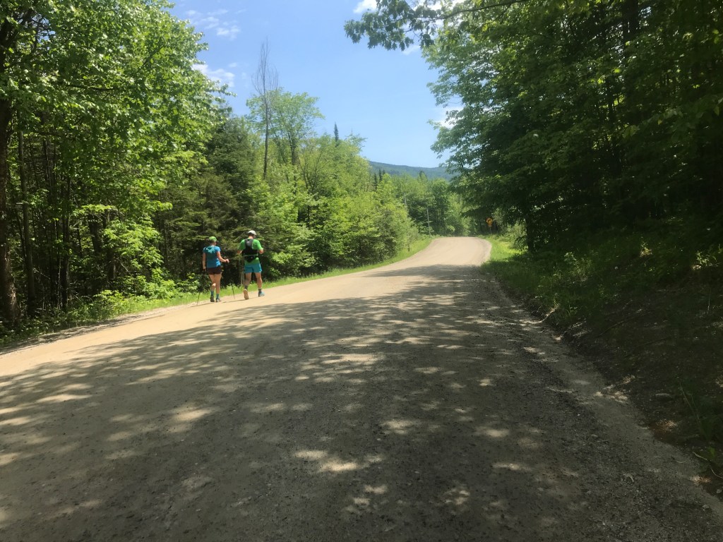
As we crested the hill and reached the end of this first climb, we crossed paths with a couple who were out on a long trail run that included Mount Hunger as well as Stowe Pinnacle (almost 15 miles in total!). We zoomed down the steep pavement of Stowe Hollow, slowing down to gawk at the aptly-named and oft-photographed, Grandview Farm. We continued down over Gold Brook Covered Bridge, making the brief climb past many newly built houses and one gorgeous old brick homestead. At this point, we’d crossed into Stowe and the architecture reflected that change of zip code. Stowe is consistently in the top 5 wealthiest towns in Vermont, with a gross income per tax return in 2017 of $109,302. For a bit of context, there is currently a house right in the area listed for $16 million. Now, don’t get me wrong: Stowe isn’t all 18,000 sq. feet monstrosities and HGTV Dream Homes. There are still a few working dairies in town, but its economy solidly relies on tourist dollars. Tourists we were about to see plenty of as we entered the village for the first of two times through.
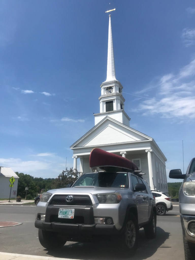
Across from the iconic steeple of the Stowe Community church, lies Black Cap Coffee. Like most cafes in towns with active people, this one is an epicenter of caffeine and snacks before, during and after outdoor fun. On this day, it was mainly tourists, but we refilled water bottles and took a quick rest, knowing our main rest stop would be in Morrisville. The rest of Main Street consists of normal places like restaurants and touristy shops, plus more unusual places that are fitting for Stowe, like the The Vermont Ski and Snowboard Museum and Grand Slam Tennis Tours. After our brief break, we headed north on Route 100, liking the flatness of the road, but very much not enjoying the traffic. But after a few miles we turned onto Elmore Mountain Road which would carry us up into town three of the day and to one of the best views of the whole Dirt 251 project so far.
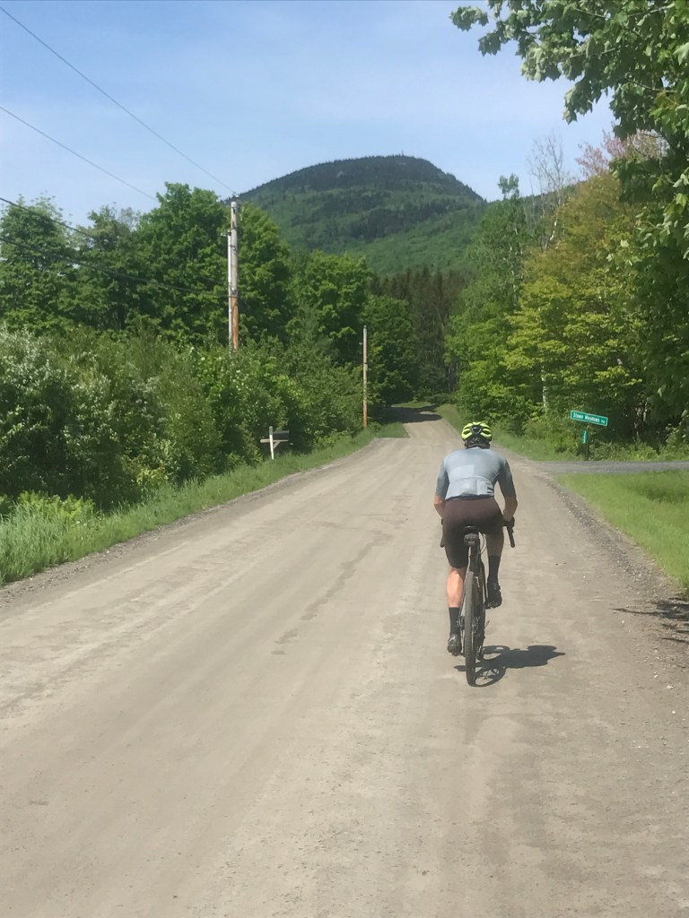
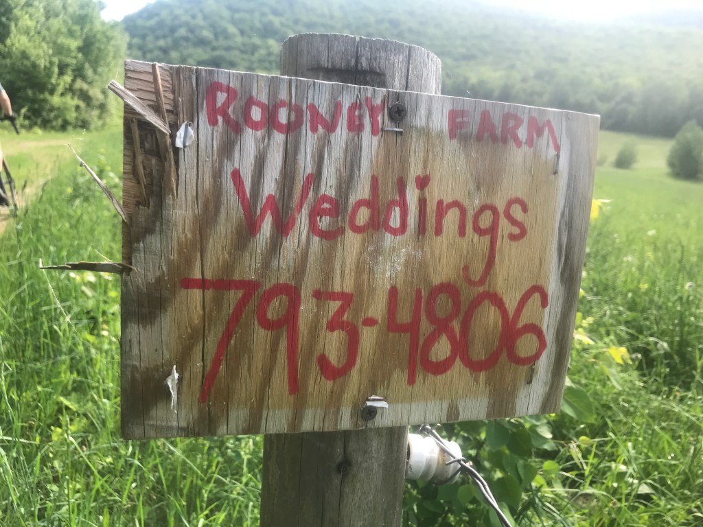
Elmore is a town that is mainly on the opposite side of the ridge from where we were. But unlike Baltimore on Ride 13, they didn’t choose to break away and create a separate town. I suppose it helps that there wasn’t much to break away from. Until the past few census counts, its population has hovered in the low to mid hundreds. And even today, it hasn’t broken 1000. It’s best known for its State Park and accompanying lake and mountain. The park is home to great swimming and a fine-looking old CCC-built beach house. The climb up was pleasantly mellow and once we got sight of the Elmore fire tower, the views to the west really began to open up. If I hadn’t just read that they needed to sell their dairy cows a couple of years ago, I’d have said that the owners of Keith Family Farm were some of the luckiest folks around to have views like this right out their windows. They’re now raising Hereford and Angus beef cattle, but they’ve hung onto the fun “Get Milk” sign on their purple barn.
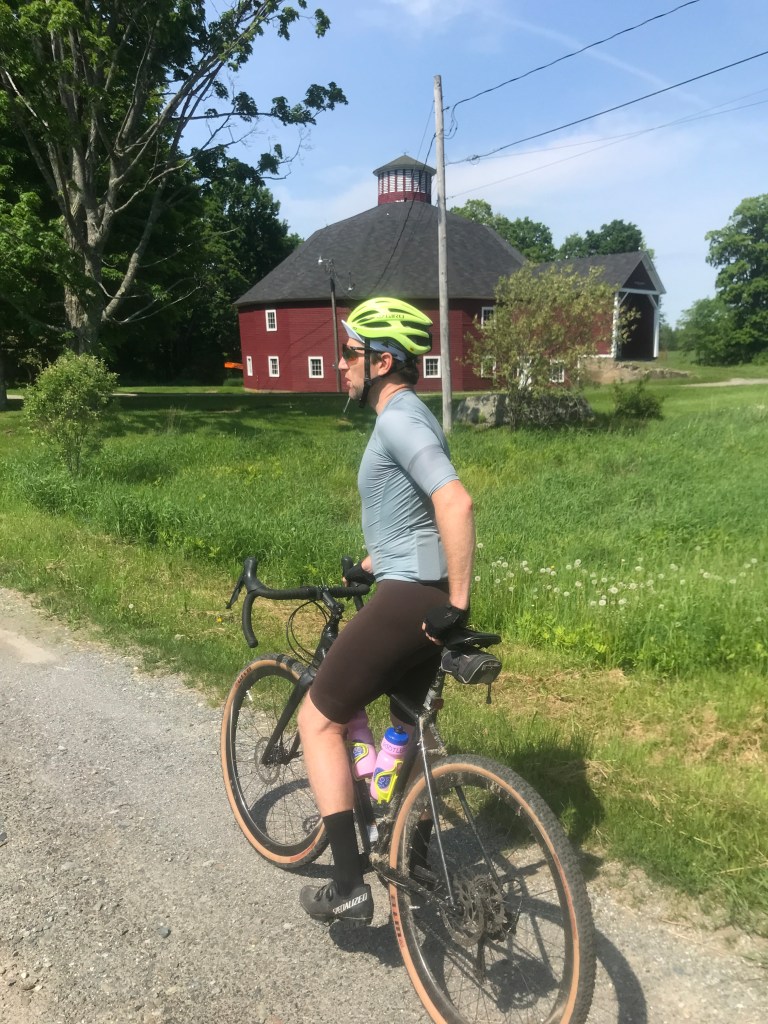
We continued down to Route 12 and I’d planned to take a somewhat unknown Class IV road down to Darling Road and then the Lamoille Valley Rail Trail. It seemed like a bit of a long shot, and I should have done some more research. We ended up turning off the road early and onto someone’s driveway. He happened to be right in his yard and when we asked “Does this connect through” a curt “Nope” was all we got. We’d kind of missed our shot to try the actual road since it goes right behind his place, so we turned around and took the main road down into Morrisville. We did get to see a beautiful round barn at least.


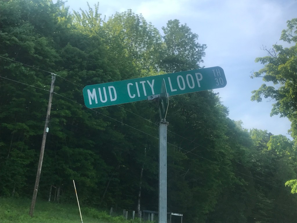
Down Route 12 we zoomed, taking aim at the center of the village and the Morrisville Co-Op. The village of Morrisville lies within the town of Morristown (pretty easy to remember) and it’s a nice little place. It still has some of the swanky sheen of Stowe, but is certainly more working class. It sometimes goes by the nickname “Mo-Vegas” and towns that get a version of that nickname aren’t exactly known for their culture, but it’s certainly shedding its rougher image. Anyway, we eventually made our way to the Co-Op and bought some sandwiches, chips and drinks. The temperature was peaking, hitting the low 80s and we were dreading the, energy droops we’d have to sweat through after this break. We put it off for long enough, then headed west out of town. Right before we reconnected with Route 100, we passed one of the best businesses I’ve ever seen: Universal Empowerment: Certified Angel Guide and Transformation Coach. After looking into it more, I’m still really not sure what they do. Their Facebook page didn’t help much, but it seems to be some sort of life coaching that may involve a lot of crystals. We continued on, moving towards Mud City Loop. The area is decidedly not urban: it’s sprinkled with modest houses and farms and the name dates to the 19th Century:
And on to Mud City –surely Vermont’s great understatement of a metropolis! The name goes back to 1898 when Joseph M. Chaplin, a farmer in the remote west Morristown area, began identifying himself in fun as the “mayor of Mud City”. Chaplin took the name from Mud Brook, which runs through the area. For the next year or so the News & Citizen carried occasional items about the doings up in Mud City –including word of the defeat by Chaplin’s “constituents” of his proposal to change its name to Maple Hill? That wasn’t very much time but it was enough to forever implant the colorful name on the Morristown scene. Among other things, of course, the road serving that area is called Mud City Loop
-“Morristown Two Times”
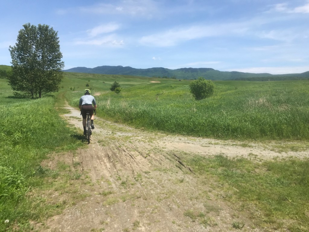
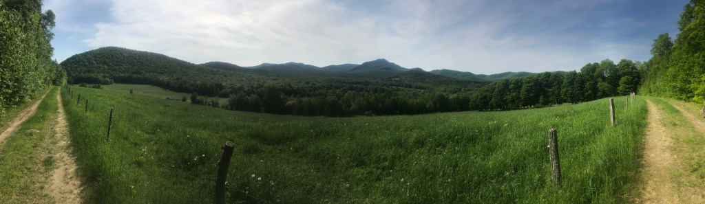
My friend Pat used to live out in this area and I hadn’t been in many years. It’s certainly not a place you just happen to make your way through. The views were lovely, but were soon going to get even better. When planning the route, I’d seen an area that it appeared some other bikers had been through, but it wasn’t a sure bet. However, wanting to avoid heading back down in elevation and always up for an adventure, we decided to try out Bull Moose Road. And boy are we glad we did. After a brief climb right past a house, the Class IV road enters an isolated hayfield. The field narrowed as we moved south and the valley slowly closed and became a small notch. The old road appeared to move into the field, and a single track trail routed over some muddy spots, but within a few hundred yards, we were back on almost immaculate double track. This was an ideal stretch of back, back road. And once we began to descend, we passed an old sugar shack and were really in heaven. It was the surprise find of the trip and we’re definitely headed back. We soon crossed back into Stowe, making one last quick climb before a long very fast bomb down some paved roads. We met up with the Stowe Rec Path just before Route 108 (AKA the Notch Road, AKA the Mountain Road, AKA the NO DANG TRUCKS OR BUSES ALLOWED Road). We tried to temper our speed on the shared use path and popped back into Stowe Village, making a pit stop to buy our new favorite rehydration drink: Body Armor. We had a major last push and needed all the help we could get.

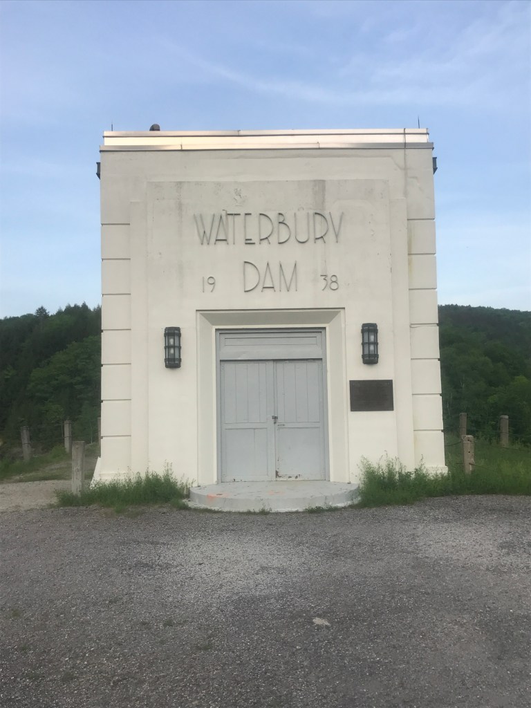
We moved south taking River Road to the village of Moscow. The southernmost of the settlements of Stowe, this hamlet was apparently given its name because someone thought the ringing of a bell at a schoolhouse opening sounded like the “bells of Moscow” (though that sounds apocryphal if you ask me). The area sprang up around carding and saw mills in the damned Little River. The whole area is a historic district, though there was some controversy about that decision before it was finalized. We followed the Little River and soon entered the Mount Mansfield State Forest. This particular Cotton Brook block of the forest rises above the Waterbury Reservoir. The flooded area and the hills above it used to be an active community: home to several businesses, five schools and as many as 50 families. But after floods in 1927 and 1934, the state began to buy out land and the large earthen dam was built using Civilian Conservation Corps workers. There was a large camp based in the area, some of whom even lived in the homes of former residents. In addition to the sad story of the former settlement being flooded and reverted to forest, there are also grizzly tales of murders in the area and people swear they’ve had supernatural experiences. On the day of the ride however, I was mainly thinking about the climb up Cotton Brook Trail we had ahead of us and not about the deep history of the area.
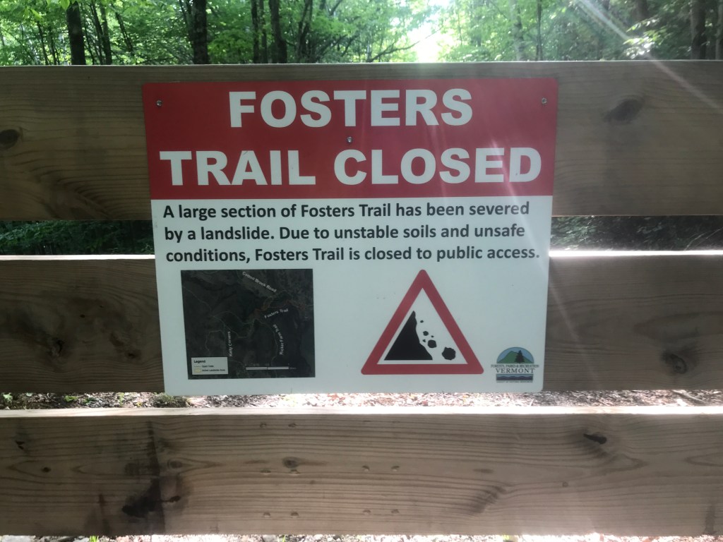
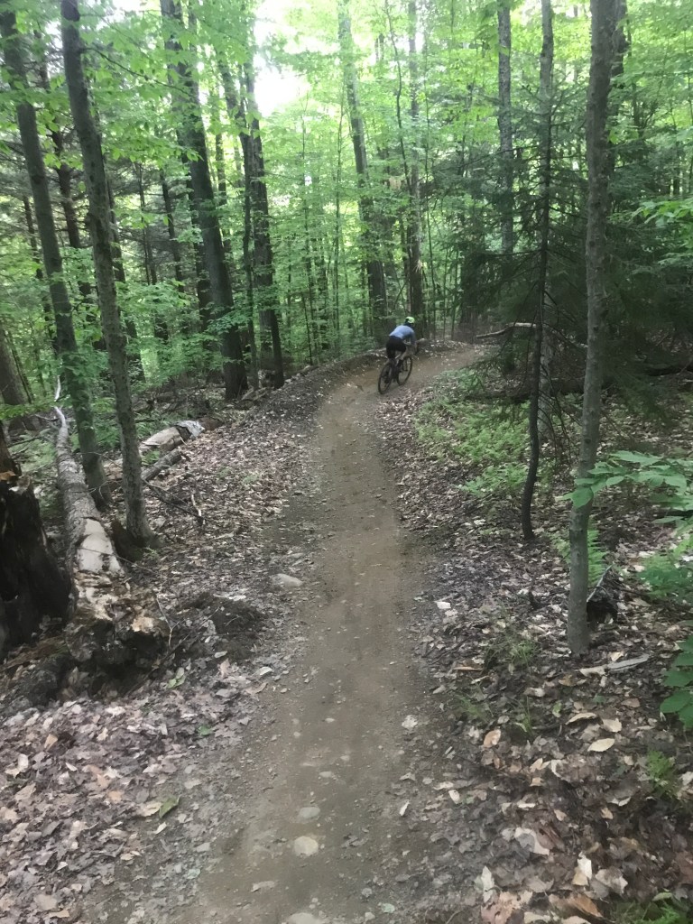
As we worked our way up, we soon came to the scene of a massive, 12 acre landslide that occurred in 2019. It dramatically reshaped the landscape and completely obliterated the Foster Trail, a hiking connection that cuts across the hairpin shape of Cotton Brook. We continued on as the sun took on a rich golden color. The surface of the path had recently been smoothed and it was good riding. We eventually topped out at the turn of the hairpin and made our way down and over to Little River State Park. The historic trails we were on eventually connected with a modern mountain biking network and (only slightly sandbagging Brad) we began picking our way down them. He’d never been on machine-built trails with proper berms and all the accouterments that that they come with. He was doing great and at one point I heard a biker behind us, so we pulled over. The guy did an extra whip as he hit jump next to us and his riding partner wasn’t far behind. Brad wondered aloud what they must have thought of these random dudes in spandex with drop bike bars, but he must not have lingered on that thought because he led the next section! In fact as we continued down, we ended up passing the duo who’d passed us as they were taking a break and they gave us a few big, appreciative hoots, which was nice to hear. We eventually made our way into the camping part of the park and worked our way out to the dam itself. We, of course, had to ride out onto the dam, catching the last rays of light before they disappeared behind Ricker Mountain. We continued down to Route 2, and eventually back to Waterbury village. We’d made it, right before sunset and were glad to be heading home to dinner.


The Details:
https://www.strava.com/activities/7229386073
https://ayvri.com/scene/gdkz16el5z/cl3th6qex00013f6q7vuc2hjt
