The days are really getting shorter as of late and with sunset creeping up closer to 5:30 and the weekend forecast filled with rain, I decided to sneak in a 251 ride. Because I still had to work a full Friday, this one would need to be short. My shortest in fact: only 26 miles, but it’s way over the gravel ratio at more than 3,800 feet of climbing. Maddie also just got her booster shot the day before and it wiped her out for the second half of the day, so she came home to rest and I got the car. I quickly whipped up all of my gear and headed south for Starksboro.
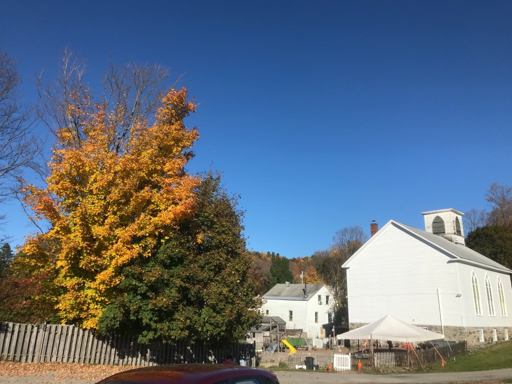
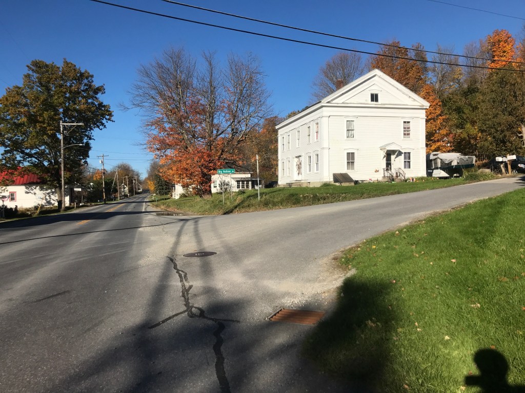
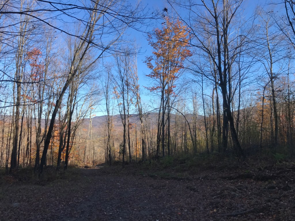
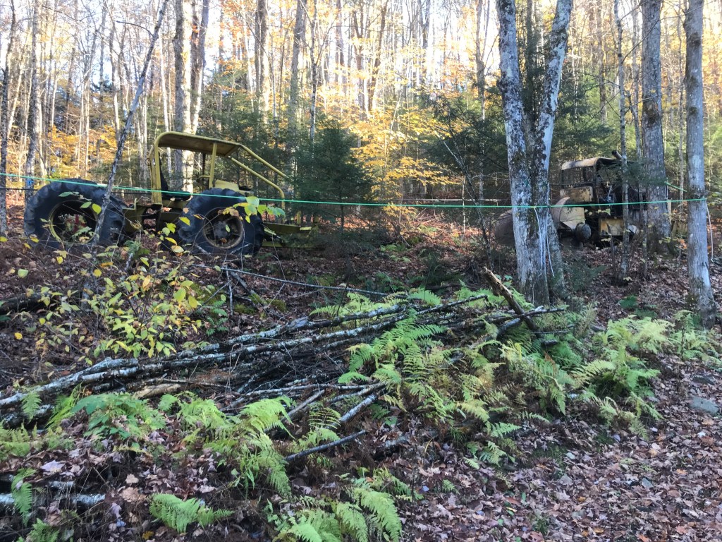
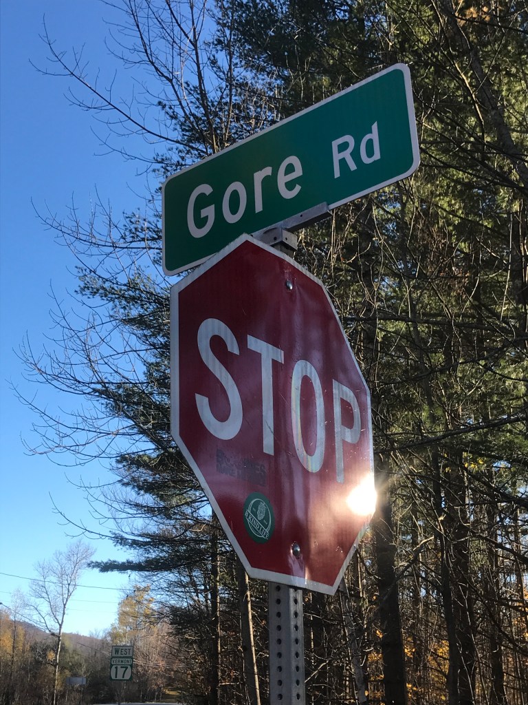
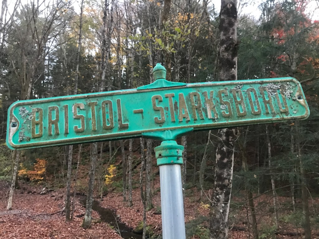
The town of Starksboro lies south of Hinesburg (from Ride 23) and is in the northeast corner of Addison County. It’s a somewhat sleepy town of about 1,700. It has a high number of farms, a world renowned rocking chair maker and one of its most famous residents was a stonemason. The aptronymously named David “Stoney” Mason lived in Starksboro for his whole life: 1931 to 2020. He specialized in dry laid stone walls, where no mortar is used and was an unofficial mayor to the town. I started my ride behind the town offices where there was (appropriately enough) a dry laid stone wall being built. I left my car in the “park and ride” zone and quickly headed out to begin the ride, knowing I’d be fighting the darkness on the back end. Right after I completed the first steep pitch of Big Hollow Road, I realized I had left my rear light in the car. So I zipped back and got to ride the hill again. Big Hollow Road is a back way north into Huntington. It slowly rises out of Starksboro village passing through a cleft in the rising hills that lead up toward the main spine of the Green Mountains and Camel’s Hump. I, however, was going to take an even more back way to go as directly as possible into Buels Gore. This meant I needed to take Brown Hill Road which climbs steeply up from Big Hollow. It’s maintained to various degrees throughout its length, but it’s certainly class 4 in the middle. The dead giveaway being that there’s a Brown Hill Road “West” and “East”, meaning you’re on your own in the middle. I had ridden much of this climb in May of last year, but turned off early only to be thwarted by a private road. There are a few houses, some rough camps and a maple sugaring operation. After a while, the climb mellows out and begins to traverse north along the ridge. The road got rougher here, but it was certainly passable. I wasn’t expecting to see much, but suddenly came across a pretty well built house by a large clearing with an SUV in front with Connecticut plates. I figured I’d made it over to “East” Brown Hill Road, but a few tenths of a mile later, I came upon a logging landing and some paths no SUV could handle, so they must come up from the Starksboro side. I paused at the landing and prepared to descend, knowing my forearms were about to get a workout, even as my legs got a break.


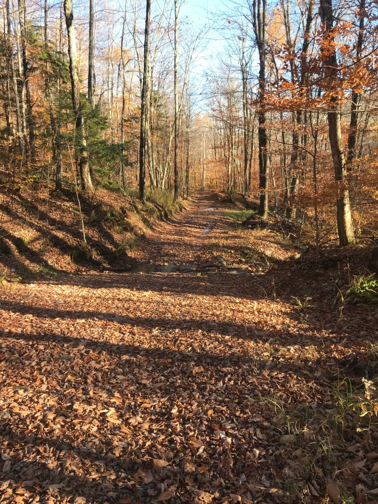
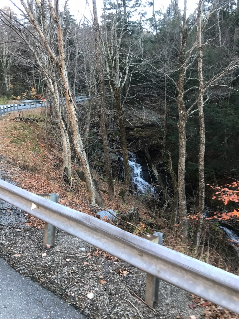
Sitting on the landing I was still in Starksboro, but had solidly crossed over into a new valley. The Huntington River watershed lay below me as did the tiny hamlet of Hanksville. Before getting down there, I had to navigate the somewhat technical and quite steep descent. Note: you’d have to really convince me to ride this section in the other direction. I popped out by some horses and a stunning small hill farm. It didn’t seem to be doing much more than supporting the handful of horses, but it is quite remote. I continued down a very steep slope through a small homestead( and sugaring operation?) to the bottom of Rounds Road. Maddie and I actually looked at buying a house on Rounds Road. It looked gorgeous in the listing, but we probably would have needed a snowmachine to access it in the winter. So we passed (after dragging our amazingly patient realtor Julie out there, where she suggested we do a drive-by of a house before calling her in). Anyway, I continued down until I hit Main Road and Hanksville. The area used to have a strong agricultural presence, but things have grown up since then. Maple Wind Farm (where Maddie worked for 4 years) used to be based just above Hanksville, but the owners sold their home as part of their plan to simplify their operation and it’s now not an active farm, as far as I know. I turned onto Main Road and headed south. It wasn’t long before I got views up to the ridge and Appalachian Gap, the terminus of my climb. Along the way, I saw a few signs proclaiming “Local Schools Thriving Towns”. It’s all part of the movement to keep small, rural schools open. The debate has led one town to vote to pull out of the school district altogether. These smaller towns certainly don’t have a whole surplus of community spaces and schools can really serve that role.
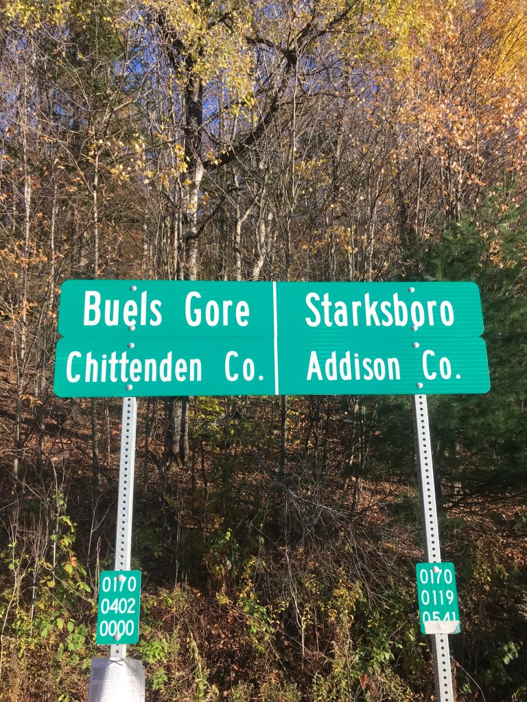
I eventually reached Route 17 and soon after was into Buels Gore. I thought it would be appropriate to go to my first gore of the project on Halloween weekend. However, these gores don’t have anything to do with blood and guts. The term actually came from the Old English word “gār” which meant spear. And this makes sense since gores are three-sided sections of land “left over when surveyors plotted boundary lines between neighboring towns but couldn’t quite make them meet.” According to this article, this particular gore got its name for Maj. Elias Buel who petitioned the legislature to grant him land for a town. But there wasn’t a parcel large enough, so he took it in three parcels: Coventry (a still existing town in the Northeast Kingdom), Coventry Leg (now absorbed into Newport) and Buels Gore. He originally wanted to name it Montzoar and eventually was granted the land, but the legislature backdated the transfer and he owed 8 years of taxes, which he could not afford. So a formal town was never incorporated and the residents there have existed in the unusual situation of having an administrator appointed by the governor as their town government embodied in a single person. The gore currently has 29 residents. This is down from 30 in 2010, but up from the 12 in 2000. It’s way below the highest population the gore had ever seen when it was home to 35,000 sheep, according to Esther Swift in her “Vermont Place-Names.” Living in the gore has its challenges: loud motorcycles in the summer, bad roads in the winter, but people tend to enjoy its solitude.


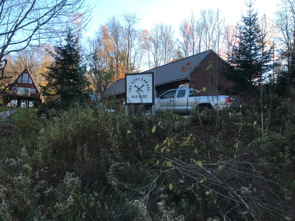
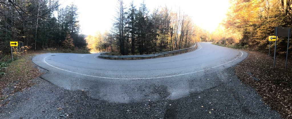
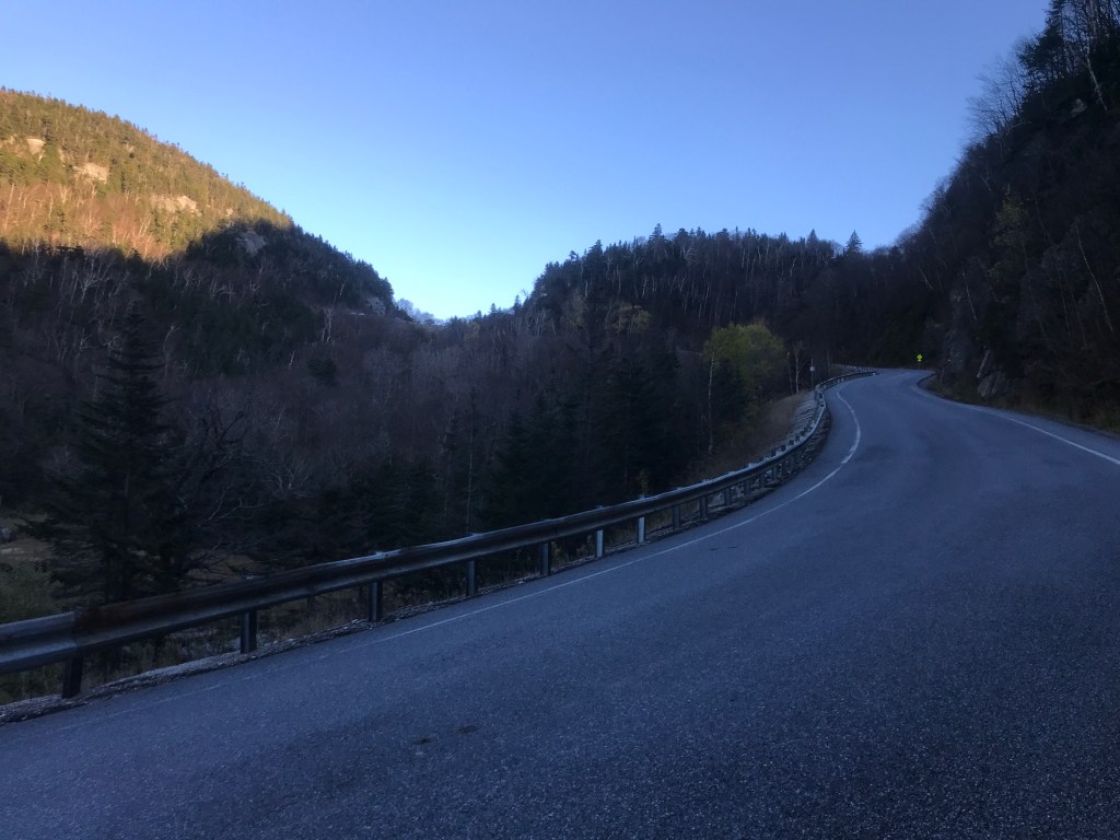
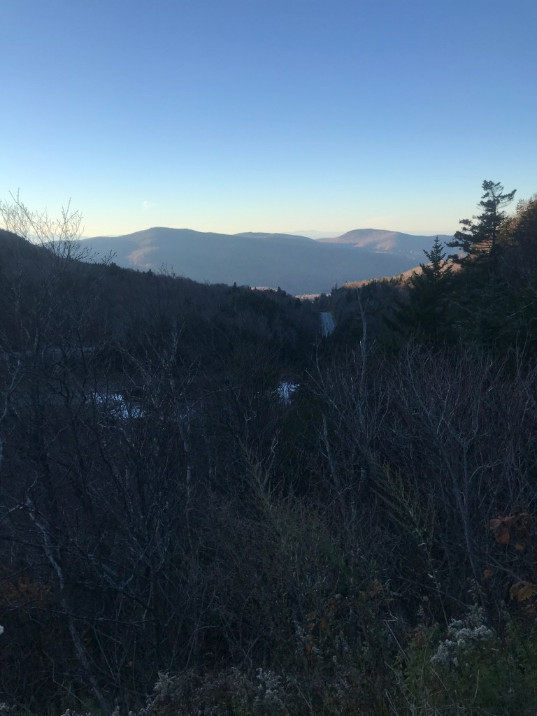
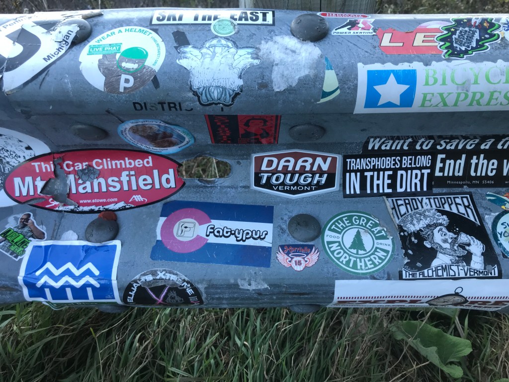
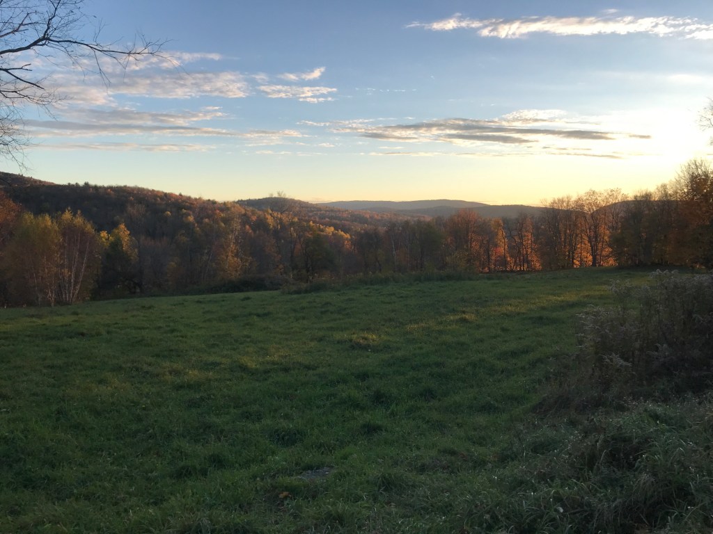
I began the long climb up to the top of the gap trying to balance the need to keep up with the sun, while also wanting to enjoy it slowly. It was actually my first time climbing App Gap and I knew I wouldn’t do it in anywhere close to the 11:36 that the “King of the Mountain” got. So I dropped into my lowest gear and began chugging. You quickly come to the only road-fronted business in the gore: a mechanic. “The Gore Garage” is a tiny one-person operation, and has good reviews. I continued climbing, sweeping back and forth around some real hairpin turns. The grade averages around 8%, but it has some sections that are relatively tame, but other punishing sections that briefly push over 20%. As I got higher, I kept my eyes peeled for moose and bear, as this used to be part of Maddie’s commute when she was working in the Mad River Valley and she saw both on her drives. Alas, I did not see any, but the bits of foliage that were still hanging on and the occasional waterfall were pleasant viewing. It was also fun to follow along on my progress thanks to the painted pavement that marked out the remaining kilometers and meters left to the top since this climb is the end of a section in the Green Mountain Stage Race. I continued pushing as the grade really picked up right next to the high, nameless pond just below the gap. I finally crested the top and took a brief respite looking out over the sticker-strewn guardrail through the golden glow and all the way out to the Adirondacks. I didn’t dawdle long though, as I still had to descend and the sun was really moving now. I did make a few stops doing down though, just like I had for the climb. I paused at one point to ride a short stretch of “Old Country Road” to ensure I’d been on some dirt in Buels Gore. I also stopped to admire one of the few houses you can see from the road. It’s a new build and more reminiscent of what you would find on the other side of the gap: the quirky and expensive homes of Fayston, Waitsfield and Warren. This side is in no immediate danger of getting as developed as parts of the Mad River Valley, since much of it falls within the Camels Hump State Forest, but I’m sure that development pressure exists. I continued down and back to the end of Main Road, where I began to climb up again, taking on the back side of what’s known locally as the “Baby Gap”. Not THAT Baby Gap, but the little sibling of App Gap.

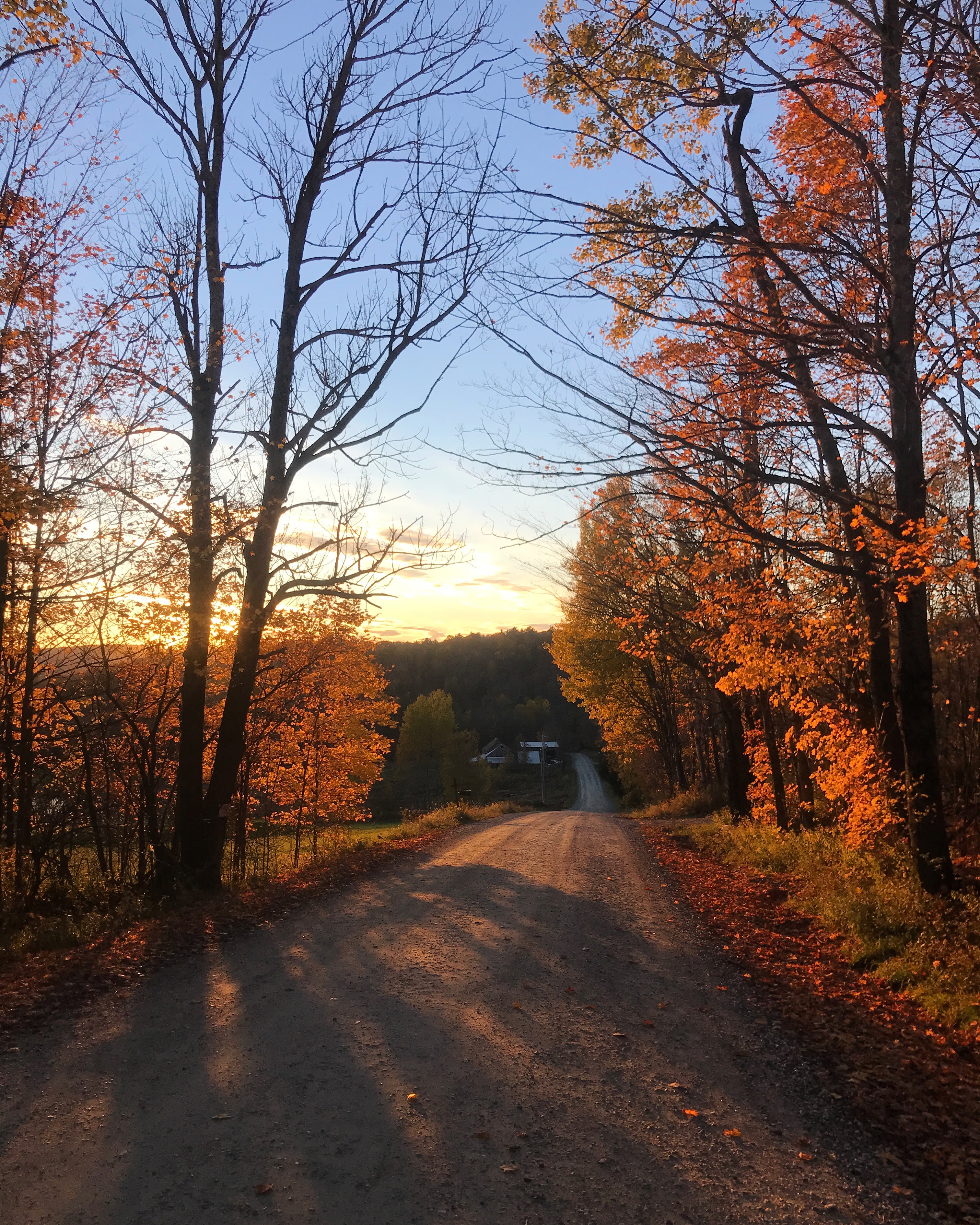
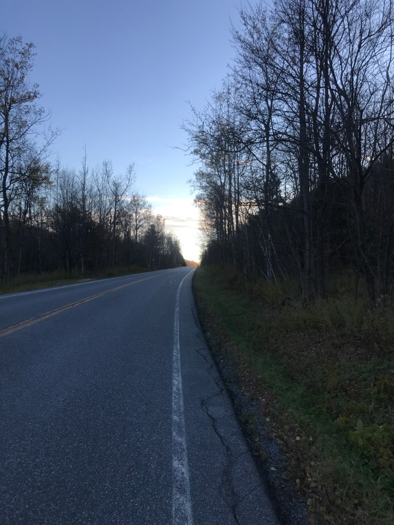
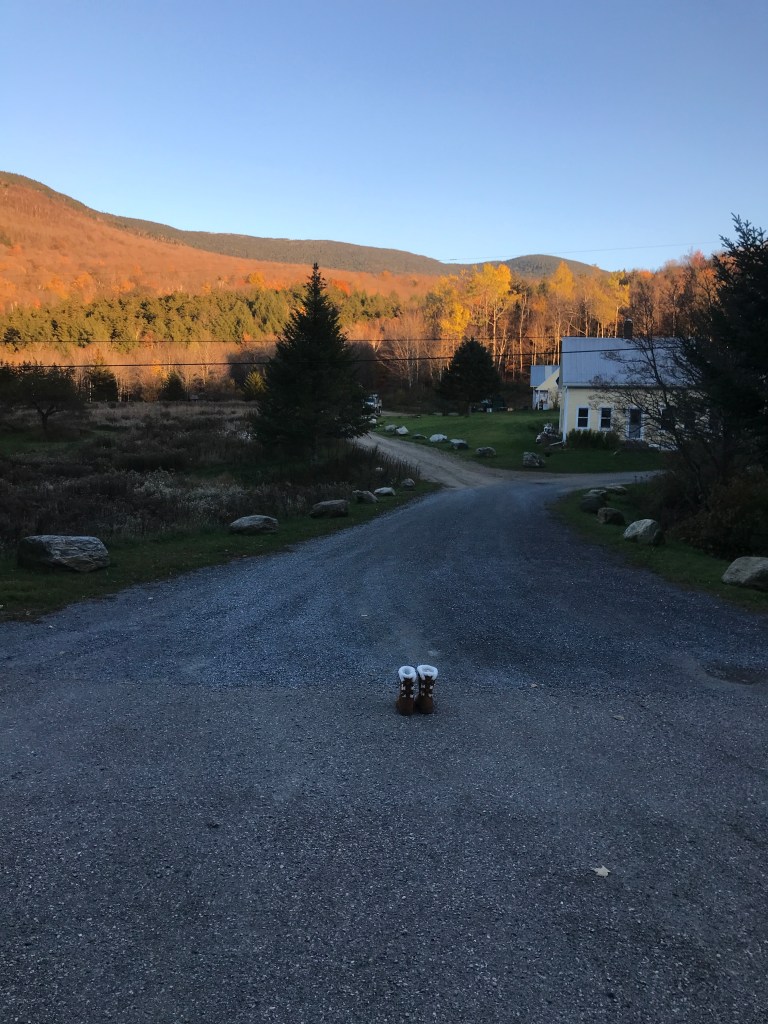
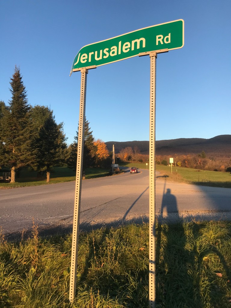
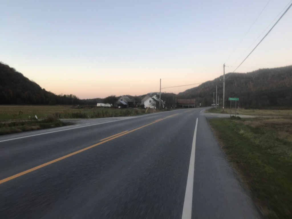
From this point in the ride, I was going to trend down and despite the fact that I kept thinking I’d seen the last of the sun, I repeatedly turned a corner or topped a rise and saw it again. Right before I finished the small climb, I saw a pair of Ugg-type boots sitting at the top of a driveway. Maybe they were being given away, but they were right in the middle of the driveway. Strange. And no, they weren’t my size. From the top of the Baby Gap, I made a brief detour through Jerusalem. The tiny settlement is part of Starksboro, and I couldn’t find any definitive information on where the name came from. A cursory look at the graves in the cemetery doesn’t reveal any jewish names or burials, so I don’t think it’s directly religious. There is a small store and a lovely old schoolhouse that was converted into a community center a few years ago. They had a Little Free Pantry that was just installed as well. I love those things. I took the short dirt road around and back to Route 17, then turned right onto Lafayette Road to connect up to Robert Young road. I need to be sure to tell my friend Bobby Young about that road…Anyway, the sun was truly setting and that’s when I snapped the photo at the top of this post. I’m pretty proud of that one! It was around this point that I crossed into Bristol. I feel a bit bad giving Bristol short shrift, but there honestly aren’t too many good dirt roads to ride in the town. There’s Hardscrabble Road (great name) and also Notch Road that gets you up into the Green Mountain National Forest and the lovely roads of Lincoln and Ripton (Ride 12), but it was hard to loop into a ride. I eventually got back into Starksboro and I had an anticlimactic ride along Route 116 to get back to the village. Before getting there though, I had another memory of years ago with Maddie: we passed the Common Ground Center. It’s a camp, retreat center and sometimes wedding venue. We stopped by to check it out during a bitterly cold winter day on which there also wasn’t any power. Though we didn’t get married there, it’s a beautiful place and they do some great work. I pushed through the impending darkness, happy to have my rear light and my bright front light (the same one I ski with). After a two and a half hours I was done. I hope to squeeze in at least one more, but we shall see. I may not continue with 251 rides until 2022. I’m close to ⅔ of the way done and it would be great to get things wrapped up next year. We shall see!


The Details:
https://www.strava.com/activities/6184597478/
https://ayvri.com/scene/gdkz16el5z/ckvczizd900013e6km0twnwwz

Your posts are so entertaining and so impressive, Sam! The top photo IS a beauty! Shoot…Those UGHs may have been my size. XO
LikeLike