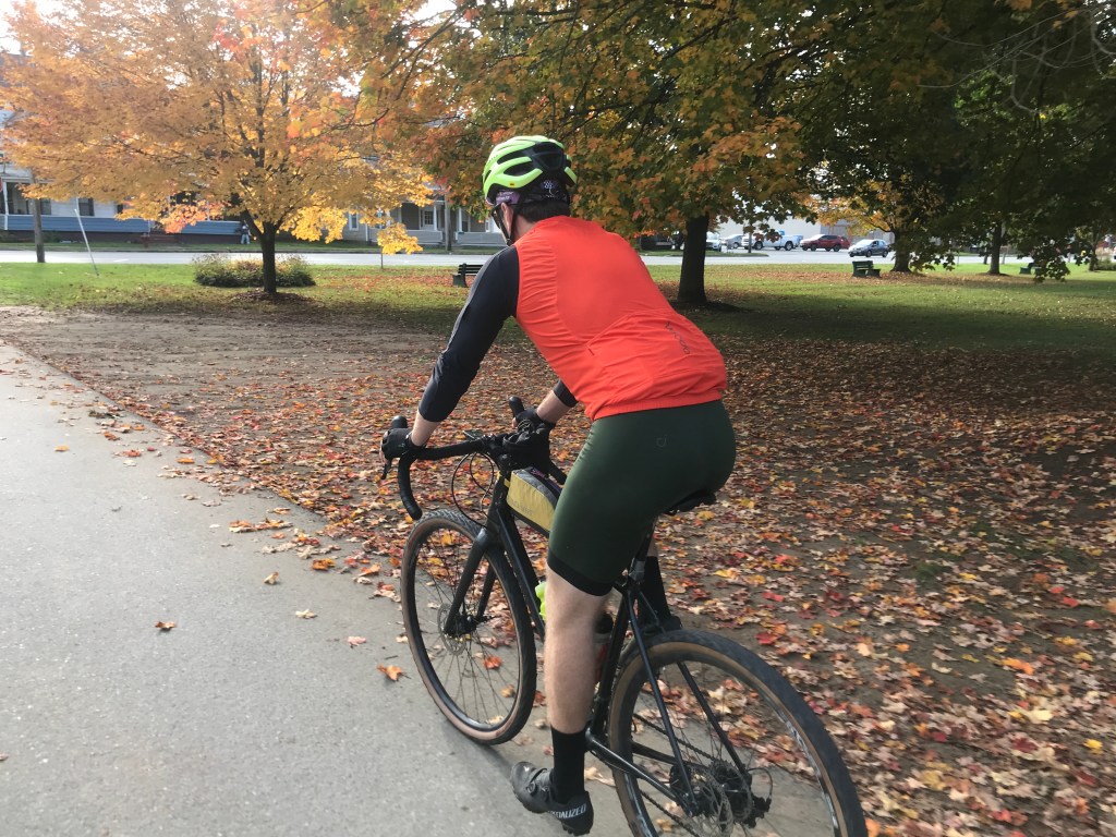
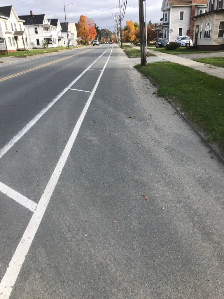
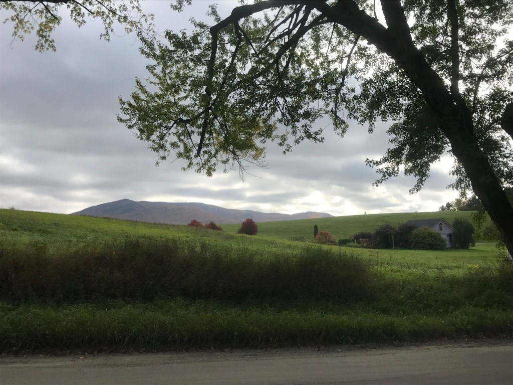
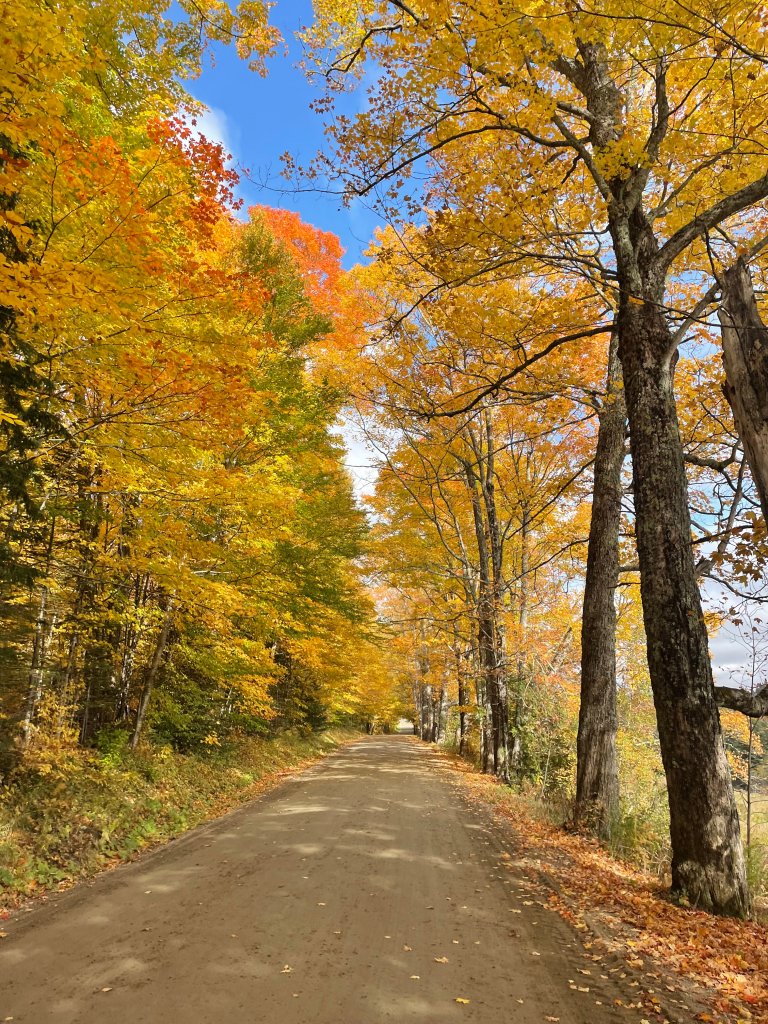
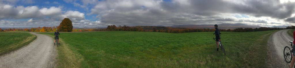
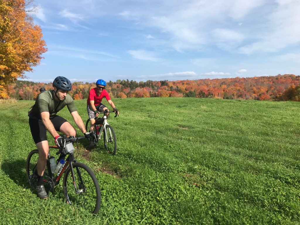
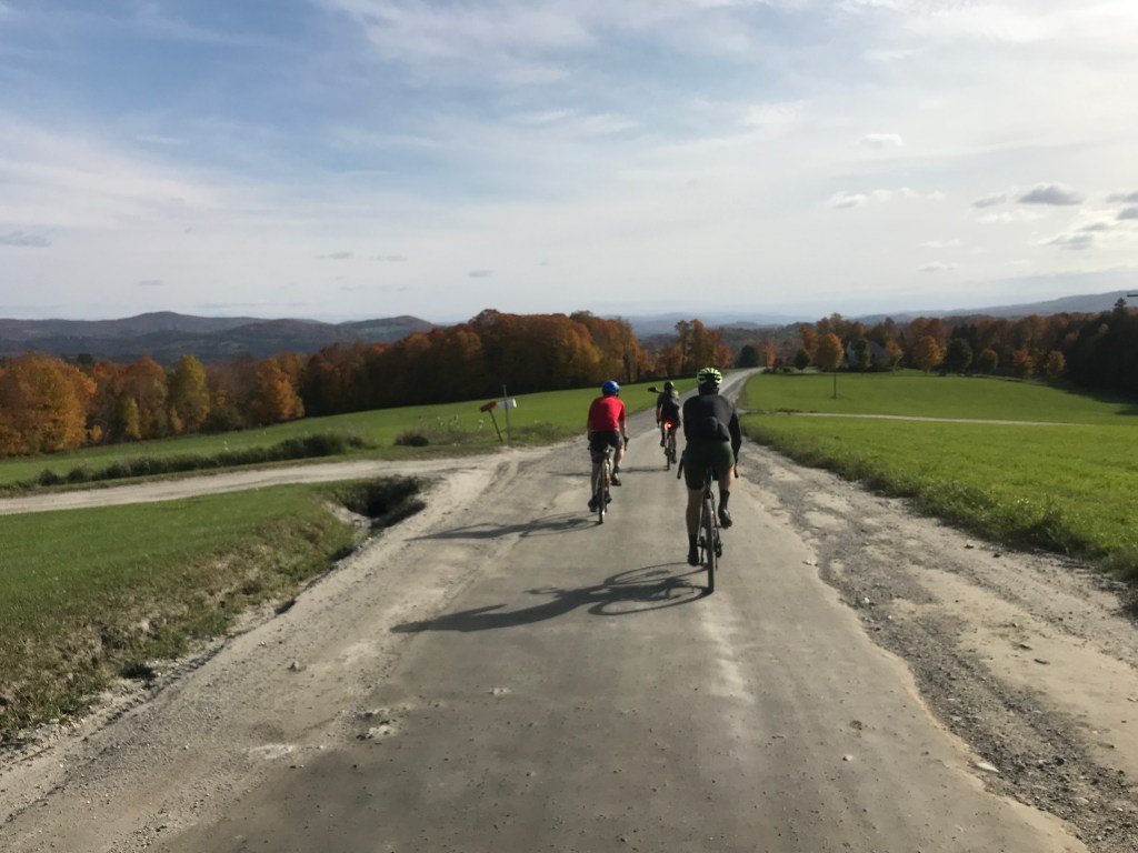
Having just snuck in Ride 24 and its three towns, I was excited for the longer route of this ride. I’d done a few rides in what is widely considered the Northeast Kingdom. It’s occasionally considered to be smaller than Essex, Orleans and Caledonia, but even the most curmudgeonly geographical pedant couldn’t argue that Newark isn’t in the NEK. I headed towards Lyondoville (the downtown village of Lyndon) to meet up with Jared, Brad and Cameron. Brad had actually ridden out there from his house the day before, camped and met us that morning. We rallied at the Kingdom East School District offices, collected ourselves and rolled north through town. After skirting around Bandstand Park, we took a left onto Main Street. It has a fantastic bike lane thanks in part to my good friend Nick Meltzer who used to work for VTrans. We passed the Sanborn Covered bridge which recently averted a collapse and has some fans, but could certainly stand to get a little more TLC. We turned onto VT 114 then quickly onto Darling Hill Road. Darling Hill climbs up and into the heart of the Kingdom Trails Network giving (in my humble opinion) some of the most beautiful views in the state. It was strange being in this neck of the woods on my gravel bike. I admittedly haven’t been riding my poor mountain bike as much over the past years, but I’d never been in this area on a two-wheeled machine with drop bars before. A couple of years ago the closure of a huge chunk of the KT network to bikers sent shockwaves through the community. But the expansion into Moose Haven has helped ease the pain of the loss. We took a quick pitstop as the main hilltop parking lot began to fill up. Even with the border closed, it was looking to be one of the biggest days of the year. We continued to pump up the steady grade as the road became Burke Green. The views also continued as we saw fewer and fewer mountain bikers and felt a little more comfortable riding two abreast. We got to a particularly amazing point where the views to the east and west were both available to us at the same time. It was stunning.
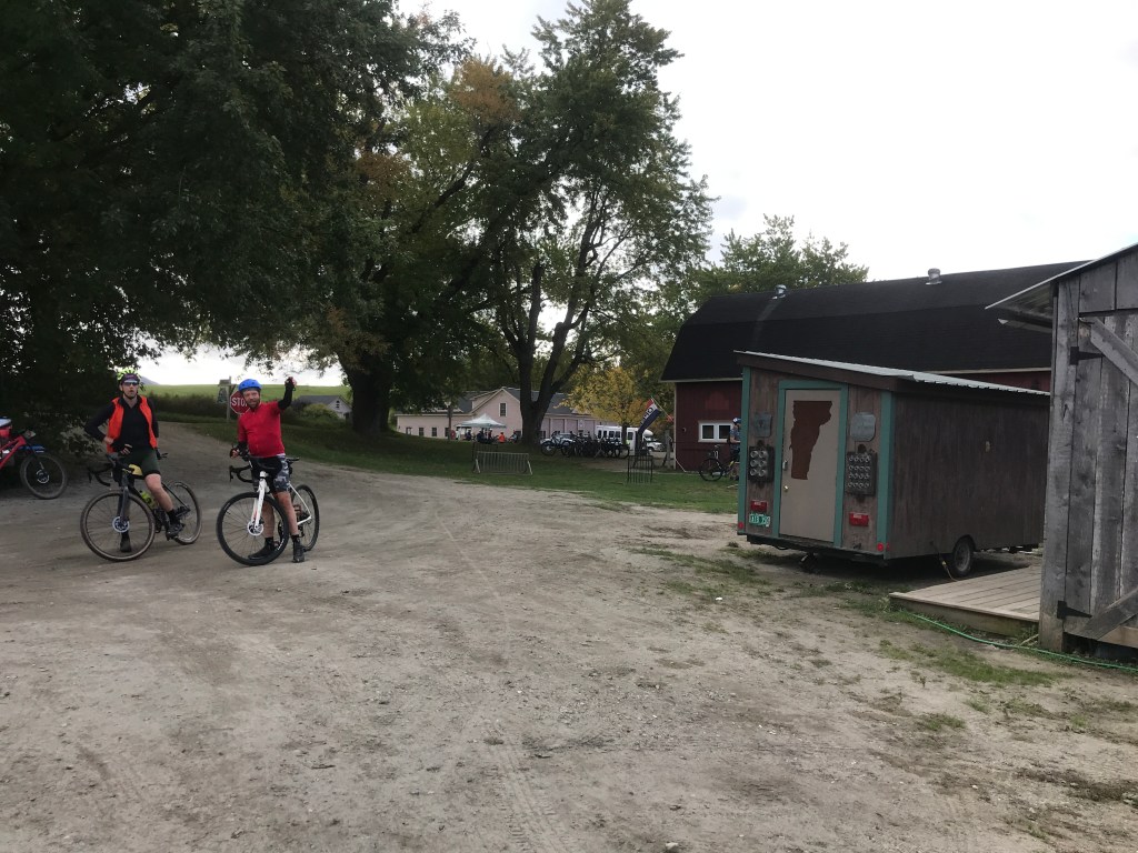
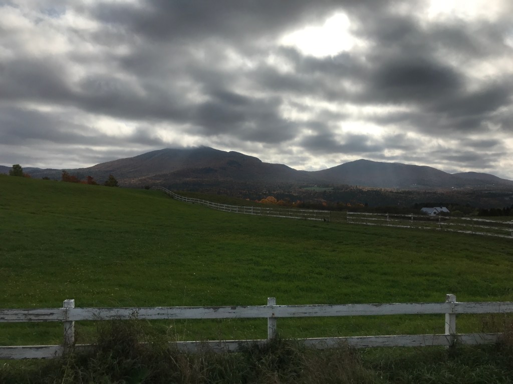
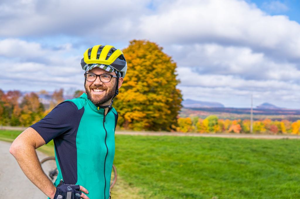
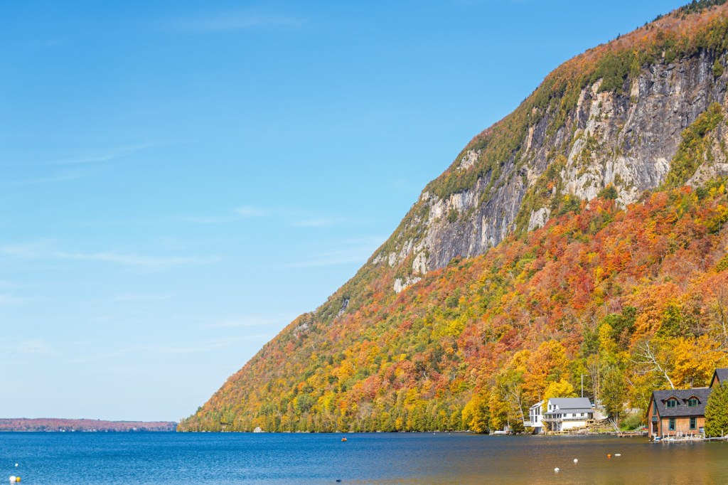
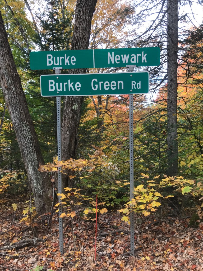
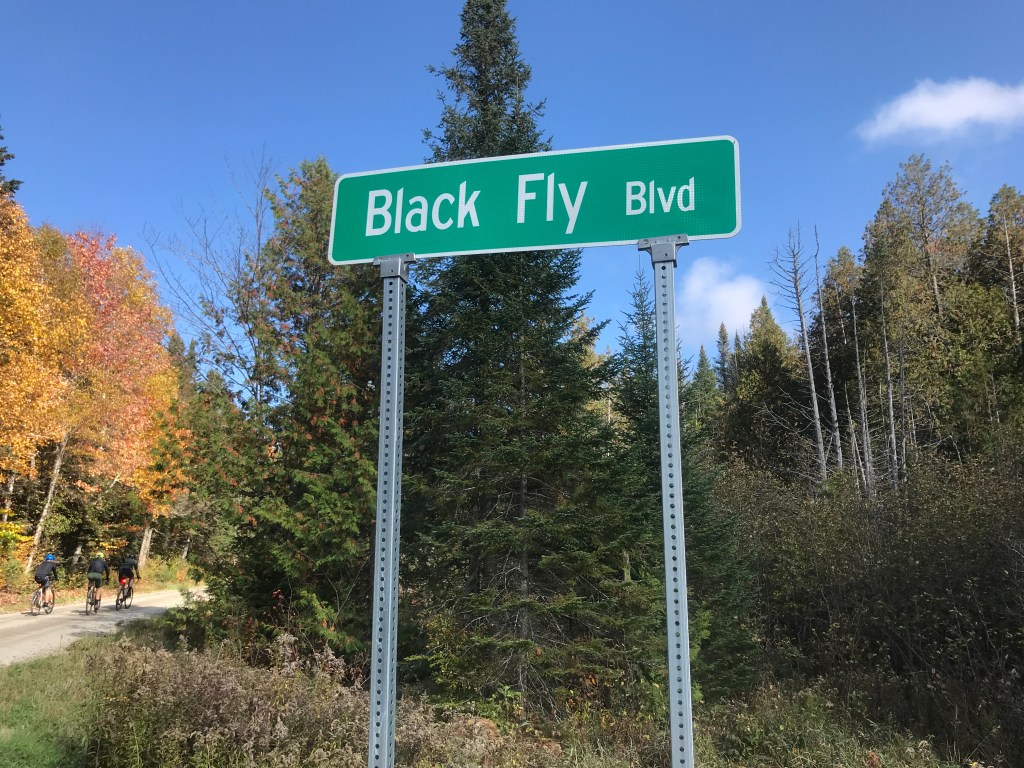
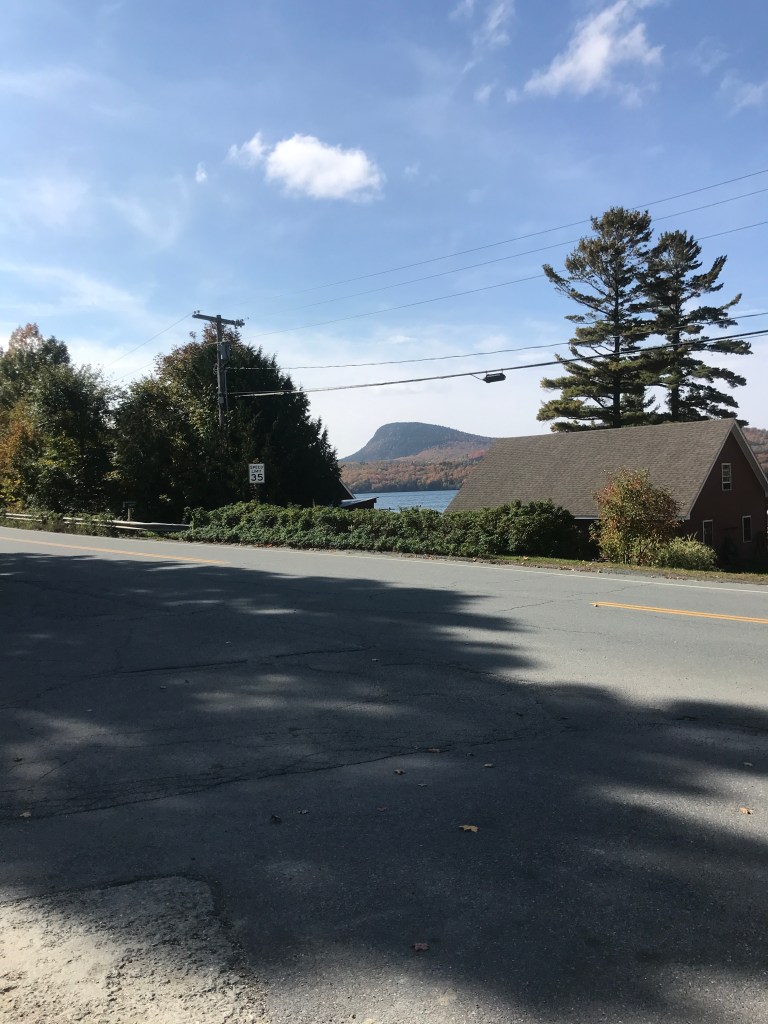
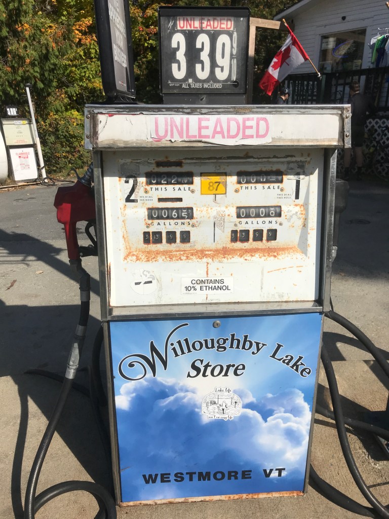
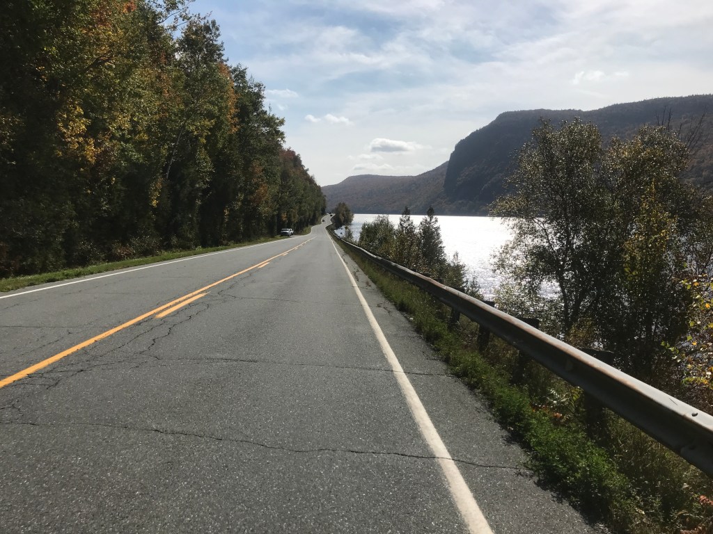
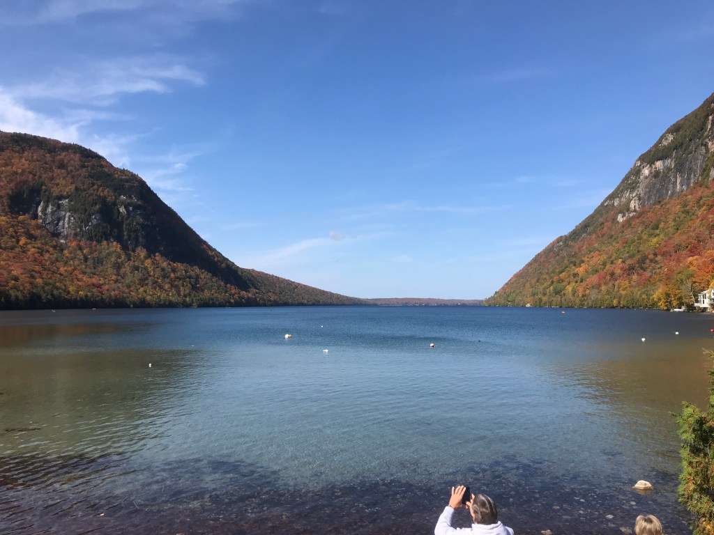
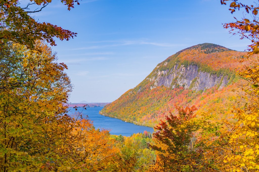
We continued north on Burke Green Road and I was trying to figure out what emo rap sounds like. Jared had just mentioned he began listening to some (in particular Juice WRLD) and I just couldn’t wrap my head around what that would sound like. We soon crossed into Newark and Brad pointed out that were were on the path of the VTXL bikepacking route. He had done it this summer and I tried to incorporate portions of the route and others such as the Vermont Super 8 into these 251 rides. We zipped through the village of Newark, past its classic white church and tiny elementary school (60 students K-8). After zooming down Newark Street, we took a left and Cam noticed his crank arm was loose to the point where it was hitting his chainstay. Unfortunately, there not much to do in the field, so he just threw some tape on there and decided to pedal very carefully the rest of the day. We skirted Newark Pond and turned onto Black Fly Boulevard which is, on the one hand very appropriate (I can imagine the black flies are TERRIBLE up here) and inappropriate (the road is only a few tenths of a mile long and pretty rough dirt). We turned up towards Haystack and Bald Mountains. Haystack is a smallish peak that became more and more prominent as we approached it. Bald Mountain is a popular hike and even has a fire tower and recently refurbished cabin on the top. I’ll certainly need to come back and do a hike or maybe even a ski tour. Long Pond Road is a Class 3.5 road that we mainly saw motorcyclists on. It’s fun seeing other folks enjoying the landscape in a different but similar way to us. We paused at the top having reached what was (with only a few exceptions) an almost 18 mile climb. We were ready for the down. We dropped past the eponymous Long Pond, crossed into Westmore and continued on some loose gravel all the way to the Willoughby Lake Store. We popped in for a quick lunch break. This would be our last real opportunity for food until we were back in Lyndonville. I got an avocado BLT which was delicious and l stocked up on my current favorite sugary treat: bull’s eyes (AKA Goetze’s Caramel Creams). We headed south on Route 5A to parallel Lake Willoughby and hug the cliffs below Mount Pisgah. The road was packed with folks out soaking in the foliage and we moved quickly to avoid being on the road too long. But boy were the views spectacular! Willoughby is the deepest lake entirely in Vermont which makes sense when you see the cliffs of Pisgah dropping down towards the water. Those cliffs also serve as a great base for some world-class ice climbing in the winter. It’s actually really fun to hike and hear the parties climbing just below you as you look out on the amazing views.


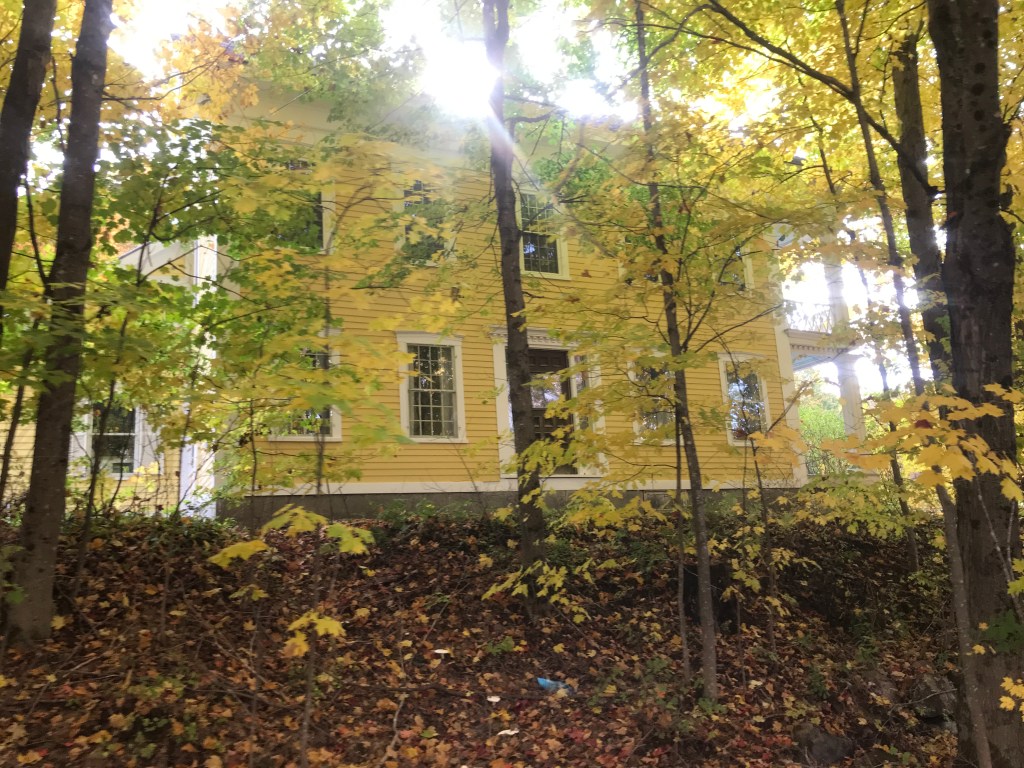
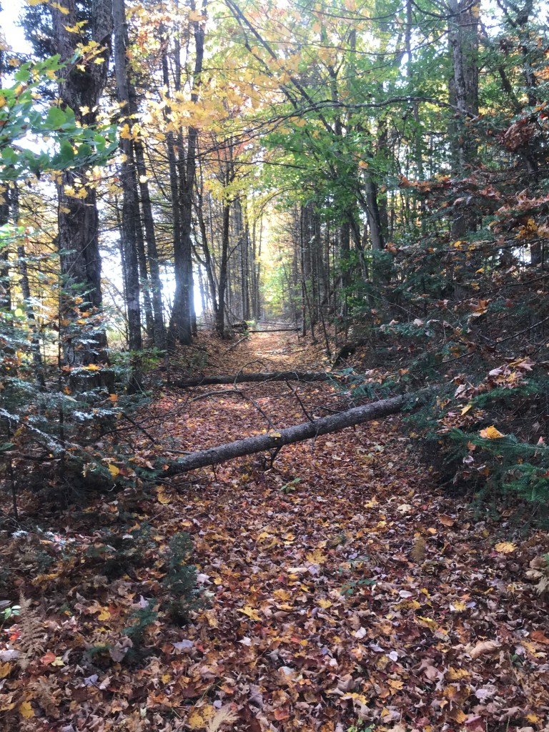
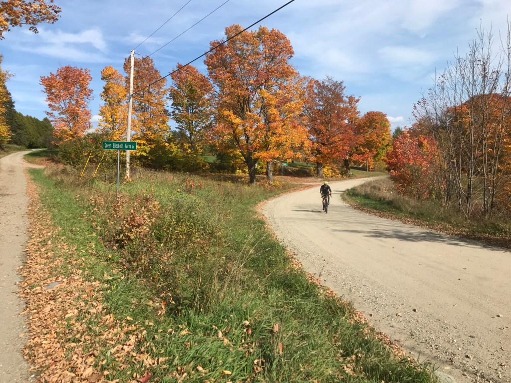
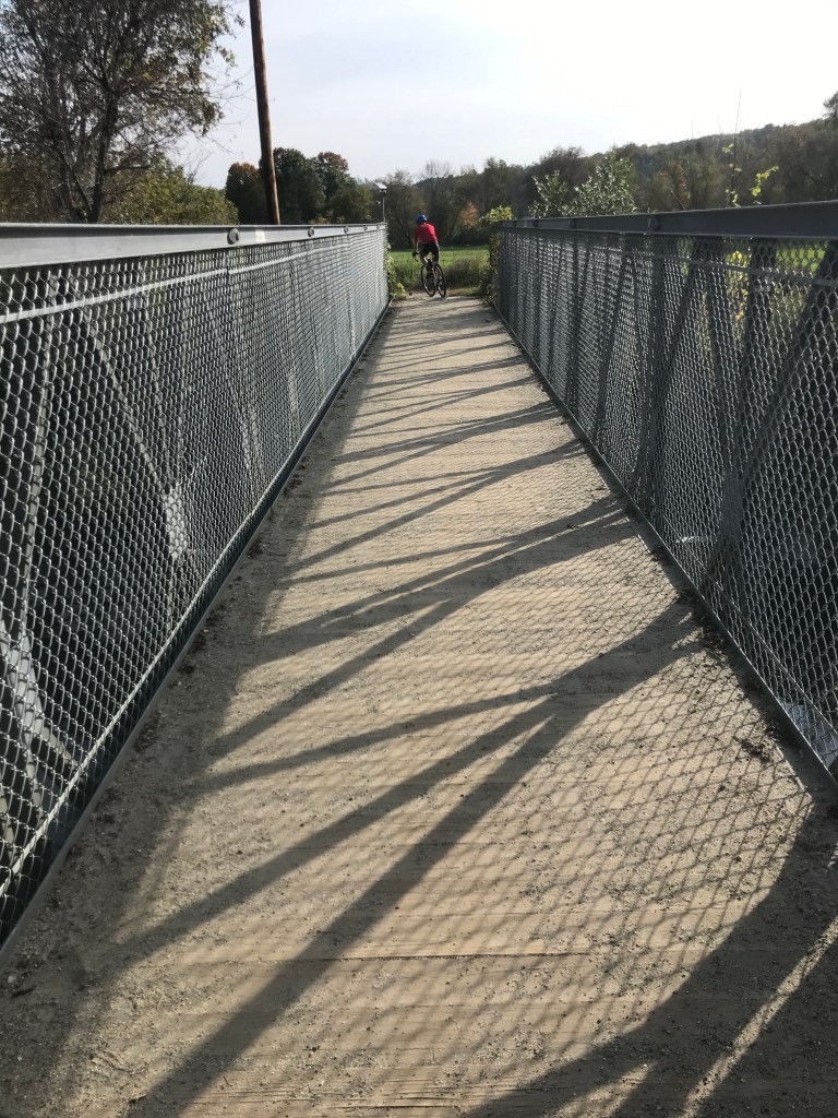
From the throngs of tourists around Willoughby, we headed towards the CCC road that heads up the flanks of Mount Hoar. On the way, we saw more and more folks who appeared to be navigating. They were carrying topo maps, compases and seemed to be doing some sort of orienteering challenge. It turns out it was a 24-hour adventure race called the “Hard Fall”. It involved biking, paddling, trekking and I think may have even included a corn maze! As we climbed the CCC road, I was shocked by how solid the road condition is. Folks drive up there to hike Hoar and there was a light stream of cars up and down. We also passed by the tops of some glades that were cut and are managed by a group known as NEKBC. They’ve worked to get this area and a few others going. I’ll need to come back with Maddie to hit up some of these lines. As we reached the top, I expected the quality of the road to dip, but it stayed just as good! We headed down the elevation we had just gained, but it was worth it. We popped out onto Route 5 and had to do an odd jog onto Underpass Road. We headed up and further into Sutton. The name of Sutton had originally been Billymead, and the name was changed when the townspeople wanted to distance themselves from the “bullying and drunken behavior” of the town’s namesake and son and son of its founder William Arnold. At one point, we headed onto what was supposed to be a Class 4 road, but it was so overgrown, we had to carry our bikes and hike for much of it. Luckily it was only a few tenths of a mile. I thought, at the time it was a section I had included in the route to get a small slice of Sheffield, but I later figured out it was 100% unnecessary and Sheffield came later. I think it was a Strava “shortest route” error. We rejoined actual roads on King George Road right near Queen Elizabeth Farm Lane. Research was inconclusive on the reasons for the royal names, but we did come across a huge former school called the King George School. The 13-building, 300-acre, property is for sale, but since I don’t have a cool million laying around, I think I won’t be the buyer. We did the actual Class 4 section I was thinking of to catch a corner of Sheffield. Then the rest of the ride was some roller coaster up and downs before we reached the long down into Lyndonville. The one outstanding spot was on Pudding Hill Road: it gave wide views to the south. We finished by crossing the Bradley Covered Bridge and riding on the River Trail across the Passumpsic River and to the cars. Brad and I stopped on the way home at Marty’s First Stop (an institution from my many journeys to the Kingdom Trails and White Mountains) and bought some chicken fingers. They, with the help of some honey mustard, hit the spot!

The Details:
https://ayvri.com/scene/gdkz16el5z/ckukgfyo600013e6j9x9kphry

2 thoughts on “Ride 25: Lyndon, Burke, Newark, Westmore, Sutton & Sheffield”