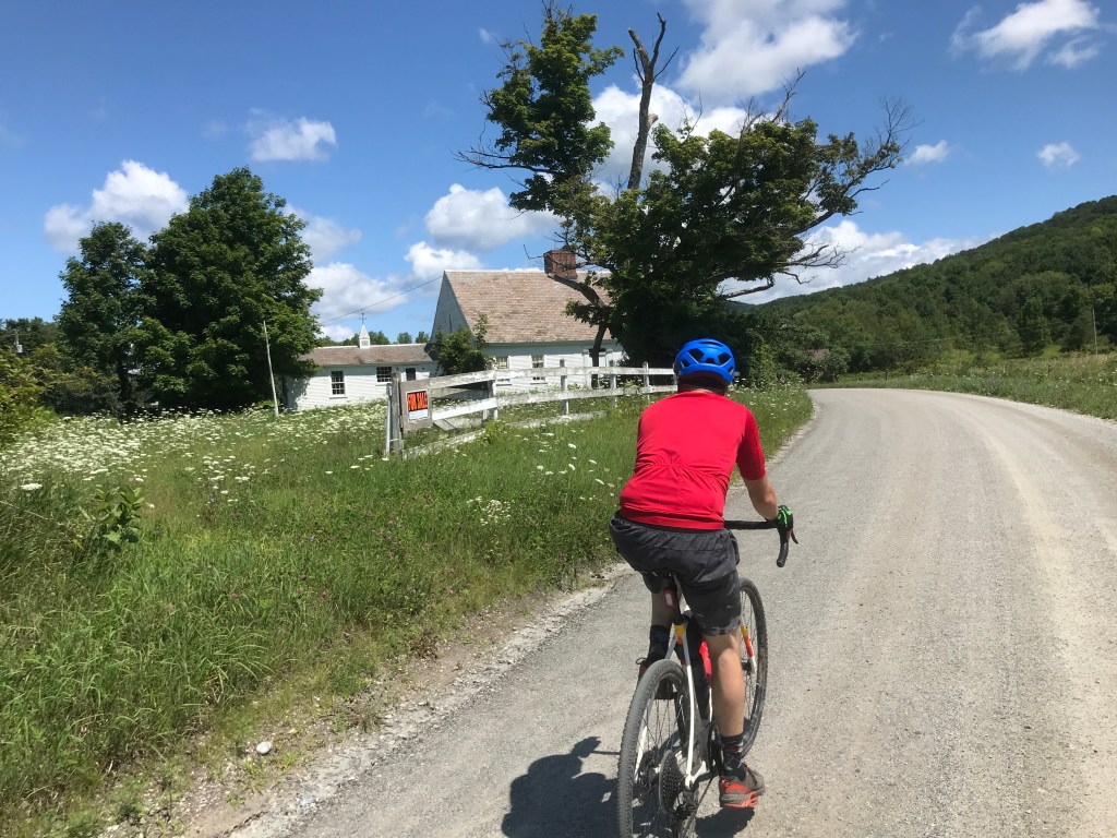
The weather was looking absolutely perfect for a ride on Saturday, so I reached out to some friends to see if anyone would be willing to make the trek south to do a ride with me. I had one hardy volunteer who stepped up: my buddy Jared. He’s been mainly a mountain biker, but this past year, he managed to buy a gravel bike and has really enjoyed it. His wife Sarah was out of town, as was Maddie so it was a perfect set up. We met on the early side and made the almost two-hour drive from Winooski down to Clarendon under sunny skies, but with cool temps (for July). The eight towns we’d be tackling are all situated south of Rutland and tucked into the stubby, but still prominent hills that predominate the area. We began in the small village of Chippenhook. It’s had a varied history, with its river playing a central part. It began by providing power for a few small mills along its banks: carding, saw, cider and grist were among them. Just north of “The Hook” is Clarendon Springs, which gained fame with the other “Springs” of the area during the hydrotherapy craze of the mid-19th century. A large hotel was built to accommodate the burgeoning industry and though it’s privately owned, it’s currently for sale, so there may be guests in its future. Let’s hope!
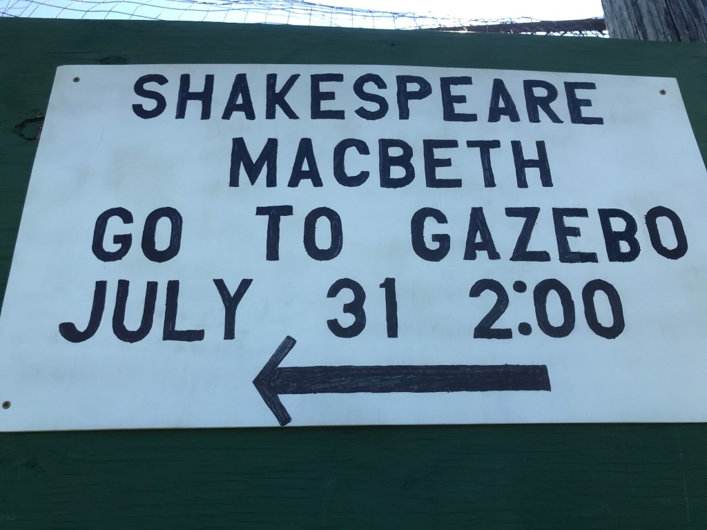
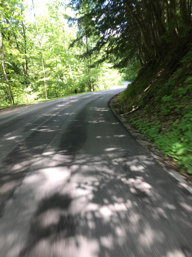
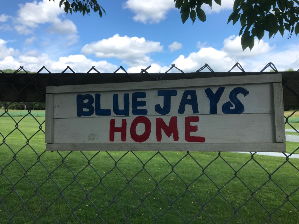
We parked right next to the Chippenhook baseball field and geared up. I saw a small sign on the field’s fence advertising a showing of Macbeth that afternoon at 2:00. I joked to Jared that if we really booked it, we could make the show! We were soon ready to roll and headed southwest onto Gravel Pit Road (I mean how could I NOT include that in the route). Within 5 minutes, we spooked a deer who ran across the road. Per usual, there was a second one who I hadn’t considered and I had to brake a bit to not get too close! We continued south on across the Tinmouth line and were treated to some open views before we turned west towards Middletown Springs. Like Baltimore Vermont that we encountered on Ride 13, Middletown Springs came about because its inhabitants were cut off from the main portions of their towns by ridges:
As grist mills, tanneries, distilleries and saw mills were set up along the Poultney River, and as new settlers arrived, residents of the surrounding towns who lived closer to the new settlement than to their own village centers joined in the new venture. By 1783 this settlement, then parts of Ira, Tinmouth, Pawlet and Wells, held about 300 dwellers, and interest arose about organizing a new town. At a meeting that year, Joseph Spaulding, a native of Middletown, Connecticut, and surveyor by trade, was appointed to map out the borders of a town by following the surrounding hilltops and ridgelines. His survey embraced a six-sided area of some 23 square miles, made up of land from the four adjacent towns, and included the valley already dotted with new homesteads, farms and mills.
–Middletown Springs Historical Society
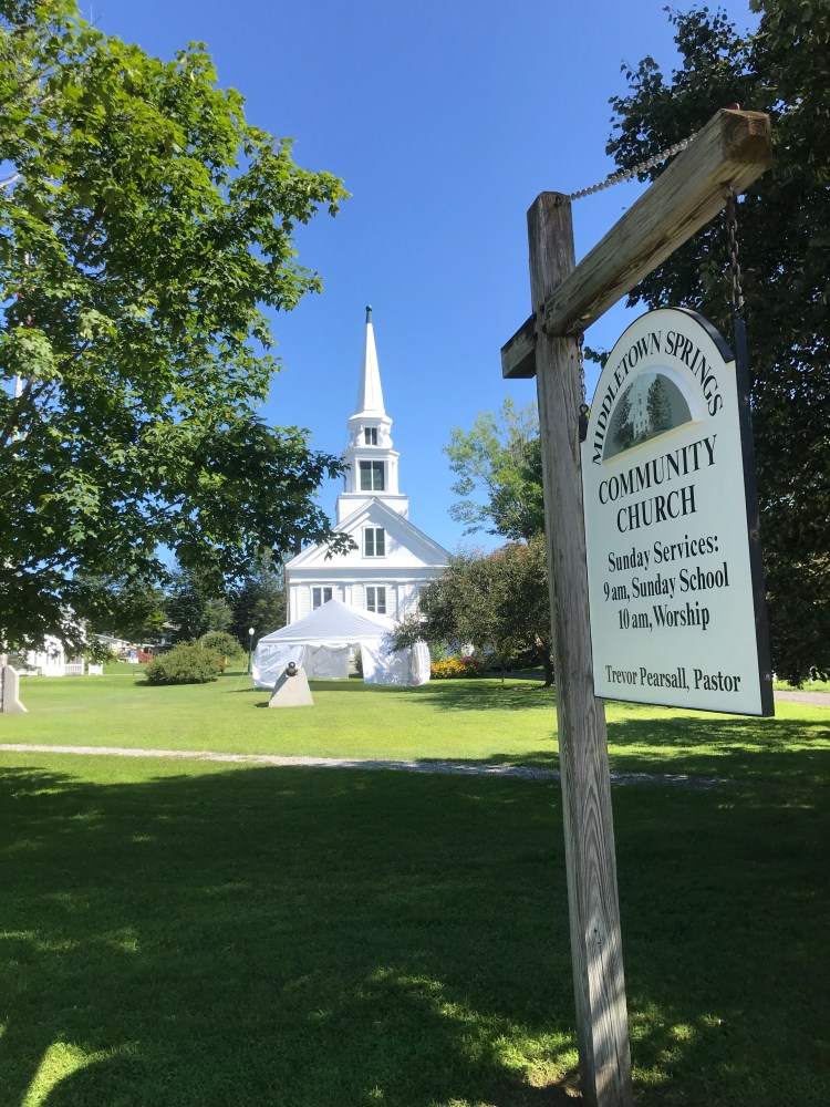
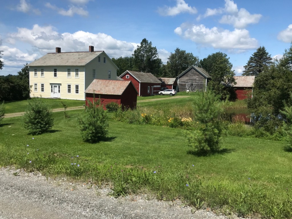
Like Clarendon, Middletown Springs went through a boom and bust cycle focused around their mineral springs, and they are today known for their idyllic scenery and unique shape. We stopped briefly next to the town green and Grant’s Village Store, but since we hadn’t been riding long, we soon moved on to make our way into the next valley and the town of Wells.


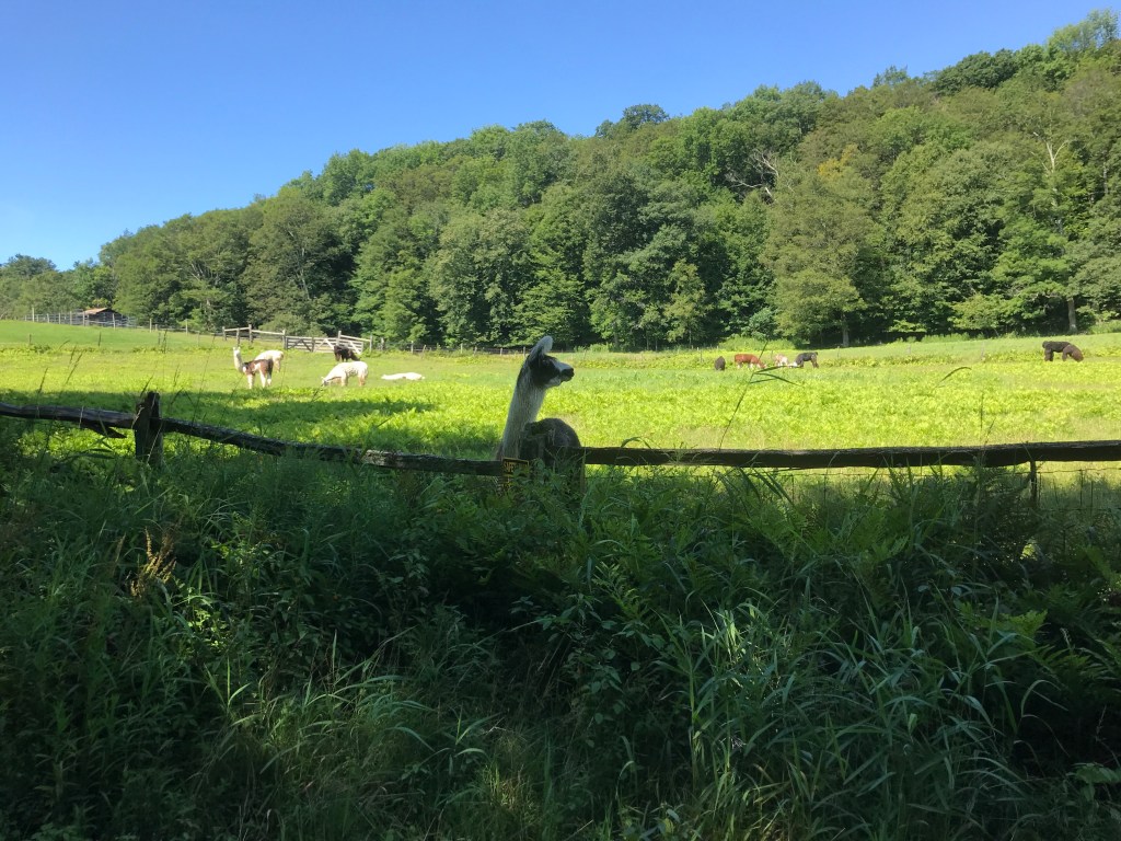
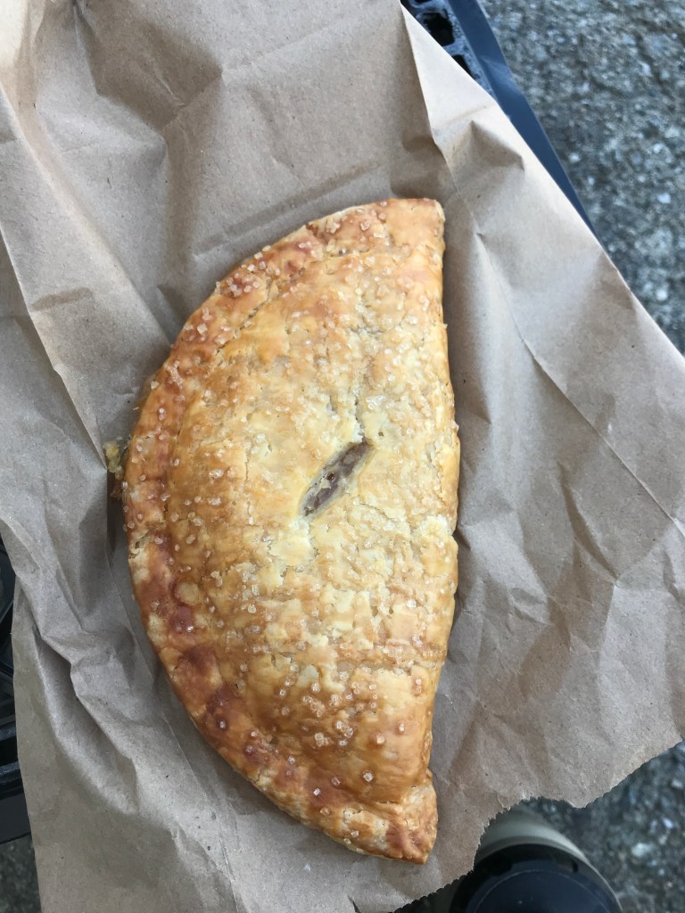
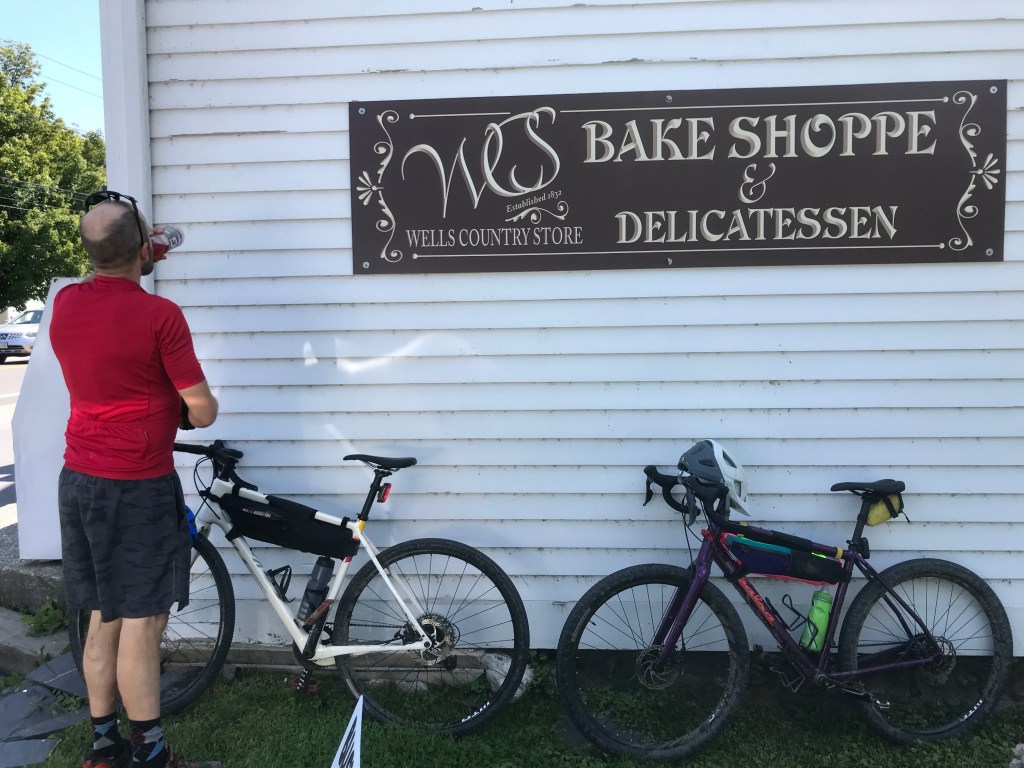
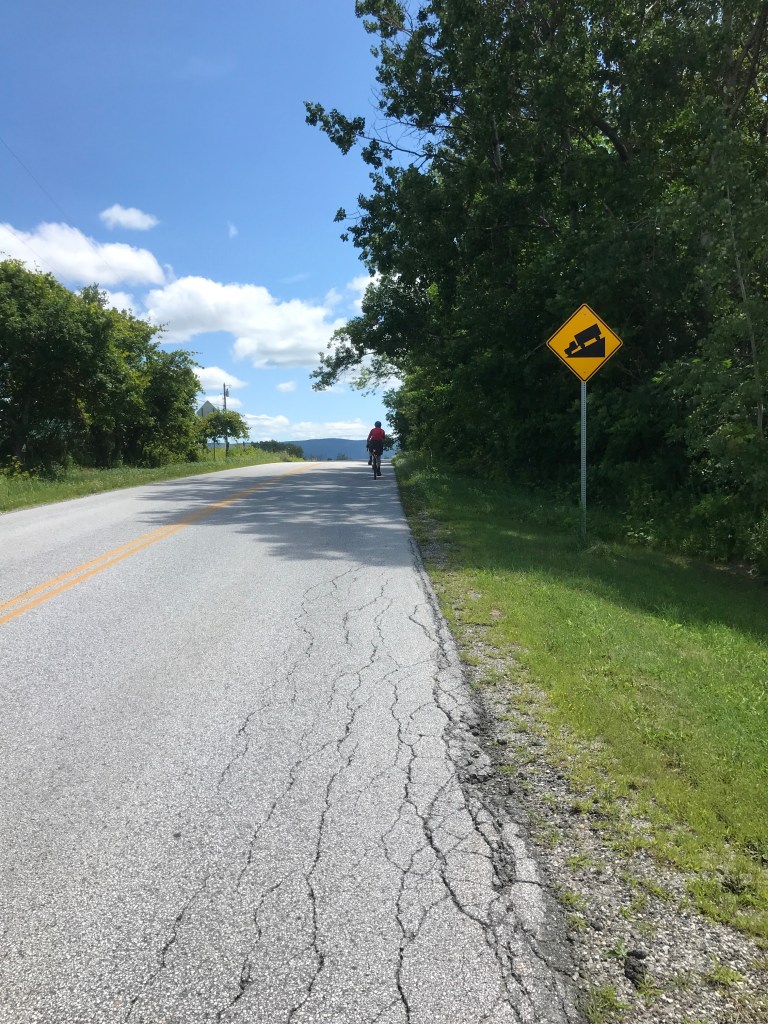
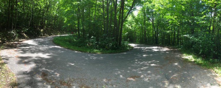
From the village, we headed south on Route 133 for a little bit until we hit Coy Hill Road. This took us steadily up and into some more sparsely populated parts of town. We passed by an alpaca farm, a maple operation and a few other scattered houses. The road slowly narrowed and at one point a truck slowly passed us and its driver said “It’s a steep road.” As if we didn’t know already! Eventually, the road became a Class 4, but it was all rideable. It was another classic case of a town border running through the area and each respective town maintaining the road to the last house on either end, but neither wanting to commit to keeping the middle, non-populated part passable to cars. We eventually reached Lamb Hill Road and had a fantastic descent: fast and a little loose, but nothing crazy. After a little blip of a climb, we dropped further down to our lowest elevation of the ride and into the small village of Wells. I’d actually been in Wells a few years ago, when I did a two–day tour in the area in 2018 on my trusty old Jamis. I had stopped at the Wells Country Store then and knew they’d have some goodies, so I made sure we popped in again. Sure enough, they had a small but delicious-looking spread of items prepared in house. I was immediately drawn in by the hand pies: I’m a sucker for pies already and when they’re handheld, it’s game over. They even had peach, so I was in heaven. We sat on some rocking chairs out front, did our best to help some folks get to Lake St. Catherine and enjoyed our snacks. The sun was really getting warmer now and the shade felt nice. The next leg didn’t offer much respite, so I was happy to have gotten some time out of the sun.
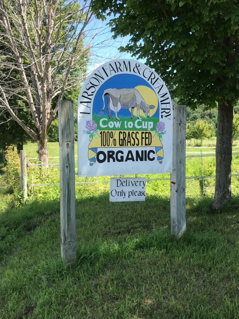
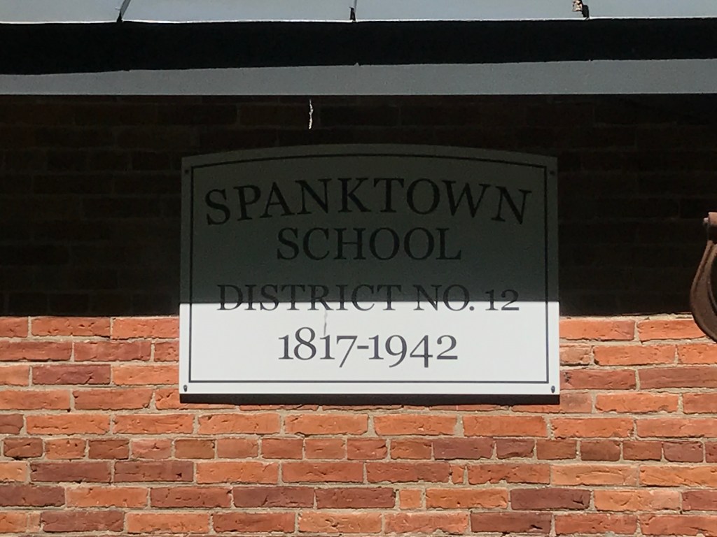
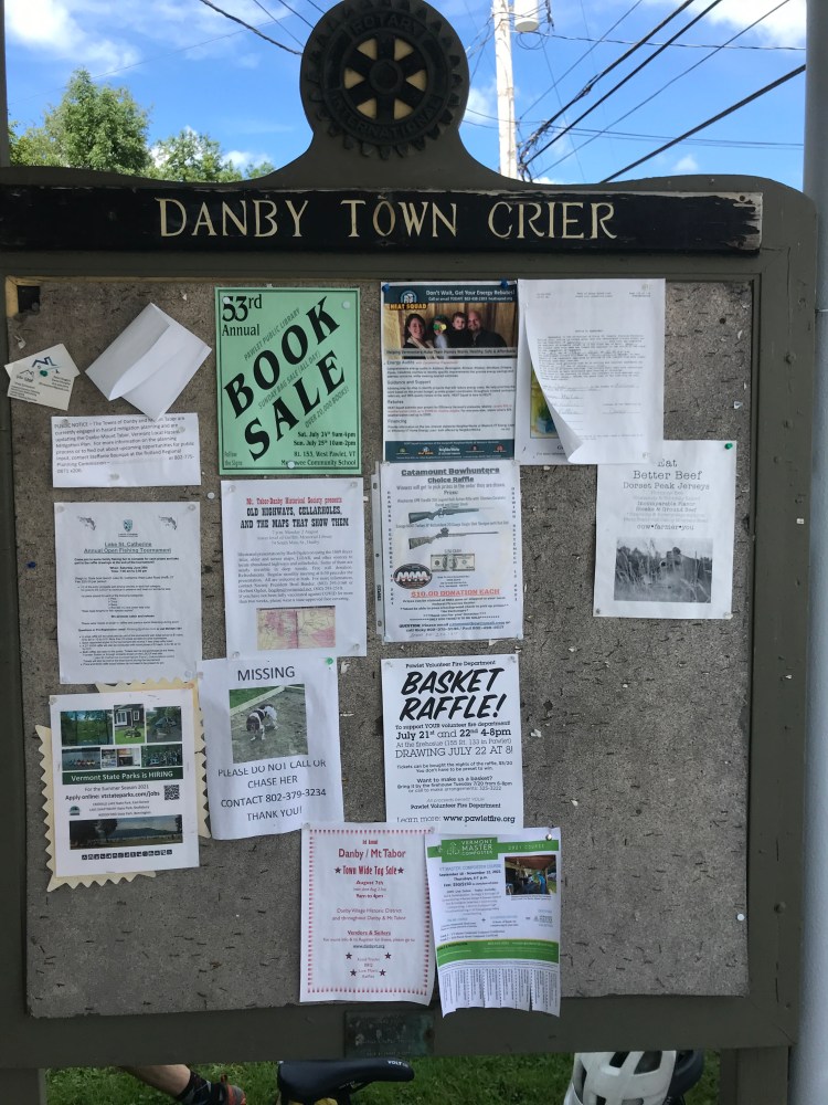
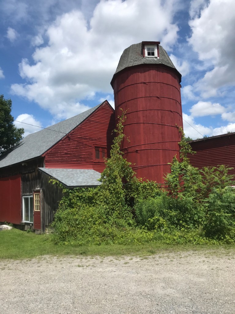
We continued south into Pawlet. I was impressed at the set-up (and sign) of the Larson Farm. I especially like their tagline “Cow to Cup”. Pawlet is known for its agriculture, but ever since VTDigger published an article on the facility, Pawlet has been mainly known for its renegade militia training facility “Slate Ridge”. The owner of the land, Daniel Banyai, has been accused of illegally owning weapons, running a firing range without proper permits as well as threatening his neighbors and town officials. The story has garnered widening and continued coverage, even national attention. It also just so happened to have even been featured on This American Life just this weekend. I literally happened to flick on VPR and heard it! It’s a wild story and one I wasn’t actually thinking about during the ride, but after I made the connection, I was a bit creeped out that I was only a couple of miles away from the training site. We turned east away from Slate Ridge and Route 30 to begin a series of sawtooth climbs. Right off the bat, we passed the funnily-named Spanktown School, which served as a one-room schoolhouse from 1817 to 1942. I couldn’t find any definitive answer on where the name came from, but I would hope it has nothing to do with corporal punishment, it sounds naughty enough. We continued up and down the three sawteeth working our way into Danby, passing both modern, fancy farmhouses, and falling apart historic farmsteads as well. We ended with the climb up the paved Danby Pawlet Road, passing into yet another valley.
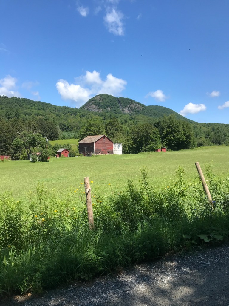
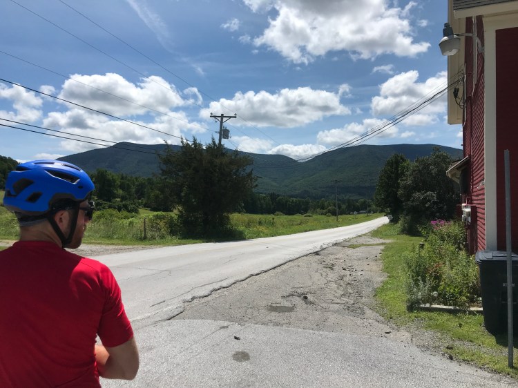
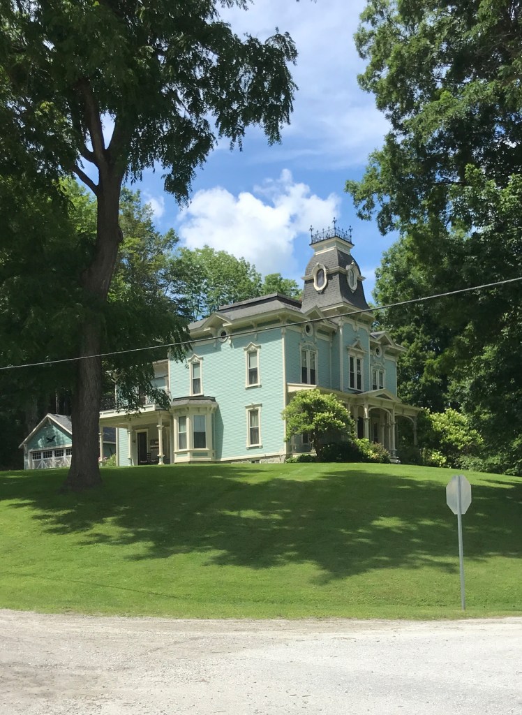
After earning our way up to the highest point in the ride, we were ready for a long downhill. Luckily for us it came, and came in two parts: the drop into the higher valley that contains Danby Four Corners and the twisty route that follows Mill Brook down into Danby Village. Most of Danby’s flat land is contained in the first valley we entered and because it abuts some relatively steep hills above, it makes for stunning scenery. The valley is also home to the Smokey House Center which cultivates “nutritious food, healthy land, a vital local economy, and resilient young people”. I’ve always heard of them, and will have to go back for a visit. We reached the former Danby Four Corners Store, which is now a day care and paused for a brief rest to soak in the view. We now had the rest of the descent past the brook to enjoy. This fast road jumped back and forth across the flowing water and I later confirmed that people definitely paddle it. We arrived in the small village of Danby which I’d zipped by at 50 mph on Route 7 may a time, but had never stopped: shame on me! It’s small, but there are a couple of nice stores and a lovely green all nestled next to the Mill Brook. Much of the wealth in the town came from the nearby timber resources and the large marble deposits that run through the area. One quarry located in town is the world’s largest underground marble quarry and it runs 1 ½ miles into Danby mountain!
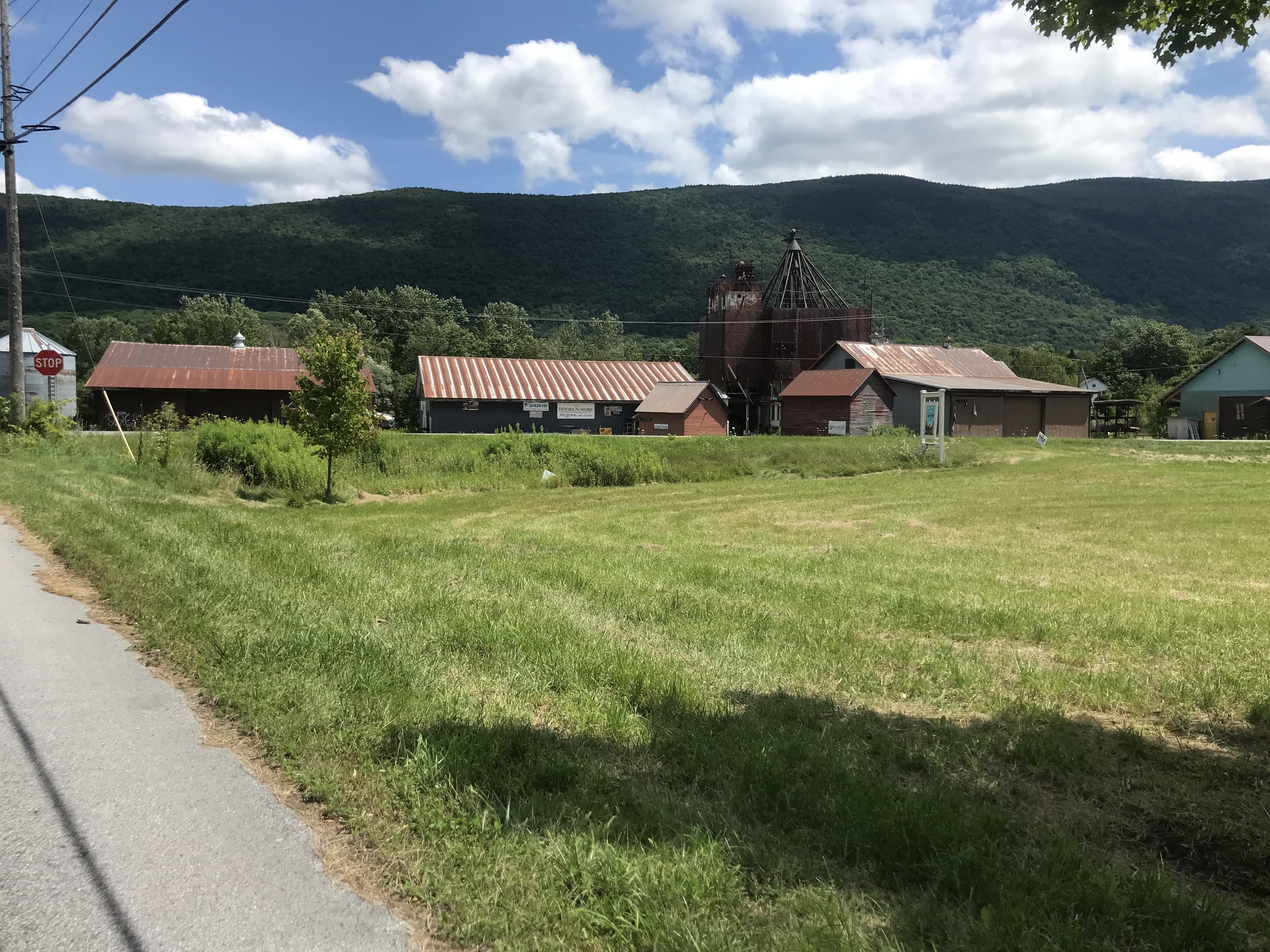
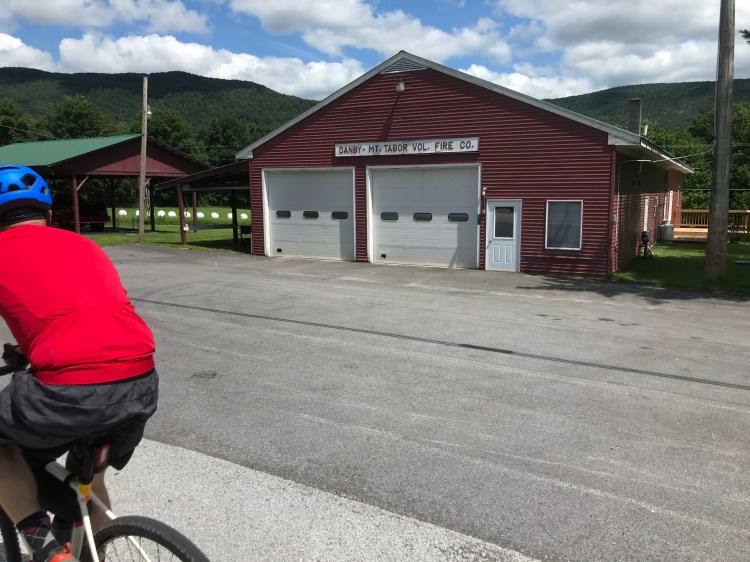
We stopped briefly, then took a short out-and-back detour across busy Route 7 to visit Mount Tabor. The town has always been a bit of a mystery to me. From the main road you can see rusted out industrial buildings and I was always intrigued. Route 7 certainly is one of its largest resources. It’s a notorious speed trap and they have one of the lowest tax rates in the state thanks to that fact. After the speed limit was lowered, they received $131,074 in traffic fine revenue in 2017 which works out to $524 per person in the town of 255! The majority of the town’s area stretched up into the Green Mountain National Forest. It’s a great area for recreation as well as hanging out with your extended Rainbow Family of Light. We headed through the small cluster of houses and entered the White Rocks National Recreation Area and began to climb up the paved Forest Service road. Because this was a short spur, we decided not to go too far up the road, but it was nice to see the views from the bridge across the Big Branch and appreciate the switchbacks climbing up the side of the valley. One day I’ll have to come back and do the road all the way to Landgrove, where it connects with my route from Ride 5. We backtracked down the hill and made a brief stop at the Nichols Store (recently under new ownership and rebranded as the Danby Village Marketplace). They JUST opened and were still building up inventory, but had some beautiful old cases and coolers and have plans to revive the deli counter in the back. They also kept up a poster for the 1987 movie “Baby Boom” which filmed in nearby Peru. I would imagine that poster has hung there for years! Headed out and pushed on north to capture our last town of the day: Wallingford.


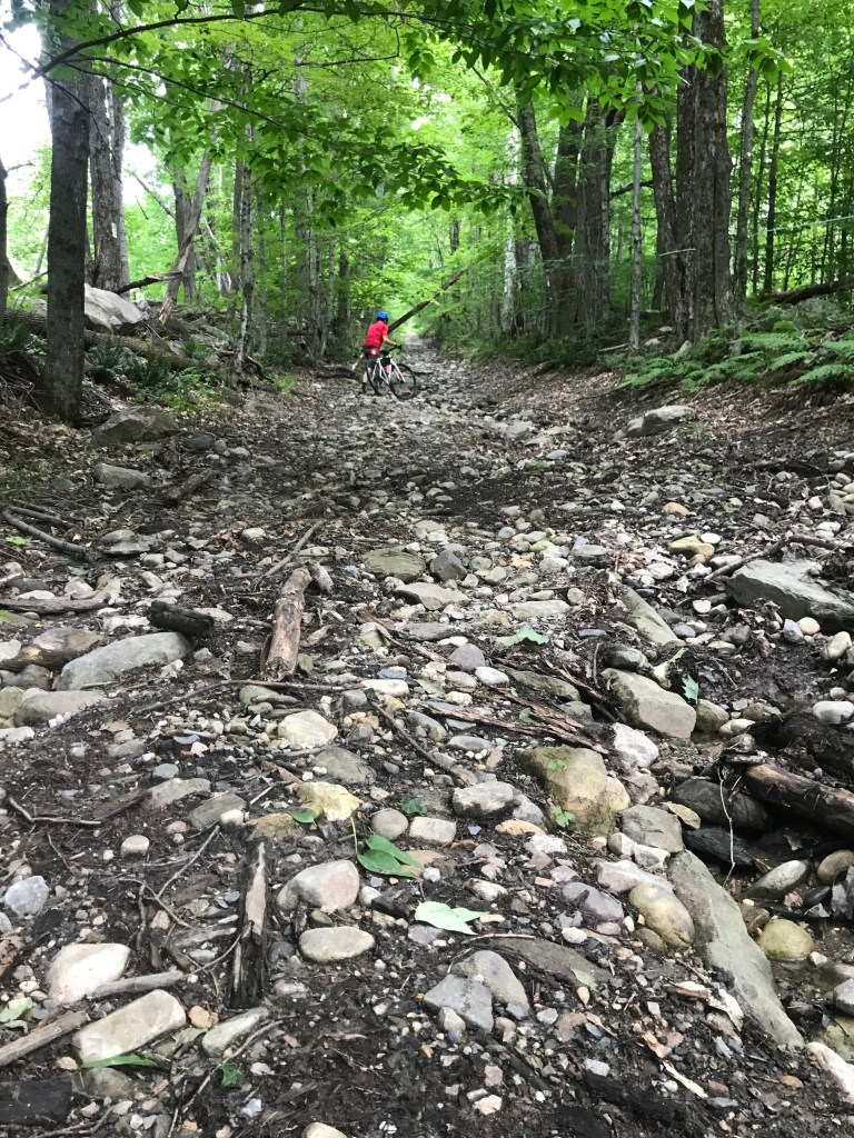
With a little detour onto Route 7, we began the trek back up towards the high valley to make our way north. We worked towards Chipman Lake, a small shallow lake with limited public access. To connect onto West Hill Road, and cross the Wallingford line, we had to climb a very steep Class 4 road. It looked more like a dry streambed than a road: there were large, loose, round rocks everywhere. So needless to say we hiked it. But it was worth it. The houses and views along West Hill Road were fantastic! At one point we came across a large open area with stunning views over to the White Rocks Cliffs. The area can be seen from a ways away thanks to the huge expanses of scree that have dropped down from the cliffs over thousands of years. The loose rock blankets the hillside and on this sunny day it was practically glowing! The area’s interesting geology is also mirrored by its unusual legends. (I highly recommend clicking that link and reading the whole article: there are silver coins lost by Spanish explorers and a statue of a boy with a leaky boot. I mean c’mon!). We meandered north and slipped back into Tinmouth on Route 140. We then headed up the other side of the Tinmouth Channel Wildlife Management Area that we had skirted by that morning. We had more nice valley views and made it back to Chippenhook right as The Scottish Play seemed to be letting out. It was so nice to spend some quality time riding with Jared. I hope he comes along on another!


The Details:
https://www.strava.com/activities/5717749244
https://ayvri.com/scene/gdkz16el5z/ckrsdh7s600013h6iyeazgr0i

One thought on “Ride 21: Clarendon, Tinmouth, Middletown Springs, Wells, Pawlet, Danby, Mount Tabor & Wallingford”