For Ride 19, I got some friends to join me, which was a nice change from the past few solo rides. We planned to head down to Barre and do a short-ish ride. Sadly, Brad couldn’t make it, since he used to teach at Spaulding High School in Barre and has done some riding down there. Because of that, he helped me out a good deal on the route. I had hoped to do link in the quarries and maybe Hope Cemetery to highlight the granite Barre is famous for. Sadly, I just couldn’t reasonably do it. Barre has had some hard times, but the area is revitalizing (slowly). But if you’re ever in the area, definitely check out the quarries: swimming/cliff jumping, mountain biking, disc golfing and more!
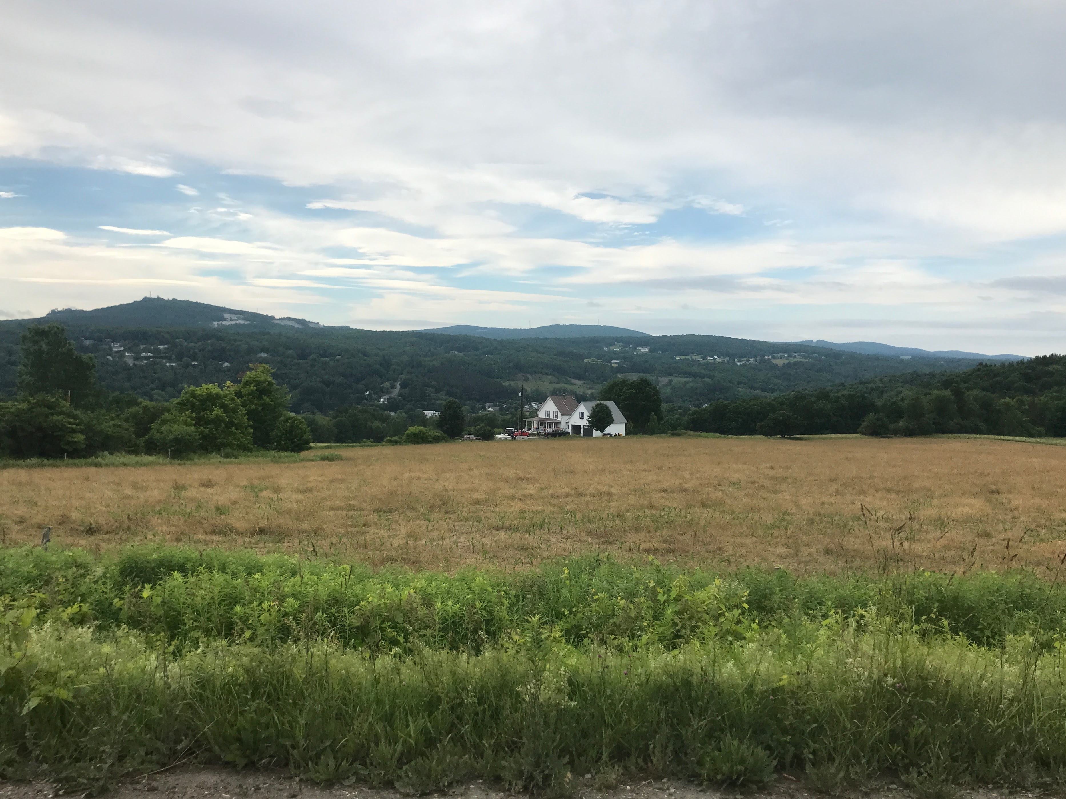
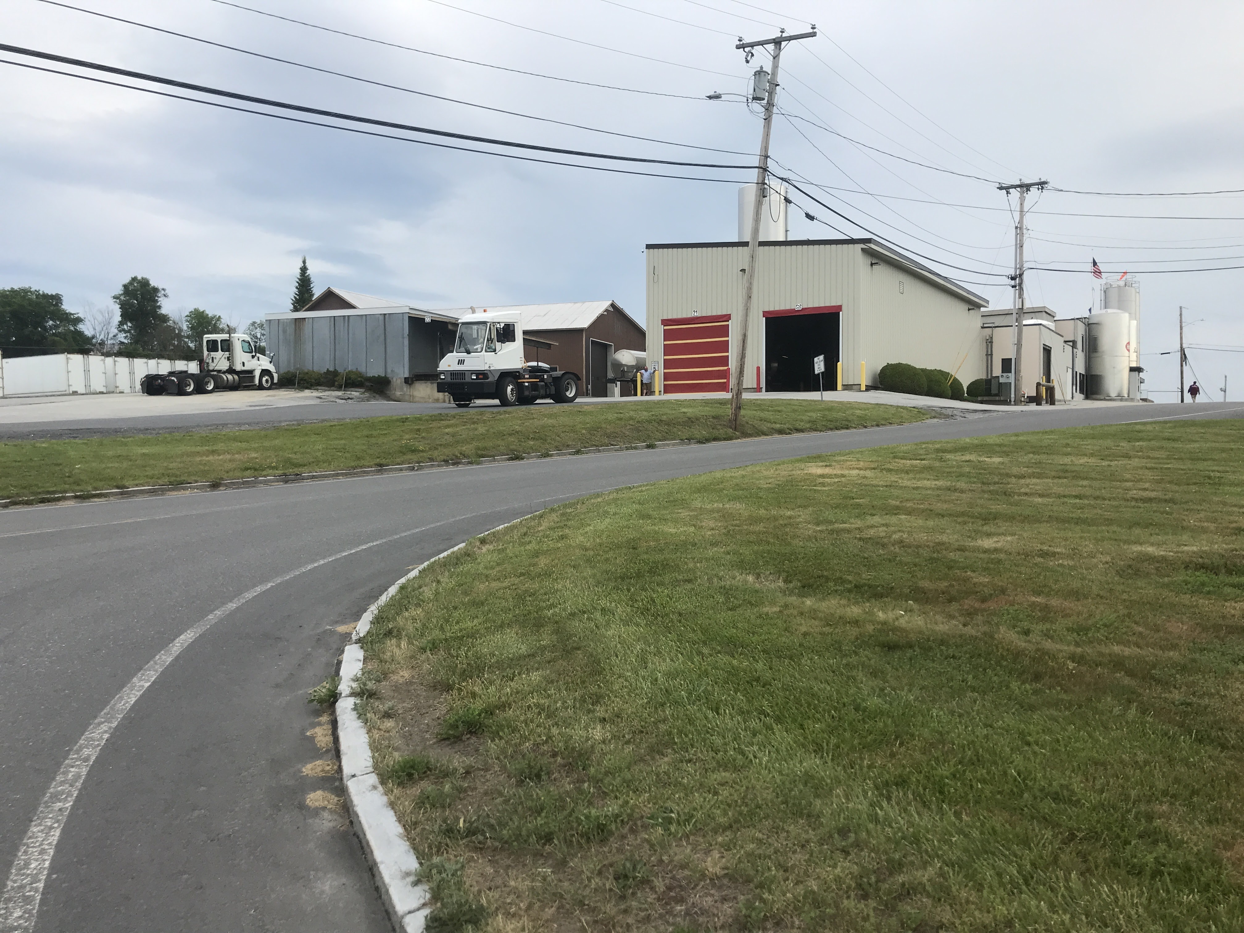
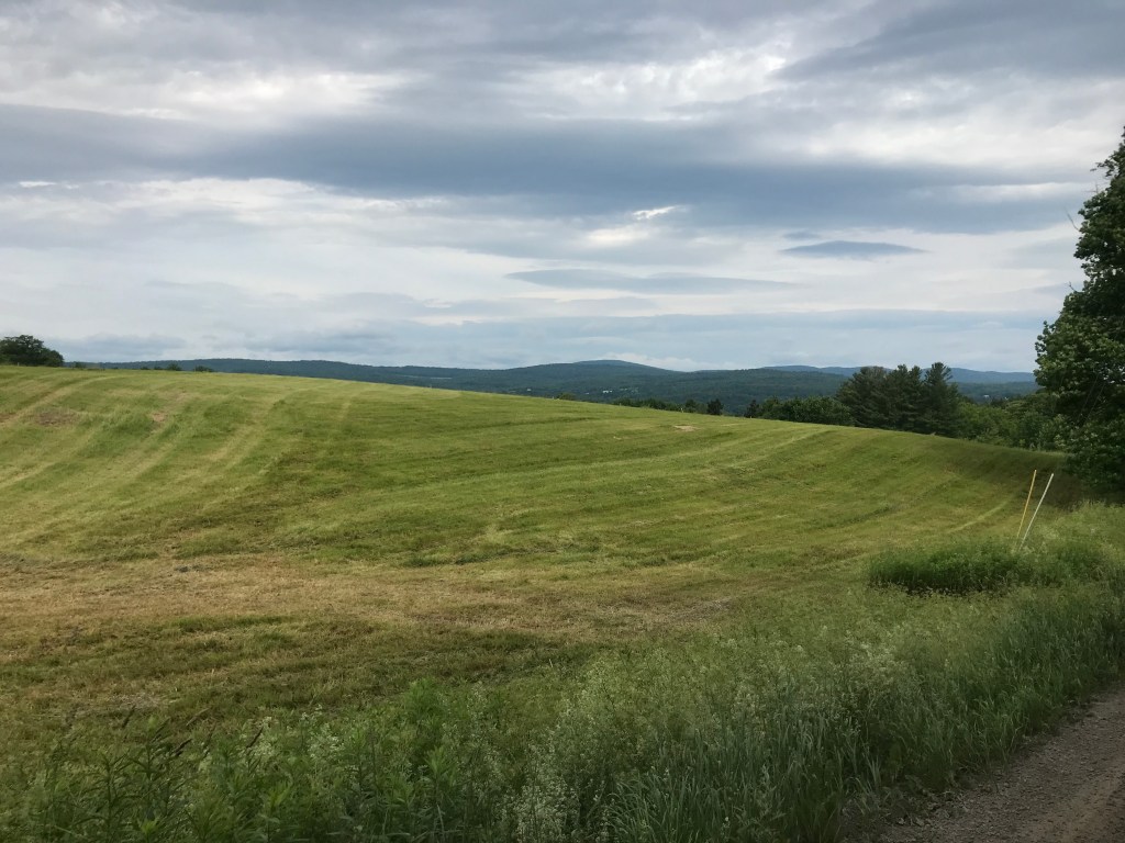
It was supposed to rain later, so I met up with Rafaela, Cameron and Rafa’s friend Daniel at 7:45, at the high school. We got rolling soon after and headed towards one of short bike paths in Barre. We rolled across the Stevens Branch and quickly headed up hill. Barre is tucked into a pretty tight valley below the quarry hills (not to mention Thunder Road, the race track famous for our Governor and Bud Hill). Luckily the bike path served as a mellow traverse, breaking up the climb. We also passed out of Barre City into Barre Town. Like Saint Albans on Ride 11, Barre split into two municipalities. In 1895 4 square miles of the town were set aside and were incorporated as a city. The scenery quickly turned to match the “Town” moniker and as we climbed we passed a Hood bottling plant, just to bring the point home. We also began to get views over towards Graniteville & Websterville: the quarry sections of town. It’s easy to know where they are from across the valley thanks to the huge piles of “grout“- the waste granite that’s piled up next to quarry sites. We were still on pavement (as we had been from the beginning) until we jogged left onto Lower Usle Road. From there we continued climbing and heading south towards Route 63 and the Williamtown line. We reached the top of the climb that proved to just be a warmup for what was to come, but we very much enjoyed the descent under cloudy skies and somewhat reasonable humidity.


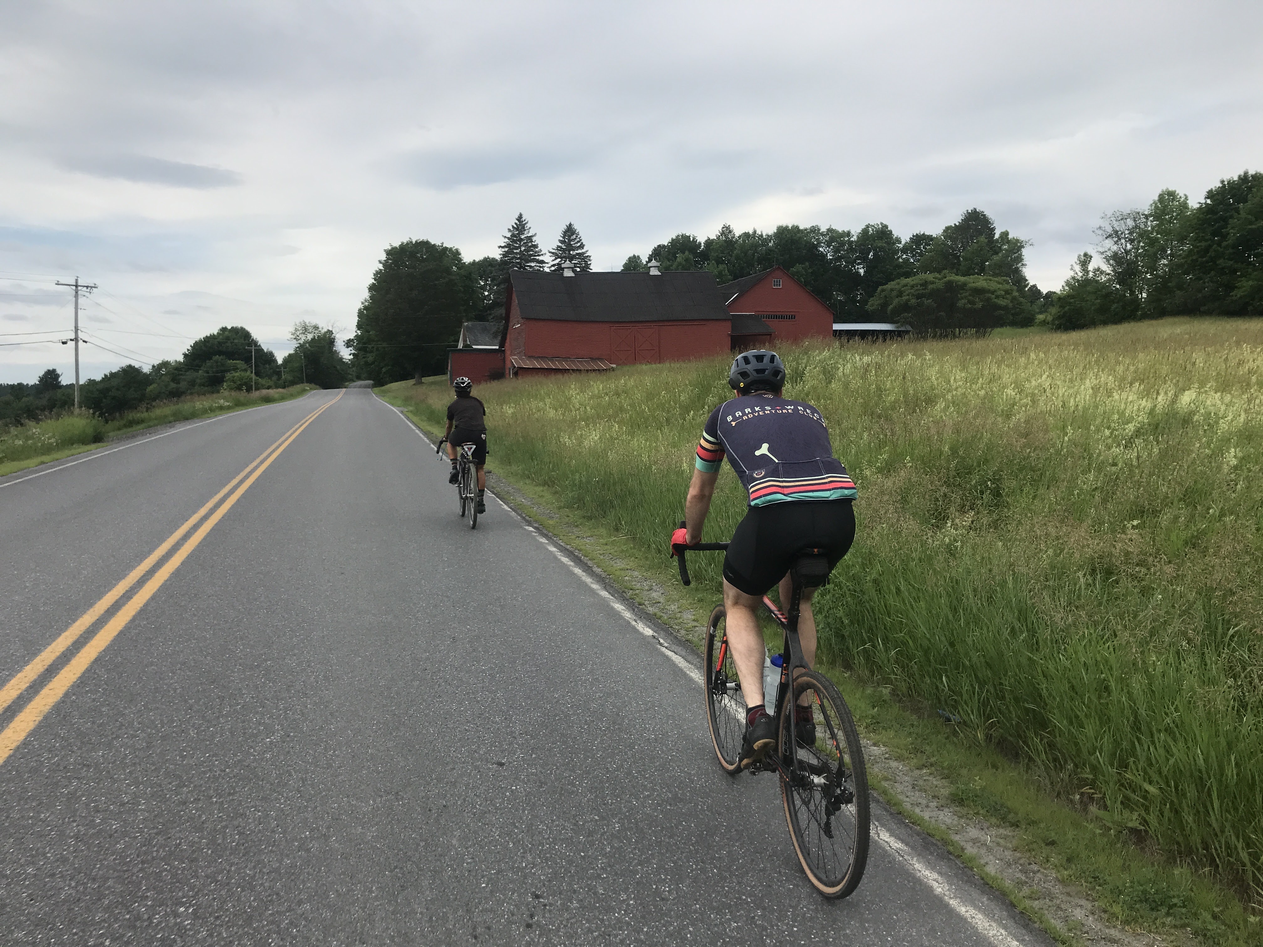
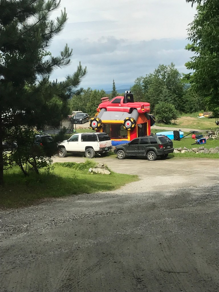
Once we dropped down into Williamstown, we didn’t even really make a stop. It’s a nice village with an amazing “Spider Web Farm” just south of town. I’m fortunate enough to own one of their spiderwebs which they capture and preserve on boards. The town was named for Williamstown Massachusetts, north of where I grew up but alas: we had more miles to grind out and a fairly large climb ahead of us, so we pushed right on through. This part of the state has numerous valleys that run north-south and we were about to go over one of the last clear ridges that separates them. We huffed and puffed up to Tower Road where we got a reprieve by riding along contour lines, instead of across them. Along this stretch we were struck by an amazing bouncy house that had a monster truck on top that was being actively used by some kids. Daniel and I turned around to get a second look (and a photo). When we got back we could hear the kids fairly well. We heard one of them call another a “baby” and then suddenly another retorted by calling the first kid a “f**king c**t”. It was so shocking (not to mention incongruous with being in a bouncy house) we could barely believe our ears! Needless to say we pushed on towards the top of the ridge and a short Class 4 section. The transition from Washington Road to McDonald Road is a classic Class 4: probably passable by most high-wheeled vehicles, but being on the border of two towns and the locals probably not minding the dearth of through traffic, it sits in limbo: not actively maintained. We picked our way down the road and after Rafa managed to rescue Daniel’s iPhone that jumped out of his pocket, we pushed on towards Washington. Side note: Poor Farm Road just after the Class 4 section looks very enticing and worth coming back to explore. Side note to the side note: I’m not sure if I’ve mentioned this in other posts, but for the longest time, I thought “Poor Farm Road” (of which there are many in Vermont) referred to the quality of the soil and the farm in general, but it turns out they’re referring to the people who lived there:
Poor farms started almost as soon as Vermont did. In 1797, the Legislature of the young state passed a law requiring that “every town and place in this state, shall relieve, support and maintain their own poor.” The law ordered overseers of the poor to care for any “poor, lame, blind, sick and other inhabitants” who were not able to maintain themselves.
Then Again: Care, sometimes abuse, on Vermont’s poor farms
By Mark Bushnell
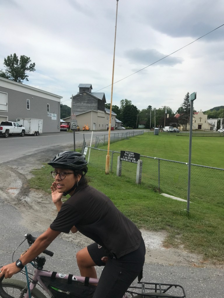
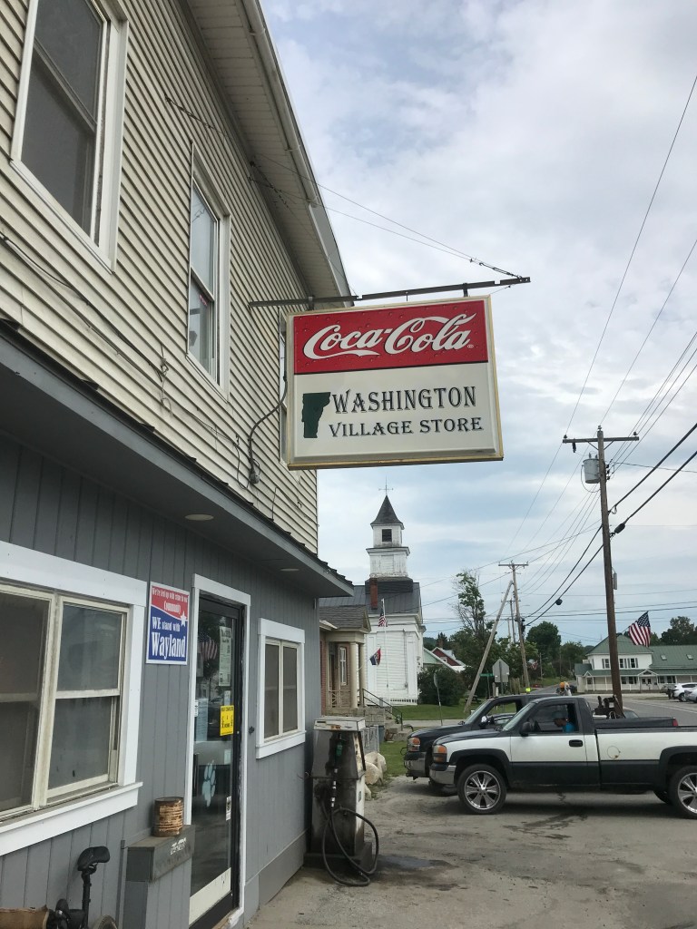
Poor Farms continued until 1967 when the Social Welfare Act removed from towns both the right to operate poor farms and responsibility to care for the poor. They certainly have a complicated history, but I’m always so amazed by how their biggest trace these days is basically road names. We continued down into Washington, where we made a pit stop at the Washington Village Store for our last guaranteed food and water for the rest of the route!
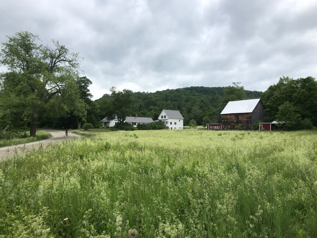
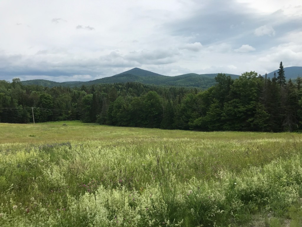
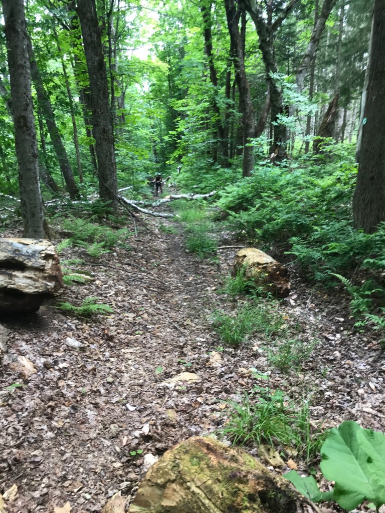
After our brief stop, there was more climbing ahead. Luckily, we’d not descended as much as the we’d climbed before so it would be shorter and mercifully a little less steep. Things also tend to get a little more remote in this area as well. East Washington, South Orange as well as parts of Corinth are pretty wooded and not even traversed by many trails. Luckily for us, East Orange Road is there and beautifully maintained dirt. After our shorter climb, we had amazingly smooth sailing down its almost-paved feeling surface. It was the kind of slope where braking wasn’t needed and pedaling was optional. Where you can almost feel like you’re flying. At an opening in the trees, we came to a lovely old homestead and took a left onto Notch Road. Technically classified as a “Legal Trail“, this public right of way was much better maintained than you might expect based on that title. It also serves as a snowmobile trial in the winter, so it was really quite pleasant. The first part of it climbs gently allowing access to some seasonal camps, then after Woodchuck Hollow Road it closes in some and the camps begin to thin out. Eventually, it’s true double track, but the surface is never punishing or technical. A few things to note: there appears to be an informal campsite back in there and I may have to check it out. Woodchuck Hollow also seems like another neat way to get up here from town and I may need to explore that in the future too. At the notch proper the road becomes a bit, steeper, loose and wet: certainly not a section I’d prefer to climb. But we picked our way down the trail, dodging obstacles and trying not to break too much for the sake of our rotors or forearms. Rafa was rocking rim brakes, so she gets an MVP award for that.
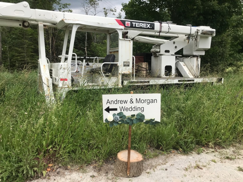
We continued north towards Route 302 and the town of Orange. There isn’t much to the center of Orange: there’s a highway department building, the town offices, a school, a church and a used auto dealer. We did get a wave from some friendly folks in front of their house, but we were quickly through. Some rolling hills passed by nicely and the chatter came around the the song that was stuck in my head. It was one that was actually stuck in my head on the last ride: “The Happiest Girl in the Whole USA” by Donna Fargo. We talked about how maybe songs just get stuck in your head to match your mood: I was feeling as good then as I was on the last ride, maybe. Who knows?! A little more progress north and we crossed into Plainfield. You may remember Plainfield from Ride 14, so why would I return? To be honest, I kind of gave it short shrift on that ride and (though it counted) I wanted to really pay it some respect by not just clipping it this time. Once across the town line, we climbed up Maxfield Road. At the top sits the Spruce View Event Barn (congrats Andrew & Morgan!) and the Plainfield Town Forest. On the way up we also got a view north to Spruce Mountain which has awesome fire tower on top that Maddie and I enjoyed this winter!


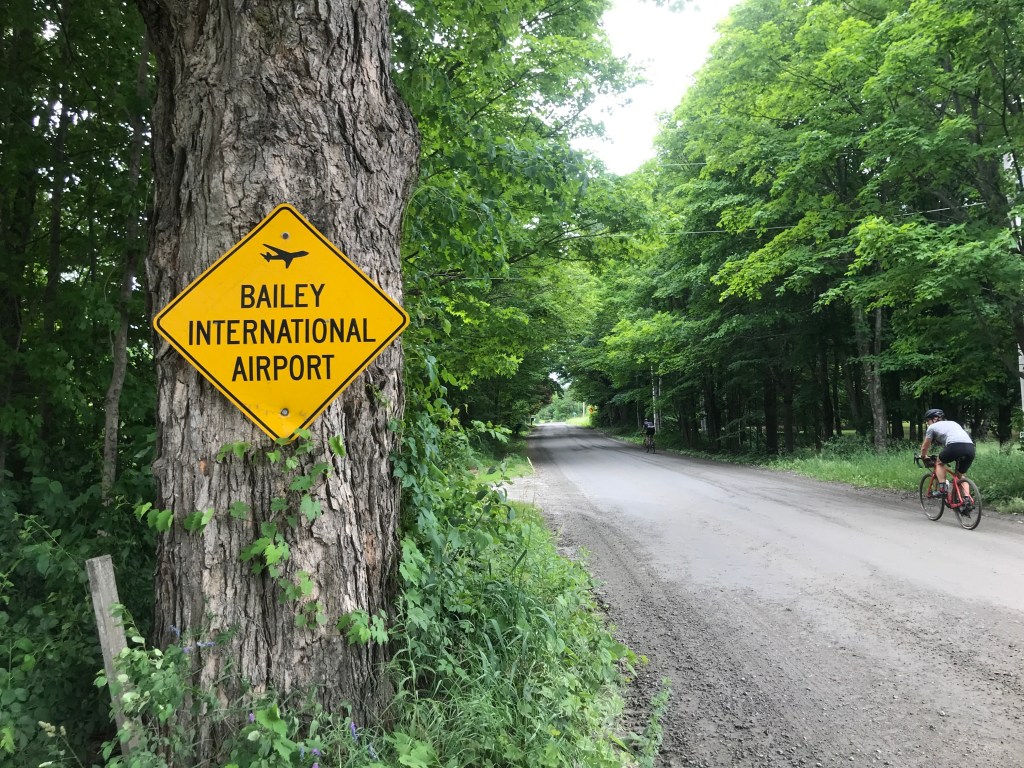
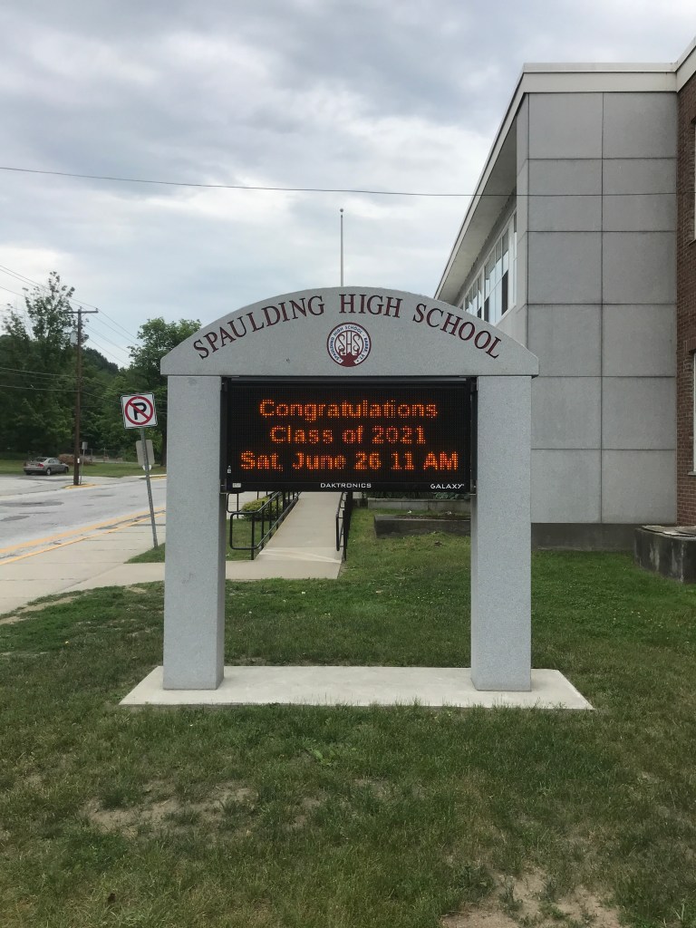
At the entrance to the town forest there was supposed to be a class 4 road connecting through to Gonyeau Road, but it wasn’t immediately apparent. After a little poking around we found it after heading out into a nearby field. It was clearly not ridden very often. There were a few trees down that needed to be hopped over, but it was still partially rideable. At the top it leveled out and we were at the top of our penultimate climb. There were a few views to the left (south) down into Barre’s valley. We took a left onto Middle Road and continued down. Soon we reached a four-way intersection and probably should have just continued straight: when planning these routes, sometimes I get “dirt fever” and try a bit too hard to maximize our time off of pavement. This was certainly one of those times. Instead of continuing down Windywood Road, we took a left onto Sunset Road. The name should have been a giveaway: there was a view to our backs and a hill ahead of us. We huffed it up the climb, passing a semi-official looking “Bailey International Airport” sign. Needless to say there wasn’t any suitable space for a plane to land in the vicinity. I did find one tiny strip in Panton called Bailey, so it may have been a stolen sign. Strange either way. At the top of the hill Cameron had to jet to get back to Burlington, so he motored onward down to the cars. We took it easy, especially because it truly was all down from there. I even had a kind grandmotherly woman warn me before a particularly steep portion of Sierra Lavin Road to “Take it slow, they just graded”. I warned her I’d be careful. We kept on riding, using basically only our fingers on the brakes. We eventually got back into Barre City and I had originally planned to divert into a cemetery to ride on some dirt within the city limits. Everyone seemed to want to get back, plus it wasn’t even the famous Hope Cemetery I mentioned before. So we pushed on down and I lucked into a patch of road on the corner of Perry and Hill Streets that was being worked on and consequently was dirt. So I got my dirt anyway! Taking the left towards the high school, we were surprised by the amount of traffic. Cars were way, way backed up. All of a sudden I put it together and it was confirmed by their sign: it was graduation! A little later than I am used to, but I was happy we parked right by the road. We got changed up and headed out, encountering pretty strong rain on the way home. I’m glad we didn’t ride any extra miles or we would have been soaked!

The Details:
https://www.strava.com/activities/5533200699
https://ayvri.com/scene/gdkz16el5z/ckqe2gyef00013h6il4gq4me0

3 thoughts on “Ride 19: Barre City, Barre Town, Williamstown, Washington & Orange”