Ride 17 had a little trouble coming to be. I had planned to do it last weekend, but sadly my bike was not in the best shape. My front derailleur was being finicky: unable to shift into the big ring. I tried nibbling around the edges of the problem, trying not to mess things up too badly. It’s similar to the time I bought a Rubik’s Cube and was intentionally messing it up but remembering how I did so, until I finally changed it to the point where I couldn’t remember the pattern and there was no going back. So I decided to call in the experts and made an appointment at Bootlegger Bikes where I’d bought the trusty Salsa. Resigned to the fact that I’d be paying someone to fix it anyway I dove back into the problem. With more self-confidence knowing I had professional back-up (plus some help from Calvin of Park Tool) I was able to actually get it working quite well! The outer limit is still a bit off, but totally serviceable. However, all this happened during my window in which I could have been riding, so I had to wait.
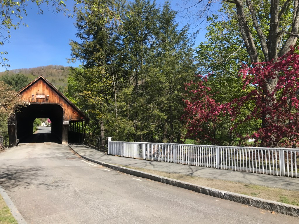
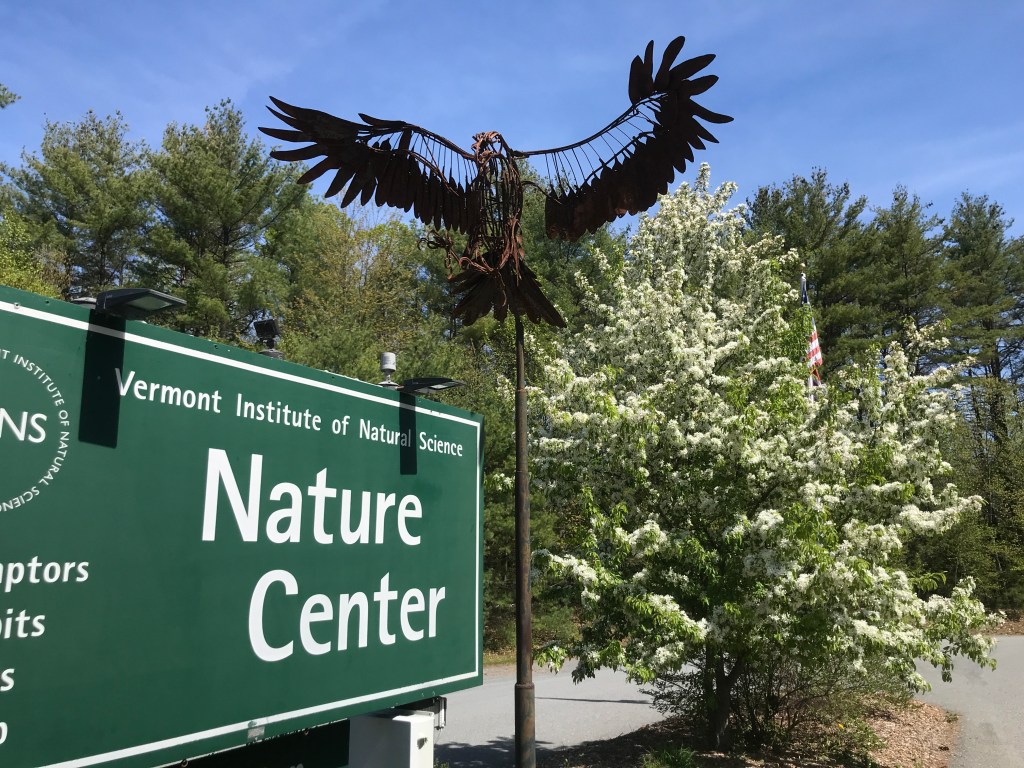
But boy am I glad I did. This weekend was picture perfect: high in the 70s with sporadic clouds and virtually no wind. On Saturday, I dropped Maddie off at Rescue for a 12-hour shift and headed south towards Woodstock. It was an easy drive and I even got to reminisce a bit when I stopped for sunscreen at the Barnard General Store where we’d stopped on my second ride of LAST year. Soon enough I was in historic Woodstock, searching for a place to park. Being the tourist magnet that it is, free parking is at a premium in the downtown. I eventually found some on Mountain Ave which amazingly not paved and is part of a small neighborhood made up of very fancy houses that abut a series of public parks overseen by various entities. I arrived simultaneously with a series of 50-plus-year-old folks who were setting up to do some sort of tai chi fitness class. I didn’t stick around long enough to find out, but headed out across the Middle Covered Bridge, the Village Green, the gorgeous Elm Street Bridge and north out of town. Just across the Ottauquechee river, lies the historic complex that was developed over the years by a series of Vermonters. The property grew through different iterations of owners to become Marsh-Billings-Rockefeller National Historic Park the only NPS property in Vermont (other than Vermont’s portion of the AT) when it was donated by the Rockefeller family in 1992. Unfortunately the gift of the property to the federal government stipulated that no bikes would be allowed on the carriage roads that crisscross the Mount Tom area. But despite this shortcoming, the Park and the adjacent Billings Farm and Museum are supposed to be a great place to visit. I’ve never been, but they must be alright, since they’re donating their space to local school kids to have in-person classes. I headed quickly by and up Cloudland Road, one of my favorite stretches of the day. The road consists of a corridor of ancient maples beyond which sits farmhouse after restored farmhouse. It also includes one of the most photographed farms in the state. Sleepy Hollow Farm is extremely photogenic (just google Vermont fall) and you’ll see it. It was also owned by Joe Perry of Aerosmith Fame (though it looks like it just sold for $2.2 million)! Up and up I went, eventually turning right onto some mellow Class 4 (AKA Class 3.5) road that would take me over towards Quechee.


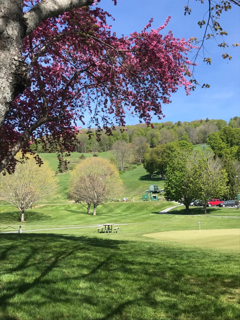
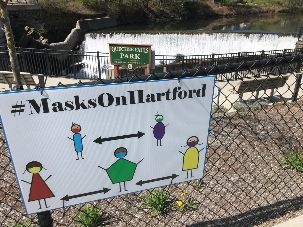
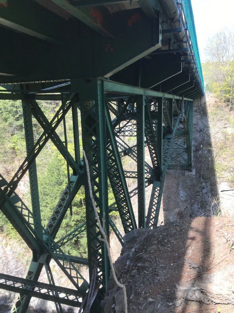
After the first of a series of Class 4’s today, I bombed down the very steep drop back to the Ottauquechee River. I arrived into the land of the Quechee Club. The main area of the resort was abuzz with pickleball, tennis, golf and there even seemed to be folks congregating around the base of the ski lift. (Yes, they have a small ski hill there with 508 feet of vertical drop!!!) I thought about trying to poach the small bridge and take the back way into town, but I thought better of it. I looped along the river coming into the picturesque village of Quechee. Hit hard by Irene, the village is one of five within the town of Hartford: Hartford, Quechee, West Hartford, White River Junction and Wilder. White River Junction is much bigger, but Quechee certainly has a huge draw with its compact buildings huddled along with river, with the Simon Pierce glass blowing, restaurant, etc. complex at the center. I stopped at Quechee Falls Park which is essentially the basement of a building that formerly stood on the site. I ate a few snacks and admired the view, including a sweet-looking rope swing that was hung up under the bridge. I then decided to call a small audible and head over to Quechee Gorge on Route 4. The Gorge has been called “Vermont’s Grand Canyon” but I’d never been and since it would only add a couple of miles I tacked it on. It didn’t disappoint. The view was spectacular and I was surprised at how old and impressive the bridge was. It also sadly is a draw for people looking to end their own lives. A safety fence was installed in 2018 further bolstering protection measures that include a call box linked directly to counseling services. I enjoyed the view, but kept moving trying not to think about the desperate folks who had been drawn to that spot.
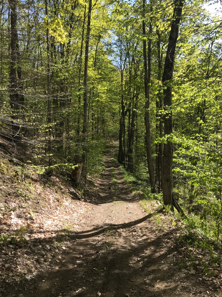
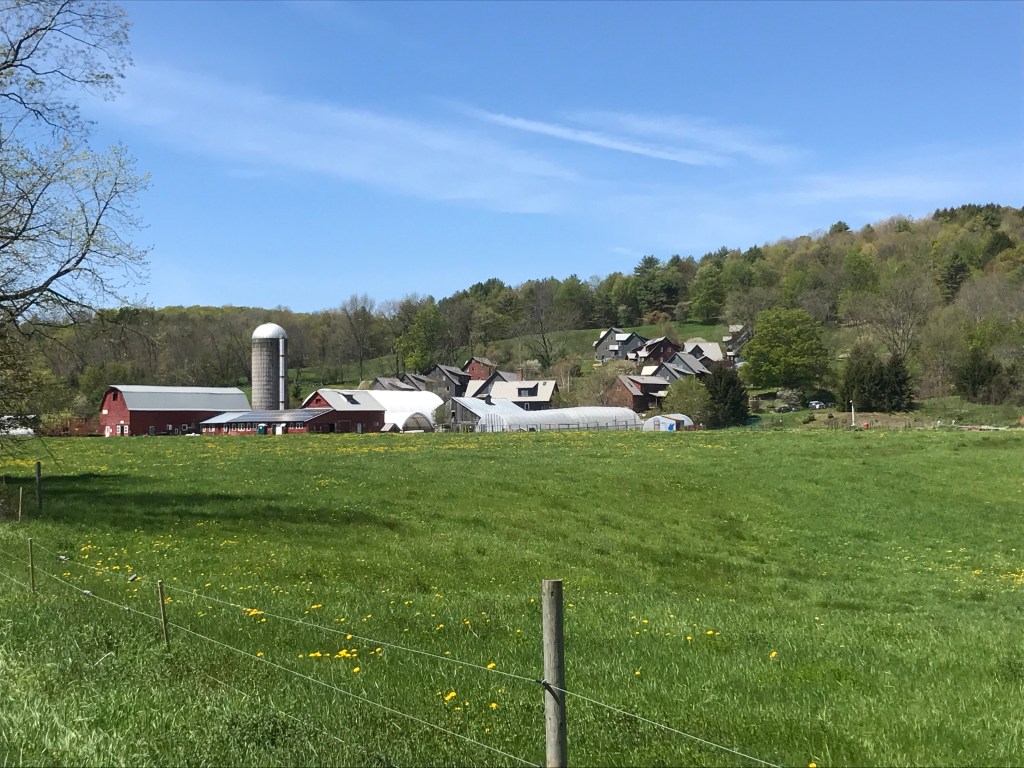
I backtracked then head south again, first on a more trafficked paved road, but I eventually took a right onto Draper Road and the quiet dirt lanes I was hoping for. Here began the first of a few saw blade-shaped elevation profiles of the ride. And while steep downs are fun, the ups get a bit taxing. But there were views and plenty of lovely houses to look at. This area seems to have so many nicer homes that have been built or fixed up. There were handful of “rougher” looking places, but I really got the impression that even on these back roads that in other towns may be had some homes where people appeared to be just eking it out, this part of Vermont is home to a much higher percentage of people who are doing significantly better than that. I eventually made my way across the Hartland town line and zipped past a massive complex of buildings that it turns out is a farm and co-housing venture. They are 23 households strong and the farm produces and sells their own cheese. It looks like a really neat community. Just south of there is Hartland Four Corners, a small village that seems to mainly be known for the Skunk Hollow Tavern.

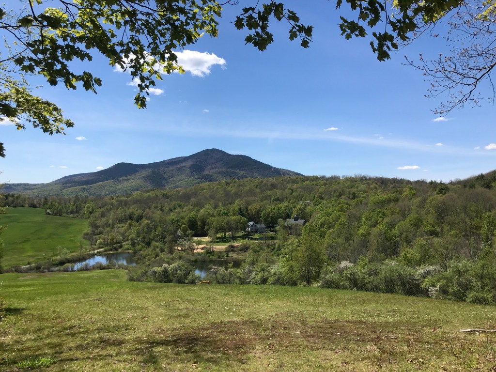
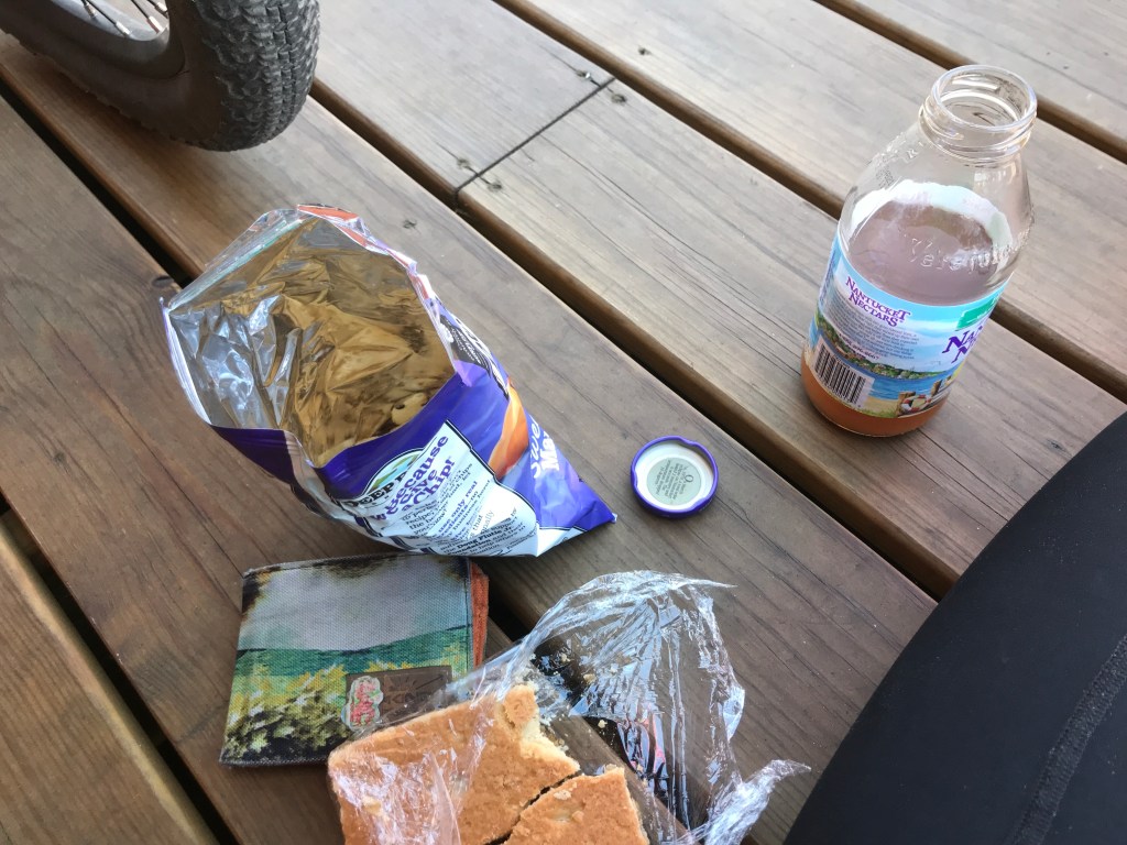
Heading south I entered Windsor which is known as the “Birthplace of Vermont” since it’s where the constitution of the Republic of Vermont was signed in 1777. Yes you read that right the REPUBLIC of Vermont. We were an independent state for 14 years until being admitted as the 14th US state. I continued onto the second “sawtooth” section of the day. The roads here had a similar feel to the earlier ones, continuing that fancy dirt road vibe. I passed into the Windsor Grasslands Wildlife Management Area. The area is quite new: only being transferred to the Fish and Wildlife Department in 2017. I read on a sign that turkeys were only reintroduced into Vermont in 1969! Quite the success story, no doubt helped along by WMAs like this one. I also glanced what appeared to be a massive fence topped by razor wire. As I continued down the road I saw a small complex consisting of a series of buildings as well as a couple of silos that were indeed surrounded by a security fence. The view continued to open up and what was clearly a prison was nestled into the small valley. It turns out the be the former home of the Southeast State Correctional Facility. The prison closed in 2017, but the state still owns the complex and might be putting offices in there, but it appears to just be mothballed at the moment. I pushed on south and west getting some spectacular views of Mount Ascutney to the south (see the first photo up top). The former downhill resort closed in 2010, but has since been revived as “Ascutney Outdoors” a four-season recreation and event space. The lower half of the mountain is still accessed by T-Bar and I’ve skinned up to the top of the old trails. It’s a really amazing model and I certainly need to get back with my mountain bike. I soon dropped into Brownsville, my stomach grumbling and trying not to think too much about the lunch I’d planned to eat. Having heard from friends not to miss it, I was ready to mow down on some of the amazing offerings of the Brownsville Butcher and Pantry. I mean look at this spread they provided for a race the weekend before. Unfortunately, I was heartbroken (and stomachbroken) to find a sign saying the kitchen was closed for a few days. So I had to settle for a house-baked raspberry bar, chips and a drink to keep me going. But I did my best to fill up and rest. I chatted with a guy who was charging his e-bike who told me he all about it: he calls it “Swiss Miss” because it’s brown, a Scott (which is a Swiss company…who knew!?), and a step through frame (aka a “girl’s bike”). Quite the character. I got back on the road still lamenting the lack of a good lunch. But I had more Class 4 coming up ahead of me to keep my mind occupied.


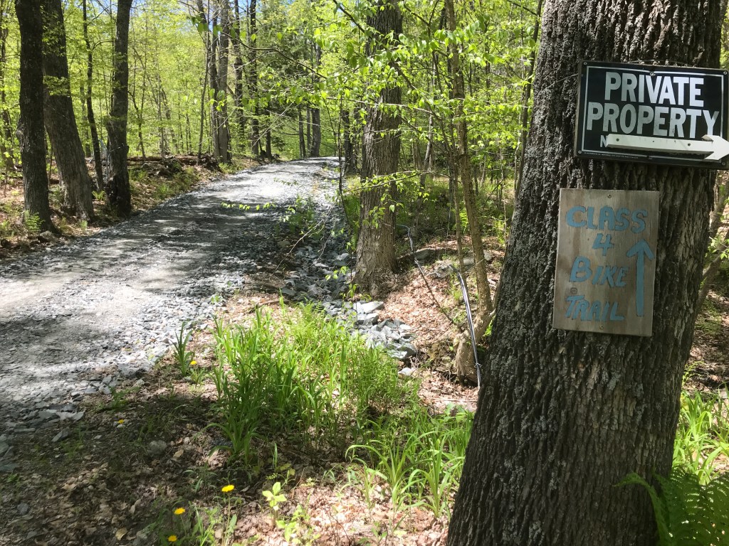
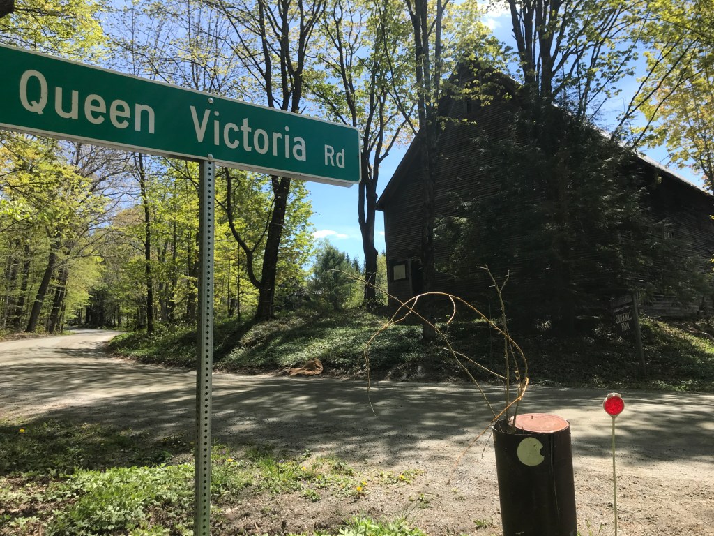
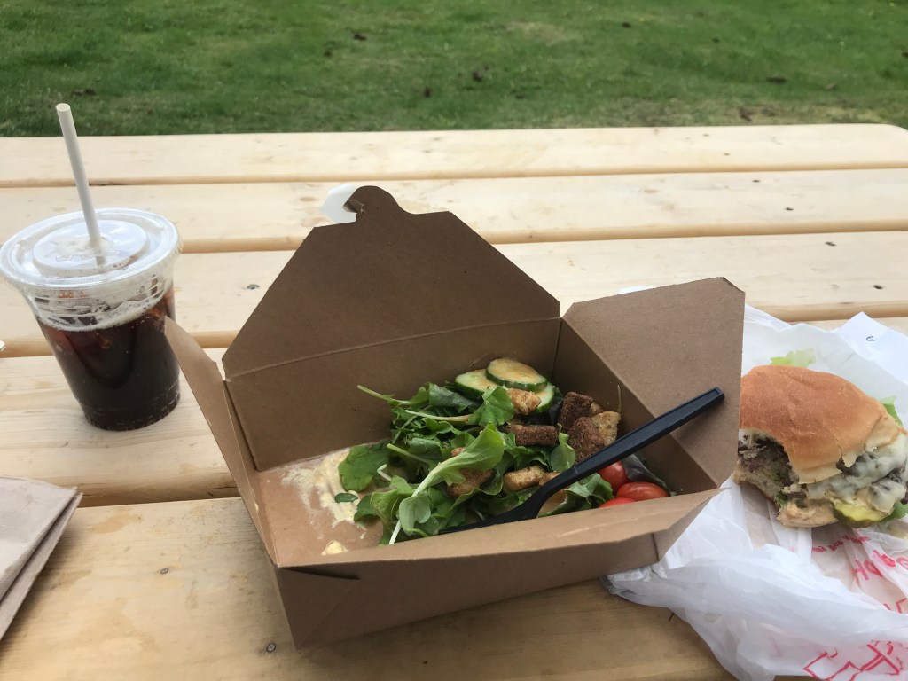
I began to curve north again and was soon on Rowe Hill Road which is a solid section of Class 4. Unfortunately I was climbing for most of it, but it was in good shape and not overly challenging. I then headed up Queen Victoria Road which is technically a class 3 and got some drainage work done recently so there it was very passable. Not quite sure why it’s named after the long reigning British monarch, but since she was on the throne from 1837 to 1901, there’s a solid chance the road was put during that time. Maybe someone was just a fan? Who knows. I then went through Jenneville which is a tiny hamlet of Hartland (it’s basically just a couple of houses and a cemetery). But there are lots of different roads and trails that all seem to converge there, so however it formed, it must have been the center of attention for some reason. I then hit up yet another stretch of Class 4 road, this one being by far the longest and best of the day. The Cady Brook Trail runs parallel to its namesake and has the most gorgeous little pockets and riffles of water. There are hemlock groves, mossy cliffs and the road surface is pretty much impeccable. I mean you could ride a road bike along some of it. The trails is part of an extensive system of over 400 miles over 117 square miles of bridle paths and other rights of way maintained by The Green Mountain Horse Association. Again I was climbing, but the grade was gentle enough that I wasn’t struggling and could really enjoy the scenery. I was disappointed to get to a gate and back onto a road by the end. At the trailhead someone had installed a pretty ingenious cement trough that caught stream water for the horses. From there I dropped down into South Woodstock and made a beeline for the “Country Store“, but as fate would have it I missed their sandwich counter by 20 minutes. More than a little despondent, I bought a lemonade, pounded it and pushed on. Quick side note: the Country store has one of my favorite Google Street View shots of all time. I mean what where those kids doing? Where are their shirts and shoes? How are the taller kid’s shorts only wet on one leg? And how psyched were they to see the Google car? Anyway, I went up the steep Randall Road to a quick little hike-a-bike/Class 4 section then north and down all the way back into Woodstock. At this point I was ravenous, so I changed as fast as I could and headed straight to Worthy Kitchen and bought a take out burger, and inhaled it. I certainly need to do a bit better in my food back-up planning as well as hydration, but overall it was a fantastic ride on a perfect day!


The Details:
https://www.strava.com/activities/5302890504
https://ayvri.com/scene/gdkz16el5z/ckoqa77lk00013h6itbpkhuts

2 thoughts on “Ride 17: Woodstock, Pomfret, Hartford, Hartland, Windsor & West Windsor”