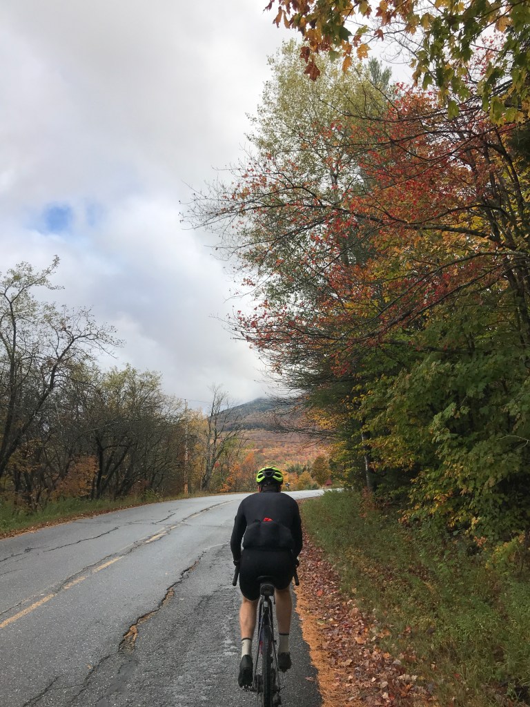
After making the major push to tick off 10 towns on the last ride, taking the time to go for quality, not quantity sounded like a perfect plan. Brad and Dan had already decided to do this ride and I couldn’t resist a perfectly curated route in some of the finest gravel riding territory in the state. So, along with Dan’s friend Rafaela we planned to ride a route based roughly on the Vermont Forest Fondo event that Brad had ridden last year.
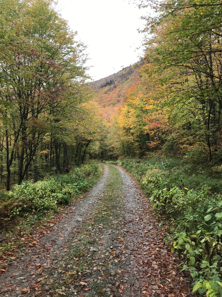
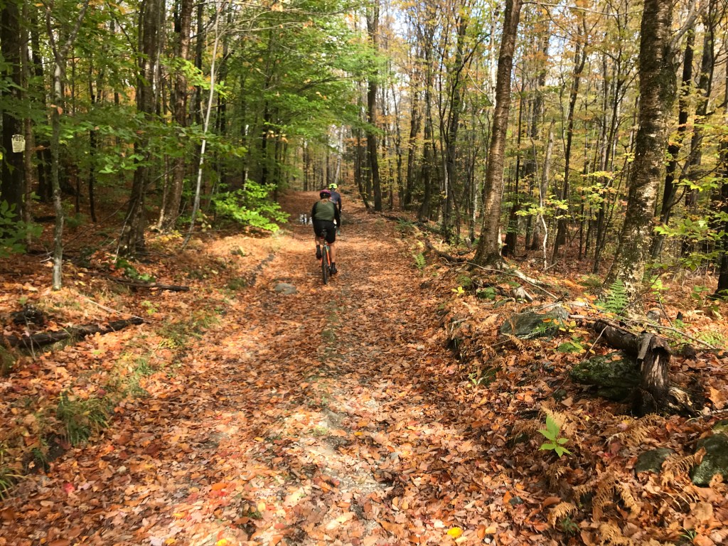
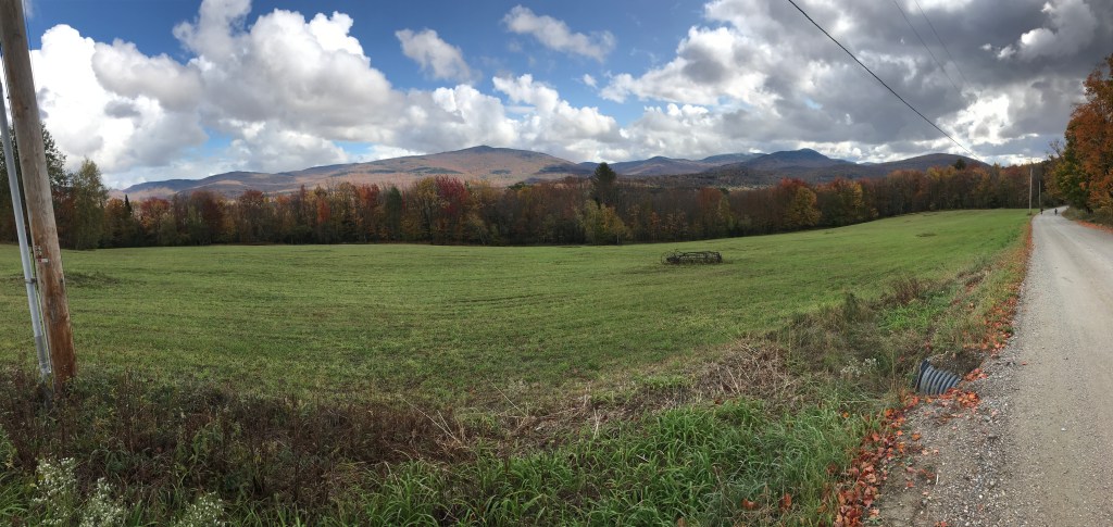
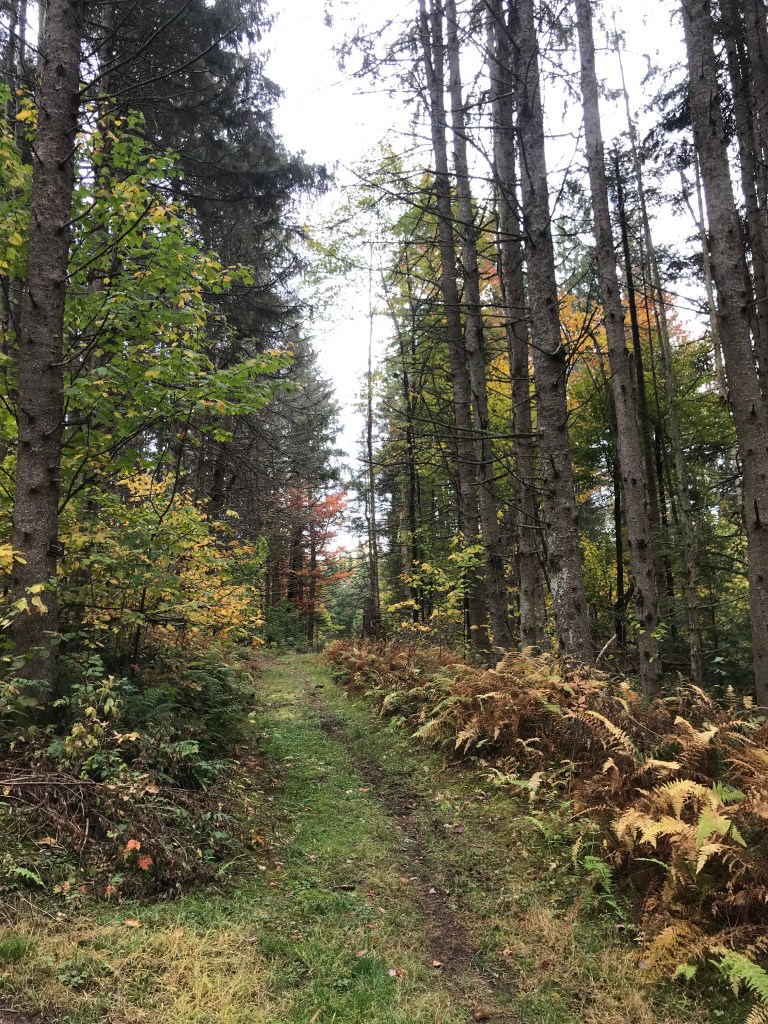
We began just north of Lincoln Village heading south past the Lincoln General Store and the Lincoln Community School to begin the climb up Lincoln Gap Road. It was overcast with low clouds and fog, but rumor had it things would burn off by midday. Dan pointed out how funny it is that “burning off” is a phrase. It sounds much more exciting and dramatic than the actual process of changing dew points and evaporation. Anyway, we climbed up towards Geary Road with some obstructed views up towards Mount Abraham (aka Mount Abe). Traversing across Geary, we had some smooth dirt and bright yellow foliage. Eventually we reached the biggest sustained push to the high point of the day: French Settlement Road. I don’t know the precise history of “Settlement” roads in the state, but there are a number, and I can only assume this was an area where French Canadian (or maybe plain old French?) folks first congregated and lived in town. Nowadays, there are a few houses on the way up, but the road eventually devolves into Class IV, being traversed mainly by ATVs, hikers, bikers and the occasional hunter, one of whom we saw by his camp at the top of the climb. After the camp, the path continued to narrow, becoming only a trail for a few hundred yards before widening out again on what I believe were National Forest Roads. The Green Mountain National Forest spans a great deal of the southern spine of the green mountains and we’re in its northern reaches here. In fact we were in the Breadloaf Wilderness Area and also sharing trail with the Catamount Trail, Vermont’s long distance skiing trail. After Dan pulled off a great decent of a gully, were were back on full fledged access roads, ready to wind back north onto Lincoln Gap Road.
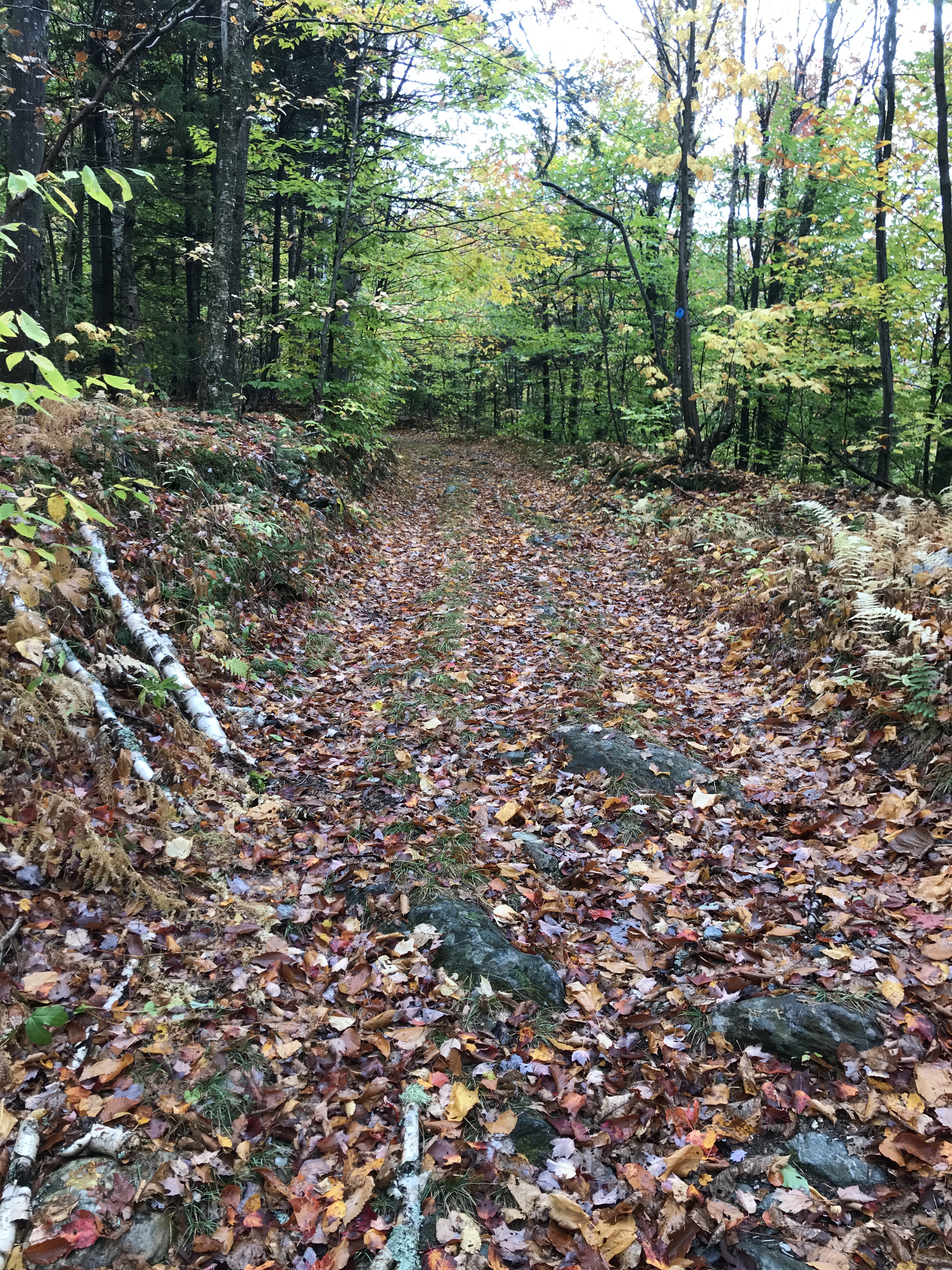
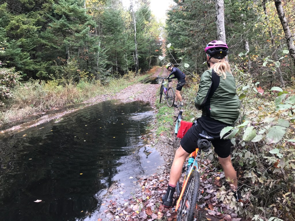
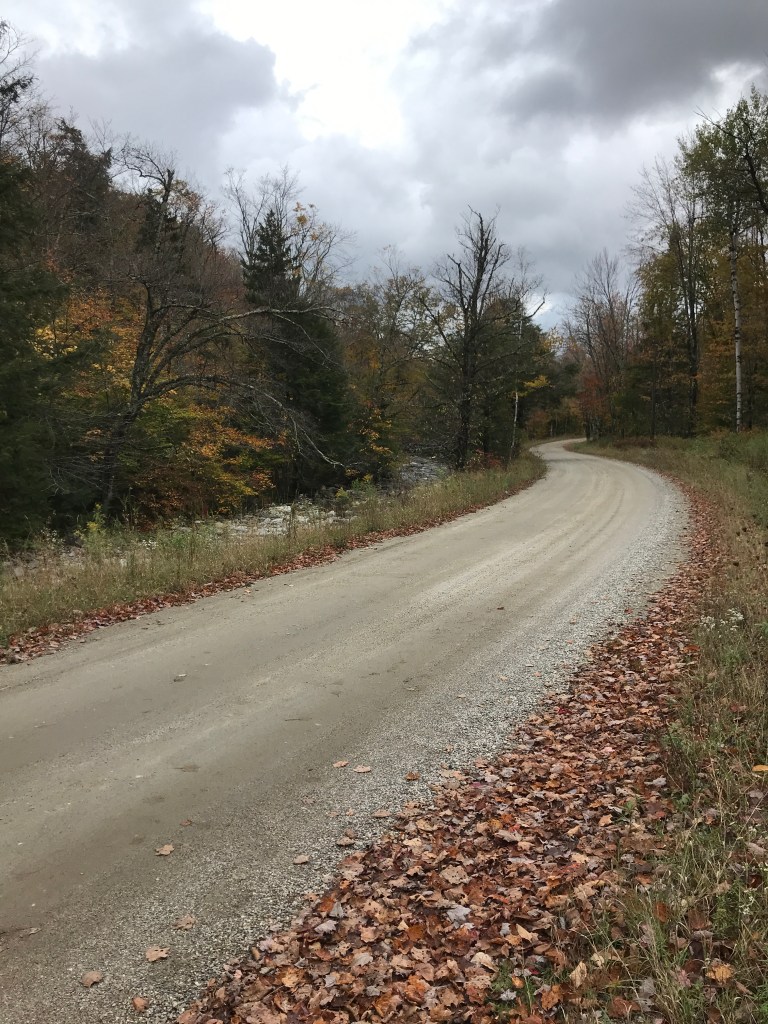
Slightly different surfaces on Geary Road and French Settlement’s Class IV.

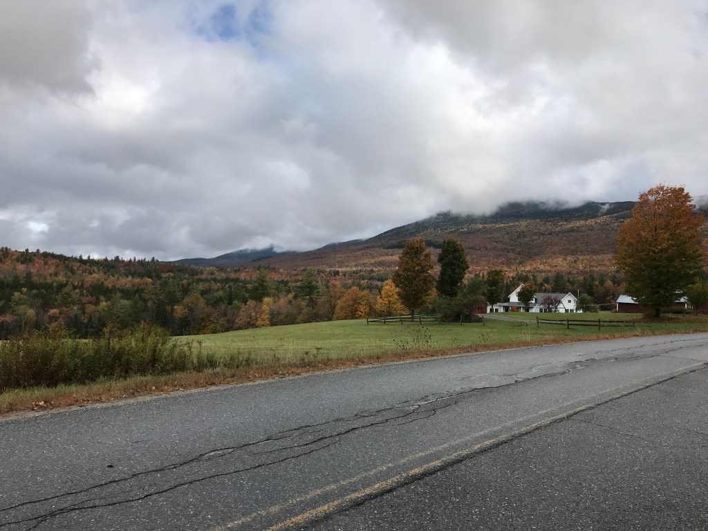
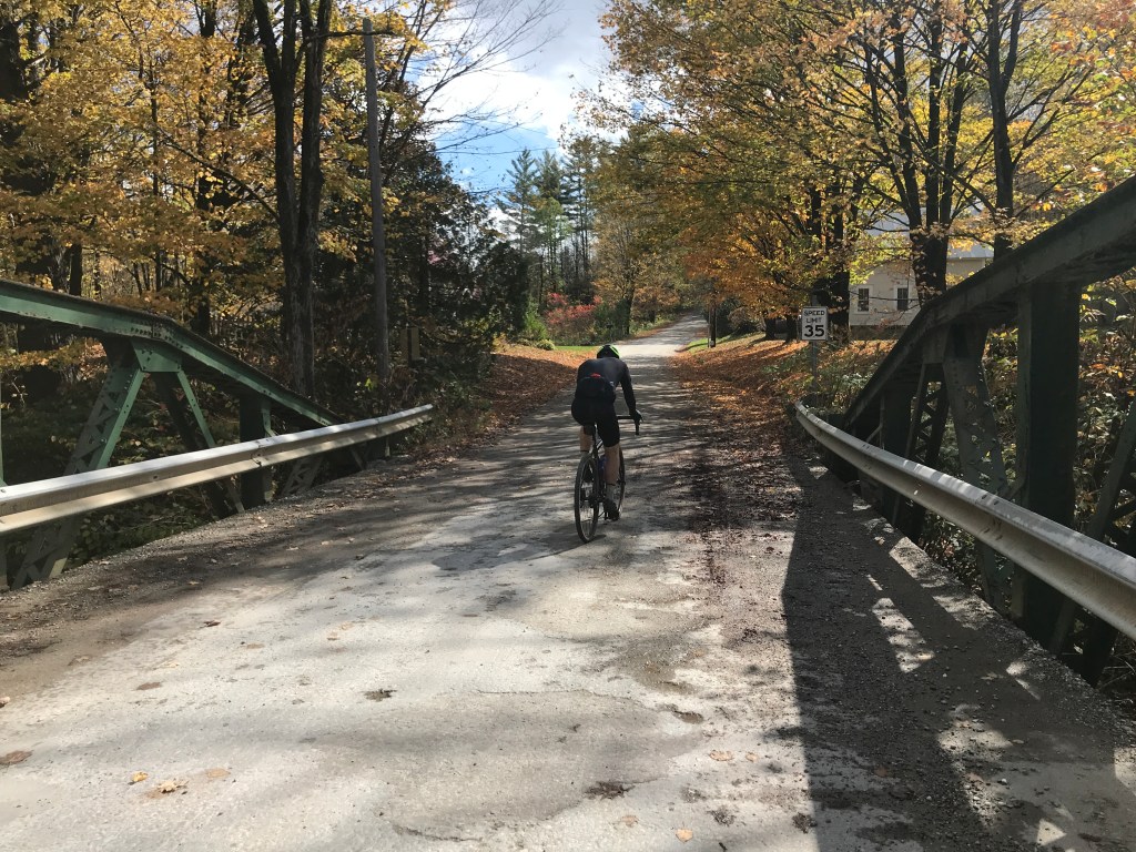
The section of Lincoln Gap we reached is an unpaved portion. For much of its upper reaches (including its “Steepest Paved Mile in the US” section on the Warren side) the road is closed in the winter. Folks even sled down it! Though one day I’ll bike over the top, today was not the day. So after a quick hello to some hikers and their pup, we zoomed down the hill, but only as far as some more gorgeous Forest Service roads. From here we continued to head north: passing sugar lines and some really well maintained, remote-ish roads. After a steep drop down onto James Road, Rafaela had to swing back to Dan’s place but we’d meet up soon after. The route would curve back south before long. So while she headed west, Dan, Brad and I took the Class IV route over Robinson Road. The first part is pretty solid thanks to some of the bedrock that peeks through, but the second portion must be the real reason the road was abandoned: it’s very flat and VERY wet. We made it around most of the huge puddles, though Brad did make the classic mistake of looking where he didn’t want to go…and going there. He ended up getting a tiny bit wet, but it was seriously one of the most athletic things I’d see all day. It could have been much worse. A quick dunk on one shoe and that’s about it. After getting out to Downingsville Road, we passed on including Purinton Road’s closed section (I’ll come back for you later) and continued to meet up with Rafa. On the road I saw a high number of cars and trucks loaded down with barrels and bins. Putting that together with the fact that it was a Saturday morning, I figured the dump must be nearby. And sure enough I was right! The pavement was fast as we pushed back south to continue into the even more remote parts of Lincoln and, eventually Ripton.
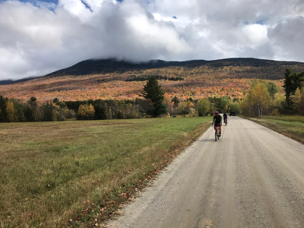

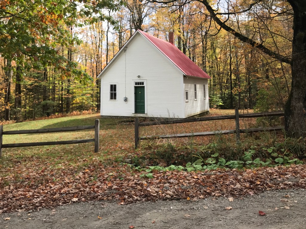
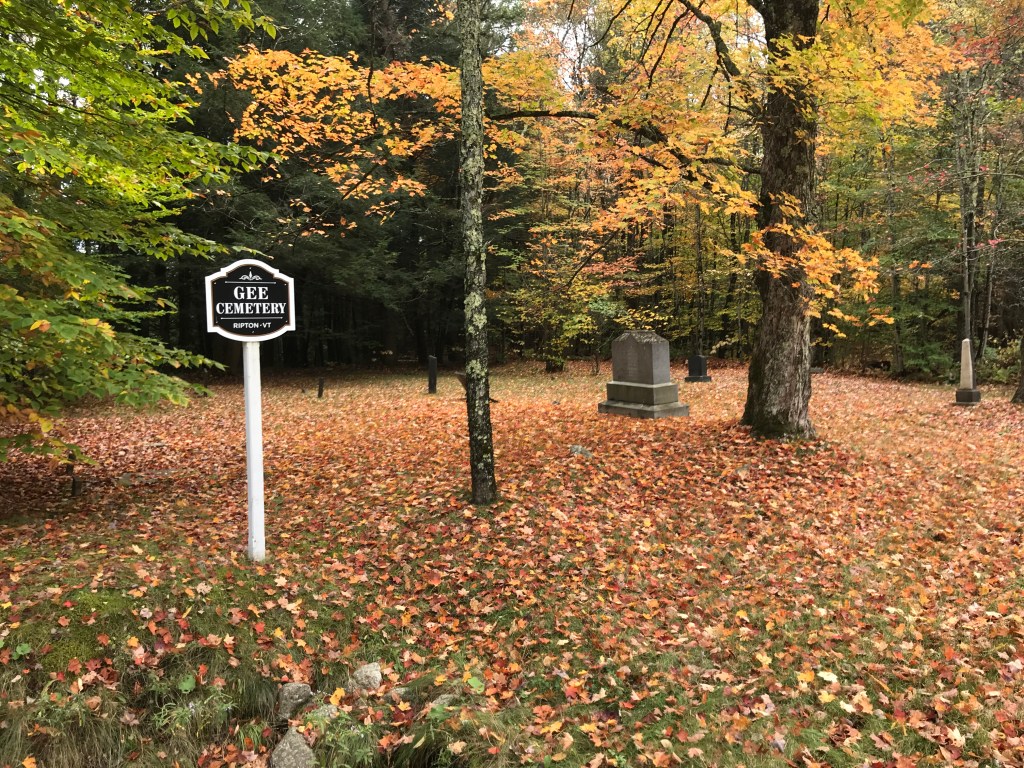
We continued to drop down towards the New Haven River, only to begin a long climb up York Hill Road. Though it was a bit steep, it afforded great views to to east. The houses thinned out and the roads were immaculate. We all couldn’t help discussing how lucky we are to live here and have this right out our back doors. We again approached a Class IV road (this time Green Road) which may meant we reached a new record for number of unmaintained road sections on one of these rides. And there were more yet to come! As we continued south, the houses were slowly even more sporadic near the Ripton town line. Lincoln is a small town, but Ripton truly feels like a hinterland settlement (thanks to Tyringham MA for that turn of phrase). There’s not a ton there, in terms of “downtown” but they are famous for a few things: the oldest writer’s conference in America, a world-famous author and activist, the author of America’s favorite poem to misinterpret, an independent school with a cool story, oh and a very beloved, needed and photogenic general store. We passed hunting camps with skulls, one room schoolhouses and very old cemeteries going through Ripton. Though there were some amazing views, this section was mostly about marveling at the bountiful dirt roads that just didn’t seem to stop.
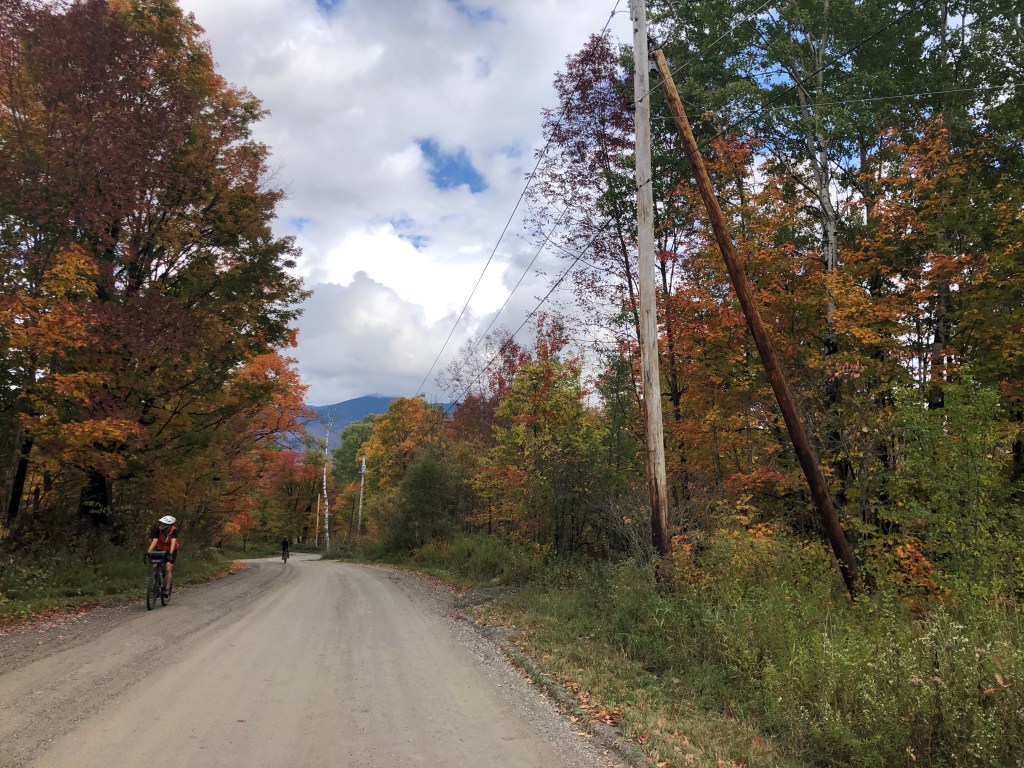

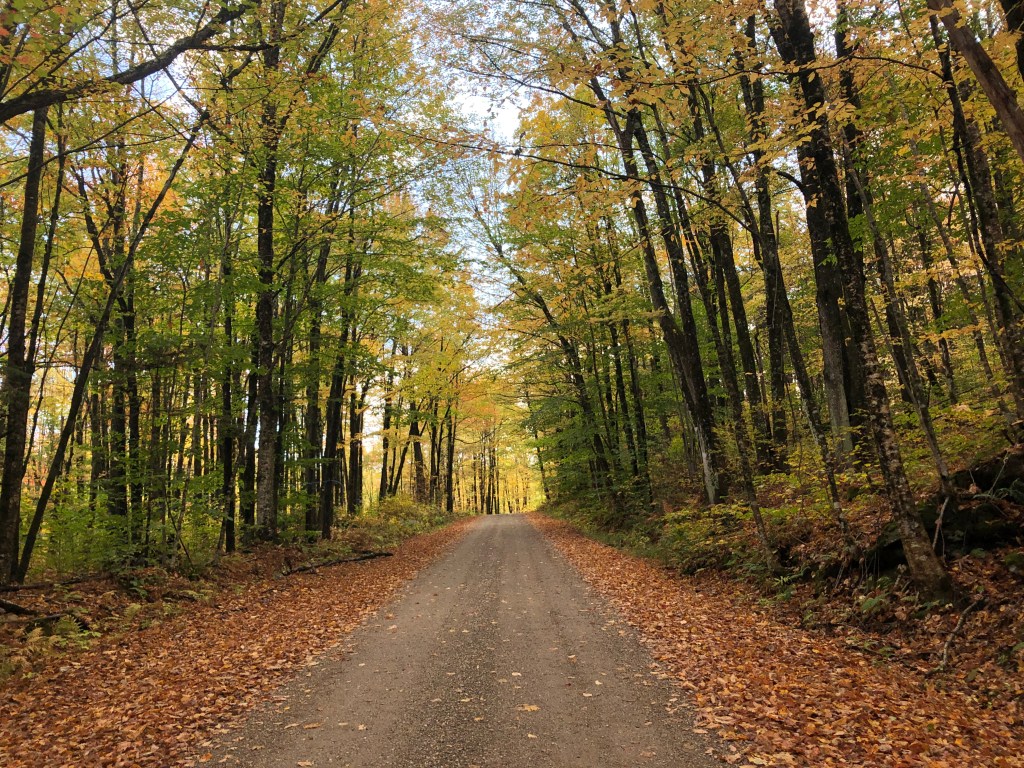
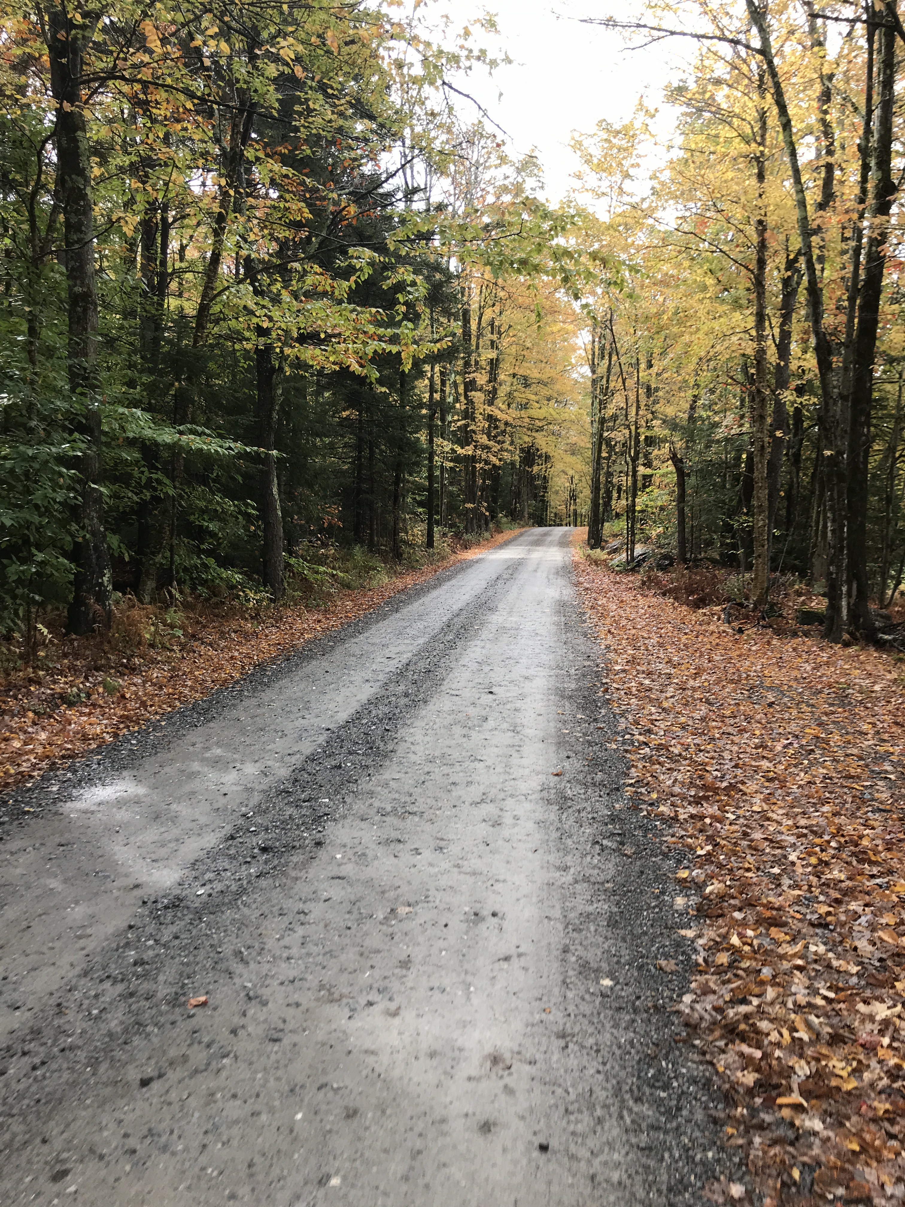
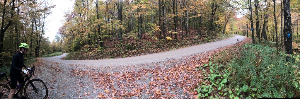
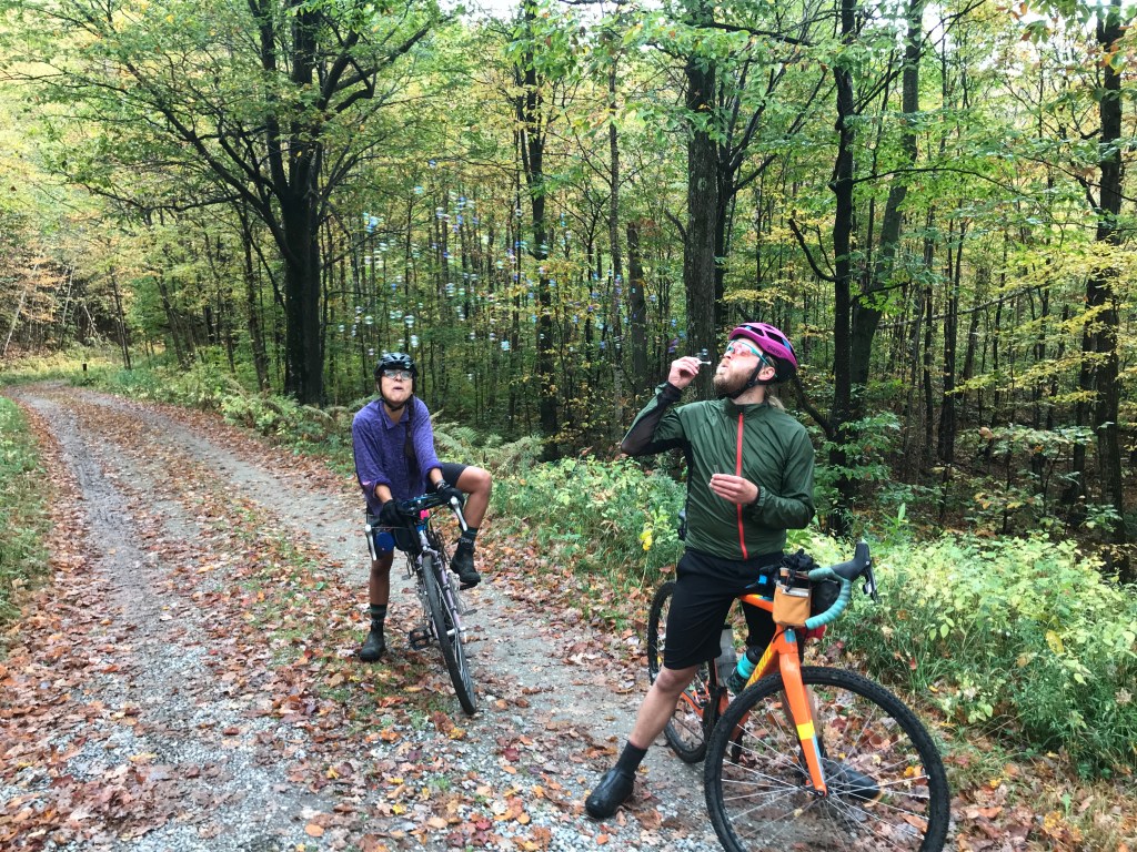
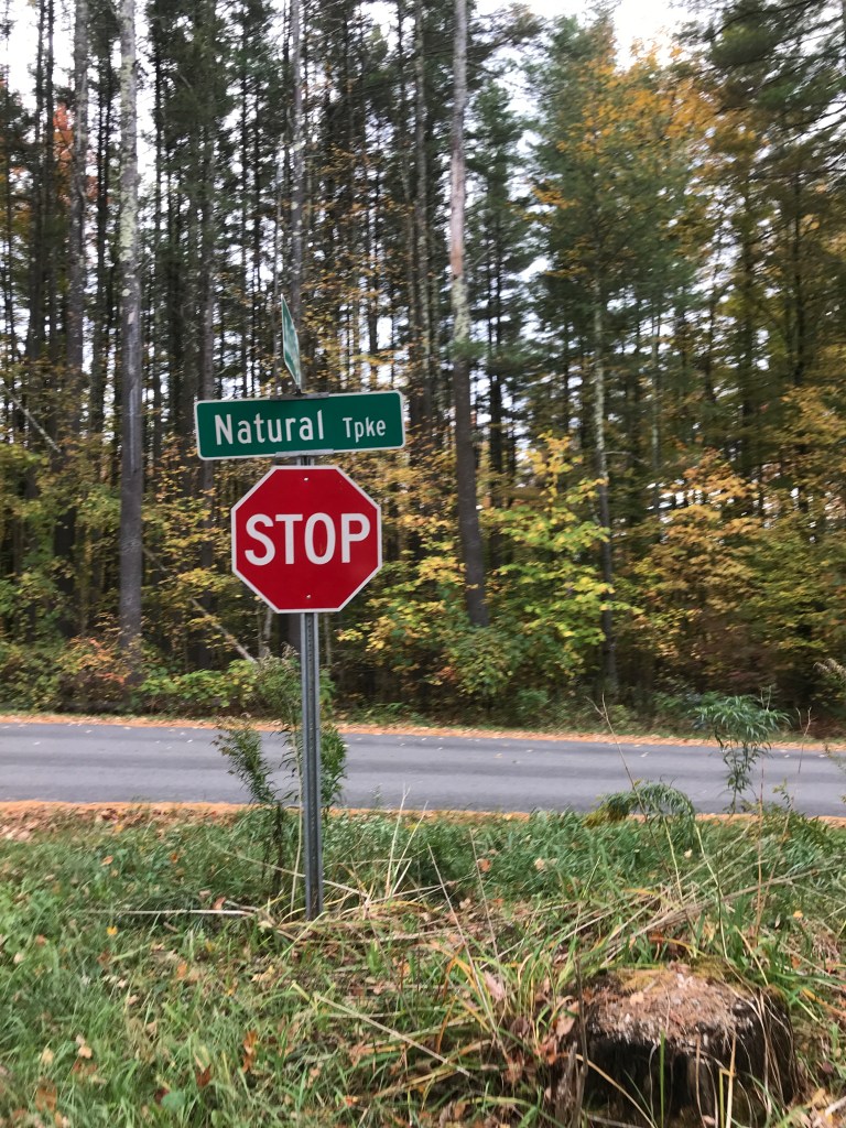
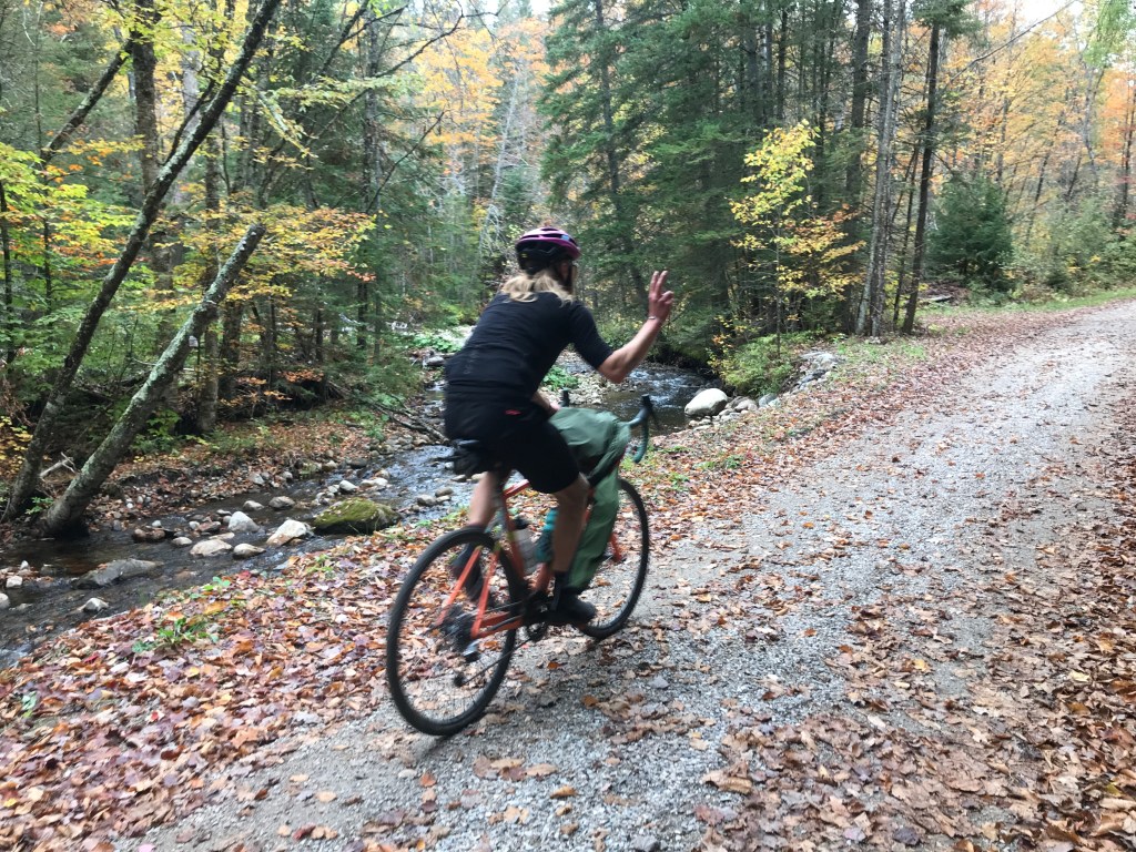
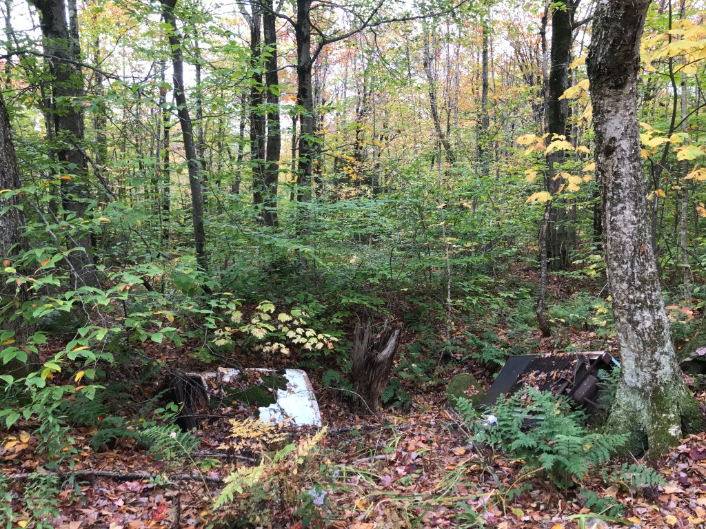
As we got closer to Route 125 (the main way folks get in and out of Ripton) we jumped onto what is called the Natural Turnpike. This is a major thoroughfare of a different sort: it runs back north through some even more remote stretches of town than those we just came through. Carrying cars, bikers, and even snowmobiles, it’s one of the state’s gravel crown jewels. We’d ride the majority of it, but we jumped off this beginning part (paved…ewwwww) to sneak in one more stretch of Class IV. We bombed down Peddler Bridge Road to Wagon Wheel Road. Wagon Wheel is marked as a dead end and the easily drivable portion does stop at the back side of the Rikert Nordic Center. We had come again to the Catamount Trail and the skiing which is so plentiful around here. The woods here were again so beautiful and we enjoyed the sights of popping foliage, even enjoying the scenery of two abandoned fridges we found just off the trail. We eventually popped out onto the dirt of Stream Mill Road and sadly Brad had to boogie home, so he pushed on ahead while Dan, Rafa and I took our time. Amazingly enough, the mother of Cameron (from ride 11) happened to be driving by in one of the very few cars we saw and also happened to recognize Dan and stopped! It was so nice to meet her and so funny to see her on a ride in such a remote place. We rejoined the Natural Turnpike: by this time all glorious dirt. We had basically one last climb before a really fun drop back into Lincoln. At one point going down we were passed by some more off-road looking motorcycles and I had fun imagining I could out-pace them. It was silly and futile, but still enjoyed the make-believe. We passed the base of French Settlement road again, then took a more direct route into town, powering up the last hill to the finish line.
The Details:
https://www.strava.com/activities/4147119305
https://ayvri.com/scene/gdkz16el5z/ckfugdsg500013h6891o9n583

One thought on “Ride 12: Lincoln & Ripton”