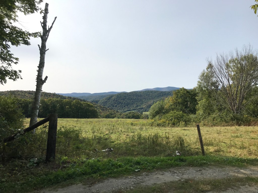
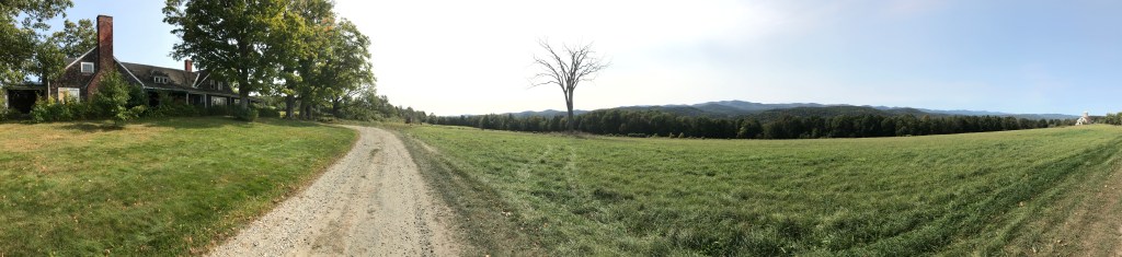
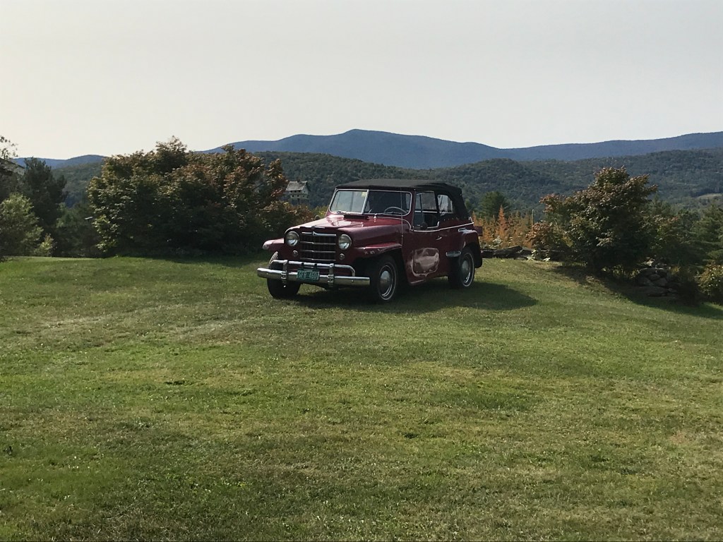
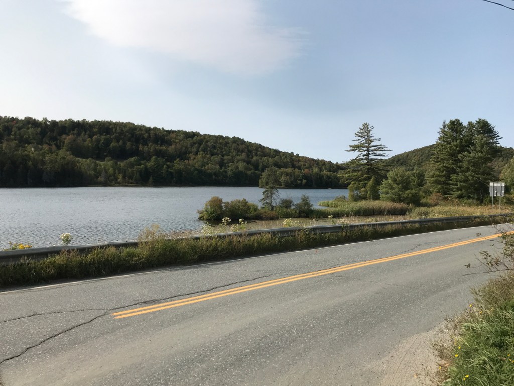
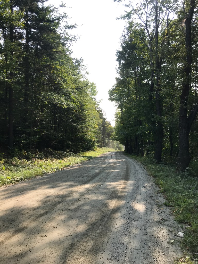
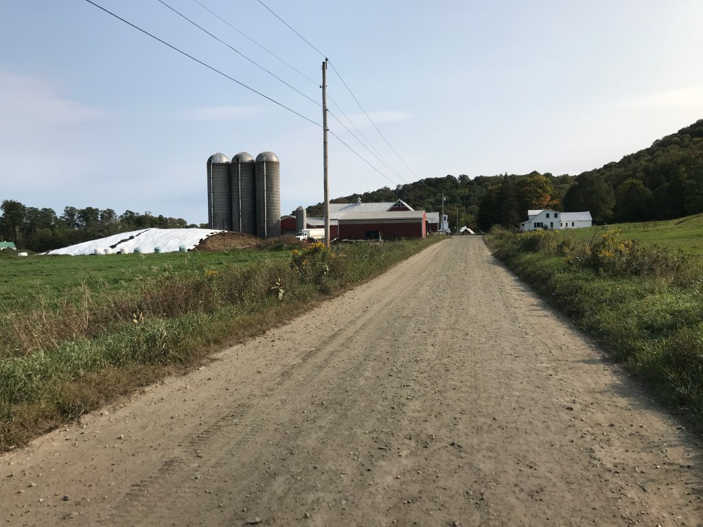
I had spied a good day on the weather calendar the other weekend, and I got it into my head that I wanted to do a 251 ride on that day, so I took off a few hours on a Wednesday afternoon and made it happen. Consequently, it needed to be relatively short and relatively close and this route I’d worked up fit the bill. It began in Bethel, what I like the call the town that’s equally inconvenient for everyone in the state. For work, I sometimes have to plan trainings and meetings for statewide partners, and though it’s not close to a population center, it’s fairly equidistant for people, no matter what corner of Vermont they’re coming from. So I know the town somewhat, but mainly the amazing co-working/community space and and its downtown. I was excited to get onto the back roads. After finding a small shoulder to pull onto, I parked a little northeast of downtown and began. Sanders Road began as a bit of a slog, but it mellowed out and by the time I got to Town Highway 15, it was one of those pleasant uphills where you barely notice it. Soon enough, the benefits of being up on that ridge began to show themselves and I got the first glimpse of the westward view. It’s a view I’d seen variations on from Interstate 89, but this one felt much better (certainly queiter). Gaining the ridge also meant a little section of Class IV. It wasn’t very technical, but you can tell it stays pretty wet along there. Even with our dry summer, there were deep standing puddles, and where there wasn’t water, there were still very deep, crusted-over ruts. After the mile or so of unmaintained road, I popped out to see an even broader, full 180-degree view of the valley below and ridges beyond. There was a gorgeous, but abandoned house at the end of Fish Hill Road and the view swept over to a white barn and silo looking north towards Randolph. I paused to drink it in, but also knew I had some more time to savor those sights: the road ahead served up some rollers and more views. At one point, I needed to turn around to take a photo of an old burgundy convertible. I have no idea the make or model, but it certainly was an eye-catching machine. Soon enough I was down to Route 66. No, not THAT one, Vermont-66, the main artery you typically travel from 89 into Randolph. The humor of the shared name isn’t lost on locals though.

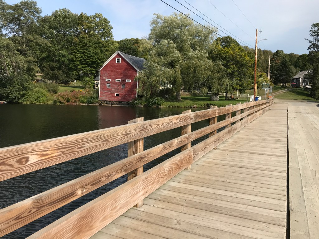
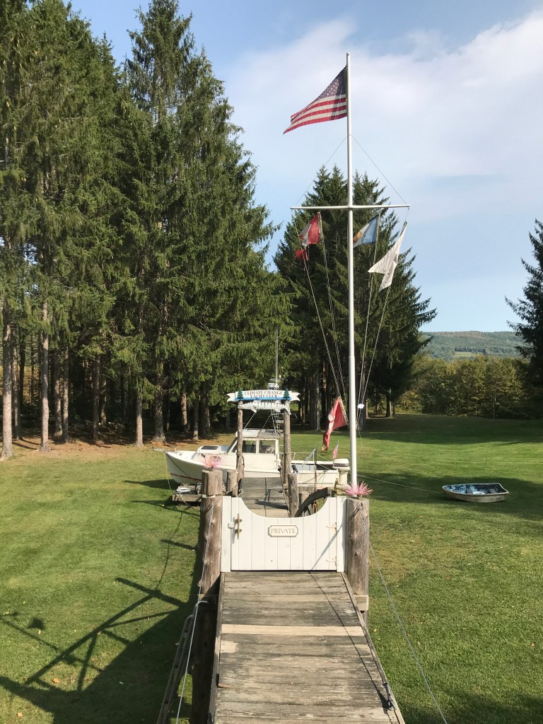
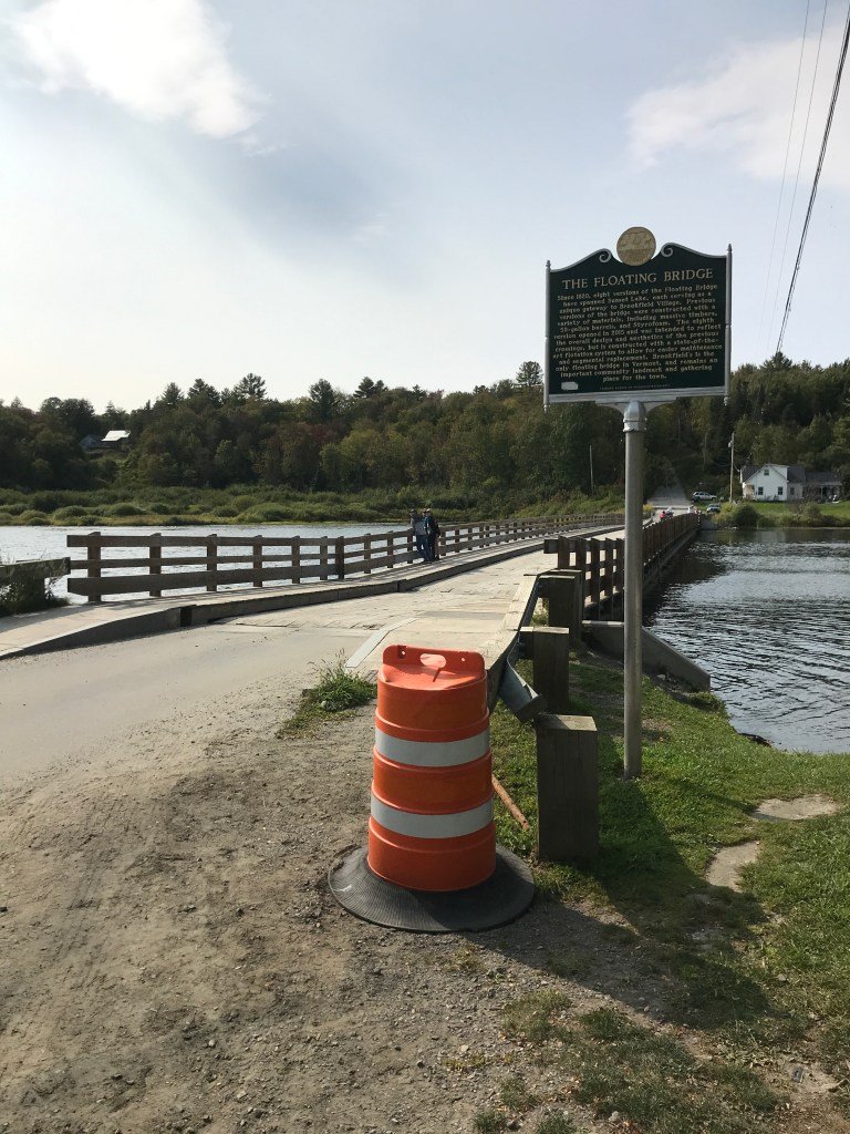
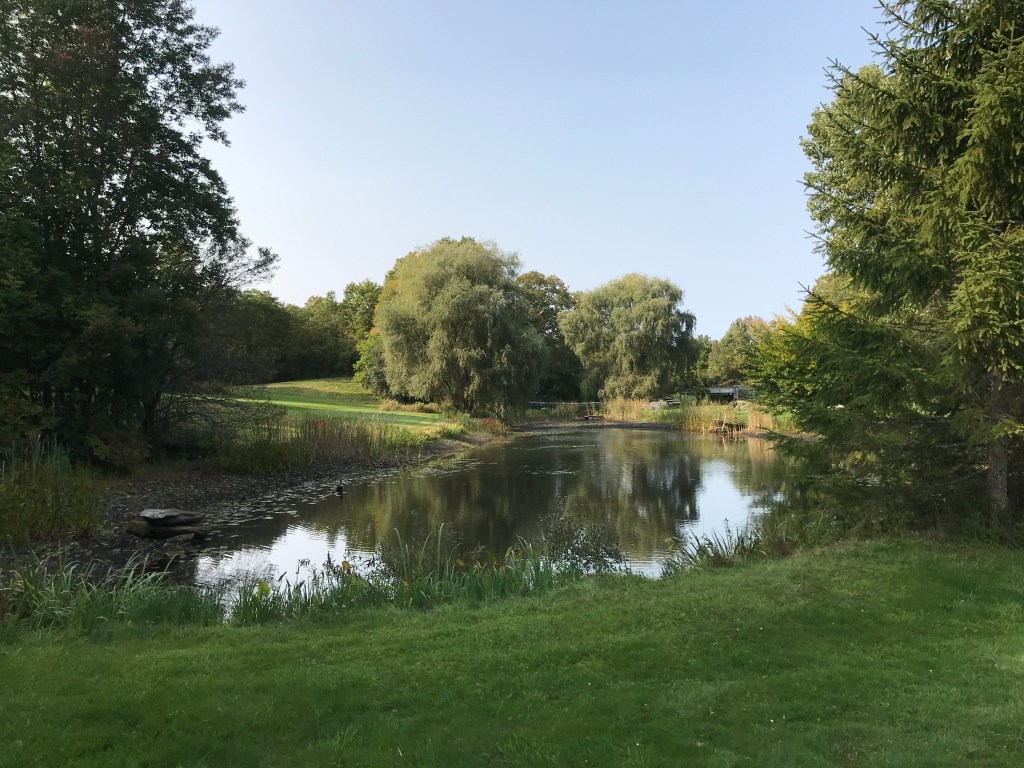
After the traverse down to 66, I needed to head up again to gain the ridge and get over to Brookfield. I took Herbard Hill Road back up and enjoyed more (though slightly obstructed) westerly views. At the top, I crossed over I-89 which runs along the ridge in this part of the state, and I saw some confusing graffiti: “Bacon for Trump”. My guess is it’s a dig at police blindly supporting Trump, but its message wasn’t exactly clear. I had time to ponder it, though as I continued north on the eastern side of the ridge, trending down but with some more climbs. I passed the Brookfield Elementary school and there were busses outside: a nice reminder that schools are providing some semblance of “normal” during these times and also that I was out riding during the workday, which I took subversive pleasure in. Speaking of subversive roadside messages, I next saw a funny instillation in the yard of a home. It was a wooden dock leading down away from the road with pilings and all the normal accoutrements, but instead of being over water, it was in grass. And not only that there was a flagpole and a small fishing boat beached at the bottom. Intrigued, I had to pull off to investigate. It turns out it’s the “Climate Change Yacht Club – Parati Erimus [We will be ready] – Elevation 1350”. This tongue-in-cheek statement really made me chuckle, but also was a bit of a wet blanket over an activity that otherwise helps distract me from all the craziness going on today. Shaking off the reality-check, I continued down into Brookfield. The town of Brookfield is most famous for its floating bridge. It’s kind of the centerpiece of the town and a focus of many community events. It was developed due to Sunset Lake’s depth making driving pilings impossible. Beginning in about 1820 as a set of floating logs, the bridge now in its 8th iteration, after having been most recently rebuilt by VTRANS. It was a lot of fun to see, though not as bouncy as I’d hoped!

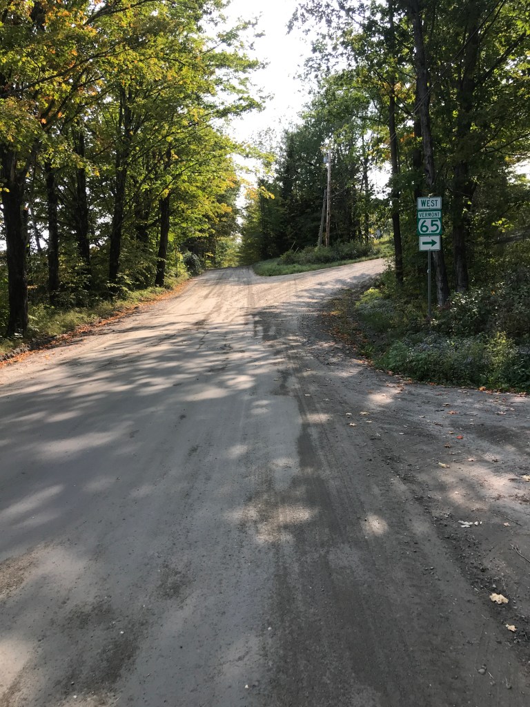
As you can see from the picture above, the road after the bridge jumps right back up. A solid punch to head back over 89. Interestingly enough, it’s dirt, but it’s also a numbered state highway (VT-65). There aren’t too many roads like this in the state, though I did already ride one during this project: VT-58 in Montgomery. I climbed up by the entrance for Allis State Park, one of those parks I’ve never really heard of. I get the impression it’s kind of a sleepy one, but it has a fire tower, so maybe we’ll make a visit some day! I zipped down the somewhat loose dirt of Route 65, popping back onto pavement on Route 12. I was soon to face-to-face with my steepest and last serious climb of the day up Steele Hill Road. I’d psyched myself up for it and while it did require getting out of the saddle a few times, it wasn’t painfully long. Luckily the down was lengthy and I cruised and cruised. So far in fact, that I ended up missing my intended turn onto Davis Acre Road, ending up back on Route 12. Despite the mix-up I still got to enjoy the sights of East Braintree and even got some bonus climbing in…ugh.
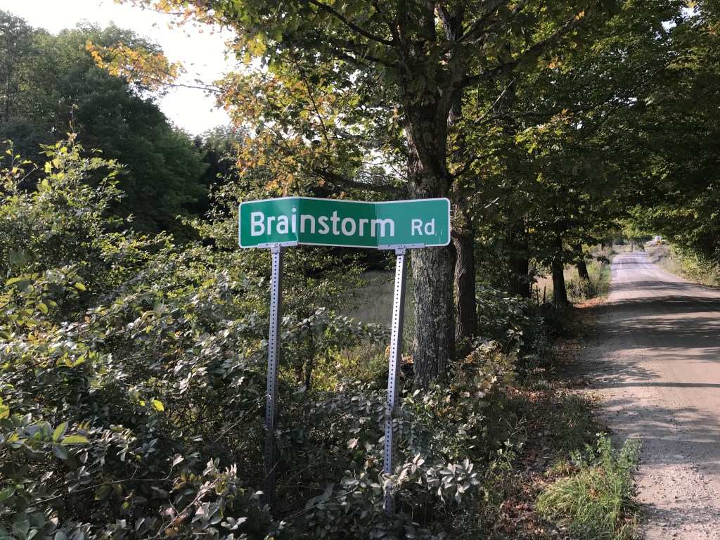
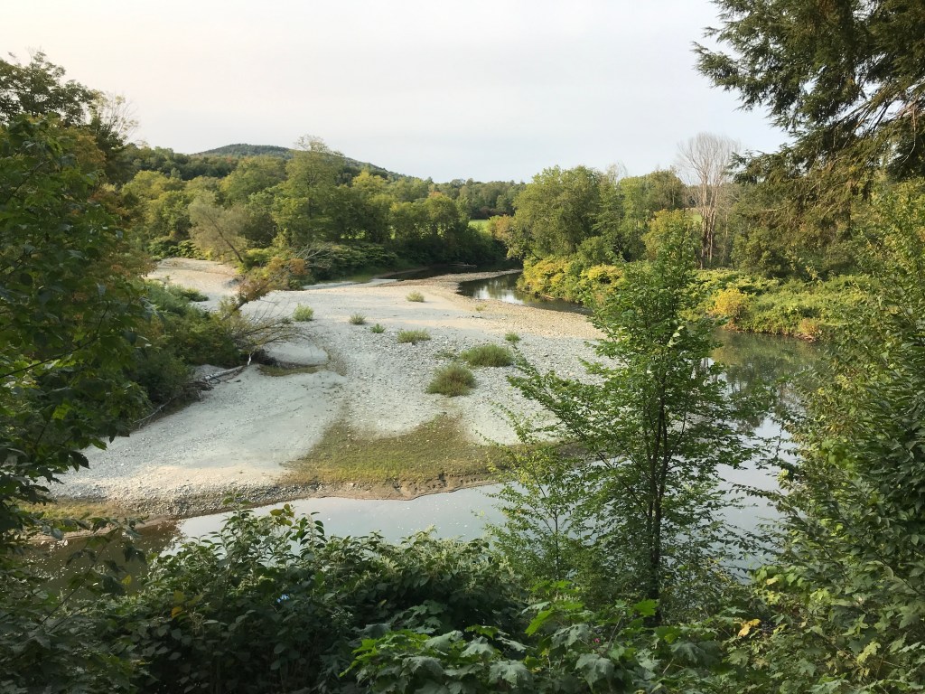
At this point, I had a little more to before skirting Randolph, but what a little bit it was! There were some gorgeous houses along this stretch, some old homesteads, complete with dug ponds and some newer builds that were real good looking as well. One of my favorite parts was Brainstorm Road. Normally I try to find the background on some of these, but the internet would not divulge the story behind that one. Maybe one of you knows. Anyway, soon enough I was back on 12 (again) and this time headed south to jump back across Route 66 and cruise along the Third Branch of the White River. The White River watershed is an enormous area (715 square miles) and is the largest free flowing river in the state. It’s running particularly low this year because of the drought, but it was still a nice companion to have on the ride. There have certainly been times when it wasn’t so well behaved and placid, as I saw when I neared the end of my ride. Right near the Findley Bridge (a wood-decked iron truss bridge) is a railroad overpass that has the high water marks painted on it from to flooding events in 1998 and 2011’s Irene. Bethel was hit especially hard during Irene but they are steadily recovering. After one last steep push to the car, I was done, ready to head back north and to take on another day of work the following morning.


The Details:
https://www.strava.com/activities/4070304032
https://ayvri.com/scene/gdkz16el5z/ckf5zm84u00013h68tc2f5ody
