With the summer quickly fading away, I decided to make my first visit out of state since the winter. Some of my family was gathering in the Berkshires where I grew up. So I got tested and headed south, but on the way, figured I may as well do another 251 ride, so took a pitstop in Brattleboro. My Salsa was still in the shop, so this was another time for the Jamis to shine. More dirt this time, but no Class IV so it would be rougher, but doable
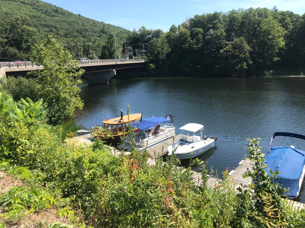
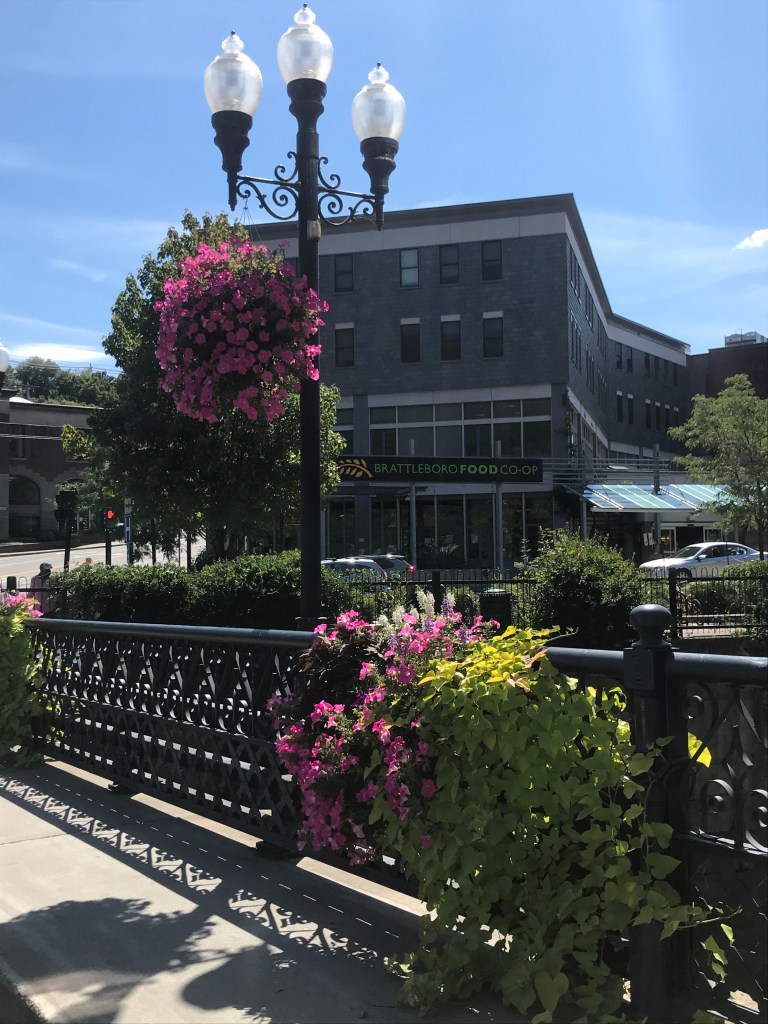
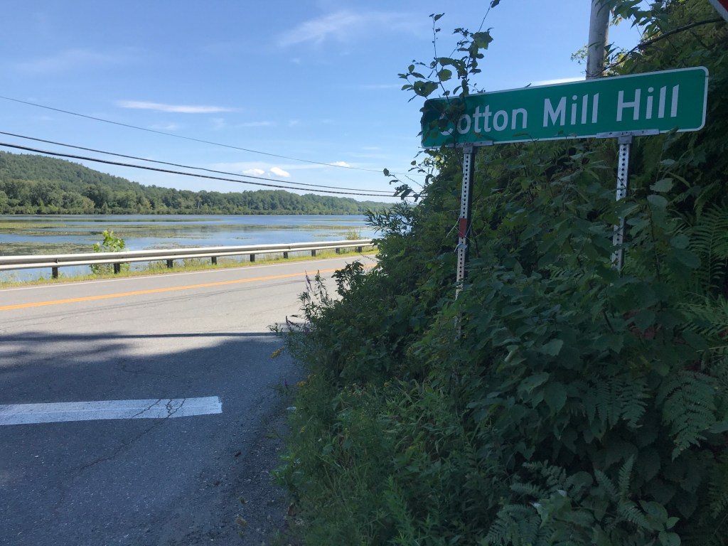
I pulled into the parking lot of the “On The Waterfront” shopping center, which is perched right above the last stretch of the West River before it empties into the Connecticut. There is a marina just up river, so there were some boats docked below. I didn’t pause long to investigate however, as I had many miles to cover (on 2 wheels and 4) before my journey was done. I began riding south on Route 5 into the heart of Brattleboro. It’s such a good-looking town, and it was nice to be right in the middle of it. I passed the historic Brooks House which has been refurbished after a 2011 fire, and also cruised down by two of my favorite area business: Sam’s Outdoor Outfitters (for obvious reasons) and also the Brattleboro Co-Op (just a beautiful building with great products). I think it’s because of my ogling the Co-Op that I took my first wrong turn of the day: instead of heading on Vernon Street, I stayed on Route 5. I realized my mistake when I saw the I-91 onramps and detoured past Brattleboro Union High School. Though it wasn’t what I’d planned, it still allowed me to ride down Cotton Mill Hill and enjoy the view of an old mill complex with the Connecticut River Valley in the background. Once down on Route 142, I passed Cersosimo Lumber Company and their enormous complex, some of which looked like room-sized kilns where they dry lumber. There seemed to be some heat coming from them at least. They also had some uncut logs that they were keeping wet with sprinklers. I managed to veer into the path of them, and get a little cool down.


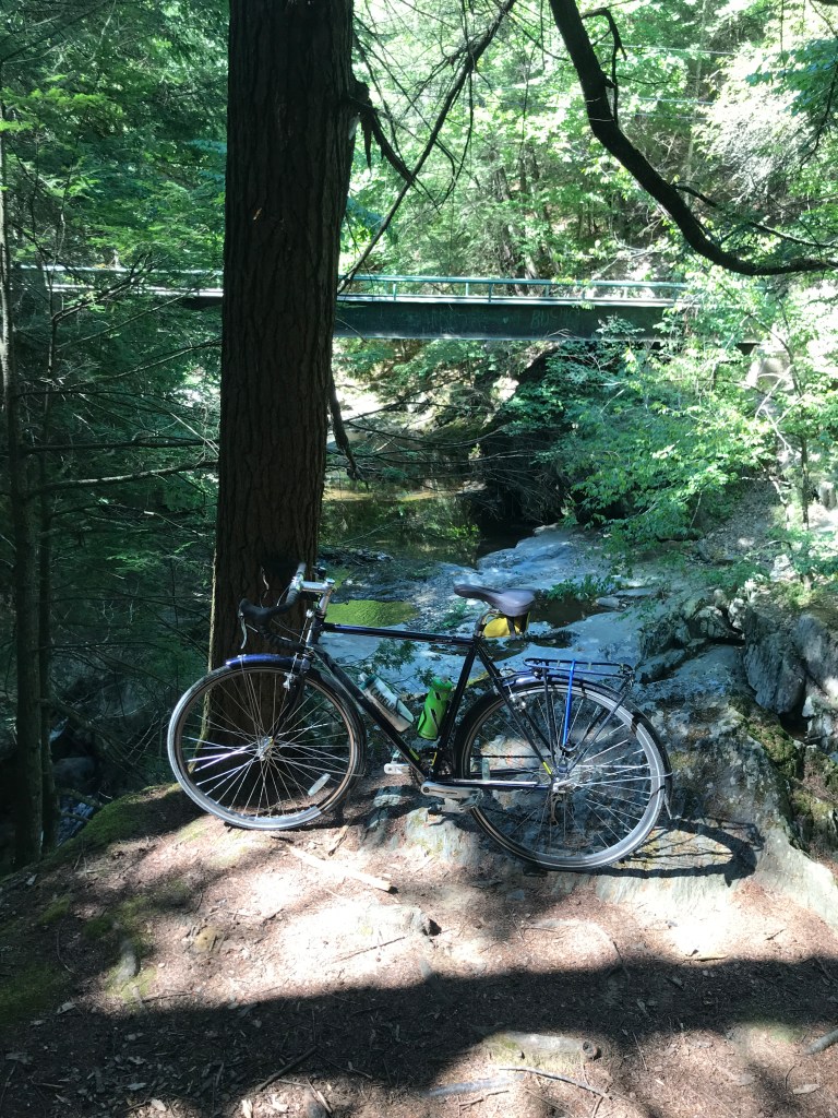
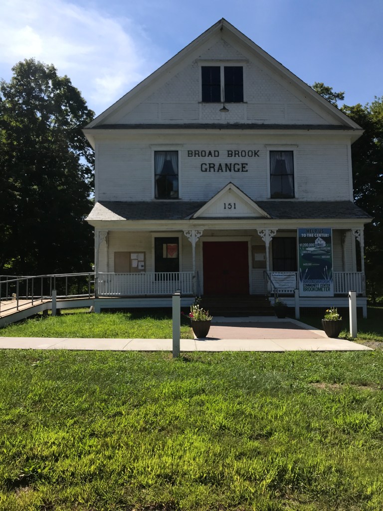
After passing the lumber yard, I quickly crossed the Vernon border. Vernon is the most south-easterly state in Vermont and is generally bereft of long stretches of dirt roads, except for Broad Brook Road. It winds up a deep, narrow valley from the Connecticut with trees casting deep shadows. The water level was very low (southern Vermont is officially in a drought) but it was a welcome shift from the hustle and bustle of Brattleboro. I stopped for a peek into the brook after passing a bridge, then soon entered Guilford and crossed under Interstate 91. I wound along Guilford Center Road, admiring the houses and soon missed another turn. This one didn’t matter much, it just meant I was on pavement for a bit longer: no big deal. I continued to follow the Broad Brook up into Guilford Center, passing the Broad Brook Grange. Granges were developed as community meeting centers to encourage “families to band together to promote the economic and political well-being of the community and agriculture.” They often still serve that purpose, as is the case for this one.
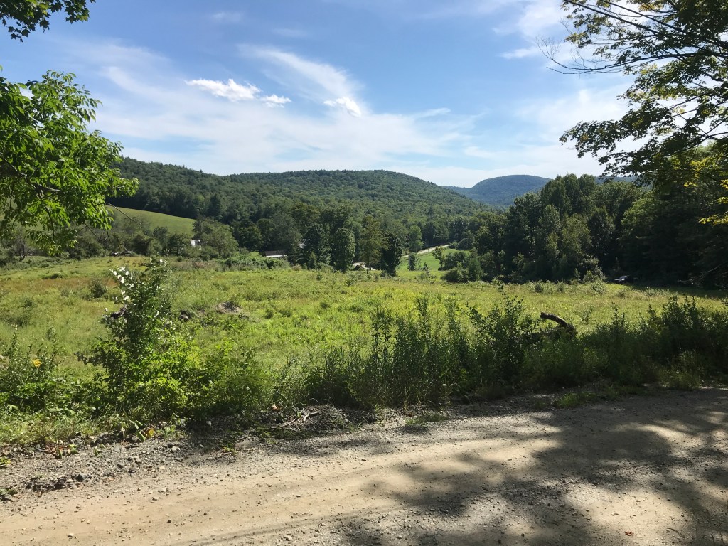
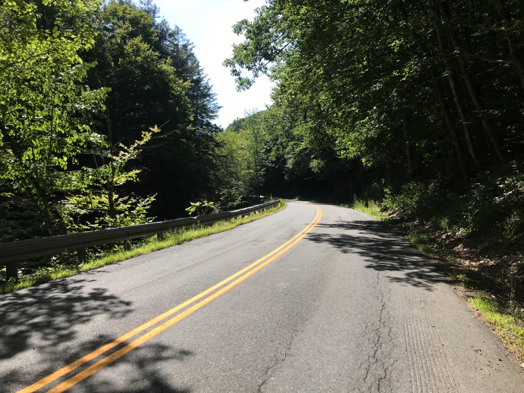
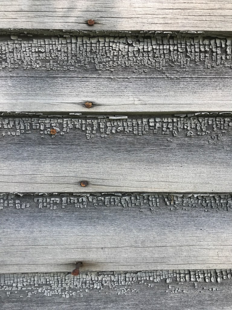
I headed up and over into another river valley, passing by a short road named for a local senator. Once on the other side, I began climbing up the drainage of the Green River in Halifax. The road had a vibe much like that of the Mohawk Trail/Route 2, not far away in Massachusetts. It’s on a smaller scale, but is similarly remote and pleasantly winding. Again I left a river, this time on Moss Hollow Road to make the final push up towards Marlboro College. At the very beginning of the road, sat an old one room schoolhouse, labeled “District #10 School”. It was wildly overgrown and if I’d had more time, I would have stopped to explore around it more. I had to settle for admiring the intricately faded facade and the tiny chunks of tenacious paint sticking to the clapboards.
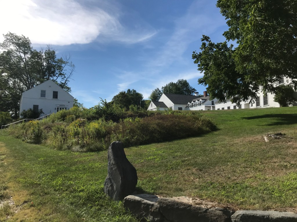
After a topping out of Moss Hollow, I was instantly on the campus of Marlboro College. Until recently, it has been a very small private liberal arts college. With a student population that was steadily falling (to about 150) it ceased operations at the end of the 2019-2020 academic year. As of right now a group called Democracy Builders plans to run a higher education program on the campus and the beloved Marlboro Music Festival will still be able to make its home there. The campus consists of numerous small, white buildings. It has much more of a summer camp vibe than a college vibe. It isn’t where I would have wanted to go to school, but I can see it appealing to a certain student (though apparently not enough of them).
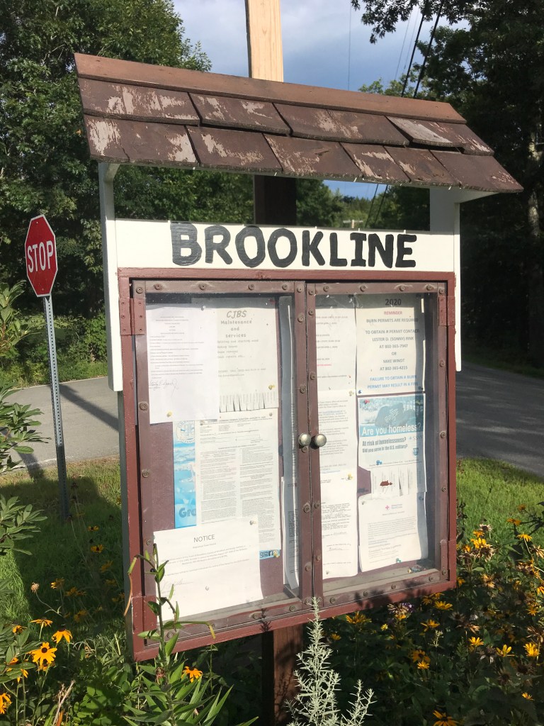
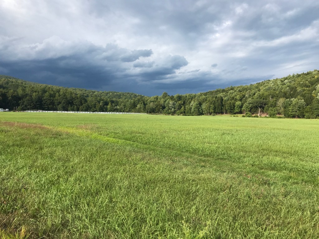
I got a quick descent then brief climb into the village of Marlboro. Luckily, the pattern of rural municipal buildings having water spigots stayed true, and I was able to refill my bottles on the side of the post office. I had a peek at the announcements and also into a small free box. There was an unusual collection of DVDs, but not having the pockets for them, I moved on. Down to Route 9 I went, loving the smooth pavement but not the traffic. Quickly though, I was off the main road, to complete the final part of what had been a log and steady climb so far. Passing Sunset lake, I was about to loose all of that elevation I’d made, but in a much shorter time. This steep drop on a dirt road would have been more pleasant on a bike with wider tires and disc brakes, but I still enjoyed it despite the tired hands I had by the end. Once at the bottom, I worked my way out to Route 30, but instead of taking a right back towards Brattleboro, I kept north, to check off one more small and difficult to reach town: Brookline. This long spur was necessary because no matter how I created routes, Brookline’s geography just wouldn’t let me fit it nicely into a loop. So I made a long out and back to Ellen Ware Road, the closest dirt rod I could find.

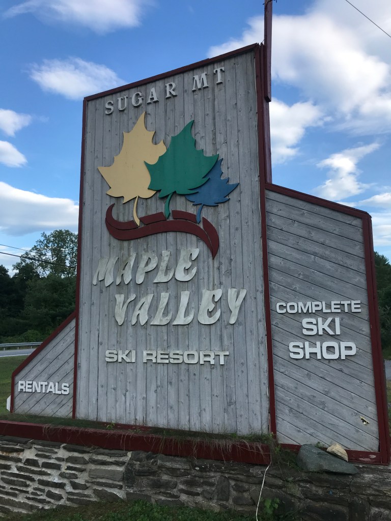
After doubling back to Route 30 I was in the lovely, flat, meandering home stretch. Just a few miles of pavement, then dirt all the way! Before that dirt though, I passed a defunct ski area called Maple Valley. It looked like it had been a nice little place once. The parking was on one side of the road, with a small tunnel underneath to connect over to a modest lodge. The trials beyond were starting to get overgrown and the lifts looked rusty at best. Its last year of operation was in 2000 so the wear and tear in understandable, but it appears a brewery may be put in there, with skiing not far behind?!? Maybe it will have a renaissance like Ascutney! One can hope.
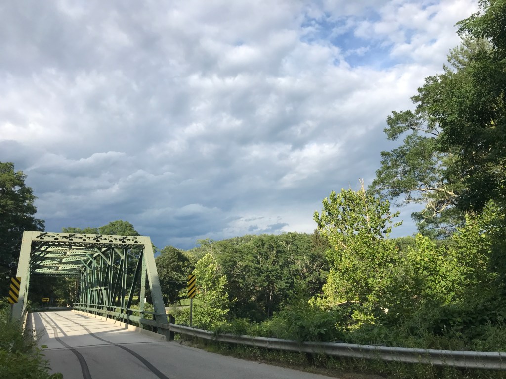
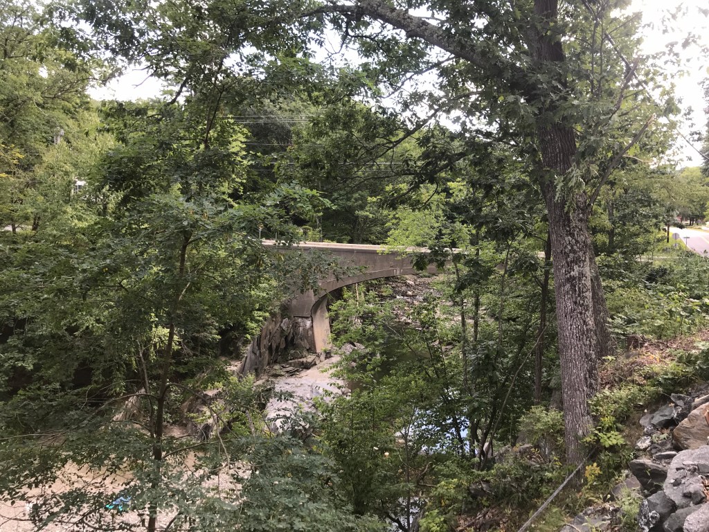
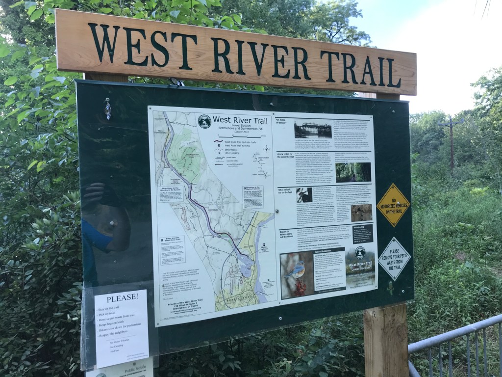
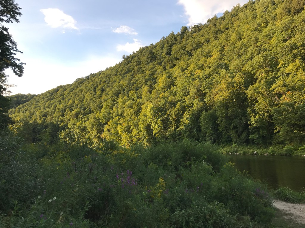
Soon after Maple Valley, I made a left onto the West Dummerston covered bridge. Its 280 feet length makes it the longest covered bridge entirely in the state of Vermont. It certainly was a long cruise through it. It was also quite enclosed, so I felt some slightly spooky feelings as I coasted through. Let’s just say I was happy there were lights. Back onto dirt, and I continued downstream, this time on the quiet side of the West River. After passing some nice swim spots and old bridge foundations, I made it to the rail trail. This trail is technically part of the West River Trail system. If you read about by adventures on Ride 5, you’ll remember this trail and I have a bit of a history. However, from all reports and appearances, it looked like this part would be much more navigable. It certainly proved to be, even treating me to a view of the very fancy bridge that carries I-91 over the river. Quickly I was back by the marina and into my car. I still had two hours of driving to get to see my family, but it had been a long ride, so I (of course) treated myself to a quick swim at what is apparently called “The cornfield“. Rinsed and refreshed, I was ready to head on down the road.

The Details:
https://www.strava.com/activities/3946939245
https://ayvri.com/scene/gdkz16el5z/cke8k9hl800013h69mcdchxiu
