Having taken last weekend off from 251 rides, I was excited to get going on this one. It was also the beginning of a week off from work, so I was especially ready to be on my bike for a while. In choosing which ride to do, I wanted to check off a southern one since I know they’ll be harder to make happen. While not the furthest south, this route was plenty far away: 2 hours one way, so I got up and on the road fairly early. On the way down, I had some creeping doubts about the arbitrary nature of this whole challenge and questioned whether it was worth it to spend 4 hours in my car to ride my bike. But at the very lest I’ll be on the bike longer than in the car. While the journey was long, once I got off familiar roads (I’ve seen enough of you Route 7) and into new towns, that feeling began to fade. Once I made it to the perfect town green of Weston, I was raring to go (plus it was going to be a hot one, so I didn’t want to dawdle).
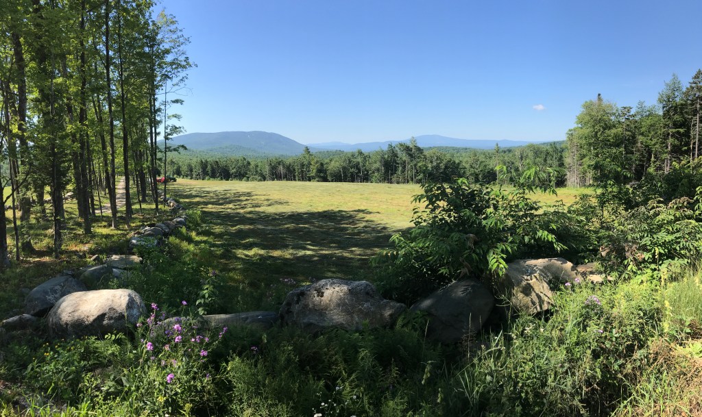
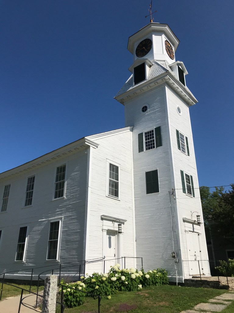
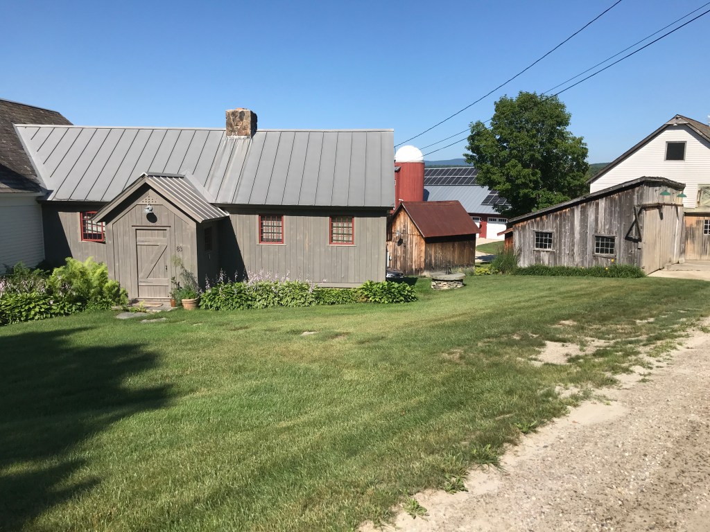
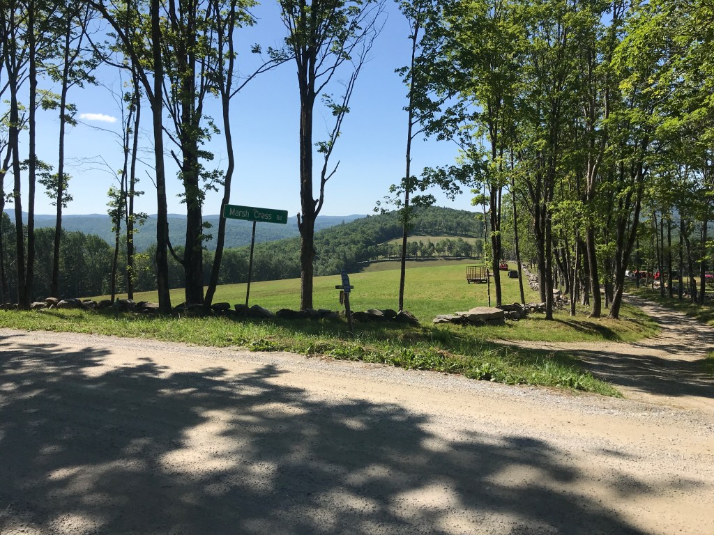
This route is the first that is made entirely of towns that I have never visited before and Weston started it off with a bang and didn’t disappoint. There is a classic, simple white church right in town (the first of many I’d see on the ride) and once out of the town center there are plenty of views from roads dotted with Vermont neo-farmhouse homes. You know the type: wanting to look traditional, but kind of oversized, with an attached red barn and all just a bit too perfect and square. Don’t get me wrong, I’d live in one in a heartbeat, but they’re definitely their own genre and definitely distinct from actual old farmhouses. Many of them also seemed to have their own machine-dug ponds. These ponds and also dams (more on those later) also became a theme for the day. One of my favorite views was from Marsh Cross Road in Andover. Some folks were just wrapping up haying, and you can look down a row of trees and out into a little manicured valley in the mid-distance and all the way to Stratton and Bromley ski areas (I think) in the further distance. I worked my way down to Route 11, which they are resurfacing and had been scraped up. Mercifully, I was only on its bumpy surface for a few tenths of a mile, however, Howard Hill Road wasn’t much of a respite.
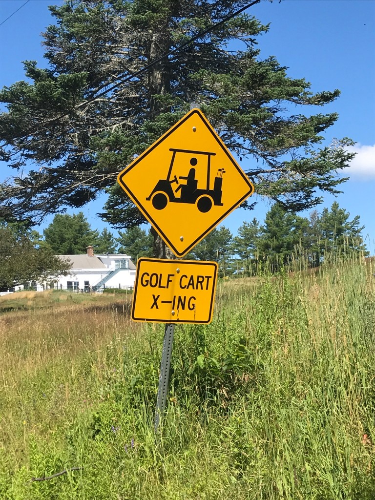
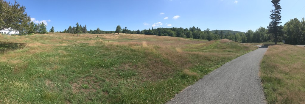
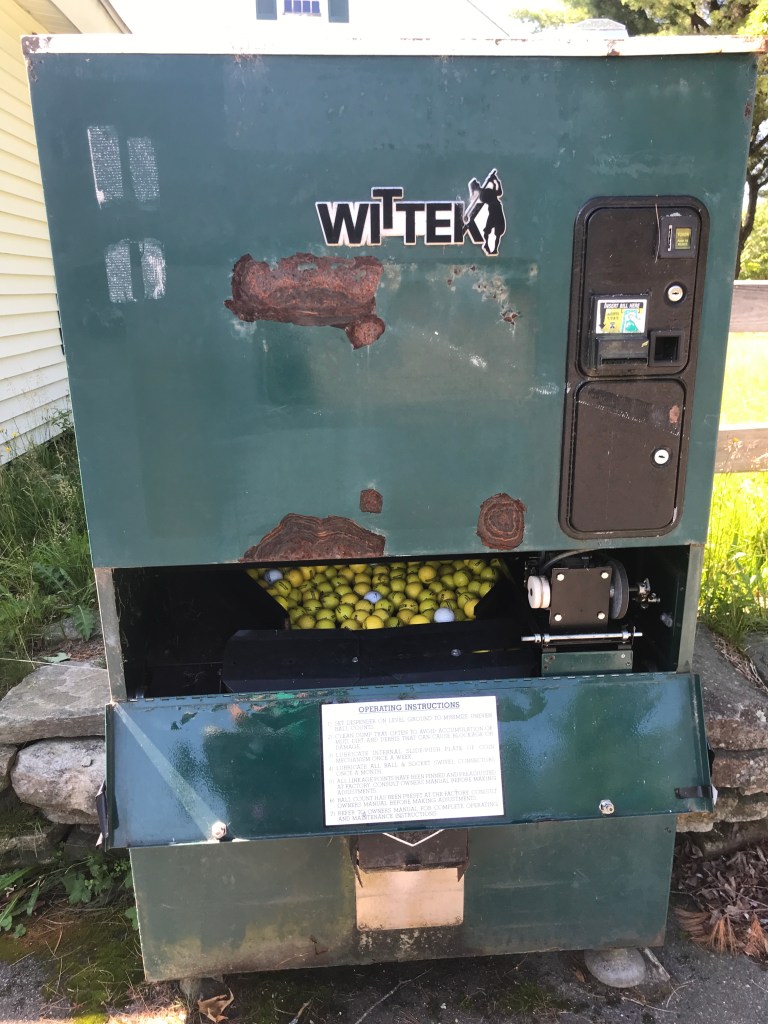
On the slog up and over Howard Hill, I was greeting by a much more rustic and rural vibe: a few more camps and year-round homes. I was also treated to a majestic view over the top of a yurt someone had put up. This continued until I saw a “Golf Cart X-Ing” sign. I thought it had to be a joke. It was heavily wooded and there had not been much of anything for at least a few miles. However, once I turned onto Popple Dungeon Road (great name by the way) I saw yet another sign, this one with an image of an actual golf cart! It couldn’t be a mistake, and sure enough just beyond the sign I came across the overgrown remnants of the Tater Hill Golf Club. This course had most recently been owned by Okemo resorts, but was shuttered within the past year. Other than a guy who was upset that the bar was closed, it has generally good reviews. And if you’re an industrious local, you can bring your own bar to the course. Sadly, its future appears uncertain.

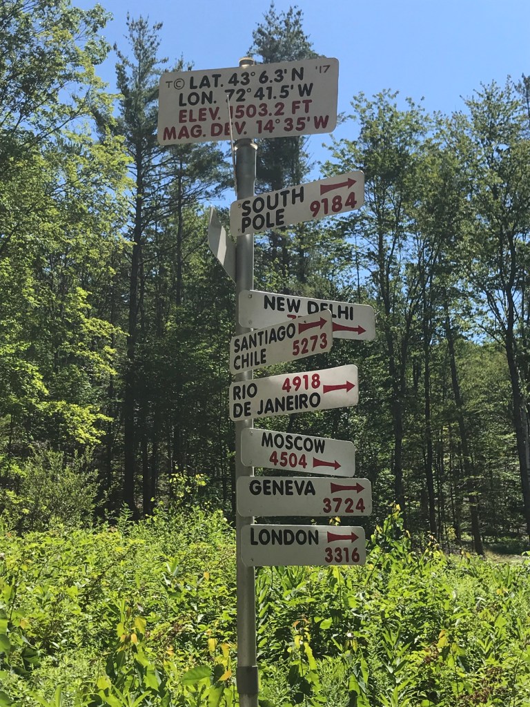
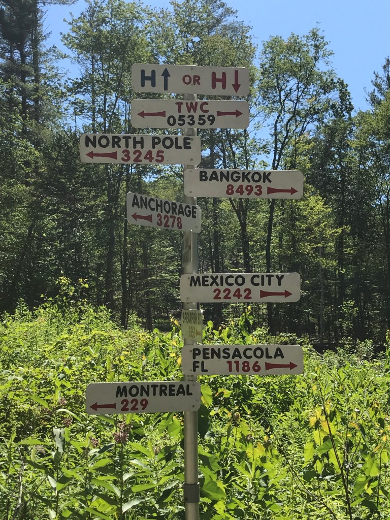
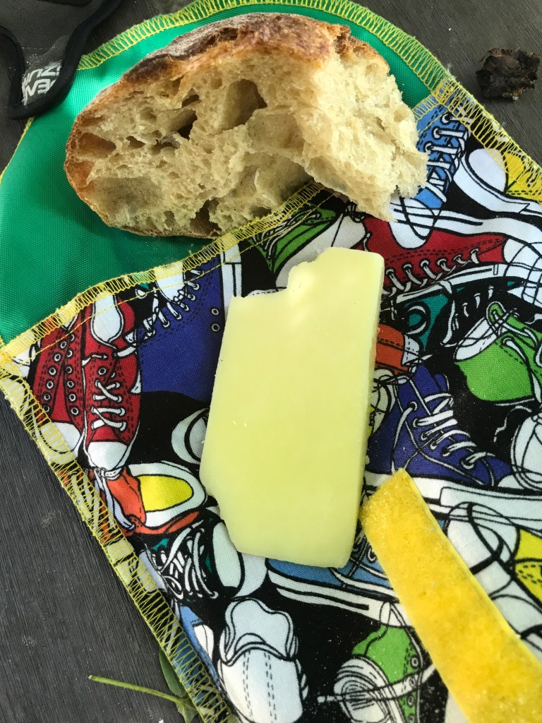
I cruised down into Windham (past another white church of course) and on some hot paved roads, but eventually found some lovely shade. By far my favorite road of the day was Old Cheney road in South WIndham. It’s not maintained in the winter and kind of a Class 3.5 road. You go along past some working farmsteads (one with sheep if my nose is to be believed) and have amazing views into their pastures. It then narrows out and you get a fun down and quick up into the village of South Windham. I then had a slight climb up out of town then a very long descent down Back Windham Road into East Jamaica (as opposed to West Jamaica). On the way down I just had to stop at a small collection of signs. Many of them weren’t exactly my style or sentiment, such as “Welcome to Vermont. Now Leave!” But in addition to the Don’t-Tread-on-Me type themes, there was also a pair of fantastic directional sign posts. It shared the distances to such world capitals as Moscow, London, Bangkok, and…Pensacola Florida?!? Knowing I had many more miles myself to go and not wanting to wear out my welcome, I moved on quickly downhill. I reached Jamaica proper soon after and grabbed a few things at D&K’s Grocery Store, refilled water at the community church (guesses on what color it was?), and settled in for “lunch” enjoying the proliferation of “Black Lives Matter” signs and banners about town.

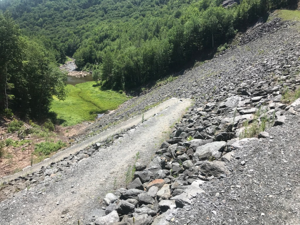
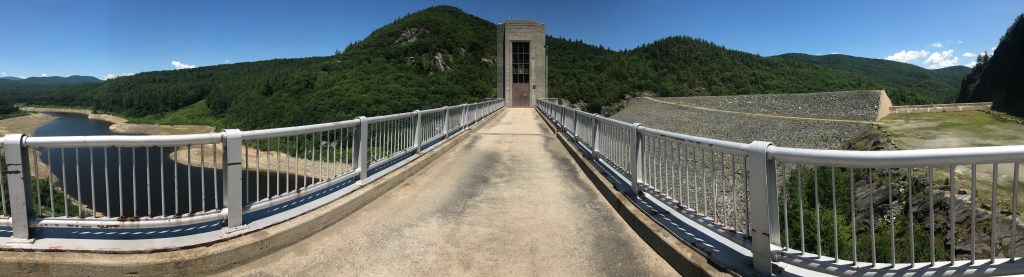
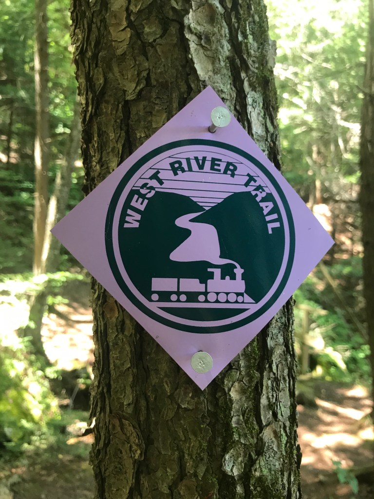
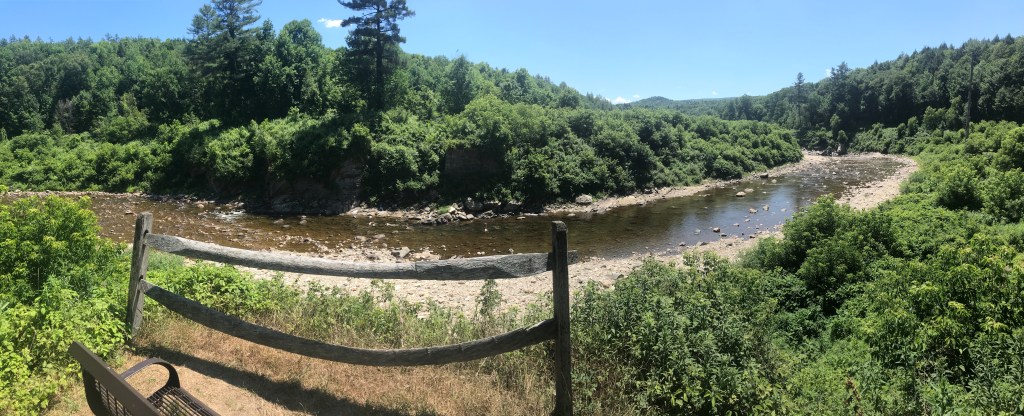
Next up was Jamaica State Park: the gateway into the most unknown portion of my journey. I paid the $4 at the gate and quickly I was through the campsites and cruising up the shared use path that snakes that way through the steep valley that has been cut by the West River. I worked my way upstream, past many incredibly tempting swim spots to finally see the massive face of stone rising above me. It was the Ball Mountain Dam. Completed in 1961, it was built by the Army Corps of Engineers for flood control, and it is quite the sight especially from below. I worked my way up the face of the dam along tight switchbacks, hiking my bike for most of it, since a slip-up would mean a steep, sharp trip back down to the bottom. Once on the spine of the dam, I rode over to the tower that must serve some function other than as a viewing point, but I’m more tourist that hydrological engineer so the view was fine for me. I then set off to find the continuation of the West River Trail. Its logo made me believe it would be a smooth rail trail. Maybe slightly underutilized, but an even grade. What I (eventually) found was a trail that was much more mountain bike/hike than gravel cycling. So, not too proud to walk, I hoofed it for about 3 miles. The scenery was fine, and I even passed a group of teenagers at a waterfall swim spot who looked at me a bit sideways as my bike and I plodded along. Mercifully, the track smoothed and flattened out and I enjoyed mellow riding through Winhall Brook Campground a site created as part of the project that built the dam.

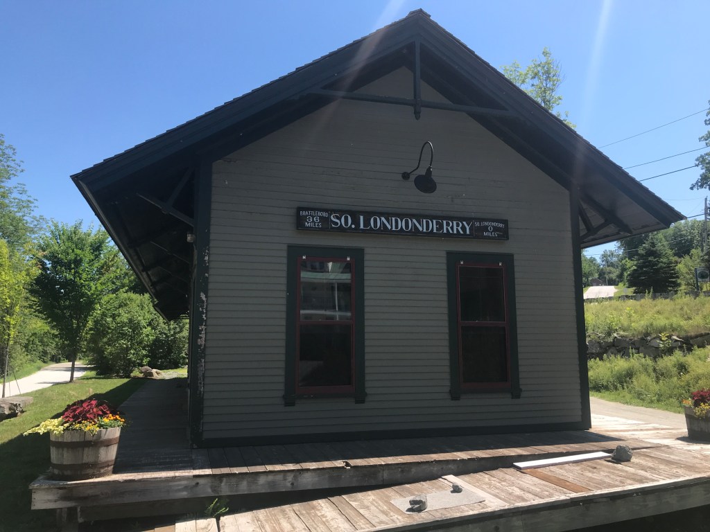
Eventually the rail trail dumped me into South Londonderry. Just south of the intersection with Route 100, I passed an old railroad depot. This depot used the be the northern Terminus of the West River Railroad which ran between there, and Brattleboro. It had a history of difficult maintenance and accidents and even earned the nickname “36 Miles of Trouble”. The depot is now a visitor’s center and also houses a few offices. One of the organizations housed there is actually the Rowland Foundation which provides fellowships to Vermont secondary education teachers, and I happen to know two of the fellows from the past years: Alyssa and Rachel! Vermont continues to prove itself to be a small even beyond its geography and population.
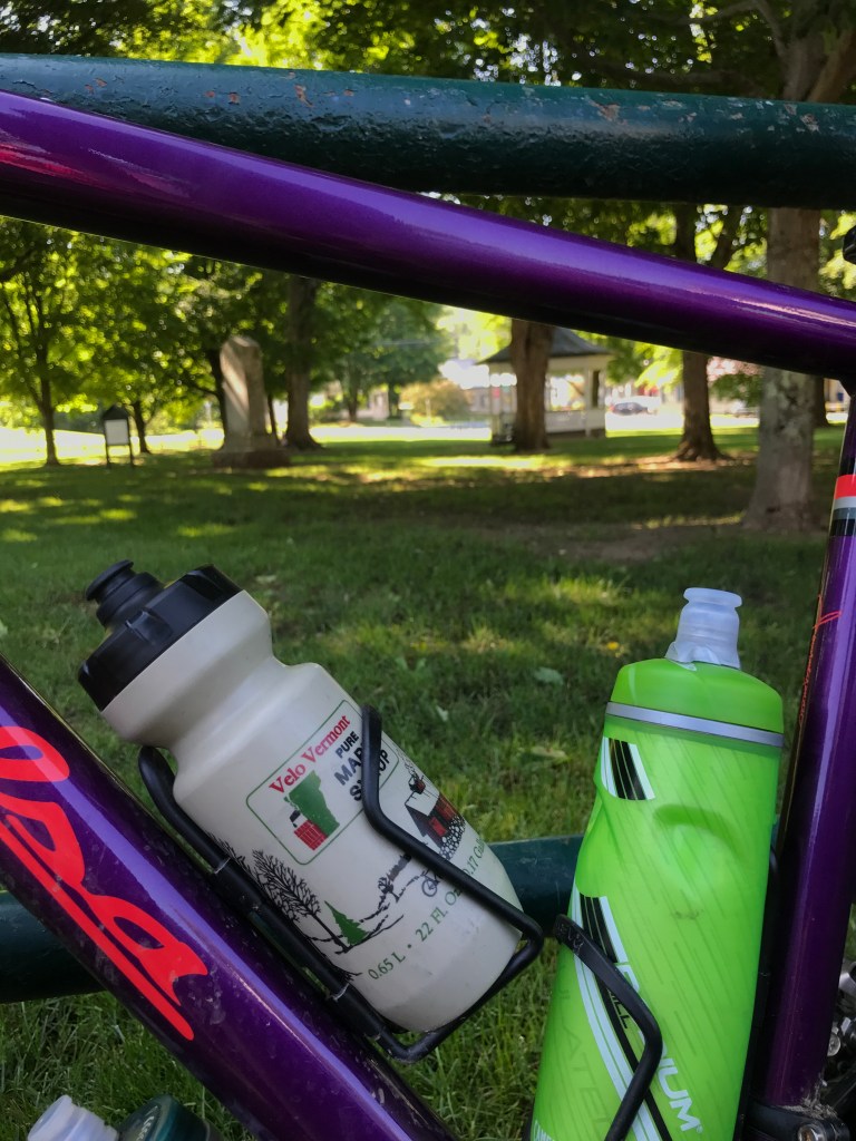
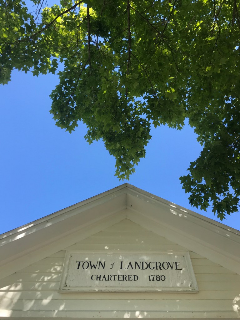
All that info is interesting, but to be honest, the next section of riding wasn’t all that memorable. It’s not that it wasn’t particularly scenic, there were some choice views, it’s just that it fell in the wrong part of the ride and I mainly planned it to just check off Winhall. Sorry for giving you short shrift Winhall. There were low points: like when the folks at the JJ Hapgood General Store & Eatery wouldn’t refill my almost empty water bottles. But there were high points too: like the scenery of Landgrove and its town hall’s icy cold water spigot. Really the most noteworthy thing that happened was a realization I had. In being alone with my thoughts and grinding out a hot, long climb I realized that I should plan more routes where I start out riding north in the morning and loop back south in the afternoon. Why? Because the shady side of the road tends to be the eastern side as the sun rises and the western side as it sets. The side you’re on is more likely to be shaded if you ride north then south. Hopefully that makes sense. Anyway, you get the idea of where my head was. Here are two of the only three pictures I took from the end of the ride:
I don’t want to make the end of the ride sound like a suffer-fest. It wasn’t all that bad, but let’s just say the dirt cruise back into Weston was good, but the dip at Buttermilk Falls on the way home was much better. Here’s the cooler days for future rides!
The Details:
https://www.strava.com/activities/3782170145
https://ayvri.com/scene/gdkz16el5z/ckct7l8no00013h69vi7z1hlx

3 thoughts on “Ride 5: Weston, Andover, Windham, Townshend, Jamaica, Londonderry, Winhall, Peru & Landgrove”