On a cool overcast Sunday, I clipped into my pedals and eased my way across the Church Street Covered Bridge in Waterville. Eased might not be quite right, I missed the boards that run parallel to the tires and traffic, so I ended up taking the middle line, but it was certainly smooth enough and a beautiful (if inauspicious) start to a long journey.
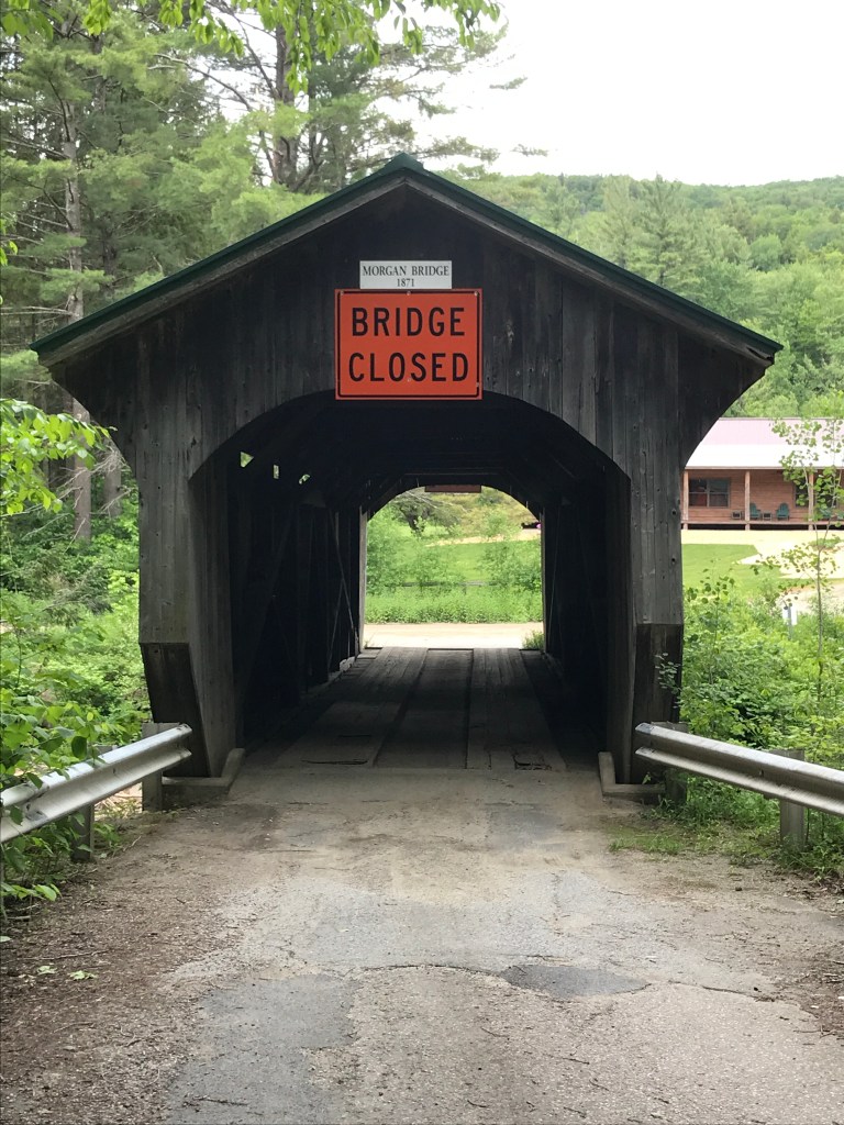
I won’t get into the specifics of this whole project here (check out the links above for more details). But I was excited not only to be out on roads I’d never ridden before, but also because of the excitement of finally riding one of the routes I’d been poring over for so long. I made the climb out of Waterville up Beals Hill Road, hitting my first dirt of the ride. It was a nice steep-ish pitch and settled me right in. It switches to a fun class IV section after becoming Clark Road once you cross Codding Hollow. There’s some amazing exposed bedrock that you cross. I then cruised down to Route 108 and had originally planned to take a left and ride all of Back Road (and get another covered bridge in the mix too), but seeing the elevation I’d lose then need to make up right away, I took a right and just crossed to Back Road via the Morgan Bridge (I got my covered bridge fix in anyway).
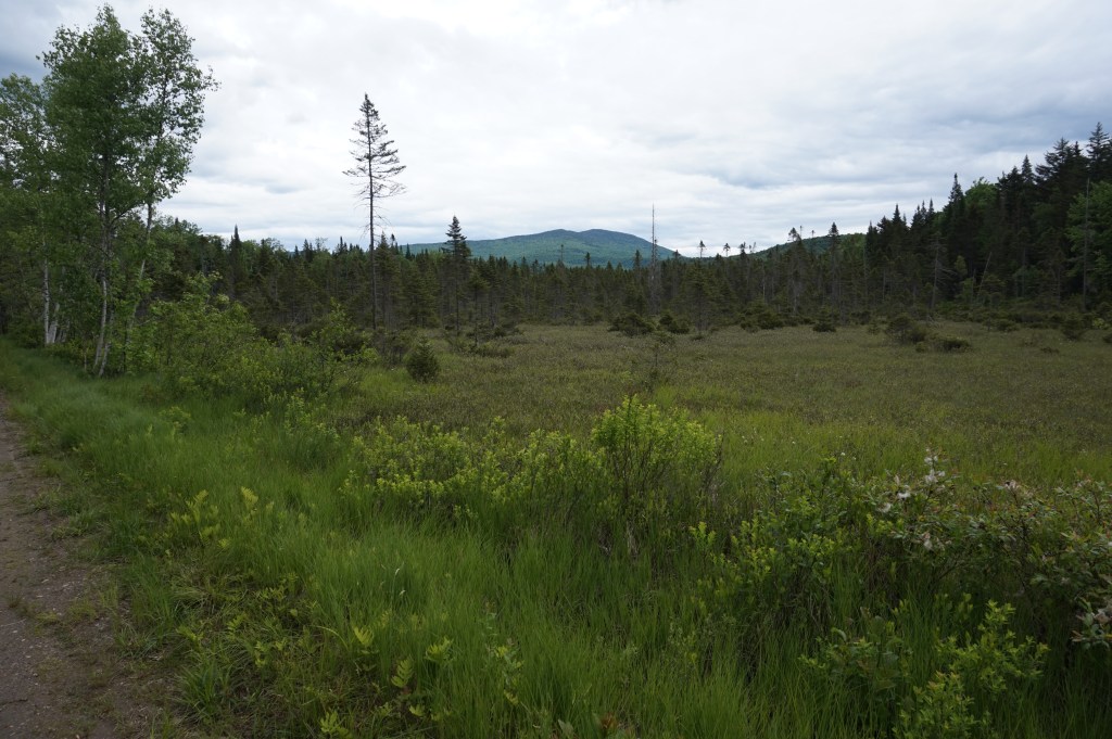
After seeing a deer on Back Road, I quickly passed through Belvidere Center (blink and you’ll miss it) and started up Bog Road. This was even more quiet than the earlier roads: mostly camps and a logging operation or two. Right before connecting out to 108 again, I got a fantastic view of Mount Belvidere and its telltale fire tower, but not its telltale asbestos tailings.
Back on pavement, I cruised into Eden, passing the Long Trail and many cars in the trailhead parking. Crooks Road provided a lovely downhill then I was faced with yet another “Road Closed” sign. Since the last one had been so easily passable, I pushed my luck but to no avail. There was a new bridge going in on Knowles Flats Road. But after a quick detour, I was back on track only to find…you guessed it ANOTHER ROAD CLOSED SIGN! This one at the beginning of Blakeville Road would have been more of a pain to detour, so I tried it and was rewarded with an open road and the toughest climb of the day.
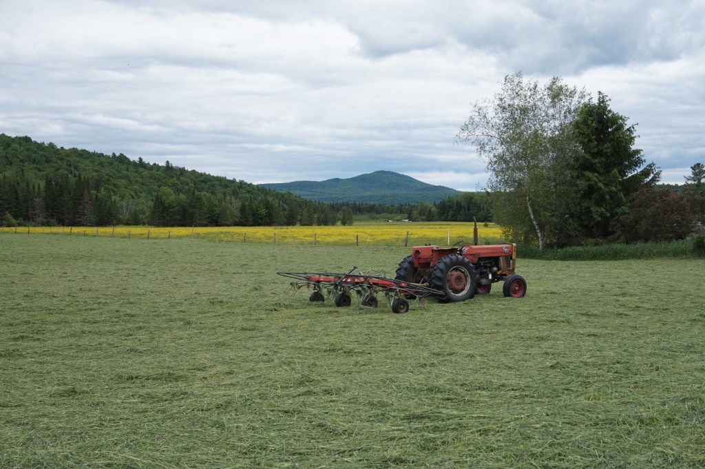
Paradoxically though, Cooper Hill Road marked the beginning of my favorite section of the day. It quickly becomes a well maintained by certainly just double track road. I was passed by at least 30 ATVs while on there, including a caravan of about 15 all riding together. But once the engines were far away and the dust settled down it was lovely, quiet and green. Easing back into some civilization I took a left jog up McKinstry Road in Hyde Park. This was the gem of the ride. Stunning views to the south and west into the valleys below. Plus some amazing barns and houses.
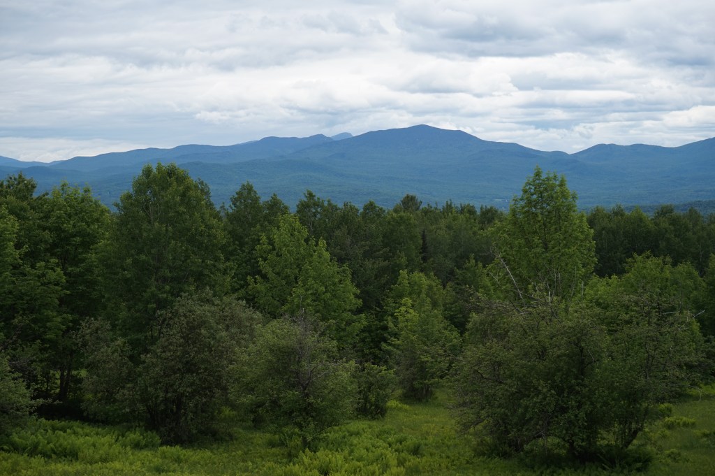
I then slowly swung back west and made my way across 100, then 100C and up into the hills above Johnson. The views remained stunning as I wound my way up. I crossed the Long Trail again on Plot Road and then enjoyed a speedy paved decent into Waterville.
I had such a blast and am looking forward to my next ride this coming weekend with a bigger crew. We’re headed to the Sharon area and though this route wasn’t designed by me, I’m counting in towards this project. Why not, right? I make the rules and I say it counts. Anyway, thanks for reading and be on the lookout for more adventures coming soon!
The Details:
https://www.strava.com/activities/3615699274
https://ayvri.com/scene/gdkz16el5z/ckbhvqef700013g693p7gtw4a

Love this! Watching you do your route on ayvri was trippy. When you talk about designing the route, what’s your process? Is it all Google maps? Or are you piecing together recommendations from other cyclists that you find online? Any books or paper maps in the mix? Also, when you hit a “road closed” or decide to switch up your route because of elevation, are you always able to rely on having data on your phone to guide you?
LikeLike
Great questions! So good it prompted me to add a resource list to the “The Plan” page. Look over there for the answers.
LikeLike